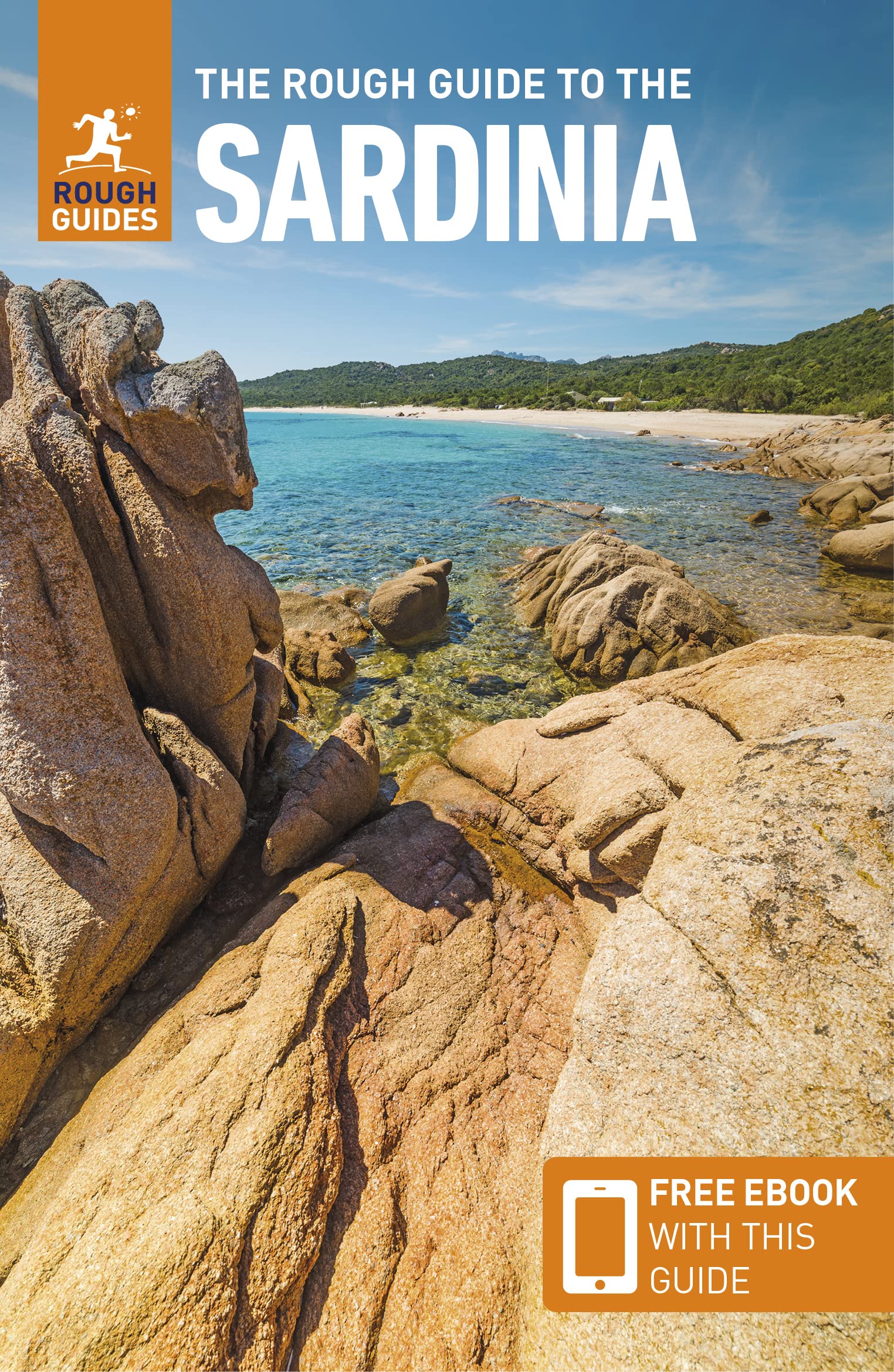
Sardinia
Beschrijving
Second largest island in the Mediterranean.
Paden in deze regio
Links
Feiten
Verslagen
Gidsen en kaarten
Overnachting
Organisaties
Reisorganisaties
GPS
Anders
Boeken
De Zwerver
Netherlands
2016
Netherlands
2016
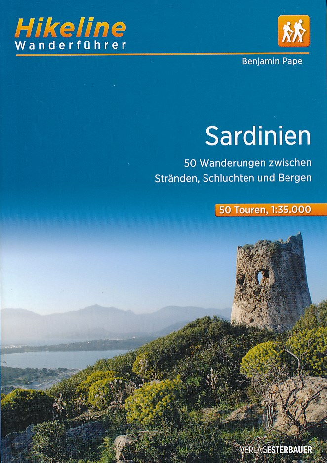
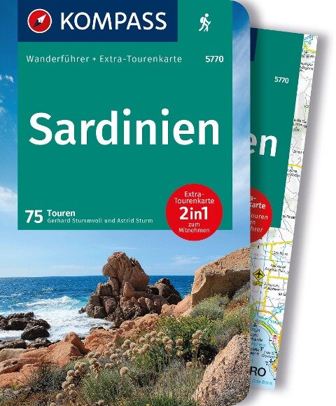
- Wandelgids Hikeline Sardinië - Sardinien | Esterbauer
- 50 Wanderungen zwischen Stränden, Schluchten und Bergen, 50 Touren, 560 km. 1. Auflage. Read more
De Zwerver
Netherlands
2018
Netherlands
2018
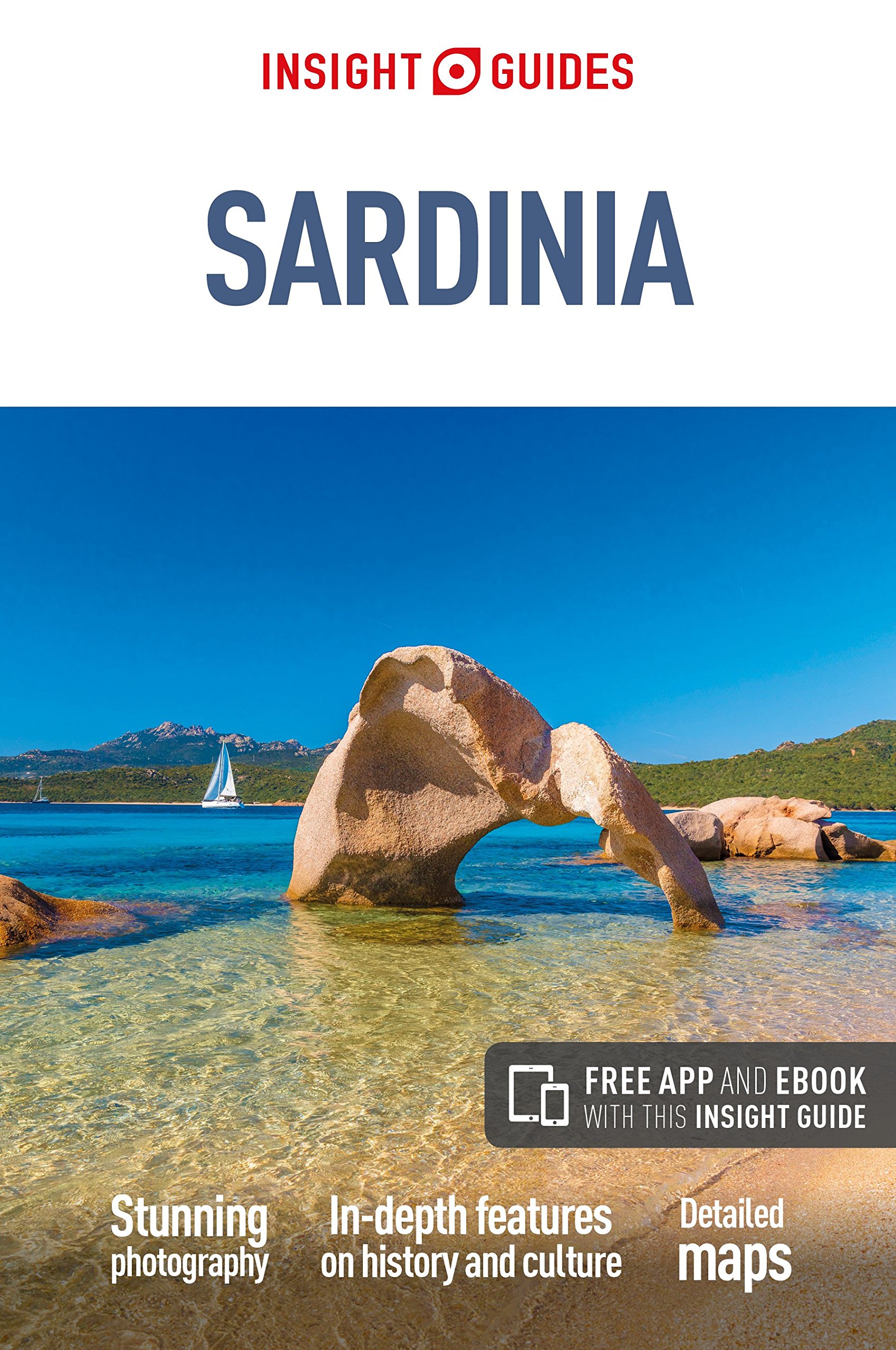
- Reisgids Sardinia - Sardinië | Insight Guides
- Dé gids als het gaat om achtergrondinformatie en prachtige fotos. Door het formaat en gewicht niet zo zeer om mee te nemen, als wel om thuis voor en na de reis uitgebreid te lezen. Kwalitatief van een hoog niveau! Engels. Sardinia is known for its crystal-clear emerald seas, snow-white beaches and glitzy resorts, but those who venture inland... Read more
De Zwerver
Netherlands
2016
Netherlands
2016
- Wandelgids Sardinia - Sardinië | Sunflower books
- Sardinia is the Sunflower Landscapes guide to exploring the best walking and touring possibilities on the island. The guide covers a range of routes including walks in Gallura, Supramonte, Barbagia, Marmilla, Costa del Sud, Iglesiente, Catena del Goceano and Nurra. A double-sided, fold-out touring map at the back of the book gives an overview... Read more
- Also available from:
- Stanfords, United Kingdom

Stanfords
United Kingdom
2016
United Kingdom
2016
- Sardinia Sunflower Landscape Guide
- Sardinia is the Sunflower Landscapes guide to exploring the best walking and touring possibilities on the island. The guide covers a range of routes including walks in Gallura, Supramonte, Barbagia, Marmilla, Costa del Sud, Iglesiente, Catena del Goceano and Nurra. A double-sided, fold-out touring map at the back of the book gives an overview... Read more
De Zwerver
Netherlands
Netherlands
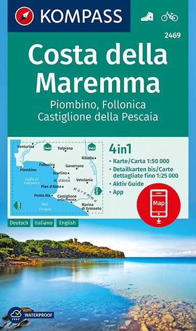
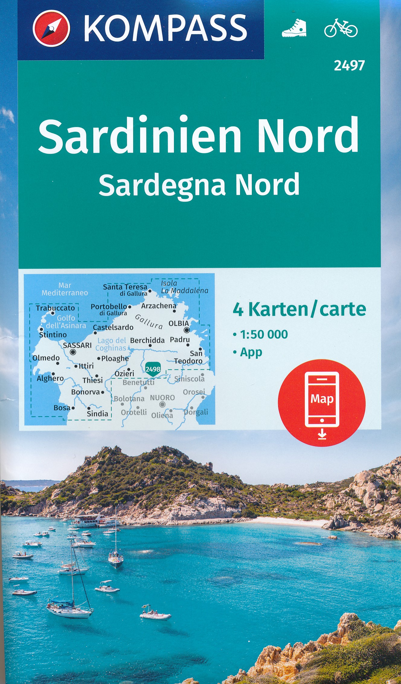
- Wandelkaart 2469 Costa della Maremma | Kompass
- Die GPS-genauen KOMPASS Karten sind ideal für Ihre nächste Tour! Der lesefreundliche Maßstab und nützliche Informationen über die Region erleichtern Ihre Planung.IT Read more
- Also available from:
- Stanfords, United Kingdom

Stanfords
United Kingdom
United Kingdom
- Maremma Coast - Piombino - Follonica - Castiglione della Pascaia Kompass 2469
- The coast of Maremma at 1:50,000 from Kompass, on a map printed on durable, waterproof and tear-resistant synthetic paper. Coverage includes Piombino, Follonica, Castiglione della Pescaia, Marina di Grosseto, Wetulonia, Ribolla, Valpiana, Venturina, etc. Contours are at 40m intervals, with a 2-km UTM grid. Extensive overprint includes cycling... Read more
Bol.com
Netherlands
Netherlands
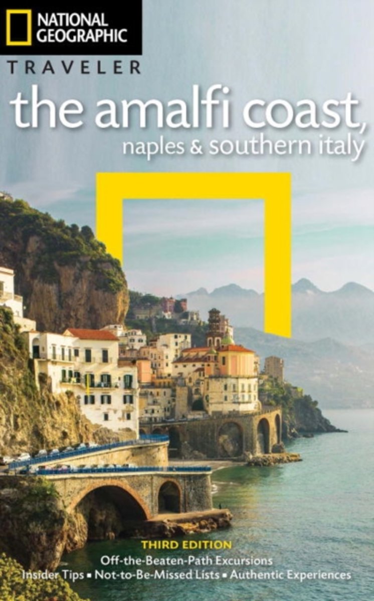
- NG Traveler
- Readers go on a drive along the Amalfi Coast; a boat trip to Capri and the islands; a walk through old Naples; and visit the Trulli houses of Puglia with author Tim Jepson, a renowned expert on Italian travel. Opening chapters give readers practical advice on planning your trip and explains the city and its surrounds in the context of its rich... Read more
- Also available from:
- Bol.com, Belgium
Bol.com
Belgium
Belgium
- NG Traveler
- Readers go on a drive along the Amalfi Coast; a boat trip to Capri and the islands; a walk through old Naples; and visit the Trulli houses of Puglia with author Tim Jepson, a renowned expert on Italian travel. Opening chapters give readers practical advice on planning your trip and explains the city and its surrounds in the context of its rich... Read more
Bol.com
Netherlands
Netherlands
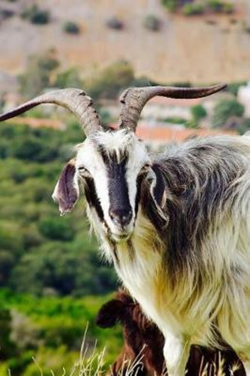
- A Curious Horned Goat in a Mountain Pasture in Sardinia Italy Journal
- This journal with 150 ruled pages awaits your writing pleasure. You can use it to record your hopes and dreams, express your gratitude, to keep a bucket list, as a daily diary, or to jot down your To-Do lists. The possibilities are endless and the choice is all yours. Enjoy! Read more
- Also available from:
- Bol.com, Belgium
Bol.com
Belgium
Belgium
- A Curious Horned Goat in a Mountain Pasture in Sardinia Italy Journal
- This journal with 150 ruled pages awaits your writing pleasure. You can use it to record your hopes and dreams, express your gratitude, to keep a bucket list, as a daily diary, or to jot down your To-Do lists. The possibilities are endless and the choice is all yours. Enjoy! Read more
Bol.com
Netherlands
Netherlands
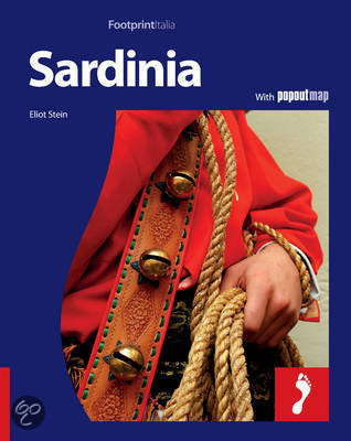
- Footprint Sardinia
- With its 7000 mysterious Bronze Age stone towers, Neolithic 'Giants Tombs' and hundreds of Spanish watchtowers, Sardinia is an outdoor museum where its tangled past meets its colourful present. The most isolated island in the Mediterranean, it basks in a seven-month summer and boasts jagged mountain ranges, beautiful flowering bougainvilleas,... Read more
- Also available from:
- Bol.com, Belgium
Bol.com
Belgium
Belgium
- Footprint Sardinia
- With its 7000 mysterious Bronze Age stone towers, Neolithic 'Giants Tombs' and hundreds of Spanish watchtowers, Sardinia is an outdoor museum where its tangled past meets its colourful present. The most isolated island in the Mediterranean, it basks in a seven-month summer and boasts jagged mountain ranges, beautiful flowering bougainvilleas,... Read more
Bol.com
Netherlands
Netherlands
- Sardinia Island Travel Guide
- Sardinia Island Travel Guide. Italy Vacation. Sardinia was love at first sight for me. No matter how often I return, I find new coastal trails to explore and mountains to climb, hidden bays to kayak to and little known agriturism tucked away in the silent hinterland. The island is deceptive it looks small on paper, but unravel it and it is... Read more
- Also available from:
- Bol.com, Belgium
Bol.com
Belgium
Belgium
- Sardinia Island Travel Guide
- Sardinia Island Travel Guide. Italy Vacation. Sardinia was love at first sight for me. No matter how often I return, I find new coastal trails to explore and mountains to climb, hidden bays to kayak to and little known agriturism tucked away in the silent hinterland. The island is deceptive it looks small on paper, but unravel it and it is... Read more
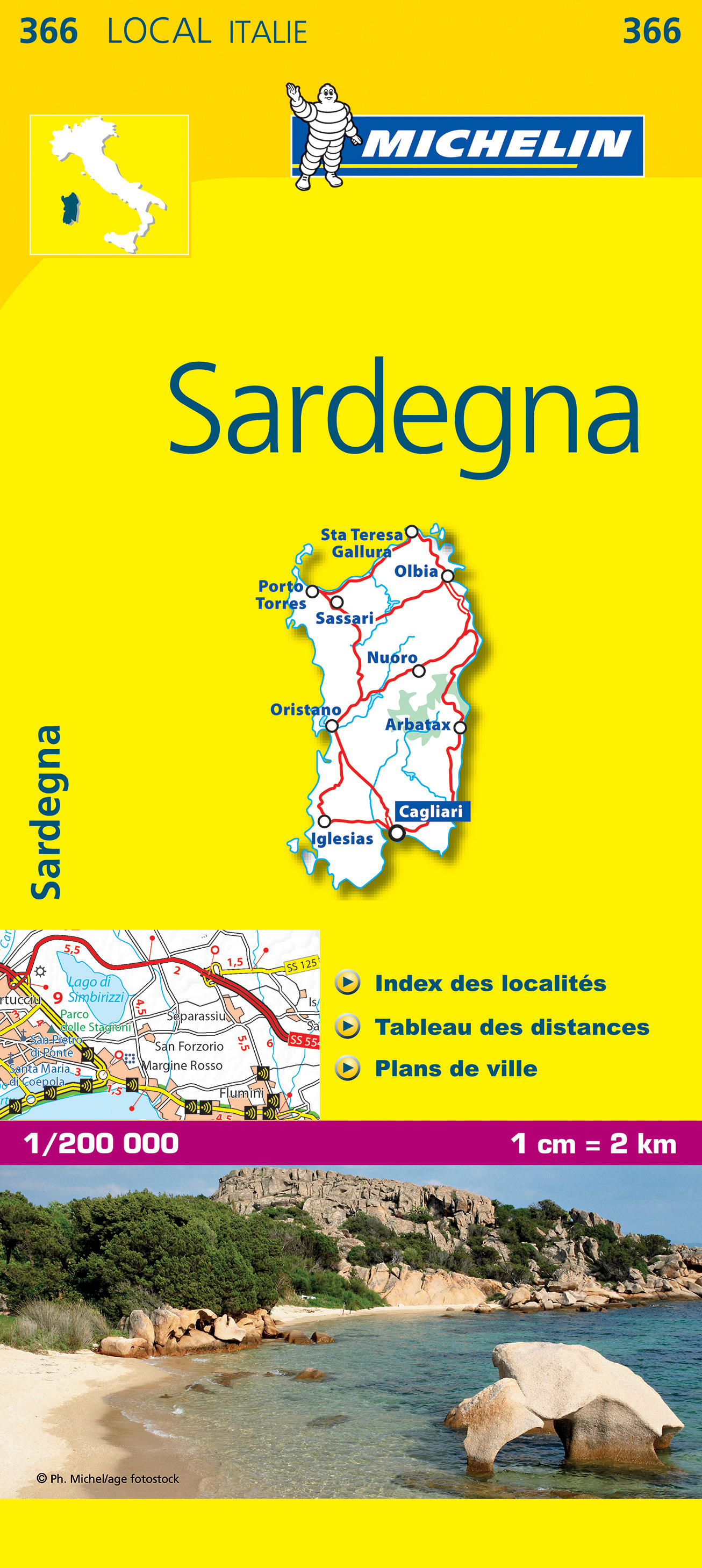
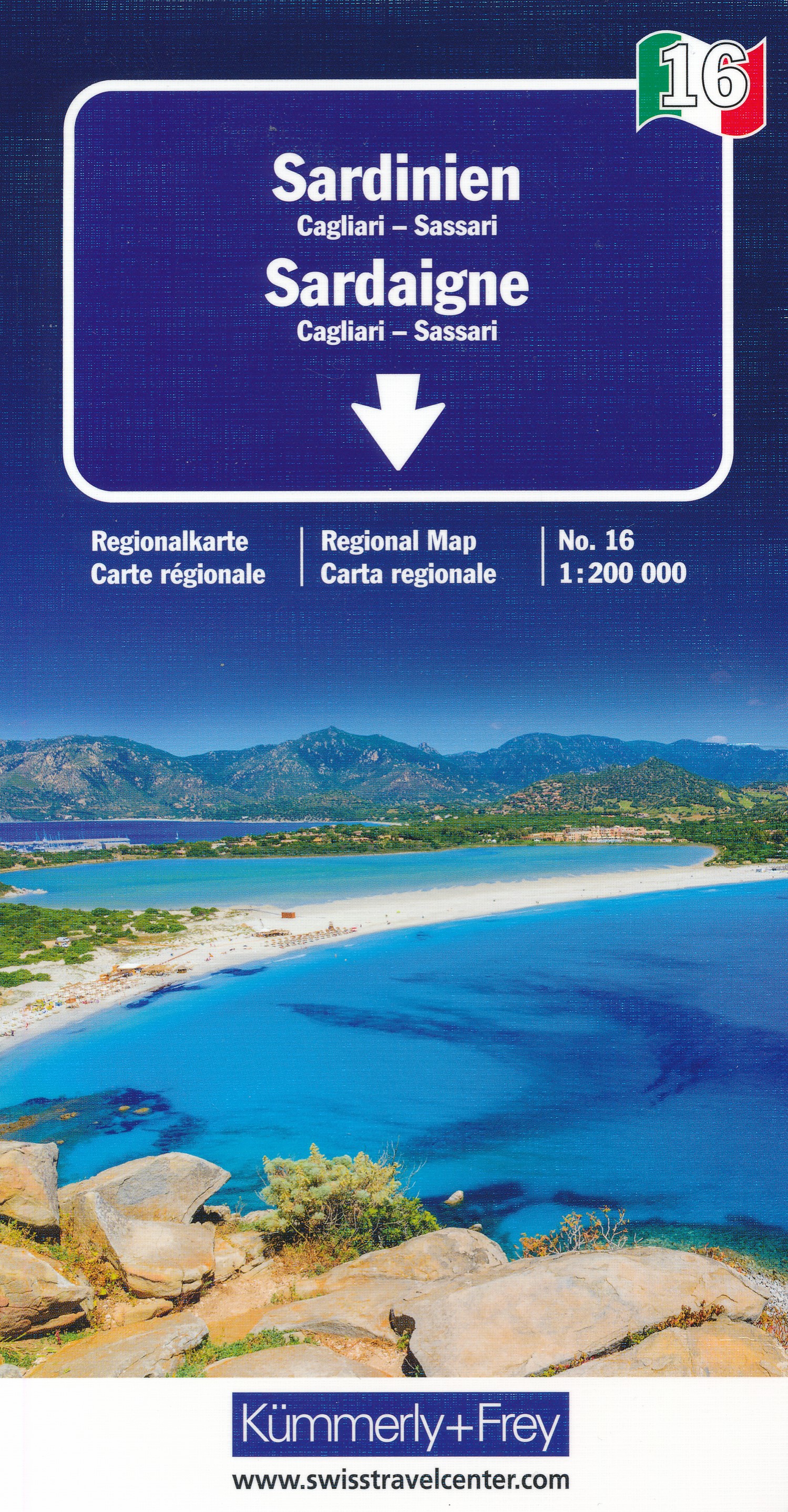
Kaarten
De Zwerver
Netherlands
Netherlands
- Also available from:
- Stanfords, United Kingdom

Stanfords
United Kingdom
United Kingdom
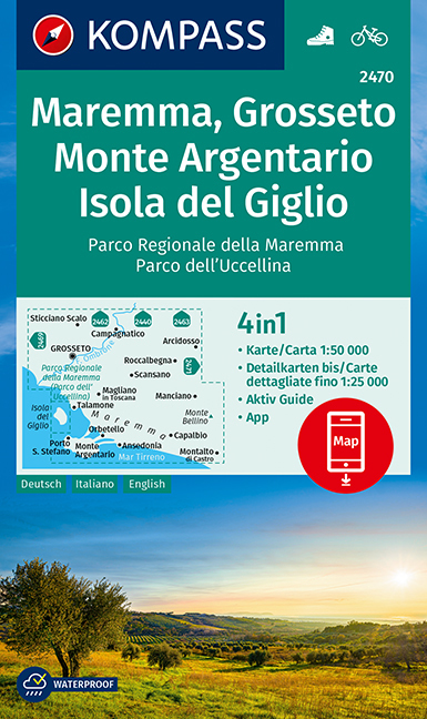
- Maremma - Grosseto - Monte Argentario - Isola di Giglio Kompass 2470
- Maremma - Grosseto - Monte Argentario - Isola di Giglio area on a double-sided map at 1:50,000 from Kompass, printed on durable, waterproof and tear-resistant synthetic paper. Coverage includes Parco Regionale della Maremma, Parco Naturale dell’Iccellina, Monte Bellino, etc. Contours are at 40m intervals, with a 2-km UTM grid. Extensive... Read more
De Zwerver
Netherlands
2024
Netherlands
2024
De Zwerver
Netherlands
Netherlands
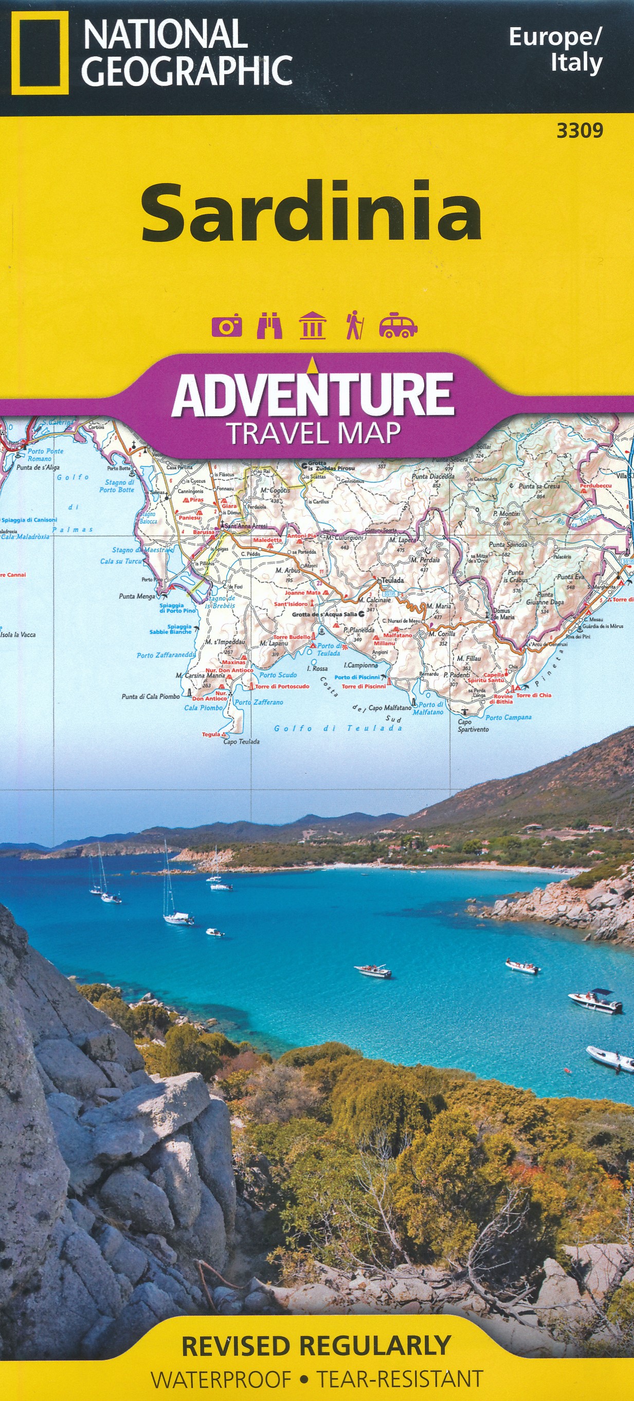
- Wegenkaart - landkaart 3309 Sardinia - Sardinië | National Geographic
- Wegenkaart van Sardinië, Italië met vermelding van veel bezienswaardigheden, nationale parken en attrakties. Watervast en scheurvast. Juist door deze vermeldingen onderscheidt de kaart zich van andere wegenkaarten. Sardinia Adventure Map is designed to meet the unique needs of adventure travelers—detailed, durable, and accurate. Sicily includes... Read more
De Zwerver
Netherlands
Netherlands
De Zwerver
Netherlands
Netherlands
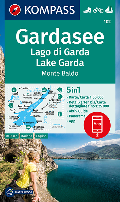
- Wandelkaart 102 Gardasee - Lago di Garda - Lake Garda | Kompass
- Lake Garda and the surrounding mountain on a waterproof and tear-resistant, contoured and GPS compatible map at 1:50,000 from Kompass with hiking and cycling trails, plus on the reverse a panorama map of the area, street plans of central Verona, Riva del Garda and Peschiera, and extensive English language to the area. Contours are at 40m... Read more
- Also available from:
- Stanfords, United Kingdom
Stanfords
United Kingdom
United Kingdom
- Lake Garda - Monte Baldo Kompass 102
- Lake Garda and the surrounding mountain on a waterproof and tear-resistant, contoured and GPS compatible map at 1:50,000 from Kompass with hiking and cycling trails, plus on the reverse a panorama map of the area, street plans of central Verona, Riva del Garda and Peschiera, and extensive English language to the area. Contours are at 40m... Read more
De Zwerver
Netherlands
Netherlands
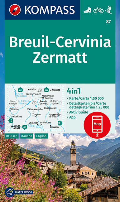
- Wandelkaart 87 Breuil-Cervinia - Zermatt | Kompass
- Breuil-Cervinia - Matterhorn - Zermatt area straddling the border of Italy and Switzerland on a GPS compatible hiking and recreational map at 1:50,000 from Kompass, printed on durable, waterproof and tear-resistant synthetic paper. Coverage extends north to Arolla and east to Monte Rosa, with Aosta in the south-western corner of the map, and... Read more
- Also available from:
- Stanfords, United Kingdom
Stanfords
United Kingdom
United Kingdom
- Breuil-Cervinia - Zermatt Kompass 87
- Breuil-Cervinia - Matterhorn - Zermatt area straddling the border of Italy and Switzerland on a GPS compatible hiking and recreational map at 1:50,000 from Kompass, printed on durable, waterproof and tear-resistant synthetic paper. Coverage extends north to Arolla and east to Monte Rosa, with Aosta in the south-western corner of the map, and... Read more
De Zwerver
Netherlands
2017
Netherlands
2017
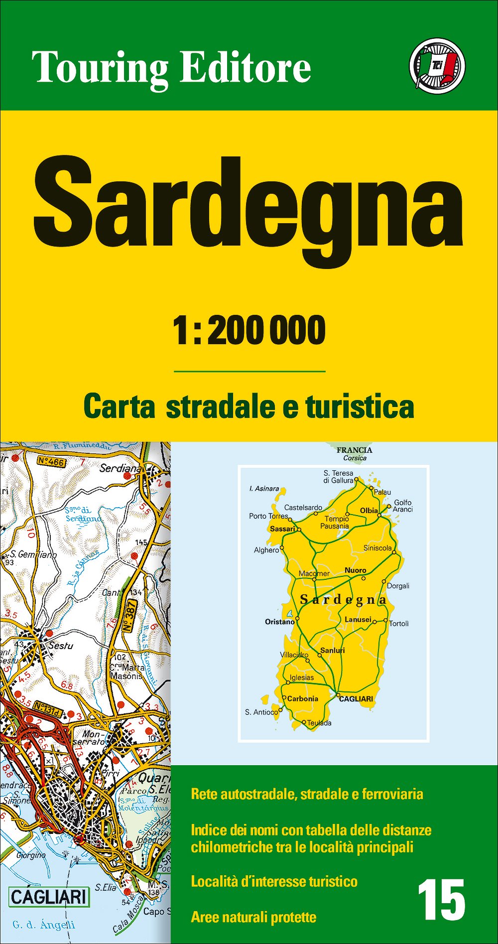
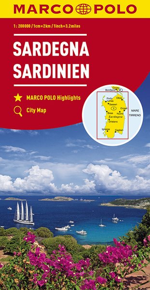
- Wegenkaart - landkaart 15 Sardinien - Sardinië | Marco Polo
- MARCO POLO Karte Italien 15. Sardinien 1:200 000 ab 9.99 EURO MARCO POLO Karten 1:200. 000. 7. Auflage Read more

De Zwerver
Netherlands
Netherlands
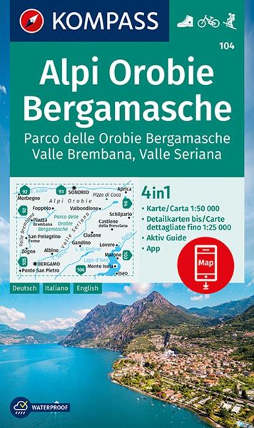
- Wandelkaart 104 Alpi Orobie Bergamasche, Parco delle Orobie Bergamasche, Valle Brembana, Valle Seriana | Kompass
- Alpi Orobie (Bergamasker Alps) between Bergamo and Sondrio including Lago d’Iseo, on a GPS compatible hiking and recreational map at 1:50,000 from Kompass, printed on durable, waterproof and tear-resistant synthetic paper.KOMPASS HIKING MAPS OF ITALY – TO SEE THE OTHER TITLES IN THIS SERIES PLEASE CLICK ON THE SERIES LINK. The series covers the... Read more
- Also available from:
- Stanfords, United Kingdom
Stanfords
United Kingdom
United Kingdom
- Alpi Orobie Bergamasche - Valle Brembana - Valle Seriana Kompass 104
- Alpi Orobie (Bergamasker Alps) between Bergamo and Sondrio including Lago d’Iseo, on a GPS compatible hiking and recreational map at 1:50,000 from Kompass, printed on durable, waterproof and tear-resistant synthetic paper.KOMPASS HIKING MAPS OF ITALY – TO SEE THE OTHER TITLES IN THIS SERIES PLEASE CLICK ON THE SERIES LINK. The series covers the... Read more
De Zwerver
Netherlands
Netherlands
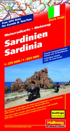
- Wegenkaart - landkaart Motomap Motorkaart Sardinië - Sardinie | Hallwag
- Motomap Sardinien 1 : 275 000 / 1 : 650 000 ab 16.95 EURO Die schönsten Strecken mit Sehenswürdigkeiten und Herbergen. GPS-Daten: Gratis Download der Motorradtouren Hallwag Motorradkarte Euro map Bikers´ Paradise. 2. Auflage, Laufzeit bis 2021 Read more

De Zwerver
Netherlands
Netherlands
- Wandelkaart 2458 Firenze - Siena - Chianti | Kompass
- Florence - Siena - Chianti area on a double-sided map at 1:50,000 from Kompass, printed on durable, waterproof and tear-resistant synthetic paper. Coverage includes Val di Pesa, Val d’Elsa, Monteriggioni, etc. Contours are at 40m intervals, with a 2-km UTM grid. Extensive overprint includes GEA - Grande Escursione Appenninica, Sentiero Italia,... Read more
- Also available from:
- Stanfords, United Kingdom
Stanfords
United Kingdom
United Kingdom
- Florence - Siena - Chianti Kompass 2458
- Florence - Siena - Chianti area on a double-sided map at 1:50,000 from Kompass, printed on durable, waterproof and tear-resistant synthetic paper. Coverage includes Val di Pesa, Val d’Elsa, Monteriggioni, etc. Contours are at 40m intervals, with a 2-km UTM grid. Extensive overprint includes GEA - Grande Escursione Appenninica, Sentiero Italia,... Read more
De Zwerver
Netherlands
Netherlands
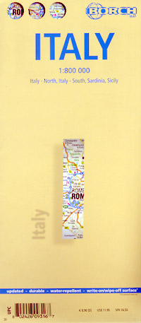
- Wegenkaart - landkaart Italië | Borch
- Italia / Italien / Italy 1 : 800 000 ab 9.9 EURO Italia Nord / Italia Sud / Sardegna / Sicília. Laminiert Borch Map. Neuauflage, Nachdruck. Read more
De Zwerver
Netherlands
Netherlands
Meer kaarten…