
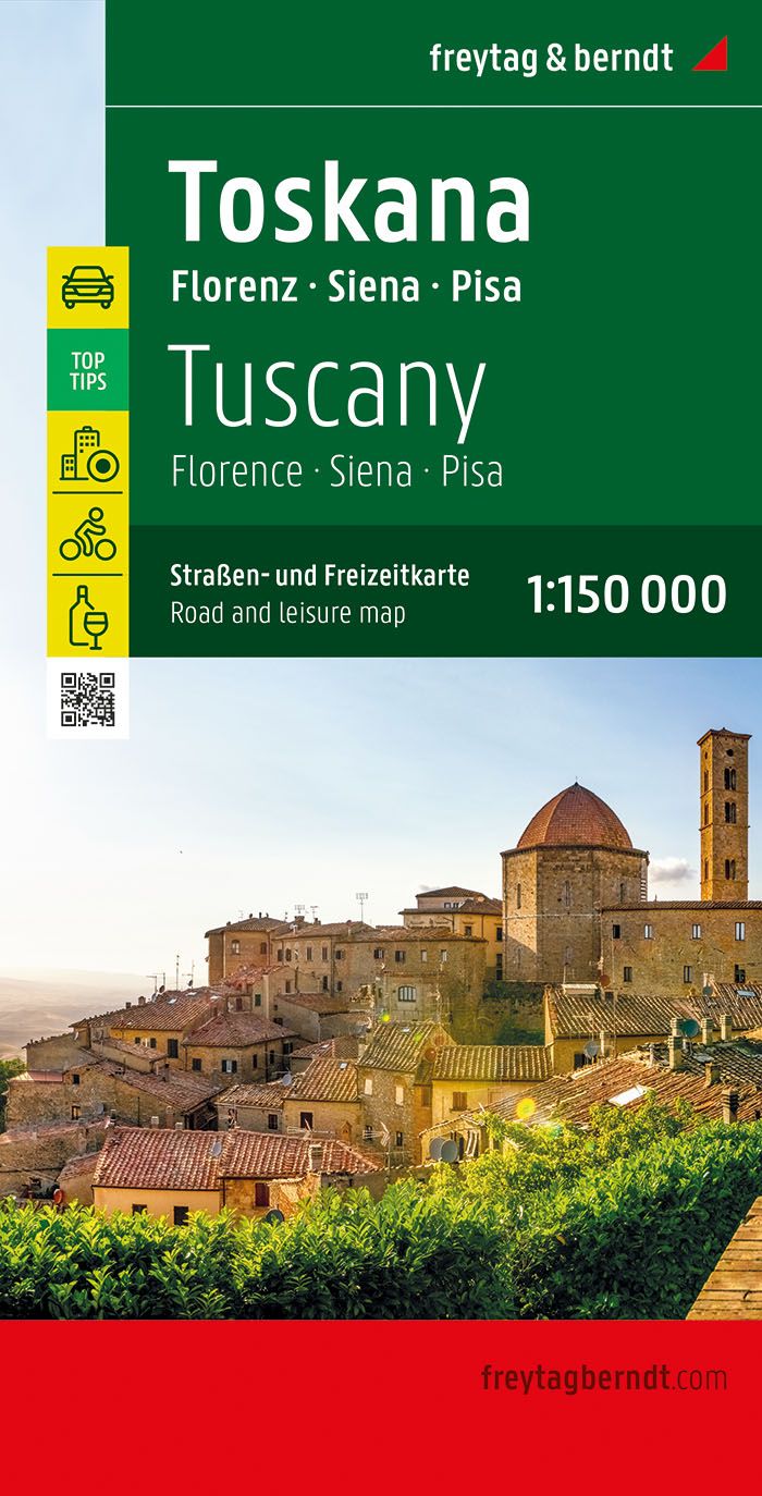
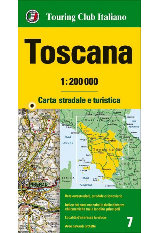
Toscana
Beschrijving
Famous and picturesque region between Florence (Firenze) and Sienna.
Paden in deze regio
Links
Feiten
Verslagen
Gidsen en kaarten
Overnachting
Organisaties
Reisorganisaties
GPS
Anders
Boeken
De Zwerver
Netherlands
2022
Netherlands
2022
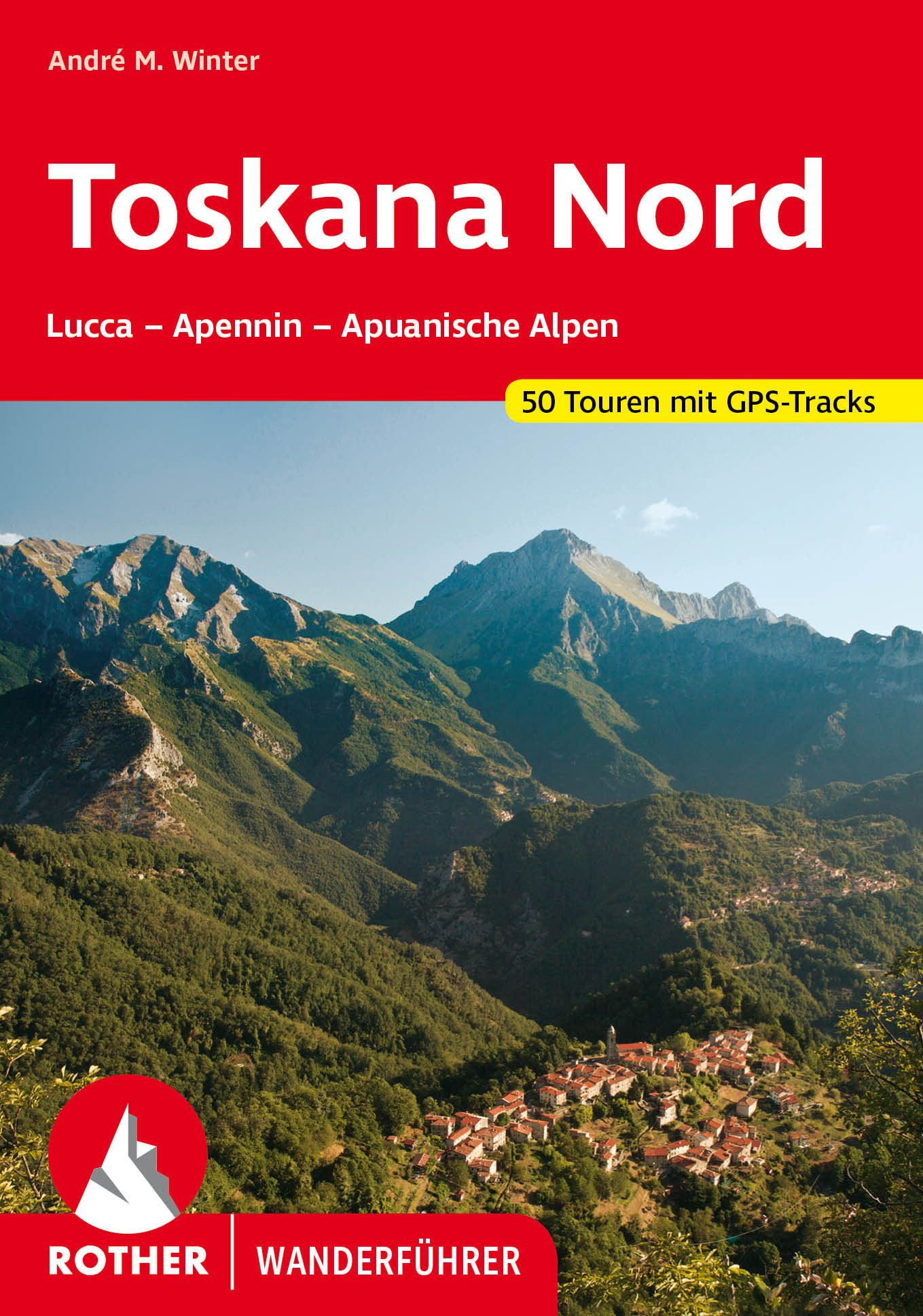
- Wandelgids 312 Toskana Nord (Toscane) | Rother Bergverlag
- Uitstekende wandelgids met een groot aantal dagtochten in dal en hooggebergte. Met praktische informatie en beperkt kaartmateriaal! Wandelingen in verschillende zwaarte weergegeven in rood/blauw/zwart. Non solo vino! Nicht nur für Weinkenner, auch für Wanderer und Bergsteiger bietet Italiens klassische Kunst- und Kulturlandschaft viele... Read more
De Zwerver
Netherlands
2023
Netherlands
2023
De Zwerver
Netherlands
2015
Netherlands
2015
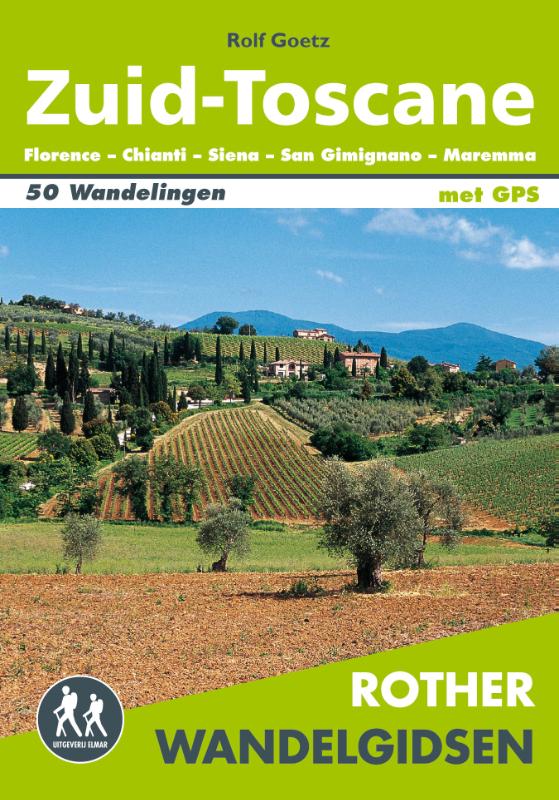
- Wandelgids Zuid-Toscane | Uitgeverij Elmar
- Florence - Chianti - Siena - San Gimignano - Maremma Deze wandelgids is een vertaling van de oorspronkelijke duitse versie. Het zijn klassiekers onder de wandelgidsen. Uitstekende wandelgids met een groot aantal dagtochten in dal en hooggebergte. Met praktische informatie en beperkt kaartmateriaal! Wandelingen in verschillende zwaarte... Read more
De Zwerver
Netherlands
2016
Netherlands
2016
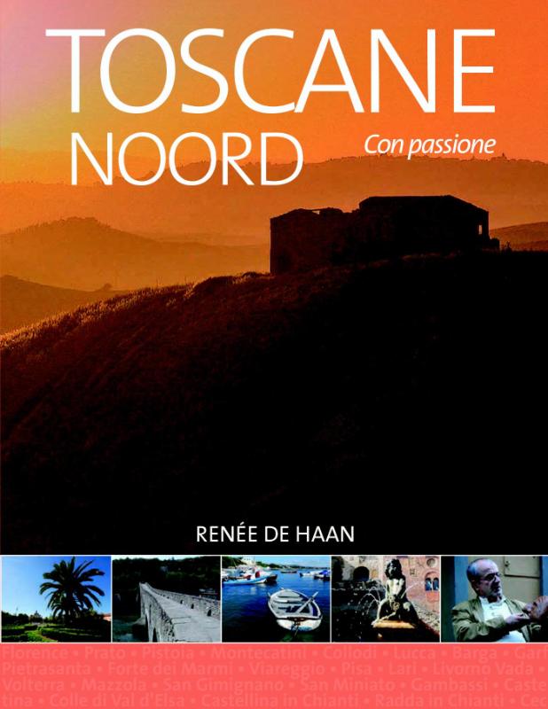
- Reisgids Toscane Noord | Edicola
- Toscane is de meest beschreven provincie van Italië dus lijkt elk nieuw boek hierover overbodig. Wij gaan bewijzen dat er juist heel veel niet bekend is. Vooral over de mensen die er wonen en hun bezieling. Toscane Noord gaat uit van Florence als bolwerk dat historisch gezien macht uitoefende over vele steden. Prato, Pistoia, Pisa en Lucca... Read more

De Zwerver
Netherlands
2022
Netherlands
2022
De Zwerver
Netherlands
2018
Netherlands
2018
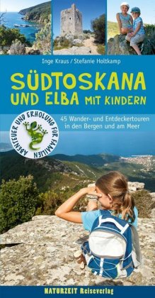
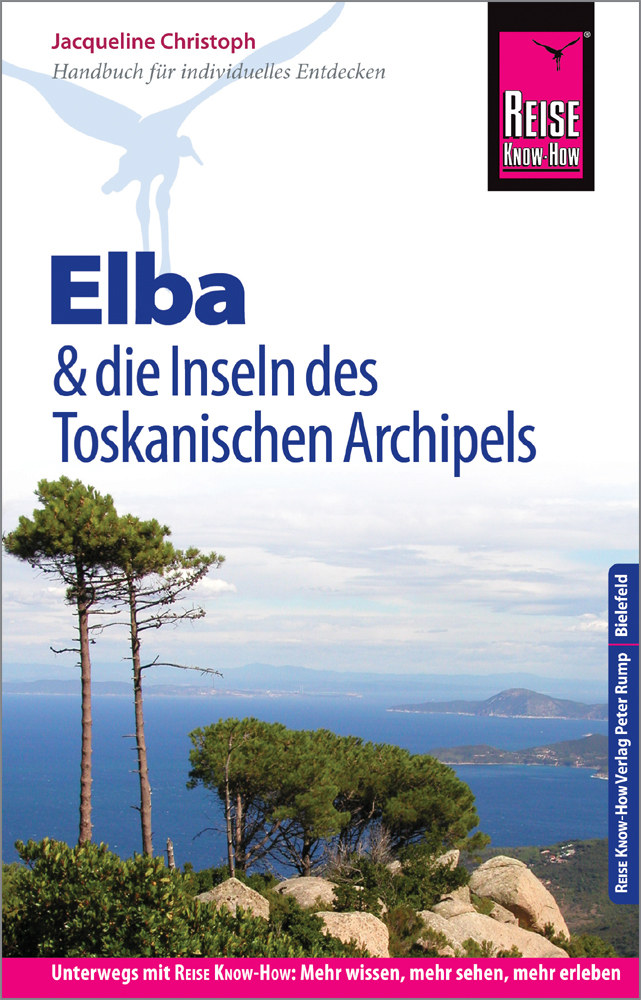
- Reisgids Südtoskana und Elba mit Kindern - Zuid Toscane | Naturzeit Reiseverlag
- Südtoskana und Elba mit Kindern ab 17.9 EURO Wanderführer Abenteuer und Erholung für Familien. 1. Auflage Read more
De Zwerver
Netherlands
2016
Netherlands
2016
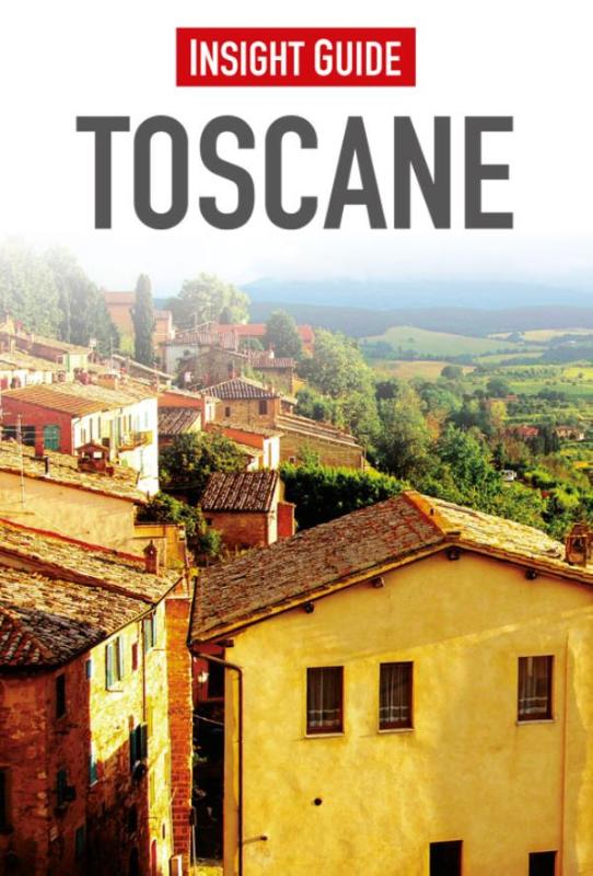
- Reisgids Insight Guide Toscane (Nederlands) | Uitgeverij Cambium
- Een rijk geillustreerde reisgids met diepgaande teksten: één van de beste reisgidsen die er bestaan. Eerste deel bestaat uit een beschrijving van de unieke aspecten van de regio, daarna een deel echte reisgids en als afsluiting een deel met praktische informatie. De uitstekende informatie wordt vergezeld van prachtige foto's en heldere kaarten.... Read more

De Zwerver
Netherlands
2012
Netherlands
2012
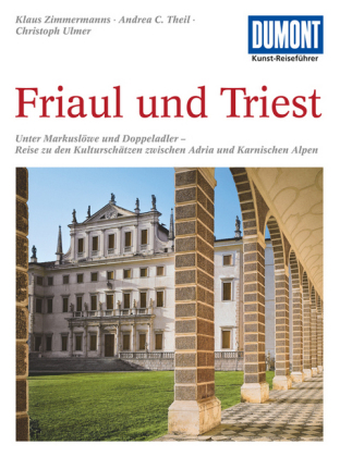
- Reisgids Kunstreiseführer Friaul und Triest | Dumont
- Das Thema dieses Kunst-Reiseführers ist die italienische Region Friaul- Julisch Venetien. Sie besteht aus zwei Provinzen, von denen das Friaul die weitaus größere ist. Julisch Venetien dagegen umfasst seit 1954 nur noch die Stadt Triest und einen kleinen Küstenstreifen bis Muggia. Wie ein Amphitheater liegt das Friaul im äußersten Nordosten... Read more
De Zwerver
Netherlands
2018
Netherlands
2018
Kaarten
De Zwerver
Netherlands
Netherlands
- Wegenkaart - landkaart Toscane Noord - Toskana nord | Freytag & Berndt
- FuB Toskana Nord 1 : 200 000 World Compact Series ab 10.9 EURO 1:200. 000 freytag & berndt Auto + Freizeitkarten. Neuauflage, Laufzeit bis 2015. Read more

De Zwerver
Netherlands
Netherlands
- Wandelkaart 2458 Firenze - Siena - Chianti | Kompass
- Florence - Siena - Chianti area on a double-sided map at 1:50,000 from Kompass, printed on durable, waterproof and tear-resistant synthetic paper. Coverage includes Val di Pesa, Val d’Elsa, Monteriggioni, etc. Contours are at 40m intervals, with a 2-km UTM grid. Extensive overprint includes GEA - Grande Escursione Appenninica, Sentiero Italia,... Read more
- Also available from:
- Stanfords, United Kingdom

Stanfords
United Kingdom
United Kingdom
- Florence - Siena - Chianti Kompass 2458
- Florence - Siena - Chianti area on a double-sided map at 1:50,000 from Kompass, printed on durable, waterproof and tear-resistant synthetic paper. Coverage includes Val di Pesa, Val d’Elsa, Monteriggioni, etc. Contours are at 40m intervals, with a 2-km UTM grid. Extensive overprint includes GEA - Grande Escursione Appenninica, Sentiero Italia,... Read more
- Also available from:
- Stanfords, United Kingdom

Stanfords
United Kingdom
2021
United Kingdom
2021
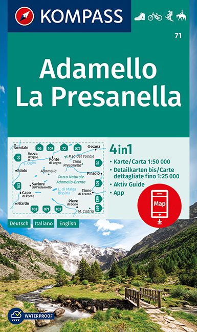
- Adamello - La Presanella Kompass 71
- Adamello - La Presanella area just north of Lake Garda on a GPS compatible hiking and recreational map at 1:50,000 from Kompass, printed on durable, waterproof and tear-resistant synthetic paper. KOMPASS HIKING MAPS OF ITALY: this title is part of an extensive series of walking maps from Kompass covering selected areas of Italy at mainly... Read more
De Zwerver
Netherlands
Netherlands
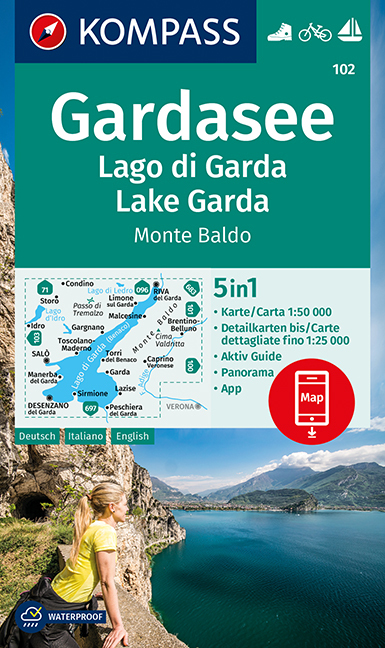
- Wandelkaart 102 Gardasee - Lago di Garda - Lake Garda | Kompass
- Lake Garda and the surrounding mountain on a waterproof and tear-resistant, contoured and GPS compatible map at 1:50,000 from Kompass with hiking and cycling trails, plus on the reverse a panorama map of the area, street plans of central Verona, Riva del Garda and Peschiera, and extensive English language to the area. Contours are at 40m... Read more
- Also available from:
- Stanfords, United Kingdom
Stanfords
United Kingdom
United Kingdom
- Lake Garda - Monte Baldo Kompass 102
- Lake Garda and the surrounding mountain on a waterproof and tear-resistant, contoured and GPS compatible map at 1:50,000 from Kompass with hiking and cycling trails, plus on the reverse a panorama map of the area, street plans of central Verona, Riva del Garda and Peschiera, and extensive English language to the area. Contours are at 40m... Read more
De Zwerver
Netherlands
2022
Netherlands
2022
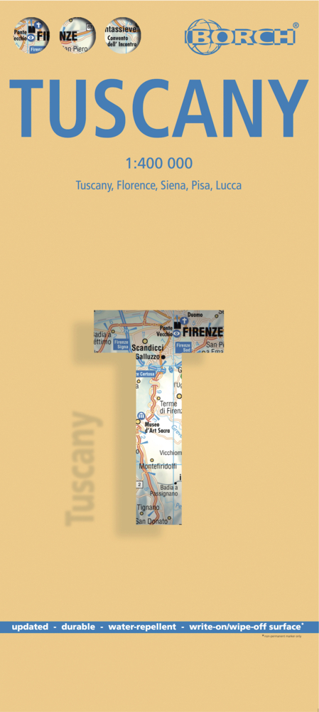
- Wegenkaart - landkaart Toscane | Borch
- Toskana / Toscana 1 : 400 000. Road Map + City Maps ab 9.9 EURO Toscana, Firenze, Siena, Pisa, Lucca Borch Map. 11. Auflage Read more
De Zwerver
Netherlands
2023
Netherlands
2023
- Also available from:
- Stanfords, United Kingdom

Stanfords
United Kingdom
United Kingdom
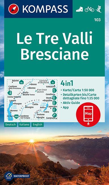
- Le Tre Valli Bresciane Kompass 103
- Map No. 103, Le Tre Valli Bresciane, from Kompass in a series of walking maps of selected areas of Italy at 1:50,000, with hiking routes on a topographic base, various types of accommodation, recreational facilities, places of interest, etc. Kompass are Europe’s largest publishers of walking maps, with extensive coverage of hiking areas in... Read more
- Also available from:
- Stanfords, United Kingdom

Stanfords
United Kingdom
United Kingdom
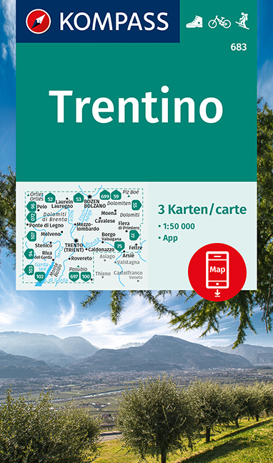
- Trentino 3-Map Set Kompass 683
- Trentino region of Italy on a set of three double-sided, GPS compatible and contoured maps at 1:50,000 from Kompass, with hiking trails, cycling, ski and horse riding routes, various recreational facilities, etc. The set provides very wide coverage of this popular part of Italy, extending from north of Bolzano southwards to include the northern... Read more
De Zwerver
Netherlands
Netherlands
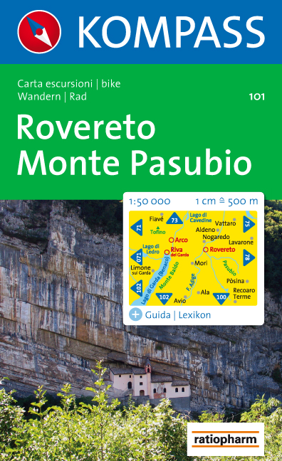
- Wandelkaart 101 Rovereto - Monte Pasubio | Kompass
- Map No. 101, Rovereto - Monte Pasubio, from Kompass in a series of walking maps of selected areas of Italy at 1:50,000, with hiking routes on a topographic base, various types of accommodation, recreational facilities, places of interest, etc. Kompass are Europe Read more
- Also available from:
- Stanfords, United Kingdom

Stanfords
United Kingdom
United Kingdom
- Rovereto - Monte Pasubio Kompass 101
- Map No. 101, Rovereto - Monte Pasubio, from Kompass in a series of walking maps of selected areas of Italy at 1:50,000, with hiking routes on a topographic base, various types of accommodation, recreational facilities, places of interest, etc. Kompass are Europe’s largest publishers of walking maps, with extensive coverage of hiking areas in... Read more
De Zwerver
Netherlands
Netherlands
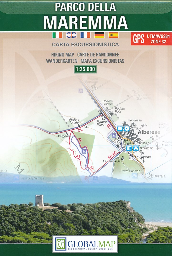
- Wandelkaart Parco della Maremma | Global Map
- Parco della Maremma on the southern coast of Tuscany on a detailed, GPS compatible map at 1:25,000 from Litografia Artistica Cartografica. The map shows the boundary of the protected area and highlights various places of interest, including the visitors Read more
De Zwerver
Netherlands
Netherlands
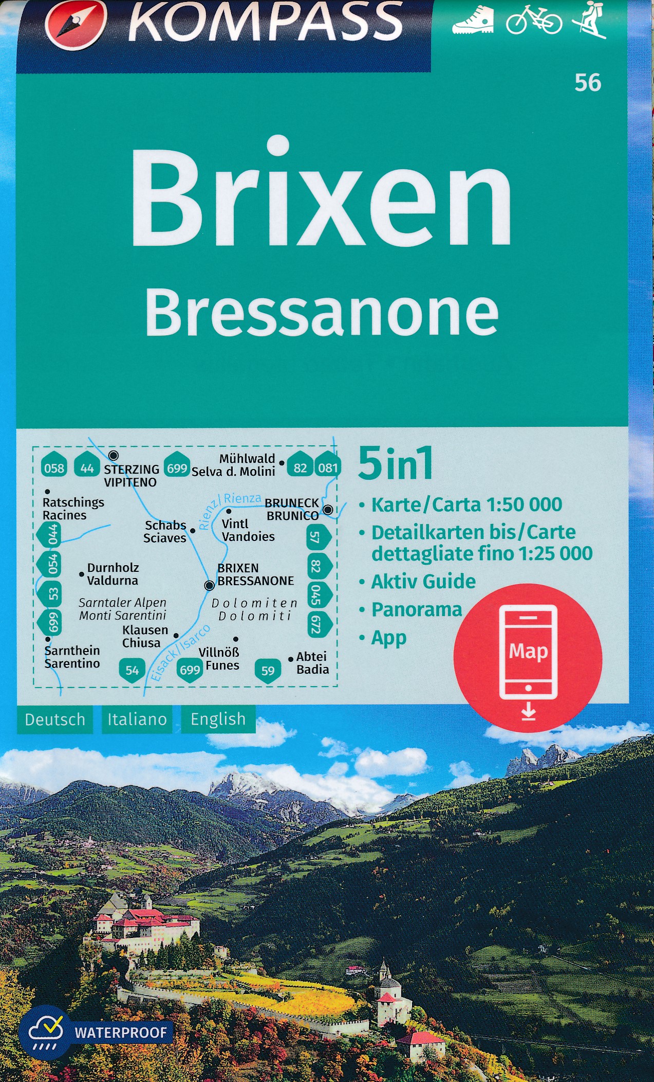
- Wandelkaart 56 Brixen - Bressanone | Kompass
- Bressanone/Brixen and its environs in the Dolomites on a GPS compatible hiking and recreational map at 1:50,000 from Kompass, printed on durable, waterproof and tear-resistant synthetic paper. KOMPASS HIKING MAPS OF ITALY: this title is part of an extensive series of walking maps from Kompass covering selected areas of Italy at mainly... Read more
- Also available from:
- Stanfords, United Kingdom

Stanfords
United Kingdom
United Kingdom
- Bressanone / Brixen Kompass 56
- Bressanone/Brixen and its environs in the Dolomites on a GPS compatible hiking and recreational map at 1:50,000 from Kompass, printed on durable, waterproof and tear-resistant synthetic paper. KOMPASS HIKING MAPS OF ITALY: this title is part of an extensive series of walking maps from Kompass covering selected areas of Italy at mainly... Read more