
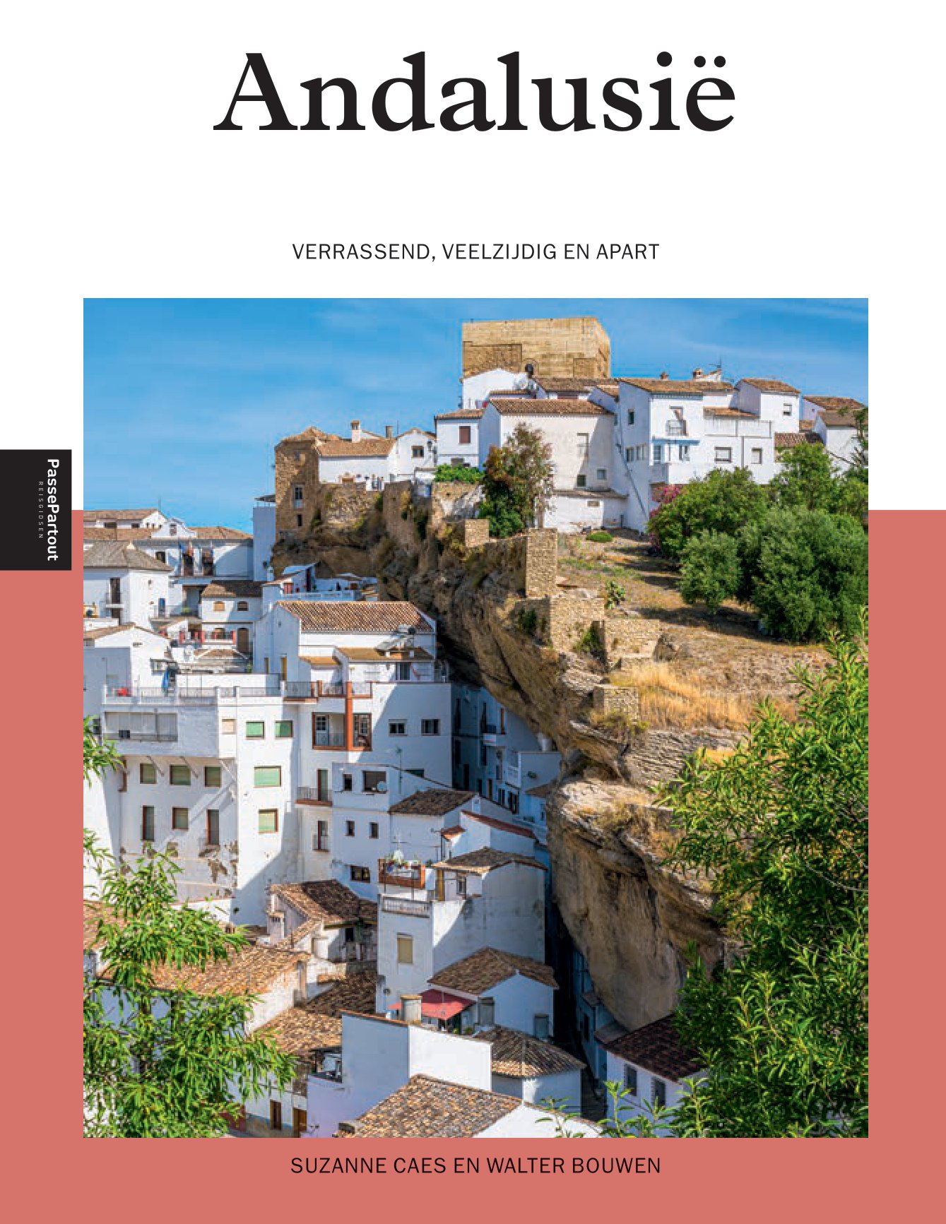
Andalucía
Beschrijving
Kaart

Paden in deze regio
- GR100 Ruta de la PlataGPX
- GR140 Puerto de la Ragua - Cabo de GataGPX
- GR142 Sendero de la AlpujarraGPX
- GR143 Sendero de Almeria
- GR144 Ruta de la TrashumanciaGPX
- GR146 Ruta Monte y Olivo
- GR147 Sierra ProfundaGPX
- GR148 Tahal - Abrucena
- GR240 Sendero SulayrGPX
- GR39 Cañada de la MestaGPX
- GR40 Cañada Real SorianaGPX
- GR41 Cordel de las BuervasGPX
- GR42 Cañada Real Leonesa OccidentalGPX
- GR43 Cordel de la CampiñaGPX
- GR44 Sender de SaragossaGPX
- GR47 Camino de las MinasGPX
- GR48 Sierra MorenaGPX
- GR7 Andorra - TarifaGPX
- GR92 Sender MediterraneoGPX
Links
Feiten
Verslagen
Gidsen en kaarten
Overnachting
Organisaties
Reisorganisaties
GPS
Anders
Boeken
De Zwerver
Netherlands
2024
Netherlands
2024

De Zwerver
Netherlands
2019
Netherlands
2019
- Reisgids Marco Polo NL Andalusië | 62Damrak
- Eindelijk zijn ze er weer: de Nederlandse versie van de alom bekende en gewaardeerde serie van Marco Polo. Het is een handige en overzichtelijke, kleine reisgids voor een goede kennismaking met Andalusië. Globale uitklapkaart achterin, makkelijk binnenzakformaat. Toch best veel aandacht voor de toeristische hoogtepunten en leuke tips van en... Read more
De Zwerver
Netherlands
2017
Netherlands
2017
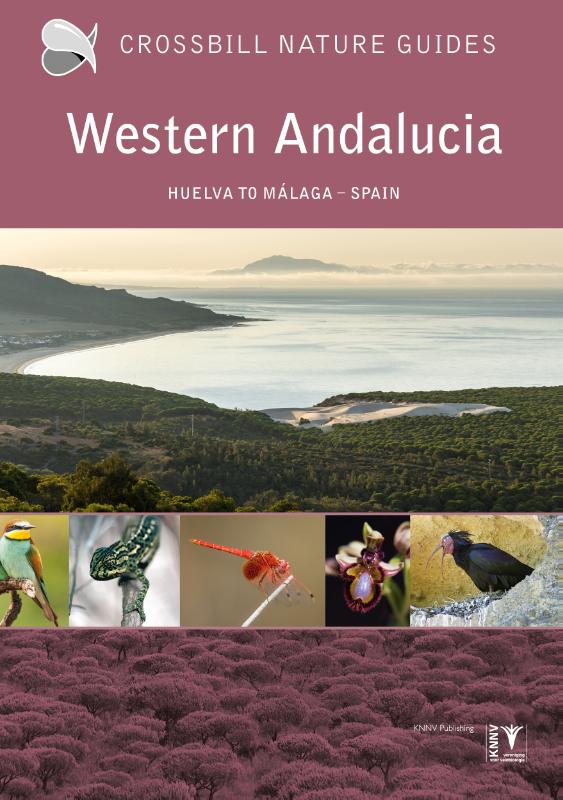
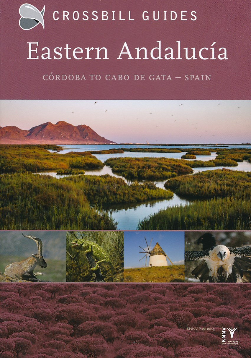
- Natuurgids - Reisgids Crossbill Guides Eastern Andalucia - Andalusie oost | KNNV Uitgeverij
- Een prachtige reisgids over het oosten van Andalusië. Rijk geïllustreerd met foto's en kaarten en veel nuttige informatie voor de natuurliefhebber. Onmisbaar voor een unieke natuurvakantie in pure wildernis. Beschrijft de volgende gebieden: Cordoba, Jaen, Granada en Almeria. de enige reisgids die flora en fauna, en vogels beschrijft... Read more
De Zwerver
Netherlands
2012
Netherlands
2012
- Reisgids Kunstreiseführer Andalusien | Dumont
- Andalusien, Spaniens südlichste und zweitgrößte Region, beeindruckt durch die Spuren ihrer wechselseitigen Geschichte. Die andalusische Kunst ist durch den großen Einfluss der islamischen Kultur geprägt. Im Laufe ihrer rund 800 Jahre langen Herrschaft verleihen die Mauren in der Architektur ihrer Überlegenheit im christlichen Europa einen... Read more
De Zwerver
Netherlands
2018
Netherlands
2018
- Reisgids Andalucia - Costa del Sol | Berlitz
- Pocket Guide Berlitz is een handzaam engelstalige reisgids met bezienswaardigheden, kaartjes, hotels en restaurants. Past makkelijk in de binnenzak. Discover the rich Moorish heritage of the great cities of Granada, Sevilla and Cordoba then head to Andalucia’s famous white towns and their maze of cobbled streets. And when all that culture gets... Read more

De Zwerver
Netherlands
2017
Netherlands
2017
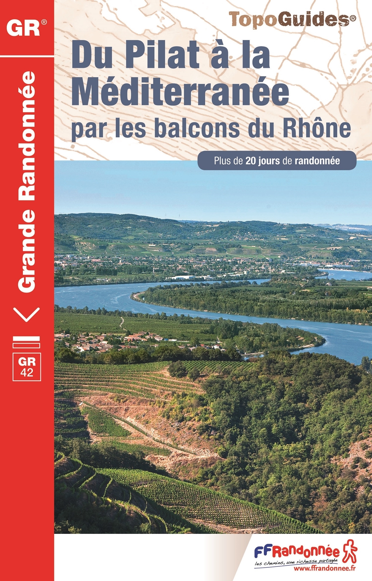
- Wandelgids 411 Du Pilat à la Méditerranée GR42 | FFRP
- Fout lopen wordt op deze manier wel erg moeilijk. Met symbolen is weergegeven welke voorzieningen (openbaar vervoer / winkels / overnachtingen) er zijn langs of bij de route. De gids bevat een lijst met overnachtingsadressen inclusief telefoonnummers, soms aangevuld met websites/mailadressen. Alle gidsen bevatten een door ons toegevoegde... Read more
- Also available from:
- Stanfords, United Kingdom
Stanfords
United Kingdom
2017
United Kingdom
2017
- Du Pilat à la Méditerranée par les balcons du Rhône - GR 42
- Going wrong this way becomes very difficult. Symbols indicate which facilities (public transport / shops / overnight stays) there are along or near the route. The guide contains a list of overnight addresses including telephone numbers, sometimes supplemented with websites / email addresses. All guides contain an extensive French.The route... Read more
De Zwerver
Netherlands
2017
Netherlands
2017
De Zwerver
Netherlands
2022
Netherlands
2022
De Zwerver
Netherlands
2023
Netherlands
2023
Kaarten

De Zwerver
Netherlands
Netherlands
- Pelgrimsroute (kaart) - Wandelkaart Camino de Santiago in Spanje | CNIG - Instituto Geográfico Nacional
- All roads leading to Santiago de Compostela in the Iberian Peninsula are represented on this Caminos de Santiago / The Way of St. James Map. Routes highlighted on a physical map of the Iberian Peninsula at 1:1,250,000 from IGN/CNIG, Spain civilian topographic survey organization. The base map with altitude colouring and relief shading provides... Read more
- Also available from:
- Stanfords, United Kingdom

Stanfords
United Kingdom
United Kingdom
- Caminos de Santiago / Ways of St. James on the Iberian Peninsula CNIG Overview Map
- All roads leading to Santiago de Compostela in the Iberian Peninsula are represented on this Caminos de Santiago / The Way of St. James Map. Routes highlighted on a physical map of the Iberian Peninsula at 1:1,250,000 from IGN/CNIG, Spain civilian topographic survey organization. The base map with altitude colouring and relief shading provides... Read more
De Zwerver
Netherlands
Netherlands
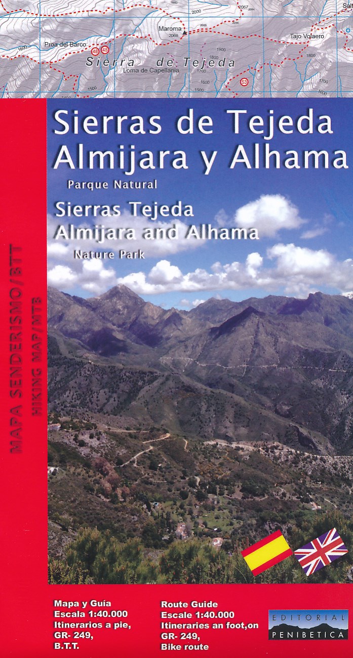
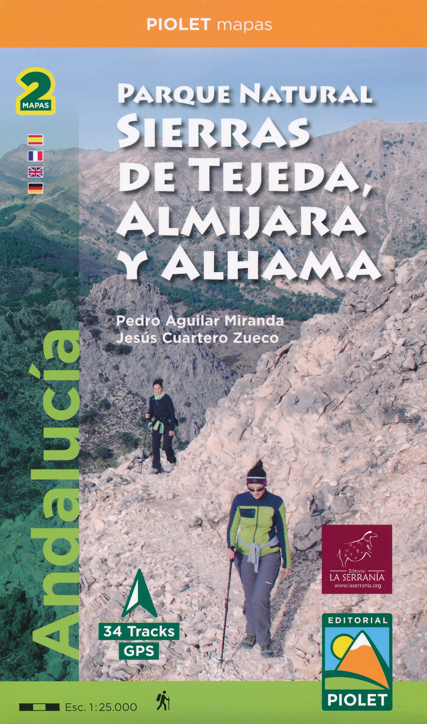
- Wandelkaart Sierras Tejeda, Almijara & Alhama | Editorial Penibetica
- Een uitgebreide wandelkaart van het nationale park Seirra Tejeda en de bijbehorende Sierras Almijara en Alhama, met een Engelstalig gidsje met een aantal kort beschreven wandelroutes en MTB-routes. Op de kaart worden hoogtelijnen, plaatselijke voorzieningen, wandelroutes en andere outdooractiviteiten meegenomen. GPS compatible. Read more
De Zwerver
Netherlands
Netherlands
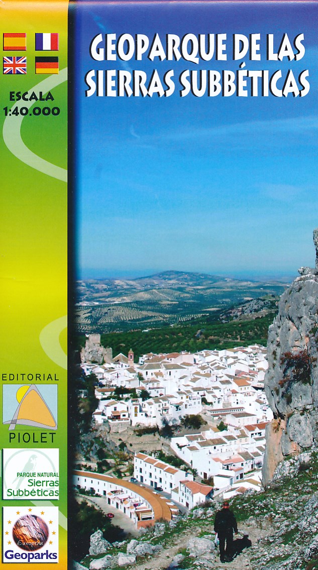
- Wandelkaart Geoparque de las Sierras Subbeticas | Editorial Piolet
- Uitstekende wandelkaart van een klein gebied. Met ingetekende wandelroutes en hoogtelijnen. Excellent 1:20.000 scale map of the area of Geoparque de las Sierras Subbeticas. Includes local signaling pathways, GR, PR, Nordik Walking tour and most characteristic areas of diving. Equidistance between contours 10 m. Read more
- Also available from:
- Stanfords, United Kingdom

Stanfords
United Kingdom
United Kingdom
- Geoparque de las Sierras Subbeticas Editorial Piolet Hiking Map
- Geoparque de las Sierras Subbeticas in Andalucía, roughly half Cordoba, on a very clear, contoured and GPS compatible map at 1:40,000 from Editorial Piolet highlighting local walking trails including 10 recommended routes, long-distance hiking routes, Via Verde cycling trails, and various places of interest. Hiking maps in the Editorial Piolet... Read more
De Zwerver
Netherlands
Netherlands
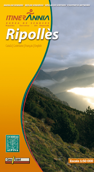
- Wandelkaart Ripolles | Editorial Alpina
- Zeer gedetailleerde wandelkaart van een klein deel van de Spaanse Pyreneeen. Met ingetekende wandelroutes en andere informatie. Uitstekende kaart. Met symbolen voor campings, hutten. Op de topografische wandelkaart worden o.a. berghutten, campings aangeduid en hoogtelijnen, ingetekende wandelroutes en de GR paden (doorgaande... Read more
- Also available from:
- Stanfords, United Kingdom

Stanfords
United Kingdom
United Kingdom
- Ripollès Editorial Alpina
- Ripollès in an extensive and very popular series of walking maps from Editorial Alpina covering the Pyrenees, Catalonia and other selected hiking areas in Spain, including Picos de Europa, Sierra Nevada and parts of Andalucía, Majorca, etc. Scales vary from 1:50,000 to 1:10,000, with the majority of the titles at 1:25,000. The maps have... Read more
De Zwerver
Netherlands
Netherlands
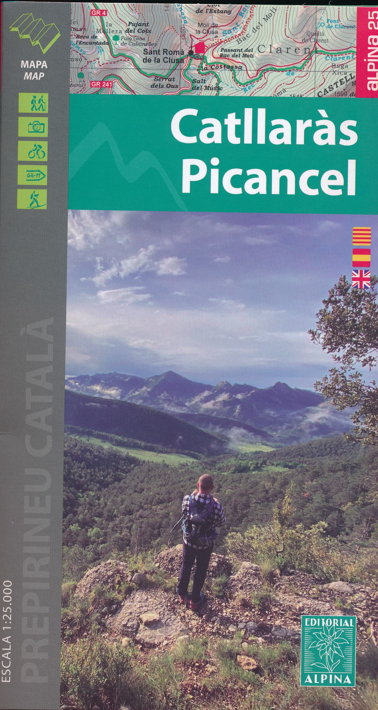
- Wandelkaart 39 Catllaràs Picancel | Editorial Alpina
- Catllaràs Picancel in an extensive and very popular series of walking maps from Editorial Alpina covering the Pyrenees, Catalonia and other selected hiking areas in Spain, including Picos de Europa, Sierra Nevada and parts of Andalucía, Majorca, etc. Scales vary from 1:50,000 to 1:10,000, with the majority of the titles at 1:25,000. The maps... Read more
- Also available from:
- Stanfords, United Kingdom

Stanfords
United Kingdom
United Kingdom
- Catllaràs - Picancel Editorial Alpina
- Catllaràs Picancel in an extensive and very popular series of walking maps from Editorial Alpina covering the Pyrenees, Catalonia and other selected hiking areas in Spain, including Picos de Europa, Sierra Nevada and parts of Andalucía, Majorca, etc. Scales vary from 1:50,000 to 1:10,000, with the majority of the titles at 1:25,000. The maps... Read more
De Zwerver
Netherlands
Netherlands
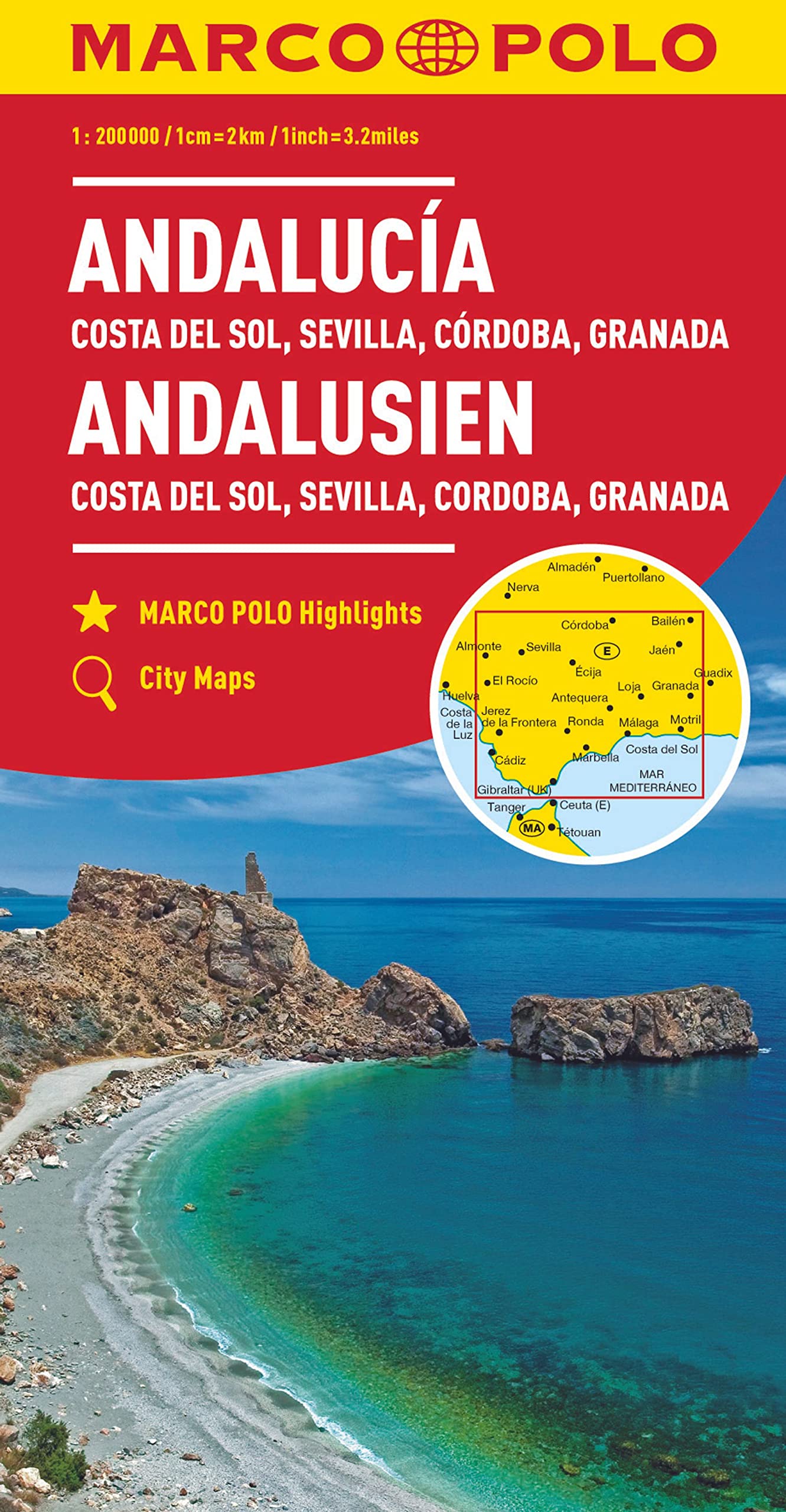
- Wegenkaart - landkaart Andalusien- Costa del Sol - Seville - Cordoba - Granada (Andalusië) | Marco Polo
- Es ist gut zu wissen, wo sich im Urlaubsgebiet die bedeutenden kulturellen und landschaftlichen Sehenswürdigkeiten befinden. Das präzise und klar lesbare Kartenbild der MARCO POLO Karte führt Sie nicht nur zu diesen wirklich interessanten Stellen, sondern zeigt Ihnen außerdem noch viele andere wissenswerte Details. Dank des großen Maßstabs... Read more
De Zwerver
Netherlands
Netherlands
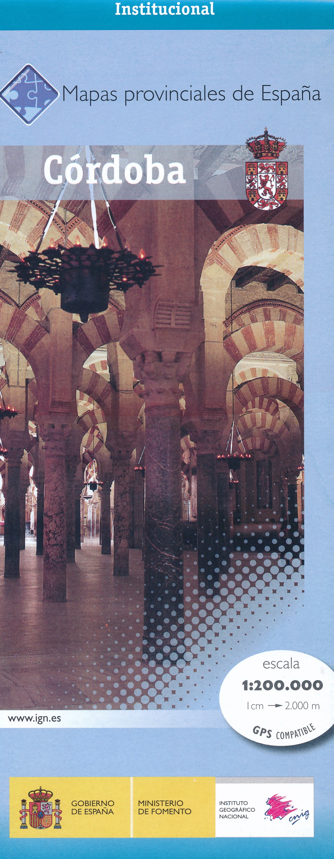
- Wegenkaart - landkaart Mapa Provincial Cordoba | CNIG - Instituto Geográfico Nacional
- Contoured, GPS-compatible, indexed road map at 1:200,000 from CNIG - Spain’s civilian survey organization, with exceptionally informative presentation of the landscape and highlighting for facilities and places of interest including campsites and paradors.Maps in CNIG’s 200K Provincial Series provide an excellent picture the topography through... Read more
- Also available from:
- Stanfords, United Kingdom

Stanfords
United Kingdom
United Kingdom
- Córdoba Province 200K CNIG Map No. 16
- Contoured, GPS-compatible, indexed road map at 1:200,000 from CNIG - Spain’s civilian survey organization, with exceptionally informative presentation of the landscape and highlighting for facilities and places of interest including campsites and paradors.Maps in CNIG’s 200K Provincial Series provide an excellent picture the topography through... Read more
- Also available from:
- Stanfords, United Kingdom

Stanfords
United Kingdom
United Kingdom
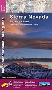
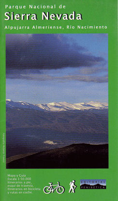
- Sierra Nevada - the Alpujarra - Marquesado del Zenete Editorial Penibetica Map and Guide
- Sierra Nevada in Spain on a contoured, GPS compatible map at 1:40,000 from Editorial Penibetica, double-sided to provide coverage of its main trekking area on one map. Accompanying English language booklet provides descriptions of over 40 walks, details of campsites and huts, etc.The map covers Alpujarras and Marquesado del Zenete, the western... Read more
De Zwerver
Netherlands
Netherlands
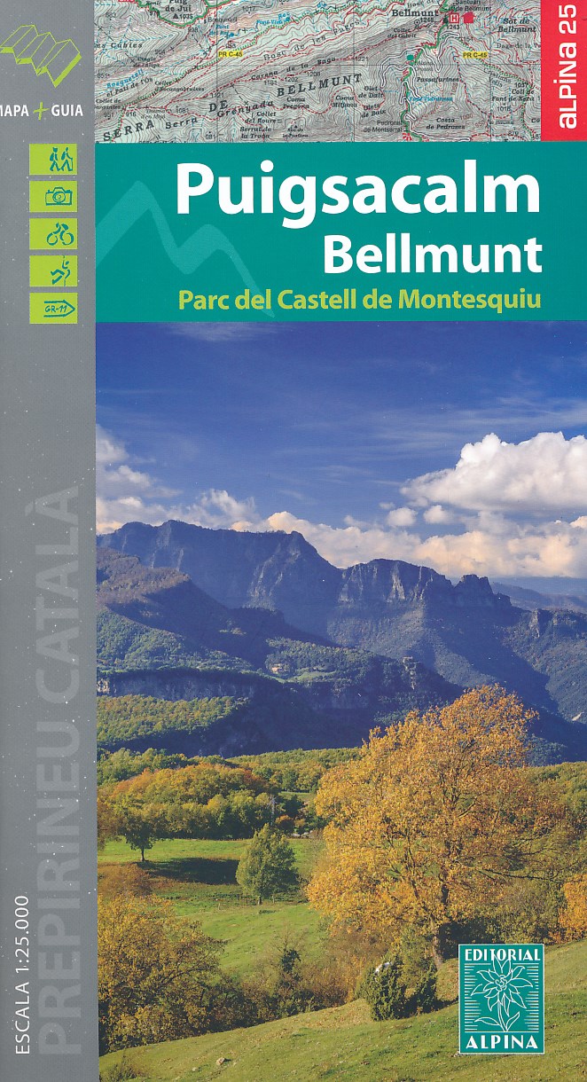
- Wandelkaart 45 Puigsacalm Bellmunt | Editorial Alpina
- Zeer gedetailleerde wandelkaart van een klein deel van de Spaanse Pyreneeen. Met ingetekende wandelroutes en andere informatie. Uitstekende kaart. Met symbolen voor campings, hutten. Op de topografische wandelkaart worden o.a. berghutten, campings aangeduid en hoogtelijnen, ingetekende wandelroutes en de GR paden (doorgaande... Read more
- Also available from:
- Stanfords, United Kingdom

Stanfords
United Kingdom
United Kingdom
- Puigsacalm - Bellmunt Editorial Alpina
- Puigsacalm - Bellmunt in an extensive and very popular series of walking maps from Editorial Alpina covering the Pyrenees, Catalonia and other selected hiking areas in Spain, including Picos de Europa, Sierra Nevada and parts of Andalucía, Majorca, etc. Scales vary from 1:50,000 to 1:10,000, with the majority of the titles at 1:25,000. The maps... Read more
De Zwerver
Netherlands
Netherlands
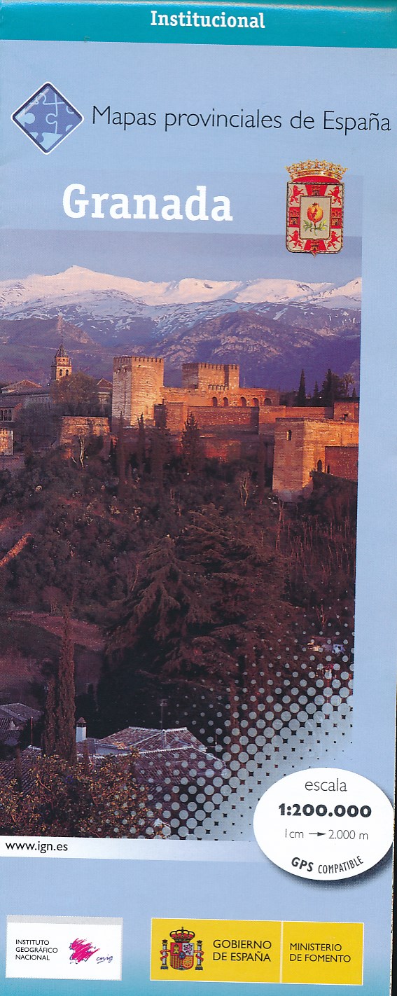
- Wegenkaart - landkaart Mapa Provincial Granada | CNIG - Instituto Geográfico Nacional
- Granada Province in a series of contoured, GPS-compatible, indexed road maps at 1:200,000 from the IGN - CNIG, Spain Read more
- Also available from:
- Stanfords, United Kingdom

Stanfords
United Kingdom
United Kingdom
- Granada Province 200K CNIG Map No. 19
- Contoured, GPS-compatible, indexed road map at 1:200,000 from CNIG - Spain’s civilian survey organization, with exceptionally informative presentation of the landscape and highlighting for facilities and places of interest including campsites and paradors.Maps in CNIG’s 200K Provincial Series provide an excellent picture the topography through... Read more
De Zwerver
Netherlands
Netherlands
- Wandelkaart Parque Natural Sierras de Tejeda, Almijara y Alhama | Editorial Piolet
- Sierras de Tejeda, Almijara y Alhama, popular hiking area east of Vélez-Málaga, at 1:40,000 on a detailed, GPS compatible topographic map from the Instituto de Cartografia de Andalucía, the region’s official survey organization, printed on light, waterproof and tear-resistant synthetic paper. Coverage along the coast extends from Velez-Malaga... Read more
- Also available from:
- Stanfords, United Kingdom

Stanfords
United Kingdom
United Kingdom
- Sierras de Tejeda, Almijara y Alhama Editorial Piolet 2-Map Set
- Sierras de Tejeda, Almijara y Alhama, popular hiking area east of Vélez-Málaga, at 1:40,000 on a detailed, GPS compatible topographic map from the Instituto de Cartografia de Andalucía, the region’s official survey organization, printed on light, waterproof and tear-resistant synthetic paper. Coverage along the coast extends from Velez-Malaga... Read more
De Zwerver
Netherlands
Netherlands
- Wandelkaart Sierra Nevada National Park (East) Alpujarra Almeriense, Rio Nacimiento | Editorial Penibetica
- Wandelkaart oostelijk deel van de Sierra Nevada, Alpujarras 1:50.000 met wandelroutes Read more