
Valencia
Beschrijving
Kaart

Paden in deze regio
Links
Feiten
Verslagen
Gidsen en kaarten
Overnachting
Organisaties
Reisorganisaties
GPS
Anders
Boeken
De Zwerver
Netherlands
2015
Netherlands
2015
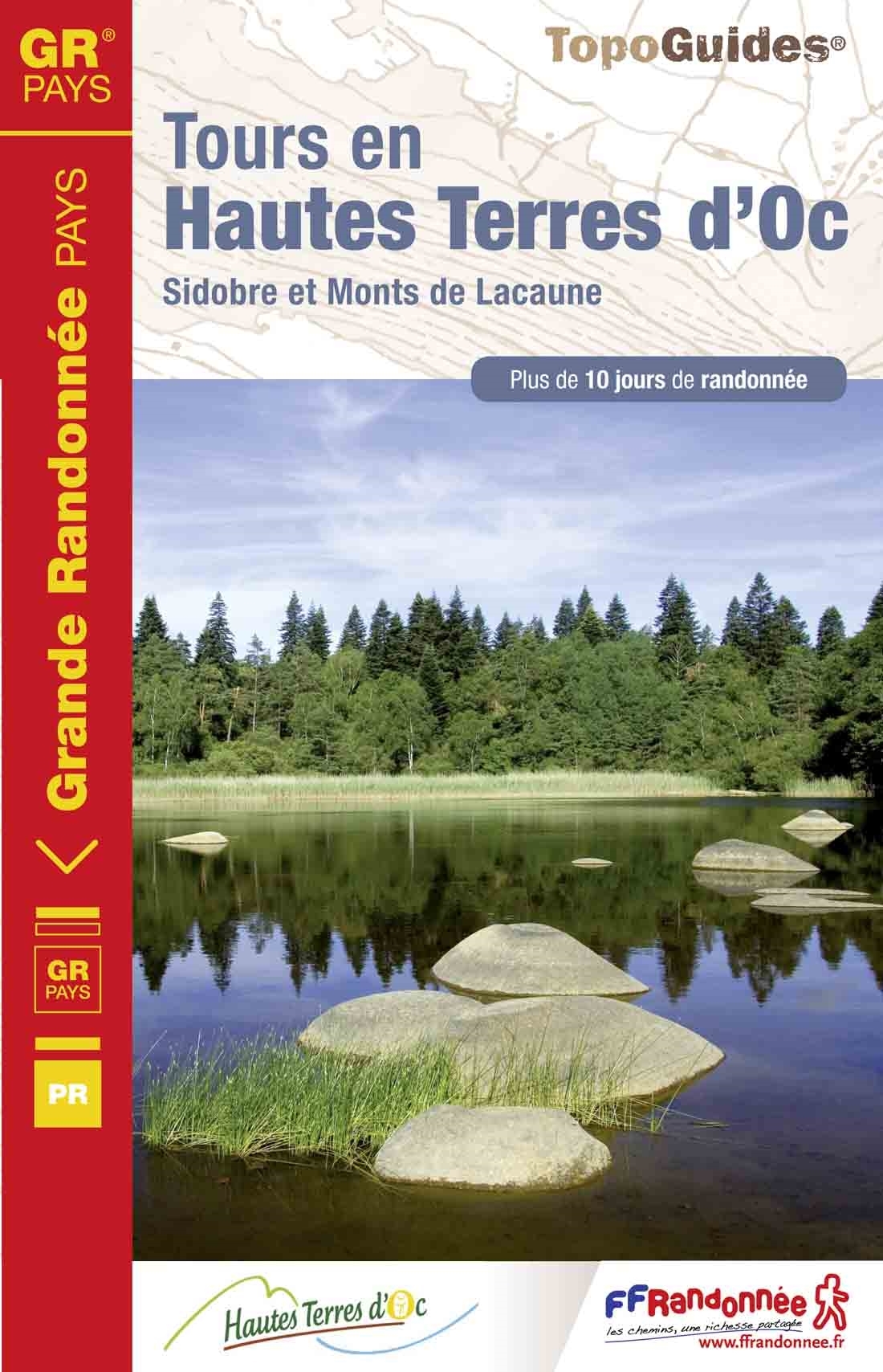
- Wandelgids 811 Tours en Hautes Terres d'Oc | FFRP
- Uitstekende routegids met gedetailleerde kaarten en een routebeschrijving. Fout lopen wordt op deze manier wel erg moeilijk. Met symbolen is weergegeven welke voorzieningen (openbaar vervoer / winkels / overnachtingen) er zijn langs of bij de route. Een nadeel is dat de daadwerkelijke adressen dan weer niet altijd genoemd worden. Alle gidsen... Read more
- Also available from:
- Stanfords, United Kingdom

Stanfords
United Kingdom
2015
United Kingdom
2015
- GR de Pays: Tours en Hautes Terres d`Oc FFRP Topo-guide No. 811
- Tours en Hautes Terres d`Oc, FFRP topoguide Ref. No. 811, covering a 230km circular route in the Parc Naturel Régional du Haut-Languedoc, with additional descriptions of 14 day walks in the region. Current edition of this title was published in July 2015.ABOUT THE FFRP (Fédération française de la randonnée pédestre) TOPOGUIDES: published in a... Read more


De Zwerver
Netherlands
2023
Netherlands
2023

De Zwerver
Netherlands
2015
Netherlands
2015
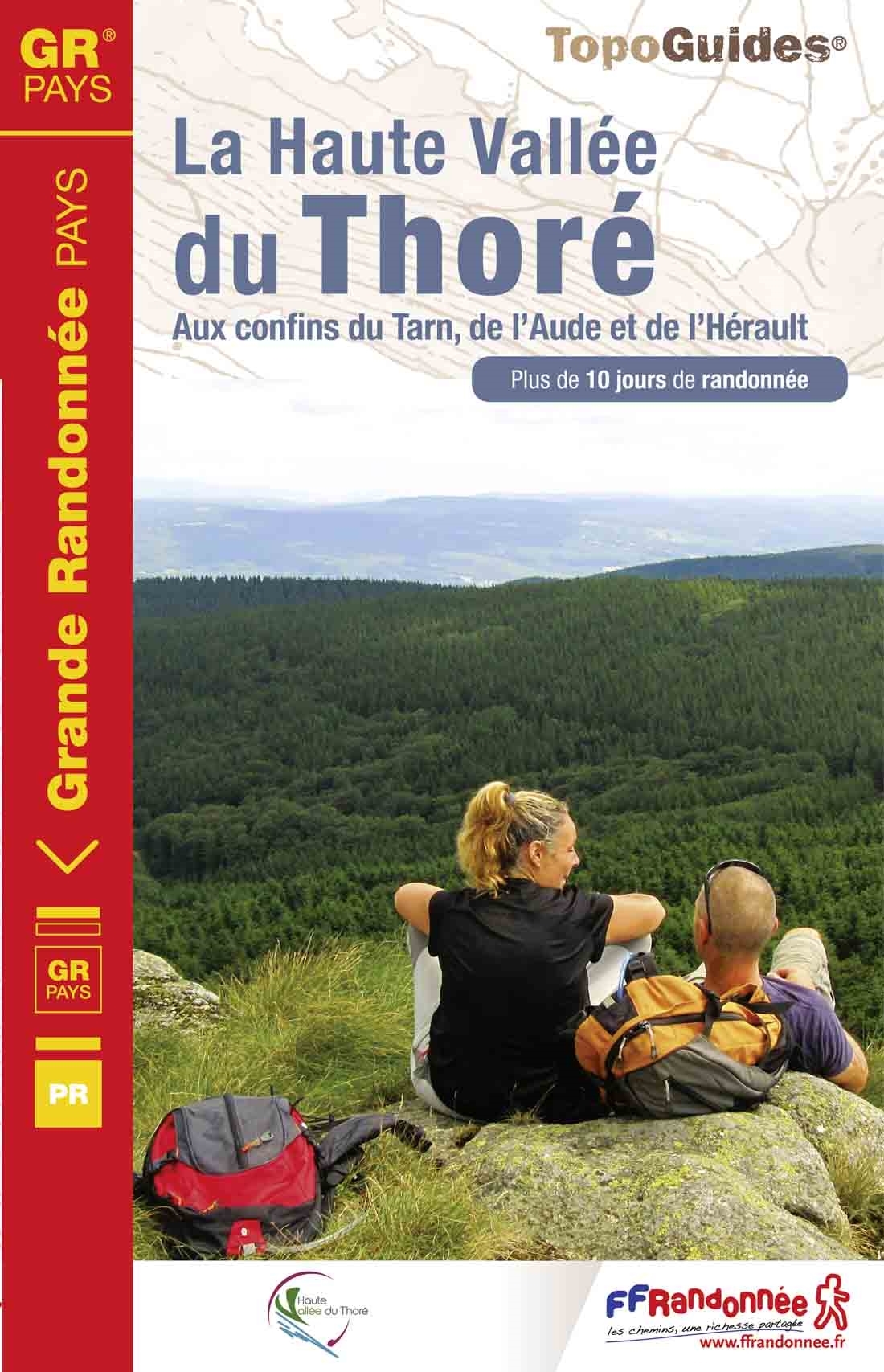
- Wandelgids 812 La Haute Vallée du Thoré | FFRP
- Fout lopen wordt op deze manier wel erg moeilijk. Met symbolen is weergegeven welke voorzieningen (openbaar vervoer / winkels / overnachtingen) er zijn langs of bij de route. Een nadeel is dat de daadwerkelijke adressen dan weer niet altijd genoemd worden. Alle gidsen bevatten een door ons toegevoegde uitgebreide frans nederlandse... Read more
- Also available from:
- Stanfords, United Kingdom

Stanfords
United Kingdom
2015
United Kingdom
2015
- GRP: La Haute Vallée du Thoré FFRP Topo-guide No. 812
- La Haute Vallée du Thoré, FFRP topoguide Ref. no. 812, covering an 82 km circuit in the Parc naturel régional du Haut-Languedoc, plus six day walks in the area. Current edition of this title was published in May 2015.ABOUT THE FFRP (Fédération française de la randonnée pédestre) TOPOGUIDES: published in a handy A5 paperback format, the guides... Read more
De Zwerver
Netherlands
2014
Netherlands
2014
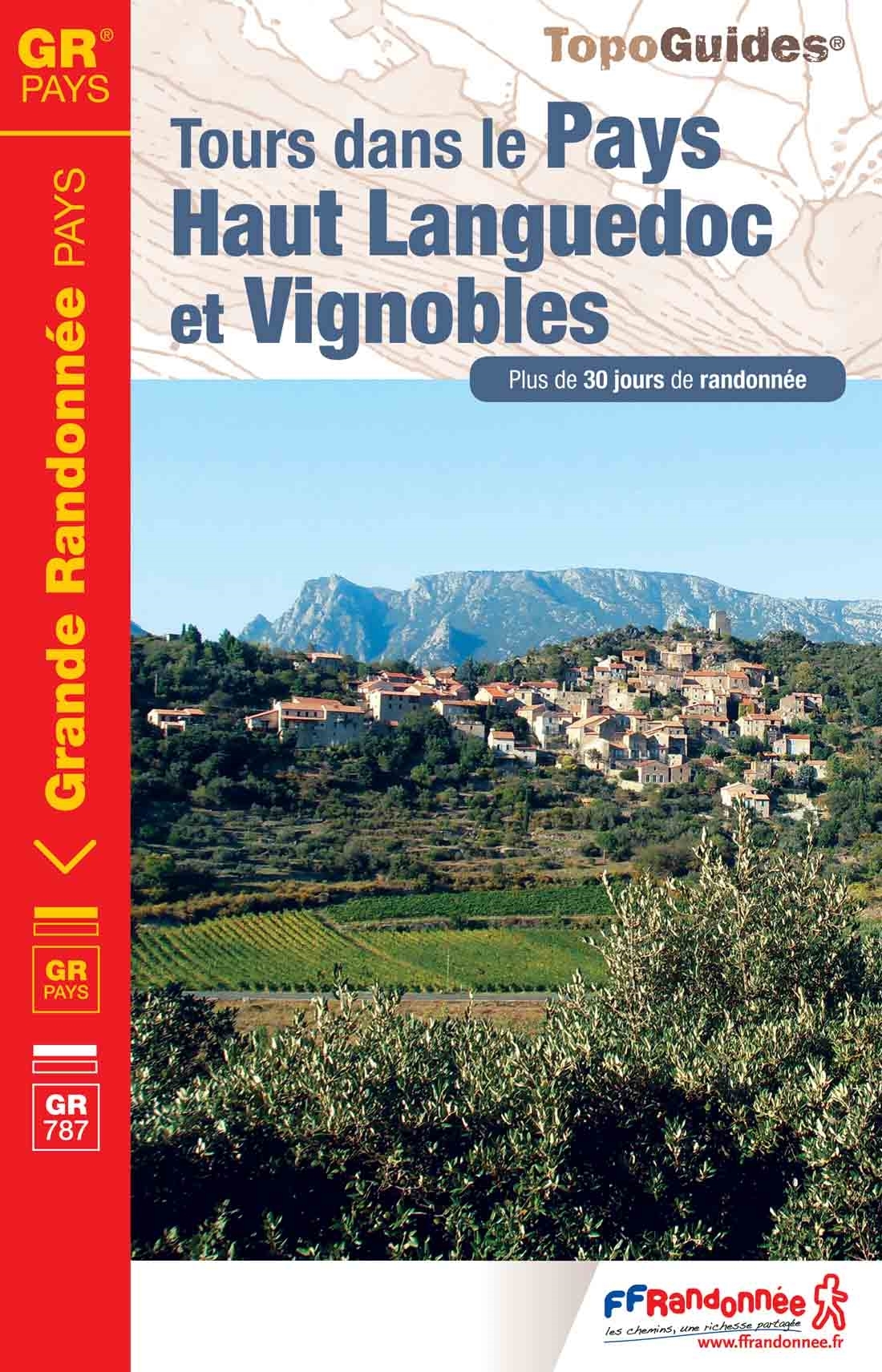
- Wandelgids 3400 Tours dans le Pays Haut Languedoc et Vignobles GR787 | FFRP
- Guide FFRandonnée Tours dans le Pays Haut Languedoc et Vignobles - 3400 - GR, GR Pays, 446 km de sentiers GR. En complément du topo-guide 3481 'Tours dans la montagne du Haut-Languedoc'.Situé en plein cœur du département de l'Aveyron, entre les monts de Lacaune, le Larzac et l'Aubrac, le Lévézou déroule ses collines rêveuses revêtues de... Read more
- Also available from:
- Stanfords, United Kingdom

Stanfords
United Kingdom
2014
United Kingdom
2014
- GRP Tours dans le Pays Haut Languedoc et Vignobles FFRP Topo-guide No. 3400
- Tours dans le Pays Haut Languedoc et Vignobles, FFRP topoguide Ref. no. 3400, covering several routes and circuits, over 446kms in all, in the area west of Lodève and Béziers. Current edition of this title was published in May 2014.ABOUT THE FFRP (Fédération française de la randonnée pédestre) TOPOGUIDES: published in a handy A5 paperback... Read more
De Zwerver
Netherlands
2016
Netherlands
2016
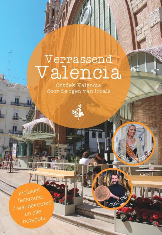
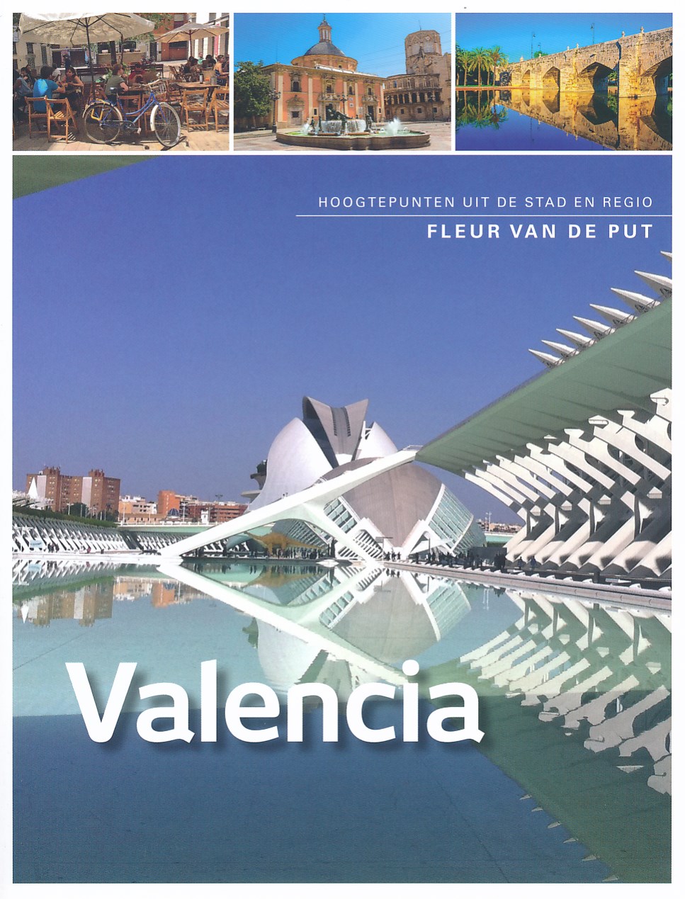
- Reisgids Verrassend Valencia | Sprankelend Spanje
- Valencia blijft verrassend en niet alleen door zijn diverse gastronomie, unieke bezienswaardigheden, mooie stranden, maar ook door de lokale bevolking. De Valencianen vormen naar ons idee een heel belangrijk onderdeel van de stad en daarom willen we je graag kennis laten maken met bijzondere mensen in Valencia en op die manier de stad echt... Read more


De Zwerver
Netherlands
2015
Netherlands
2015
- Wandelgids 6543 Sentier vers Saint-Jacques-de-Compostelle via Vezelay : Périgueux - Roncevaux - GR654 | FFRP
- Guide FFRandonnée Sentier vers St-Jacques-de-Compostelle : Périgueux-Ronceveaux. GR 654. Voie de Vézelay vers Compostelle : suite de l'itinéraire décrit dans le topo-guide réf. 6542 'Sentier vers St-Jacques-de-Compostelle : Vézelay-Périgueux'.Passé le seuil du Périgord blanc,... Read more
- Also available from:
- Stanfords, United Kingdom

Stanfords
United Kingdom
2015
United Kingdom
2015
- GR654 Sentier St-Jacques: Perigueux - Roncevaux FFRP Topo-guide No. 6543
- Sentier St-Jacques: Perigueux - Roncevaux, FFRP topoguide Ref. no. 6543, covering the second part of the Way of St James route along the GR654 which starts in Vézelay, the section from Perigueux to the Pyrenees. Also covered is an eastern route from Bergerac to Montréal-de-Gers. Current edition of this title was published in June 2014.ABOUT THE... Read more
De Zwerver
Netherlands
2017
Netherlands
2017
- Reisgids Valencia | Edicola
- Valencia is de derde grootste stad van Spanje en een van de meest zon zekere bestemmingen van Europa. Het biedt een uitgestrekt strand, een gezellig oud centrum en indrukwekkende futuristische architectuur. De veelzijdige stad Valencia ligt in de gelijknamige provincie. Verscholen in het achterland vind je authentieke dorpjes, verlaten kastelen... Read more
Meer boeken…

Kaarten


De Zwerver
Netherlands
Netherlands
- Wandelkaart Pass'Aran - Couserans - Aran | Editorial Alpina
- A cross-border circuit in the Pyrenees linking the Couserans section of the GR10 in France with a route in the upper part of the Val d’Aran in Spain, presented by Editorial Alpina on a contoured and GPS compatible map at 1:25,000, accompanied by a booklet with stage-by-stage descriptions and contact details for refuges.The map has contours at... Read more
- Also available from:
- Stanfords, United Kingdom

Stanfords
United Kingdom
United Kingdom
- Pass`Aran Circuit: Couserans - Val d`Aran
- A cross-border circuit in the Pyrenees linking the Couserans section of the GR10 in France with a route in the upper part of the Val d’Aran in Spain, presented by Editorial Alpina on a contoured and GPS compatible map at 1:25,000, accompanied by a booklet with stage-by-stage descriptions and contact details for refuges.The map has contours at... Read more

De Zwerver
Netherlands
Netherlands
- Wandelkaart 07 Haute Ariege | Rando Editions
- Itinéraires de rando, infos culturelles, touristiques et sportives, gîtes, refuges : toutes ces infos sont disponibles sur cette carte à cheval sur France et Espagne. Read more
- Also available from:
- Stanfords, United Kingdom

Stanfords
United Kingdom
United Kingdom
- Haute-Ariége Rando Editions 7
- The Haute-Ariége region of the French Pyrenees, from Foix to Pica d`Estats and the Col de Puymorens, on a contoured and GPS compatible map at 1:50,000 from Rando Editions with topographic base provided by the IGN, highlighting local and long-distance hiking trails, etc. Topography is vividly presented by contours at 20m intervals enhanced by... Read more

De Zwerver
Netherlands
Netherlands
- Wandelkaart 11 Collioure-Cadaqués | Rando Editions
- Uitstekende wandelkaart met veel toeristische informatie en bijzonder gedetailleerd. Wandelroute en hutten / campings zijn ingetekend, met hoogtelijnen. Read more
- Also available from:
- Stanfords, United Kingdom

Stanfords
United Kingdom
United Kingdom
- Collioure-Cadaqués Rando Editions 11
- The easternmost part of the French Pyrenees, including Perpignan and the resorts on the Mediterranean coast, on a contoured and GPS compatible map at 1:50,000 from Rando Editions with topographic base provided by the IGN, highlighting local and long-distance hiking trails, etc. Topography is shown by contours at 20m intervals enhanced by... Read more
De Zwerver
Netherlands
Netherlands
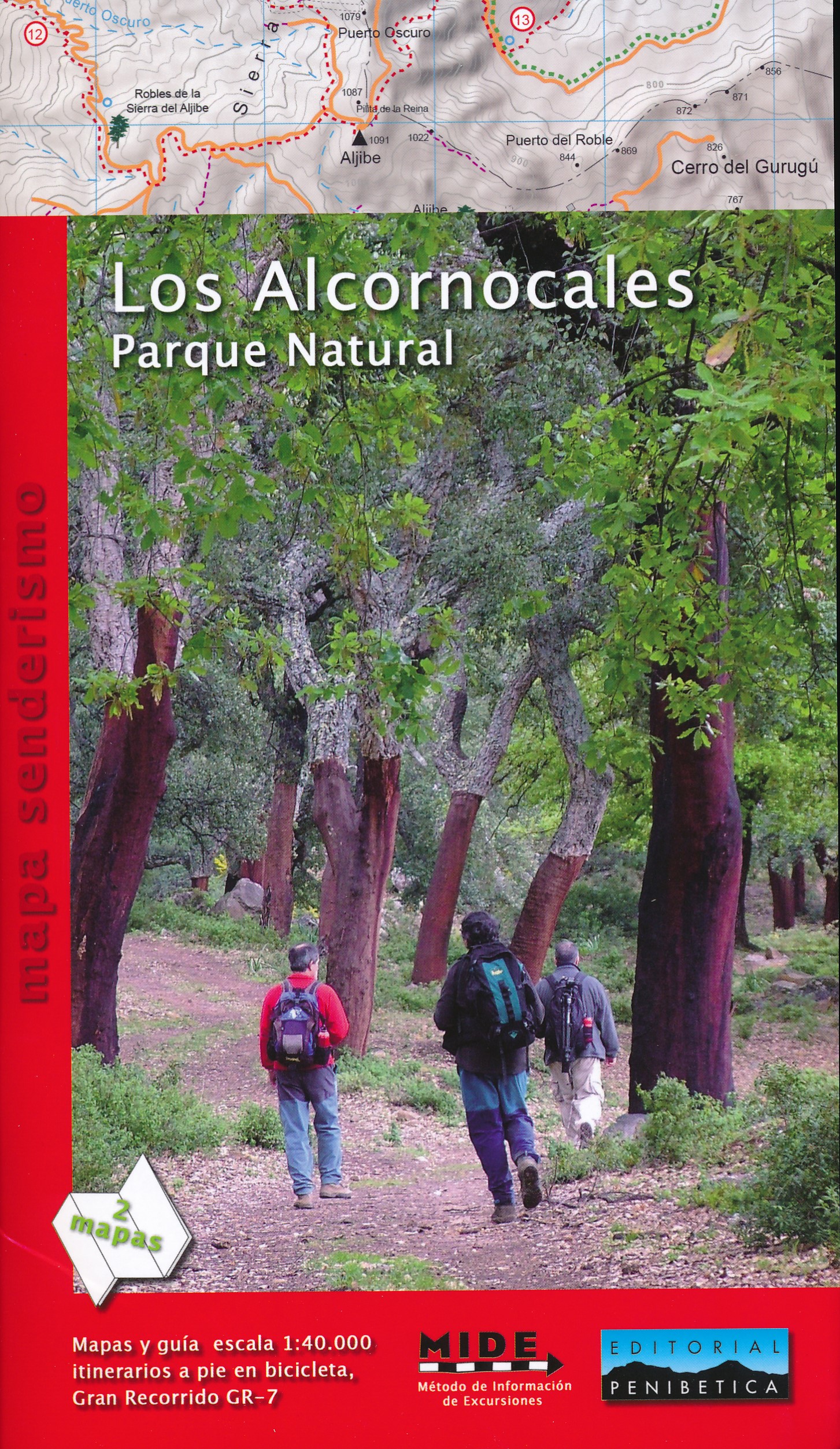
- Wandelkaart Los Alcornocales Parque Natural GR7 | Editorial Penibetica
- Een zeer uitgebreide wandelkaart van het nationale park Los Alcornocales, gelegen ten zuiden van Grazalema tot en met de kust richting Tarifa en Gibraltar. Inclusief een Spaanstalig gidsje met enkele beschreven wandelingen. Op de kaart worden hoogtelijnen, plaatselijke voorzieningen, wandelroutes en andere outdooractiviteiten meegenomen. GPS... Read more

De Zwerver
Netherlands
Netherlands
- Wandelkaart 02 Pays Basque Est | Rando Editions
- Uitstekende wandelkaart met veel toeristische informatie en bijzonder gedetailleerd. Wandelroutes en GR paden en hutten / campings zijn ingetekend, met hoogtelijnen. Andere dorpen op deze kaart: Arrette - la Pierre St. Martin - St. Jean Pied de Port (Frankrijk - Pyreneeen) Versant français et espagnol : Barétous; Soule, Basse-Navarre, vallée... Read more
- Also available from:
- Stanfords, United Kingdom

Stanfords
United Kingdom
United Kingdom
- Pays Basque East Rando Editions 2
- Western Pyrenees in France from the peaks of Iguzuki and Iparla, across St-Jean-Pied-de-Port and Larrau, to Pic d’Anie on a contoured and GPS compatible map at 1:50,000 from Rando Editions with topographic base provided by the IGN, highlighting local and long-distance hiking trails, cycle and mountain bike routes, etc. Topography is vividly... Read more
De Zwerver
Netherlands
Netherlands
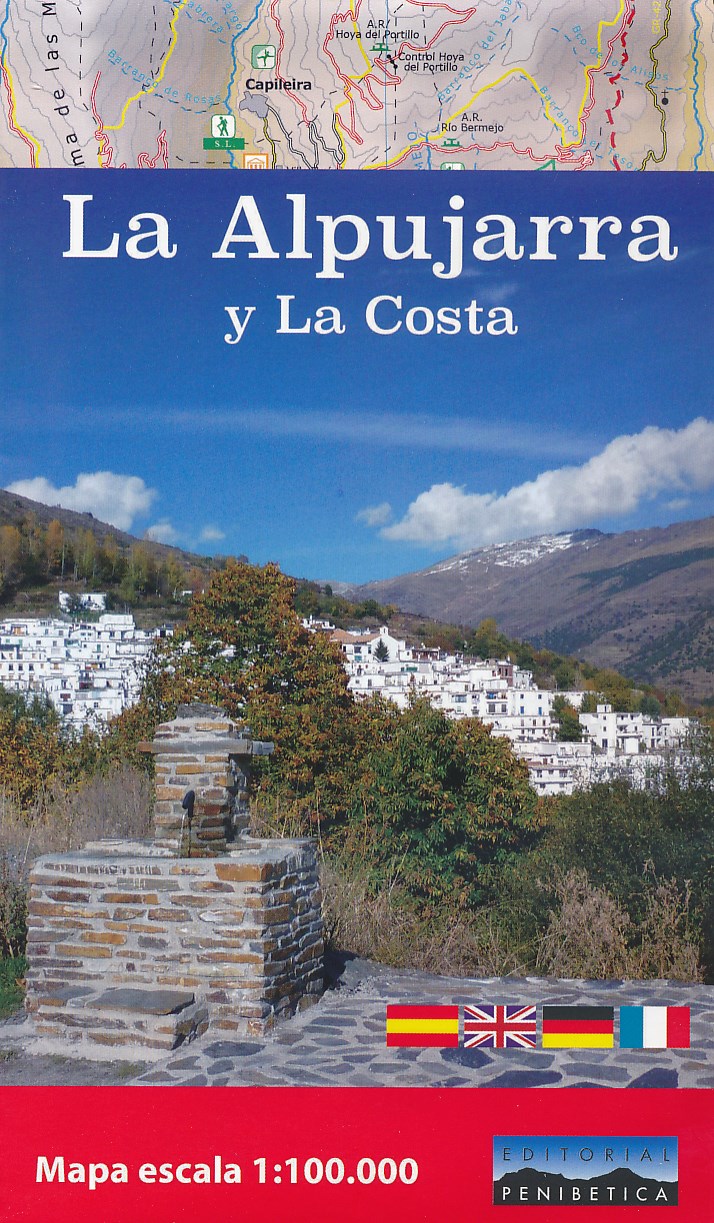
- Wegenkaart - landkaart - Wandelkaart La Alpujarra y la Costa - Alpujarras | Editorial Penibetica
- The Alpujarra region of Andalucía on an indexed, contoured map at 1:100,000 from Editorial Penibetica, extending from the coast between Motril and Roquetas de Mar across southern slopes of the Sierra Nevada to its peaks including Mulhacén. On the reverse are multilingual descriptions and photos of various places of interest.Coverage extends... Read more
- Also available from:
- Stanfords, United Kingdom

Stanfords
United Kingdom
United Kingdom
- La Alpujarra and La Costa Editorial Penibetica
- The Alpujarra region of Andalucía on an indexed, contoured map at 1:100,000 from Editorial Penibetica, extending from the coast between Motril and Roquetas de Mar across southern slopes of the Sierra Nevada to its peaks including Mulhacén. On the reverse are multilingual descriptions and photos of various places of interest.Coverage extends... Read more

De Zwerver
Netherlands
Netherlands
- Wandelkaart 06 Couserans - Val D'aran | Rando Editions
- Uitstekende wandelkaart met veel toeristische informatie en bijzonder gedetailleerd. Wandelroute en hutten / campings zijn ingetekend, met hoogtelijnen. Andere dorpen op deze kaart: PN d'Aigües Tortes - St. Girons - Massat - Guzet Neige - Aulus les Bains (Frankrijk - Pyreneeen). GPS Compatible Read more
- Also available from:
- Stanfords, United Kingdom

Stanfords
United Kingdom
United Kingdom
- Couserans-Val d`Aran Rando Editions 6
- The Couserans region of the French Pyrenees, from St-Girons to Pic de Maubermé and Pica d’Estats, on a contoured and GPS compatible map at 1:50,000 from Rando Editions with topographic base provided by the IGN, highlighting local and long-distance hiking trails, etc. Topography is vividly presented by contours at 20m intervals enhanced by... Read more

- Also available from:
- Stanfords, United Kingdom

Stanfords
United Kingdom
United Kingdom
- Pays Basque West Rando Editions 1
- The westernmost section of the French Pyrenees between the Atlantic coast and St-Jean-Pied-de-Port on a contoured and GPS compatible map at 1:50,000 from Rando Editions with topographic base provided by the IGN, highlighting local and long-distance hiking trails, cycle and mountain bike routes, etc. Coverage along the Atlantic coast starts at... Read more
De Zwerver
Netherlands
Netherlands
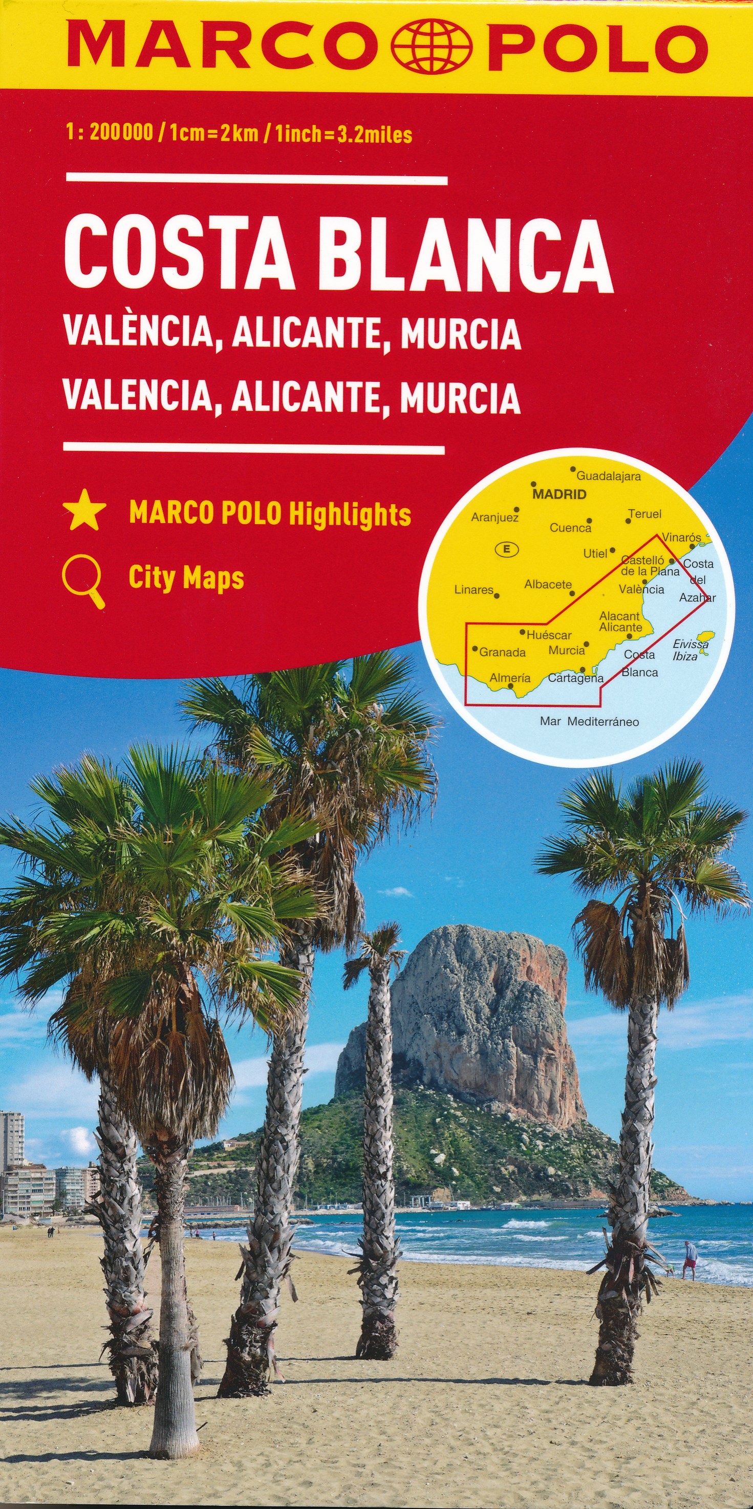
- Wegenkaart - landkaart Costa Blanca Valencia Granada | Marco Polo
- MARCO POLO Karte Costa Blanca, Valencia, Alicante, Castellón, Murcia 1:200 000 ab 9.99 EURO Marco Polo Karte. 4. Auflage Read more

De Zwerver
Netherlands
2021
Netherlands
2021
- Also available from:
- Stanfords, United Kingdom


De Zwerver
Netherlands
Netherlands
- Wandelkaart 04 Bigorre | Rando Editions
- Itinéraires de rando, infos culturelles, touristiques et sportives, gîtes, refuges : toutes ces infos sont disponibles sur cette carte à cheval sur France et Espagne. Read more
- Also available from:
- Stanfords, United Kingdom

Stanfords
United Kingdom
United Kingdom
- Bigorre - Cauterets - Gavarnie - Saint-Lary-Soulan - Pyrenees NP Rando Editions 4
- The highest part of the French Pyrenees, from the peaks of Palas and Balaïtous across Vignemale and the Gavarnie valley to Pic Schrader, on a contoured and GPS compatible map at 1:50,000 from Rando Editions with topographic base provided by the IGN, highlighting local and long-distance hiking trails, mountain bike routes, etc. Coverage starts... Read more

De Zwerver
Netherlands
Netherlands
- Wandelkaart 08 Cerdagne Capcir | Rando Editions
- Uitstekende wandelkaart met veel toeristische informatie en bijzonder gedetailleerd. Wandelroute en hutten / campings zijn ingetekend, met hoogtelijnen. Andere dorpen op deze kaart: Ax les Thermes - Massif de l'Aston - Canillo - Soldeu - Mérens les Vals - Porté Puymorens - Mijanès - Puyvalador - Olette - Mont Louis - Font Romeu - Núria -... Read more
- Also available from:
- Stanfords, United Kingdom

Stanfords
United Kingdom
United Kingdom
- Cerdagne-Capcir Rando Editions 8
- The Cerdagne-Capcir region of the French Pyrenees, from Ax-les Thermes to Font Romeu and Bourg-Madame, on a contoured and GPS compatible map at 1:50,000 from Rando Editions with topographic base provided by the IGN, highlighting local and long-distance hiking trails, etc. Topography is vividly presented by contours at 20m intervals enhanced by... Read more
- Also available from:
- Stanfords, United Kingdom

Stanfords
United Kingdom
United Kingdom
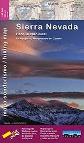
- Sierra Nevada - the Alpujarra - Marquesado del Zenete Editorial Penibetica Map and Guide
- Sierra Nevada in Spain on a contoured, GPS compatible map at 1:40,000 from Editorial Penibetica, double-sided to provide coverage of its main trekking area on one map. Accompanying English language booklet provides descriptions of over 40 walks, details of campsites and huts, etc.The map covers Alpujarras and Marquesado del Zenete, the western... Read more

De Zwerver
Netherlands
Netherlands
- Wandelkaart Trekking map Central Pyrenees - Pyreneeën | TerraQuest
- The central part of the French Pyrenees on a waterproof and tear-resistant, contoured and GPS compatible map at 1:50,000 from terraQuest, highlighting hiking trails, campsites and refuges, etc. The map is presented in a special format handy for conveniently viewing just small sections of it at one time.Coverage extends north to the towns... Read more
- Also available from:
- Stanfords, United Kingdom

Stanfords
United Kingdom
United Kingdom
- Central Pyrenees terraQuest Trekking Map
- The central part of the French Pyrenees on a waterproof and tear-resistant, contoured and GPS compatible map at 1:50,000 from terraQuest, highlighting hiking trails, campsites and refuges, etc. The map is presented in a special format handy for conveniently viewing just small sections of it at one time.Coverage extends north to the towns... Read more