
Brecon Beacons
Beschrijving
Mountain range in the south of Wales. Also, the name is used to refer to the Brecon Beacons National Park, which comprises a larger area and other hill ranges as well. Popular for hiking. Pen y Fan, south Wales highest mountain, is one of the popular destinations.
Paden in deze regio
Links
Feiten
Verslagen
Gidsen en kaarten
Overnachting
Organisaties
Reisorganisaties
GPS
Anders
Boeken
De Zwerver
Netherlands
2019
Netherlands
2019
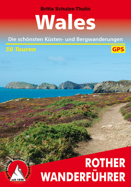
- Wandelgids Wales | Rother Bergverlag
- Uitstekende wandelgids met 50 dagtochten in dal en hoger gelegen delen van het gebergte. Met praktische informatie en beperkt kaartmateriaal! Wandelingen in verschillende zwaarte weergegeven in rood/blauw/zwart. Deze wandelgidsen uitgever staat hoog aangeschreven en is een begrip onder de wandelaars! Dieser Wanderführer führt in die schönsten... Read more
De Zwerver
Netherlands
2021
Netherlands
2021
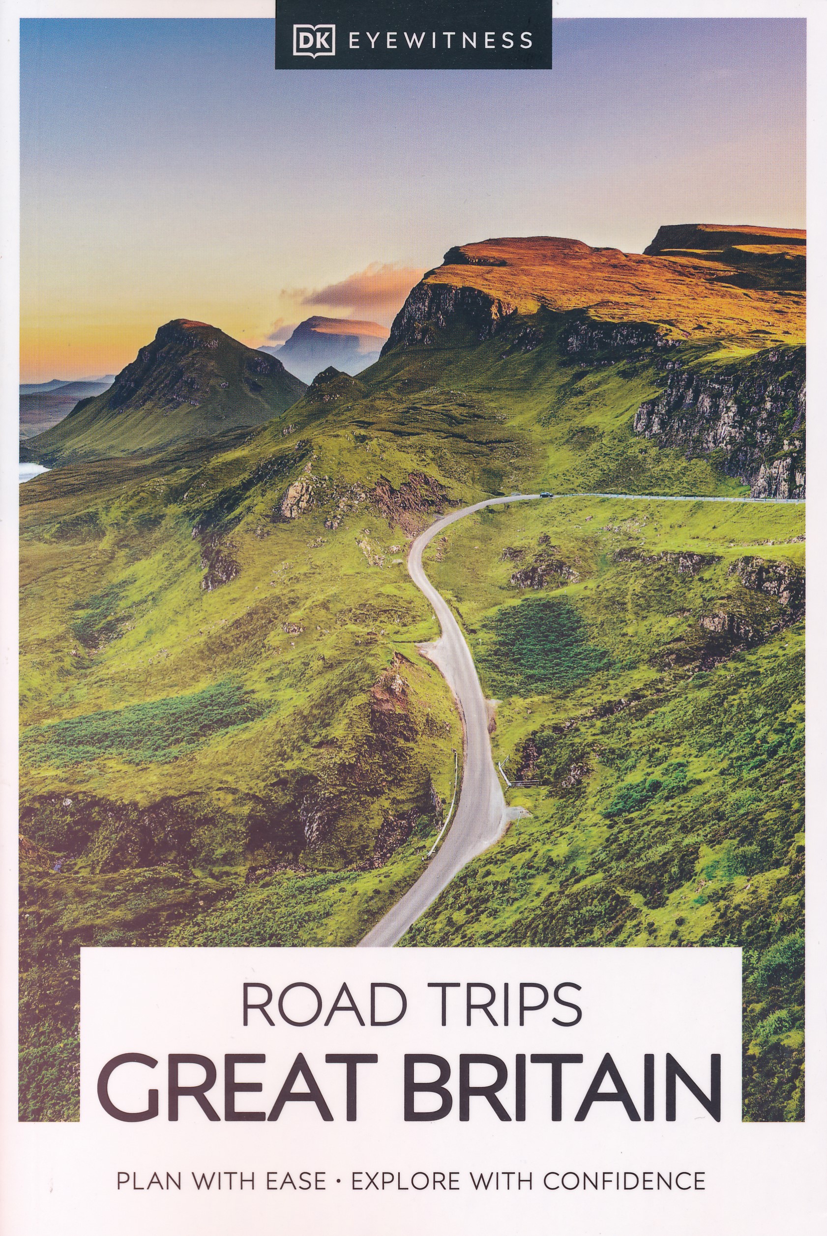
- Reisgids Road Trips Great Britain | Dorling Kindersley
- With its idyllic market towns, romantic castle ruins and stunning natural landscapes, Great Britain is the perfect destination for a leisurely road trip. It`s yours to explore with Road Trips Great Britain, which contains 25 drives across the country, from the sweeping sandy beaches of Cornwall to the dramatic peaks of the Scottish... Read more
- Also available from:
- Stanfords, United Kingdom

Stanfords
United Kingdom
2021
United Kingdom
2021
- DK Eyewitness Road Trips Great Britain
- With its idyllic market towns, romantic castle ruins and stunning natural landscapes, Great Britain is the perfect destination for a leisurely road trip. It`s yours to explore with Road Trips Great Britain, which contains 25 drives across the country, from the sweeping sandy beaches of Cornwall to the dramatic peaks of the Scottish... Read more
De Zwerver
Netherlands
2021
Netherlands
2021
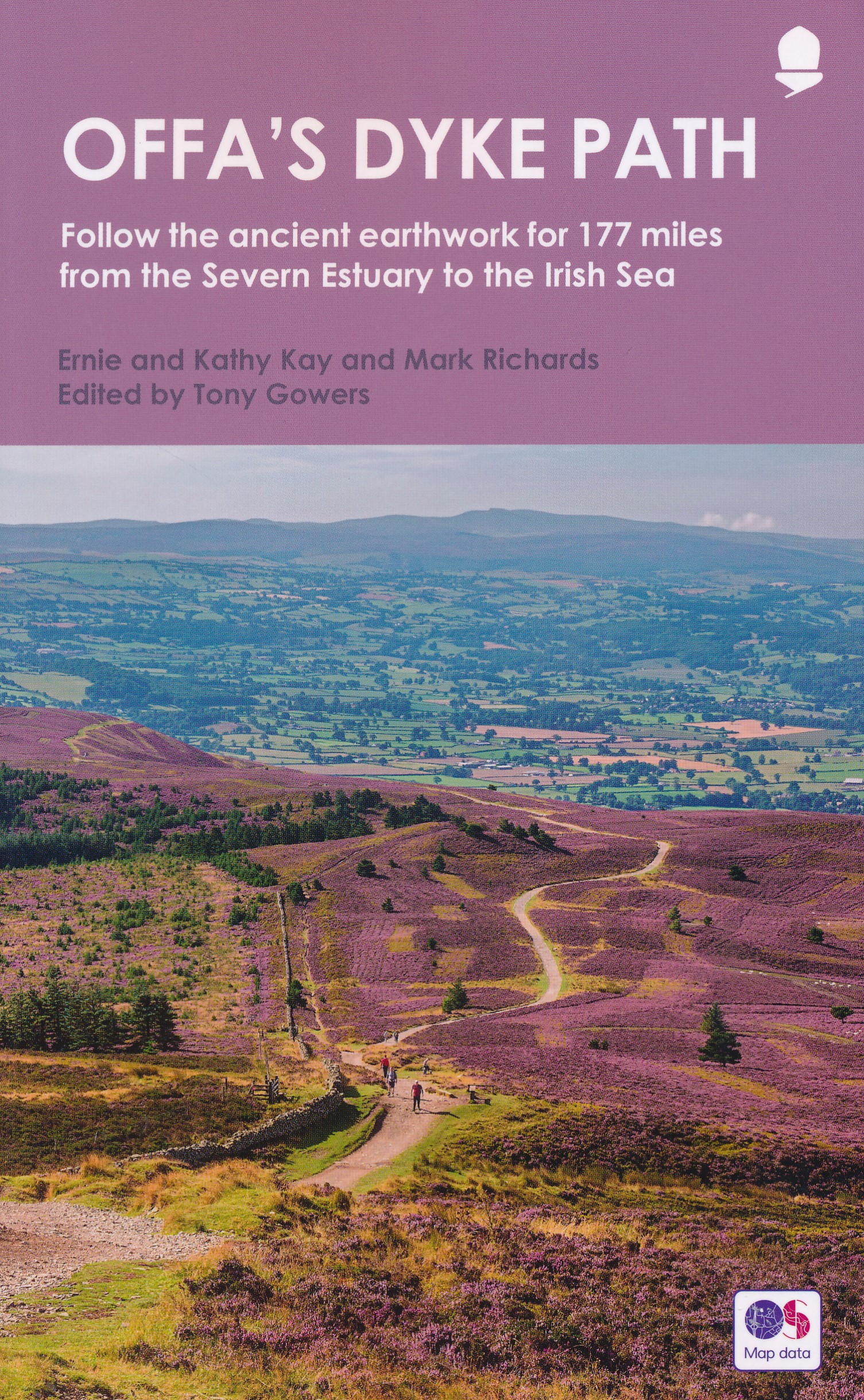
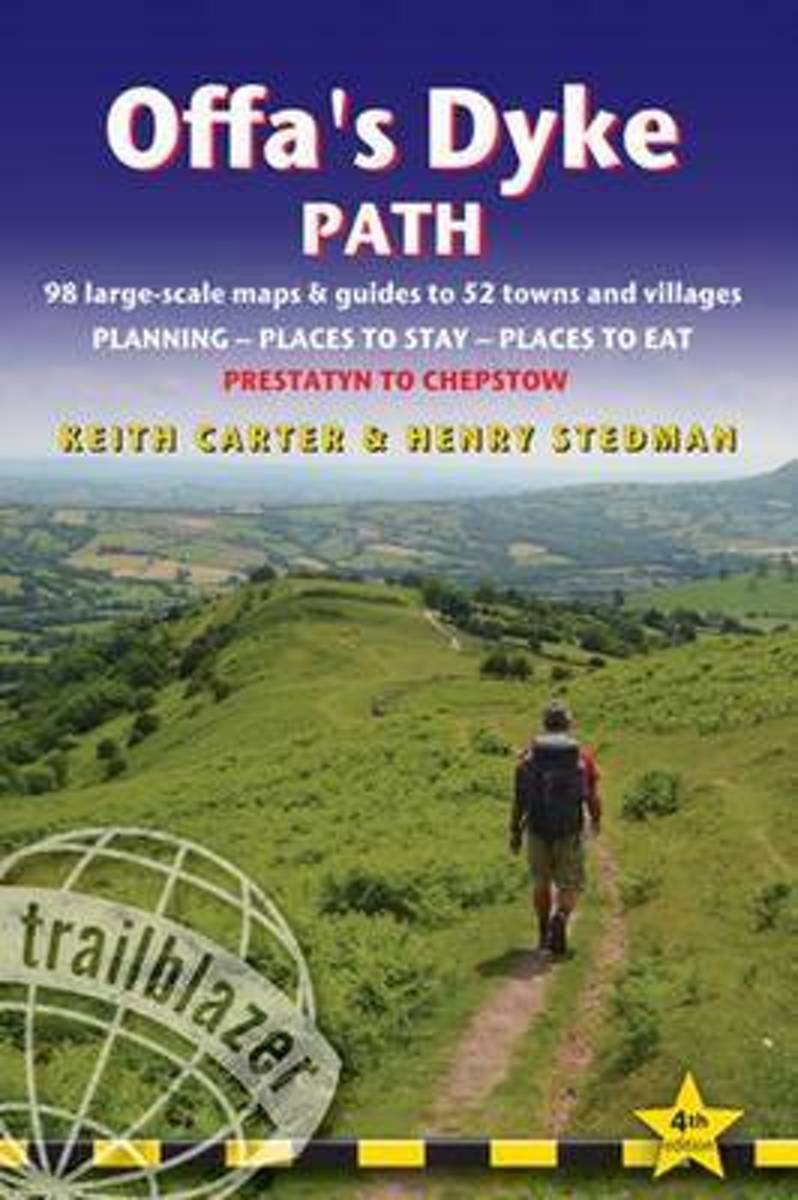
- Wandelgids Offa's Dyke Path (Prestatyn - Chepstow) | Aurum Press
- National Trail Guide Read more
De Zwerver
Netherlands
2023
Netherlands
2023
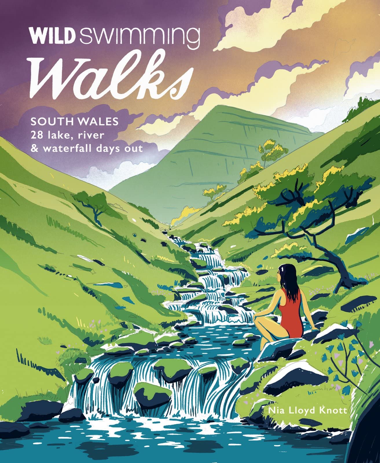
- Reisgids Walks South Wales | Wild Things Publishing
- 28 lake, river, waterfall and coastal days out in the Brecon Beacons, Gower and Wye Valley Read more
De Zwerver
Netherlands
Netherlands
- Also available from:
- Stanfords, United Kingdom

Stanfords
United Kingdom
United Kingdom
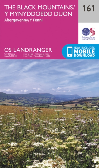
- The Black Mountains - Abergavenny OS Landranger Map 161 (paper)
- The Black Mountains in the Brecon Beacons National Park, including a part of the Offa’s Dyke Path, on a paper version of map No. 161 from the Ordnance Survey’s Landranger series at 1:50,000, with contoured and GPS compatible topographic mapping plus tourist information.MOBILE DOWNLOADS: As well as the physical edition of the map, each... Read more
- Also available from:
- Stanfords, United Kingdom

Stanfords
United Kingdom
United Kingdom
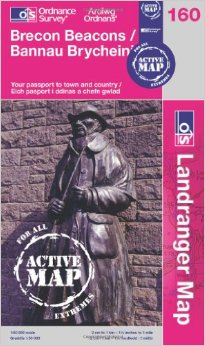
- Brecon Beacons OS Landranger Active Map 160 (waterproof)
- The central and western part of the Brecon Beacons National Park on a waterproof and tear-resistant OS Active version of map No. 160 from the Ordnance Survey’s Landranger series at 1:50,000, with contoured and GPS compatible topographic mapping plus tourist information.MOBILE DOWNLOADS: As well as the physical edition of the map, each... Read more
- Also available from:
- Stanfords, United Kingdom
Stanfords
United Kingdom
2017
United Kingdom
2017
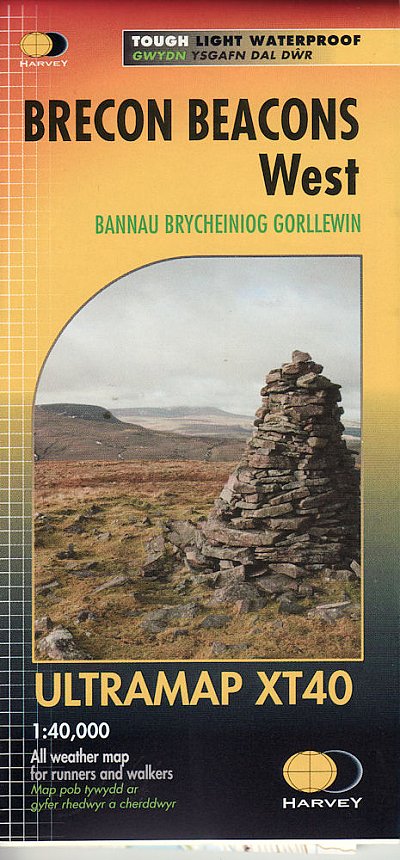
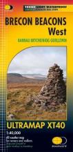
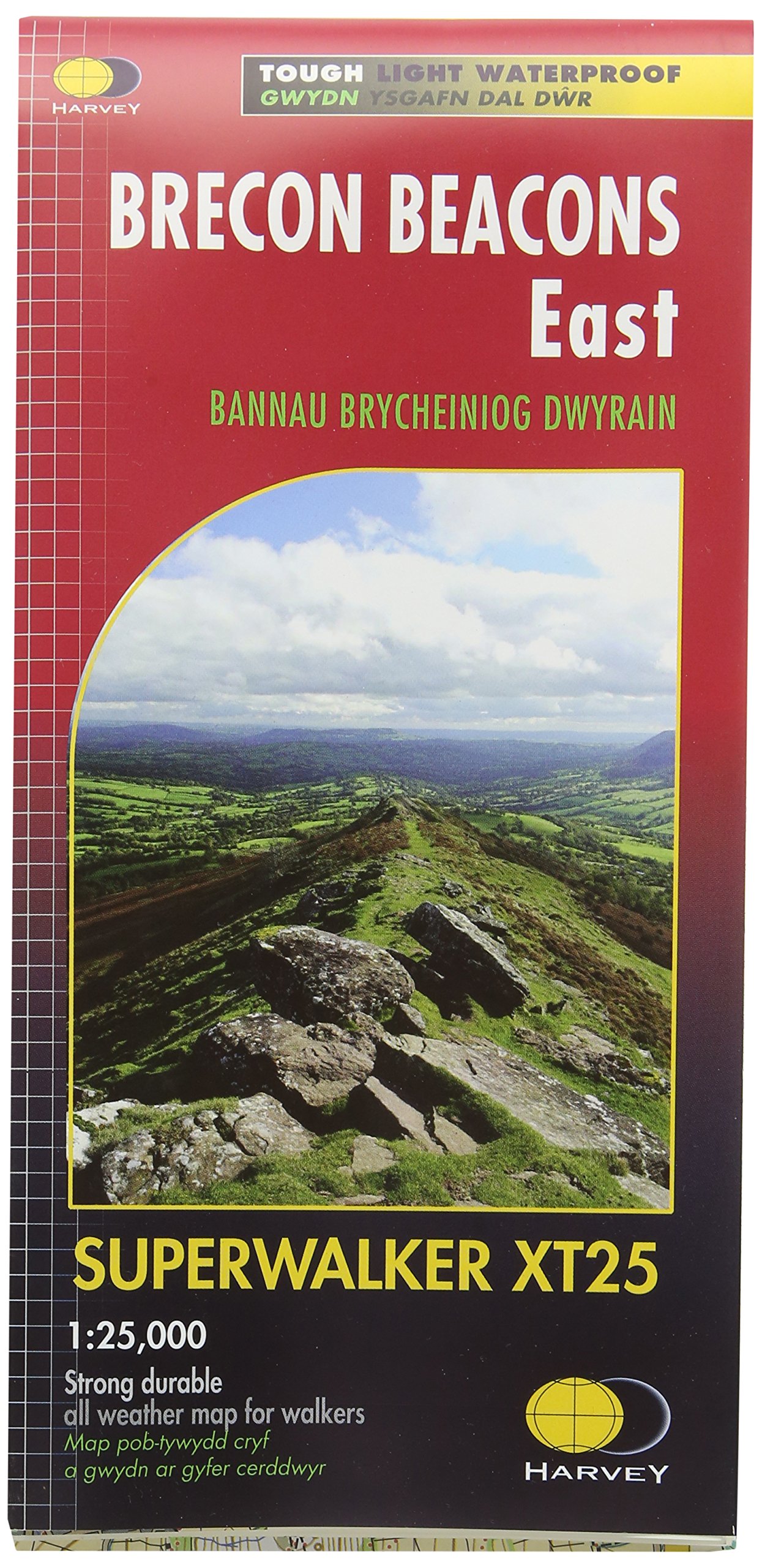
- Brecon Beacons West Harvey Ultramap XT40
- Covers a large area yet is handily compact. Pocket perfect!Detailed map for runners and walkers of the western part of the Brecon Beacons National Park at the magic scale of 1:40,000.Includes Pen y Fan, Fan Fawr and Foel Fraith.Welsh-English text.Has the advantages of its bigger brothers:Fully detailed genuine HARVEY mappingIncludes Rights of... Read more
Bol.com
Netherlands
2018
Netherlands
2018
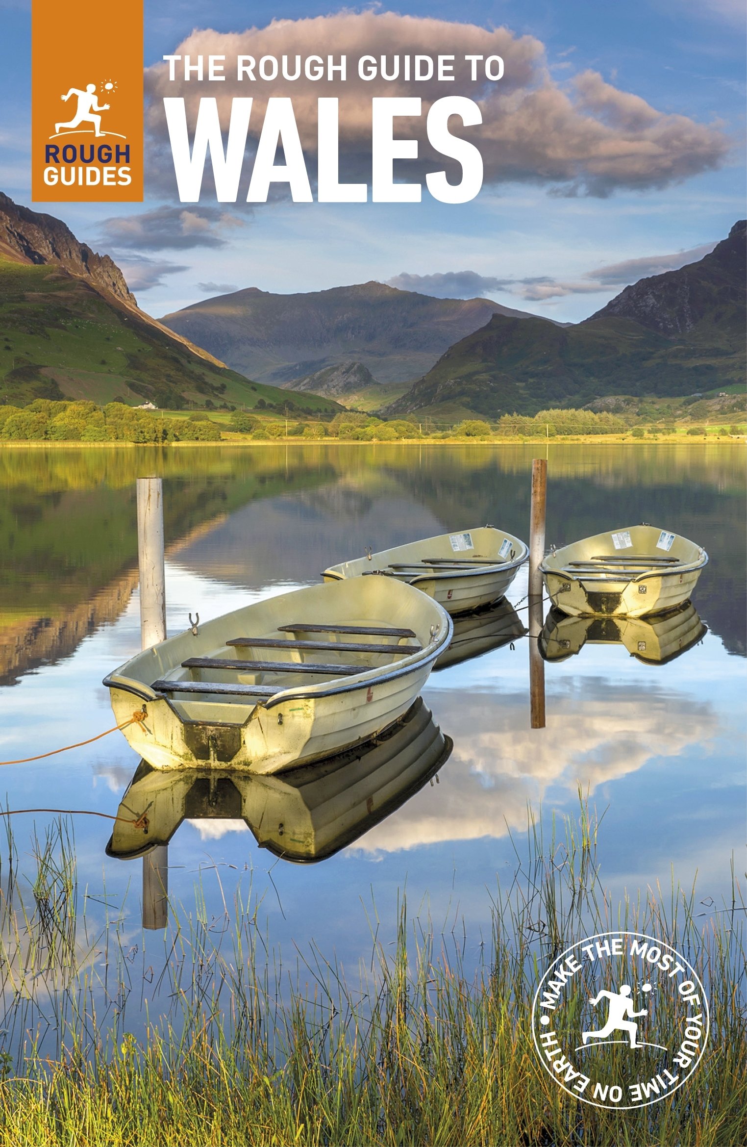
- The Rough Guide to Wales
- Discover this beautiful country with the most incisive and entertaining guidebook on the market. Whether you plan to hike through the wilds of Snowdonia, follow in Wordsworth's footsteps at Tintern Abbey or explore Welsh music and theatre in Swansea, The Rough Guide to Wales will show you the ideal places to sleep, eat, drink and shop along the... Read more
- Also available from:
- Bol.com, Belgium
Bol.com
Belgium
2018
Belgium
2018
- The Rough Guide to Wales
- Discover this beautiful country with the most incisive and entertaining guidebook on the market. Whether you plan to hike through the wilds of Snowdonia, follow in Wordsworth's footsteps at Tintern Abbey or explore Welsh music and theatre in Swansea, The Rough Guide to Wales will show you the ideal places to sleep, eat, drink and shop along the... Read more
Bol.com
Netherlands
2015
Netherlands
2015
- Offa's Dyke Path
- The Offa's Dyke Path is a magnificent National Trail that runs from the North Wales coast to the Severn Estuary following the line of Offa's Dyke, an impressive 8th century earthwork along the English/Welsh border. The ever-changing landscape - the Wye Valley, the Black Mountains, the Shropshire Hills and the Clwydian Hills - is steeped in... Read more
- Also available from:
- Bol.com, Belgium
Bol.com
Belgium
2015
Belgium
2015
- Offa's Dyke Path
- The Offa's Dyke Path is a magnificent National Trail that runs from the North Wales coast to the Severn Estuary following the line of Offa's Dyke, an impressive 8th century earthwork along the English/Welsh border. The ever-changing landscape - the Wye Valley, the Black Mountains, the Shropshire Hills and the Clwydian Hills - is steeped in... Read more
Bol.com
Netherlands
Netherlands
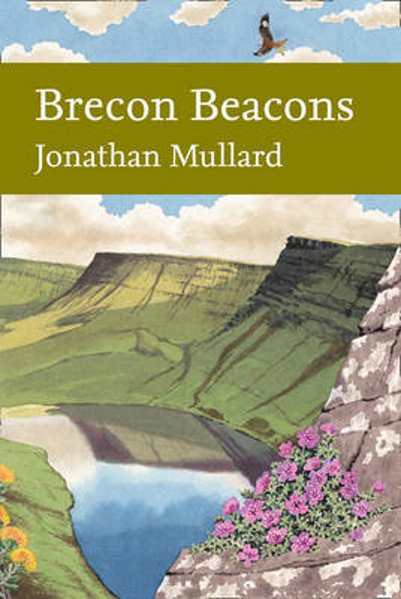
- Brecon Beacons (Collins New Naturalist Library, Book 126)
- The first comprehensive book to be published about the wildlife of the Brecon Beacons is a much-anticipated addition to the New Naturalist series, and reveals the natural wonders of this seemingly wild and inhospitable mountain landscape.The Brecon Beacons range across upland Wales and create a varied landscape of extensive cave systems,... Read more
- Also available from:
- Bol.com, Belgium
Bol.com
Belgium
Belgium
- Brecon Beacons (Collins New Naturalist Library, Book 126)
- The first comprehensive book to be published about the wildlife of the Brecon Beacons is a much-anticipated addition to the New Naturalist series, and reveals the natural wonders of this seemingly wild and inhospitable mountain landscape.The Brecon Beacons range across upland Wales and create a varied landscape of extensive cave systems,... Read more
Bol.com
Netherlands
Netherlands
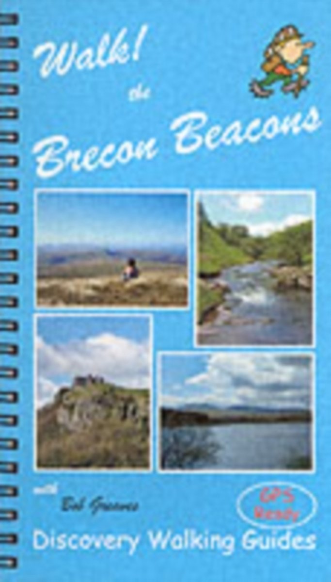
- Walk! the Brecon Beacons
- Travel Book of the Week. As a wannabe walker, I'm much taken with the Discovery Walking guides new Walk! UK series which covers all the major walking destinations from the Lake District to Exmoor. Walk! The Brecon Beacons, GBP12.99 by Bob Greaves, is a handsomely produced book of 160 pages in full colour with Ordnance Survey mapping and a... Read more
- Also available from:
- Bol.com, Belgium
- Stanfords, United Kingdom
- The Book Depository, United Kingdom
Bol.com
Belgium
Belgium
- Walk! the Brecon Beacons
- Travel Book of the Week. As a wannabe walker, I'm much taken with the Discovery Walking guides new Walk! UK series which covers all the major walking destinations from the Lake District to Exmoor. Walk! The Brecon Beacons, GBP12.99 by Bob Greaves, is a handsomely produced book of 160 pages in full colour with Ordnance Survey mapping and a... Read more
Stanfords
United Kingdom
United Kingdom
- Walk! The Brecon Beacons
- Walk the Brecon Beacons is Bob Greaves’ Discovery Walking Guide exploring the best walking possibilities in the famous Welsh mountain range. The guide covers a range of walks within the Brecon Beacons National Park, from a gentle stroll around Usk Reservoir to a challenging four peaks in one day on the Grwynne Fawr route. The walks explore high... Read more

Bol.com
Netherlands
Netherlands
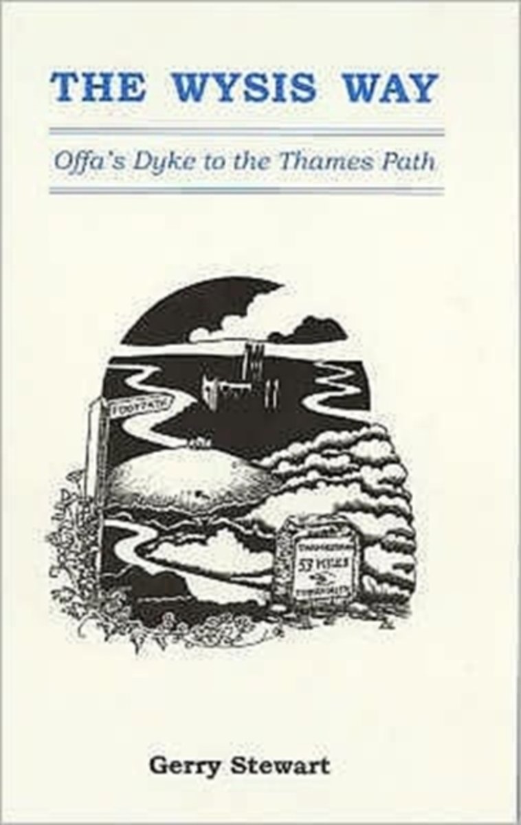
- The Wysis Way
- A walk of 55 miles through Gloucestershire between the rivers Wye, Severn & Thames, and linking two national trails, the Offa's Dyke Path & The Thames Path.From the Wye bridge at Monmouth the Wysis Way follows Offa's Dyke Path up to the Kymin before striking off eastwards through the Forest of Dean to the prominence of May Hill where the view... Read more
- Also available from:
- Bol.com, Belgium
Bol.com
Belgium
Belgium
- The Wysis Way
- A walk of 55 miles through Gloucestershire between the rivers Wye, Severn & Thames, and linking two national trails, the Offa's Dyke Path & The Thames Path.From the Wye bridge at Monmouth the Wysis Way follows Offa's Dyke Path up to the Kymin before striking off eastwards through the Forest of Dean to the prominence of May Hill where the view... Read more
Bol.com
Netherlands
2001
Netherlands
2001
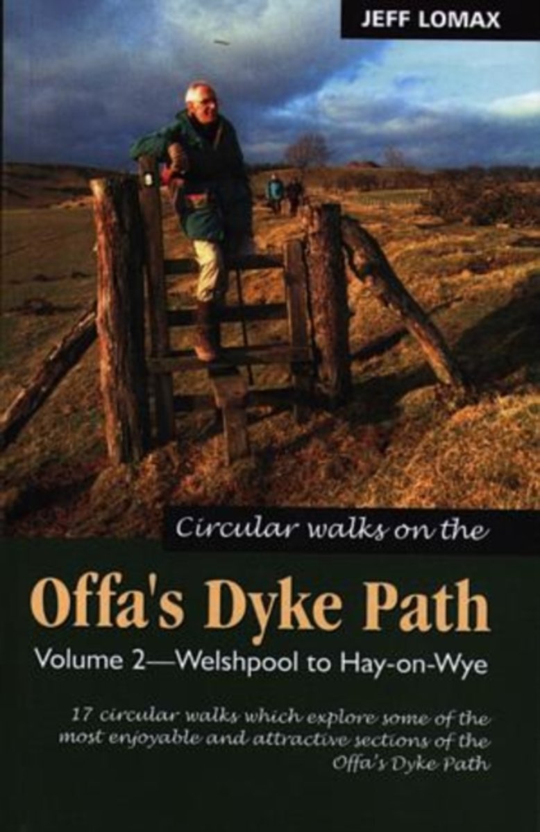
- Circular Walks Along the Offa's Dyke Path
- 17 wandelingen variërend van zo´n 8 tot 17 km met mogelijkheden verschillende wandelingen te combineren. The central section of the Offa ´s Dyke Path, through the Welsh Marches between Welshpool and Hay-on-Wye, is a wonderful switchback walk. Eight rivers and numerous tributaries are crossed in beautiful countryside. The 17 walks in this book... Read more
- Also available from:
- Bol.com, Belgium
- Stanfords, United Kingdom
Bol.com
Belgium
2001
Belgium
2001
- Circular Walks Along the Offa's Dyke Path
- 17 wandelingen variërend van zo´n 8 tot 17 km met mogelijkheden verschillende wandelingen te combineren. The central section of the Offa ´s Dyke Path, through the Welsh Marches between Welshpool and Hay-on-Wye, is a wonderful switchback walk. Eight rivers and numerous tributaries are crossed in beautiful countryside. The 17 walks in this book... Read more
Stanfords
United Kingdom
2001
United Kingdom
2001
- Offa`s Dyke Path - Circular Walks Along, Vol.2
- 17 wandelingen variërend van zo´n 8 tot 17 km met mogelijkheden verschillende wandelingen te combineren. The central section of the Offa ´s Dyke Path, through the Welsh Marches between Welshpool and Hay-on-Wye, is a wonderful switchback walk. Eight rivers and numerous tributaries are crossed in beautiful countryside. The 17 walks in this book... Read more
Bol.com
Netherlands
Netherlands
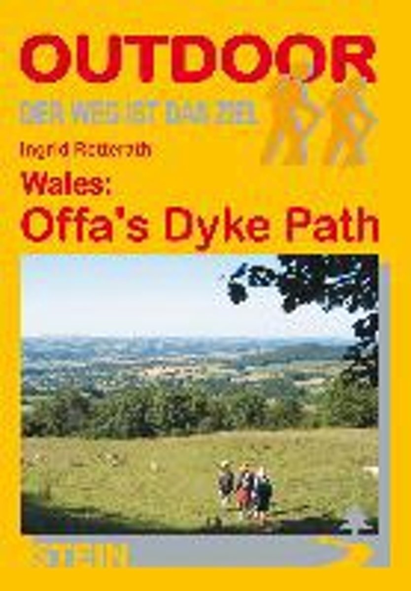
- Wales: Offa's Dyke Path
- Der Offa's Dyke Path ist einer der schönsten Long Distance Walks in Großbritannien und hat sich deshalb in den letzten Jahren auch zu einem der beliebtesten gemausert. Vom Bristol Channel im Süden zieht er sich an der Grenze zwischen England und Wales entlang bis zur Irischen See im Norden. Im Unterschied zu anderen Fernwanderwegen orientiert... Read more
- Also available from:
- Bol.com, Belgium
Bol.com
Belgium
Belgium
- Wales: Offa's Dyke Path
- Der Offa's Dyke Path ist einer der schönsten Long Distance Walks in Großbritannien und hat sich deshalb in den letzten Jahren auch zu einem der beliebtesten gemausert. Vom Bristol Channel im Süden zieht er sich an der Grenze zwischen England und Wales entlang bis zur Irischen See im Norden. Im Unterschied zu anderen Fernwanderwegen orientiert... Read more
Kaarten
De Zwerver
Netherlands
2022
Netherlands
2022

Bol.com
Netherlands
Netherlands
- Offa's Dyke Path South
- Wandelkaart van het Zuidelijk deel van Offa's Dyke Path met uitsnedes van de route. Offa's Dyke Path is a National Trail. It runs along the border between Wales and England. Offa was a famous king of Mercia from 757 to 796, ruling an area stretching across a large part of England. Offa's Dyke Path runs from sea to sea - the Severn... Read more
- Also available from:
- Bol.com, Belgium
Bol.com
Belgium
Belgium
- Offa's Dyke Path South
- Wandelkaart van het Zuidelijk deel van Offa's Dyke Path met uitsnedes van de route. Offa's Dyke Path is a National Trail. It runs along the border between Wales and England. Offa was a famous king of Mercia from 757 to 796, ruling an area stretching across a large part of England. Offa's Dyke Path runs from sea to sea - the Severn... Read more

Bol.com
Netherlands
Netherlands
- Wales Mountain Biking
- Wales Mountain Biking is the 12th title in Vertebrate Publishing's bestselling series of UK mountain biking guidebooks. This book showcases 20 routes in Wales, between 12km and 50km in length, suitable for all levels of mountain bikers. Split into three sections, South Wales, Mid Wales and North Wales, this book includes classic loops in the... Read more
- Also available from:
- Bol.com, Belgium
- Stanfords, United Kingdom
Bol.com
Belgium
Belgium
- Wales Mountain Biking
- Wales Mountain Biking is the 12th title in Vertebrate Publishing's bestselling series of UK mountain biking guidebooks. This book showcases 20 routes in Wales, between 12km and 50km in length, suitable for all levels of mountain bikers. Split into three sections, South Wales, Mid Wales and North Wales, this book includes classic loops in the... Read more

Stanfords
United Kingdom
United Kingdom
- Wales Mountain Biking
- Vertebrate’s guide to mountain biking in Wales covers 20 recommended mountain bike trails, routes and rides ranging from 12km to 50km. The routes themselves have been devised and tested by local riders to help you get the very best out of the Welsh trails.Each route is described with easy-to-follow instructions, information on difficulty,... Read more

Stanfords
United Kingdom
United Kingdom
- The Black Mountains / Y Mynyddoedd Duon 1830-1920 (3-map set)
- Map No. 161, The Black Mountains / Y Mynyddoedd Duon 1830-1920 (3-map set), in the Cassini Historical Series of old Ordnance Survey mapping of England and Wales at 1:50,000 in a format designed to offer a convenient comparison with the present day coverage from the OS, and most locations in three different editions. Old historical maps have... Read more
Stanfords
United Kingdom
United Kingdom
- Brecon Beacons / Bannau Brycheiniog 1919-1923
- Map No. 160, Brecon Beacons / Bannau Brycheiniog 1919-1923, in the Cassini Historical Series of old Ordnance Survey mapping of England and Wales at 1:50,000 in a format designed to offer a convenient comparison with the present day coverage from the OS, and most locations in three different editions. Old historical maps have been combined so... Read more
Stanfords
United Kingdom
United Kingdom
- Presteigne and Hay-on-Wye / Llanandras a’r Gelli Gandryll 1831-1833
- Map No. 148, Presteigne and Hay-on-Wye / Llanandras a’r Gelli Gandryll 1831-1833, in the Cassini Historical Series of old Ordnance Survey mapping of England and Wales at 1:50,000 in a format designed to offer a convenient comparison with the present day coverage from the OS, and most locations in three different editions. Old historical maps... Read more
Stanfords
United Kingdom
United Kingdom
- Lampeter and Llandovery / Llanbedr Pont Steffan a Llanymddyfri 1901-1902
- Map No. 146, Lampeter and Llandovery / Llanbedr Pont Steffan a Llanymddyfri 1901-1902, in the Cassini Historical Series of old Ordnance Survey mapping of England and Wales at 1:50,000 in a format designed to offer a convenient comparison with the present day coverage from the OS, and most locations in three different editions. Old historical... Read more
Stanfords
United Kingdom
United Kingdom
- The Black Mountains / Y Mynyddoedd Duon 1830-1833
- Map No. 161, The Black Mountains / Y Mynyddoedd Duon 1830-1833, in the Cassini Historical Series of old Ordnance Survey mapping of England and Wales at 1:50,000 in a format designed to offer a convenient comparison with the present day coverage from the OS, and most locations in three different editions. Old historical maps have been combined... Read more

Stanfords
United Kingdom
United Kingdom
- Cycling Lon Las Cymru: 250 miles through the heart of Wales on traffic-free paths and quiet roads
- Guidebook to cycling Lon Las Cymru, a 255 mile (410km) route from Cardiff, or 242 mile (390km) from Chepstow to Holyhead, showcasing Wales`s beautiful rural heartland. Passing through the Brecon Beacons National Park, Snowdonia National Park, and over the Black Mountains, the Brecon Beacons and the Cambrian Mountains, the route is as scenic as... Read more

Stanfords
United Kingdom
United Kingdom
- Brecon Beacons East A-Z Adventure Atlas
- The eastern part of the Brecon Beacons at 1:25,000 in a series of handy A5 size Adventure Atlases from Geographers` A-Z Map Company with cartography from the Ordnance Survey’s Explorer series. Coverage includes Brecon, Hay-on-Wye, Pandy, Abergavenny, Pontypool, Merther Tydfil, Llangynidr, Llanfrynach, Llangorse and Talgarth.To see other titles... Read more
Stanfords
United Kingdom
United Kingdom
- Swansea and Gower / Abertawe a Gwyr 1901
- Map No. 159, Swansea and Gower / Abertawe a Gwyr 1901, in the Cassini Historical Series of old Ordnance Survey mapping of England and Wales at 1:50,000 in a format designed to offer a convenient comparison with the present day coverage from the OS, and most locations in three different editions. Old historical maps have been combined so that... Read more
Stanfords
United Kingdom
United Kingdom
- Presteigne and Hay-on-Wye / Llanandras a’r Gelli Gandryll 1919-1920
- Map No. 148, Presteigne and Hay-on-Wye / Llanandras a’r Gelli Gandryll 1819-1920, in the Cassini Historical Series of old Ordnance Survey mapping of England and Wales at 1:50,000 in a format designed to offer a convenient comparison with the present day coverage from the OS, and most locations in three different editions. Old historical maps... Read more
Stanfords
United Kingdom
United Kingdom
- Lampeter and Llandovery / Llanbedr Pont Steffan a Llanymddyfri 1831-1834
- Map No. 146, Lampeter and Llandovery / Llanbedr Pont Steffan a Llanymddyfri 1831-1834, in the Cassini Historical Series of old Ordnance Survey mapping of England and Wales at 1:50,000 in a format designed to offer a convenient comparison with the present day coverage from the OS, and most locations in three different editions. Old historical... Read more
Stanfords
United Kingdom
United Kingdom
- Brecon Beacons / Bannau Brycheiniog 1901-1902
- Map No. 160, Brecon Beacons / Bannau Brycheiniog 1901-1902, in the Cassini Historical Series of old Ordnance Survey mapping of England and Wales at 1:50,000 in a format designed to offer a convenient comparison with the present day coverage from the OS, and most locations in three different editions. Old historical maps have been combined so... Read more