
Clwydian Hills
Beschrijving
Hill Range in northern Wales. The range is designated as Area of Outstanding Natural Beauty. There are quite a few iron age hill forts in this area. The hills offer good views over Snowdonia. Several long distance trails cross these hills.
Paden in deze regio
Links
Feiten
Verslagen
Gidsen en kaarten
Overnachting
Organisaties
Reisorganisaties
GPS
Anders
Boeken
De Zwerver
Netherlands
2021
Netherlands
2021
De Zwerver
Netherlands
2022
Netherlands
2022
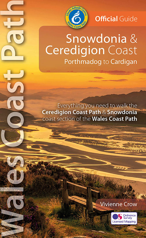
- Wandelgids Wales Coast Path: Snowdonia and Ceredigion | Northern Eye Books
- Porthmadog to Cardigan Read more
De Zwerver
Netherlands
2021
Netherlands
2021
- Wandelgids Offa's Dyke Path (Prestatyn - Chepstow) | Aurum Press
- National Trail Guide Read more
De Zwerver
Netherlands
2014
Netherlands
2014
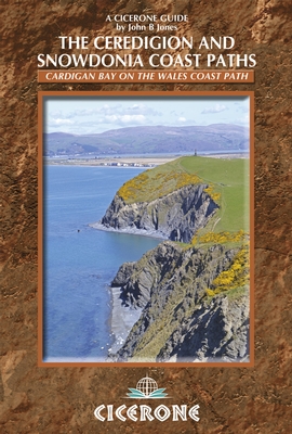
- Wandelgids Wales: The Ceredigion and Snowdonia Coast Paths | Cicerone
- As part of the Wales Coast Path, the Ceredigion Coast Path and Snowdonia Coast Path trace a curve of 233km (145 miles) of coastal and inland walking down Cardigan Bay. This guidebook describes a 16-stage guide to the walk from Porthmadog to St Dogmaels covering the trail between the Lleyn Peninsula and the Pembrokeshire Coast Path. Read more
- Also available from:
- Bol.com, Netherlands
- Bol.com, Belgium
- Stanfords, United Kingdom
- The Book Depository, United Kingdom
Bol.com
Netherlands
2014
Netherlands
2014
- The Ceredigion and Snowdonia Coast Paths
- As part of the Wales Coast Path, the Ceredigion Coast Path and Snowdonia Coast Path trace a curve of 233km (145 miles) of coastal and inland walking down Cardigan Bay. This guidebook describes a 16-stage guide to the walk from Porthmadog to St Dogmaels covering the trail between the Llyn Peninsula and the Pembrokeshire Coast Path. The route is... Read more
Bol.com
Belgium
2014
Belgium
2014
- The Ceredigion and Snowdonia Coast Paths
- As part of the Wales Coast Path, the Ceredigion Coast Path and Snowdonia Coast Path trace a curve of 233km (145 miles) of coastal and inland walking down Cardigan Bay. This guidebook describes a 16-stage guide to the walk from Porthmadog to St Dogmaels covering the trail between the Llyn Peninsula and the Pembrokeshire Coast Path. The route is... Read more

Stanfords
United Kingdom
2014
United Kingdom
2014
- The Ceredigion and Snowdonia Coast Paths - Cardigan Bay on the Wales Coast Path
- Step-by-step guide to backpacking along the Ceredigion and Snowdonia Coast Paths, down the coast of mid-Wales between Porthmadog and the Llyn Peninsula and St Dogmaels and the Pembrokeshire Coast Path, 233km (147 miles) of varied long-distance walking to fill an extended fortnight`s holiday or a series of long weekends and day walks. The route... Read more

The Book Depository
United Kingdom
2014
United Kingdom
2014
- The Ceredigion and Snowdonia Coast Paths
- The Wales Coast Path from Porthmadog to St Dogmaels Read more
Bol.com
Netherlands
2017
Netherlands
2017
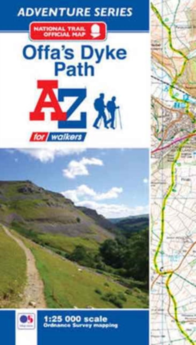
- Offa's Dyke Path Adventure Atlas
- AZ heeft de meest gedetailleerde wandelkaarten van het Offa's Dyke Path gebundeld in een atlasje. Daardoor is het heel handig qua formaat. De kaarten zelf zijn perfect voor het wandelen. Schaal 1:25.000 The A-Z Adventure Series of maps combines the best of OS and A-Z, creating the perfect companion for walkers, off-road cyclists, horse riders... Read more
- Also available from:
- Bol.com, Belgium
Bol.com
Belgium
2017
Belgium
2017
- Offa's Dyke Path Adventure Atlas
- AZ heeft de meest gedetailleerde wandelkaarten van het Offa's Dyke Path gebundeld in een atlasje. Daardoor is het heel handig qua formaat. De kaarten zelf zijn perfect voor het wandelen. Schaal 1:25.000 The A-Z Adventure Series of maps combines the best of OS and A-Z, creating the perfect companion for walkers, off-road cyclists, horse riders... Read more
Bol.com
Netherlands
2013
Netherlands
2013
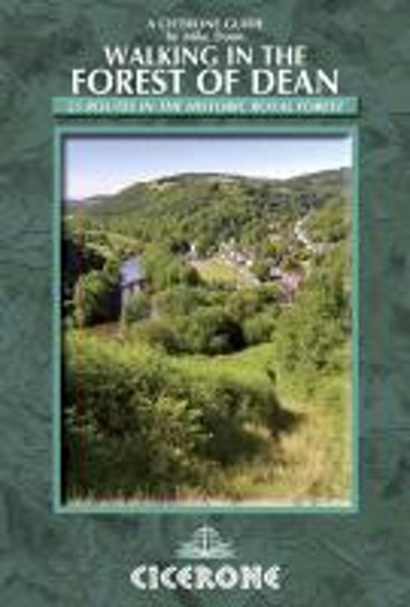
- Walking in the Forest of Dean
- A walking guidebook to the Forest of Dean Area of Outstanding Natural Beauty. From short walks of 4 miles to all-day sections of long-distance routes such as the Offa's Dyke path and the Gloucestershire Way, the 25 walks in this guidebook gives you the information needed to enjoy a wide range of walking among the rolling countryside of the... Read more
- Also available from:
- Bol.com, Belgium
- Stanfords, United Kingdom
- The Book Depository, United Kingdom
Bol.com
Belgium
2013
Belgium
2013
- Walking in the Forest of Dean
- A walking guidebook to the Forest of Dean Area of Outstanding Natural Beauty. From short walks of 4 miles to all-day sections of long-distance routes such as the Offa's Dyke path and the Gloucestershire Way, the 25 walks in this guidebook gives you the information needed to enjoy a wide range of walking among the rolling countryside of the... Read more

Stanfords
United Kingdom
2013
United Kingdom
2013
- Walking in the Forest of Dean
- Mike Dunn’s Cicerone guide to Walking in the Forest of Dean illustrates 25 walks in the historic royal forest, featuring detailed instructions, OS map extracts and colour photographs.An introduction presents the history, geology and landscape, plants and wildlife of the forest, area of outstanding natural beauty that borders England and South... Read more

The Book Depository
United Kingdom
2013
United Kingdom
2013
- Walking in the Forest of Dean
- 25 routes in the historic Royal Forest Read more
Bol.com
Netherlands
Netherlands
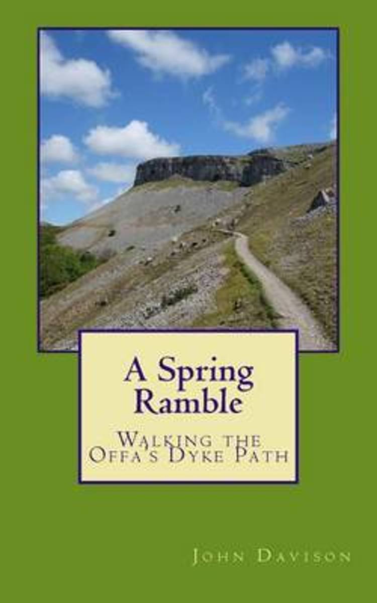
- A Spring Ramble
- Offa s Dyke. The border between England and Wales. The most impressive monument of its kind in Europe, now a national walking trail. 1,200 years old and 177 miles long. More ascent than Everest. The present-day peace and tranquillity of this beautiful, remote area belie its turbulent past. Follow the walk from sea to sea, past castles,... Read more
- Also available from:
- Bol.com, Belgium
Bol.com
Belgium
Belgium
- A Spring Ramble
- Offa s Dyke. The border between England and Wales. The most impressive monument of its kind in Europe, now a national walking trail. 1,200 years old and 177 miles long. More ascent than Everest. The present-day peace and tranquillity of this beautiful, remote area belie its turbulent past. Follow the walk from sea to sea, past castles,... Read more
Bol.com
Netherlands
Netherlands
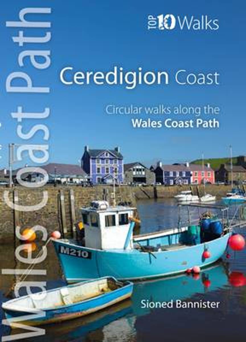
- The Ceredigion Coast
- One of a series of books in the new Top 10 Walks: Wales Coast Path series. Handy, pocket-sized, full colour walking guides written by experts. Each volume outlines the most popular circular walks along key sections of the coast path. Other titles in the series include: Llyn Peninsula, Cardigan Bay North and Carmarthen Bay & Gower. These... Read more
- Also available from:
- Bol.com, Belgium
- Stanfords, United Kingdom
- The Book Depository, United Kingdom
Bol.com
Belgium
Belgium
- The Ceredigion Coast
- One of a series of books in the new Top 10 Walks: Wales Coast Path series. Handy, pocket-sized, full colour walking guides written by experts. Each volume outlines the most popular circular walks along key sections of the coast path. Other titles in the series include: Llyn Peninsula, Cardigan Bay North and Carmarthen Bay & Gower. These... Read more

Stanfords
United Kingdom
United Kingdom
- The Ceredigion Coast: Circular Walks Along the Wales Coast Path
- One of a series of books in the new Top 10 Walks: Wales Coast Path series. Handy, pocket-sized, full colour walking guides written by experts. Each volume outlines the most popular circular walks along key sections of the coast path. Other titles in the series include: Llyn Peninsula, Cardigan Bay North and Carmarthen Bay & Gower. These... Read more

The Book Depository
United Kingdom
United Kingdom
- The Ceredigion Coast
- Circular Walks Along the Wales Coast Path Read more
Bol.com
Netherlands
Netherlands
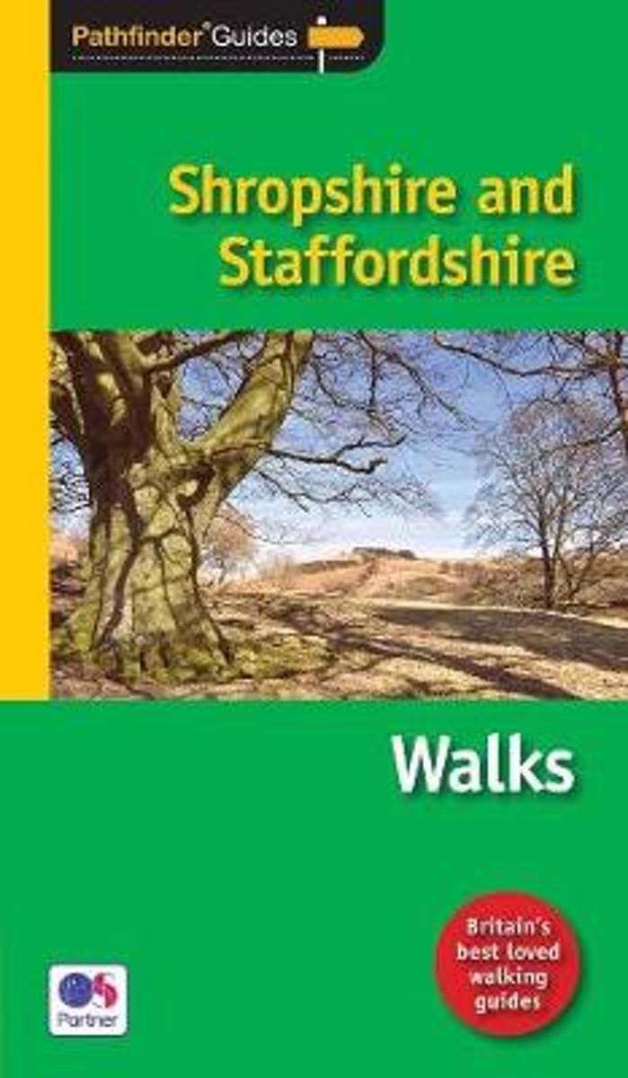
- Pathfinder Shropshire & Staffordshire
- Britain's best loved walking guides brings you a brand new Pathfinder (R) Guide to Shropshire & Staffordshire Walks containing 28 fabulous walks exploring the unspoilt rural landscapes of Shropshire and Staffordshire from the Welsh borders to the fringes of the Peak District, and from the mosses and meres near the Cheshire border to Cannock... Read more
- Also available from:
- Bol.com, Belgium
Bol.com
Belgium
Belgium
- Pathfinder Shropshire & Staffordshire
- Britain's best loved walking guides brings you a brand new Pathfinder (R) Guide to Shropshire & Staffordshire Walks containing 28 fabulous walks exploring the unspoilt rural landscapes of Shropshire and Staffordshire from the Welsh borders to the fringes of the Peak District, and from the mosses and meres near the Cheshire border to Cannock... Read more
Bol.com
Netherlands
2014
Netherlands
2014
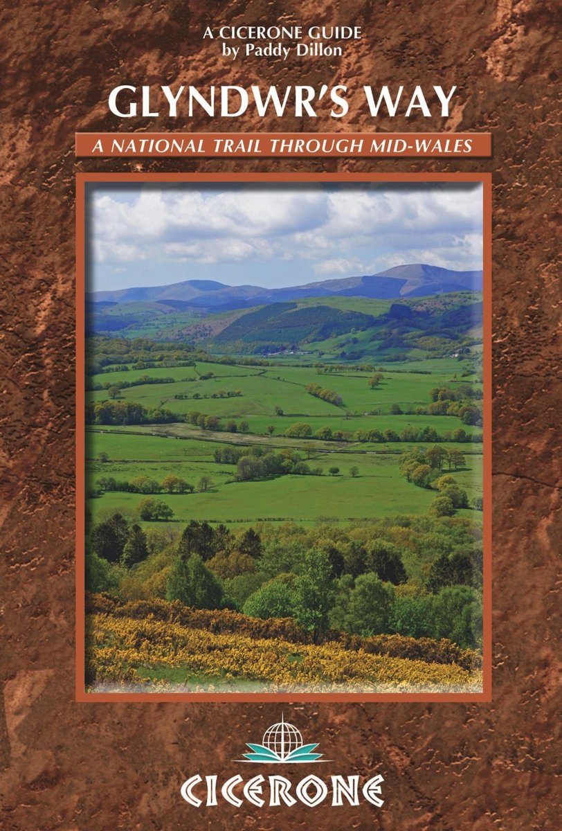
- Glyndwr's Way
- A complete guide to walking Glyndwr's Way National Trail. This guidebook divides the 135 mile trail into nine day stages, starting at Knighton and ending at Welshpool. After day 4 there is an optional ascent of Pumlimon Fawr, which will require an extra day. Days 10 and 11 follow the Offa's Dyke Path National Trail for those who prefer a... Read more
- Also available from:
- Bol.com, Belgium
- The Book Depository, United Kingdom
Bol.com
Belgium
2014
Belgium
2014
- Glyndwr's Way
- A complete guide to walking Glyndwr's Way National Trail. This guidebook divides the 135 mile trail into nine day stages, starting at Knighton and ending at Welshpool. After day 4 there is an optional ascent of Pumlimon Fawr, which will require an extra day. Days 10 and 11 follow the Offa's Dyke Path National Trail for those who prefer a... Read more

The Book Depository
United Kingdom
2014
United Kingdom
2014
- Glyndwr's Way
- Guidebook to Glyndwr's Way, a mid-Wales long-distance National Trail of 135 miles taking 9 days to walk, and 2 days (and 29 miles) to complete the loop down the Offa's Dyke Path to create a circular trail. It loops west from Knighton via Machynlleth to Welshpool and covers quiet hills, forests and rolling countryside. Read more
Bol.com
Netherlands
2013
Netherlands
2013
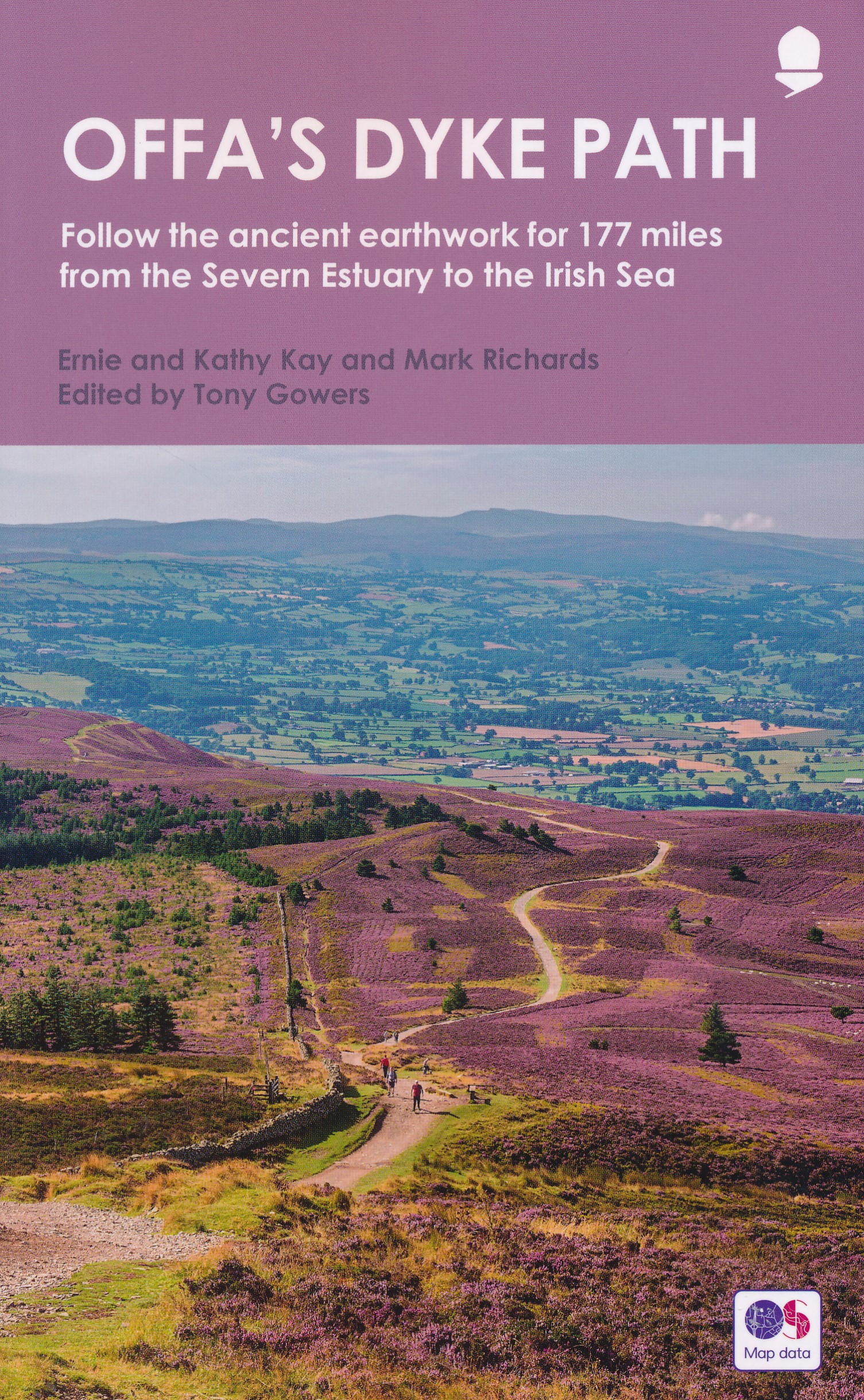
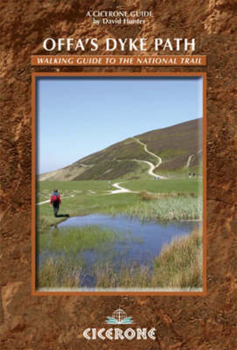
- Offa's Dyke Path
- The Offas Dyke Path, a 177 mile National Trail, runs along the England / Wales border between Chepstow and Prestatyn. The main route is described in this guide in 15 stages, as are alternative routes which visit places of interest or detour to accommodation, as well as planning information to create flexible itineraries. The route - fully... Read more
- Also available from:
- Bol.com, Belgium
Bol.com
Belgium
2013
Belgium
2013
- Offa's Dyke Path
- The Offas Dyke Path, a 177 mile National Trail, runs along the England / Wales border between Chepstow and Prestatyn. The main route is described in this guide in 15 stages, as are alternative routes which visit places of interest or detour to accommodation, as well as planning information to create flexible itineraries. The route - fully... Read more
Bol.com
Netherlands
2015
Netherlands
2015
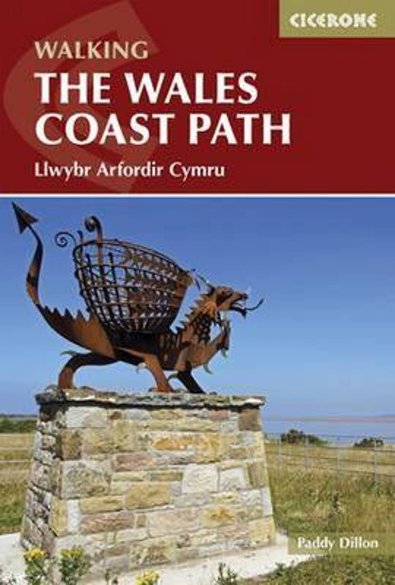
- The Wales Coast Path
- The Welsh Coast Path, at 870 miles is the longest trail in Britain, tracing the coastline from Chester to Chepstow. This guidebook divides the entire coastal path into 9 geographical areas and 57 stages, ranging between 10 to 20 miles in length. However there is no need to stick rigidly to this schedule, as there are usually places where each... Read more
- Also available from:
- Bol.com, Belgium
- The Book Depository, United Kingdom
Bol.com
Belgium
2015
Belgium
2015
- The Wales Coast Path
- The Welsh Coast Path, at 870 miles is the longest trail in Britain, tracing the coastline from Chester to Chepstow. This guidebook divides the entire coastal path into 9 geographical areas and 57 stages, ranging between 10 to 20 miles in length. However there is no need to stick rigidly to this schedule, as there are usually places where each... Read more

Bol.com
Netherlands
Netherlands
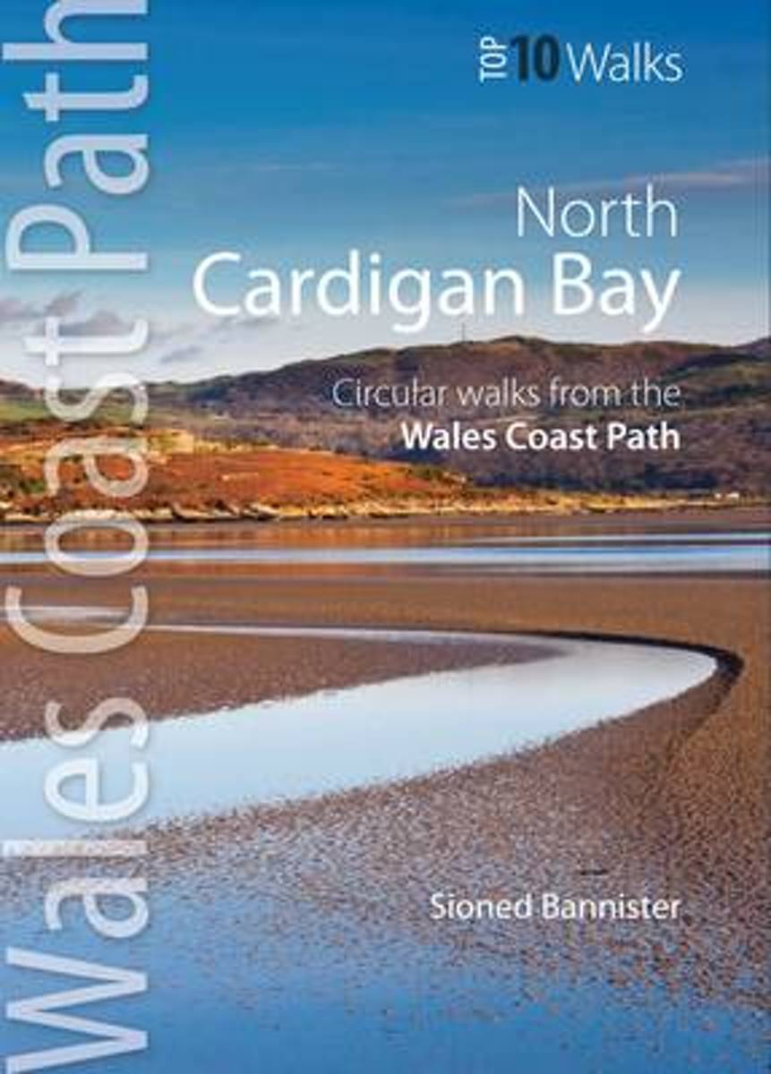
- Cardigan Bay North
- This attractive and cleverly structured guidebook gives walkers the ten finest routes along a section of the new Wales Coast Path, officially opened in May 2012, in a popular pocketable format. With clear information, an overview and introduction for each walk, expertly written numbered directions, Ordnance Survey maps, superb, eye-grabbing... Read more
- Also available from:
- Bol.com, Belgium
Bol.com
Belgium
Belgium
- Cardigan Bay North
- This attractive and cleverly structured guidebook gives walkers the ten finest routes along a section of the new Wales Coast Path, officially opened in May 2012, in a popular pocketable format. With clear information, an overview and introduction for each walk, expertly written numbered directions, Ordnance Survey maps, superb, eye-grabbing... Read more
Kaarten

Bol.com
Netherlands
Netherlands
- Offa's Dyke Path South
- Wandelkaart van het Zuidelijk deel van Offa's Dyke Path met uitsnedes van de route. Offa's Dyke Path is a National Trail. It runs along the border between Wales and England. Offa was a famous king of Mercia from 757 to 796, ruling an area stretching across a large part of England. Offa's Dyke Path runs from sea to sea - the Severn... Read more
- Also available from:
- Bol.com, Belgium
Bol.com
Belgium
Belgium
- Offa's Dyke Path South
- Wandelkaart van het Zuidelijk deel van Offa's Dyke Path met uitsnedes van de route. Offa's Dyke Path is a National Trail. It runs along the border between Wales and England. Offa was a famous king of Mercia from 757 to 796, ruling an area stretching across a large part of England. Offa's Dyke Path runs from sea to sea - the Severn... Read more
De Zwerver
Netherlands
2013
Netherlands
2013
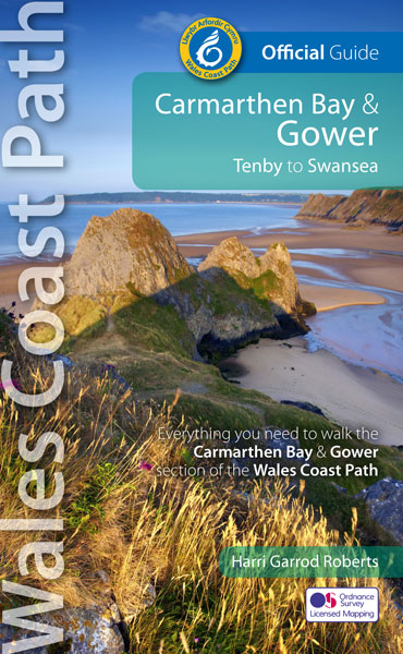
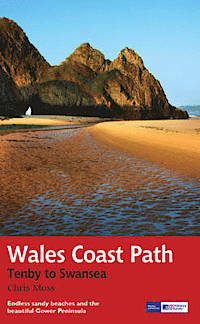
- Wandelgids Wales Coast Path: Tenby-Swansea | Aurum Press
- 2012 saw the opening of the entire Welsh coastline as an official long-distance footpath. Now, to complement its existing National Trail Guide to the Pembrokeshire Coast Path, which makes up the section of the Path from Fishguard to just beyond Tenby, Aurum publishes a completely new guide to the other most scenic and popular stretch of the... Read more
- Also available from:
- Bol.com, Netherlands
- Bol.com, Belgium
Bol.com
Netherlands
2013
Netherlands
2013
- Wales Coast Path
- 2012 saw the opening of the entire Welsh coastline as an official long-distance footpath. Now, to complement its existing National Trail Guide to the Pembrokeshire Coast Path, which makes up the section of the Path from Fishguard to just beyond Tenby, Aurum publishes a completely new guide to the other most scenic and popular stretch of the... Read more
Bol.com
Belgium
2013
Belgium
2013
- Wales Coast Path
- 2012 saw the opening of the entire Welsh coastline as an official long-distance footpath. Now, to complement its existing National Trail Guide to the Pembrokeshire Coast Path, which makes up the section of the Path from Fishguard to just beyond Tenby, Aurum publishes a completely new guide to the other most scenic and popular stretch of the... Read more
Bol.com
Netherlands
Netherlands
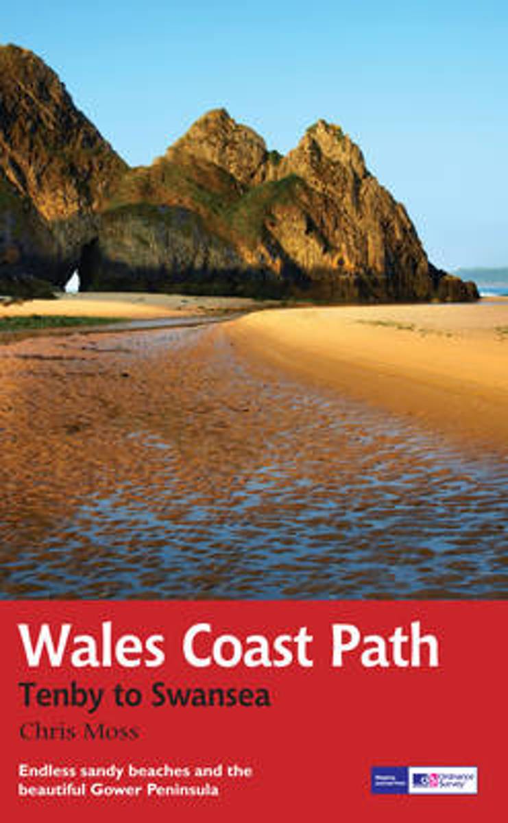
- Pembroke Coast Path XT40
- Pembrokeshire Coast Path, a 265km / 165 mile section of the Wales Coast Path, presented at 1:40,000 on a light, waterproof and tear-resistant map from Harvey Map Services. The route is shown on nine panels.Maps in the Harvey Read more
- Also available from:
- Bol.com, Belgium
- Stanfords, United Kingdom
Bol.com
Belgium
Belgium
- Pembroke Coast Path XT40
- Pembrokeshire Coast Path, a 265km / 165 mile section of the Wales Coast Path, presented at 1:40,000 on a light, waterproof and tear-resistant map from Harvey Map Services. The route is shown on nine panels.Maps in the Harvey Read more

Stanfords
United Kingdom
United Kingdom
- Pembrokeshire Coast Path Harvey National Trail XT40
- Pembrokeshire Coast Path, a 265km / 165 mile section of the Wales Coast Path, presented at 1:40,000 on a light, waterproof and tear-resistant map from Harvey Map Services. The route is shown on nine panels.Maps in the Harvey’s series covering Great Britain’s national trails and other long-distance footpaths are printed on light, waterproof and... Read more

Bol.com
Netherlands
Netherlands
- Wales Mountain Biking
- Wales Mountain Biking is the 12th title in Vertebrate Publishing's bestselling series of UK mountain biking guidebooks. This book showcases 20 routes in Wales, between 12km and 50km in length, suitable for all levels of mountain bikers. Split into three sections, South Wales, Mid Wales and North Wales, this book includes classic loops in the... Read more
- Also available from:
- Bol.com, Belgium
- Stanfords, United Kingdom
Bol.com
Belgium
Belgium
- Wales Mountain Biking
- Wales Mountain Biking is the 12th title in Vertebrate Publishing's bestselling series of UK mountain biking guidebooks. This book showcases 20 routes in Wales, between 12km and 50km in length, suitable for all levels of mountain bikers. Split into three sections, South Wales, Mid Wales and North Wales, this book includes classic loops in the... Read more

Stanfords
United Kingdom
United Kingdom
- Wales Mountain Biking
- Vertebrate’s guide to mountain biking in Wales covers 20 recommended mountain bike trails, routes and rides ranging from 12km to 50km. The routes themselves have been devised and tested by local riders to help you get the very best out of the Welsh trails.Each route is described with easy-to-follow instructions, information on difficulty,... Read more

Stanfords
United Kingdom
United Kingdom
- North Pembrokeshire OS Explorer Map OL35 (paper)
- The northern coast of Pembrokeshire between Cardigan and St Davids on a detailed topographic and GPS compatible map OL35, paper version, from the Ordnance Survey’s 1:25,000 Explorer series. Coverage includes Pembrokeshire Coast National Park, Goodwick, Fishguard, Llys-y-fran Reservoir, Ramsey Island, the Pembrokeshire Coast Path National Trail... Read more
De Zwerver
Netherlands
2022
Netherlands
2022
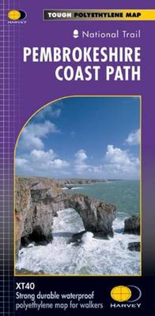
- Wandelkaart North Wales Coast Path Map | Northern Eye Books
- One of seven handy, lightweight, pocket sized map bookscovering the whole of the 870 mile/1400 kilometre Wales Coast Path. This volume covers North Wales from Chester to Bangor and includes enhanced large scale (1:25,000) Ordnance Survey mapping in a handy atlas format, with extracts from large scale Explorer maps 266, 265, 264 and OL17.The... Read more
- Also available from:
- Stanfords, United Kingdom
- The Book Depository, United Kingdom

Stanfords
United Kingdom
2022
United Kingdom
2022
- North Wales Coast - Chester to Bangor - Wales Coast Path Map-Booklet
- One of seven handy, lightweight, pocket sized map bookscovering the whole of the 870 mile/1400 kilometre Wales Coast Path. This volume covers North Wales from Chester to Bangor and includes enhanced large scale (1:25,000) Ordnance Survey mapping in a handy atlas format, with extracts from large scale Explorer maps 266, 265, 264 and OL17.The... Read more

The Book Depository
United Kingdom
2022
United Kingdom
2022
- North Wales Coast Path Map
- 1:25,000 scale Ordnance Survey mapping for the Wales Coast Path Read more

- Also available from:
- The Book Depository, United Kingdom
