
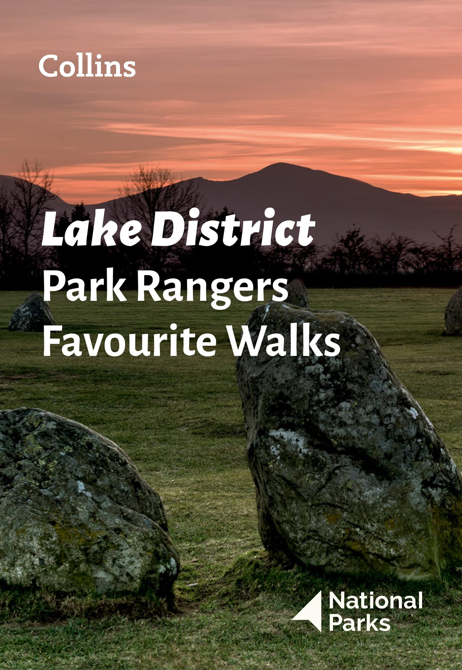
Lake District
Beschrijving
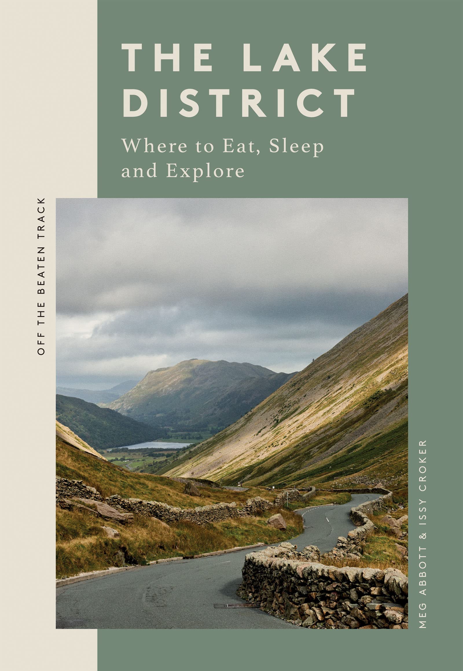
The Lake District in northwestern England is one of the most popular hiking and holiday destinations of England. The contrast between the wild, sometimes rugged mountains, and the friendly valleys is striking. The lakes offer excellent holiday entertainment. Speaking about the Lake District, one should not forget to mention the romantic poet William Wordsworth. You may find copies of his writings in the villages.
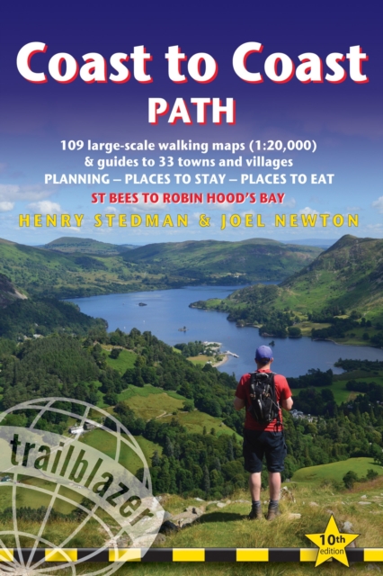
Several long distance hikes traverse the region. The Coast to Coast Path chooses some of the best scenery. But there is much more to enjoy. The extended network of well marked trails is awaiting you.
Paden in deze regio
Links
Feiten
Verslagen
Gidsen en kaarten
Overnachting
Organisaties
Reisorganisaties
GPS
Anders
Boeken
De Zwerver
Netherlands
2019
Netherlands
2019
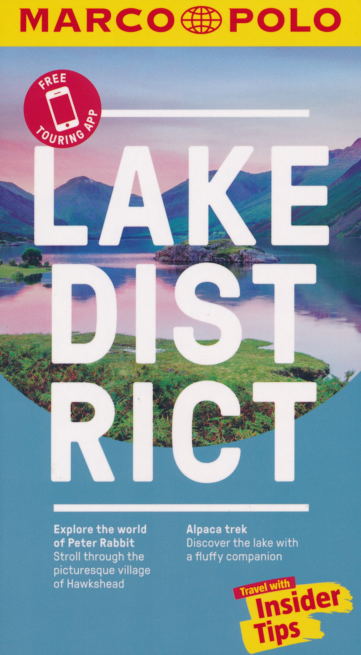
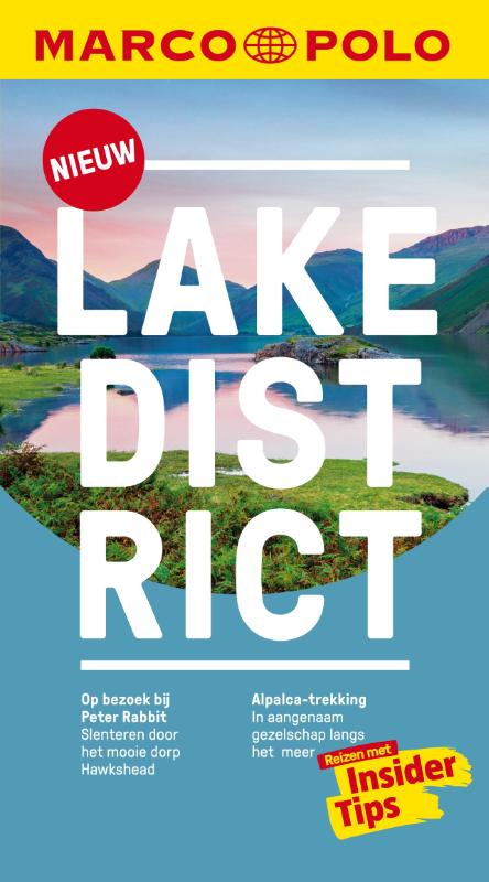
- Reisgids Marco Polo ENG Lake District | MairDumont
- Marco Polo Pocket Guide Lake District: the Travel Guide with Insider TipsExplore the Lake District with this handy, pocket-sized, authoritative guide, packed with Insider Tips. Discover boutique hotels, authentic restaurants, the region`s trendiest places, and get tips on shopping and what to do on a limited budget. There are plenty of ideas... Read more
- Also available from:
- Stanfords, United Kingdom

Stanfords
United Kingdom
2019
United Kingdom
2019
- Lake District Marco Polo Pocket Travel Guide 2019 - with pull out map
- Marco Polo Pocket Guide Lake District: the Travel Guide with Insider TipsExplore the Lake District with this handy, pocket-sized, authoritative guide, packed with Insider Tips. Discover boutique hotels, authentic restaurants, the region`s trendiest places, and get tips on shopping and what to do on a limited budget. There are plenty of ideas... Read more
De Zwerver
Netherlands
2022
Netherlands
2022
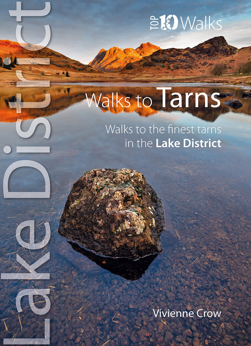
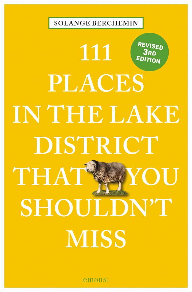
- Wandelgids Walks to the Tarns in the Lake District | Northern Eye Books
- The new revised edition of this popular guide gives walkers ten of the finest walks to small upland lakes or tarns in the Lake District National Park, in a popular pocketable format. With clear information, an overview and introduction for each walk, expertly written numbered directions, large scale Ordnance Survey maps, superb eye-grabbing... Read more
- Also available from:
- Stanfords, United Kingdom

Stanfords
United Kingdom
2022
United Kingdom
2022
- Top 10 Walks to the Tarns in the Lake District
- The new revised edition of this popular guide gives walkers ten of the finest walks to small upland lakes or tarns in the Lake District National Park, in a popular pocketable format. With clear information, an overview and introduction for each walk, expertly written numbered directions, large scale Ordnance Survey maps, superb eye-grabbing... Read more
De Zwerver
Netherlands
2023
Netherlands
2023
De Zwerver
Netherlands
2018
Netherlands
2018
- Wandelgids The Southern Upland Way | Cicerone
- Guidebook to the Southern Upland Way, a coast to coast walk through Galloway and the Scottish Borders. One of Scotland's Great Trails, the 347km (215 mile) route links Portpatrick on the west coast to Cockburnspath on the east, through diverse landscapes and rich natural and historical interest. It can be completed in around a fortnight. Read more
- Also available from:
- Stanfords, United Kingdom

Stanfords
United Kingdom
2018
United Kingdom
2018
- Southern Upland Way
- The Southern Upland Way is Scotland`s coast-to-coast walk and the longest of the nation`s Great Trails. 215 miles long, it links the pretty harbour village of Portpatrick on the west coast with Cockburnspath, a little south of Dunbar, in the east. The walk is at times a strenuous one, crossing the remote high moorland of the Galloway Hills,... Read more
De Zwerver
Netherlands
2020
Netherlands
2020
De Zwerver
Netherlands
2007
Netherlands
2007
- Wandelgids The Cumbria Coastal Way | Cicerone
- This guidebook follows the continuous 298km (182 mile) walking route from Silverdale, on Morecambe Bay, towards Gretna on the Scottish border. The route links a number of gems of landscape, wildlife, archaeology and history along this often little-known coastline. A walk of 10-14 days suitable for all levels of ability. Read more

De Zwerver
Netherlands
2023
Netherlands
2023
Kaarten
De Zwerver
Netherlands
2021
Netherlands
2021
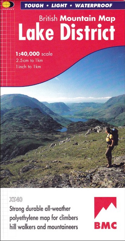
- Wandelkaart Lake District | Harvey Maps
- Waterproof mountain map of the Lake District from Harvey at 1:40,000, with a geological map of the region on the reverse, enlargements of Scafell andPillar, and advice on navigating the region safely.MAIN MAP: Topography is shown through clear altitude shading, spot heights, contours at 15m intervals, and index contours at 75m intervals. A... Read more
- Also available from:
- Stanfords, United Kingdom

Stanfords
United Kingdom
2021
United Kingdom
2021
- Lake District Harvey British Mountain Map XT40
- Waterproof mountain map of the Lake District from Harvey at 1:40,000, with a geological map of the region on the reverse, enlargements of Scafell andPillar, and advice on navigating the region safely.*MAIN MAP:* Topography is shown through clear altitude shading, spot heights, contours at 15m intervals, and index contours at 75m intervals. A... Read more
De Zwerver
Netherlands
2018
Netherlands
2018
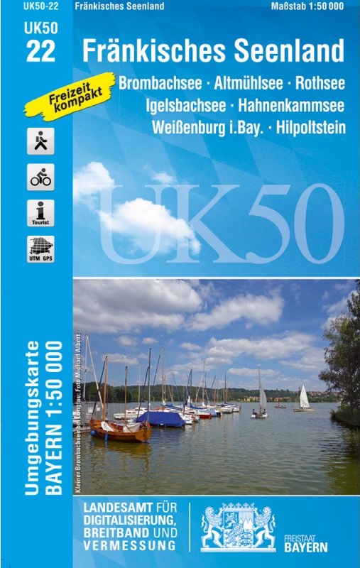
- Wandelkaart 22 UK50 Fränkisches Seenland | LVA Bayern
- Franconia Lake District, map no. 50-22 covering an area around Altmühlsee, Rothsee, Bronbachsee, Ingelsbachsee, Hahnenkamm and Dennenloher See, in a series of special contoured and GP-compatible recreational maps from the Bavarian state survey organization, with cartography of the German topographic survey at 1:50,000 and extensive additional... Read more
- Also available from:
- Stanfords, United Kingdom

Stanfords
United Kingdom
2018
United Kingdom
2018
- Franconia Lake District UK50-22
- Franconia Lake District, map no. 50-22 covering an area around Altmühlsee, Rothsee, Bronbachsee, Ingelsbachsee, Hahnenkamm and Dennenloher See, in a series of special contoured and GP-compatible recreational maps from the Bavarian state survey organization, with cartography of the German topographic survey at 1:50,000 and extensive additional... Read more
De Zwerver
Netherlands
2022
Netherlands
2022


De Zwerver
Netherlands
Netherlands
- Also available from:
- Stanfords, United Kingdom

Stanfords
United Kingdom
United Kingdom
- Berlin - Brandenburg Marco Polo Regional Map 4
- German state of Brandenburg with Berlin on an indexed road map at 1:200,000 in the MairDumont’s Marco Polo series, prominently highlighting interesting locations and protected areas. A 95-page index booklet includes for the Berlin/Postdam area street plans of central and west Berlin and Potsdam, plus enlargements of the environs at1:100,000... Read more
De Zwerver
Netherlands
2015
Netherlands
2015
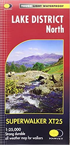
- Wandelkaart Lake District Noord | Harvey Maps
- The northern part of the Lake District at 1:25,000 on a light, waterproof and tear-resistant, GPS compatible, double-sided map from Harvey Map Services in their Superwalker series. Coverage includes Cockermouth, Keswick, Buttermere, Bassenthwaite Lake, Derwentwater, Thirlmere, Ennerdale Water, Crummock Water, the peak of Skiddaw, etc, and... Read more
- Also available from:
- Stanfords, United Kingdom

Stanfords
United Kingdom
2015
United Kingdom
2015
- Lake District North Harvey Superwalker XT25
- The northern part of the Lake District at 1:25,000 on a light, waterproof and tear-resistant map from Harvey Map Services in their Superwalker series. Coverage includes Cockermouth, Keswick, Buttermere, Bassenthwaite Lake, Derwentwater, Thirlmere, Ennerdale Water, Crummock Water, the peak of Skiddaw, etc, and extends south just beyond Ennerdale... Read more

De Zwerver
Netherlands
2020
Netherlands
2020
- Fietskaart Yorkshire Dales Touring / Nidderdale Area of NB | Harvey Maps
- Yorkshire Dales on a road map at 1:100,000 from Harvey Map Services with several enlargements showing main roads across local towns, plus descriptions of interesting locations, advice on public transport, etc. The map shows the Dales region with altitude colouring to indicate the region Read more
- Also available from:
- Stanfords, United Kingdom

Stanfords
United Kingdom
2020
United Kingdom
2020
- Yorkshire Dales Harvey Touring & Planning Map
- Yorkshire Dales on a road map at 1:100,000 from Harvey Map Services with several enlargements showing main roads across local towns, plus descriptions of interesting locations, advice on public transport, etc. The map shows the Dales region with altitude colouring to indicate the region’s topography. Long-distance trails such as the Dales Way,... Read more

De Zwerver
Netherlands
2021
Netherlands
2021
De Zwerver
Netherlands
2015
Netherlands
2015
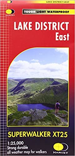
- Wandelkaart Lake District Oost | Harvey Maps
- The eastern part of the Lake District at 1:25,000 on a light, waterproof and tear-resistant, GPS compatible, double-sided map from Harvey Map Services in their Superwalker series. Coverage extends from A66 in the north to Windermere and Staveley in the south, and includes Ullswater, Haweswater, Ambleside and the northern part of Lake... Read more

De Zwerver
Netherlands
2021
Netherlands
2021
Bol.com
Netherlands
Netherlands
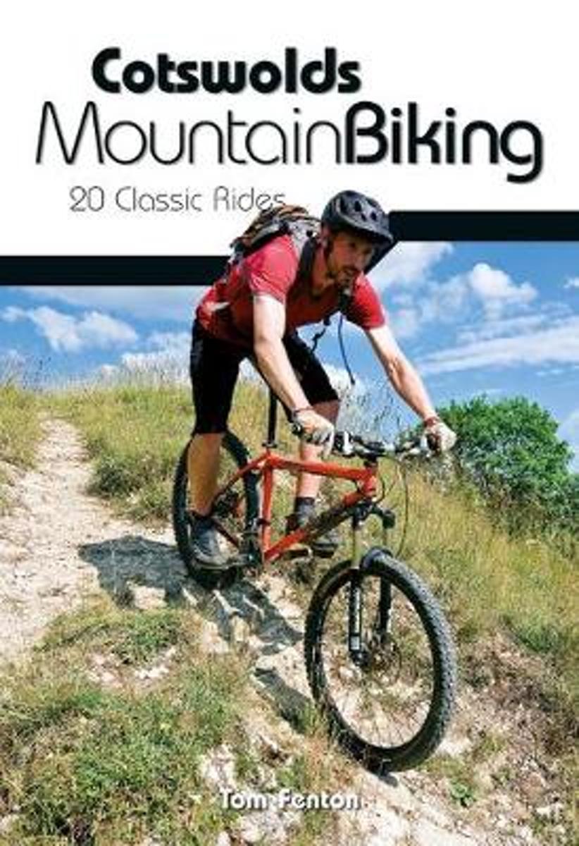
- Cotswolds Mountain Biking
- The Cotswold Hills stretch across the counties of Gloucestershire and Oxfordshire, and extend into parts of Wiltshire, Somerset, Worcestershire and Warwickshire. Cotswolds Mountain Biking - 20 Classic Rides reveals all on the excellent and varied mountain biking tucked away in this Area of Outstanding Natural Beauty. The latest title in... Read more
- Also available from:
- Bol.com, Belgium
- Stanfords, United Kingdom
Bol.com
Belgium
Belgium
- Cotswolds Mountain Biking
- The Cotswold Hills stretch across the counties of Gloucestershire and Oxfordshire, and extend into parts of Wiltshire, Somerset, Worcestershire and Warwickshire. Cotswolds Mountain Biking - 20 Classic Rides reveals all on the excellent and varied mountain biking tucked away in this Area of Outstanding Natural Beauty. The latest title in... Read more

Stanfords
United Kingdom
United Kingdom
- Cotswolds Mountain Biking : 20 Classic Rides
- Vertebrate’s guide to mountain biking in the Cotswolds covers 20 classic rides between 14km and 77km in length, suitable for mountain bikers of all abilities –many of which are within easy reach of major towns and cities, including Birmingham, Coventry, Worcester, Gloucester, Oxford, Banbury, Swindon, Cheltenham and Bristol.Each route is... Read more