
London
Beschrijving
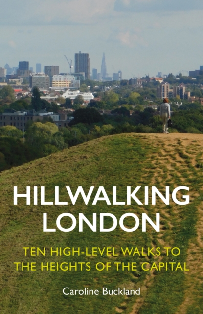
Capital of the United Kingdom. All sorts of walks. The Thames Path runs right through the city center and you can hop on the London Eye after being fooled at the ticket counter and view forward and backward on your trail.
Paden in deze regio
Links
Feiten
Verslagen
Gidsen en kaarten
Overnachting
Organisaties
Reisorganisaties
GPS
Anders
Boeken
De Zwerver
Netherlands
2019
Netherlands
2019
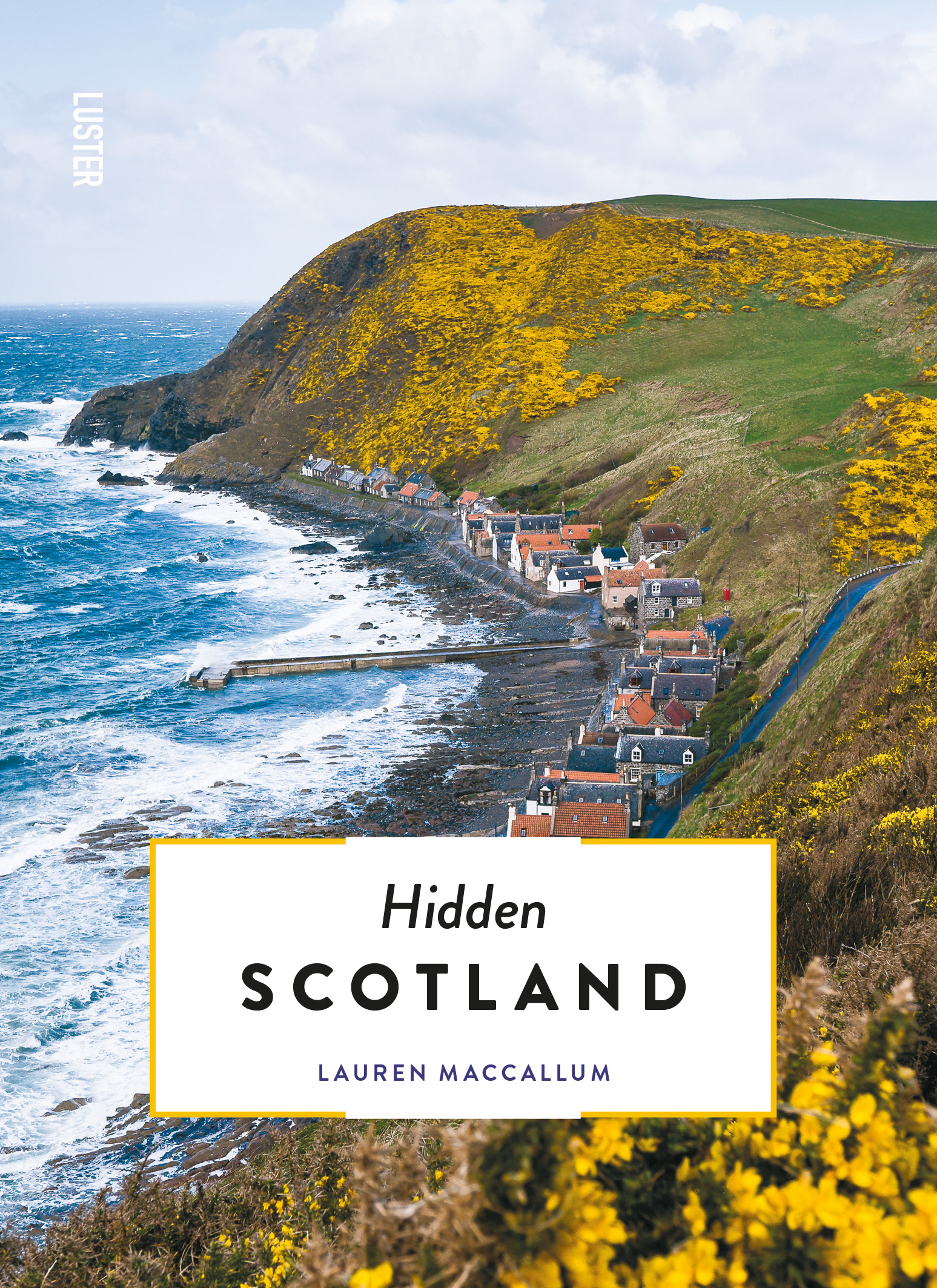
- Reisgids Hidden Scotland | Luster
- Lauren MacCallum is an outdoor lover, TV presenter and general manager of a charity. Combined those take her to some of the best corners of the great wee country that is Scotland. As a true local, Lauren wrote this guidebook to show you that Scotland is much more than the staged tourism of the Royal Mile in Edinburgh. She aims to encourage you... Read more
- Also available from:
- Stanfords, United Kingdom

Stanfords
United Kingdom
2019
United Kingdom
2019
- Hidden Scotland
- Lauren MacCallum is an outdoor lover, TV presenter and general manager of a charity. Combined those take her to some of the best corners of the great wee country that is Scotland. As a true local, Lauren wrote this guidebook to show you that Scotland is much more than the staged tourism of the Royal Mile in Edinburgh. She aims to encourage you... Read more

De Zwerver
Netherlands
2017
Netherlands
2017
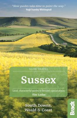
- Reisgids Slow Travel Sussex - South Downs - Weald & Coast | Bradt Travel Guides
- This new, thoroughly updated edition of Bradt`s much-praised guide to Sussex, including the South Downs, Eastern Weald and Coast offers a greater and more personal selection of places to explore and discover than any other guide. Resident expert author Tim Locke takes a leisurely, detailed approach that is highly personal, honest and critical,... Read more
- Also available from:
- Stanfords, United Kingdom
Stanfords
United Kingdom
2017
United Kingdom
2017
- Sussex (Slow Travel) Bradt Guide
- This new, thoroughly updated edition of Bradt`s much-praised guide to Sussex, including the South Downs, Eastern Weald and Coast offers a greater and more personal selection of places to explore and discover than any other guide. Resident expert author Tim Locke takes a leisurely, detailed approach that is highly personal, honest and critical,... Read more


De Zwerver
Netherlands
2016
Netherlands
2016
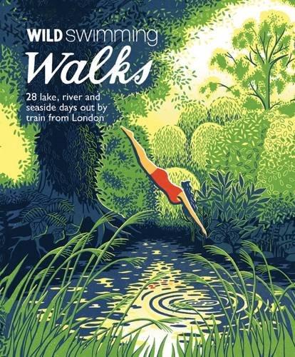
- Wandelgids Wild Swimming Walks near London | Wild Things Publishing
- 28 River, Lake and Seaside Days Out by Train from London Read more
- Also available from:
- Stanfords, United Kingdom

Stanfords
United Kingdom
2016
United Kingdom
2016
- Wild Swimming with Walks: 28 River, Lake and Seaside Days Out by Train from London
- The Kenwood Ladies’ Pond Association (created in 1985 to represents users of the Ladies’ Pond on Hampstead Heath) proudly presents their Wild Swimming Walks guide, where the ladies share their favourite ”walks with a dip ”. The book leads you to 28 adventures into the beautiful countryside of southern England. An inspiring forward section... Read more

De Zwerver
Netherlands
2020
Netherlands
2020
De Zwerver
Netherlands
2017
Netherlands
2017
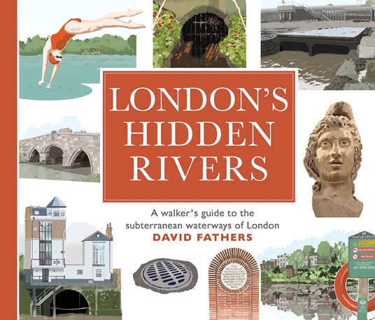
- Wandelgids London's Hidden Rivers | Frances Lincoln
- London has many rivers, but they are often hidden under centuries of development. Rivers like the Walbrook, the Fleet or the Westbourne have left their mark on the city, and still form an important part of our subterranean world. David Fathers traces the course of twelve hidden rivers in a series of detailed guided walks, illustrating the... Read more
- Also available from:
- Stanfords, United Kingdom

Stanfords
United Kingdom
2017
United Kingdom
2017
- London`s Hidden Rivers: A Walker`s Guide to the Subterranean Waterways of London
- London has many rivers, but they are often hidden under centuries of development. Rivers like the Walbrook, the Fleet or the Westbourne have left their mark on the city, and still form an important part of our subterranean world. David Fathers traces the course of twelve hidden rivers in a series of detailed guided walks, illustrating the... Read more
De Zwerver
Netherlands
2019
Netherlands
2019

De Zwerver
Netherlands
2022
Netherlands
2022
Kaarten
De Zwerver
Netherlands
2017
Netherlands
2017
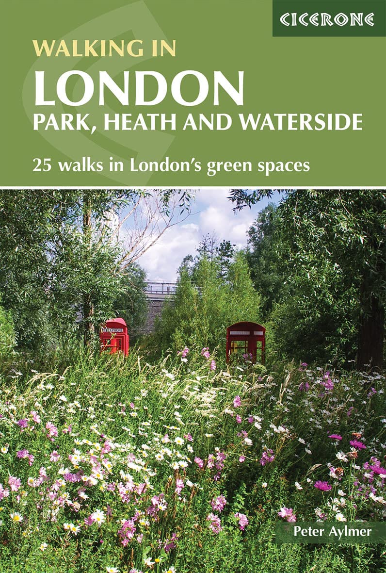
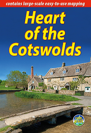
- Wandelgids Heart of the Cotswolds | Rucksack Readers
- The Cotswolds is quintessentially English, with its rich cultural history, medieval `wool` churches and charming domestic architecture of stone, slate and thatch. The book offers three options for walking in the heart of this wonderful area: a 94-mile (151-km) grand tour starting from Cheltenham, and two shorter circuits. These options cater... Read more
- Also available from:
- Stanfords, United Kingdom

Stanfords
United Kingdom
2017
United Kingdom
2017
- Heart of the Cotswolds
- The Cotswolds is quintessentially English, with its rich cultural history, medieval `wool` churches and charming domestic architecture of stone, slate and thatch. The book offers three options for walking in the heart of this wonderful area: a 94-mile (151-km) grand tour starting from Cheltenham, and two shorter circuits. These options cater... Read more
De Zwerver
Netherlands
Netherlands
- Wegenkaart - landkaart Europa - Europe | Borch
- Europa / Europe 1 : 4 000 000 ab 9.9 EURO Europe 1 : 4 000 000, Europe North, London, Paris, Rome/Roma / updated / durable / water-repellent / write-on/wipe-off surface Borch Maps. 15. Auflage Read more
De Zwerver
Netherlands
Netherlands

Bol.com
Netherlands
2017
Netherlands
2017
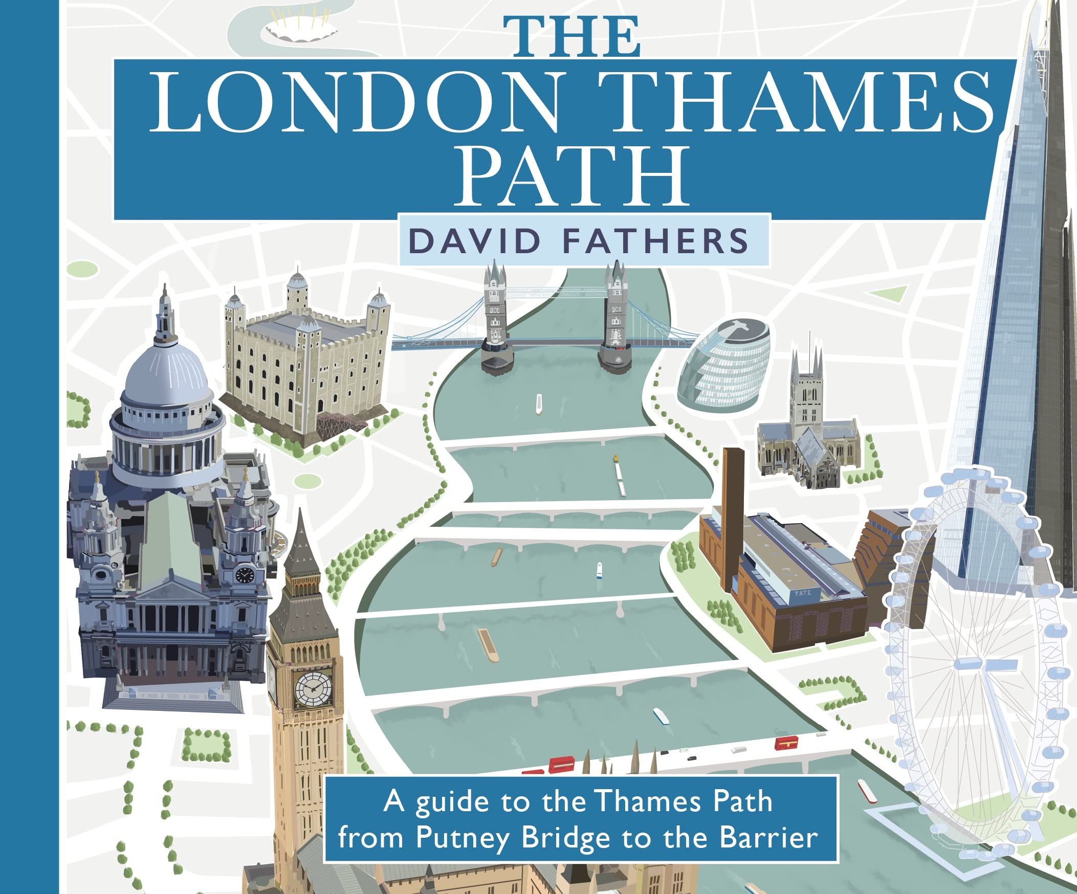
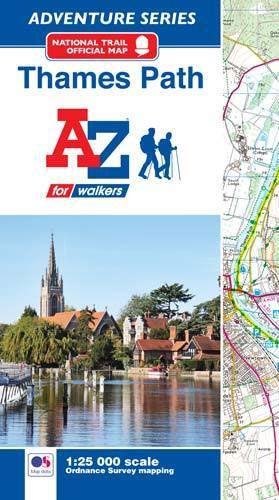
- Thames Path Adventure Atlas
- The A-Z Adventure series features the accuracy and quality of Ordnance Survey`s Explorer mapping in a convenient book, therefore eliminating the need to fold and re-fold a large sheet map to the desired area. OS Explorer is Ordnance Survey`s most detailed mapping at a scale of 1:25 000 showing public rights of way, open access land, national... Read more
- Also available from:
- Bol.com, Belgium
- Stanfords, United Kingdom
Bol.com
Belgium
2017
Belgium
2017
- Thames Path Adventure Atlas
- The A-Z Adventure series features the accuracy and quality of Ordnance Survey`s Explorer mapping in a convenient book, therefore eliminating the need to fold and re-fold a large sheet map to the desired area. OS Explorer is Ordnance Survey`s most detailed mapping at a scale of 1:25 000 showing public rights of way, open access land, national... Read more
Stanfords
United Kingdom
2017
United Kingdom
2017
- Thames Path A-Z Adventure Atlas
- The A-Z Adventure series features the accuracy and quality of Ordnance Survey`s Explorer mapping in a convenient book, therefore eliminating the need to fold and re-fold a large sheet map to the desired area. OS Explorer is Ordnance Survey`s most detailed mapping at a scale of 1:25 000 showing public rights of way, open access land, national... Read more
De Zwerver
Netherlands
Netherlands
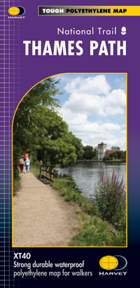
- Wandelkaart Thames Path | Harvey Maps
- Mooie, duidelijke kaart van het Thames Path in Engeland. Geplastificeerd met veel extra informatie en uitsnedes van de route. Thames Path National Trail The Thames Path follows the banks of the river for 184 miles (294KM) from the flood barrier at Woolwich in South East London to Kemble Gloucestershire. It is a long distance walking route, most... Read more
- Also available from:
- Bol.com, Netherlands
- Bol.com, Belgium
- The Book Depository, United Kingdom

Bol.com
Netherlands
Netherlands
- Thames Path
- Mooie, duidelijke kaart van het Thames Path in Engeland. Geplastificeerd met veel extra informatie en uitsnedes van de route. Thames Path National Trail The Thames Path follows the banks of the river for 184 miles (294KM) from the flood barrier at Woolwich in South East London to Kemble Gloucestershire. It is a long distance walking route, most... Read more
Bol.com
Belgium
Belgium
- Thames Path
- Mooie, duidelijke kaart van het Thames Path in Engeland. Geplastificeerd met veel extra informatie en uitsnedes van de route. Thames Path National Trail The Thames Path follows the banks of the river for 184 miles (294KM) from the flood barrier at Woolwich in South East London to Kemble Gloucestershire. It is a long distance walking route, most... Read more

The Book Depository
United Kingdom
United Kingdom
- Thames Path
- Mooie, duidelijke kaart van het Thames Path in Engeland. Geplastificeerd met veel extra informatie en uitsnedes van de route. Thames Path National Trail The Thames Path follows the banks of the river for 184 miles (294KM) from the flood barrier at Woolwich in South East London to Kemble Gloucestershire. It is a long distance walking route, most... Read more

De Zwerver
Netherlands
Netherlands
- Wandelkaart WKE2 La Palma | Freytag & Berndt
- Uitstekende wandelkaart van La Palma, tweezijdig, met ingetekende routes, hoogtelijnen en andere belangrijke informatie. Ook met fietsroutes, bovendien GPS geschikt! Read more
- Also available from:
- Bol.com, Netherlands
- Bol.com, Belgium
- The Book Depository, United Kingdom

Bol.com
Netherlands
Netherlands
- FB WKE2 La Palma
- Dubbelzijdige wandel- en vrijetijdskaart • toeristische tips • stadsplattegronden • fietspaden en mountainbikeroutes • GPS-punten • ski- en langlaufroutes Read more
Bol.com
Belgium
Belgium
- FB WKE2 La Palma
- Dubbelzijdige wandel- en vrijetijdskaart • toeristische tips • stadsplattegronden • fietspaden en mountainbikeroutes • GPS-punten • ski- en langlaufroutes Read more

The Book Depository
United Kingdom
United Kingdom
- La Palma Hiking + Leisure Map 1:30 000
- Uitstekende wandelkaart van La Palma, tweezijdig, met ingetekende routes, hoogtelijnen en andere belangrijke informatie. Ook met fietsroutes, bovendien GPS geschikt! Read more

Bol.com
Netherlands
Netherlands
- England Coast Path Camber to Folkestone Adventure Map
- The A-Z Adventure Series of maps combines the best of OS and A-Z, creating the perfect companion for walkers, off-road cyclists, horse riders and anyone wishing to explore the great outdoors.This official Camber to Folkestone Adventure Map section of the England Coast Path, a new National Trail around England`s coast. More than just a path, it... Read more
- Also available from:
- Bol.com, Belgium
- Stanfords, United Kingdom
Bol.com
Belgium
Belgium
- England Coast Path Camber to Folkestone Adventure Map
- The A-Z Adventure Series of maps combines the best of OS and A-Z, creating the perfect companion for walkers, off-road cyclists, horse riders and anyone wishing to explore the great outdoors.This official Camber to Folkestone Adventure Map section of the England Coast Path, a new National Trail around England`s coast. More than just a path, it... Read more

Stanfords
United Kingdom
United Kingdom
- England Coast Path - Camber to Folkestone Adventure Map
- The A-Z Adventure Series of maps combines the best of OS and A-Z, creating the perfect companion for walkers, off-road cyclists, horse riders and anyone wishing to explore the great outdoors.This official Camber to Folkestone Adventure Map section of the England Coast Path, a new National Trail around England`s coast. More than just a path, it... Read more

Bol.com
Netherlands
Netherlands
- England Coast Path Folkestone to Ramsgate Adventure Map
- The A-Z Adventure Series of maps combines the best of OS and A-Z, creating the perfect companion for walkers, off-road cyclists, horse riders and anyone wishing to explore the great outdoors.This official Folkestone to Ramsgate Adventure Map section of the England Coast Path, a new National Trail around England`s coast. More than just a path,... Read more
- Also available from:
- Bol.com, Belgium
Bol.com
Belgium
Belgium
- England Coast Path Folkestone to Ramsgate Adventure Map
- The A-Z Adventure Series of maps combines the best of OS and A-Z, creating the perfect companion for walkers, off-road cyclists, horse riders and anyone wishing to explore the great outdoors.This official Folkestone to Ramsgate Adventure Map section of the England Coast Path, a new National Trail around England`s coast. More than just a path,... Read more
Stanfords
United Kingdom
United Kingdom
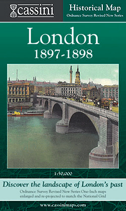
- London 1897-1898
- London in 1897-1898 in the Cassini Historical Series reproducing old Ordnance Survey mapping of England and Wales at 1:50,000. The four London maps cover roughly the area of the present day Greater London rather than following the format of rest of the series which is designed to correspond to the current Landranger maps. Mapping is identical... Read more

Stanfords
United Kingdom
United Kingdom
- London East 1805-1922 (3-map set)
- Map No. 177, London East 1805-1922 (3-map set), in the Cassini Historical Series of old Ordnance Survey mapping of England and Wales at 1:50,000 in a format designed to offer a convenient comparison with the present day coverage from the OS, and most locations in three different editions. Old historical maps have been combined so that the sheet... Read more

Stanfords
United Kingdom
United Kingdom
- Luxembourg South
- One of two topographic survey maps of Luxembourg at 1:50,000, with contours at 10-metres intervals and additional relief shading. An overprint highlights long-distance footpaths, including the GR5 (E-2), cycle routes, and various places of interest, including campsites. The map covers an area of approximately 53 x 43 km / 33 x 27 miles. Map... Read more