
Oxfordshire
Beschrijving
County in South East England. Popular trails are the Oxfordshire Way and the Thames Path.
Paden in deze regio
Links
Feiten
Verslagen
Gidsen en kaarten
Overnachting
Organisaties
Reisorganisaties
GPS
Anders
Boeken
De Zwerver
Netherlands
2023
Netherlands
2023
De Zwerver
Netherlands
2019
Netherlands
2019
De Zwerver
Netherlands
2008
Netherlands
2008
- Wandelgids Walking in the Thames Valley | Cicerone
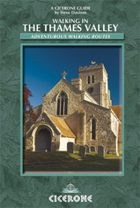
- Walking in the Thames Valley describes 25 adventurous day walks in the area covering the North Hampshire Downs, Berkshire and the Southern Chilterns with easy access to London and Reading. The circular walks vary from 10 to 18 miles, including one two-day walk, as well as shorter route options for those who want a less strenuous day out. Read more

De Zwerver
Netherlands
Netherlands
- Also available from:
- Stanfords, United Kingdom

Stanfords
United Kingdom
United Kingdom
- Birmingham, Wolverhampton & The Black Country OS Landranger Map 139 (paper)
- Birmingham with the surrounding area including the Black Country, Wolverhampton, Walsall, Solihull, Stourbridge, Bromsgrove and a section of the E2 European Long-distance Path on a paper version of map No. 139 from the Ordnance Survey’s Landranger series at 1:50,000, with contoured and GPS compatible topographic mapping plus tourist... Read more

De Zwerver
Netherlands
Netherlands
- Also available from:
- Stanfords, United Kingdom

Stanfords
United Kingdom
United Kingdom
- Kettering, Corby, Market Harborough & Stamford OS Landranger Map 141 (paper)
- The area around Kettering, Corby, Market Harborough and Stamford, including Rockingham Forest and part of the E2 European Long-distance Path, on a paper version of map No. 141 from the Ordnance Survey’s Landranger series at 1:50,000, with contoured and GPS compatible topographic mapping plus tourist information.MOBILE DOWNLOADS: As well as the... Read more

De Zwerver
Netherlands
Netherlands
- Also available from:
- Stanfords, United Kingdom

Stanfords
United Kingdom
United Kingdom
- Reading & Windsor - Henley-on-Thames & Bracknell OS Landranger Map 175 (paper)
- Reading – Windsor area, including a section of the Thames Path / E2 European Long-distance Path, on a paper version of map No. 175 from the Ordnance Survey’s Landranger series at 1:50,000, with contoured and GPS compatible topographic mapping plus tourist information.MOBILE DOWNLOADS: As well as the physical edition of the map, each Landranger... Read more
De Zwerver
Netherlands
2016
Netherlands
2016
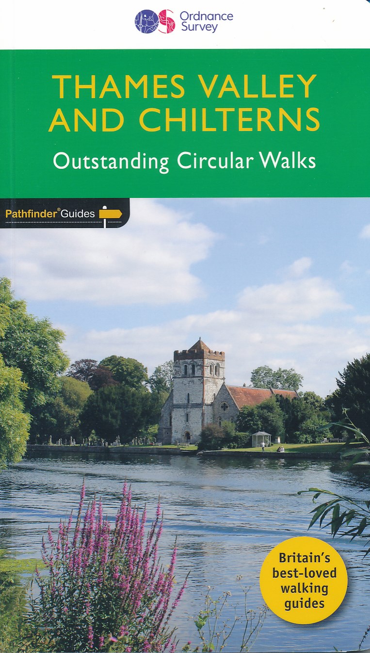
- Wandelgids 25 Pathfinder Guides Thames Valley and Chilterns | Ordnance Survey
- The Chilterns form part of the long line of chalk hills stretching intermittently across southern and eastern England. It is an area characterised by beech woods and dry valleys, and these natural features are explored in the routes. The Thames Valley is steeped in history, from Windsor Castle and Richmond Park to Runnymede Meadows, where the... Read more
- Also available from:
- Bol.com, Netherlands
- Bol.com, Belgium
- The Book Depository, United Kingdom
Bol.com
Netherlands
2016
Netherlands
2016
- Thames Valley & Chilterns
- The Chilterns form part of the long line of chalk hills stretching intermittently across southern and eastern England. It is an area characterised by beech woods and dry valleys, and these natural features are explored in the routes. The Thames Valley is steeped in history, from Windsor Castle and Richmond Park to Runnymede Meadows, where the... Read more
Bol.com
Belgium
2016
Belgium
2016
- Thames Valley & Chilterns
- The Chilterns form part of the long line of chalk hills stretching intermittently across southern and eastern England. It is an area characterised by beech woods and dry valleys, and these natural features are explored in the routes. The Thames Valley is steeped in history, from Windsor Castle and Richmond Park to Runnymede Meadows, where the... Read more

The Book Depository
United Kingdom
2016
United Kingdom
2016
- Thames Valley & Chilterns
- The Chilterns form part of the long line of chalk hills stretching intermittently across southern and eastern England. It is an area characterised by beech woods and dry valleys, and these natural features are explored in the routes. The Thames Valley is steeped in history, from Windsor Castle and Richmond Park to Runnymede Meadows, where the... Read more
Bol.com
Netherlands
2013
Netherlands
2013
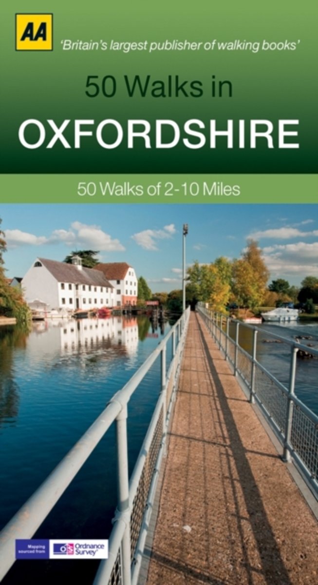
- 50 Walks in Oxfordshire
- Walking is one of Britain's favourite leisure activities, and this fantastic walking guide to Oxfordshire features a variety of mapped walks to suit all abilities. The book features all the practical detail you need, accompanied by fascinating background reading on the history and wildlife of the area, as well as other local points of interest.... Read more
- Also available from:
- Bol.com, Belgium
Bol.com
Belgium
2013
Belgium
2013
- 50 Walks in Oxfordshire
- Walking is one of Britain's favourite leisure activities, and this fantastic walking guide to Oxfordshire features a variety of mapped walks to suit all abilities. The book features all the practical detail you need, accompanied by fascinating background reading on the history and wildlife of the area, as well as other local points of interest.... Read more

- Also available from:
- Bol.com, Netherlands
- Bol.com, Belgium
- The Book Depository, United Kingdom
Bol.com
Netherlands
2016
Netherlands
2016
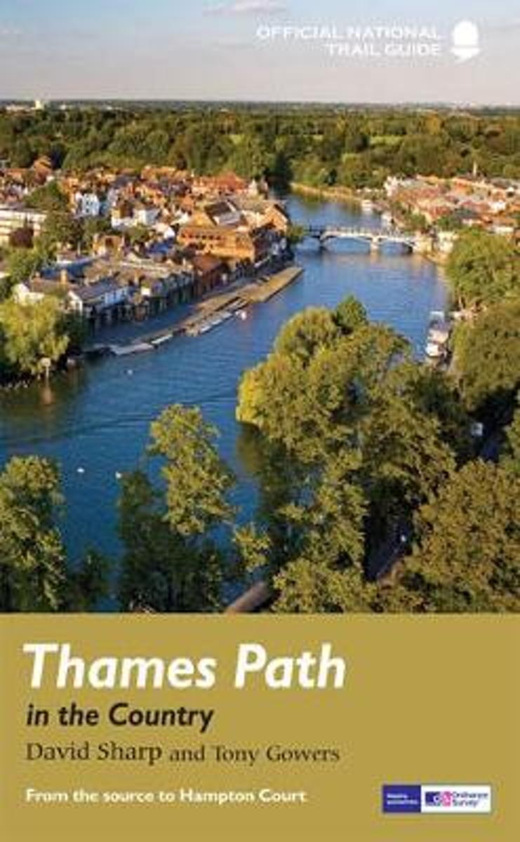
- Thames Path in the Country
- The official guide to the riverside path from its Gloucestershire source all the way to the outskirts of London. With the London Thames now covered by Aurum' s separate new guide, a companion volume can concentrate on the appeal of the full 150 miles of the country Thames, which winds all the way from its Gloucestershire source near Cirencester... Read more
Bol.com
Belgium
2016
Belgium
2016
- Thames Path in the Country
- The official guide to the riverside path from its Gloucestershire source all the way to the outskirts of London. With the London Thames now covered by Aurum' s separate new guide, a companion volume can concentrate on the appeal of the full 150 miles of the country Thames, which winds all the way from its Gloucestershire source near Cirencester... Read more

Bol.com
Netherlands
2016
Netherlands
2016
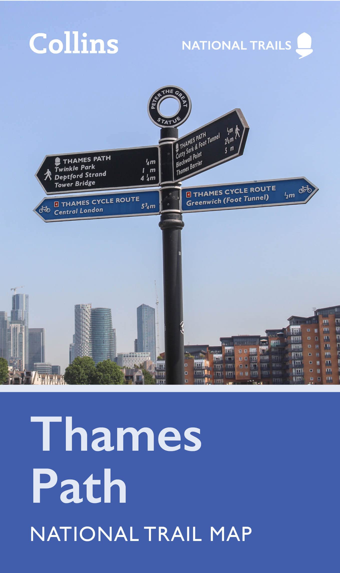
- The Thames Path
- A guidebook to walking the Thames Path, a 180-mile National Trail from the Thames Barrier to the river's source in near Cirencester, passing from central London through Windsor, Henley, and Oxford, and rural countryside. Described in 20 sections, of between 4 and 16 miles (6.5-32km), it is an mainly flat route with good access by public... Read more
- Also available from:
- Bol.com, Belgium
- Stanfords, United Kingdom
- The Book Depository, United Kingdom
Bol.com
Belgium
2016
Belgium
2016
- The Thames Path
- A guidebook to walking the Thames Path, a 180-mile National Trail from the Thames Barrier to the river's source in near Cirencester, passing from central London through Windsor, Henley, and Oxford, and rural countryside. Described in 20 sections, of between 4 and 16 miles (6.5-32km), it is an mainly flat route with good access by public... Read more

Stanfords
United Kingdom
2016
United Kingdom
2016
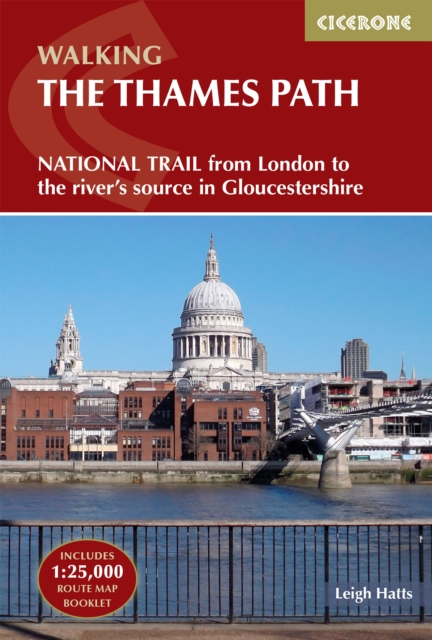
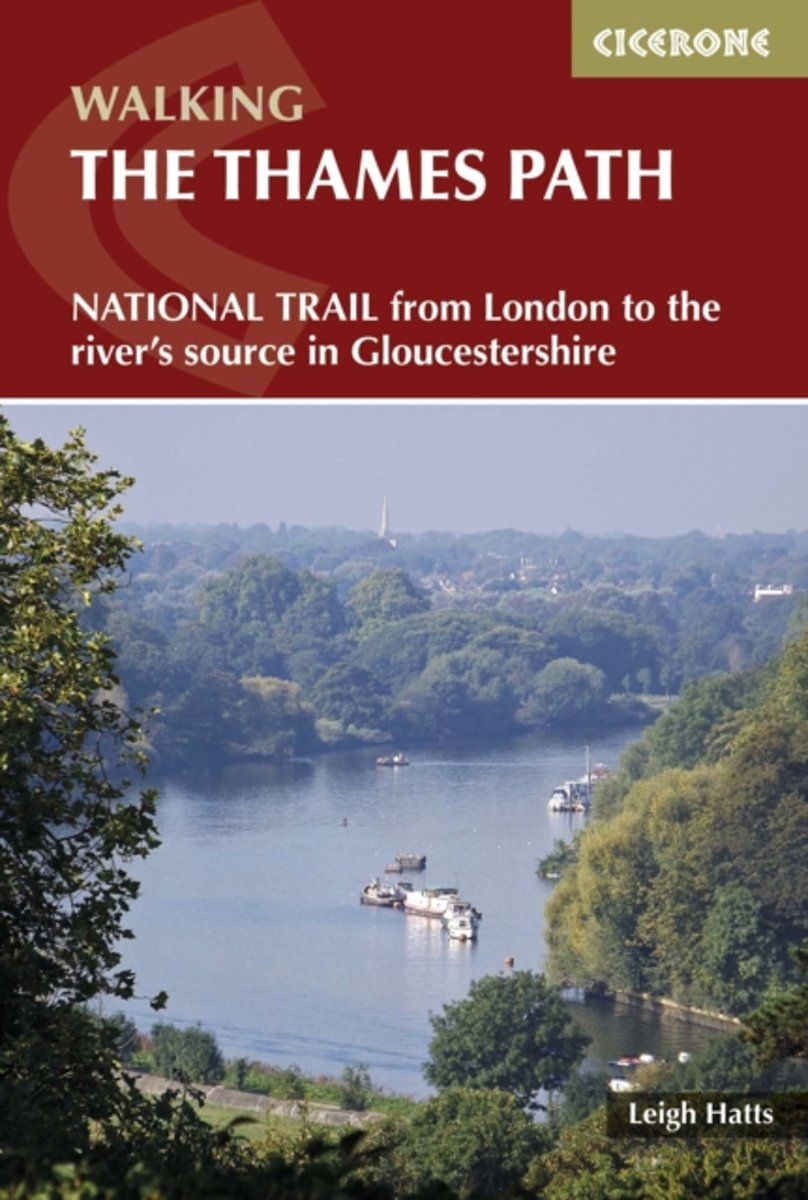
- Thames Path:National Trail from London to the river`s source in Gloucestershire
- A guidebook to walking the Thames Path, a 180-mile National Trail from the Thames Barrier to the river`s source in near Cirencester, passing from central London through Windsor, Henley, and Oxford, and rural countryside. Described in 20 sections, of between 4 and 16 miles (6.5-32km), it is an mainly flat route with good access by public... Read more

The Book Depository
United Kingdom
2016
United Kingdom
2016
- The Thames Path
- National Trail from London to the river's source in Gloucestershire Read more
De Zwerver
Netherlands
2006
Netherlands
2006
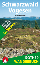
- Wandelgids Schwarzwald - Vogesen | Rother Bergverlag
- Uitstekende wandelgids van het Zwarte Woud en een deel van de Vogezen. Nauwkeurig beschreven met praktische info per tocht. De ‘Rother Wanderbücher’ behandelen telkens de 50 mooiste wandelingen, die variëren van eenvoudige kindvriendelijke wandelingen tot routes die aanzienlijk meer ervaring vereisen. Uitvoerige routebeschrijvingen, een... Read more
- Also available from:
- Bol.com, Netherlands
- Bol.com, Belgium
Bol.com
Netherlands
2006
Netherlands
2006
- Schwarzwald - Vogesen
- Die schönsten und spannendsten Wanderberge im Schwarzwald und in den Vogesen präsentiert dieser Führer in einer Auswahl von 50 Wandervorschlägen für jede Kondition. Vom alpinen Steig am Feldberg, der höchsten Erhebung der deutschen Mittelgebirge, spannt sich der Bogen bis zum Grand Ballon, dem höchsten Berg der Vogesen, vom Belchen als dem... Read more
Bol.com
Belgium
2006
Belgium
2006
- Schwarzwald - Vogesen
- Die schönsten und spannendsten Wanderberge im Schwarzwald und in den Vogesen präsentiert dieser Führer in einer Auswahl von 50 Wandervorschlägen für jede Kondition. Vom alpinen Steig am Feldberg, der höchsten Erhebung der deutschen Mittelgebirge, spannt sich der Bogen bis zum Grand Ballon, dem höchsten Berg der Vogesen, vom Belchen als dem... Read more
Bol.com
Netherlands
Netherlands
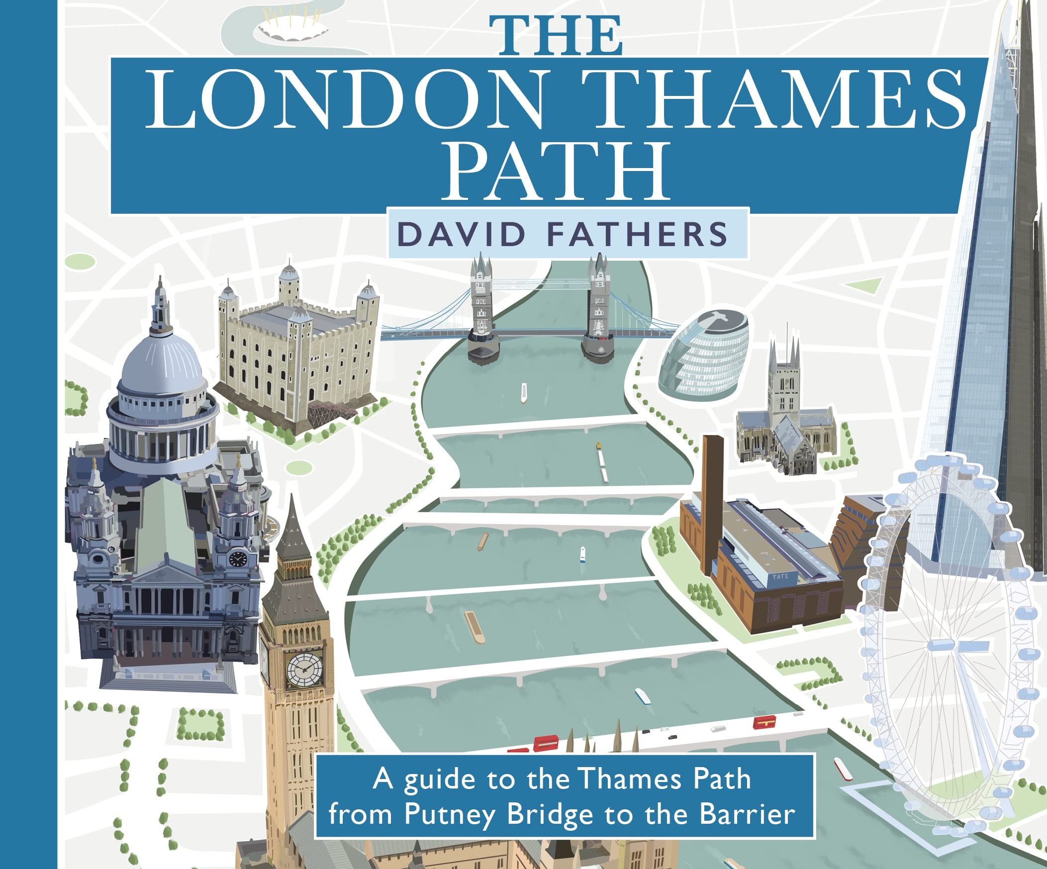
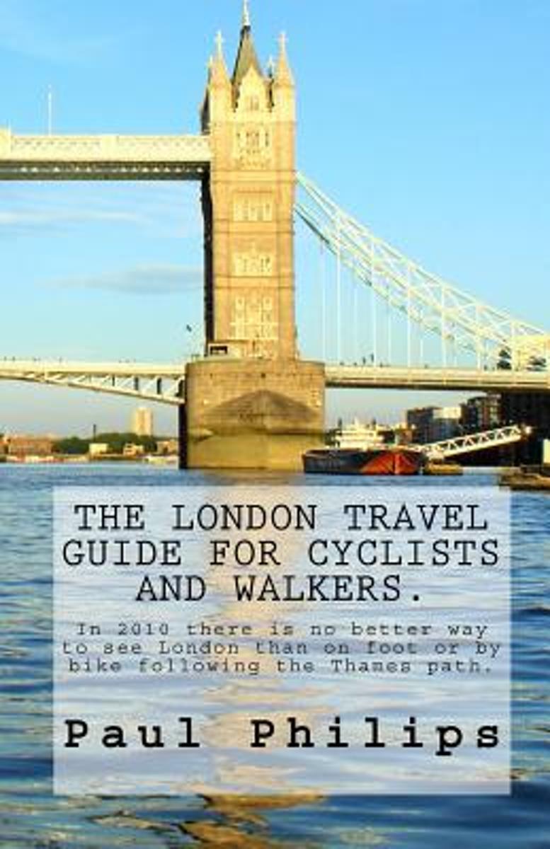
- The London Travel Guide for Cyclists and Walkers.
- This guide - edition 2010 - is for visitors who like to explore this famous City of London by bike or on foot beyond the traditional places of interest.It follows the mostly traffic free Thames Path from the Tower Bridge in London to royal Richmond upon Thames, the home of Mick Jagger. The Thames is the historic main artery of London with many... Read more
- Also available from:
- Bol.com, Belgium
Bol.com
Belgium
Belgium
- The London Travel Guide for Cyclists and Walkers.
- This guide - edition 2010 - is for visitors who like to explore this famous City of London by bike or on foot beyond the traditional places of interest.It follows the mostly traffic free Thames Path from the Tower Bridge in London to royal Richmond upon Thames, the home of Mick Jagger. The Thames is the historic main artery of London with many... Read more
Bol.com
Netherlands
Netherlands
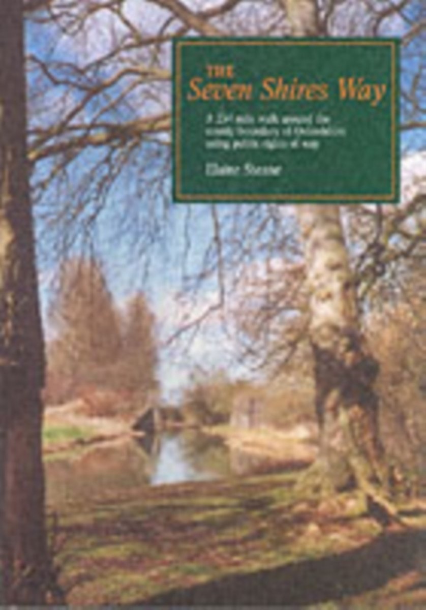
- The Seven Shires Way
- The Seven Shires Way is a 234-mile long walk around the Oxfordshire county boundary. It criss-crosses the boundary taking the walker into seven shires from Gloucestershire to Oxfordshire, Warwickshire, Northamptonshire, Buckinghamshire, Berkshire and Wiltshire. The path passes through a wide variation of scenery: from the marlstone scarp slope... Read more
- Also available from:
- Bol.com, Belgium
Bol.com
Belgium
Belgium
- The Seven Shires Way
- The Seven Shires Way is a 234-mile long walk around the Oxfordshire county boundary. It criss-crosses the boundary taking the walker into seven shires from Gloucestershire to Oxfordshire, Warwickshire, Northamptonshire, Buckinghamshire, Berkshire and Wiltshire. The path passes through a wide variation of scenery: from the marlstone scarp slope... Read more
Kaarten

Bol.com
Netherlands
Netherlands
- England Coast Path Folkestone to Ramsgate Adventure Map
- The A-Z Adventure Series of maps combines the best of OS and A-Z, creating the perfect companion for walkers, off-road cyclists, horse riders and anyone wishing to explore the great outdoors.This official Folkestone to Ramsgate Adventure Map section of the England Coast Path, a new National Trail around England`s coast. More than just a path,... Read more
- Also available from:
- Bol.com, Belgium
Bol.com
Belgium
Belgium
- England Coast Path Folkestone to Ramsgate Adventure Map
- The A-Z Adventure Series of maps combines the best of OS and A-Z, creating the perfect companion for walkers, off-road cyclists, horse riders and anyone wishing to explore the great outdoors.This official Folkestone to Ramsgate Adventure Map section of the England Coast Path, a new National Trail around England`s coast. More than just a path,... Read more
De Zwerver
Netherlands
Netherlands
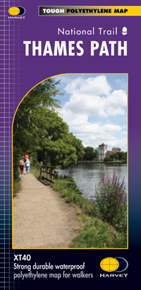
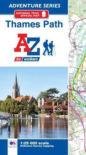
- Wandelkaart Thames Path | Harvey Maps
- Mooie, duidelijke kaart van het Thames Path in Engeland. Geplastificeerd met veel extra informatie en uitsnedes van de route. Thames Path National Trail The Thames Path follows the banks of the river for 184 miles (294KM) from the flood barrier at Woolwich in South East London to Kemble Gloucestershire. It is a long distance walking route, most... Read more
- Also available from:
- Bol.com, Netherlands
- Bol.com, Belgium
- The Book Depository, United Kingdom

Bol.com
Netherlands
Netherlands
- Thames Path
- Mooie, duidelijke kaart van het Thames Path in Engeland. Geplastificeerd met veel extra informatie en uitsnedes van de route. Thames Path National Trail The Thames Path follows the banks of the river for 184 miles (294KM) from the flood barrier at Woolwich in South East London to Kemble Gloucestershire. It is a long distance walking route, most... Read more
Bol.com
Belgium
Belgium
- Thames Path
- Mooie, duidelijke kaart van het Thames Path in Engeland. Geplastificeerd met veel extra informatie en uitsnedes van de route. Thames Path National Trail The Thames Path follows the banks of the river for 184 miles (294KM) from the flood barrier at Woolwich in South East London to Kemble Gloucestershire. It is a long distance walking route, most... Read more

The Book Depository
United Kingdom
United Kingdom
- Thames Path
- Mooie, duidelijke kaart van het Thames Path in Engeland. Geplastificeerd met veel extra informatie en uitsnedes van de route. Thames Path National Trail The Thames Path follows the banks of the river for 184 miles (294KM) from the flood barrier at Woolwich in South East London to Kemble Gloucestershire. It is a long distance walking route, most... Read more
Bol.com
Netherlands
Netherlands
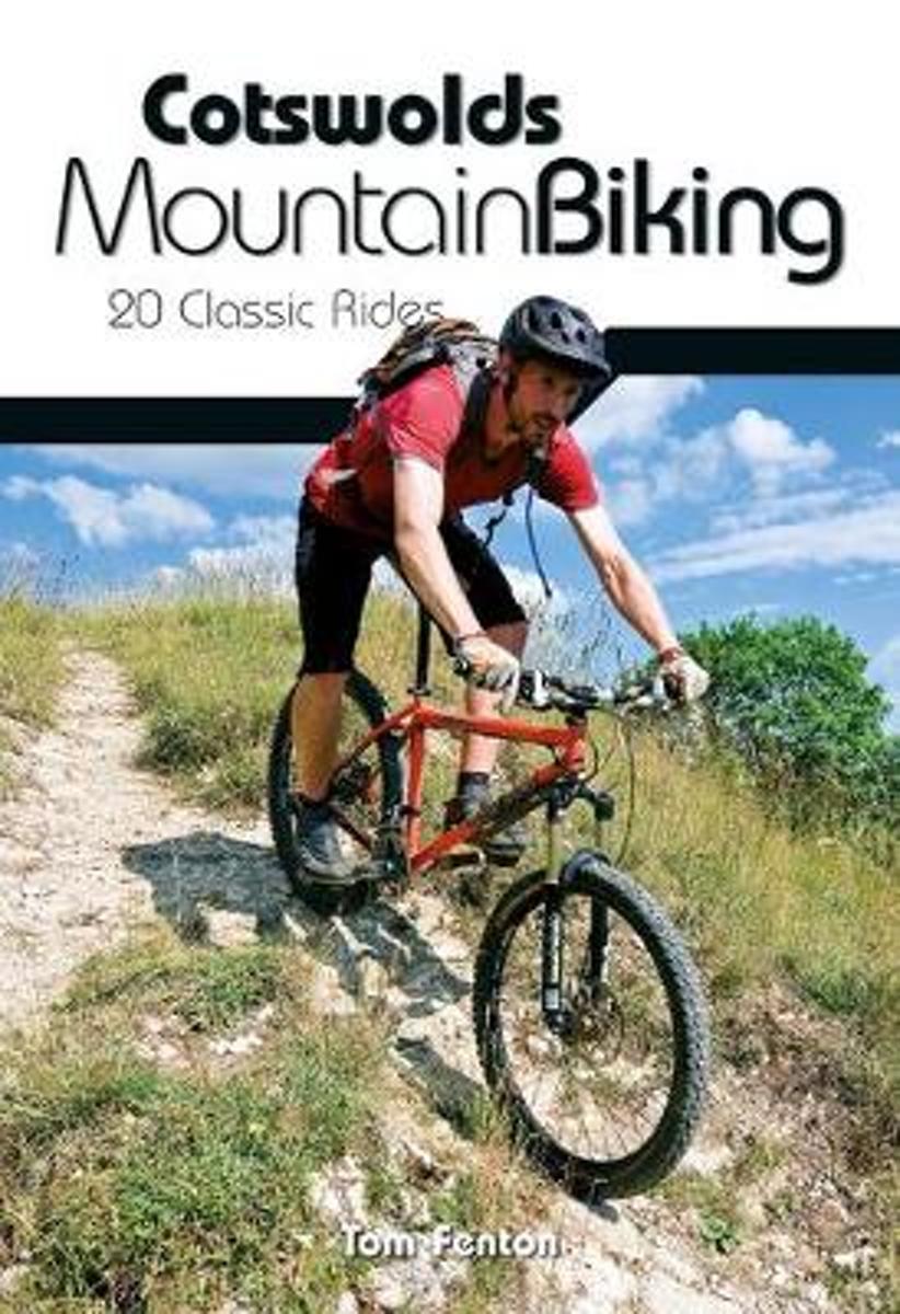
- Cotswolds Mountain Biking
- The Cotswold Hills stretch across the counties of Gloucestershire and Oxfordshire, and extend into parts of Wiltshire, Somerset, Worcestershire and Warwickshire. Cotswolds Mountain Biking - 20 Classic Rides reveals all on the excellent and varied mountain biking tucked away in this Area of Outstanding Natural Beauty. The latest title in... Read more
- Also available from:
- Bol.com, Belgium
- Stanfords, United Kingdom
Bol.com
Belgium
Belgium
- Cotswolds Mountain Biking
- The Cotswold Hills stretch across the counties of Gloucestershire and Oxfordshire, and extend into parts of Wiltshire, Somerset, Worcestershire and Warwickshire. Cotswolds Mountain Biking - 20 Classic Rides reveals all on the excellent and varied mountain biking tucked away in this Area of Outstanding Natural Beauty. The latest title in... Read more

Stanfords
United Kingdom
United Kingdom
- Cotswolds Mountain Biking : 20 Classic Rides
- Vertebrate’s guide to mountain biking in the Cotswolds covers 20 classic rides between 14km and 77km in length, suitable for mountain bikers of all abilities –many of which are within easy reach of major towns and cities, including Birmingham, Coventry, Worcester, Gloucester, Oxford, Banbury, Swindon, Cheltenham and Bristol.Each route is... Read more

De Zwerver
Netherlands
Netherlands
- Wandelkaart WKE2 La Palma | Freytag & Berndt
- Uitstekende wandelkaart van La Palma, tweezijdig, met ingetekende routes, hoogtelijnen en andere belangrijke informatie. Ook met fietsroutes, bovendien GPS geschikt! Read more
- Also available from:
- Bol.com, Netherlands
- Bol.com, Belgium
- The Book Depository, United Kingdom

Bol.com
Netherlands
Netherlands
- FB WKE2 La Palma
- Dubbelzijdige wandel- en vrijetijdskaart • toeristische tips • stadsplattegronden • fietspaden en mountainbikeroutes • GPS-punten • ski- en langlaufroutes Read more
Bol.com
Belgium
Belgium
- FB WKE2 La Palma
- Dubbelzijdige wandel- en vrijetijdskaart • toeristische tips • stadsplattegronden • fietspaden en mountainbikeroutes • GPS-punten • ski- en langlaufroutes Read more

The Book Depository
United Kingdom
United Kingdom
- La Palma Hiking + Leisure Map 1:30 000
- Uitstekende wandelkaart van La Palma, tweezijdig, met ingetekende routes, hoogtelijnen en andere belangrijke informatie. Ook met fietsroutes, bovendien GPS geschikt! Read more
Bol.com
Netherlands
2017
Netherlands
2017
- Thames Path Adventure Atlas
- The A-Z Adventure series features the accuracy and quality of Ordnance Survey`s Explorer mapping in a convenient book, therefore eliminating the need to fold and re-fold a large sheet map to the desired area. OS Explorer is Ordnance Survey`s most detailed mapping at a scale of 1:25 000 showing public rights of way, open access land, national... Read more
- Also available from:
- Bol.com, Belgium
- Stanfords, United Kingdom
Bol.com
Belgium
2017
Belgium
2017
- Thames Path Adventure Atlas
- The A-Z Adventure series features the accuracy and quality of Ordnance Survey`s Explorer mapping in a convenient book, therefore eliminating the need to fold and re-fold a large sheet map to the desired area. OS Explorer is Ordnance Survey`s most detailed mapping at a scale of 1:25 000 showing public rights of way, open access land, national... Read more
Stanfords
United Kingdom
2017
United Kingdom
2017
- Thames Path A-Z Adventure Atlas
- The A-Z Adventure series features the accuracy and quality of Ordnance Survey`s Explorer mapping in a convenient book, therefore eliminating the need to fold and re-fold a large sheet map to the desired area. OS Explorer is Ordnance Survey`s most detailed mapping at a scale of 1:25 000 showing public rights of way, open access land, national... Read more

Bol.com
Netherlands
Netherlands
- England Coast Path Camber to Folkestone Adventure Map
- The A-Z Adventure Series of maps combines the best of OS and A-Z, creating the perfect companion for walkers, off-road cyclists, horse riders and anyone wishing to explore the great outdoors.This official Camber to Folkestone Adventure Map section of the England Coast Path, a new National Trail around England`s coast. More than just a path, it... Read more
- Also available from:
- Bol.com, Belgium
- Stanfords, United Kingdom
Bol.com
Belgium
Belgium
- England Coast Path Camber to Folkestone Adventure Map
- The A-Z Adventure Series of maps combines the best of OS and A-Z, creating the perfect companion for walkers, off-road cyclists, horse riders and anyone wishing to explore the great outdoors.This official Camber to Folkestone Adventure Map section of the England Coast Path, a new National Trail around England`s coast. More than just a path, it... Read more

Stanfords
United Kingdom
United Kingdom
- England Coast Path - Camber to Folkestone Adventure Map
- The A-Z Adventure Series of maps combines the best of OS and A-Z, creating the perfect companion for walkers, off-road cyclists, horse riders and anyone wishing to explore the great outdoors.This official Camber to Folkestone Adventure Map section of the England Coast Path, a new National Trail around England`s coast. More than just a path, it... Read more

Stanfords
United Kingdom
United Kingdom
- Luxembourg North
- One of two topographic survey maps of Luxembourg at 1:50,000, with contours at 10-metres intervals and additional relief shading. An overprint highlights long-distance footpaths, including the GR5 (E-2), cycle routes, and various places of interest, including campsites. The map covers an area of approximately 53 x 43 km / 33 x 27 miles. Map... Read more

Stanfords
United Kingdom
United Kingdom
- Luxembourg South
- One of two topographic survey maps of Luxembourg at 1:50,000, with contours at 10-metres intervals and additional relief shading. An overprint highlights long-distance footpaths, including the GR5 (E-2), cycle routes, and various places of interest, including campsites. The map covers an area of approximately 53 x 43 km / 33 x 27 miles. Map... Read more

Stanfords
United Kingdom
United Kingdom
- England Coast Path Adventure Map - Minehead to Brean Down
- The A-Z Adventure Series of maps combines the best of OS and A-Z, creating the perfect companion for walkers, off-road cyclists, horse riders and anyone wishing to explore the great outdoors.This official Minehead to Brean Down Adventure Map covers a 58 mile (93km) section of the England Coast Path, a new National Trail around England`s coast.... Read more