
Scotland
Beschrijving
Kaart


Paden in deze landsdeel
- Annandale WayGPX
- Arran Coastal WayGPX
- Borders Abbeys WayGPX
- Cape Wrath TrailGPX
- Cateran TrailGPX
- Cowal WayGPX
- Dava WayGPX
- E2GPX
- Fife Coastal PathGPX
- Great Glen WayGPX
- Highland High Way
- John Muir WayGPX
- Kintyre WayGPX
- Lairig Ghru
- Lands End to John o'GroatsGPX
- Mary Queen of Scots WayGPX
- Moray Coast TrailGPX
- Moray Way
- North Sea TrailGPX
- River Ayr WayGPX
- Rob Roy WayGPX
- Saint Cuthbert's WayGPX
- Scottish Coast to Coast
- Sir Walter Scott Way
- Southern Upland WayGPX
- Speyside WayGPX
- West Highland WayGPX
- West Island WayGPX
Links
Feiten
Verslagen
Gidsen en kaarten
Overnachting
Organisaties
Reisorganisaties
GPS
Anders
Boeken
De Zwerver
Netherlands
2012
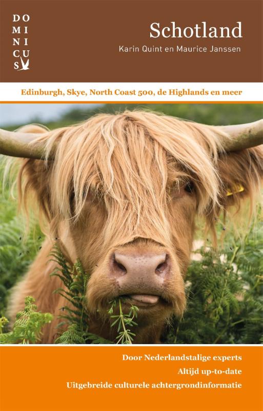
Netherlands
2012
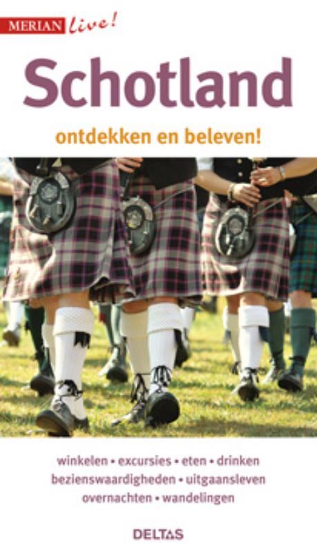
- Reisgids Merian live Schotland | Deltas
- Reisgids Schotland klein en handzaam : Merian live! Schotland ontdekken en beleven, een handzame reisgezel, met actuele informatie over bezienswaardigheden, cafe's; hotels, de lokale keuken, winkelen en uitgaan. Aandacht voor het strand, excursies, bezienswaardigheden, eten, drinken, uitgangsleven, overnachten, wandelingen. Read more
De Zwerver
Netherlands
2018
Netherlands
2018
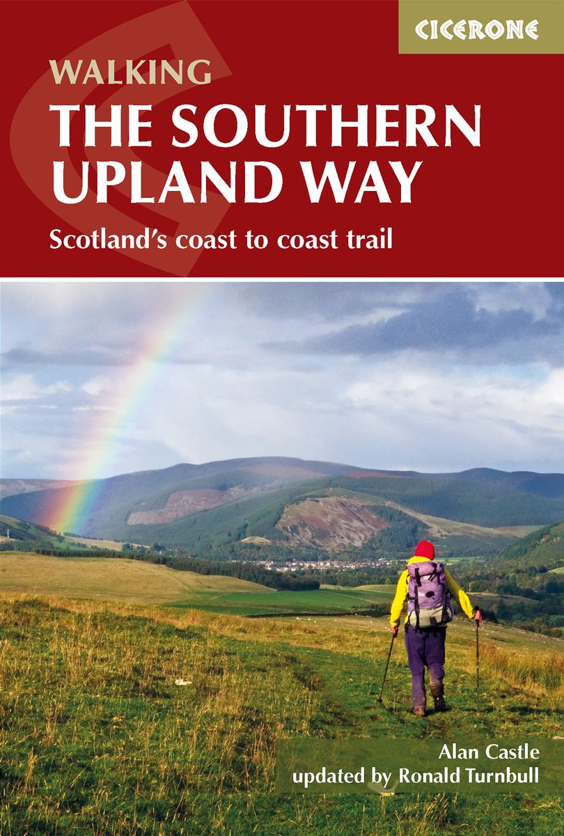
- Wandelgids The Southern Upland Way | Cicerone
- Guidebook to the Southern Upland Way, a coast to coast walk through Galloway and the Scottish Borders. One of Scotland's Great Trails, the 347km (215 mile) route links Portpatrick on the west coast to Cockburnspath on the east, through diverse landscapes and rich natural and historical interest. It can be completed in around a fortnight. Read more
- Also available from:
- Stanfords, United Kingdom

Stanfords
United Kingdom
2018
United Kingdom
2018
- Southern Upland Way
- The Southern Upland Way is Scotland`s coast-to-coast walk and the longest of the nation`s Great Trails. 215 miles long, it links the pretty harbour village of Portpatrick on the west coast with Cockburnspath, a little south of Dunbar, in the east. The walk is at times a strenuous one, crossing the remote high moorland of the Galloway Hills,... Read more
De Zwerver
Netherlands
2003
Netherlands
2003
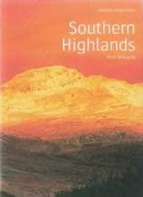
- Wandelgids Southern Highlands | Pocket Mountains
- Mooi uitgevoerde wandelgids in een handzaam formaat: 15 x 10 cm. De wandelingen zijn duidelijk beschreven, soms een beetje summier. This Pocket Mountains guide to the Southern Highlands of Scotland covers Glenlyon to Rannoch, Kinross to Callander, The Arrochar Alps, The Trossachs to the Mamlorn Hills, Hills of Crianlarich and Tyndrum -40... Read more
- Also available from:
- Stanfords, United Kingdom

Stanfords
United Kingdom
2003
United Kingdom
2003
- Southern Highlands
- This guide features 40 circular walks in the fascinating hill country of the Southern Highlands From the craggy peaks of Argyll to the high mountain ridges of Perthshire, the Southern Highlands contain some of Scotland¹s most varied landscapes. Much of the area covered in this guide is part of the Loch Lomond and The Trossachs National Park.... Read more
De Zwerver
Netherlands
2020
Netherlands
2020
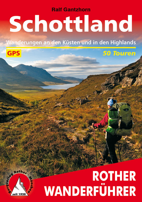
- Wandelgids Schottland - Schotland | Rother Bergverlag
- Uitstekende wandelgids met een groot aantal dagtochten in dal en hooggebergte. Met praktische informatie en beperkt kaartmateriaal! Wandelingen in verschillende zwaarte weergegeven in rood/blauw/zwart Denkt man an Schottland, hat man die Highlands vor Augen - grüne Hügel, felsige Kämme, tiefe Seen. Das wechselhafte Wetter sorgt für dramatische... Read more
De Zwerver
Netherlands
2007
Netherlands
2007
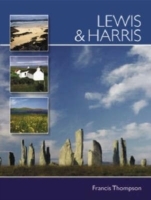
- Reisgids Lewis and Harris - Pevensey Island Guides | Pevensey Island guides
- Meer fotoboek dan reisgids, maar wel eentje om perfect de sfeer te proeven van deze bijzonder eilanden. Suitable for the discerning tourist and island devotee, this work describes everything the visitor needs to know about the islands' heritage, landscape, climate, flora and fauna. It contains information on the key places of interest, from... Read more
Kaarten
De Zwerver
Netherlands
2013
Netherlands
2013
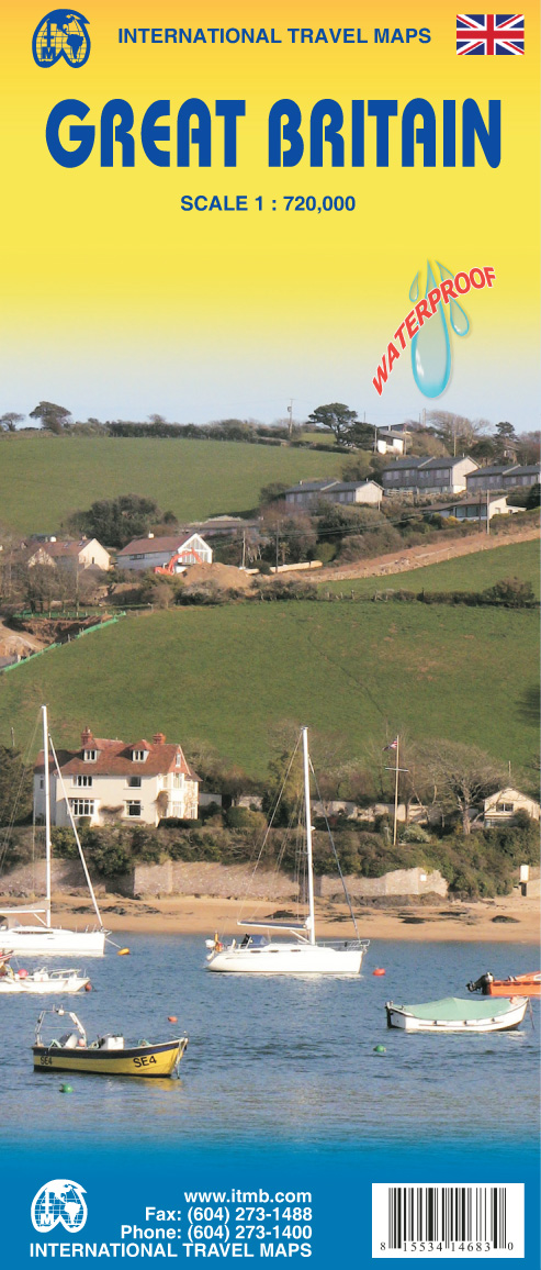
- Wegenkaart - landkaart Great Britain - Engeland - Schotland | ITMB
- Great Britain Travel Reference Map 1 : 720 000 ab 9.99 EURO 3rd Revised edition. Read more

De Zwerver
Netherlands
Netherlands
- Wandelkaart - Fietskaart South Downs Way | Harvey Maps
- The South Downs Way, a 160km / 100 mile National Trail from Eastbourne to Winchester, presented at 1:40,000 on a light, waterproof and tear-resistant map from Harvey Map Services. The route is shown on nine panels, with additional small street plans of Eastbourne and Winchester. Map legend and the accompanying notes are also in French and... Read more
- Also available from:
- Stanfords, United Kingdom

Stanfords
United Kingdom
United Kingdom
- South Downs Way Harvey National Trail XT40
- The South Downs Way, a 160km / 100 mile National Trail from Eastbourne to Winchester, presented at 1:40,000 on a light, waterproof and tear-resistant map from Harvey Map Services. The route is shown on nine panels, with additional small street plans of Eastbourne and Winchester. Map legend and the accompanying notes are also in French and... Read more
De Zwerver
Netherlands
2024
Netherlands
2024
De Zwerver
Netherlands
2019
Netherlands
2019
.jpg)
De Zwerver
Netherlands
Netherlands
- Wegenkaart - landkaart 501 Schotland | Michelin
- Entre lochs et châteaux, la carte REGION Ecosse est destinée à ceux qui souhaitent avoir une vision globale de la région, des grands axes comme des petites routes. Read more

De Zwerver
Netherlands
Netherlands
De Zwerver
Netherlands
2019
Netherlands
2019
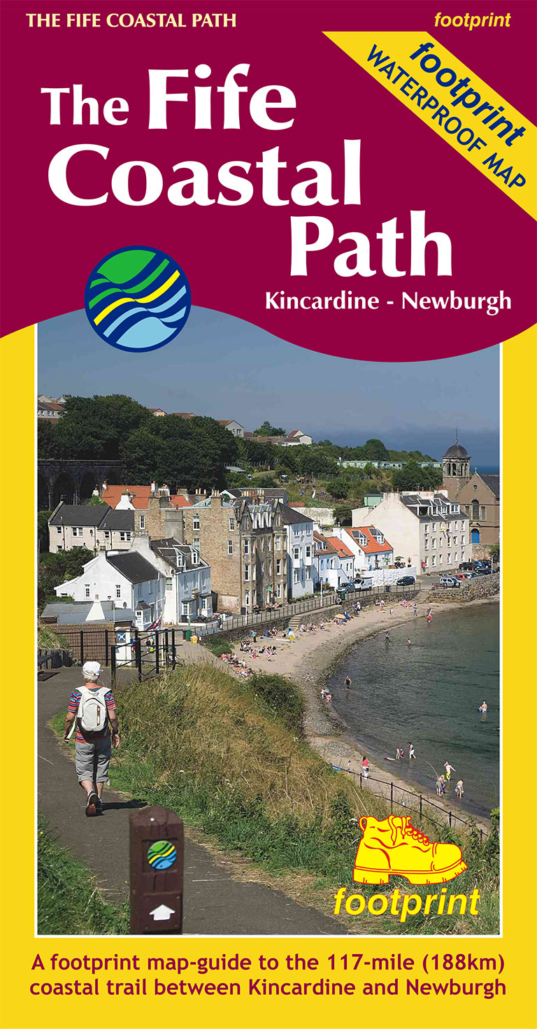
- Wandelkaart The Fife Coastal Path | Footprint maps
- High quality, specially created strip map of this unique 117 mile coastal path from the Kincardine Bridge to Newburgh on the Firth of Tay.This new edition contains maps of the whole route, at 1:40,000 and based on OS data. Compact and concise, the map is printed on waterproof paper and is supplied in a durable slipcase.For every copy of this... Read more
- Also available from:
- Stanfords, United Kingdom

Stanfords
United Kingdom
2019
United Kingdom
2019
- The Fife Coastal Path - Kincardine to Newburgh
- High quality, specially created strip map of this unique 117 mile coastal path from the Kincardine Bridge to Newburgh on the Firth of Tay.This new edition contains maps of the whole route, at 1:40,000 and based on OS data. Compact and concise, the map is printed on waterproof paper and is supplied in a durable slipcase.For every copy of this... Read more
De Zwerver
Netherlands
2023
Netherlands
2023
De Zwerver
Netherlands
2022
Netherlands
2022