
Hadrian's Wall
Beschrijving
- Name Hadrian's Wall
- Lengte van pad 135 km, 84 mijl
- Lengte in dagen 7 dagen
- Traildino graad EW, Makkelijke wandeling, natuurpad

84 miles, 135 km, 7 days
National Trail
This National Trail runs close to the defence wall built by Roman emporer Hadrian in the second century AD. Although the path is not very difficult, due to its distance from populated areas, careful planning in advance is necessary. The remoteness of Northumberland and the relative flatness of the walk with its great views, give it a special flavour and make it a popular walk.
Select some tracks
☐Hadrian's Wall Path, 139km
Kaart

Links
Feiten
Verslagen
Gidsen en kaarten
Overnachting
Organisaties
Reisorganisaties
GPS
Anders
Boeken
De Zwerver
Netherlands
2022
Netherlands
2022
De Zwerver
Netherlands
2015
Netherlands
2015
- Wandelgids the National Trails - Great British Walks - Engeland, Wales en Schotland | Cicerone
- This inspirational guidebook looks at each of the UK's 19 National Trails, with information that allows ease of comparison and contrast, inspiring you to find out more and to take up a long-distance challenge. Some Trails are short and easy, others much longer, many have strong themes - they may follow a coastline, or traverse ranges of hills. Read more
De Zwerver
Netherlands
2020
Netherlands
2020
- Wandelkaart Hadrian's Wall Path | Vertebrate Publishing
- Easy-to-use folding map and essential information, with custom itinerary planning for walkers, trekkers, fastpackers and trail runners Read more
Bol.com
Netherlands
2015
Netherlands
2015
- Hadrian's wall path
- Guidebook to walking the 84-mile Hadrian's Wall Path National Trail along the Roman Wall from Bowness-on-Solway to Wallsend, Newcastle. The trail typically takes a week to walk, and is suitable for beginners as well as walkers with greater experience. The route is described in both directions, and the guidebook also features extensions to... Read more
- Also available from:
- Bol.com, Belgium
- The Book Depository, United Kingdom
Bol.com
Belgium
2015
Belgium
2015
- Hadrian's wall path
- Guidebook to walking the 84-mile Hadrian's Wall Path National Trail along the Roman Wall from Bowness-on-Solway to Wallsend, Newcastle. The trail typically takes a week to walk, and is suitable for beginners as well as walkers with greater experience. The route is described in both directions, and the guidebook also features extensions to... Read more

The Book Depository
United Kingdom
2015
United Kingdom
2015
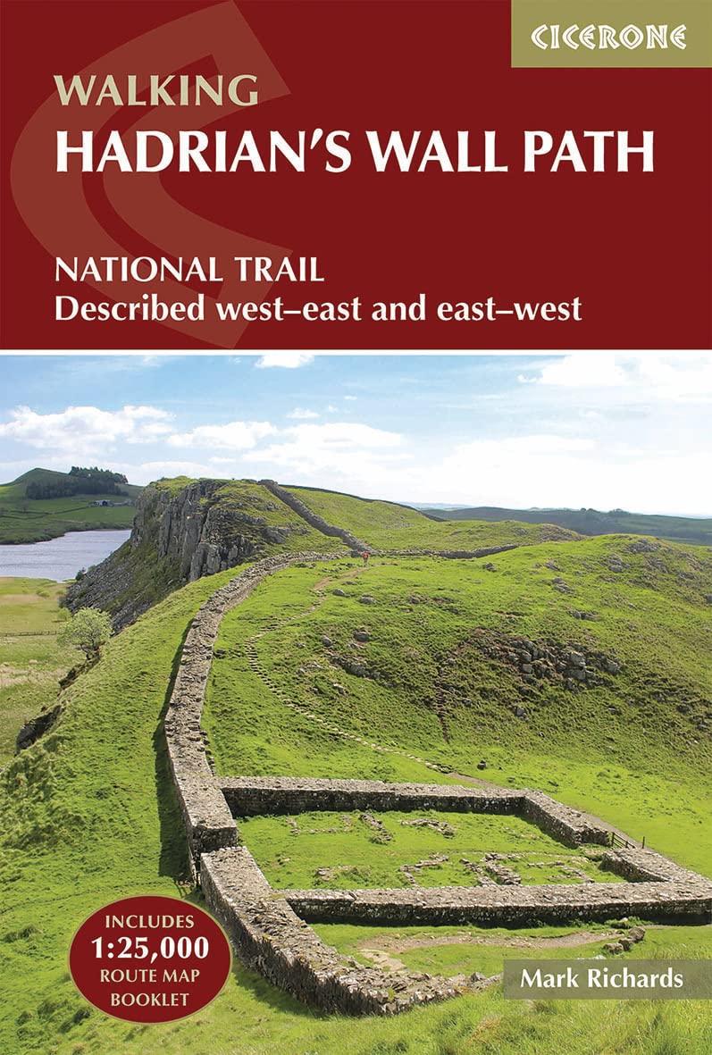
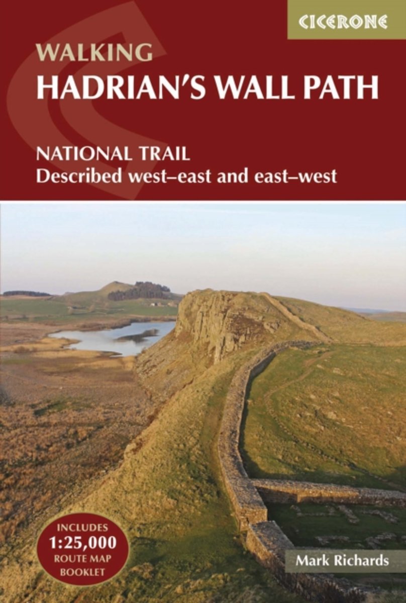
- Hadrian's Wall Path
- National Trail: Described west-east and east-west Read more
Bol.com
Netherlands
Netherlands
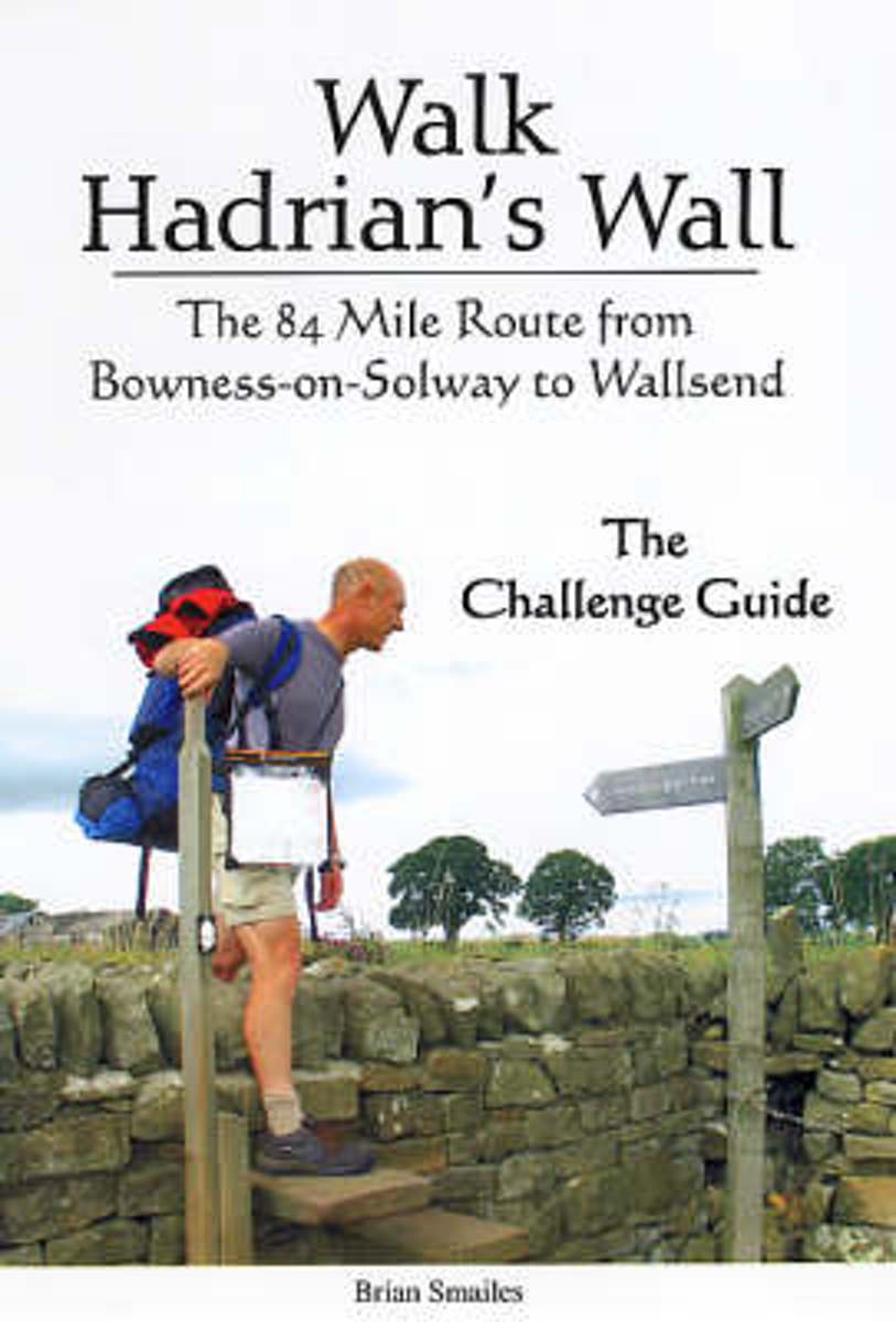
- Walk Hadrian's Wall
- The 84 Mile Route from Bowness-on-Solway to Wallsend - The Challenge Guide Read more
- Also available from:
- Bol.com, Belgium
- The Book Depository, United Kingdom
Bol.com
Belgium
Belgium
- Walk Hadrian's Wall
- The 84 Mile Route from Bowness-on-Solway to Wallsend - The Challenge Guide Read more

The Book Depository
United Kingdom
United Kingdom
- Walk Hadrian's Wall
- The 84 Mile Route from Bowness-on-Solway to Wallsend - The Challenge Guide Read more
Bol.com
Netherlands
2017
Netherlands
2017
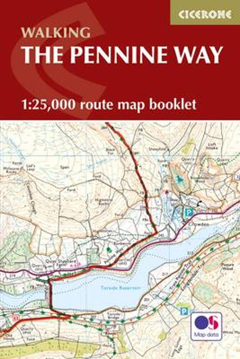
- Pennine Way Map Booklet
- Britain's oldest, toughest and best-known long-distance footpath, the Pennine Way stretches 427km (266 miles) from Edale in Derbyshire to Kirk Yetholm in the Scottish Borders. Showcasing the wild beauty of the North, it crosses three National Parks - the Peak District, Yorkshire Dales and Northumberland National Park - plus the North Pennines... Read more
- Also available from:
- Bol.com, Belgium
- The Book Depository, United Kingdom
Bol.com
Belgium
2017
Belgium
2017
- Pennine Way Map Booklet
- Britain's oldest, toughest and best-known long-distance footpath, the Pennine Way stretches 427km (266 miles) from Edale in Derbyshire to Kirk Yetholm in the Scottish Borders. Showcasing the wild beauty of the North, it crosses three National Parks - the Peak District, Yorkshire Dales and Northumberland National Park - plus the North Pennines... Read more

De Zwerver
Netherlands
2017
Netherlands
2017
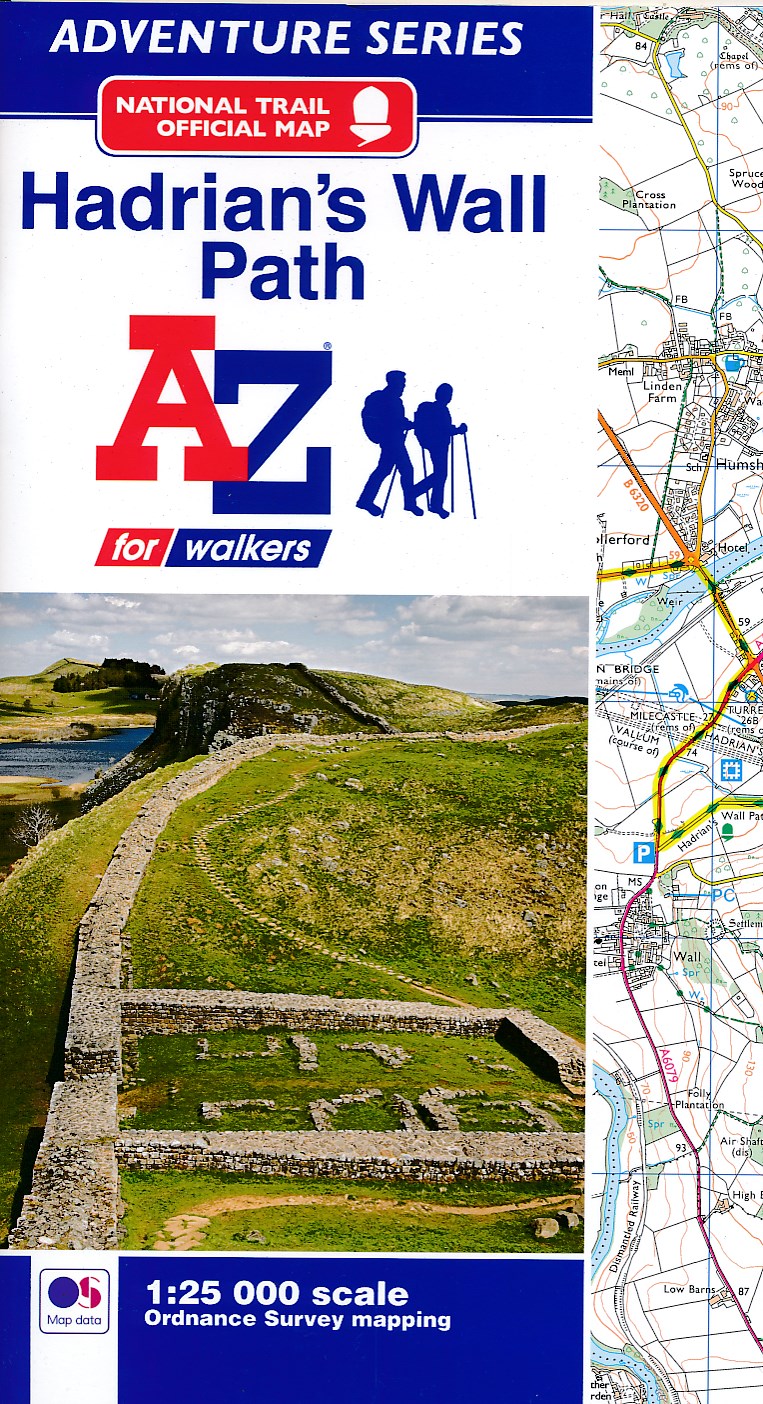
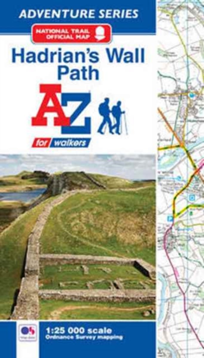
- Wandelkaart Adventure Atlas Hadrian's Wall Path | A-Z Map Company
- AZ heeft de meest gedetailleerde wandelkaarten van het Hadrian's Wall Path gebundeld in een atlasje. Daardoor is het heel handig qua formaat. De kaarten zelf zijn perfect voor het wandelen. Schaal 1:25.000 The A-Z Adventure Series of maps combines the best of OS and A-Z, creating the perfect companion for walkers, off-road cyclists, horse... Read more
- Also available from:
- Bol.com, Netherlands
- Bol.com, Belgium
Bol.com
Netherlands
2017
Netherlands
2017
- Hadrian's Wall Path Adventure Atlas
- AZ heeft de meest gedetailleerde wandelkaarten van het Hadrian's Wall Path gebundeld in een atlasje. Daardoor is het heel handig qua formaat. De kaarten zelf zijn perfect voor het wandelen. Schaal 1:25.000 The A-Z Adventure Series of maps combines the best of OS and A-Z, creating the perfect companion for walkers, off-road cyclists, horse... Read more
Bol.com
Belgium
2017
Belgium
2017
- Hadrian's Wall Path Adventure Atlas
- AZ heeft de meest gedetailleerde wandelkaarten van het Hadrian's Wall Path gebundeld in een atlasje. Daardoor is het heel handig qua formaat. De kaarten zelf zijn perfect voor het wandelen. Schaal 1:25.000 The A-Z Adventure Series of maps combines the best of OS and A-Z, creating the perfect companion for walkers, off-road cyclists, horse... Read more
Bol.com
Netherlands
Netherlands
- Rick Steves England (Eighth Edition)
- You can count on Rick Steves to tell you what you really need to know when traveling in England. In this guide, you'll find a mix of splendid cities, ever-so-quaint villages, historic ports, and seaside resorts. Visit the manors, museums, cathedrals, and castles that preserve England's history. Explore the scenic bays of Cornwall, hike the wild... Read more
- Also available from:
- Bol.com, Belgium
Bol.com
Belgium
Belgium
- Rick Steves England (Eighth Edition)
- You can count on Rick Steves to tell you what you really need to know when traveling in England. In this guide, you'll find a mix of splendid cities, ever-so-quaint villages, historic ports, and seaside resorts. Visit the manors, museums, cathedrals, and castles that preserve England's history. Explore the scenic bays of Cornwall, hike the wild... Read more
Bol.com
Netherlands
Netherlands
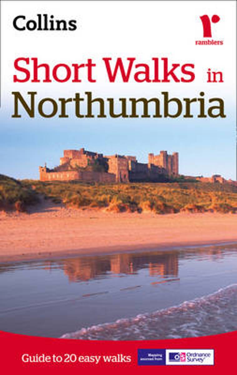
- Short Walks in Northumbria
- A practical little walk guide to Northumbria endorsed by the Ramblers. All of the 20 walks are 5 miles or under in length and can easily be completed in less than 3 hours. Clear Ordnance Survey maps show the route, along with easy-to-follow walk descriptions. Northumbria offers diverse landscapes: the scenic North Sea Coast with its diverse... Read more
- Also available from:
- Bol.com, Belgium
- Stanfords, United Kingdom
Bol.com
Belgium
Belgium
- Short Walks in Northumbria
- A practical little walk guide to Northumbria endorsed by the Ramblers. All of the 20 walks are 5 miles or under in length and can easily be completed in less than 3 hours. Clear Ordnance Survey maps show the route, along with easy-to-follow walk descriptions. Northumbria offers diverse landscapes: the scenic North Sea Coast with its diverse... Read more

Stanfords
United Kingdom
United Kingdom
- Short Walks in Northumbria
- A practical little walk guide to Northumbria endorsed by the Ramblers. All of the 20 walks are 5 miles or under in length and can easily be completed in less than 3 hours. Clear Ordnance Survey maps show the route, along with easy-to-follow walk descriptions. Northumbria offers diverse landscapes: the scenic North Sea Coast with its diverse... Read more
Bol.com
Netherlands
Netherlands
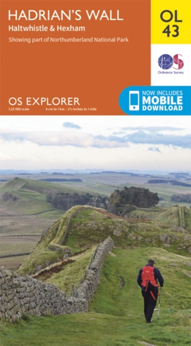
- Hadrian's Wall, Haltwhistle & Hexham
- OS Explorer is the Ordnance Survey's most detailed map and is recommended for anyone enjoying outdoor activities like walking, horse riding and off-road cycling. The OS Explorer range of OL maps now includes a digital version of the paper map, accessed through the OS smartphone app, OS Maps. Providing complete GB coverage the series details... Read more
- Also available from:
- Bol.com, Belgium
Bol.com
Belgium
Belgium
- Hadrian's Wall, Haltwhistle & Hexham
- OS Explorer is the Ordnance Survey's most detailed map and is recommended for anyone enjoying outdoor activities like walking, horse riding and off-road cycling. The OS Explorer range of OL maps now includes a digital version of the paper map, accessed through the OS smartphone app, OS Maps. Providing complete GB coverage the series details... Read more
Bol.com
Netherlands
Netherlands
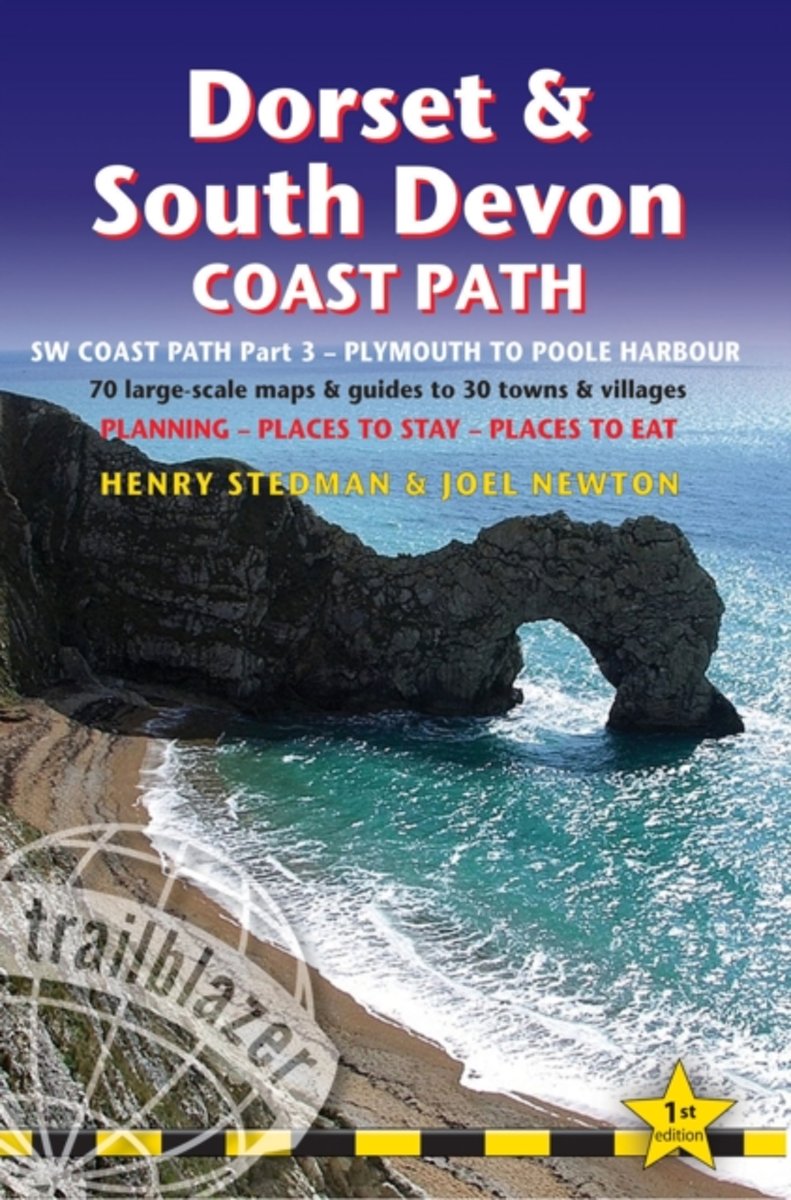
- South West Coast Path
- This new guide covers the third and last section of the South West Coast Path, from Plymouth to Poole Harbour (203 miles). This beautiful route includes 95 miles within England's only Natural World Heritage Site, the Jurassic Coast, and passes dramatic cliffs and headlands, Chesil Bank's impressive spit and Lulworth Cove, winding through... Read more
- Also available from:
- Bol.com, Belgium
Bol.com
Belgium
Belgium
- South West Coast Path
- This new guide covers the third and last section of the South West Coast Path, from Plymouth to Poole Harbour (203 miles). This beautiful route includes 95 miles within England's only Natural World Heritage Site, the Jurassic Coast, and passes dramatic cliffs and headlands, Chesil Bank's impressive spit and Lulworth Cove, winding through... Read more
Bol.com
Netherlands
Netherlands
- Rick Steves' England 2013
- You can count on Rick Steves to tell you what you really need to know when traveling in England. In this guide, you'll find a mix of splendid cities, ever-so-quaint villages, historic ports, and seaside resorts. Visit the manors, museums, cathedrals, and castles that preserve England's history. Explore the scenic bays of Cornwall, hike the wild... Read more
- Also available from:
- Bol.com, Belgium
Bol.com
Belgium
Belgium
- Rick Steves' England 2013
- You can count on Rick Steves to tell you what you really need to know when traveling in England. In this guide, you'll find a mix of splendid cities, ever-so-quaint villages, historic ports, and seaside resorts. Visit the manors, museums, cathedrals, and castles that preserve England's history. Explore the scenic bays of Cornwall, hike the wild... Read more
Bol.com
Netherlands
Netherlands
- Hadrian's Wall Path
- This is the paperback with black and white photos. For the paperback with full-color photos, see ISBN-10: 1507886780 or ISBN-13:978-1507886786.Wouldn't you love to go on an adventure and find that it was more than what you expected? That s what happened to Jane V. Blanchard when she walked the Hadrian s Wall Path, and what she wants to share... Read more
- Also available from:
- Bol.com, Belgium
Bol.com
Belgium
Belgium
- Hadrian's Wall Path
- This is the paperback with black and white photos. For the paperback with full-color photos, see ISBN-10: 1507886780 or ISBN-13:978-1507886786.Wouldn't you love to go on an adventure and find that it was more than what you expected? That s what happened to Jane V. Blanchard when she walked the Hadrian s Wall Path, and what she wants to share... Read more
Bol.com
Netherlands
Netherlands
- Pathfinder Heritage Walks in North East England
- Do you enjoy a walk in the country or a leisurely afternoon stroll? Do you have a taste for Britain's history and heritage? Inside Pathfinder(R) Guide to Heritage Walks in North East England are 25 fantastic country walks taking in some of Northern England's top heritage sites, from National Trust parkland to English Heritage properties.... Read more
- Also available from:
- Bol.com, Belgium
Bol.com
Belgium
Belgium
- Pathfinder Heritage Walks in North East England
- Do you enjoy a walk in the country or a leisurely afternoon stroll? Do you have a taste for Britain's history and heritage? Inside Pathfinder(R) Guide to Heritage Walks in North East England are 25 fantastic country walks taking in some of Northern England's top heritage sites, from National Trust parkland to English Heritage properties.... Read more
Kaarten
Bol.com
Netherlands
2015
Netherlands
2015
- Hadrian's Wall Path Map Booklet
- All the mapping you need to complete the 84 mile (135km) Hadrian's Wall Path from Bowness-on-Solway in Cumbria to Wallsend, Newcastle. One of the UK's most visited national trails, it typically takes a week to walk, and is suitable for walkers and trekkers at all levels of experience. This booklet of Ordnance Survey 1:25,000 Explorer maps has... Read more
- Also available from:
- Bol.com, Belgium
- Stanfords, United Kingdom
Bol.com
Belgium
2015
Belgium
2015
- Hadrian's Wall Path Map Booklet
- All the mapping you need to complete the 84 mile (135km) Hadrian's Wall Path from Bowness-on-Solway in Cumbria to Wallsend, Newcastle. One of the UK's most visited national trails, it typically takes a week to walk, and is suitable for walkers and trekkers at all levels of experience. This booklet of Ordnance Survey 1:25,000 Explorer maps has... Read more

Stanfords
United Kingdom
2015
United Kingdom
2015
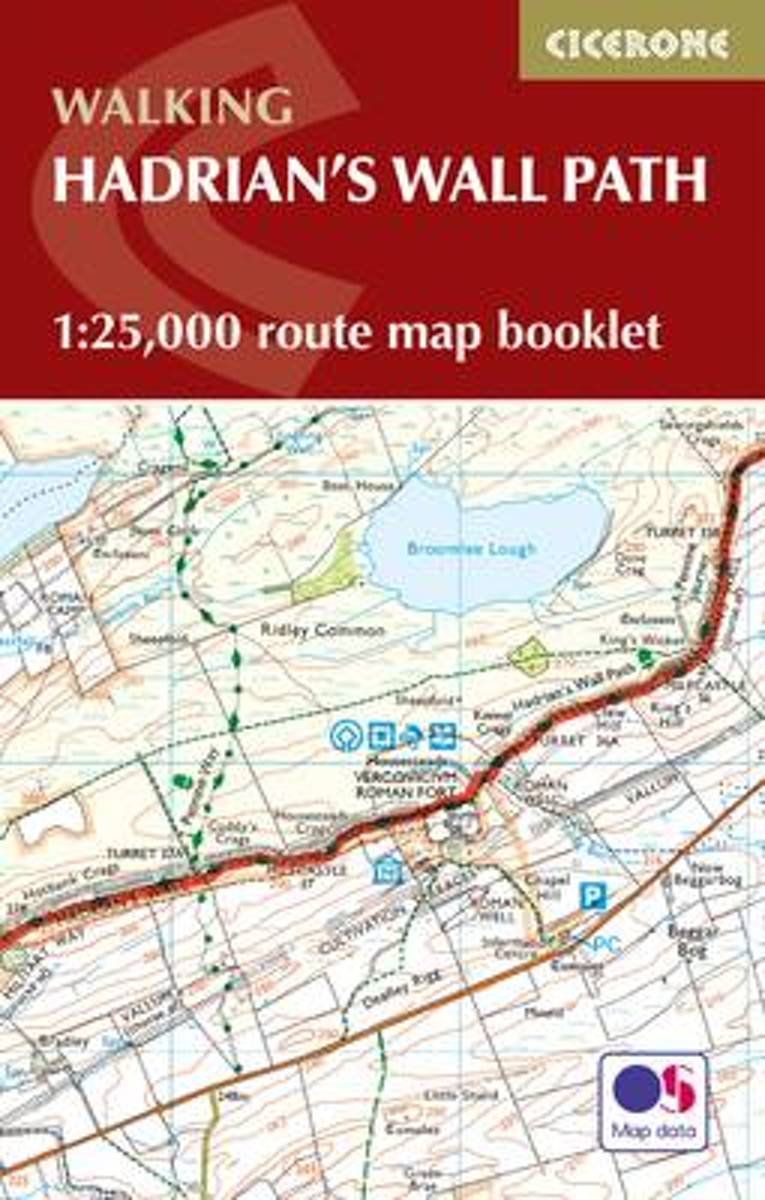
- Hadrian`s Wall Path Cicerone Map Booklet
- Hadrian’s Wall Path National Trail on mapping at 1:25,000 from the Ordnance Survey’s Explorer series in a pocket-size booklet from Cicerone Press. The 135km / 84 mile trail from Bowness-on-Solway to Wallsend, with an extension to South Shields, is presented with a route profile, plus summaries of distance and approximate walking time for each... Read more
De Zwerver
Netherlands
2019
Netherlands
2019
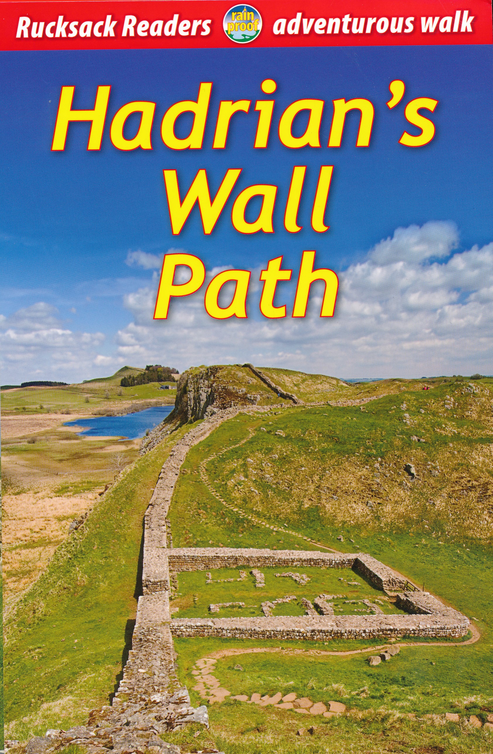
- Wandelgids Hadrian's Wall path | Rucksack Readers
- Hadrian's Wall Path, a 138km / 86 mile long trail from Bowness-on-Solway to Wallsend along the remains of the Roman walls and forts, presented by Rucksack Readers in handy A5 size, spiral-bound, waterproof guide with mapping at 1:100,000. The 64-page guide provides general advice on when to go, availability of accommodation, etc, and includes... Read more
- Also available from:
- Bol.com, Netherlands
- Bol.com, Belgium
- The Book Depository, United Kingdom
Bol.com
Netherlands
2019
Netherlands
2019
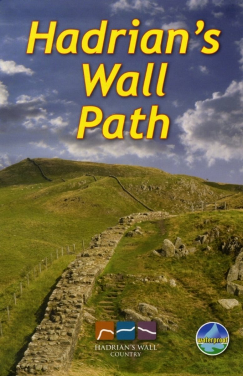
- Hadrian's Wall Path
- ?Hadrians Wall Path runs for 86 miles from Bowness-on-Solway to Wallsend along the line of the Roman Wall completed in AD122 under the Emperor Hadrian. This National Trail crosses northern England from Irish Sea to North Sea and offers many chances to look at the forts, milecastles and interpretation centers within this UNESCO World Heritage... Read more
Bol.com
Belgium
2019
Belgium
2019
- Hadrian's Wall Path
- ?Hadrians Wall Path runs for 86 miles from Bowness-on-Solway to Wallsend along the line of the Roman Wall completed in AD122 under the Emperor Hadrian. This National Trail crosses northern England from Irish Sea to North Sea and offers many chances to look at the forts, milecastles and interpretation centers within this UNESCO World Heritage... Read more

The Book Depository
United Kingdom
2019
United Kingdom
2019
- Hadrian's Wall Path
- Hadrian's Wall Path, a 138km / 86 mile long trail from Bowness-on-Solway to Wallsend along the remains of the Roman walls and forts, presented by Rucksack Readers in handy A5 size, spiral-bound, waterproof guide with mapping at 1:100,000. The 64-page guide provides general advice on when to go, availability of accommodation, etc, and includes... Read more
De Zwerver
Netherlands
2014
Netherlands
2014
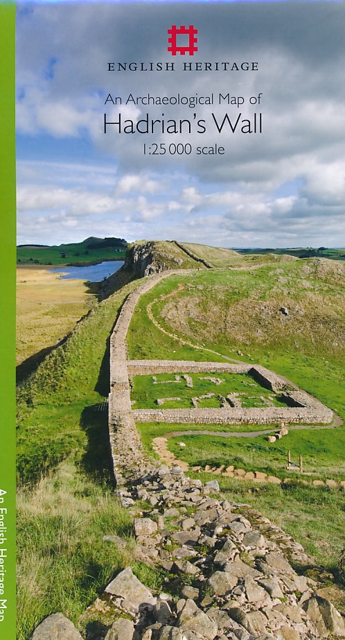
- Historische Kaart An Archaeological Map of Hadrian's Wall | English Heritage
- Hadrian’s Wall and the nearby archaeological Roman remains on a light, waterproof and tear-resistant map from the English Heritage with the base map from the Ordnance Survey 1:25,000 Explorer series.The map presents in six panels the whole course of the wall including its sections across the present day Newcastle, plus the adjoining area along... Read more
- Also available from:
- Stanfords, United Kingdom
- The Book Depository, United Kingdom

Stanfords
United Kingdom
2014
United Kingdom
2014
- Hadrian`s Wall Archaeological Map
- Hadrian’s Wall and the nearby archaeological Roman remains on a light, waterproof and tear-resistant map from the English Heritage with the base map from the Ordnance Survey 1:25,000 Explorer series.The map presents in six panels the whole course of the wall including its sections across the present day Newcastle, plus the adjoining area along... Read more

The Book Depository
United Kingdom
2014
United Kingdom
2014
- An Archaeological Map of Hadrian's Wall
- 1:25000 Scale Revised Edition Read more

De Zwerver
Netherlands
2019
Netherlands
2019
- Wandelkaart Hadrian's Wall | Harvey Maps
- Een bijzonder handige kaart van dit lange-afstands-wandelpad. Op waterafstotend papier met veel details. Het enige dat je eigenlijk een beetje mist is een overzicht. Verder uitstekend en voldoende voor de route. Compact and light - the map itself weighs just 60gms - a third of the weight of a laminated map, and much less bulky. And you can fold... Read more
- Also available from:
- Stanfords, United Kingdom
- The Book Depository, United Kingdom

Stanfords
United Kingdom
2019
United Kingdom
2019
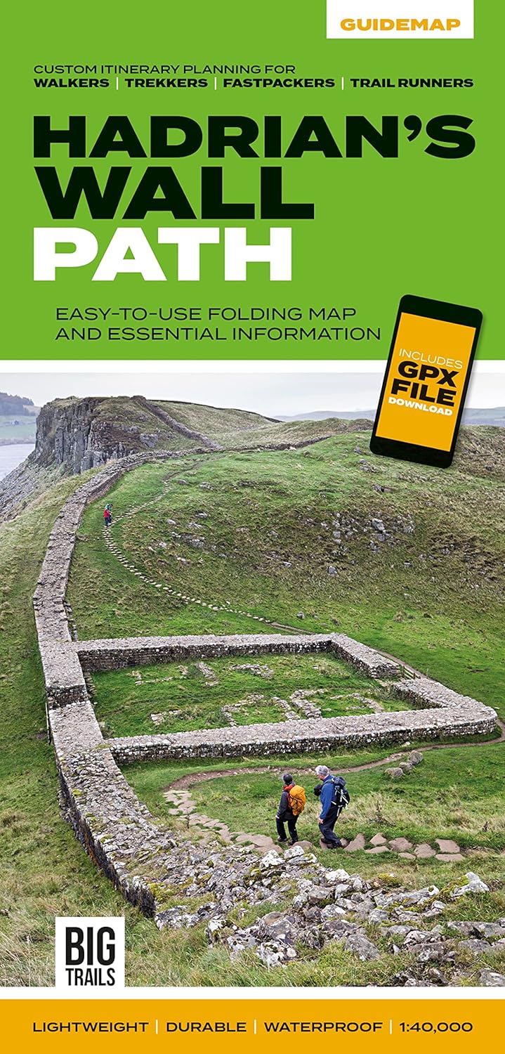
- Hadrian`s Wall Path Harvey National Trail XT40
- Hadrian’s Wall Path, a 135km / 84 mile national trail between Bowness-on-Solway and Wallsend on Tyne which for the greater part of its course shadows the historic line of the Roman wall, presented at 1:40,000 on a map from Harvey Map Services. The route is shown on seven panels, with enlargements for important sections with archaeological... Read more

The Book Depository
United Kingdom
2019
United Kingdom
2019
- Hadrian's Wall
- Een bijzonder handige kaart van dit lange-afstands-wandelpad. Op waterafstotend papier met veel details. Het enige dat je eigenlijk een beetje mist is een overzicht. Verder uitstekend en voldoende voor de route. Compact and light - the map itself weighs just 60gms - a third of the weight of a laminated map, and much less bulky. And you can fold... Read more