
Los Padres National Forest
Beschrijving
Paden in deze regio
Links
Feiten
Verslagen
Gidsen en kaarten
Overnachting
Organisaties
Reisorganisaties
GPS
Anders
Boeken

Bol.com
Netherlands
Netherlands
- Highway 1 California
- Skirting the California coastline, the legendary Highway 1 starts at San Diego and ends at the Canadian border. 'Highway 1' the book presents the California portion in stunning colour. It is a testament to why California receives the most domestic visitors of all the states, and is consistently one of the top three states visited by... Read more
- Also available from:
- Bol.com, Belgium
Bol.com
Belgium
Belgium
- Highway 1 California
- Skirting the California coastline, the legendary Highway 1 starts at San Diego and ends at the Canadian border. 'Highway 1' the book presents the California portion in stunning colour. It is a testament to why California receives the most domestic visitors of all the states, and is consistently one of the top three states visited by... Read more
Bol.com
Netherlands
Netherlands
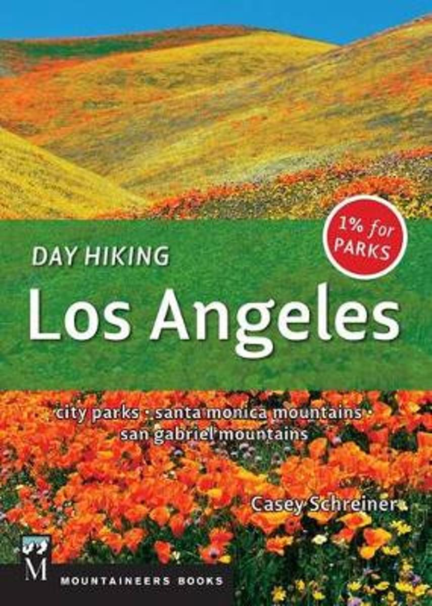
- Day Hiking Los Angeles
- In Southern California, the city of Los Angeles alone covers more than 500 square miles. Yet beyond the freeways and suburbia, there is a surprising amount of hikeable green space and wilderness. This new guide details trails in the Santa Monica Mountains National Recreation Area, the world's largest urban national park stretching from the... Read more
- Also available from:
- Bol.com, Belgium
Bol.com
Belgium
Belgium
- Day Hiking Los Angeles
- In Southern California, the city of Los Angeles alone covers more than 500 square miles. Yet beyond the freeways and suburbia, there is a surprising amount of hikeable green space and wilderness. This new guide details trails in the Santa Monica Mountains National Recreation Area, the world's largest urban national park stretching from the... Read more
Bol.com
Netherlands
Netherlands
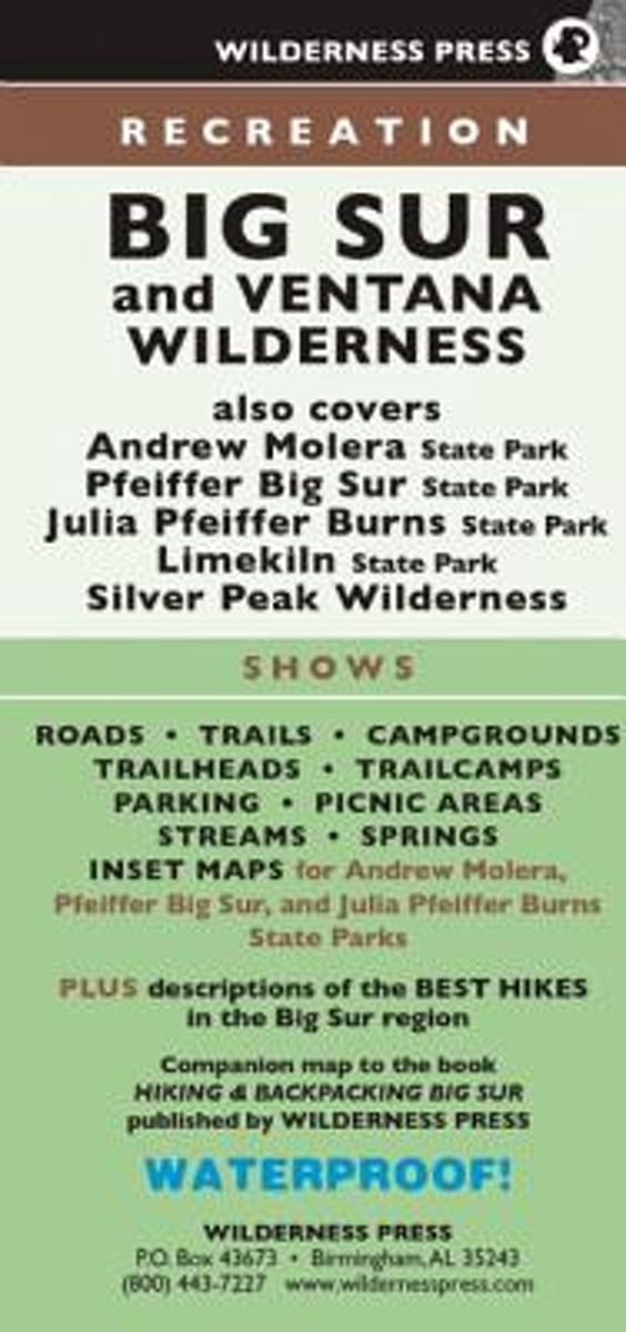
- MAP Big Sur Recreation
- Find your way around Big Sur with this four-color topographic map showing every major road, trailhead, and trail in Pfeiffer Big Sur State Park, Julia Pfeiffer Burns State Park, Ventana Wilderness, Silver Peak Wilderness, Andrew Molera State Park, Lime Kiln State Park, and northern Los Padres National Forest. Notes campgrounds and trail camps,... Read more
- Also available from:
- Bol.com, Belgium
Bol.com
Belgium
Belgium
- MAP Big Sur Recreation
- Find your way around Big Sur with this four-color topographic map showing every major road, trailhead, and trail in Pfeiffer Big Sur State Park, Julia Pfeiffer Burns State Park, Ventana Wilderness, Silver Peak Wilderness, Andrew Molera State Park, Lime Kiln State Park, and northern Los Padres National Forest. Notes campgrounds and trail camps,... Read more
Bol.com
Netherlands
Netherlands
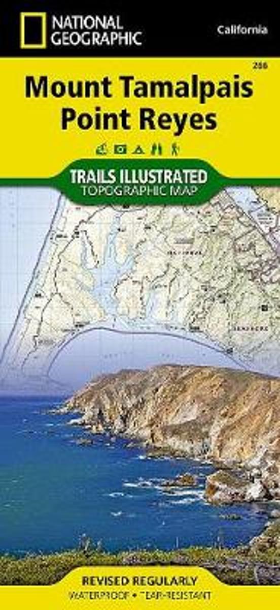
- Mount Tamalpais/pt. Reyes
- Waterproof Tear-Resistant Topographic MapNational Geographic's Trails Illustrated map of Mount Tamalpais and Point Reyes is a two-sided, waterproof map designed to meet the needs of outdoor enthusiasts with unmatched durability and detail. This map was created in conjunction with local land management agencies and is loaded with valuable... Read more
- Also available from:
- Bol.com, Belgium
- Stanfords, United Kingdom
- The Book Depository, United Kingdom
Bol.com
Belgium
Belgium
- Mount Tamalpais/pt. Reyes
- Waterproof Tear-Resistant Topographic MapNational Geographic's Trails Illustrated map of Mount Tamalpais and Point Reyes is a two-sided, waterproof map designed to meet the needs of outdoor enthusiasts with unmatched durability and detail. This map was created in conjunction with local land management agencies and is loaded with valuable... Read more

Stanfords
United Kingdom
United Kingdom
- Mount Tamalpais and Point Reyes CA
- Map No. 266, Mount Tamalpais and Point Reyes, CA, in an extensive series of GPS compatible, contoured hiking maps of USA’s national and state parks or forests and other popular recreational areas. Cartography based on the national topographic survey, with additional tourist information.The maps, with most titles now printed on light, waterproof... Read more

The Book Depository
United Kingdom
United Kingdom
- Mount Tamalpais/pt. Reyes
- Trails Illustrated Other Rec. Areas Read more

Bol.com
Netherlands
Netherlands
- 169+ Mountain Man Survival Tricks!
- 169+ Mountain Man Survival Tricks My name is Joseph A. Laydon Jr. and stay with me through this DESCRIPTION cause whether you get this Book or not, I m here to help you out. So at the end of this DESCRIPTION, I LL GIVE YOU ONE OF THESE 169+ Mountain Man Survival Tricks so you re ready Anytime Anywhere!! Fair enough! OK then.Some of the... Read more
- Also available from:
- Bol.com, Belgium
Bol.com
Belgium
Belgium
- 169+ Mountain Man Survival Tricks!
- 169+ Mountain Man Survival Tricks My name is Joseph A. Laydon Jr. and stay with me through this DESCRIPTION cause whether you get this Book or not, I m here to help you out. So at the end of this DESCRIPTION, I LL GIVE YOU ONE OF THESE 169+ Mountain Man Survival Tricks so you re ready Anytime Anywhere!! Fair enough! OK then.Some of the... Read more

Bol.com
Netherlands
Netherlands
- Big Sur/ventana Wilderness - Los Padres National Forest
- Waterproof Tear-Resistant Topographic MapNational Geographic's Trails Illustrated map of Big Sur / Ventana Wilderness - Los Padres National Forest is a two-sided, waterproof map designed to meet the needs of outdoor enthusiasts with unmatched durability and detail. This map was created in conjunction with local land management agencies... Read more
- Also available from:
- Bol.com, Belgium
- Stanfords, United Kingdom
Bol.com
Belgium
Belgium
- Big Sur/ventana Wilderness - Los Padres National Forest
- Waterproof Tear-Resistant Topographic MapNational Geographic's Trails Illustrated map of Big Sur / Ventana Wilderness - Los Padres National Forest is a two-sided, waterproof map designed to meet the needs of outdoor enthusiasts with unmatched durability and detail. This map was created in conjunction with local land management agencies... Read more

Stanfords
United Kingdom
United Kingdom
- Big Sur - Ventana Wilderness - Los Padres National Forest CA
- Map No. 814, Angeles National Forest, CA, in an extensive series of GPS compatible, contoured hiking maps of USA’s national and state parks or forests and other popular recreational areas. Cartography based on the national topographic survey, with additional tourist information.The maps, with most titles now printed on light, waterproof and... Read more

Stanfords
United Kingdom
United Kingdom
- Los Padres National Forest East CA
- Map No. 812, Los Padres National Forest East, CA, in an extensive series of GPS compatible, contoured hiking maps of USA’s national and state parks or forests and other popular recreational areas. Cartography based on the national topographic survey, with additional tourist information.The maps, with most titles now printed on light, waterproof... Read more

Stanfords
United Kingdom
United Kingdom
- Los Padres National Forest West CA
- Map No. 813, Los Padres National Forest West, CA, in an extensive series of GPS compatible, contoured hiking maps of USA’s national and state parks or forests and other popular recreational areas. Cartography based on the national topographic survey, with additional tourist information.The maps, with most titles now printed on light, waterproof... Read more
- Also available from:
- The Book Depository, United Kingdom

The Book Depository
United Kingdom
United Kingdom
- Los Padres National Forest, West
- Trails Illustrated Other Rec. Areas Read more