
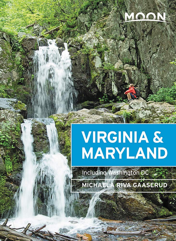
Maryland
Beschrijving
Maryland, "America in miniature", offers a variety of landscapes, worthwhile to explore.
This relatively small New England state, bordering on the Atlantic, has a large number of long distance trails. Even the Appalachian Trail touches on Maryland, with 41 miles.
The Great Allegheny Passage (318 miles) runs from Maryland to Washington DC. The all Maryland 185 miles long Chesapeake and Ohio (C&O) Canal Towpath Trail follows the old Chesapeake and Ohio Canal near Potomac River.
Maryland hosts parts of the American Discovery Trail, the East Coast Greenway, the Tuscarora Trail and the Eastern Continental Trail.
Kaart

Paden in deze landsdeel
Links
Feiten
Verslagen
Gidsen en kaarten
Overnachting
Organisaties
Reisorganisaties
GPS
Anders
Boeken
De Zwerver
Netherlands
2020
Netherlands
2020
De Zwerver
Netherlands
2020
Netherlands
2020
- Reisgids Washington DC | Moon Travel Guides
- From strolling the National Mall to hobnobbing at happy hour, get to know the nation`s capital with Moon Washington DC. *Navigate the Neighbourhoods: Follow one of our guided neighbourhood walks through the National Mall, Dupont Circle, U Street, and more*Explore the City: Snap the perfect photo of the Washington Monument, stand where MLK... Read more
- Also available from:
- Stanfords, United Kingdom

Stanfords
United Kingdom
2020
United Kingdom
2020
- Moon Washington DC (Second Edition): Neighborhood Walks, Historic Highlights, Beloved Local Spots
- From strolling the National Mall to hobnobbing at happy hour, get to know the nation`s capital with Moon Washington DC. *Navigate the Neighbourhoods: Follow one of our guided neighbourhood walks through the National Mall, Dupont Circle, U Street, and more*Explore the City: Snap the perfect photo of the Washington Monument, stand where MLK... Read more

De Zwerver
Netherlands
2018
Netherlands
2018
- Wandelgids USA: Appalachian Trail | Conrad Stein Verlag
- Handzame overzichtsgids van deze geweldige en uitdagende lange afstands wandeling in het oosten van de USA: de Appalachian Trail. Het is een ideale gids om de hele tocht voor te bereiden en als basisgids bij je te hebben. Goede beschrijvingen van etappes en veel praktische informatie. Het enige wat mager is zijn dekaarten: goed voor overzicht... Read more

De Zwerver
Netherlands
Netherlands

Bol.com
Netherlands
Netherlands
- A Sketch & a Prayer
- It's the story and artwork of an artist who had lost all inspiration to draw, until one day he walked across a bald mountain in North Carolina and took a photograph of a lone white blaze that marks the path of the 2189 mile long Appalachian Trail. In that instant, he was catapulted into a world only experienced by long distance hikers. With... Read more
- Also available from:
- Bol.com, Belgium
Bol.com
Belgium
Belgium
- A Sketch & a Prayer
- It's the story and artwork of an artist who had lost all inspiration to draw, until one day he walked across a bald mountain in North Carolina and took a photograph of a lone white blaze that marks the path of the 2189 mile long Appalachian Trail. In that instant, he was catapulted into a world only experienced by long distance hikers. With... Read more
Bol.com
Netherlands
Netherlands
- Fodor's Maine, Vermont & New Hampshire
- Written by locals, Fodor's travel guides have been offering expert advice for all tastes and budgets for more than 80 years. Northern New England is a classic American destination: iconic landscapes such as the rocky Maine coast, Vermont's Green Mountains, and New Hampshire's Lake District are all made for exploring. This full-color guide will... Read more
- Also available from:
- Bol.com, Belgium
Bol.com
Belgium
Belgium
- Fodor's Maine, Vermont & New Hampshire
- Written by locals, Fodor's travel guides have been offering expert advice for all tastes and budgets for more than 80 years. Northern New England is a classic American destination: iconic landscapes such as the rocky Maine coast, Vermont's Green Mountains, and New Hampshire's Lake District are all made for exploring. This full-color guide will... Read more
Bol.com
Netherlands
Netherlands
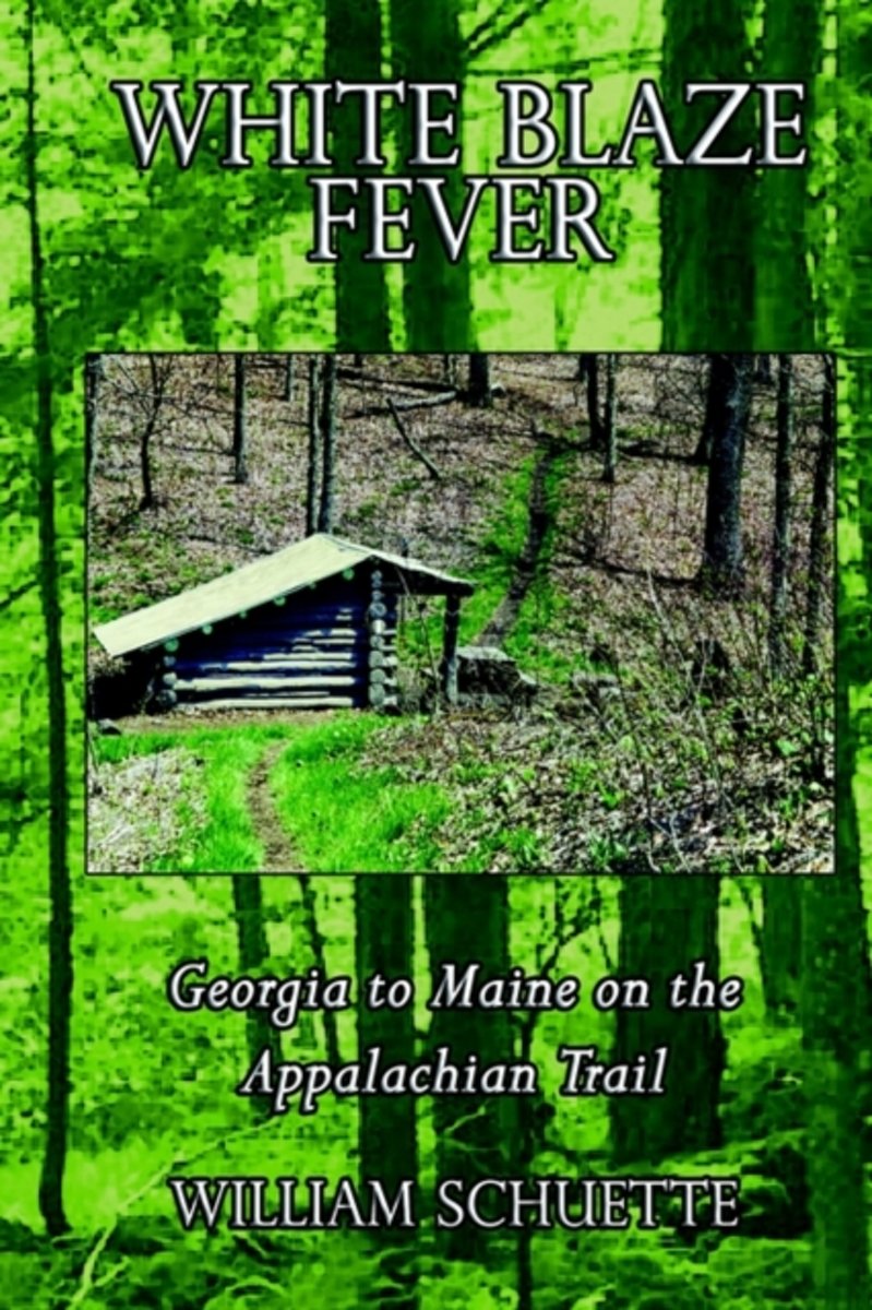
- White Blaze Fever
- It's called "White Blaze Fever" and although you will not find the fever mentioned in any medical journal, have no doubt in your mind - it does exist and no one is immune. Only the most casual, most minute contact with the Appalachian Trail is needed to catch the fever. I now welcome you to be my vicarious hiking partner as we pursue the... Read more
- Also available from:
- Bol.com, Belgium
Bol.com
Belgium
Belgium
- White Blaze Fever
- It's called "White Blaze Fever" and although you will not find the fever mentioned in any medical journal, have no doubt in your mind - it does exist and no one is immune. Only the most casual, most minute contact with the Appalachian Trail is needed to catch the fever. I now welcome you to be my vicarious hiking partner as we pursue the... Read more
Bol.com
Netherlands
Netherlands
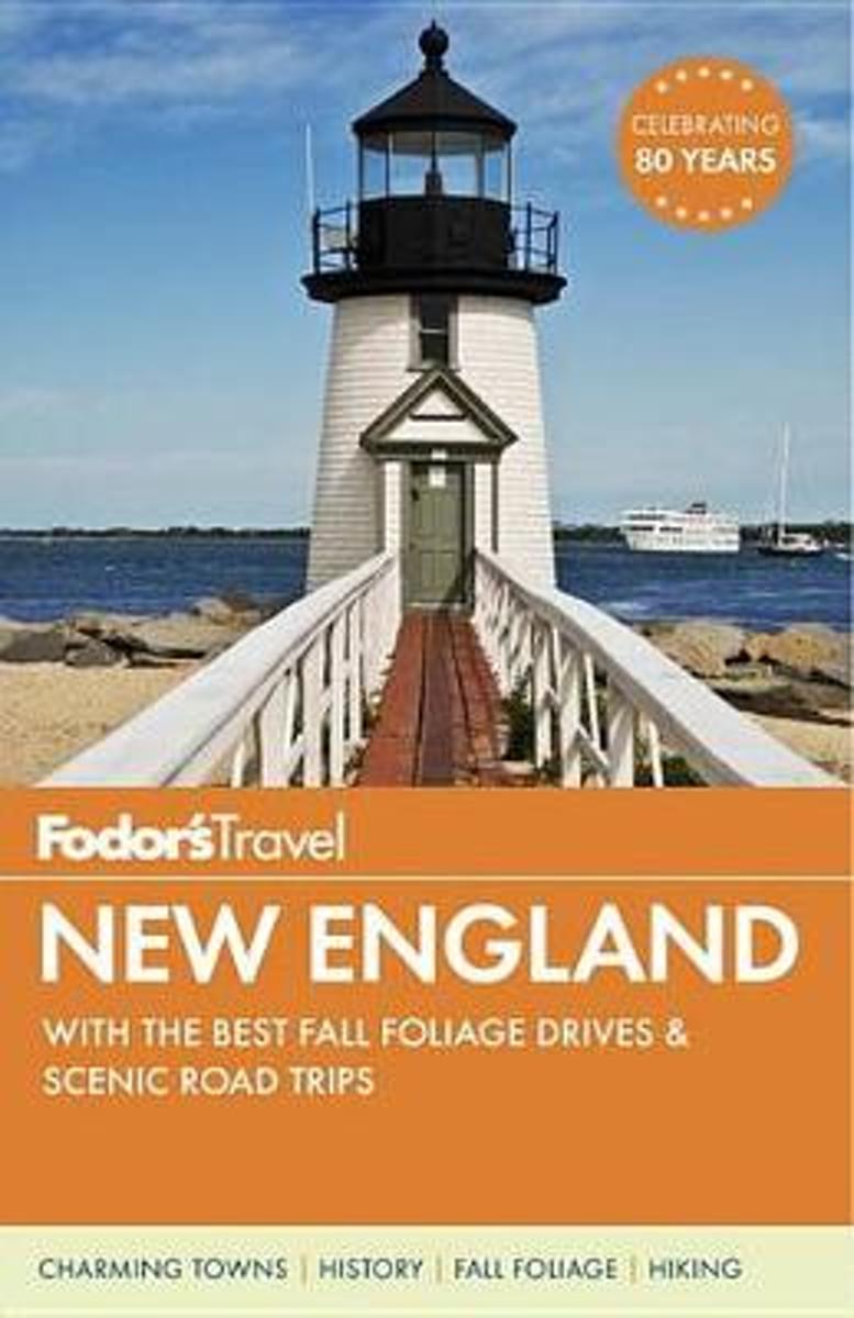
- Fodor's New England
- Written by locals, Fodor's travel guides have been offering expert advice for all tastes and budgets for 80 years. Fodor's New Englandhighlights the bestthis classic American destination has to offer: Boston's Revolutionary-era sites, Connecticut's antiques, Rhode Island's mansions, the rocky Maine coast, Vermont's Green Mountains, and New... Read more
- Also available from:
- Bol.com, Belgium
Bol.com
Belgium
Belgium
- Fodor's New England
- Written by locals, Fodor's travel guides have been offering expert advice for all tastes and budgets for 80 years. Fodor's New Englandhighlights the bestthis classic American destination has to offer: Boston's Revolutionary-era sites, Connecticut's antiques, Rhode Island's mansions, the rocky Maine coast, Vermont's Green Mountains, and New... Read more
Bol.com
Netherlands
Netherlands
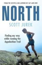
- North
- Heartwrenching and spellbinding.' Christopher McDougall, author of Born to Run Immersive and engaging.' Aron Ralston, author of 127 Hours 2,200 miles. 47 days. One remarkable athlete. Scott Jurek takes on the Appalachian Trail. Scott Jurek is one of the greatest ultramarathon runners of all time and a living legend. North tells the story of his... Read more
- Also available from:
- Bol.com, Belgium
Bol.com
Belgium
Belgium
- North
- Heartwrenching and spellbinding.' Christopher McDougall, author of Born to Run Immersive and engaging.' Aron Ralston, author of 127 Hours 2,200 miles. 47 days. One remarkable athlete. Scott Jurek takes on the Appalachian Trail. Scott Jurek is one of the greatest ultramarathon runners of all time and a living legend. North tells the story of his... Read more
Bol.com
Netherlands
Netherlands
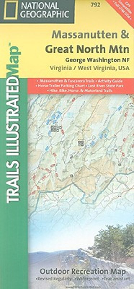
- Massanutten/Great Northern Mountains G.W. & Jefferson N.F.S
- Coverage includes George Washington National Forest. Towns: Harrisonburg, Lurah, Strasburg. Major Trails: Massanutten Mountain, Tuscarora Trail. Read more
- Also available from:
- Bol.com, Belgium
- Stanfords, United Kingdom
- The Book Depository, United Kingdom
Bol.com
Belgium
Belgium
- Massanutten/Great Northern Mountains G.W. & Jefferson N.F.S
- Coverage includes George Washington National Forest. Towns: Harrisonburg, Lurah, Strasburg. Major Trails: Massanutten Mountain, Tuscarora Trail. Read more

Stanfords
United Kingdom
United Kingdom
- George Washington and Jefferson National Forest - Massanutten - Great Northern Mountains VA/WV
- Map No. 792, George Washington and Jefferson National Forest: Massanutten - Great Northern Mountains, VA/WV, in an extensive series of GPS compatible, contoured hiking maps of USA’s national and state parks or forests and other popular recreational areas. Cartography based on the national topographic survey, with additional tourist... Read more

The Book Depository
United Kingdom
United Kingdom
- Massanutten/great Northern Mountains G.w. & Jefferson N.f.s
- Trails Illustrated Other Rec. Areas Read more

Bol.com
Netherlands
Netherlands
- Gravel Cycling
- Head out for adventure on the unpaved back roads of America with Nick Legans complete guide to gravel grinders and bikepacking!Gravel cycling is a glorious return to the purest roots of two-wheeled adventure. From farm roads and miners paths to the high passes of the Rockies and the Alps, gravel cycling and bikepacking will set you free to... Read more
- Also available from:
- Bol.com, Belgium
Bol.com
Belgium
Belgium
- Gravel Cycling
- Head out for adventure on the unpaved back roads of America with Nick Legans complete guide to gravel grinders and bikepacking!Gravel cycling is a glorious return to the purest roots of two-wheeled adventure. From farm roads and miners paths to the high passes of the Rockies and the Alps, gravel cycling and bikepacking will set you free to... Read more
Bol.com
Netherlands
Netherlands
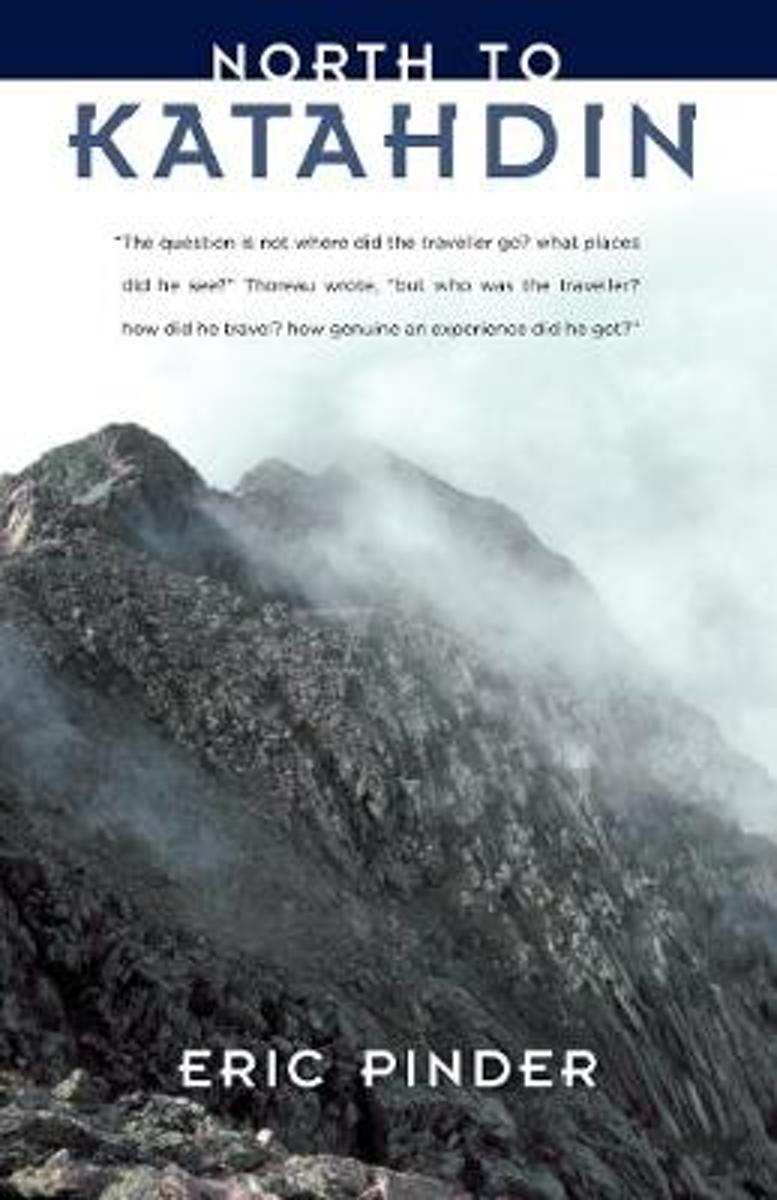
- North to Katahdin
- When Thoreau stood on the flank of Maine's Mt. Katahdin 1846, he was one of a handful of Americans who had ventured so deeply into the wilderness for the mere sake of seeing what was there. Today, hundreds of thousands of people--some with cell phones and GPS--stand where Thoreau did. For some, Katahdin is the long-awaited terminus of the... Read more
- Also available from:
- Bol.com, Belgium
Bol.com
Belgium
Belgium
- North to Katahdin
- When Thoreau stood on the flank of Maine's Mt. Katahdin 1846, he was one of a handful of Americans who had ventured so deeply into the wilderness for the mere sake of seeing what was there. Today, hundreds of thousands of people--some with cell phones and GPS--stand where Thoreau did. For some, Katahdin is the long-awaited terminus of the... Read more

Bol.com
Netherlands
Netherlands
- VI Racconto Come Sono Diventato Ricco
- Se sei felice sei ricco, puoi essere felice anche con poche cose. La vera ricchezza e dentro di te, nel tuo cuore. Non esiste un cuore che non sia ricco. Devi semplicemente vederlo; ti devi vedere ricco e improvvisamente lo sarai. E un miracolo. Non aspettare di avere qualcosa per essere felice, siilo subito, poiche hai gia tutto. La tua... Read more
- Also available from:
- Bol.com, Belgium
Bol.com
Belgium
Belgium
- VI Racconto Come Sono Diventato Ricco
- Se sei felice sei ricco, puoi essere felice anche con poche cose. La vera ricchezza e dentro di te, nel tuo cuore. Non esiste un cuore che non sia ricco. Devi semplicemente vederlo; ti devi vedere ricco e improvvisamente lo sarai. E un miracolo. Non aspettare di avere qualcosa per essere felice, siilo subito, poiche hai gia tutto. La tua... Read more
Bol.com
Netherlands
Netherlands
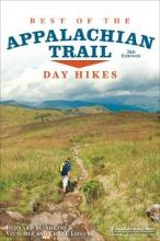
- Best of the Appalachian Trail
- A concise guide to the best day hikes along the entire Appalachian Trail.Summit the iconic Katahdin in Maine, explore Pennsylvania's Chimney Rocks, splash in Tennessee's Laurel Fork Gorge and Falls, and find out where Blood Mountain got its name in the new edition of Best of the Appalachian Trail: Day Hikes by Victoria and Frank Logue and ... Read more
- Also available from:
- Bol.com, Belgium
Bol.com
Belgium
Belgium
- Best of the Appalachian Trail
- A concise guide to the best day hikes along the entire Appalachian Trail.Summit the iconic Katahdin in Maine, explore Pennsylvania's Chimney Rocks, splash in Tennessee's Laurel Fork Gorge and Falls, and find out where Blood Mountain got its name in the new edition of Best of the Appalachian Trail: Day Hikes by Victoria and Frank Logue and ... Read more
Kaarten
De Zwerver
Netherlands
Netherlands
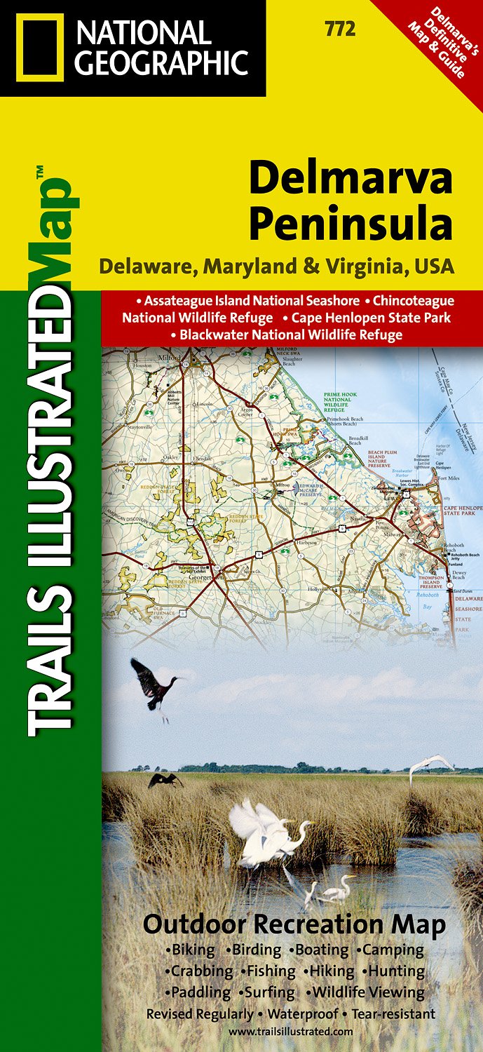
- Wandelkaart - Topografische kaart 772 Delmarva Peninsula | National Geographic
- Prachtige geplastificeerde kaart van het bekende nationaal park. Met alle recreatieve voorzieningen als campsites, maar ook met topografische details en wandelroutes ed. Door uitgekiend kleurgebruik zeer prettig in gebruik. Scheur en watervast! The new Delmarva Trails Illustrated regional topographic recreation map covers all major recreation... Read more
- Also available from:
- Stanfords, United Kingdom

Stanfords
United Kingdom
United Kingdom
- DelMarVa Peninsula - Delaware - Maryland - Virginia Recreational Map
- Map No. 772, DelMarVa Peninsula (Delaware, Maryland, Virginia) Recreational Map, in an extensive series of GPS compatible, contoured hiking maps of USA’s national and state parks or forests and other popular recreational areas. Cartography based on the national topographic survey, with additional tourist information.The maps, with most titles... Read more
Bol.com
Netherlands
Netherlands
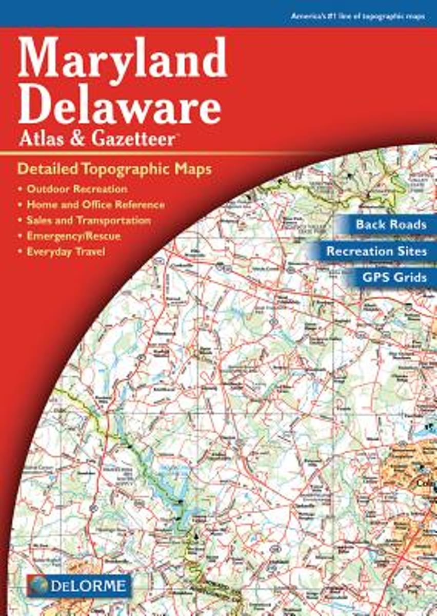
- Maryland-Delaware
- A uniquely useful resource, the Atlas & Gazetteer* Series is great for information on camping, hiking, fishing, hunting, bike and motorcycle touring, birdwatching, back road exploration, and more. A guide is available for all 50 American states. Read more
- Also available from:
- Bol.com, Belgium
- Stanfords, United Kingdom
Bol.com
Belgium
Belgium
- Maryland-Delaware
- A uniquely useful resource, the Atlas & Gazetteer* Series is great for information on camping, hiking, fishing, hunting, bike and motorcycle touring, birdwatching, back road exploration, and more. A guide is available for all 50 American states. Read more

Stanfords
United Kingdom
United Kingdom
- Maryland & Delaware Recreationa Atlas & Gazetteer
- Maryland and Delaware Recreational Atlas & Gazetteer at 1:100,000 approx. in a series of large format paperback state atlases from DeLorme, with detailed, contoured, GPS compatible topographic mapping. Additional maps provide information on the ecology of the Chesapeake Bay, showing habitats of blue crab, eastern oyster, plus hard and soft... Read more

Bol.com
Netherlands
Netherlands
- Springer & Cohutta Mountains, Chattahoochee National Forest
- Waterproof Tear-Resistant Topographic MapLocated just north of Atlanta, the Chattahoochee National Forest contains the southern terminus of the Appalachian Trail along with an abundance of recreational opportunities for outdoor enthusiasts of all interests.This detailed recreation map contains carefully researched trails, campsites,... Read more
- Also available from:
- Bol.com, Belgium
- Stanfords, United Kingdom
Bol.com
Belgium
Belgium
- Springer & Cohutta Mountains, Chattahoochee National Forest
- Waterproof Tear-Resistant Topographic MapLocated just north of Atlanta, the Chattahoochee National Forest contains the southern terminus of the Appalachian Trail along with an abundance of recreational opportunities for outdoor enthusiasts of all interests.This detailed recreation map contains carefully researched trails, campsites,... Read more

Stanfords
United Kingdom
United Kingdom
- Chattahoochee National Forest - Springer and Cohutta Mountains GA/SC 777
- Map No. 777, Chattahoochee National Forest: Springer and Cohutta Mountains, GA/SC, in an extensive series of GPS compatible, contoured hiking maps of USA’s national and state parks or forests and other popular recreational areas. Cartography based on the national topographic survey, with additional tourist information.The maps, with most titles... Read more

De Zwerver
Netherlands
Netherlands
- Wandelkaart - Topografische kaart 318 Mount Rogers High Country - Grayson Highlands State Park | National Geographic
- Prachtige geplastificeerde kaart van het bekende nationaal park. Met alle recreatieve voorzieningen als campsites, maar ook met topografische details en wandelroutes ed. Door uitgekiend kleurgebruik zeer prettig in gebruik. Scheur en watervast! National Geographic's Trails Illustrated map of Mount Rogers High Country and Grayson Highlands... Read more
- Also available from:
- Bol.com, Netherlands
- Bol.com, Belgium
- Stanfords, United Kingdom
- The Book Depository, United Kingdom

Bol.com
Netherlands
Netherlands
- Mount Rogers High Country
- Waterproof Tear-Resistant Topographic MapNational Geographic's Trails Illustrated map of Mount Rogers High Country and Grayson Highlands State Park, Southwest Virginia, is a two-sided, waterproof, topographic trail map designed to meet the needs of outdoor enthusiasts with unmatched durability and detail. This map was created in... Read more
Bol.com
Belgium
Belgium
- Mount Rogers High Country
- Waterproof Tear-Resistant Topographic MapNational Geographic's Trails Illustrated map of Mount Rogers High Country and Grayson Highlands State Park, Southwest Virginia, is a two-sided, waterproof, topographic trail map designed to meet the needs of outdoor enthusiasts with unmatched durability and detail. This map was created in... Read more

Stanfords
United Kingdom
United Kingdom
- Mount Rogers High Country VA
- Map No. 318 - Mount Rogers High Country in Virginia in an extensive series of GPS compatible, contoured hiking maps of USA’s national and state parks or forests and other popular recreational areas. Cartography based on the national topographic survey, with additional tourist information.The maps, with most titles now printed on light,... Read more

The Book Depository
United Kingdom
United Kingdom
- Mount Rogers High Country
- Trails Illustrated Other Rec. Areas Read more

De Zwerver
Netherlands
Netherlands
- Wandelkaart - Topografische kaart 747 Green Mountain National Forest North - Moosalamoo NRA - Rutland | National Geographic
- Prachtige geplastificeerde kaart van het bekende nationaal park. Met alle recreatieve voorzieningen als campsites, maar ook met topografische details en wandelroutes ed. Door uitgekiend kleurgebruik zeer prettig in gebruik. Scheur en watervast! National Geographic's Green Mountain National Forest North Trails Illustrated topographic map is... Read more
- Also available from:
- Bol.com, Netherlands
- Bol.com, Belgium
- Stanfords, United Kingdom
- The Book Depository, United Kingdom

Bol.com
Netherlands
Netherlands
- Green Mountains N.F., Moosalamoo NRA/Rutland
- Waterproof Tear-Resistant Topographic MapNational Geographic's Green Mountain National Forest North Trails Illustrated topographic map is the most comprehensive available for outdoor enthusiasts of all types. Designed to be easy-to-read, yet highly detailed this map includes a comprehensive road and trail network distinguishing between... Read more
Bol.com
Belgium
Belgium
- Green Mountains N.F., Moosalamoo NRA/Rutland
- Waterproof Tear-Resistant Topographic MapNational Geographic's Green Mountain National Forest North Trails Illustrated topographic map is the most comprehensive available for outdoor enthusiasts of all types. Designed to be easy-to-read, yet highly detailed this map includes a comprehensive road and trail network distinguishing between... Read more

Stanfords
United Kingdom
United Kingdom
- Green Mountain National Forest - Moosalamoo NRA - Rutland VT
- Map No. 747, Green Mountain National Forest: Moosalamoo NRA - Rutland area in Vermont, in an extensive series of GPS compatible, contoured hiking maps of USA’s national and state parks or forests and other popular recreational areas. Cartography based on the national topographic survey, with additional tourist information.The maps, with most... Read more

The Book Depository
United Kingdom
United Kingdom
- Green Mountains N.f., Moosalamoo Nra/rutland
- Trails Illustrated Other Rec. Areas Read more

De Zwerver
Netherlands
Netherlands
- Wandelkaart - Topografische kaart 316 Cades Cove - Elkmont - Great Smoky Mountains National Park | National Geographic
- Prachtige geplastificeerde kaart van het bekende nationaal park. Met alle recreatieve voorzieningen als campsites, maar ook met topografische details en wandelroutes ed. Door uitgekiend kleurgebruik zeer prettig in gebruik. Scheur en watervast! This title provides an increased scale of one of the most visited National Parks in the US, and one... Read more
- Also available from:
- Bol.com, Netherlands
- Bol.com, Belgium
- Stanfords, United Kingdom

Bol.com
Netherlands
Netherlands
- Cades Cove/elkmont, Great Smoky Mountains National Park
- Waterproof Tear-Resistant Topographic MapThis title provides an increased scale of one of the most visited National Parks in the US, and one of our more popular map titles. This increased scale will provide greater detail to the backcountry users and Appalachian Trail through-hikers.Park Introduction:Great Smoky Mountains National Park is... Read more
Bol.com
Belgium
Belgium
- Cades Cove/elkmont, Great Smoky Mountains National Park
- Waterproof Tear-Resistant Topographic MapThis title provides an increased scale of one of the most visited National Parks in the US, and one of our more popular map titles. This increased scale will provide greater detail to the backcountry users and Appalachian Trail through-hikers.Park Introduction:Great Smoky Mountains National Park is... Read more

Stanfords
United Kingdom
United Kingdom
- Cades Cove - Elkmont - Great Smoky Mountains National Park NC/TN
- Map No. 316, Great Smoky Mountains National Park: Cades Cove - Elkmont, NC/TN, in an extensive series of GPS compatible, contoured hiking maps of USA’s national and state parks or forests and other popular recreational areas. Cartography based on the national topographic survey, with additional tourist information.The maps, with most titles now... Read more