
Montana
Beschrijving
Montana, a north country state bordering on Canada, has a mountainous west part, bordering on Idaho.
Here you will find the Continental Divide Trail (961 miles of it), the Great Western Trail, and the Pacific Northwest Trail.
Best for hiking is the Glacier National Park with alpine hiking and passes covered in snow until well into July.
There are major national forests in Montana, offering thousends of miles of spectacular hiking: Flathead National Forest, Lolo National Forest, Gallatin National Forest, Lewis and Clark national Forest, Beaverhead National Forest, Bitterroot National Forest, Kootenai National Forest, to mention the most important ones.
Kaart

Paden in deze landsdeel
Links
Feiten
Verslagen
Gidsen en kaarten
Overnachting
Organisaties
Reisorganisaties
GPS
Anders
Boeken
De Zwerver
Netherlands
Netherlands
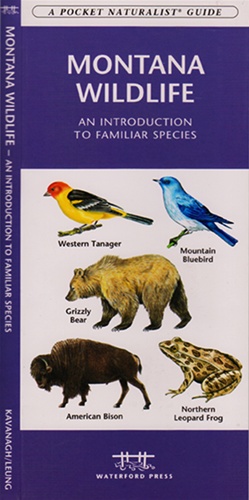
- Vogelgids - Natuurgids Montana Wildlife | Waterford Press
- the Pocket Naturalist card is a pocket-sized, folding card which provides simplified, easy-to-use reference to what everyone should know about familiar plants, animals, and natural history. Maps are included to highlight prominent sanctuaries and outstanding natural attractions. Every card is laminated so that it is waterproof and practical for... Read more
Bol.com
Netherlands
Netherlands
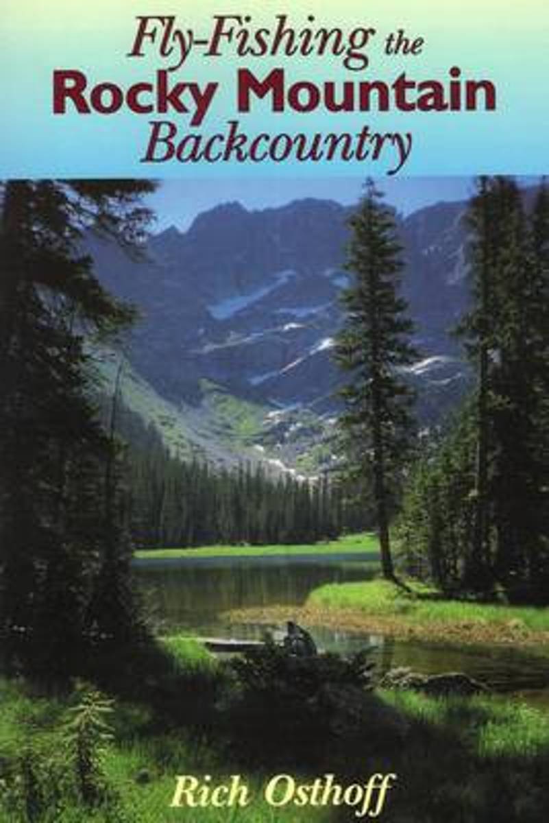
- Fly-Fishing the Rocky Mountain Backcountry
- How to reach and fish remote waters in Montana, Wyoming, Colorado, Utah, Idaho, and Oregon. Read more
- Also available from:
- Bol.com, Belgium
Bol.com
Belgium
Belgium
- Fly-Fishing the Rocky Mountain Backcountry
- How to reach and fish remote waters in Montana, Wyoming, Colorado, Utah, Idaho, and Oregon. Read more
Bol.com
Netherlands
2017
Netherlands
2017
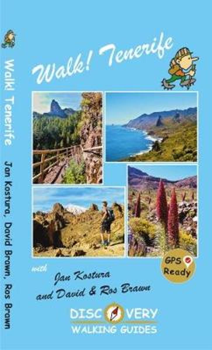
- Walk! Tenerife
- TENERIFE - A WALKER'S ISLAND Tenerife is a big island - 2034 square kilometres big. It offers the walker a wide variety of exciting landscapes to choose from; everything from coastal strolls, high altitude summits, pine forests and laurel forests, challenging and strenuous routes to easy country walks. Walk! Tenerife is a comprehensive walking... Read more
- Also available from:
- Bol.com, Belgium
Bol.com
Belgium
2017
Belgium
2017
- Walk! Tenerife
- TENERIFE - A WALKER'S ISLAND Tenerife is a big island - 2034 square kilometres big. It offers the walker a wide variety of exciting landscapes to choose from; everything from coastal strolls, high altitude summits, pine forests and laurel forests, challenging and strenuous routes to easy country walks. Walk! Tenerife is a comprehensive walking... Read more
Bol.com
Netherlands
Netherlands
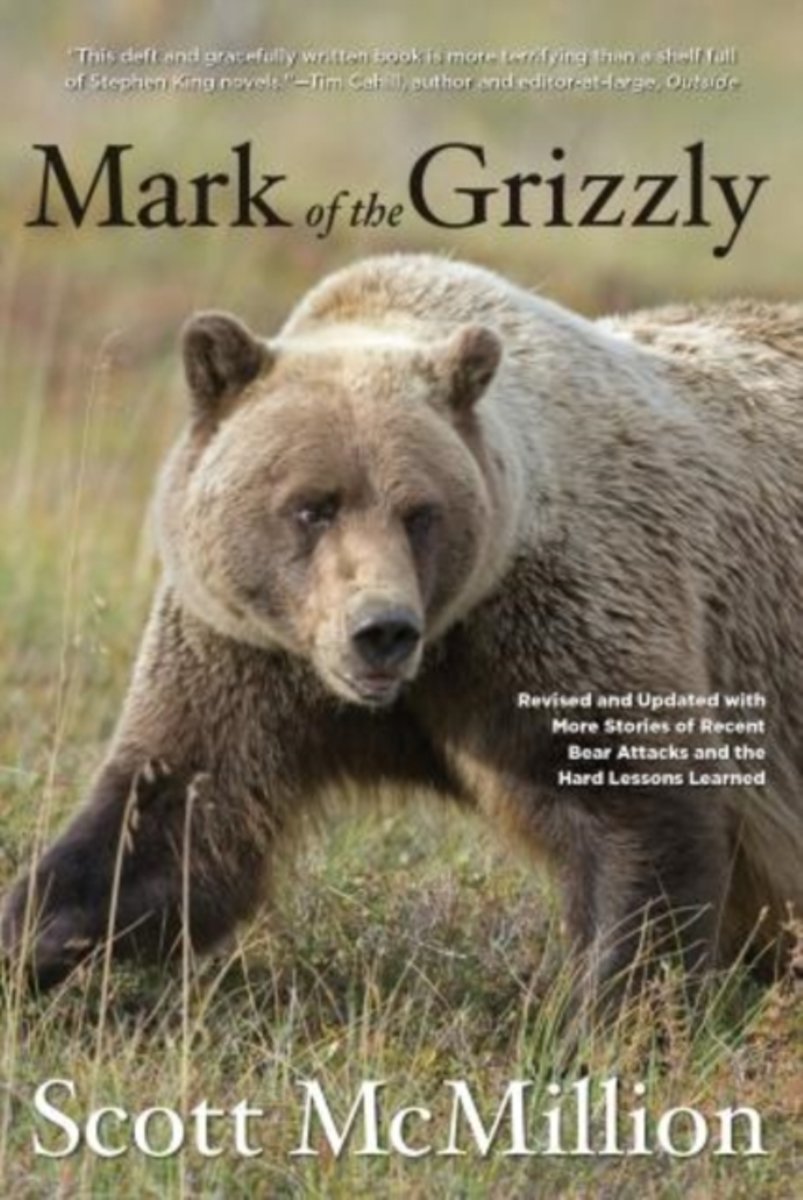
- Mark of the Grizzly
- A must-read about these magnificent but sometimes deadly creaturesthoroughly revised, expanded, and updatedEvery year, millions of people travel to grizzly country, hoping for a glimpse of the Great Bear. And every year, somebody is attacked. The power of the grizzly is almost mythical and has become the stuff of legend.Mark of the Grizzly... Read more
- Also available from:
- Bol.com, Belgium
Bol.com
Belgium
Belgium
- Mark of the Grizzly
- A must-read about these magnificent but sometimes deadly creaturesthoroughly revised, expanded, and updatedEvery year, millions of people travel to grizzly country, hoping for a glimpse of the Great Bear. And every year, somebody is attacked. The power of the grizzly is almost mythical and has become the stuff of legend.Mark of the Grizzly... Read more
Bol.com
Netherlands
Netherlands
- Willis Canyon
- Waterproof Tear-Resistant Topographic Map National Geographics Trails Illustrated map of Willis Canyon in Bryce Canyon National Park is designed to meet the needs of outdoor enthusiasts with unmatched durability and detail. Expertly researched and created in partnership with local land management agencies, this map features Kodachrome Basin... Read more
- Also available from:
- Bol.com, Belgium
- Stanfords, United Kingdom
Bol.com
Belgium
Belgium
- Willis Canyon
- Waterproof Tear-Resistant Topographic Map National Geographics Trails Illustrated map of Willis Canyon in Bryce Canyon National Park is designed to meet the needs of outdoor enthusiasts with unmatched durability and detail. Expertly researched and created in partnership with local land management agencies, this map features Kodachrome Basin... Read more

Stanfords
United Kingdom
United Kingdom
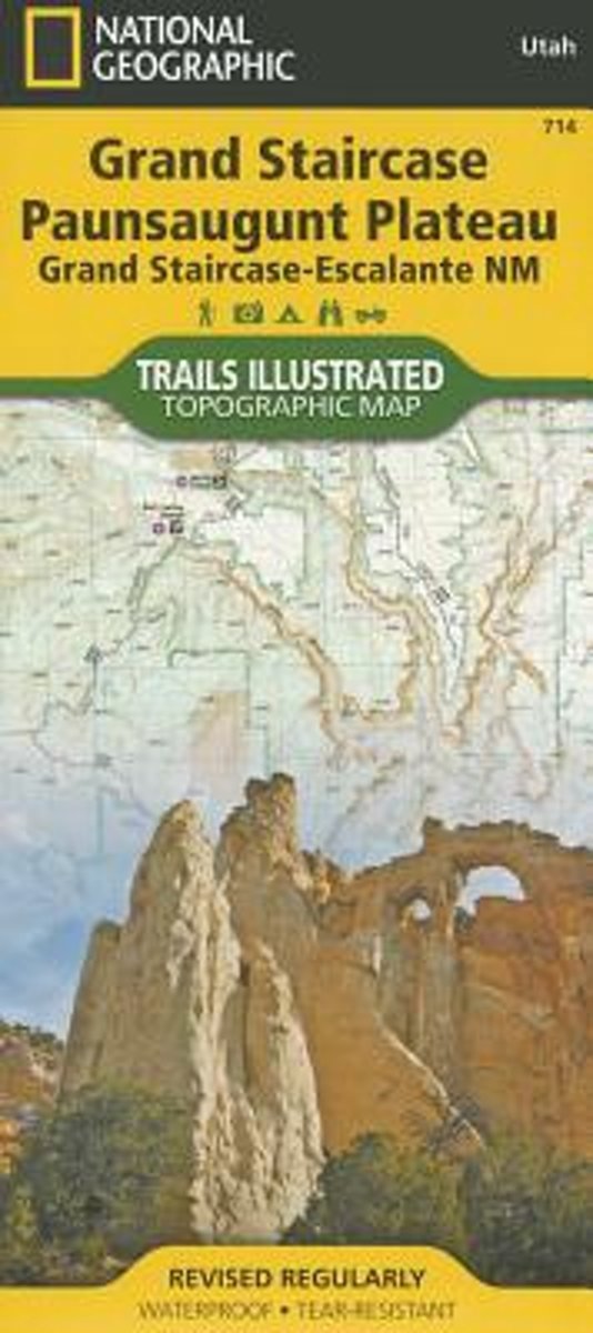
- Grand Staircase - Paunsaugunt Plateau - Grand Staircase-Escalante NM
- Map No. 714 covering at 1:75,000 the Grand Staircase, Paunsaugunt Plateau (Grand Staircase-Escalante National Monument) area of Utah. The title is part of an extensive series in the National Geographic’s Trails Illustrated imprint of GPS compatible, contoured hiking maps of USA’s national and state parks or forests and other popular... Read more
Bol.com
Netherlands
Netherlands
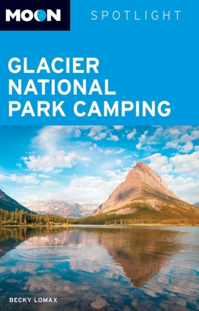
- Moon Spotlight Glacier National Park Camping
- Moon Spotlight Glacier National Park Camping is a 115-page compact guide covering the region's best campsites--including Apgar and Many Glacier--perfect for those looking for a a place to pitch a tent. Writer, photographer, and naturalist Becky Lomax provides insight on each campsite description, such as the number of campgrounds, tips on gear... Read more
- Also available from:
- Bol.com, Belgium
Bol.com
Belgium
Belgium
- Moon Spotlight Glacier National Park Camping
- Moon Spotlight Glacier National Park Camping is a 115-page compact guide covering the region's best campsites--including Apgar and Many Glacier--perfect for those looking for a a place to pitch a tent. Writer, photographer, and naturalist Becky Lomax provides insight on each campsite description, such as the number of campgrounds, tips on gear... Read more
Bol.com
Netherlands
Netherlands
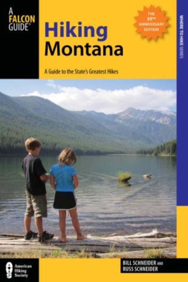
- Hiking Montana
- Hiking Montana offers 100 of the best hikes in Big Sky Country, from pleasant family outings to backcountry adventures. This is the classic guide to Montana hiking, now completely field-checked and updated. Read more
- Also available from:
- Bol.com, Belgium
- The Book Depository, United Kingdom
Bol.com
Belgium
Belgium
- Hiking Montana
- Hiking Montana offers 100 of the best hikes in Big Sky Country, from pleasant family outings to backcountry adventures. This is the classic guide to Montana hiking, now completely field-checked and updated. Read more

Bol.com
Netherlands
Netherlands
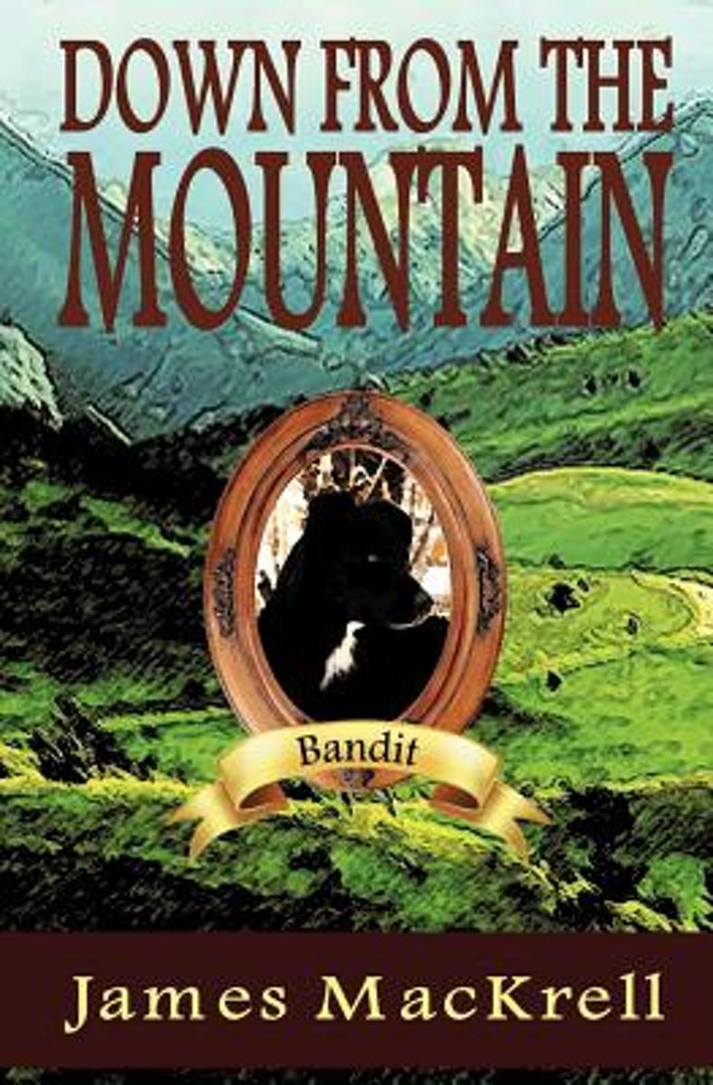
- Down from the Mountain
- Down from the Mountain is being hailed as one of the best Dog Stories of our time. Set in the mountains of Montana this is the story of the bravery and loyalty of Bandit, an Australian Shepherd who is raised by the wolf Sheena. A gripping adventure that will keep the pages turning. Through tears and sorrow this great dog returns to his home to... Read more
- Also available from:
- Bol.com, Belgium
Bol.com
Belgium
Belgium
- Down from the Mountain
- Down from the Mountain is being hailed as one of the best Dog Stories of our time. Set in the mountains of Montana this is the story of the bravery and loyalty of Bandit, an Australian Shepherd who is raised by the wolf Sheena. A gripping adventure that will keep the pages turning. Through tears and sorrow this great dog returns to his home to... Read more

Bol.com
Netherlands
Netherlands
- Continental Divide Trail Pocket Maps - Wyoming
- Wyoming1st Edition - December 15, 2014The Continental Divide Trail Pocket Map Series is a complete and concise set of topographic maps created withdigitized base maps covering every step of the 3,016 mile trail from Mexico to Canada.The most current data available! This reflects the recently located, official CDTThe land cover, hydrology and... Read more
- Also available from:
- Bol.com, Belgium
Bol.com
Belgium
Belgium
- Continental Divide Trail Pocket Maps - Wyoming
- Wyoming1st Edition - December 15, 2014The Continental Divide Trail Pocket Map Series is a complete and concise set of topographic maps created withdigitized base maps covering every step of the 3,016 mile trail from Mexico to Canada.The most current data available! This reflects the recently located, official CDTThe land cover, hydrology and... Read more
Bol.com
Netherlands
Netherlands
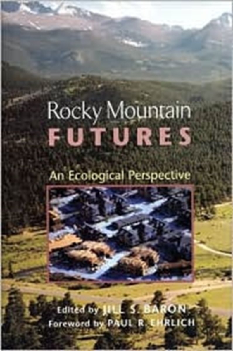
- Rocky Mountain Futures
- The Rocky Mountain West is largely arid and steep, with ecological scars from past human use visible for hundreds of years. Just how damaging were the past 150 years of activity? How do current rates of disturbance compare with past mining, grazing, and water diversion activities? In the face of constant change, what constitutes a "natural"... Read more
- Also available from:
- Bol.com, Belgium
Bol.com
Belgium
Belgium
- Rocky Mountain Futures
- The Rocky Mountain West is largely arid and steep, with ecological scars from past human use visible for hundreds of years. Just how damaging were the past 150 years of activity? How do current rates of disturbance compare with past mining, grazing, and water diversion activities? In the face of constant change, what constitutes a "natural"... Read more
Bol.com
Netherlands
Netherlands
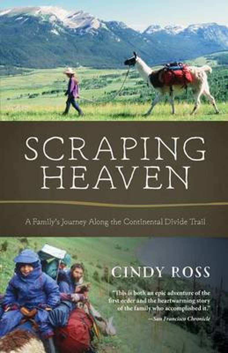
- Scraping Heaven
- More than 3,000 miles of trail by foot and mountain bikes with llamas and toddlers . . .What could go wrong? Scraping Heaven is the story of a family's adventurous trek over the rooftop of North America, a warm and heartfelt account with a powerful message for parents, long-distance hikers, and outdoor adventurers alike. The Continental Divide... Read more
- Also available from:
- Bol.com, Belgium
Bol.com
Belgium
Belgium
- Scraping Heaven
- More than 3,000 miles of trail by foot and mountain bikes with llamas and toddlers . . .What could go wrong? Scraping Heaven is the story of a family's adventurous trek over the rooftop of North America, a warm and heartfelt account with a powerful message for parents, long-distance hikers, and outdoor adventurers alike. The Continental Divide... Read more
Bol.com
Netherlands
Netherlands
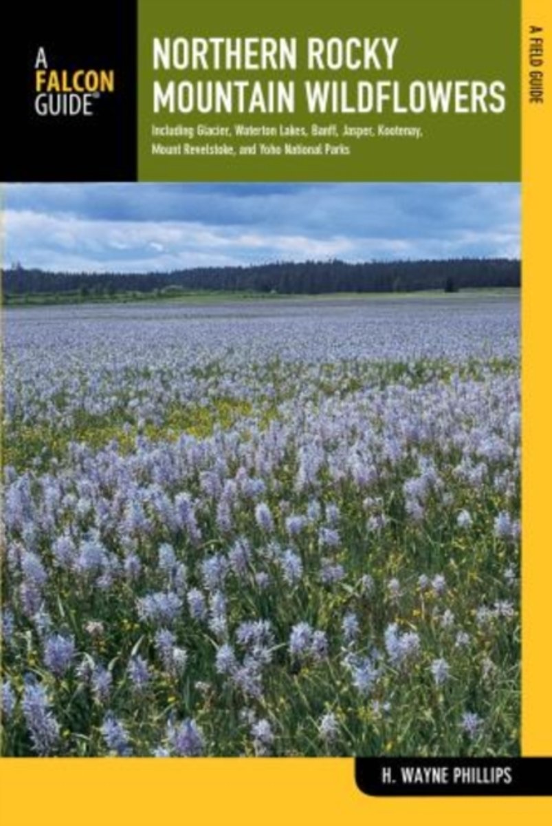
- Northern Rocky Mountain Wildflowers
- Fully revised and upated, Northern Rocky Mountain Wildflowers features more than 300 species of wildflowers found throughout northwestern Montana, northern Idaho, northeastern Washington, southeastern British Columbia, and southwestern Alberta. This valuable reference is organized by color and family for easy plant identification. You won't... Read more
- Also available from:
- Bol.com, Belgium
Bol.com
Belgium
Belgium
- Northern Rocky Mountain Wildflowers
- Fully revised and upated, Northern Rocky Mountain Wildflowers features more than 300 species of wildflowers found throughout northwestern Montana, northern Idaho, northeastern Washington, southeastern British Columbia, and southwestern Alberta. This valuable reference is organized by color and family for easy plant identification. You won't... Read more
Bol.com
Netherlands
Netherlands
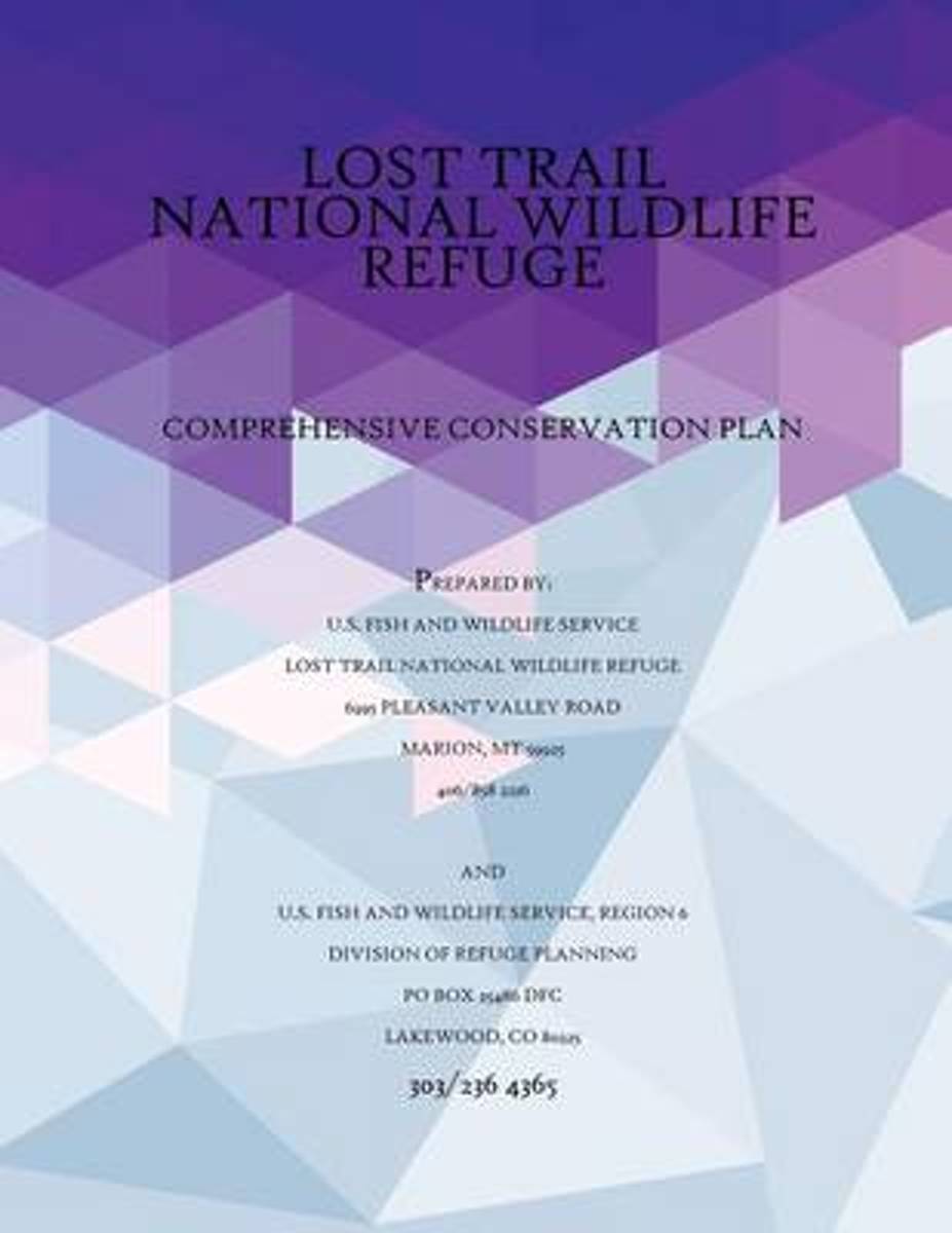
- Comprehensive Conservation Plan Lost Trail National Wildlife Refuge, September 2005
- This is the summary of the Comprehensive Conservation Plan (CCP) for the Lost Trail National Wildlife Refuge, Montana. Although the Lost Trail National Wildlife Refuge currently administers the Swan River National Wildlife Refuge and five waterfowl production areas, the CCP only addresses management of the Lost Trail National Wildlife Refuge.... Read more
- Also available from:
- Bol.com, Belgium
Bol.com
Belgium
Belgium
- Comprehensive Conservation Plan Lost Trail National Wildlife Refuge, September 2005
- This is the summary of the Comprehensive Conservation Plan (CCP) for the Lost Trail National Wildlife Refuge, Montana. Although the Lost Trail National Wildlife Refuge currently administers the Swan River National Wildlife Refuge and five waterfowl production areas, the CCP only addresses management of the Lost Trail National Wildlife Refuge.... Read more
Bol.com
Netherlands
Netherlands
- Backpacking Essentials
- Backpacking Essentials: A Quick Start Guide to Backpacking Light for BeginnersPicture yourself going backpacking in the Great Smokey Mountains. Got it? What would that look like? Do you imagine yourself with a 100-pound pack on your back? Stooped over under the weight? Exhausted after less than a mile of hiking? That would be WRONG! Backpacking... Read more
- Also available from:
- Bol.com, Belgium
- The Book Depository, United Kingdom
Bol.com
Belgium
Belgium
- Backpacking Essentials
- Backpacking Essentials: A Quick Start Guide to Backpacking Light for BeginnersPicture yourself going backpacking in the Great Smokey Mountains. Got it? What would that look like? Do you imagine yourself with a 100-pound pack on your back? Stooped over under the weight? Exhausted after less than a mile of hiking? That would be WRONG! Backpacking... Read more

The Book Depository
United Kingdom
United Kingdom
- Backpacking Essentials
- A Quick Start Guide to Backpacking Light for Beginners Read more
Kaarten
De Zwerver
Netherlands
Netherlands
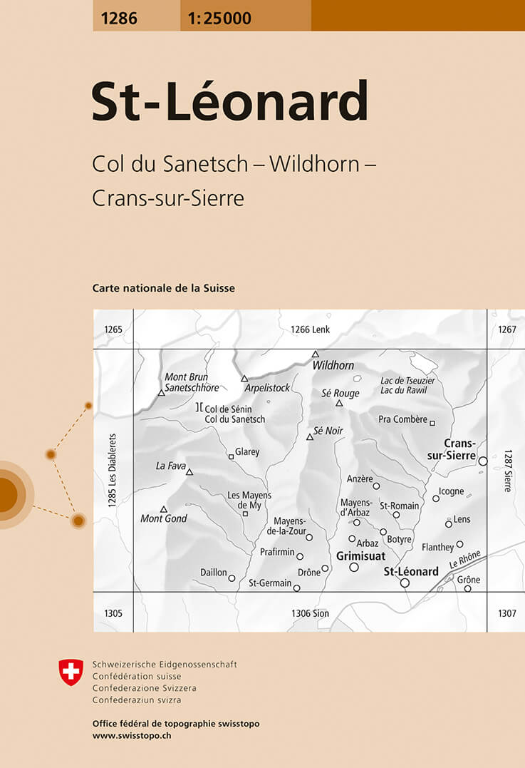
- Wandelkaart - Topografische kaart 1286 St.Leonard | Swisstopo
- Zeer gedetailleerde wandelkaart van een deel van Zwitserland. De topografische details van deze kaarten zijn onovertroffen; de werkelijkheid is perfect weergegeven op deze kaart van uitzonderlijk hoog niveau. Ze zijn geschikt voor alle soorten gebruik: voor eenvoudige wandeltochten in simpel terrein tot zware bergtochten en beklimmingen van de... Read more
- Also available from:
- Stanfords, United Kingdom

Stanfords
United Kingdom
United Kingdom
- St-Leonard Swisstopo 1286
- Map No. 1286, St-Léonard, in the topographic survey of Switzerland at 1:25,000 from Bundesamt für Landestopographie (swisstopo), covering the whole country on 247 small format sheets, with special larger maps published for popular regions including some titles now available in hiking versions.Highly regarded for their superb use of graphic... Read more
De Zwerver
Netherlands
Netherlands
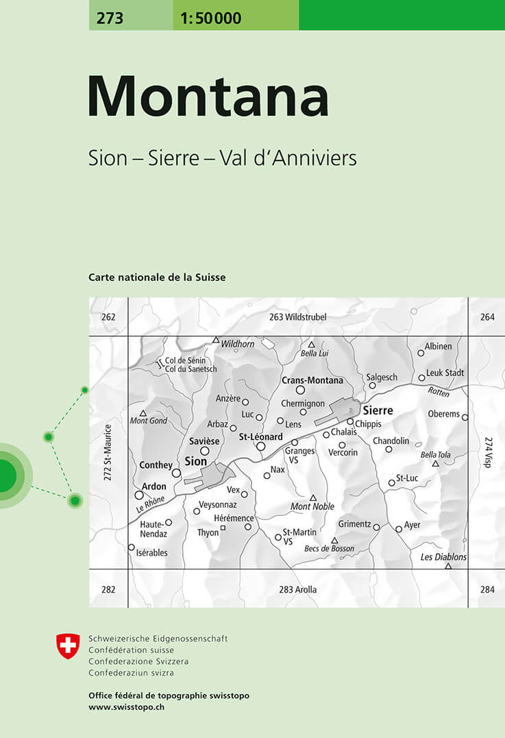
- Wandelkaart - Topografische kaart 273 Montana | Swisstopo
- Montana, map No. 273, in the standard topographic survey of Switzerland at 1:50,000 from Swisstopo, i.e. without the special overprint highlighting walking trails, local bus stops, etc, presented in Swisstopo Read more
- Also available from:
- Stanfords, United Kingdom

Stanfords
United Kingdom
United Kingdom
- Montana Swisstopo 273
- Montana, map No. 273, in the standard topographic survey of Switzerland at 1:50,000 from Swisstopo, i.e. without the special overprint highlighting walking trails, local bus stops, etc, presented in Swisstopo’s hiking editions of the 50K survey. The map is divided by the Rhone Valley with Sierre and Sion and covers north of it the resorts of... Read more
De Zwerver
Netherlands
Netherlands
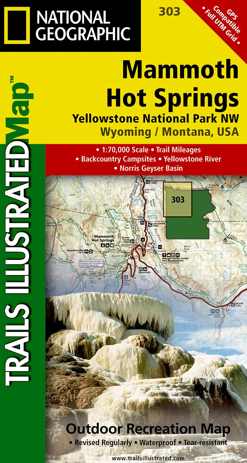
- Wandelkaart - Topografische kaart 303 Mammoth Hot Springs Yellowstone National Park | National Geographic
- Prachtige geplastificeerde kaart van het nationaal park. Met alle recreatieve voorzieningen als campsites, maar ook met topografische details en wandelroutes ed. Door uitgekiend kleurgebruik zeer prettig in gebruik. Scheur en watervast! Coverage of the Old Faithful area of Yellowstone National Park includes Heart Lake BMA, Pitchstone Plateau,... Read more
- Also available from:
- Stanfords, United Kingdom

Stanfords
United Kingdom
United Kingdom
- Mammoth Hot Springs - Yellowstone National Park NW WY/MT
- Map No. 303, Yellowstone NW: Mammoth Hot Springs, WY/MT, in an extensive series of GPS compatible, contoured hiking maps of USA’s national and state parks or forests and other popular recreational areas. Cartography based on the national topographic survey, with additional tourist information.The maps, with most titles now printed on light,... Read more


De Zwerver
Netherlands
Netherlands
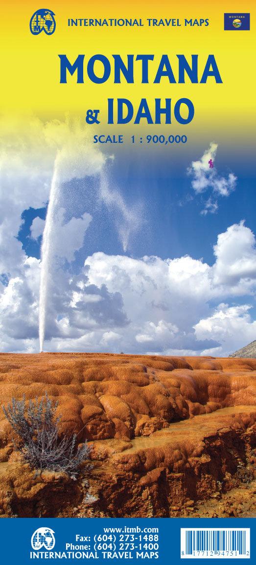
- Wegenkaart - landkaart Idaho, Montana & Wyoming | ITMB
- Idaho,Montana & Wyoming Travel Reference Map 1 : 1 000 000 ab 10.49 EURO International Travel Map ITM. 1st Edition Read more
De Zwerver
Netherlands
Netherlands
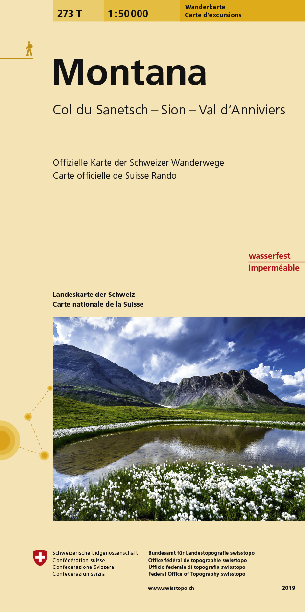
- Wandelkaart 273T Montana | Swisstopo
- Montana area, map No. 273T, at 1:50,000 in a special hiking edition of the country Read more
- Also available from:
- Stanfords, United Kingdom

Stanfords
United Kingdom
United Kingdom
- Montana Swisstopo Hiking 273T
- Montana area, map No. 273T, at 1:50,000 in a special hiking edition of the country’s topographic survey, published by Swisstopo in cooperation with the Swiss Hiking Federation. The map is divided by the Rhone Valley with Sierre and Sion and covers north of it the resorts of Crans-Montana and Lens and the peak of Wildhorn, and to the south most... Read more
De Zwerver
Netherlands
Netherlands
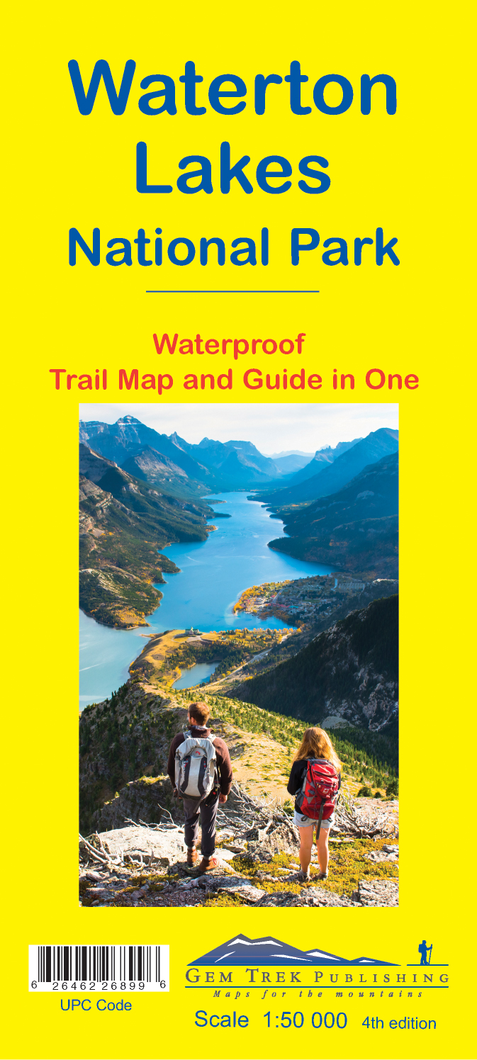
- Wandelkaart 16 Waterton Lakes NP | Gem Trek Maps
- The Waterton Lakes National Park map is one of our most popular trail map-guides for the Canadian Rockies. This map covers all of Waterton Lakes National Park, the eastern end of Akamina-Kishinena Provincial Park, and the Goat Haunt or northern area of Glacier National Park, Montana, at the south end of Upper Waterton Lake. The front of the map... Read more
- Also available from:
- Stanfords, United Kingdom

Stanfords
United Kingdom
United Kingdom
- Waterton Lakes National Park Gem Trek Map
- Waterton Lakes National Park in British Columbia with the northern part of the Glacier National Park across the US border in Montana at 1:50,000 on a light, waterproof and tear-resistant map from Gem Trek with descriptions of recommended treks and bike trails, etc.Contours are at 25m intervals, enhanced by relief shading and colouring for... Read more
De Zwerver
Netherlands
Netherlands
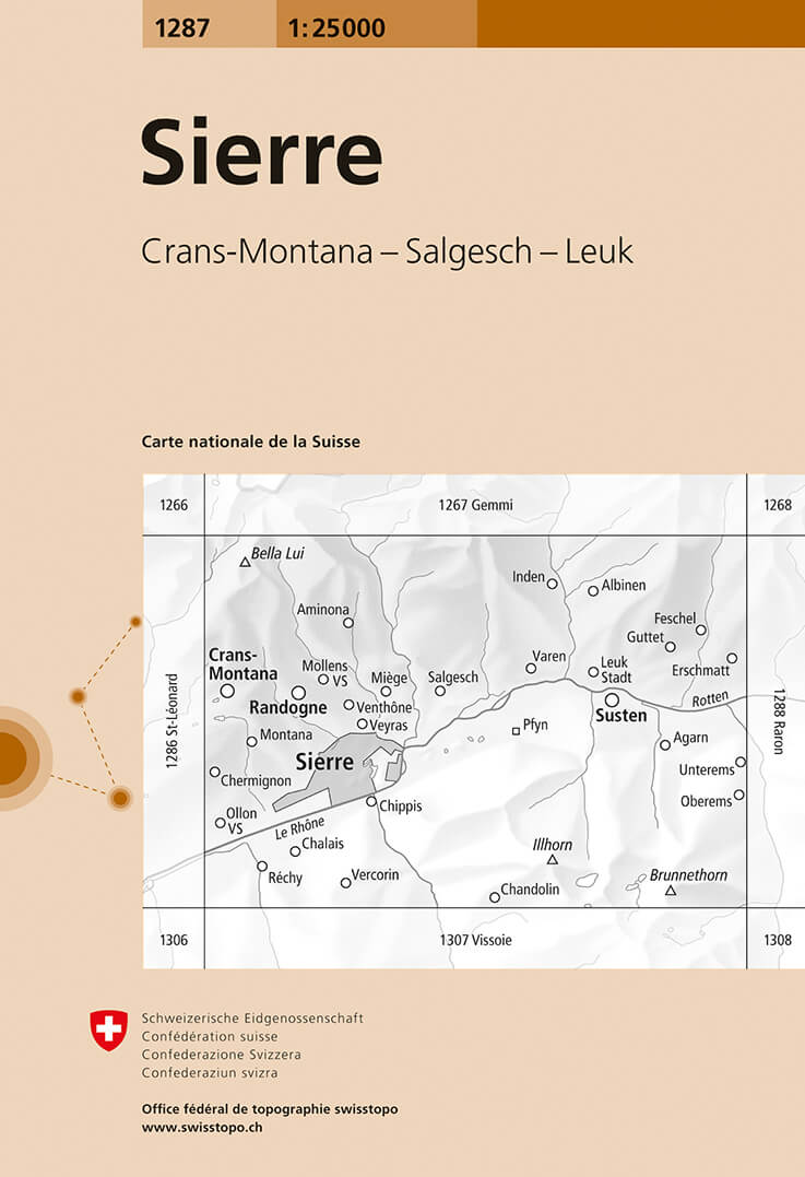
- Wandelkaart - Topografische kaart 1287 Sierre | Swisstopo
- Map No. 1287, Sierre, in the topographic survey of Switzerland at 1:25,000 from Bundesamt f Read more
- Also available from:
- Stanfords, United Kingdom

Stanfords
United Kingdom
United Kingdom
- Sierre Swisstopo 1287
- Map No. 1287, Sierre, in the topographic survey of Switzerland at 1:25,000 from Bundesamt für Landestopographie (swisstopo), covering the whole country on 247 small format sheets, with special larger maps published for popular regions including some titles now available in hiking versions.Highly regarded for their superb use of graphic relief... Read more
Bol.com
Netherlands
Netherlands
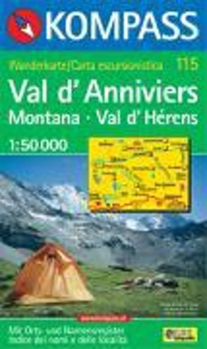
- Val d'Anniviers, Montana, Val d'Hérens WK115
- Deze Kompass wandelkaart, schaal 1:50 000, is ideaal om uw route uit te stippelen en om onderweg te gebruiken • naast de bekende bestemmingen, worden ook de minder bekende vermeld • openbaar vervoer bij begin- of eindpunt van een route aangegeven • eenvoudige wandelingen tot pittige (berg)tochten, voor getrainde en ongetrainde wandelaars • met... Read more
- Also available from:
- Bol.com, Belgium
Bol.com
Belgium
Belgium
- Val d'Anniviers, Montana, Val d'Hérens WK115
- Deze Kompass wandelkaart, schaal 1:50 000, is ideaal om uw route uit te stippelen en om onderweg te gebruiken • naast de bekende bestemmingen, worden ook de minder bekende vermeld • openbaar vervoer bij begin- of eindpunt van een route aangegeven • eenvoudige wandelingen tot pittige (berg)tochten, voor getrainde en ongetrainde wandelaars • met... Read more

De Zwerver
Netherlands
Netherlands
- Wandelkaart - Topografische kaart 215 Glacier - Waterton Lakes National Park | National Geographic
- Prachtige geplastificeerde kaart van het bekende nationaal park. Met alle recreatieve voorzieningen als campsites, maar ook met topografische details en wandelroutes ed. Door uitgekiend kleurgebruik zeer prettig in gebruik. Scheur en watervast! Waterton Lakes National Park, Canada includes Waterton Park, Upper and Middle Waterton Lakes, The... Read more
- Also available from:
- Bol.com, Netherlands
- Bol.com, Belgium
- Stanfords, United Kingdom

Bol.com
Netherlands
Netherlands
- Glacier/waterton Lakes National Parks
- Waterproof Tear-Resistant Topographic MapNational Geographic's Trails Illustrated map of Glacier and Waterton Lakes National Parks offers unparalleled detail for outdoor enthusiasts exploring the pristine landscape of forests, mountains, lakes, and meadows within these two spectacular parks. Created in partnership with local land... Read more
Bol.com
Belgium
Belgium
- Glacier/waterton Lakes National Parks
- Waterproof Tear-Resistant Topographic MapNational Geographic's Trails Illustrated map of Glacier and Waterton Lakes National Parks offers unparalleled detail for outdoor enthusiasts exploring the pristine landscape of forests, mountains, lakes, and meadows within these two spectacular parks. Created in partnership with local land... Read more

Stanfords
United Kingdom
United Kingdom
- Glacier - Waterton Lakes National Park MT
- Map No. 215, Glacier/Waterton Lakes National Park, MT, in an extensive series of GPS compatible, contoured hiking maps of USA’s national and state parks or forests and other popular recreational areas. Cartography based on the national topographic survey, with additional tourist information.The maps, with most titles now printed on light,... Read more

De Zwerver
Netherlands
Netherlands
- Wandelkaart - Topografische kaart 201 Trails Illustrated Yellowstone National Park | National Geographic
- Prachtige geplastificeerde kaart van het bekende nationaal park. Met alle recreatieve voorzieningen als campsites, maar ook met topografische details en wandelroutes ed. Door uitgekiend kleurgebruik zeer prettig in gebruik. Scheur en watervast! Detailed and accurate coverage for Yellowstone National Park. Includes a detailed road network and... Read more
- Also available from:
- Bol.com, Netherlands
- Bol.com, Belgium
- Stanfords, United Kingdom
- The Book Depository, United Kingdom

Bol.com
Netherlands
Netherlands
- Yellowstone National Park
- Waterproof Tear-Resistant Topographic MapNational Geographic's Trails Illustrated map of Yellowstone National Park is designed to meet the needs of outdoor enthusiasts by combining valuable information with unmatched detail of America's first national park. Expertly researched and created in partnership with local land management... Read more
Bol.com
Belgium
Belgium
- Yellowstone National Park
- Waterproof Tear-Resistant Topographic MapNational Geographic's Trails Illustrated map of Yellowstone National Park is designed to meet the needs of outdoor enthusiasts by combining valuable information with unmatched detail of America's first national park. Expertly researched and created in partnership with local land management... Read more

Stanfords
United Kingdom
United Kingdom
- Yellowstone National Park WY/MT NGS Trails Illustrated Map 201
- Map No. 201, Yellowstone National Park, WY/MT, in an extensive series of GPS compatible, contoured hiking maps of USA’s national and state parks or forests and other popular recreational areas. Cartography based on the national topographic survey, with additional tourist information.The maps, with most titles now printed on light, waterproof... Read more

The Book Depository
United Kingdom
United Kingdom
- Yellowstone National Park
- Trails Illustrated National Parks Read more

Bol.com
Netherlands
Netherlands
- Lanzarote WK241
- Toeristische kaart voor wandelen, fietsen en vrije tijd met activiteitengids en stadsplattegronden • goed leesbare schaal van 1:50 000 • te gebruiken met GPS • met praktische informatie over de regio • wandel- en fietspaden • aanbevolen routes • kastelen • uitzichtpunten • stranden en baaien • toeristische informatie • veel topografische... Read more
- Also available from:
- Bol.com, Belgium
Bol.com
Belgium
Belgium
- Lanzarote WK241
- Toeristische kaart voor wandelen, fietsen en vrije tijd met activiteitengids en stadsplattegronden • goed leesbare schaal van 1:50 000 • te gebruiken met GPS • met praktische informatie over de regio • wandel- en fietspaden • aanbevolen routes • kastelen • uitzichtpunten • stranden en baaien • toeristische informatie • veel topografische... Read more

Bol.com
Netherlands
Netherlands
- Tenerife Hikers Maps
- Our latest hiking research on Tenerife has resulted in new editions of Walk! Tenerife and Tenerife Hikers' Super-Durable Maps being published in 2017. Thanks to Jan Kostura's 2016 research we have several new hiking adventures described in detail in Walk! Tenerife. Jan's gps records of his research for new routes and updating of current routes... Read more
- Also available from:
- Bol.com, Belgium
Bol.com
Belgium
Belgium
- Tenerife Hikers Maps
- Our latest hiking research on Tenerife has resulted in new editions of Walk! Tenerife and Tenerife Hikers' Super-Durable Maps being published in 2017. Thanks to Jan Kostura's 2016 research we have several new hiking adventures described in detail in Walk! Tenerife. Jan's gps records of his research for new routes and updating of current routes... Read more

Bol.com
Netherlands
Netherlands
- North Fork, Glacier National Park
- Waterproof Tear-Resistant Topographic MapLocated just north of Kalispell in Montana's northwest corner, Glacier National contains an abundance of recreational opportunities for outdoor enthusiasts of all interests.This detailed topographic recreation map contains carefully researched trails, campsites, forest service roads, and... Read more
- Also available from:
- Bol.com, Belgium
- Stanfords, United Kingdom
Bol.com
Belgium
Belgium
- North Fork, Glacier National Park
- Waterproof Tear-Resistant Topographic MapLocated just north of Kalispell in Montana's northwest corner, Glacier National contains an abundance of recreational opportunities for outdoor enthusiasts of all interests.This detailed topographic recreation map contains carefully researched trails, campsites, forest service roads, and... Read more

Stanfords
United Kingdom
United Kingdom
- North Fork - Glacier National Park MT NGS Trails Illustrated Map 313
- Map No. 314, Glacier National Park: Many Glacier, MT, in an extensive series of GPS compatible, contoured hiking maps of USA’s national and state parks or forests and other popular recreational areas. Cartography based on the national topographic survey, with additional tourist information.The maps, with most titles now printed on light,... Read more