
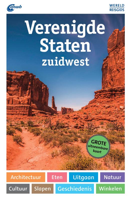
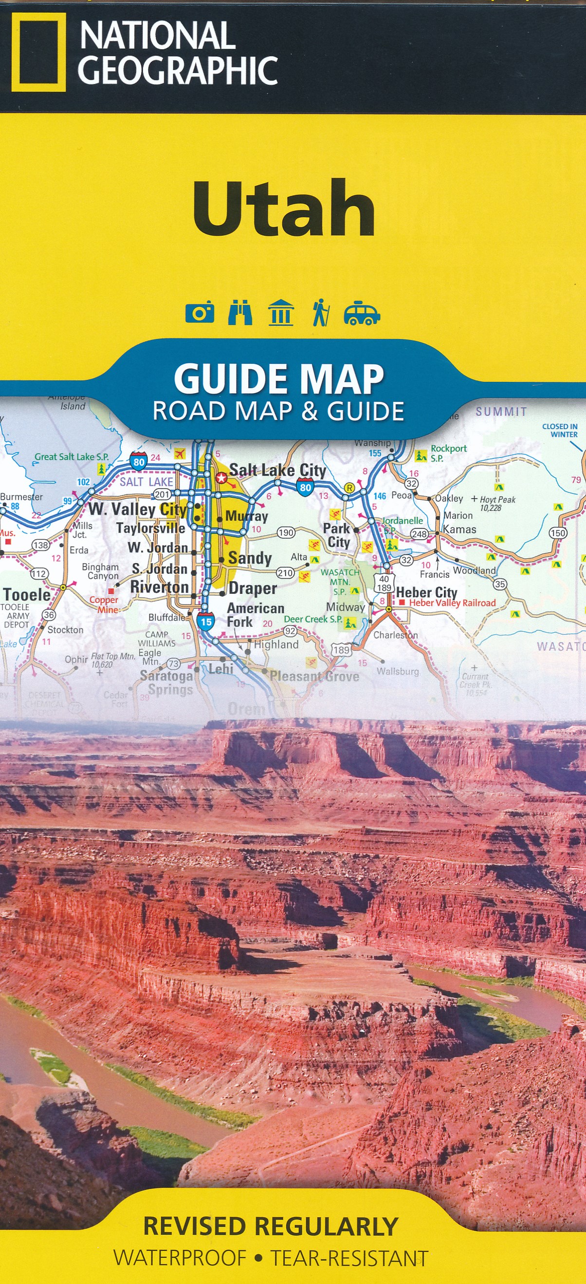
Utah
Beschrijving
Utah is a beautiful state and very good for hiking, since over 60 percent is public land. Utah offers desert, deep canyons and arches, and for those who want to escape the dry land there are the high mountains.
It's main hiking asset is the Great Western Trail, running from north to south from Canada to Mexico. The trail hits a number of national parks and forests which offer good for hiking in their own right: Wasatch-Cache National Forest close to Salt Lake City. Uinta National Forest, Manti-LaSal National Forest, Fishlake National Forest, Capitol Reef National Park, Dixie National Forest, Bryce Canyon National Park and Canyonlands National Park.
The American Discovery Trail crosses Utah. The Bonneville Shoreline Trail (90 miles) follows the shoreline of an ancient lake.
Kaart

Paden in deze landsdeel
Links
Feiten
Verslagen
Gidsen en kaarten
Overnachting
Organisaties
Reisorganisaties
GPS
Anders
Boeken

Netherlands
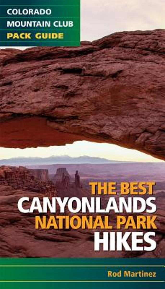
- The Best Canyonlands National Park Hikes
- This pack guide features 20 of the best hikes in Canyonlands National Park, Utah. It includes a wide variety of hikes, from family-friendly to difficult treks. Each route includes detailed comments, a thorough description, driving directions, a map, difficulty rating, and the nearest landmark. The guidebook conveniently fits in your pocket or... Read more
- Also available from:
- Bol.com, Belgium
- The Book Depository, United Kingdom
Belgium
- The Best Canyonlands National Park Hikes
- This pack guide features 20 of the best hikes in Canyonlands National Park, Utah. It includes a wide variety of hikes, from family-friendly to difficult treks. Each route includes detailed comments, a thorough description, driving directions, a map, difficulty rating, and the nearest landmark. The guidebook conveniently fits in your pocket or... Read more

Netherlands
- Hiking Southwest Utah and Adjacent Areas, Volume Two
- This guide is about hiking and generally exploring desert areas, specifically southwest Utah and adjacent areas (southern Nevada and northern Arizona). There is no better way to experience the ruggedness, the history of settlement by Native Americans and later pioneers, and the solitude than by simply hiking and exploring. My purpose in writing... Read more
- Also available from:
- Bol.com, Belgium
Belgium
- Hiking Southwest Utah and Adjacent Areas, Volume Two
- This guide is about hiking and generally exploring desert areas, specifically southwest Utah and adjacent areas (southern Nevada and northern Arizona). There is no better way to experience the ruggedness, the history of settlement by Native Americans and later pioneers, and the solitude than by simply hiking and exploring. My purpose in writing... Read more
Netherlands
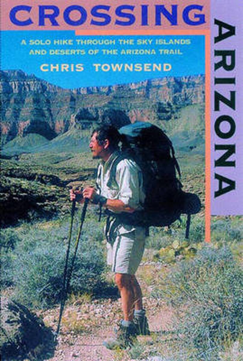
- Crossing Arizona
- The author's engaging account of his solo hike along the Arizona Trailfrom the Mexican border to Utah. Crossing Arizona takes us on an extraordinary journey across some of the harshest, most remote, and arguably most beautiful natural terrain in the Lower 48. Long-distance hiker Chris Townsend, inspired by the writings of Edward Abbey and Colin... Read more
- Also available from:
- Bol.com, Belgium
- The Book Depository, United Kingdom
Belgium
- Crossing Arizona
- The author's engaging account of his solo hike along the Arizona Trailfrom the Mexican border to Utah. Crossing Arizona takes us on an extraordinary journey across some of the harshest, most remote, and arguably most beautiful natural terrain in the Lower 48. Long-distance hiker Chris Townsend, inspired by the writings of Edward Abbey and Colin... Read more

United Kingdom
- Crossing Arizona
- A Solo Hike through the Sky Islands and Deserts of the Arizona Trail Read more
Netherlands
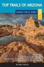
- Top Trails of Arizona
- So you've been done an Arizona vacation, maybe even Colorado and Utah, but have you done the Grand Circle? You may have heard of the term and likely know it well if you live within it. For those that don't know what the Grand Circle means, you aren't alone. It is, in a nutshell, one of the "must do" vacation destinations in North America. The... Read more
- Also available from:
- Bol.com, Belgium
Belgium
- Top Trails of Arizona
- So you've been done an Arizona vacation, maybe even Colorado and Utah, but have you done the Grand Circle? You may have heard of the term and likely know it well if you live within it. For those that don't know what the Grand Circle means, you aren't alone. It is, in a nutshell, one of the "must do" vacation destinations in North America. The... Read more
Netherlands
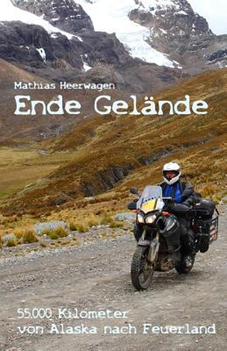
- Ende Gelande - 55.000 Kilometer Von Alaska Nach Feuerland
- Im stromenden Regen stehe ich in Anchorage auf dem Flughafen und hole das Motorrad aus dem Transportgestell, eine Woche spater uberquere ich auf einer abgelegenen Schotterpiste den Polarkreis Richtung Norden. Das kleine Goldgraberstadtchen Dawson City ist jedes Jahr Treffpunkt von rund 250 begeisterten Reisemotorradfahrern aus der ganzen Welt -... Read more
- Also available from:
- Bol.com, Belgium
Belgium
- Ende Gelande - 55.000 Kilometer Von Alaska Nach Feuerland
- Im stromenden Regen stehe ich in Anchorage auf dem Flughafen und hole das Motorrad aus dem Transportgestell, eine Woche spater uberquere ich auf einer abgelegenen Schotterpiste den Polarkreis Richtung Norden. Das kleine Goldgraberstadtchen Dawson City ist jedes Jahr Treffpunkt von rund 250 begeisterten Reisemotorradfahrern aus der ganzen Welt -... Read more

Netherlands
- Utah Wild and Beautiful
- Utah: Wild and Beautiful is a vivid portrayal of Utah s mesas, deserts, sandstone canyons, and mountain ranges by photographer Scott T. Smith of Utah. When Henry David Thoreau wrote that in wildness is the preservation of the world, he might have been writing about Utah, with its five national parks, seven national monuments, thirteen... Read more
- Also available from:
- Bol.com, Belgium
Belgium
- Utah Wild and Beautiful
- Utah: Wild and Beautiful is a vivid portrayal of Utah s mesas, deserts, sandstone canyons, and mountain ranges by photographer Scott T. Smith of Utah. When Henry David Thoreau wrote that in wildness is the preservation of the world, he might have been writing about Utah, with its five national parks, seven national monuments, thirteen... Read more
Netherlands
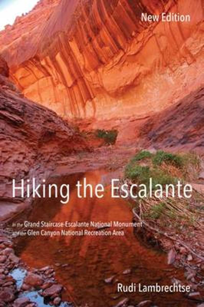
- Hiking the Escalante
- The Grand Staircase-Escalante National Monument covers 1.7 million acres in southern Utah, offering the hiker an experience of deep solitude surrounded by a wealth of geological, biological, and archaeological treasures. Hiking the Escalante opens the door to exploration of this highly scenic area of meandering canyons with relatively few... Read more
- Also available from:
- Bol.com, Belgium
Belgium
- Hiking the Escalante
- The Grand Staircase-Escalante National Monument covers 1.7 million acres in southern Utah, offering the hiker an experience of deep solitude surrounded by a wealth of geological, biological, and archaeological treasures. Hiking the Escalante opens the door to exploration of this highly scenic area of meandering canyons with relatively few... Read more
Netherlands
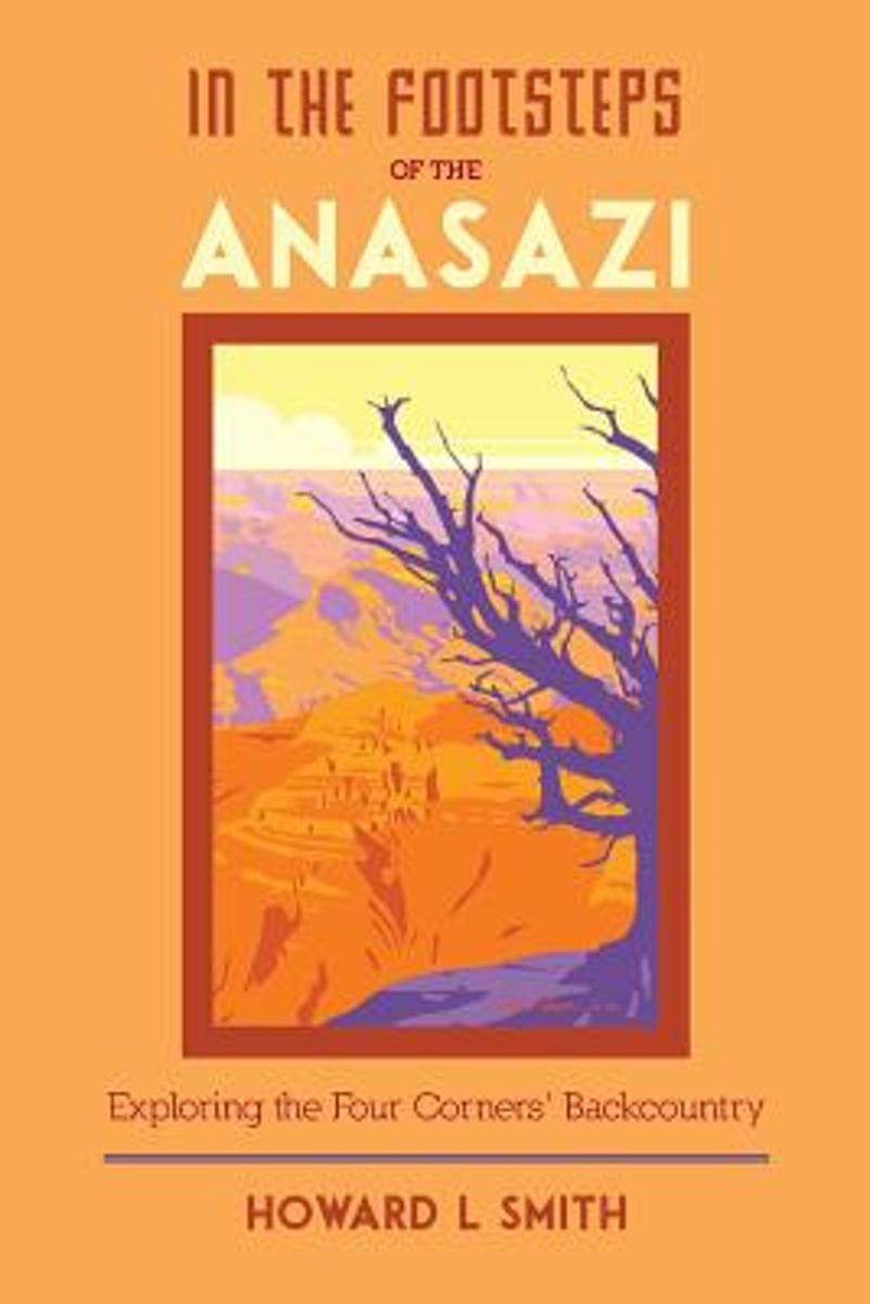
- In the Footsteps of the Anasazi
- The Southwest is a land with remarkable spirit as well as stunning natural features ranging from red sandstone mesas to soaring mountain peaks; from infinite plains to immense canyons. The Anasazi called this country home--southern Nevada, Utah, and Colorado as well as large portions of Arizona and New Mexico. IN THE FOOTSTEPS OF THE ANASAZI... Read more
- Also available from:
- Bol.com, Belgium
Belgium
- In the Footsteps of the Anasazi
- The Southwest is a land with remarkable spirit as well as stunning natural features ranging from red sandstone mesas to soaring mountain peaks; from infinite plains to immense canyons. The Anasazi called this country home--southern Nevada, Utah, and Colorado as well as large portions of Arizona and New Mexico. IN THE FOOTSTEPS OF THE ANASAZI... Read more

Netherlands
- A Hiking Guide To Cedar Mesa
- The Cedar Mesa country in southeast Utah is a land of convoluted cliffs with arches, natural bridges, hoodoos, spires, hat rocks, ledges, and alcoves. It is a land of flash floods and extreme temperatures that demands much from those who would explore it. It is also an unparalleled museum of geological features and ancestral Puebloan culture.... Read more
- Also available from:
- Bol.com, Belgium
Belgium
- A Hiking Guide To Cedar Mesa
- The Cedar Mesa country in southeast Utah is a land of convoluted cliffs with arches, natural bridges, hoodoos, spires, hat rocks, ledges, and alcoves. It is a land of flash floods and extreme temperatures that demands much from those who would explore it. It is also an unparalleled museum of geological features and ancestral Puebloan culture.... Read more
Netherlands
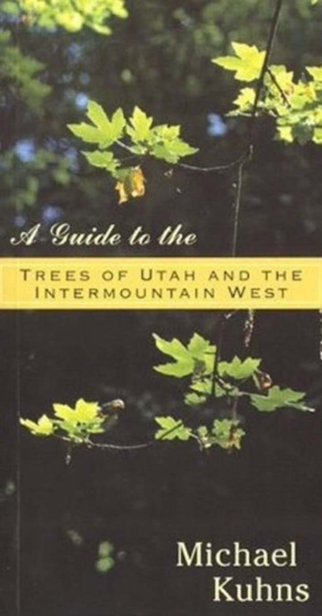
- Guide to the Trees of Utah & the Intermountain West
- Accessible and informative, this comprehensive guide to the all native and introduced trees of the Intermountain West is a welcome addition to the library of the homeowner, landscaper, recreationist, traveler, or student in this large and unique region of the American Rocky Mountain West. Includes identification keys and hundreds of... Read more
- Also available from:
- Bol.com, Belgium
Belgium
- Guide to the Trees of Utah & the Intermountain West
- Accessible and informative, this comprehensive guide to the all native and introduced trees of the Intermountain West is a welcome addition to the library of the homeowner, landscaper, recreationist, traveler, or student in this large and unique region of the American Rocky Mountain West. Includes identification keys and hundreds of... Read more
Kaarten

Netherlands
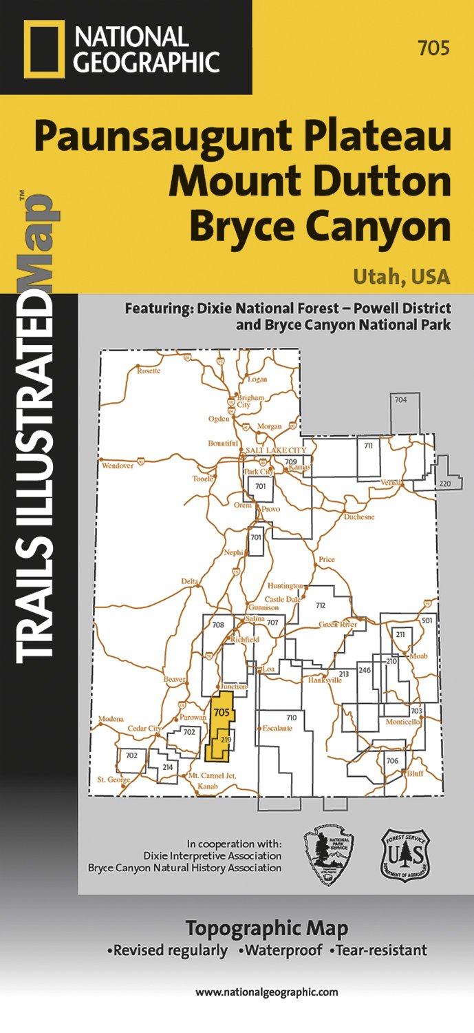
- Wandelkaart - Topografische kaart 705 Paunsaugunt Plateau - Mount Dutton - Bryce Canyon | National Geographic
- Prachtige geplastificeerde kaart van het bekende nationaal park. Met alle recreatieve voorzieningen als campsites, maar ook met topografische details en wandelroutes ed. Door uitgekiend kleurgebruik zeer prettig in gebruik. Scheur en watervast! Coverage includes Dixie National Forest. Bryce Canyon National Park; Paunsaugunt Plateau; Red Canyon,... Read more
- Also available from:
- Stanfords, United Kingdom

United Kingdom
- Paunsaugunt Plateau - Mount Dutton - Bryce Canyon UT NGS Trails Illustrated Map 705
- Map No. 705, Paunsaugunt Plateau - Mount Dutton - Bryce Canyon in Utah in an extensive series of GPS compatible, contoured hiking maps of USA’s national and state parks or forests and other popular recreational areas. Cartography based on the national topographic survey, with additional tourist information.The maps, with most titles now printed... Read more
Netherlands
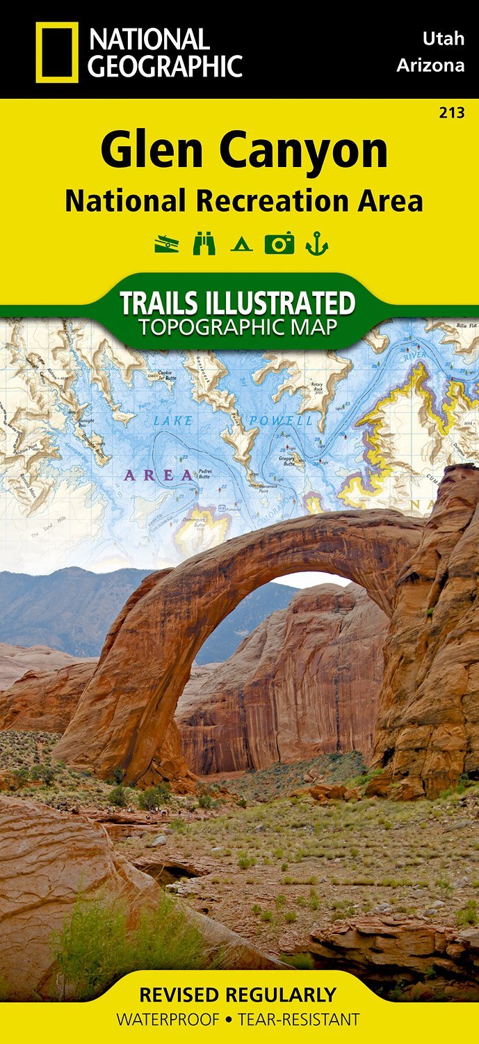
- Wandelkaart - Topografische kaart 213 Glen Canyon National Recreation Area | National Geographic
- Prachtige geplastificeerde kaart van het nationaal park. Met alle recreatieve voorzieningen als campsites, maar ook met topografische details en wandelroutes ed. Door uitgekiend kleurgebruik zeer prettig in gebruik. Scheur en watervast! Our Glen Canyon NRA and Rainbow Bridge NM Trails Illustrated map provides detailed topographic coverage,... Read more
- Also available from:
- Stanfords, United Kingdom

United Kingdom
- Glen Canyon NRA - Capitol Reef NP UT/AZ
- Map No. 213, Glen Canyon National Recreation Area/Capitol Reef National Park, UT/AZ, in an extensive series of GPS compatible, contoured hiking maps of USA’s national and state parks or forests and other popular recreational areas. Cartography based on the national topographic survey, with additional tourist information.The maps, with most... Read more
Netherlands
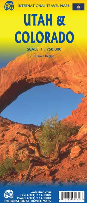
- Wegenkaart - landkaart Utah & Colorado | ITMB
- Colorado/Utah 1:750.000 ab 10.49 EURO International Travel Map ITM. 1st edition Read more
.jpg)
Netherlands
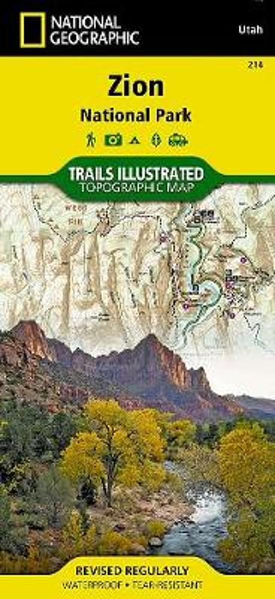
- Wandelkaart - Topografische kaart 214 Zion National Park | National Geographic
- Prachtige geplastificeerde kaart van het bekende nationaal park. Met alle recreatieve voorzieningen als campsites, maar ook met topografische details en wandelroutes ed. Door uitgekiend kleurgebruik zeer prettig in gebruik. Scheur en watervast! This National Geographic Trails Illustrated folded map offers comprehensive coverage of Zion National... Read more
- Also available from:
- Bol.com, Netherlands
- Bol.com, Belgium
- Stanfords, United Kingdom
- The Book Depository, United Kingdom
Netherlands
- Zion National Park
- Waterproof Tear-Resistant Topographic MapExplore the beauty and geological wonder of Utah's first national park with National Geographic's Trails Illustrated map of Zion National Park. Created in partnership with local land management agencies, this expertly researched map combines unmatched detail with useful information to help you get... Read more
Belgium
- Zion National Park
- Waterproof Tear-Resistant Topographic MapExplore the beauty and geological wonder of Utah's first national park with National Geographic's Trails Illustrated map of Zion National Park. Created in partnership with local land management agencies, this expertly researched map combines unmatched detail with useful information to help you get... Read more

United Kingdom
- Zion National Park UT NGS Trails Illustrated Map 214
- Map No. 214, Zion National Park, UT, in an extensive series of GPS compatible, contoured hiking maps of USA’s national and state parks or forests and other popular recreational areas. Cartography based on the national topographic survey, with additional tourist information.The maps, with most titles now printed on light, waterproof and... Read more


Netherlands
- Wandelkaart - Topografische kaart 219 Bryce Canyon National Park | National Geographic
- Prachtige geplastificeerde kaart van het bekende nationaal park. Met alle recreatieve voorzieningen als campsites, maar ook met topografische details en wandelroutes ed. Door uitgekiend kleurgebruik zeer prettig in gebruik. Scheur en watervast! This informative Trails Illustrated map will help you plan trips and explore the area in and around... Read more
- Also available from:
- Bol.com, Netherlands
- Bol.com, Belgium
- Stanfords, United Kingdom
- The Book Depository, United Kingdom

Netherlands
- Bryce Canyon National Park
- Waterproof Tear-Resistant Topographic MapNational Geographic's Trails Illustrated map of Bryce Canyon National Park is designed to meet the needs of outdoor enthusiasts by combining valuable information with unmatched detail of this unique landscape of hoodoos and forest. Created in partnership with local land management agencies, this... Read more
Belgium
- Bryce Canyon National Park
- Waterproof Tear-Resistant Topographic MapNational Geographic's Trails Illustrated map of Bryce Canyon National Park is designed to meet the needs of outdoor enthusiasts by combining valuable information with unmatched detail of this unique landscape of hoodoos and forest. Created in partnership with local land management agencies, this... Read more

United Kingdom
- Bryce Canyon National Park UT NGS Trails Illustrated Map 219
- Map No. 219, Bryce Canyon National Park, UT, in an extensive series of GPS compatible, contoured hiking maps of USA’s national and state parks or forests and other popular recreational areas. Cartography based on the national topographic survey, with additional tourist information.The maps, with most titles now printed on light, waterproof and... Read more

United Kingdom
- Bryce Canyon National Park
- Trails Illustrated National Parks Read more
Netherlands
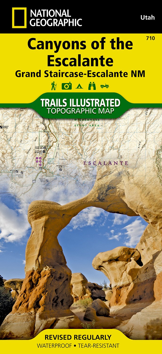
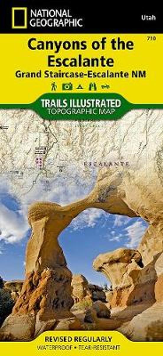
- Wandelkaart - Topografische kaart 710 Canyons of the Escalante - Grand Staircase-Escalante National Monument | National Geographic
- Prachtige geplastificeerde kaart van het bekende nationaal park. Met alle recreatieve voorzieningen als campsites, maar ook met topografische details en wandelroutes ed. Door uitgekiend kleurgebruik zeer prettig in gebruik. Scheur en watervast! Coverage includes BLM - Escalante Resource Area, Dixie National Forest, Glen Canyon National... Read more
- Also available from:
- Bol.com, Netherlands
- Bol.com, Belgium
- Stanfords, United Kingdom
Netherlands
- Canyons Of The Escalante
- Waterproof Tear-Resistant Topographic MapAt over 1.7 million acres, Grand Staircase-Escalante National Monument encompasses the largest land area of all national monuments in the United States. National Geographic's Trails Illustrated map of Canyons of the Escalante delivers unmatched detail and valuable information to assist you in your... Read more
Belgium
- Canyons Of The Escalante
- Waterproof Tear-Resistant Topographic MapAt over 1.7 million acres, Grand Staircase-Escalante National Monument encompasses the largest land area of all national monuments in the United States. National Geographic's Trails Illustrated map of Canyons of the Escalante delivers unmatched detail and valuable information to assist you in your... Read more

United Kingdom
- Canyons of the Escalante UT
- Map No. 710, Canyons of the Escalante, UT, in an extensive series of GPS compatible, contoured hiking maps of USA’s national and state parks or forests and other popular recreational areas. Cartography based on the national topographic survey, with additional tourist information.The maps, with most titles now printed on light, waterproof and... Read more

Netherlands
- Wandelkaart 262 Grand Canyon East - Oost | National Geographic
- Prachtige geplastificeerde kaart van het nationaal park. Met alle recreatieve voorzieningen als campsites, maar ook met topografische details en wandelroutes ed. Door uitgekiend kleurgebruik zeer prettig in gebruik. Scheur en watervast! Grand Canyon East (#262) and Grand Canyon West (#263) combine to cover the entire Grand Canyon National Park... Read more
- Also available from:
- Bol.com, Netherlands
- Bol.com, Belgium

Netherlands
- Grand Canyon East
- Waterproof Tear-Resistant Topographic MapGrand Canyon East (#262) and Grand Canyon West (#263) combine to cover the entire Grand Canyon National Park and its bordering public lands. Both maps contain detailed and easy-to-read trail and road networks, locations of facilities, points of interest, and highly accurate terrain with thousands... Read more
Belgium
- Grand Canyon East
- Waterproof Tear-Resistant Topographic MapGrand Canyon East (#262) and Grand Canyon West (#263) combine to cover the entire Grand Canyon National Park and its bordering public lands. Both maps contain detailed and easy-to-read trail and road networks, locations of facilities, points of interest, and highly accurate terrain with thousands... Read more
Netherlands
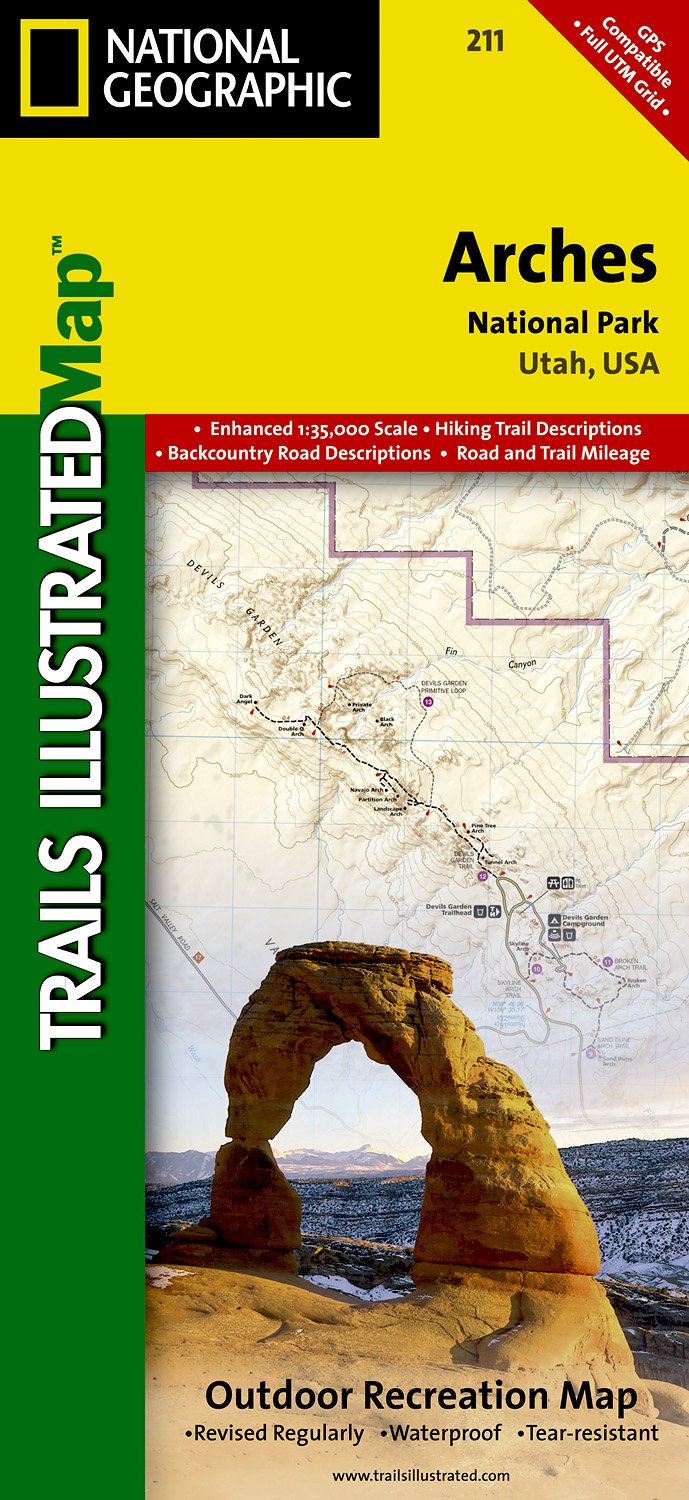
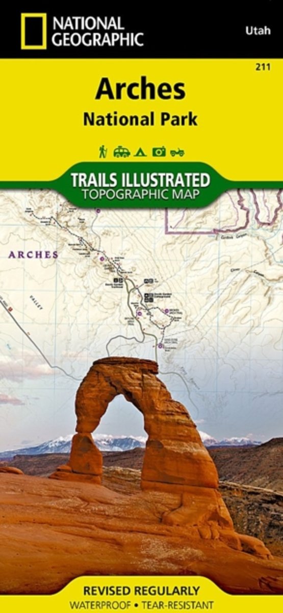
- Wandelkaart - Topografische kaart 211 Arches National Park | National Geographic
- Prachtige geplastificeerde kaart van het nationaal park. Met alle recreatieve voorzieningen als campsites, maar ook met topografische details en wandelroutes ed. Door uitgekiend kleurgebruik zeer prettig in gebruik. Scheur en watervast! Trails Illustrated maps are the most trusted and popular recreation maps available. Continually setting the... Read more
- Also available from:
- Bol.com, Netherlands
- Bol.com, Belgium
- Stanfords, United Kingdom
Netherlands
- Arches National Park
- Waterproof Tear-Resistant Topographic MapThis map is updated to reflect road closings, new trails, and campground relocation, and includes detailed trail information, points of interest, trailheads, picnic areas, facilities, and more. Included on the map are Arches National Park, The Highlands, Little Valley, Devils Garden, Lost Spring... Read more
Belgium
- Arches National Park
- Waterproof Tear-Resistant Topographic MapThis map is updated to reflect road closings, new trails, and campground relocation, and includes detailed trail information, points of interest, trailheads, picnic areas, facilities, and more. Included on the map are Arches National Park, The Highlands, Little Valley, Devils Garden, Lost Spring... Read more

United Kingdom
- Arches National Park UT NGS Trails Illustrated Map 211
- Map No. 211, Arches National Park, UT, in an extensive series of GPS compatible, contoured hiking maps of USA’s national and state parks or forests and other popular recreational areas. Cartography based on the national topographic survey, with additional tourist information.The maps, with most titles now printed on light, waterproof and... Read more
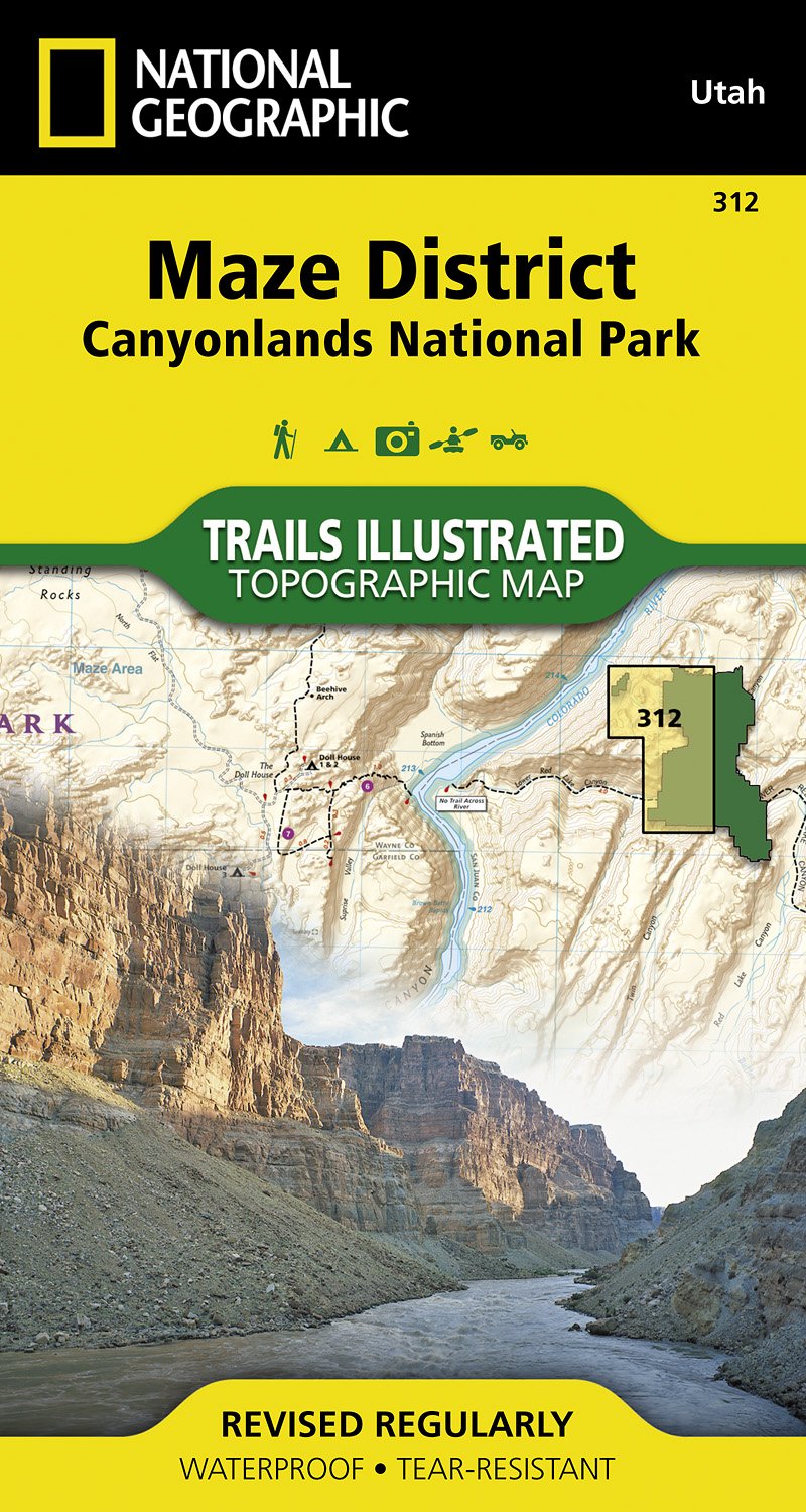
Netherlands
- Wandelkaart - Topografische kaart 312 Maze District - Canyonlands National Park | National Geographic
- Prachtige geplastificeerde kaart van het bekende nationaal park. Met alle recreatieve voorzieningen als campsites, maar ook met topografische details en wandelroutes ed. Door uitgekiend kleurgebruik zeer prettig in gebruik. Scheur en watervast! This sectional map of Canyonlands National Park zooms in on the Maze District in the western area of... Read more
- Also available from:
- Bol.com, Netherlands
- Bol.com, Belgium
- Stanfords, United Kingdom
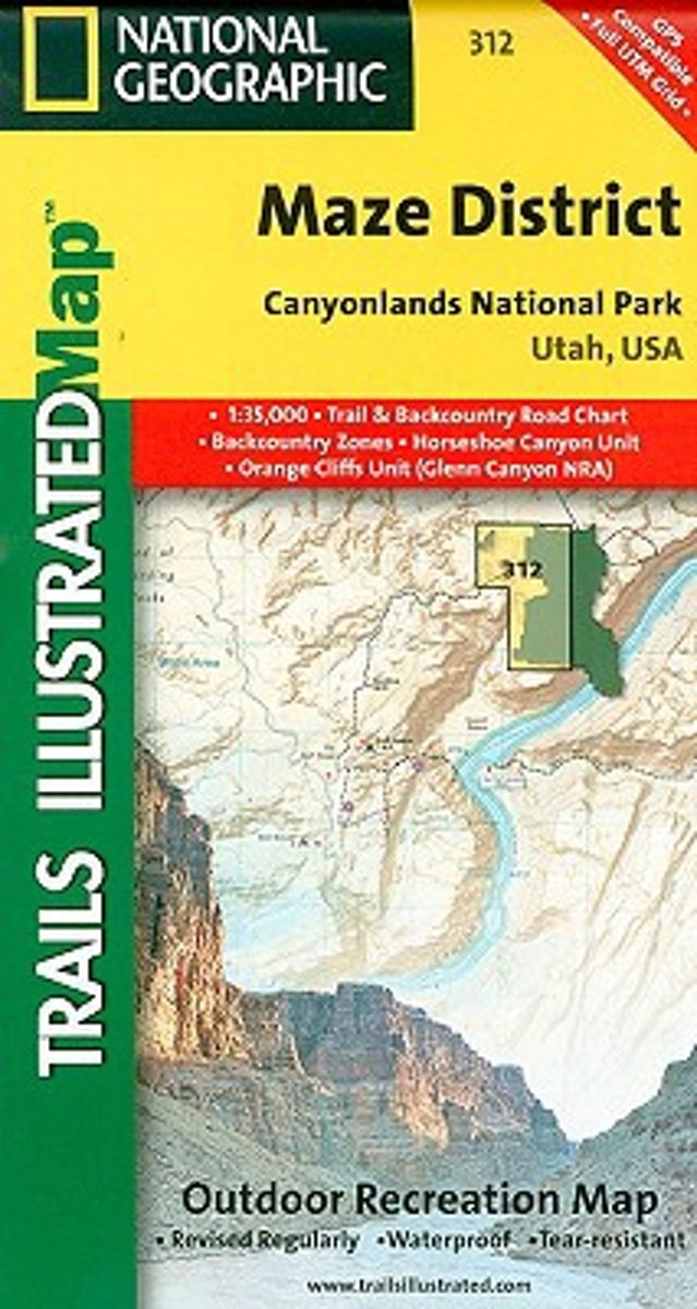
Netherlands
- Maze District Canyonlands National Park
- Waterproof Tear-Resistant Topographic MapThis sectional map of Canyonlands National Park zooms in on the Maze District in the western area of the park. This map provides more detail of this area than the full Canyonlands National Park map with an enhanced scale. The map includes trail and backcountry road charts, backcountry zones and... Read more
Belgium
- Maze District Canyonlands National Park
- Waterproof Tear-Resistant Topographic MapThis sectional map of Canyonlands National Park zooms in on the Maze District in the western area of the park. This map provides more detail of this area than the full Canyonlands National Park map with an enhanced scale. The map includes trail and backcountry road charts, backcountry zones and... Read more

United Kingdom
- Maze District - Canyonlands UT
- Map No. 312, Canyonlands: Maze District, UT, in an extensive series of GPS compatible, contoured hiking maps of USA’s national and state parks or forests and other popular recreational areas. Cartography based on the national topographic survey, with additional tourist information.The maps, with most titles now printed on light, waterproof and... Read more
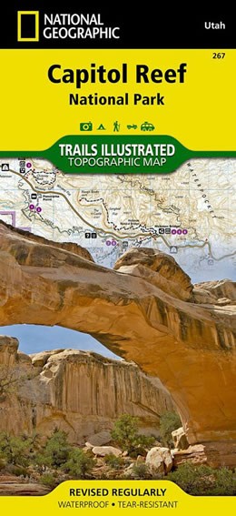
Netherlands
- Wandelkaart 267 Capitol Reef National Park | National Geographic
- Map No. 267, Capitol Reef National Park in Utah at 1:75,000 in an extensive series of GPS compatible, contoured hiking maps of USA Read more
- Also available from:
- Bol.com, Netherlands
- Bol.com, Belgium
- Stanfords, United Kingdom
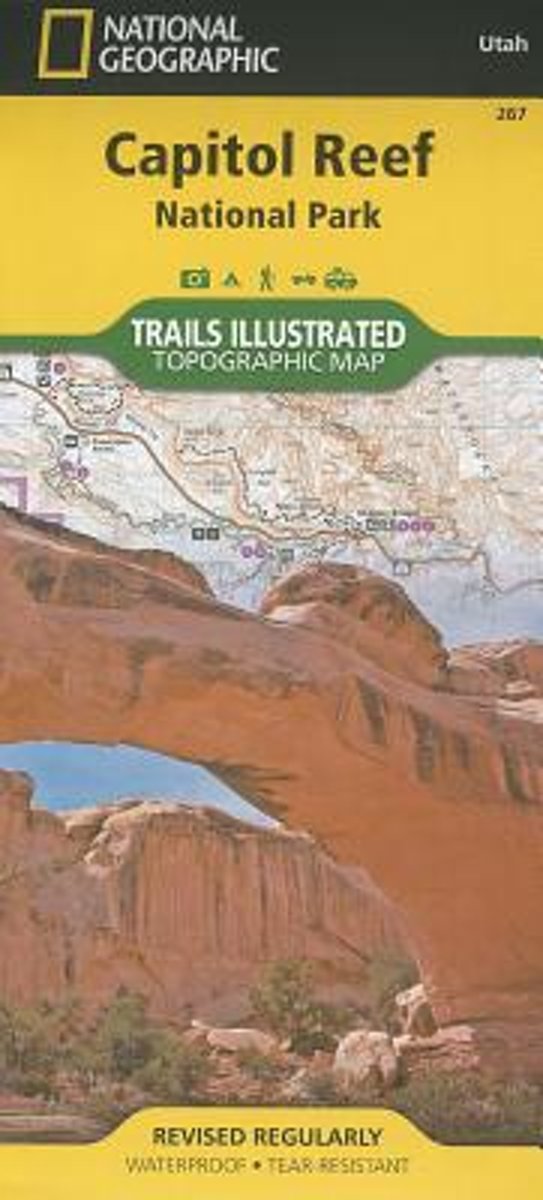
Netherlands
- Capitol Reef National Park
- Waterproof Tear-Resistant Topographic MapNational Geographic's Trails Illustrated map of Capitol Reef National Park is a two-sided, waterproof map designed to meet the needs of outdoor enthusiasts with unmatched durability, detail, and up-to-date recreation information.The front side of the map details the topography, four wheel drive... Read more
Belgium
- Capitol Reef National Park
- Waterproof Tear-Resistant Topographic MapNational Geographic's Trails Illustrated map of Capitol Reef National Park is a two-sided, waterproof map designed to meet the needs of outdoor enthusiasts with unmatched durability, detail, and up-to-date recreation information.The front side of the map details the topography, four wheel drive... Read more

United Kingdom
- Capitol Reef National Park UT NGS Trails Illustrated Map 267
- Map No. 267, Capitol Reef National Park in Utah at 1:75,000 in an extensive series of GPS compatible, contoured hiking maps of USA’s national and state parks or forests and other popular recreational areas. Cartography based on the national topographic survey, with additional tourist information.The maps, with most titles now printed on light,... Read more

United Kingdom
2014
- Normandy D-Day - 6 June 1944 IGN Map
- Commemorative map from the IGN for the 70th anniversary of the D-Day landings in Normandy on 6th June 1944, presenting in three large panels various grouping of the Allied Armies and the defending German forces, the changes in the front lines between 6th June and 18th August, and present day commemorative sites and monuments, plus additional... Read more

United Kingdom
- Fish Lake - Manti UT
- Map No. 707, Fish Lake - Capitol Reef are un Utah at 1:90,000 in an extensive series of GPS compatible, contoured hiking maps of USA’s national and state parks or forests and other popular recreational areas. Cartography based on the national topographic survey, with additional tourist information.The maps, with most titles now printed on... Read more

United Kingdom
- Las Vegas Borch
- Very clear, indexed tourist street plan of the city on durable, laminated paper, with additional maps of the surrounding area and the Grand Canyon. The main map includes the Strip, Interstate 15 to the west, Downtown, the international airport, and much of the Winchester district east of the Strip. Detail includes one-way streets, casinos,... Read more