India
Beschrijving
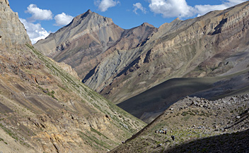
Immense India, a colorful jigsaw of peoples, cultures, landscapes and climates, is a continent in its own right. The high snow-capped peaks of the Himalayas rise up across the north of the country, to form a natural border with China (Tibet). Also to the north are India's Himalayan neighbour states Nepal and Bhutan. The famous Ganges river and several of its tributaries flow from the Himalayan ranges and then turn east to form the scorchingly hot expanse of the Indo Gangetic Plain. Further south hills rise up again, such as the Aravalli range across arid Rajasthan, and the low Vindhya and Satpura ranges of Central India. Towards the southwest, parallel to the coast, several ranges collectively called the Western Ghats run all the way to India's southern tip. Their humid ridges, covered in sandal wood trees and coffee plantations, rise up well over 1000 m, and occasionally over 2000 m. In the east of India are several lower ranges of mountains and hills, known as the Eastern Ghats.
So what about hiking in India? Is it a popular local pastime? True, many Indians like to escape from the summer heat of the low plains to catch up on some fresh air in one of many hill stations, vestiges of the British colonial era. Yet, to actually set out on a multi-day hike for pleasure appears to be a primarily foreign visitors affair. Exceptions to this rule are the pilgrimages in different parts of India, most notably those in the foothills of the Himalayas, which draw whole families, the old and young alike from all walks of life. Strikingly lively and colorful events, little known by foreigners, and more of a bustling social occasion than a true hike. But then, India is changing too, and hiking is becoming increasingly popular with students and other young people.
For long distance hiking and trekking into the quietude of nature, some parts of India clearly stand out in popularity. First and foremost in the north, there are the relatively accessible western Himalayan ranges of Himachal Pradesh, with valleys such as Kangra, Kullu, Sangla and the more remote and arid Spiti and Lahaul. Altitudes in Himachal Pradesh vary widely, from the 600 m high Shivalik hills to peaks rising up well over 6000 m!
To the southeast of Himachal Pradesh is another attractive hiking and trekking region: Uttarakhand (formerly Uttaranchal), bordering on both Tibet and Nepal. The famous Hindu pilgrimage centers of Haridwar and Rishikesh are main gateway to the Uttarakhand Garhwal Himalaya's. Some lovely and not too difficult high altitude hiking and trekking options here.
Rather less easily accessible are the high altitude valleys of Zanskar and Ladakh, in India's far north. Like neighbouring Spiti and Lahaul (both part of Himachal Pradesh), these are located on the northern flanks of the Great Himalayan range. Sheltered from the monsoon rains, climate here is much more arid. Summers are pleasant and dry, but winters long and harsh.
Towards the southwest of Zanskar and Ladakh, back on the south side of the Greater Himalayan range, are the more populated valleys of Kashmir. A lovely area for hiking, but alas, bordering on Pakistan and currently not safe for foreigners.
Let's travel east now. The Himalayan range continues, and is covered by Nepal and Bhutan. However, squeezed in between these two is the former kingdom of Sikkim, now part of India. A popular area for multi-day treks at medium and high altitudes, and rightly so. For less demanding treks with great views of high peaks like Kanchenjunga (8586 m), set out from Darjeeling, a nearby old hill station surrounded by tea plantations just to the soutwest of Sikkim. Both Sikkim and Darjeeling have a monsoon season, so avoid this and go hiking from late March to May or from late September to early December.
Continue east past Bhutan, and tucked away in the far northeastern corner of India are the Himalayan ranges of Arunachal Pradesh. Although little known or explored as yet, there are some high altitude trekking possibilities here, as well as medium altitude treks through forested valleys and with great views of the snow-capped western Himalayas.
And there are so many places other than the Himalayas to go hiking and trekking in India. Most of India's countless National Parks and Nature Reserves offer guided walking safari's, day-hikes mostly. To name a few other options: Nagaland, Meghalaya, Western Ghats, Nilgiri Hills, Eastern Ghats, Orissa, Munnar Hills, Karnataka, Periyar, and so on.
Paden
Regios
Bergen
Links
Feiten
Verslagen
Gidsen en kaarten
Overnachting
Organisaties
Reisorganisaties
GPS
Anders
Boeken
Netherlands
2012
- Reisgids Kunstreiseführer Rajasthan und Gujarat | Dumont
- Wenn es ein Paradies auf Erden gibt, dann ist es hier, dann ist es hier, dann ist es hier. So steht es geschrieben über den Bögen der privaten Audienzhalle des Roten Forts in Delhi. Dabei zählen die beiden nordwestindischen Bundesstaaten Rajasthan und Gujarat zu den klimatisch unwirtlichsten Gegenden des Landes. Dennoch blicken sie auf eine... Read more
Netherlands
2010
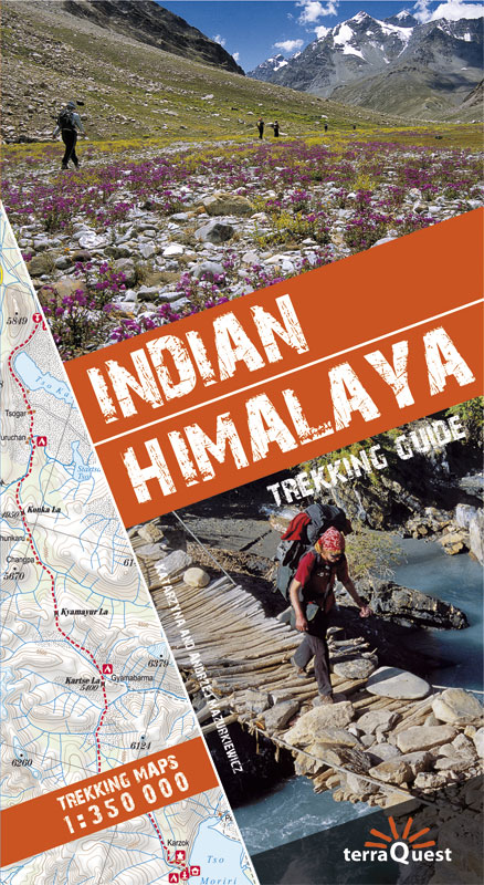
- Wandelgids Trekking Guide Indian Himalaya | TerraQuest
- Ce guide unique des montagnes de l''Himalaya indien, avec description et carte détaillée de 22 circuits de trekking, contient les informations nécessaires pour chaque niveau, du débutant au professionnel chevronné.La découverte de 10 régions (avec carte à l'échelle de 1/350... Read more
Kaarten
Netherlands
- Wegenkaart - landkaart India North & West | ITMB
- India North and West Map 1 : 1 900 000 ab 10.5 EURO Read more
Netherlands
- Wegenkaart - landkaart 4 India South - Zuid | Nelles Verlag
- Une carte recto-verso et indéchirable au 1/1.500.000ème (1cm = 15km) peu encombrante, une fois dépliée. Elle remonte jusqu'à Bombay au nord et propose quelques plans de villes. Read more
Netherlands
- Wegenkaart - landkaart 3 India - Oost | Nelles Verlag
- Nelles Map India: East 1:1 500 000 ab 9.9 EURO strapazierfähig, wasser- und reißfest Nelles Map. veränderte Neuauflage Read more
Netherlands
- Wegenkaart - landkaart India South | ITMB
- India South ab 10.49 EURO Mumbai International Travel Map ITM. 1. Auflage Read more
Netherlands
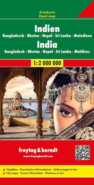
- Wegenkaart - landkaart India - Nepal - Bangladesh - Bhutan - Sri Lanka | Freytag & Berndt
- Indien - Bangladesch . Bhutan . Nepal Sri Lanka . Malediven, Autokarte 1:2.000.000 ab 10.9 EURO Freytag & Berndt Autokarte. Neuauflage Read more
Netherlands
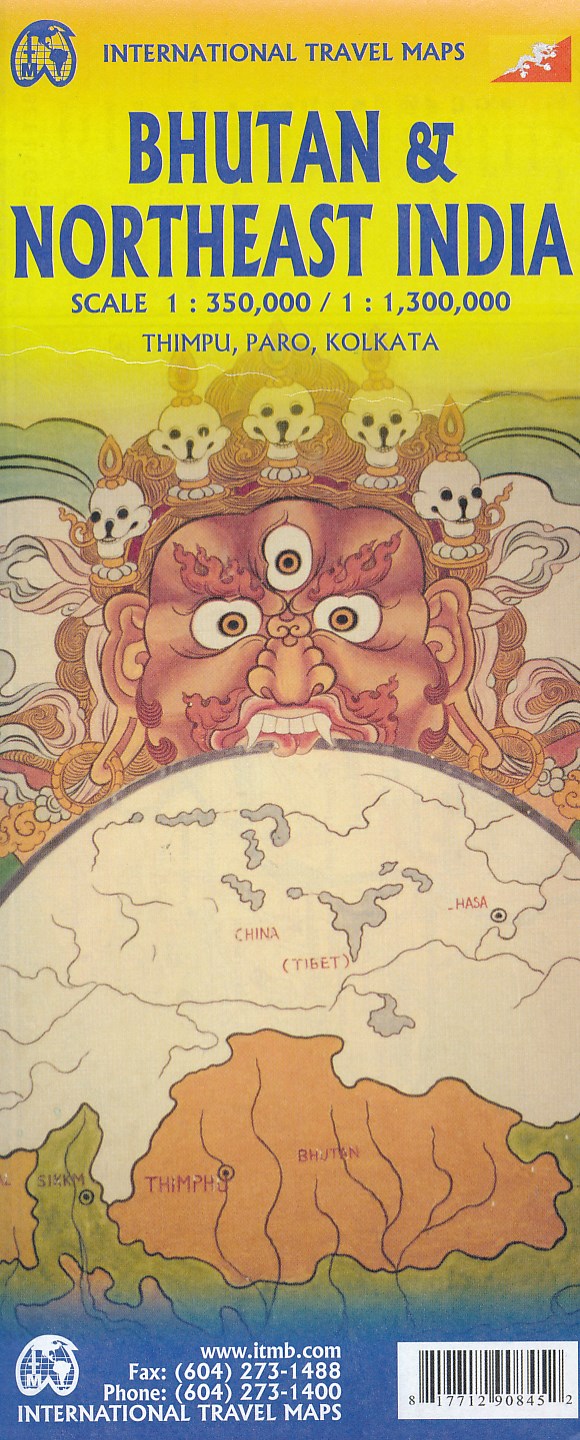
- Wegenkaart - landkaart Bhutan & Northeast India | ITMB
- Bhutan & Northeast India Travel Reference Map 1 : 350 000 / 1 : 1 300 000 ab 10.49 EURO Paro, Thimphu, Kolkata International Travel Map ITM. 5th edition Read more

Netherlands
- Wegenkaart - landkaart India | Gizi Map
- India Geographical Map 1 : 3 000 000 ab 11.95 EURO Bhutan, Bangladesh, Nepal, Maledives, Sri Lanka. Map for Businessmen & Tourists. With index. Relief Gizi Map. Neuauflage Read more
Netherlands
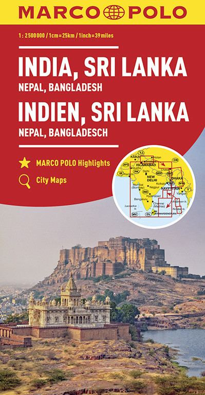
- Wegenkaart - landkaart India | Marco Polo
- MARCO POLO Kontinentalkarte Indien, Sri Lanka 1:2 500 000 ab 11.99 EURO Nepal, Bangladesch Marco Polo Karte. 6. Auflage Read more
Netherlands
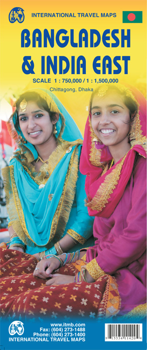
- Wegenkaart - landkaart Bangladesh & India oost | ITMB
- Bangladesh 1 : 750 000 / India East 1 : 1 500 000 ab 10.49 EURO 2nd edition Read more
Netherlands
2008
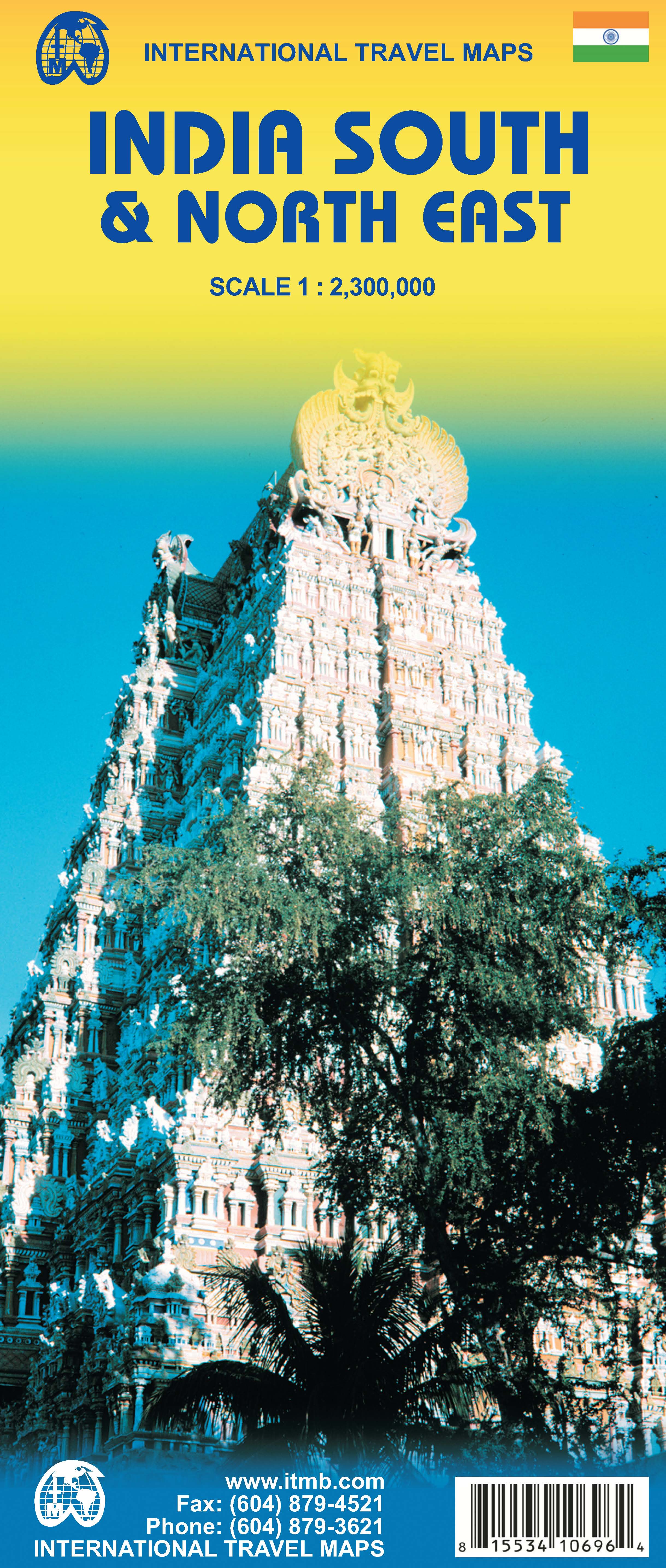
- Wegenkaart - landkaart India South & North East - India Zuid & Noord Oost | ITMB
- Carte routière en couleur utile pour les voyageurs. Textes en anglais uniquement. Read more


