Kirgizië
Beschrijving
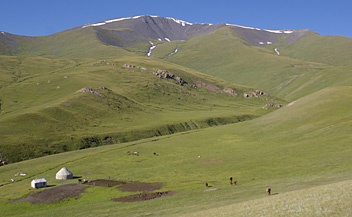
Kyrgyzstan is a small Central Asian country bordering on China in the east and southeast, Kazakhstan in the north, Uzbekistan in the west and Tajikistan in the south. Kyrgyzstan is a mountainous country, defined by two major ranges: Tian Shan and Pamir. Both ranges offer excellent trekking opportunities through stunningly beautiful alpine landscapes, across high passes and pastures dotted with yurts of the Kyrgyz nomads.
The mighty 2800 km long Tian Shan range runs in a roughly east-west direction, starting in the Chinese provice of Xinjiang, right across Kyrgyzstan, and ending in Uzbekistan. The central and highest part of Tian Shan is in the eastern tip of Kyrgyzstan. Peaks here rise up over 7000 m. Kyrgyzstan's highest is Jengish Chokosu (7439 m), also known as Peak Pobeda, right on the China-Kyrgyzstan border. Second highest is nearby Khan Tengri (7010 m), on the border between Kyrgyzstan and Kazakhstan. In between them is the Inylchek Glacier. A great area for adventurous (and strenuous) high altitude treks.
As you turn west, the Tian Shan divides into northern ranges along the border with Kazakhstan, and the main southern Tian Shan ranges along the border with China. Roughly in between are the large Issyk-Kul lake, and the Naryn River which flows west into the Fergana Valley. The northern ranges include Kyrgyz Ala Too, Kungey Ala Too, Talas Ala Too and Chatkal, and continue into Uzbekistan. These ranges are generally easily accessible and you can do multi-day hikes through beautiful scenery, past hot springs, forests and snow capped peaks.
The central and southern Tian Shan ranges include Terskey Ala Too, Kok Shaal Too, Atbashi, Fergana, Kainy Too, Mai Bash and many more extremely remote mountains and valleys. Reaching them can be a true challenge, and it is not uncommon to go by helicopter.
Eventually the Tian Shan meet the Pamir mountain system and Turkestan range, which also continues west into Uzbekistan. The Turkestan range is another great destination for trekking and climbing, with spectacular granite rock faces and stunning alpine summer pastures where Kyrgyz nomads herd their flocks.
Hiking season in Kyrgyzstan is summertime, from June or July till September or October, depending on where (how high) you go. Landscapes are vast and empty, trails are unmarked or absent altogether. Good maps are hard to come by, often sketchy or not very detailed (1:200.000), and to ask any nomads which way to go you will need at least some basic knowledge of the Kyrgyz language. Camping is common, and you have to bring along all you need. But then, there is a wide choice of Kyrgyz trekking companies in the capital Bishkek offering their services, transportation, guides, permits (particularly for border areas!), porters, camping gear etc.
Paden
Regios
Bergen
Links
Feiten
Verslagen
Gidsen en kaarten
Overnachting
Organisaties
Reisorganisaties
GPS
Anders
Boeken
Netherlands
2008
- Reisgids Kyrgyz Republic - Kyrgizië | Odyssey
- Kyrgyz Republic Kyrgyzstan: Heart of Central Asia - Odyssey Publications (Kirgizië/Kirgizstan) De Odyssey reisgids is een degelijke Engelstalige gids met achtergrondinformatie over cultuur en populatie, praktische informatie, hints voor de bezoeker, openbaar vervoer, accommodaties, foto’s en kaarten. This unique and stunningly illustrated book,... Read more
- Also available from:
- Bol.com, Netherlands
- Bol.com, Belgium
Netherlands
2008
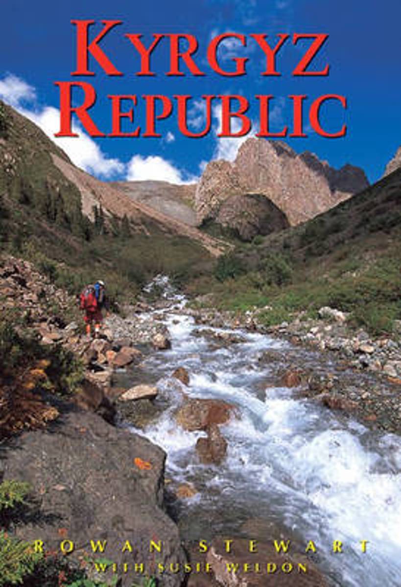
- Kyrgyz Republic
- Stunningly illustrated with a clear overview of historical, cultural and social aspects, this third edition of Odyssey's popular guide to Kyrgyzstan provides fresh information on both southwestern Issyk Kul and northeast Naryn provinces as well as expanded Jalalabad province, Osh and Talas sections (including trekking by foot or horseback in... Read more

Belgium
2008
- Kyrgyz Republic
- Stunningly illustrated with a clear overview of historical, cultural and social aspects, this third edition of Odyssey's popular guide to Kyrgyzstan provides fresh information on both southwestern Issyk Kul and northeast Naryn provinces as well as expanded Jalalabad province, Osh and Talas sections (including trekking by foot or horseback in... Read more
Netherlands
2014
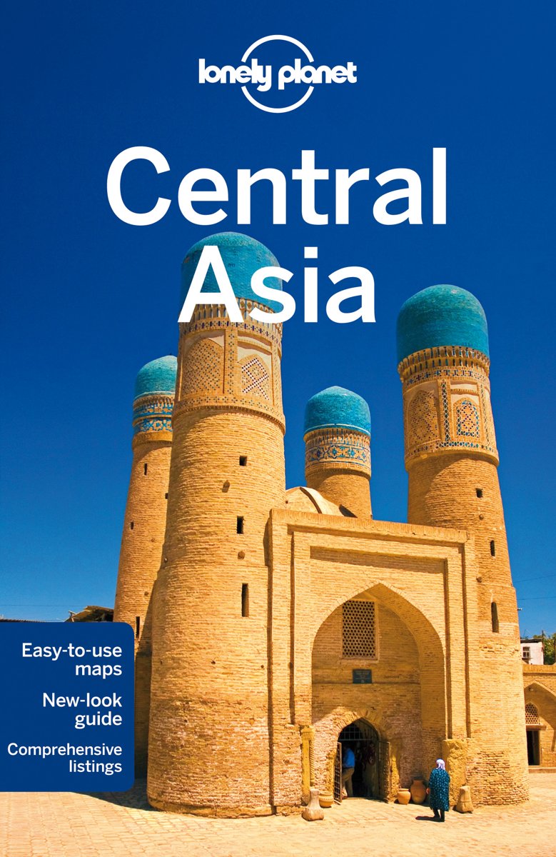
- Lonely Planet Central Asia
- Central Asia is Lonely Planet's heartland. Exploring Uzbekistan's blue-domed medressas, sleeping in felt yurts among Kyrgyzstan's mountains or selecting fruit in Kazakhstan's markets: we do it all with passion and expertise. Live your own Silk Road dream with this 5th edition as your guide.Lonely Planet guides are written by experts who get to... Read more
- Also available from:
- Bol.com, Belgium

Belgium
2014
- Lonely Planet Central Asia
- Central Asia is Lonely Planet's heartland. Exploring Uzbekistan's blue-domed medressas, sleeping in felt yurts among Kyrgyzstan's mountains or selecting fruit in Kazakhstan's markets: we do it all with passion and expertise. Live your own Silk Road dream with this 5th edition as your guide.Lonely Planet guides are written by experts who get to... Read more
Netherlands
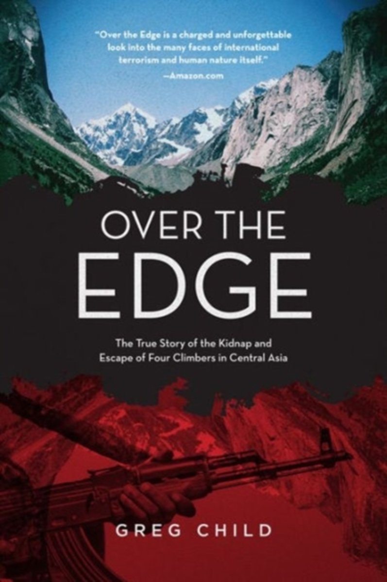
- Over the Edge
- *CLICK HERE to download sample chapters from Over the Edge * * A different sort of true climbing adventure this one with terrorists, kidnappings, and AK47s * New afterword by the author * First time in paperback Before dawn on August 12, 2000, four of America's best young rock climbers Tommy Caldwell, Beth Rodden, Jason "Singer" Smith, and John... Read more
- Also available from:
- Bol.com, Belgium

Belgium
- Over the Edge
- *CLICK HERE to download sample chapters from Over the Edge * * A different sort of true climbing adventure this one with terrorists, kidnappings, and AK47s * New afterword by the author * First time in paperback Before dawn on August 12, 2000, four of America's best young rock climbers Tommy Caldwell, Beth Rodden, Jason "Singer" Smith, and John... Read more
Netherlands
- Kyrgyzstan
- I went to Kyrgyzstan to run a scenario planning game in Bishkek with Emergency personnel from Kyrgyzstan and Tajikistan use remote sensing to map hazards and monitor disaster recovery. Our host takes us to a night club. It's in a vast concert bunker. We toast each other unmercifully with vodka shots until encouraged onto the dance floor where... Read more
- Also available from:
- Bol.com, Belgium
Belgium
- Kyrgyzstan
- I went to Kyrgyzstan to run a scenario planning game in Bishkek with Emergency personnel from Kyrgyzstan and Tajikistan use remote sensing to map hazards and monitor disaster recovery. Our host takes us to a night club. It's in a vast concert bunker. We toast each other unmercifully with vodka shots until encouraged onto the dance floor where... Read more

Netherlands
- Out Of Steppe
- Central Asia is the general name for the landmass between Iran, China, Siberia and Afghanistan. An area of enormous diversity both geographically and ethnically, it has been shaped by trade and commerce (the Silk Road) and by many invaders, including Alexander the Great, Genghis Khan and Stalin. Today the area is divided into five 'stans:... Read more
- Also available from:
- Bol.com, Belgium

Belgium
- Out Of Steppe
- Central Asia is the general name for the landmass between Iran, China, Siberia and Afghanistan. An area of enormous diversity both geographically and ethnically, it has been shaped by trade and commerce (the Silk Road) and by many invaders, including Alexander the Great, Genghis Khan and Stalin. Today the area is divided into five 'stans:... Read more
Kaarten
Netherlands
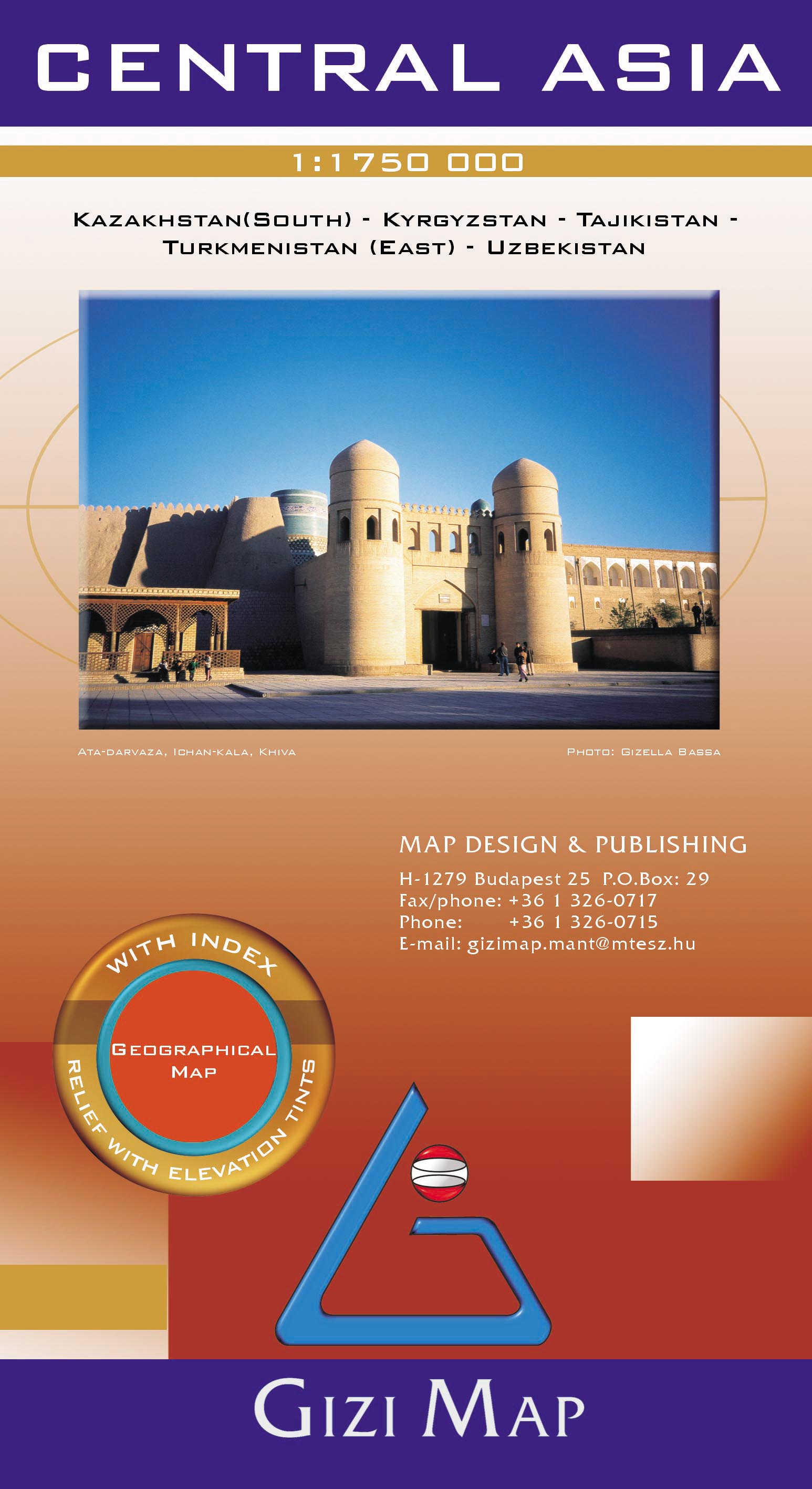
- Wegenkaart - landkaart Central Asia - Kazachstan, Uzbekistan, Kirgizië en Tajikistan | Gizi Map
- Central Asia Geographical 1 : 1 750 000 ab 11.95 EURO Kazakhstan (South), Kyrgyzstan, Tajikistan, Turkmenistan (East), Uzbekistan. With index. Relief with Gizi Map. new edition Read more
Netherlands
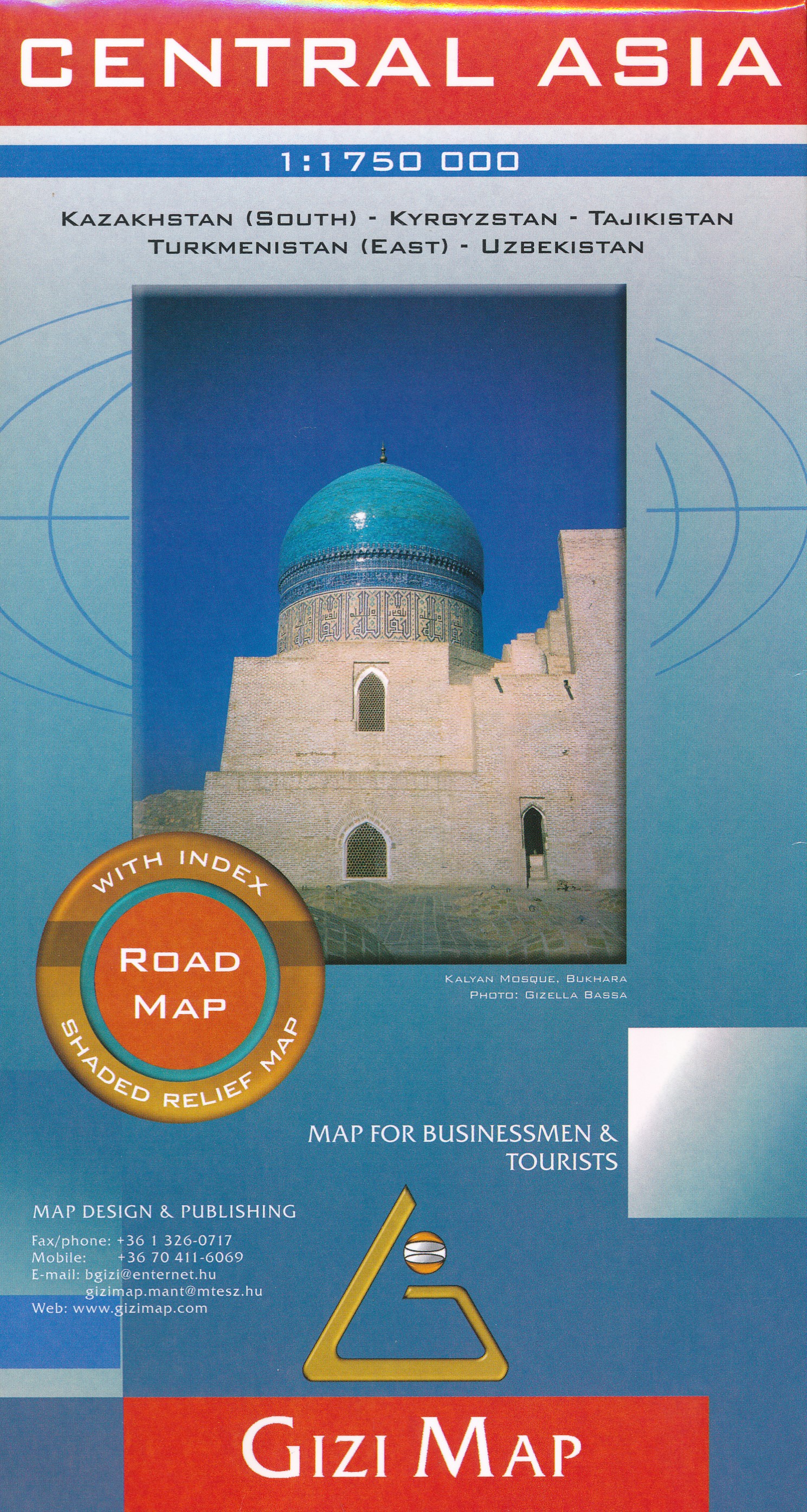
- Wegenkaart - landkaart Central Asia - Centraal Azië | Gizi Map
- Central Asia Road Map 1 : 1 750 000 ab 11.95 EURO Map for Businessmen & Tourists. Kazakhstan (South), Kyrgyzstan, Tajikistan, Turkmenistan (East), Uzb Gizi Map. Neuauflage Read more
Netherlands
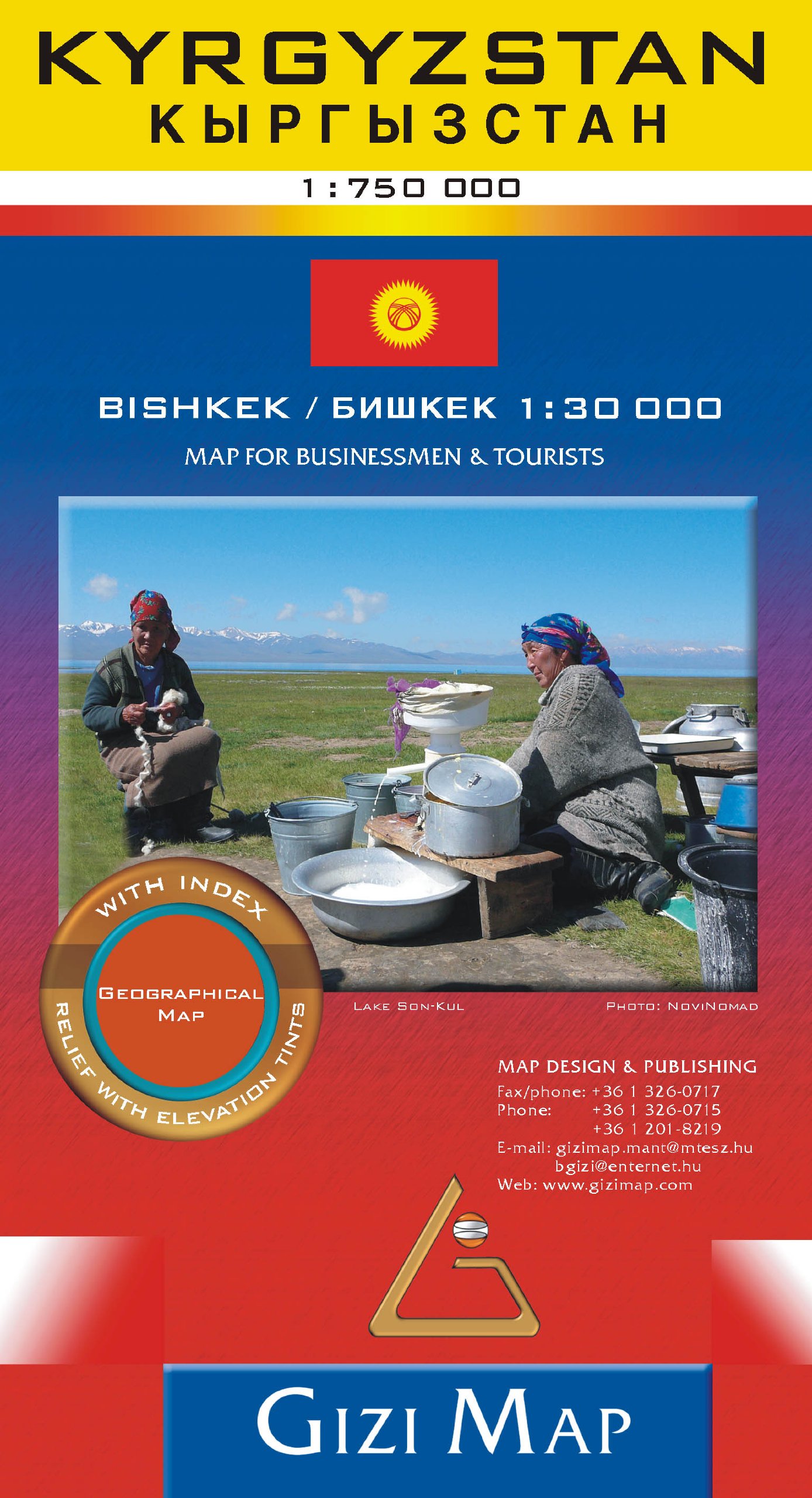
- Wegenkaart - landkaart Kyrgyzstan - Kirgizië | Gizi Map
- Kyrgyzstan Geographical Map 1 : 750 000 ab 10.99 EURO new edition Read more
Netherlands
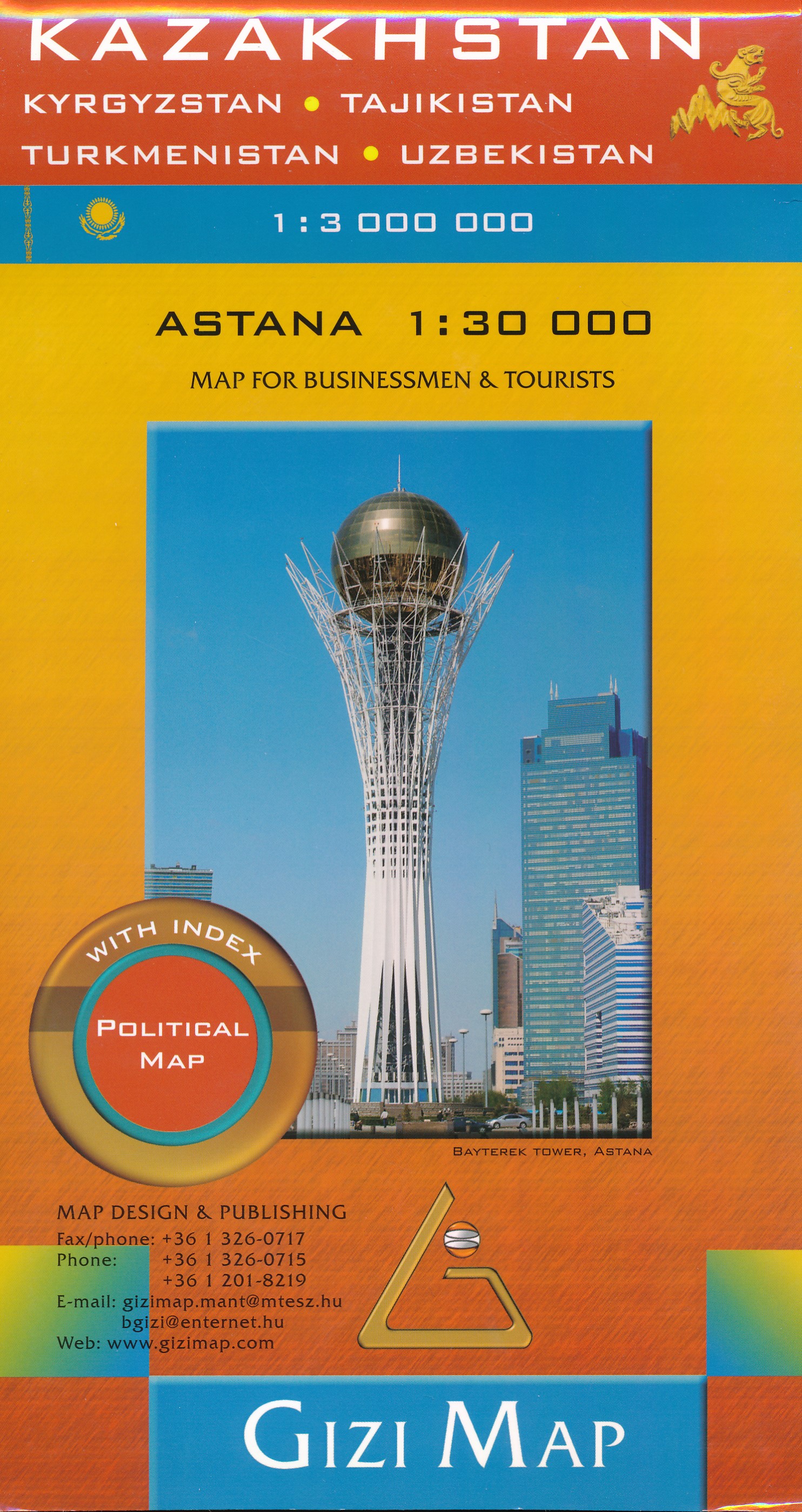
- Wegenkaart - landkaart Kazakhstan - Kazachstan | Gizi Map
- Kazakhstan Political Map 1 : 3 000 000 ab 11.95 EURO Kyrgyzstan, Tajikistan, Turkmenistan, Uzbekistan. Map for Businessmen & Tourists. With index Gizi Map. new edition Read more
United Kingdom
- Tien Shan: Lake Issyk-Kul North Trekking Map
- The area between Lake Issyk-Kul and the Kazakhstan border on a contoured and GPS compatible, double-sided topographic map at 1:100,000 from Goskartografiya in Bishkek, with all place names in the Cyrillic alphabet and an English map legend. Coverage extends eastwards from Orlovka, just west of the E125 road linking the lake with Tokmok, to... Read more

United Kingdom
- Inylchek - Tien Shan Alpenverein 0/14
- Exceptionally detailed and informative topographic map at 1:100,000 of the Inylchek area in the Tien Shan Mountains in Kyrgyzstan, prepared by the German Alpine Club using data from the Kyrgyz national survey organization plus satellite imagery. Topography is shown by contours at 50m intervals with relief shading, plus numerous spot heights and... Read more

United Kingdom
- Tien Shan: Lake Issyk-Kul North 100K Goskartografiya Trekking Map
- The area between Lake Issyk-Kul and the Kazakhstan border on a contoured and GPS compatible, double-sided topographic map at 1:100,000 from Goskartografiya in Bishkek, with all place names in the Cyrillic alphabet and an English map legend. Coverage extends eastwards from Orlovka, just west of the E125 road linking the lake with Tokmok, to... Read more

United Kingdom
- Tien Shan: Bishkek & Kyrgyz Range - Küngöy Ala-Too Range 100K Gostartografiya Trekking Map
- Two separate areas of the Tien Shan Mountains in Kyrgyzstan on a contoured and GPS compatible, double-sided topographic map at 1:100,000 from Goskartografiya in Bishkek, with place names in the Cyrillic alphabet and an English map legend. On one side is the Kyrgyz Range, with coverage extending from Bishkek southwards to its high summits... Read more


