
Liège
Beschrijving
Province in Eastern Belgium.
Kaart

Paden in deze landsdeel
- E2GPX
- GR14 - Sentier de l'ArdenneGPX
- GR15 - AE - Ardennes-EifelGPX
- GR16 - Sentier de la SemoisGPX
- GR412 - Sentier des TerrilsGPX
- GR5GPX
- GR56 - Hautes Fagnes - EifelGPX
- GR563 - Tour du Pays de HerveGPX
- GR564 - Kempen - CondrozGPX
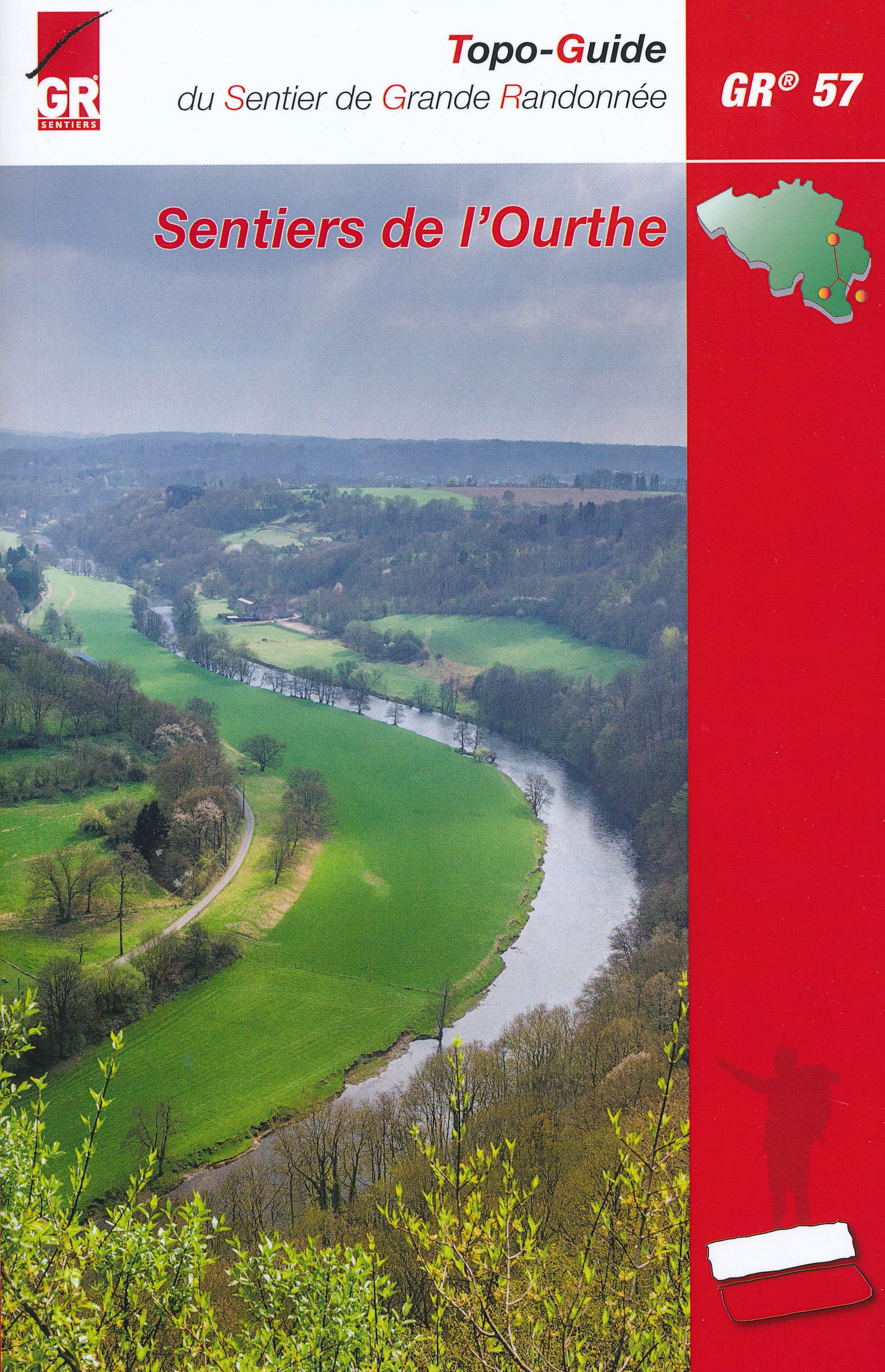
- GR57 - Vallée de l'OurtheGPX
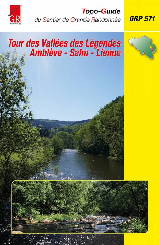
- GR571 - Vallées des LégendesGPX
- GR573 - Hautes FagnesGPX
- GR576 - Tour du Condroz LiégeoisGPX
- GR577 - Tour de la FamenneGPX
- GR579 - Brussels - LiègeGPX
- Tour de la Vesdre
- Transardense Route
- Via Gallia BelgicaGPX
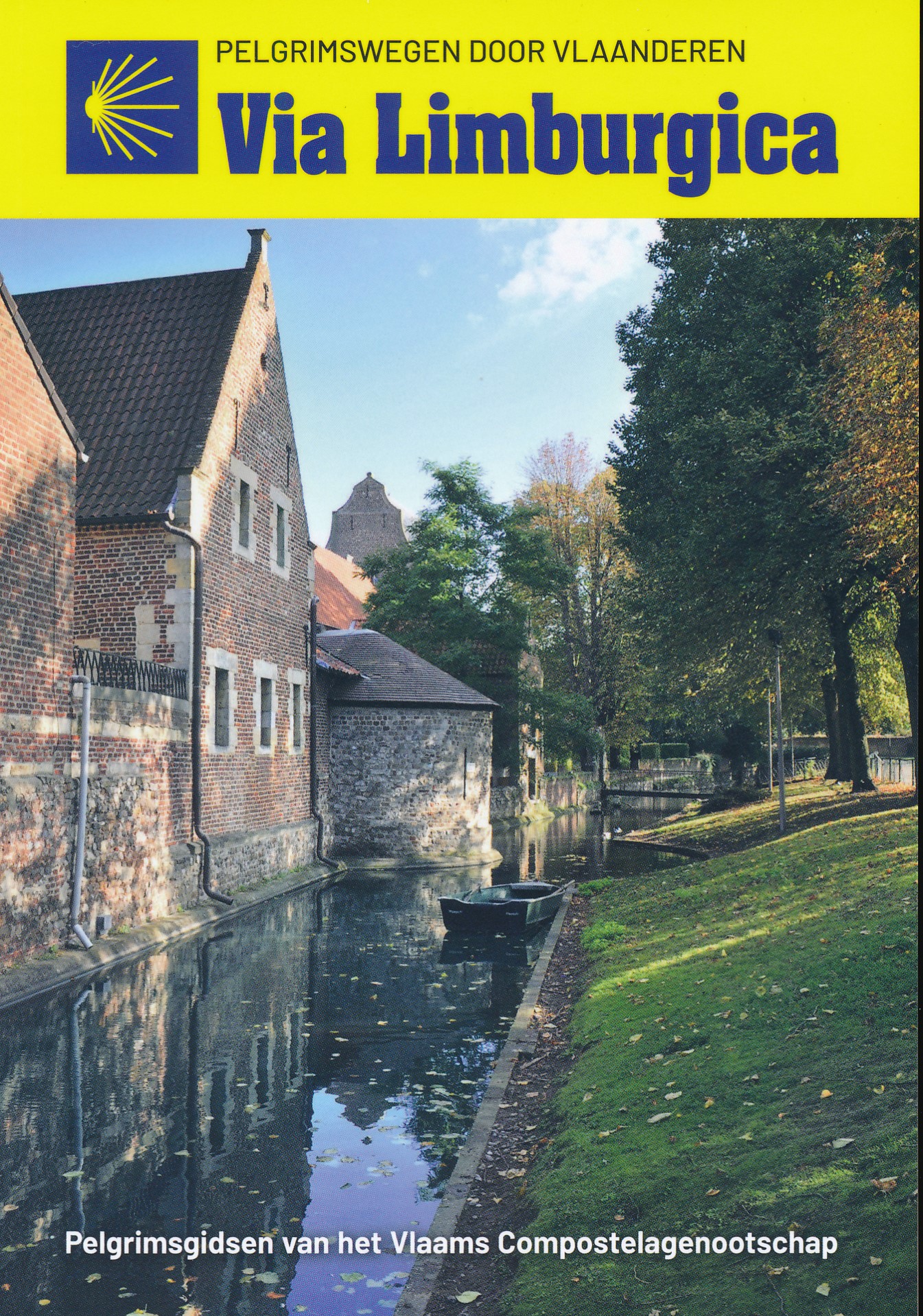
- Via LimburgicaGPX
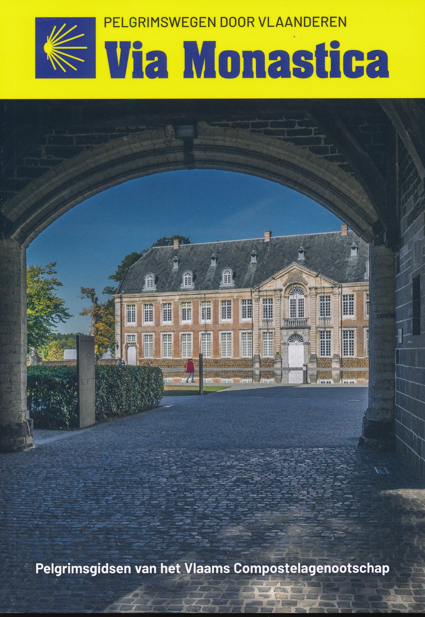
- Via MonasticaGPX
- Via MosanaGPX
Links
Feiten
Verslagen
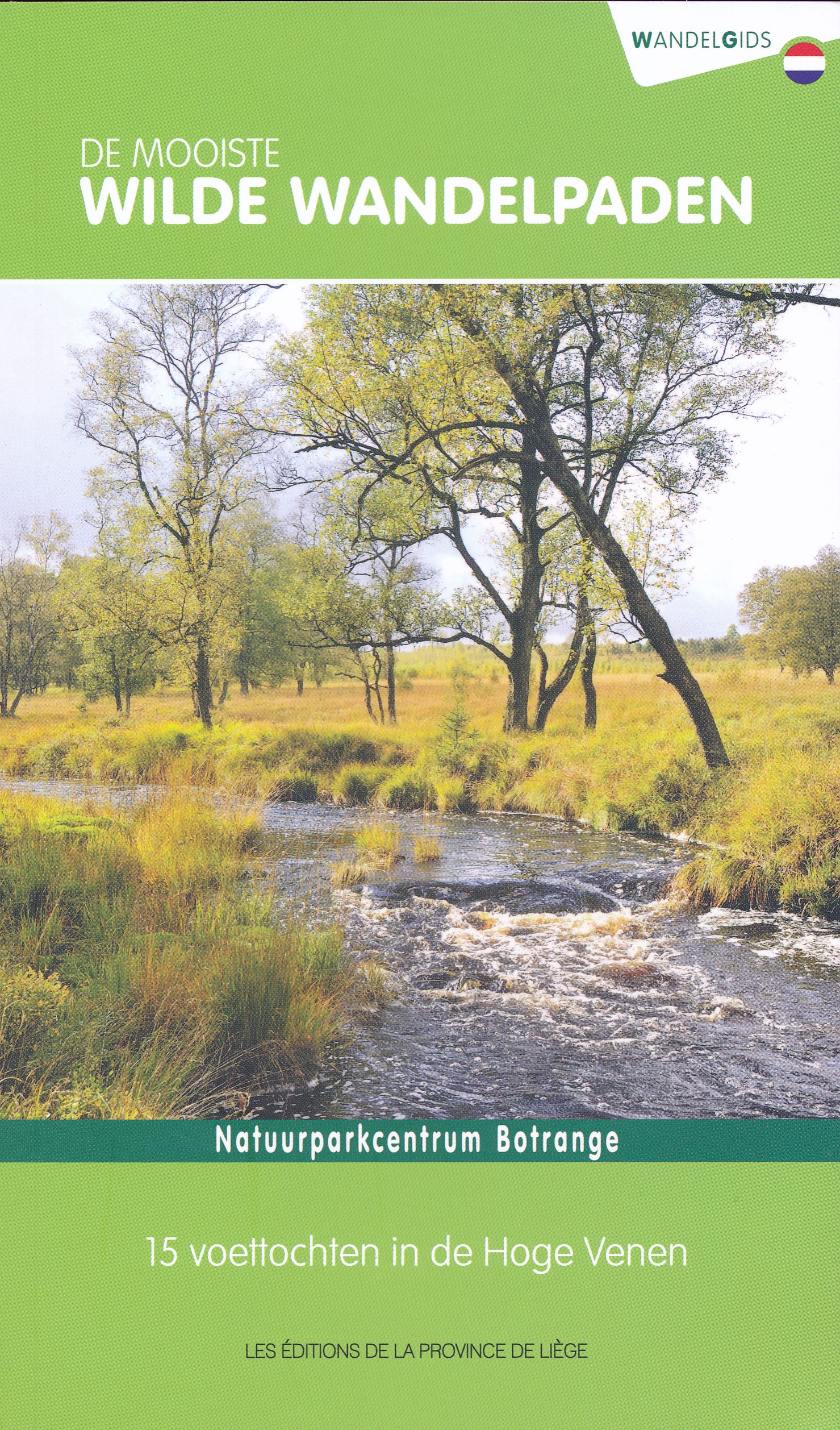
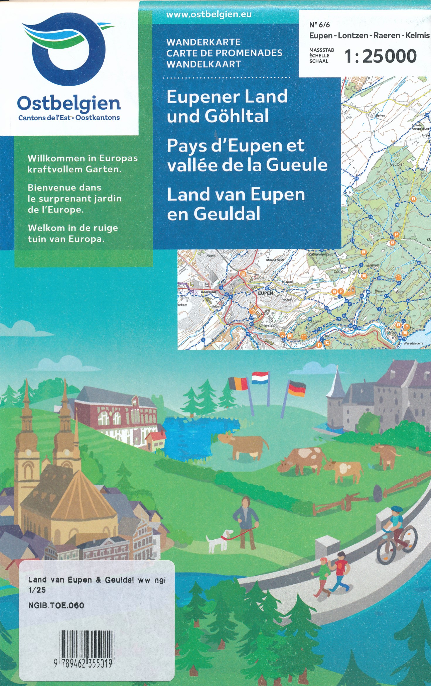
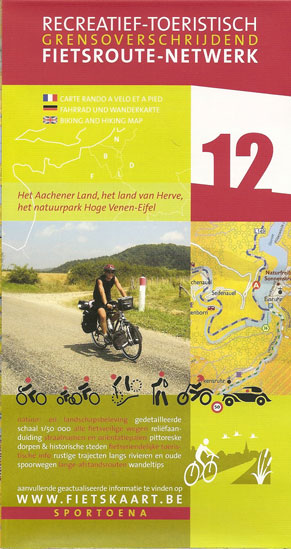
Gidsen en kaarten
Overnachting
Organisaties
Reisorganisaties
GPS
Anders
Boeken

De Zwerver
Netherlands
2022
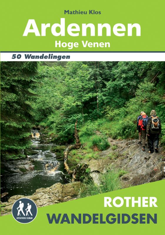
Netherlands
2022
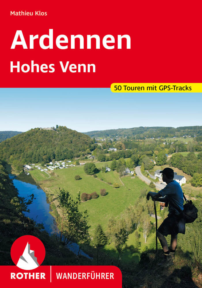
- Wandelgids Ardennen | Rother Bergverlag
- uitstalige wandelgids met zeer goed beschreven wandelingen in de genoemde gebieden. Redelijk kaartmateriaal, vooral de beschrijving van de route en de praktische info die er bij hoort is meer dan goed. Mit den Ardennen und und dem Hohen Venn verfügt Belgien über zwei Mittelgebirge, die noch nahezu unbekannt sind. Die letzten Hochmoore und... Read more

De Zwerver
Netherlands
2021
Netherlands
2021

De Zwerver
Netherlands
2023
Netherlands
2023

De Zwerver
Netherlands
2021
Netherlands
2021
De Zwerver
Netherlands
2018
Netherlands
2018

De Zwerver
Netherlands
2021
Netherlands
2021

De Zwerver
Netherlands
2022
Netherlands
2022
Meer boeken…
Kaarten
De Zwerver
Netherlands
Netherlands
- Also available from:
- Stanfords, United Kingdom

Stanfords
United Kingdom
United Kingdom
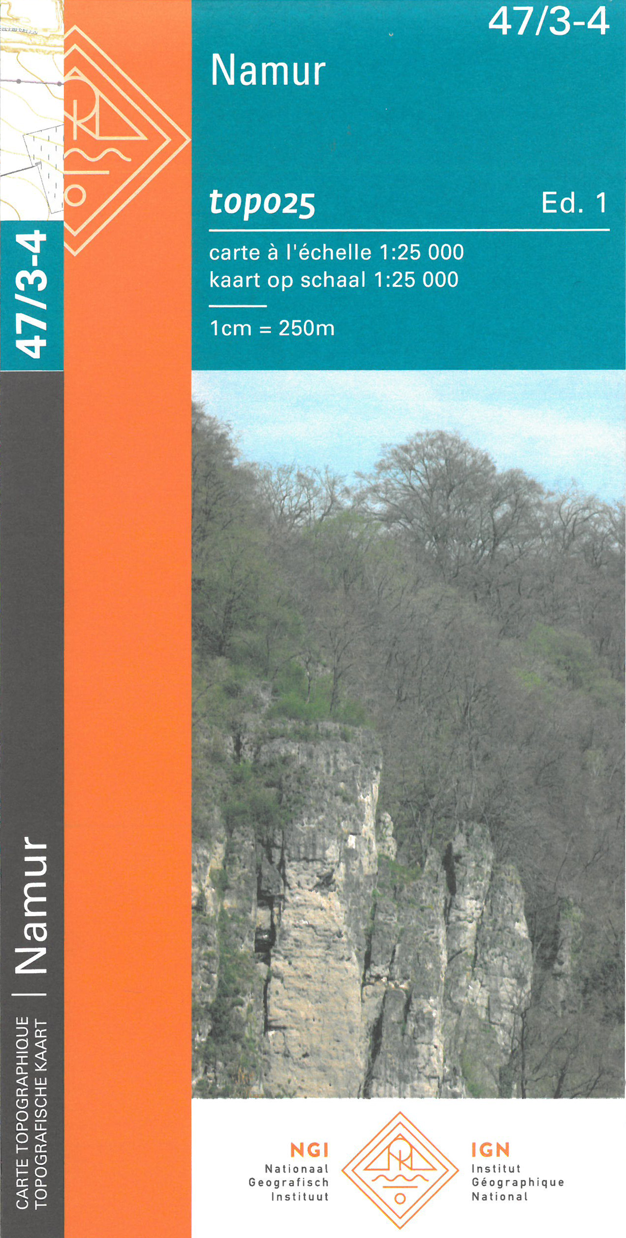
- Namur NGI Topo 47/3-4
- Topographical survey of Belgium at 1:20,000 from Nationaal Geografisch Instituut / Institut Géographique National, the country’s national survey organization. Each 20K map covers one quarter of the corresponding 1:50,000 map (with adjustments in the border and coastal areas). The maps provide all the information expected of topographic mapping... Read more
De Zwerver
Netherlands
Netherlands
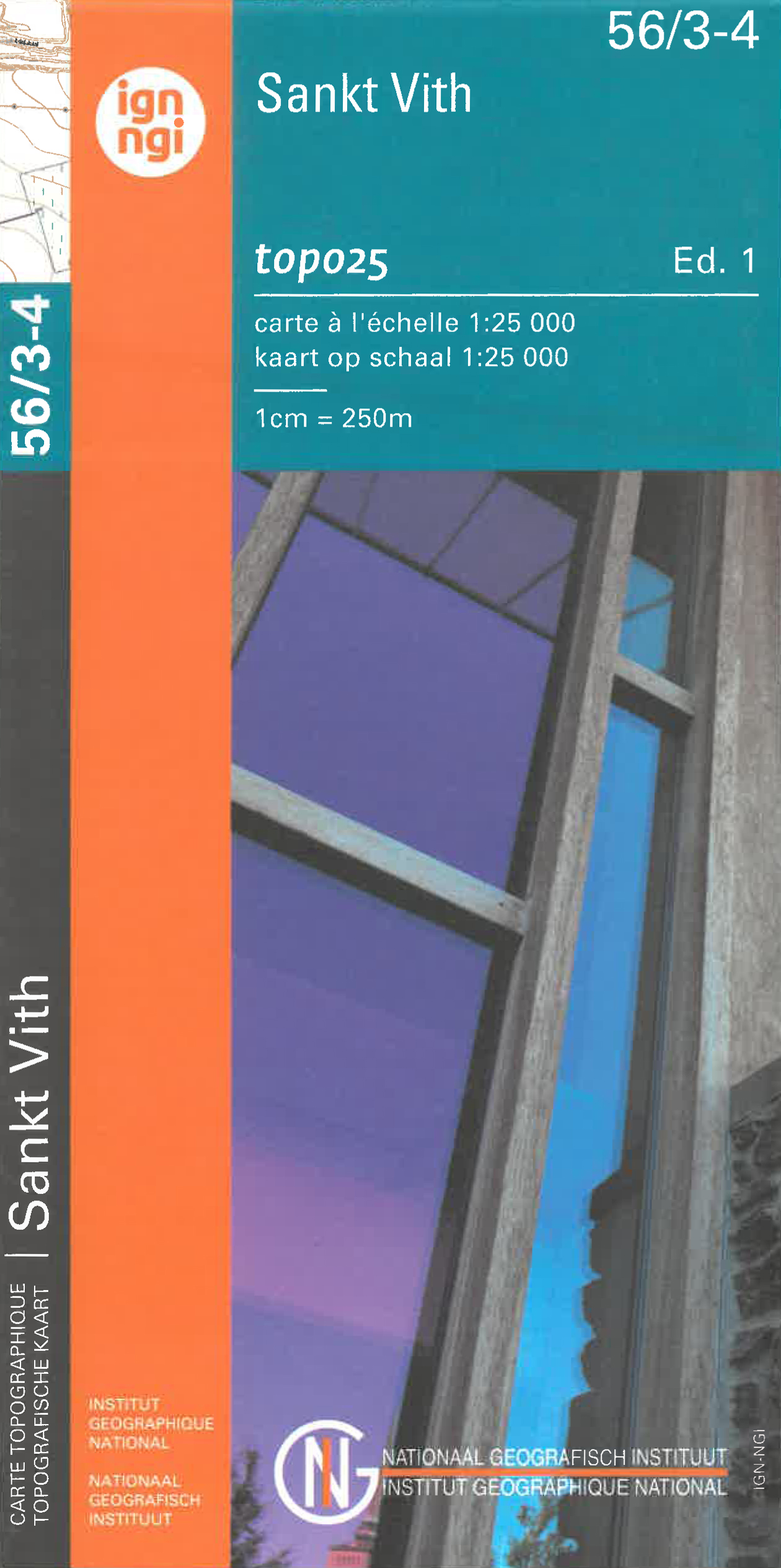
- Wandelkaart - Topografische kaart 56/3-4 Topo25 Sankt Vith - Schoenberg | NGI - Nationaal Geografisch Instituut
- Zeer gedetailleerde topografische kaart van een deel van Belgie. Deze kaart is bijzonder geschikt voor wandeltochten in met name het heuvelachtige gebied van de Ardennen. Voorzien van alle topografische details als hoogtelijnen, waterlopen, bosgebieden, paden en brandgangen. Hoogtelijnen maken het mogelijk de moeilijkheidsgraad van een... Read more
De Zwerver
Netherlands
Netherlands
- Also available from:
- Stanfords, United Kingdom
Stanfords
United Kingdom
United Kingdom
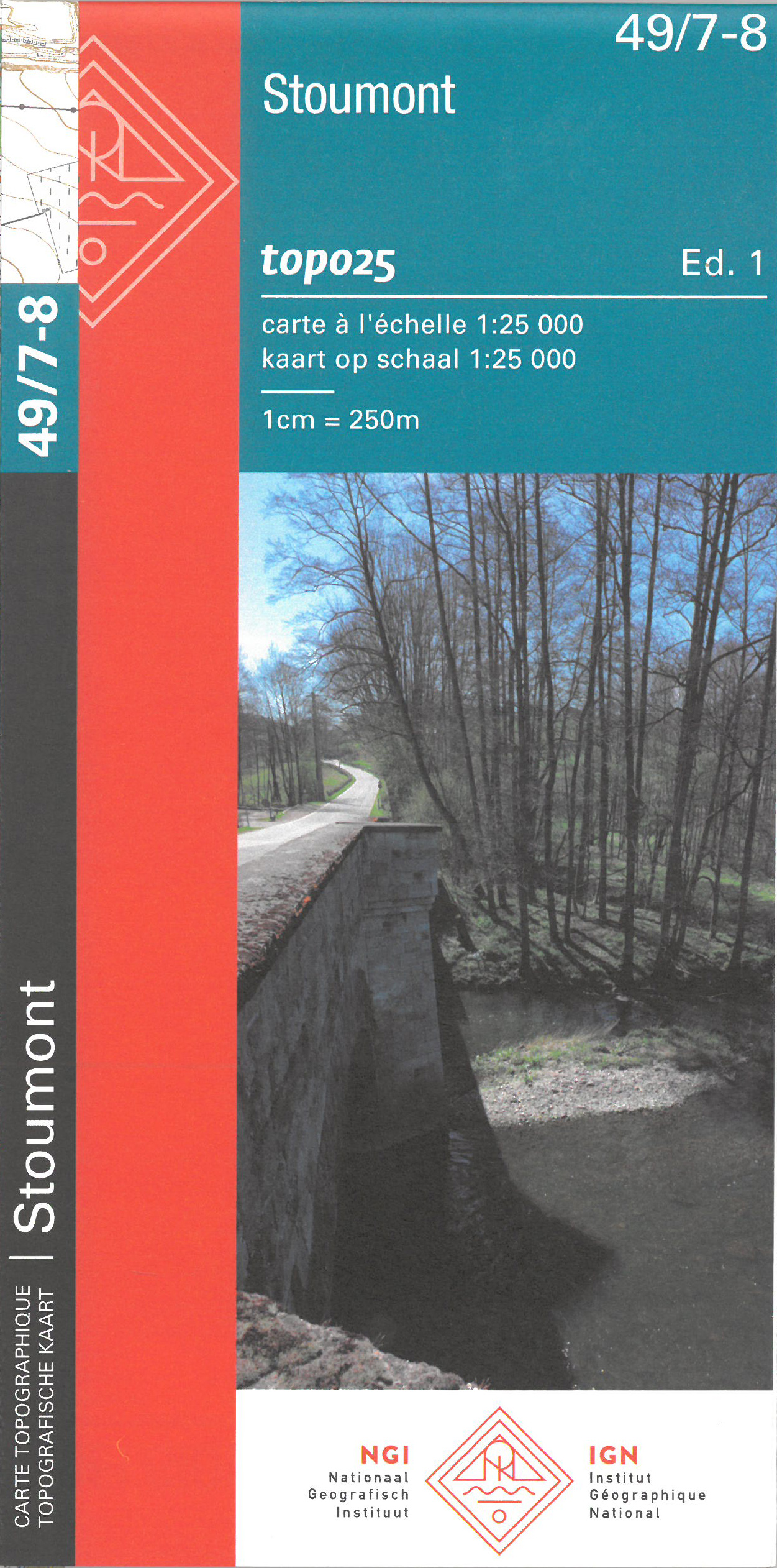
- Stoumont NGI Topo 49/7-8
- Topographical survey of Belgium at 1:20,000 from Nationaal Geografisch Instituut / Institut Géographique National, the country’s national survey organization. Each 20K map covers one quarter of the corresponding 1:50,000 map (with adjustments in the border and coastal areas). The maps provide all the information expected of topographic mapping... Read more

De Zwerver
Netherlands
2023
Netherlands
2023
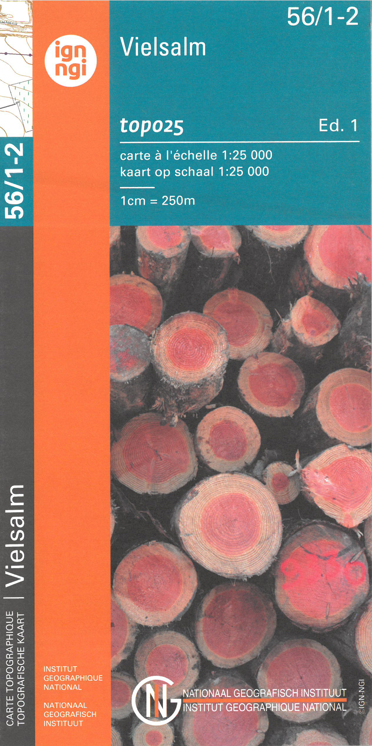
De Zwerver
Netherlands
Netherlands
- Wandelkaart - Topografische kaart 56/1-2 Topo25 Vielsalm - Recht | NGI - Nationaal Geografisch Instituut
- Zeer gedetailleerde topografische kaart van een deel van Belgie. Deze kaart is bijzonder geschikt voor wandeltochten in met name het heuvelachtige gebied van de Ardennen. Voorzien van alle topografische details als hoogtelijnen, waterlopen, bosgebieden, paden en brandgangen. Hoogtelijnen maken het mogelijk de moeilijkheidsgraad van een... Read more

De Zwerver
Netherlands
Netherlands
- Wandelkaart 05 Outdoorkarte FR Elsass - Colmar - Sélestat - Elzas | Kümmerly & Frey
- The central part of Alsace around Colmar and Sélestat on a GPS compatible, double-sided map at 1:50,000 from Kümmerly+Frey printed on sturdy, waterproof and tear-resistant synthetic paper; contoured, with hiking and cycling routes, sites for other recreational activities, various accommodation options, restaurants and ferme-auberge locations,... Read more
- Also available from:
- Stanfords, United Kingdom

Stanfords
United Kingdom
United Kingdom
- Alsace - Colmar - Sélestat - Freiburg im Breisgau - Lahr K+F Outdoor Map 5
- The central part of Alsace around Colmar and Sélestat on a GPS compatible, double-sided map at 1:50,000 from Kümmerly+Frey printed on sturdy, waterproof and tear-resistant synthetic paper; contoured, with hiking and cycling routes, sites for other recreational activities, various accommodation options, restaurants and ferme-auberge locations,... Read more
De Zwerver
Netherlands
Netherlands