
België
Beschrijving
 This small kingdom has some surprisingly lovely landscapes. The Wallonian Ardennes region in the southeast is most famous among hikers, with its densely wooded river valleys and farm lands higher up on the undulating plateaus. In the northeast are the mysterious Hautes Fagnes, an upland plain of peat moors, partly in the Ardennes and partly in the Eifel region, and now a nature reserve that offers stunning beauty in all seasons. The north and west of Belgium, known as Flanders, is mostly low flat countryside, but nonetheless traversed by a myriad of long distance hiking trails, some of which lead through historic towns like Bruges and Ghent.
The majority of Belgian long distance hiking trails are known as GR's, a conveniently bi-lingual abbreviation of Grande Randonnees (French) or Grote Routepaden (Dutch). European long distance trails E2, E3 and E9 all lead through Belgium, and coincide with GR's.
Along the GR's, small hotels, B&B's and camping sites can be found in almost every village or town. Walking Belgium is a fun experience, frequently taking you back in time to what appears to be some older version of Europe. The often somewhat ramshackle towns, quaint shops and cafe's, old-fashioned politeness, excellent food and beer, there is simply no hurry to modernize, just live for the moment.
Kaart


Paden
- DijlelandGPX
- E2GPX
- E3GPX
- E9GPX
- GB - Gaume Buissonière
- GR12 - Amsterdam - ParisGPX
- GR121 - Wavre - BoulogneGPX
- GR122 - ScheldelandGPX
- GR123 - Tour du Hainaut occidentalGPX
- GR125 - Tour de l'Entre-Sambre-et-MeuseGPX
- GR126 - Brussel-Namen-Membre sur SamoisGPX
- GR128 - VlaanderenrouteGPX
- GR129 - Dwars door BelgiëGPX
- GR130 - IJzerGPX
- GR131 - Kreken - IeperboogGPX
- GR14 - Sentier de l'ArdenneGPX
- GR15 - AE - Ardennes-EifelGPX
- GR16 - Sentier de la SemoisGPX
- GR412 - Sentier des TerrilsGPX
- GR5GPX
- GR512 - Vlaams BrabantGPX
- GR56 - Hautes Fagnes - EifelGPX
- GR561 - Kempen-MaaspadGPX
- GR563 - Tour du Pays de HerveGPX
- GR564 - Kempen - CondrozGPX
- GR565 - Renier SniederspadGPX
- GR57 - Vallée de l'OurtheGPX
- GR570 - Pays des Trois FrontièresGPX
- GR571 - Vallées des LégendesGPX
- GR573 - Hautes FagnesGPX
- GR575 - Tour du Condroz NamuroisGPX
- GR576 - Tour du Condroz LiégeoisGPX
- GR577 - Tour de la FamenneGPX
- GR579 - Brussels - LiègeGPX
- GR5a - Wandelronde van VlaanderenGPX
- GrenslandpadGPX
- Groene GordelGPX
- HagelandGPX
- HeuvellandGPX
- KempenGPX
- Kempen-BroekGPX
- Mol OmGPX
- ReynaertlandGPX
- Rhine-Meuse Trail
- Santiago de Compostela Pilgrims WayGPX
- Tour de la Vesdre
- Tour du Brabant WallonGPX
- Transardense Route
- UilenspiegelpadGPX
- Via ArduinnaGPX
- Via BrabanticaGPX
- Via BrugensisGPX
- Via Gallia BelgicaGPX
- Via LimburgicaGPX
- Via MonasticaGPX
- Via MosanaGPX
- Via Scaldea
- Via Thiérache
- Vlaamse ArdennenGPX
Regios
Staten


Links
Feiten
Verslagen
Gidsen en kaarten
Overnachting
Organisaties
Reisorganisaties
GPS
Anders
Boeken

Netherlands
2020
Netherlands
2022
Netherlands
2015
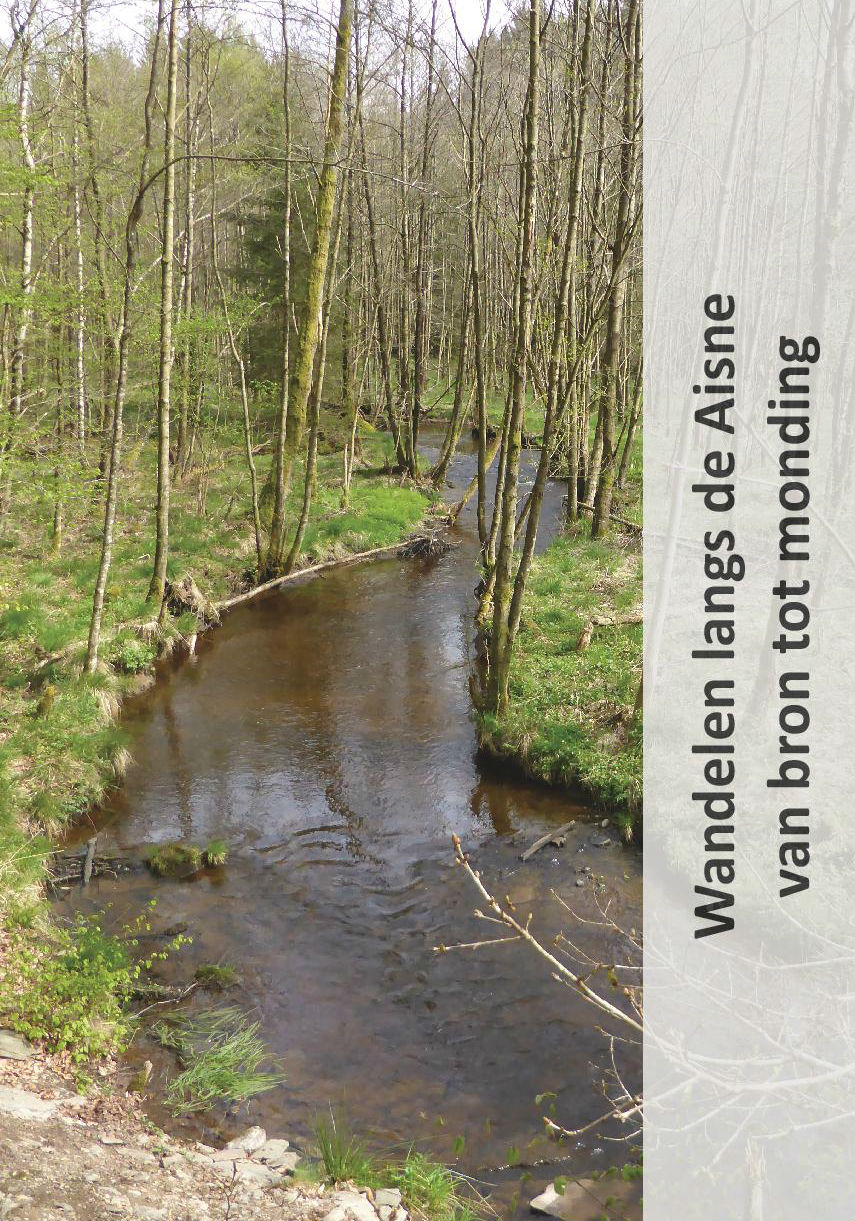
- Wandelgids Wandelen langs de Aisne van bron tot monding | Jan Veltkamp
- De wandelgids Wandelen langs de Aisne, in de Belgische Ardennen, van bron tot monding. De volledige route van de bron (Odeigne) tot de monding (Bomal) wordt beschreven. De gids, geniet, omvat 40 pagina’s en is rijk geïllustreerd. Ook maken routekaartjes, op originele topografische kaarten, deel uit van de gids. De gids is in het Nederlands. Het... Read more
Netherlands
2017
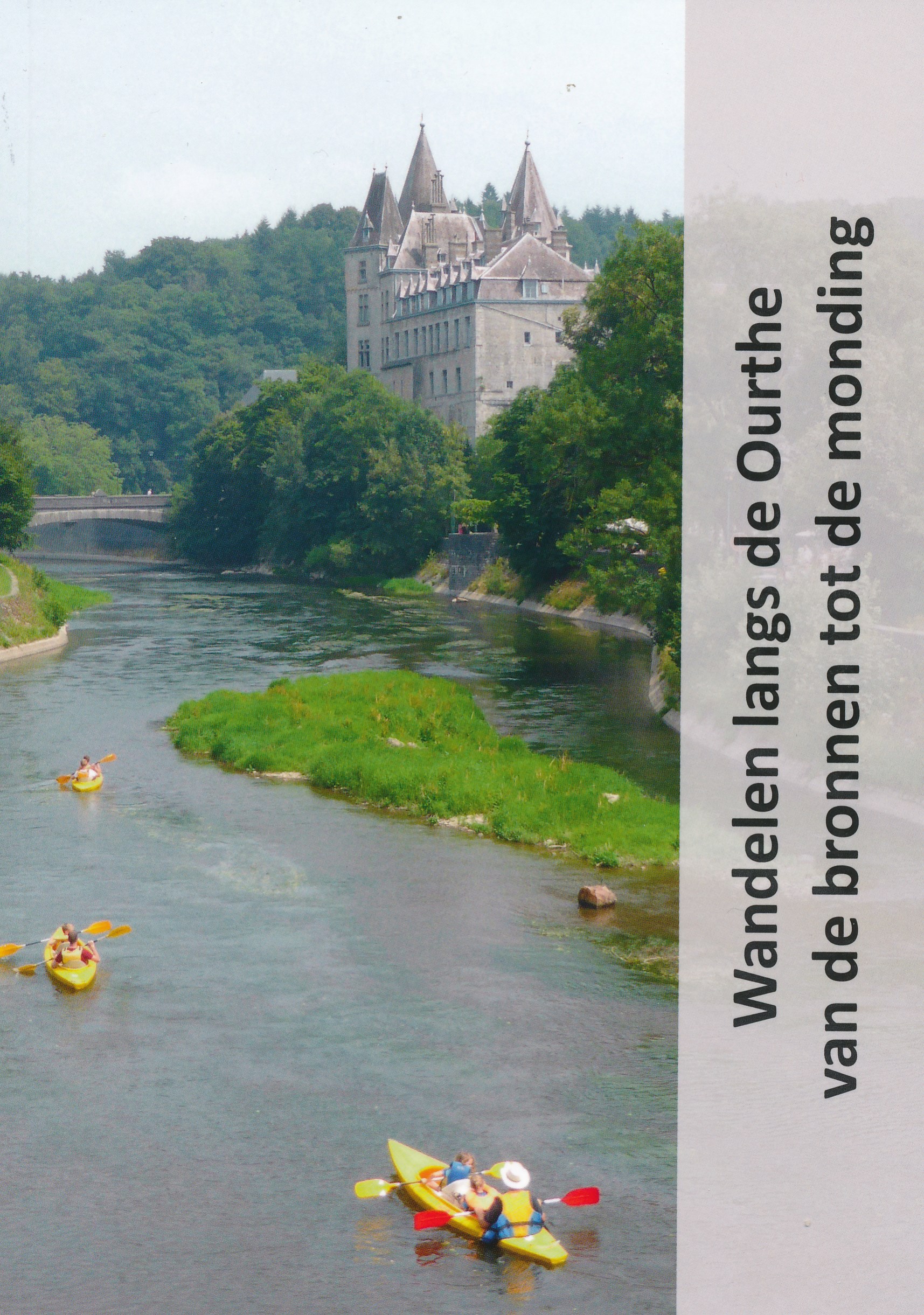
- Wandelgids Wandelen langs de Ourthe | Jan Veltkamp
- Goede beschrijving van de wandelroute van de bronnen tot de monding van de Ourthe. Veel foto's; maar zeker ook routebeschrijving, verdere praktsche informatie over zaken langs de route is wat beperkt. Kaatmateriaal uitstekend ingetekend op topografische kaarten van Belgie op schaal 1:50.000 Read more

Netherlands
2018
- Reisgids Staycation Guide | Your Little Black Book
- Anne de Buck is de oprichter van Nederlands grootste (urban) travel en lifestyle blog Your Little Black Book. Als professioneel travelblogger reist ze de hele wereld over op zoek naar de leukste hotspots en verborgen parels. Bijna iedere week wordt ze wakker in een andere stad, maar thuishaven Amsterdam blijft haar favoriet. Op... Read more

Netherlands
2020

Netherlands
2018
- Reisgids Trotter België | Lannoo
- Veel aandacht voor praktische informatie als hotels en restaurants, maar ook, soms wat beperkte beschrijvingen van bezienswaardigheden. Handig zijn de vele plattegronden: verrassend en verfrissend geschreven! Trotter is een originele serie reisgidsen met een eigen mening en persoonlijkheid. Trotter houdt geen clichés in stand, maar biedt de... Read more

Netherlands
2020

Netherlands
2012
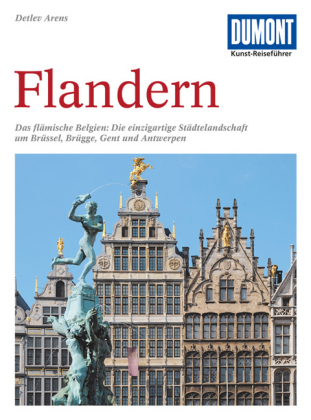
- Reisgids Kunstreiseführer Flandern | Dumont
- Der Namen Flandern gehört zu den glanzvollsten der europäischen Kulturgeschichte. Er steht für eine Städtelandschaft, die auf dem Kontinent ihresgleichen nicht hat: mit Brügge als historischem Zentrum, mit Gent und Antwerpen, die große Vergangenheit und dynamische Gegenwart eindrucksvoll verbinden. Kaum dahinter zurück stehen Löwen und Mecheln,... Read more
Netherlands
2018
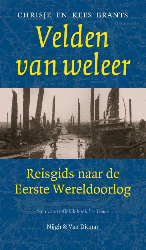
- Reisgids Velden van weleer | Nijgh & van Ditmar
- Velden van weleer, een onalledaagse reisgids, voert de reiziger langs de bizarre sporen van de Eerste Wereldoorlog. Routebeschrijvingen en detailkaarten wijzen de weg naar de resten van de strijd: forten, musea en loopgraven, bezienswaardigheden van een pijnlijk levend verleden. Maar Velden van weleer is vooral een gids naar de oorlog zelf en... Read more

Netherlands
2015
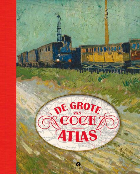
- Reisgids - Reisverhaal De grote Van Gogh atlas | Nienke Denekamp, René van Blerk
- Vincent van Gogh leefde in een spannende tijd. De moderne wereld was volop in beweging door de opkomst van een wijdvertakt spoorwegnet in Europa. En Vincent bewoog mee! In De Grote Van Gogh Atlas volgen we Vincent langs alle dorpen en steden waar hij woonde. We zien hoe zijn wereld er in die tijd uitzag: van de landelijke rust op het platteland... Read more
Kaarten
Netherlands
- Also available from:
- Stanfords, United Kingdom

United Kingdom
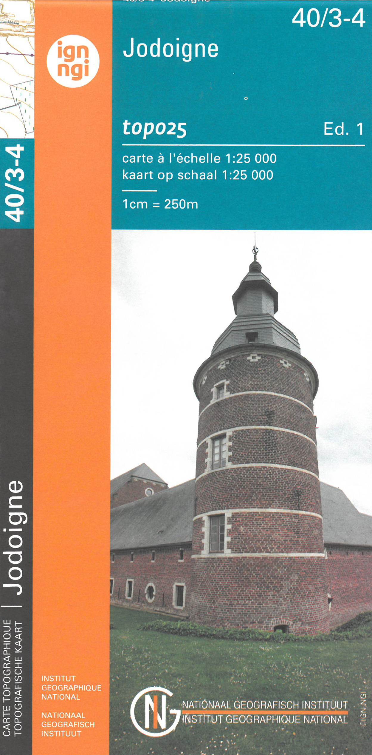
- Jodoigne NGI Topo 40/3-4
- Topographical survey of Belgium at 1:20,000 from Nationaal Geografisch Instituut / Institut Géographique National, the country’s national survey organization. Each 20K map covers one quarter of the corresponding 1:50,000 map (with adjustments in the border and coastal areas). The maps provide all the information expected of topographic mapping... Read more
Netherlands
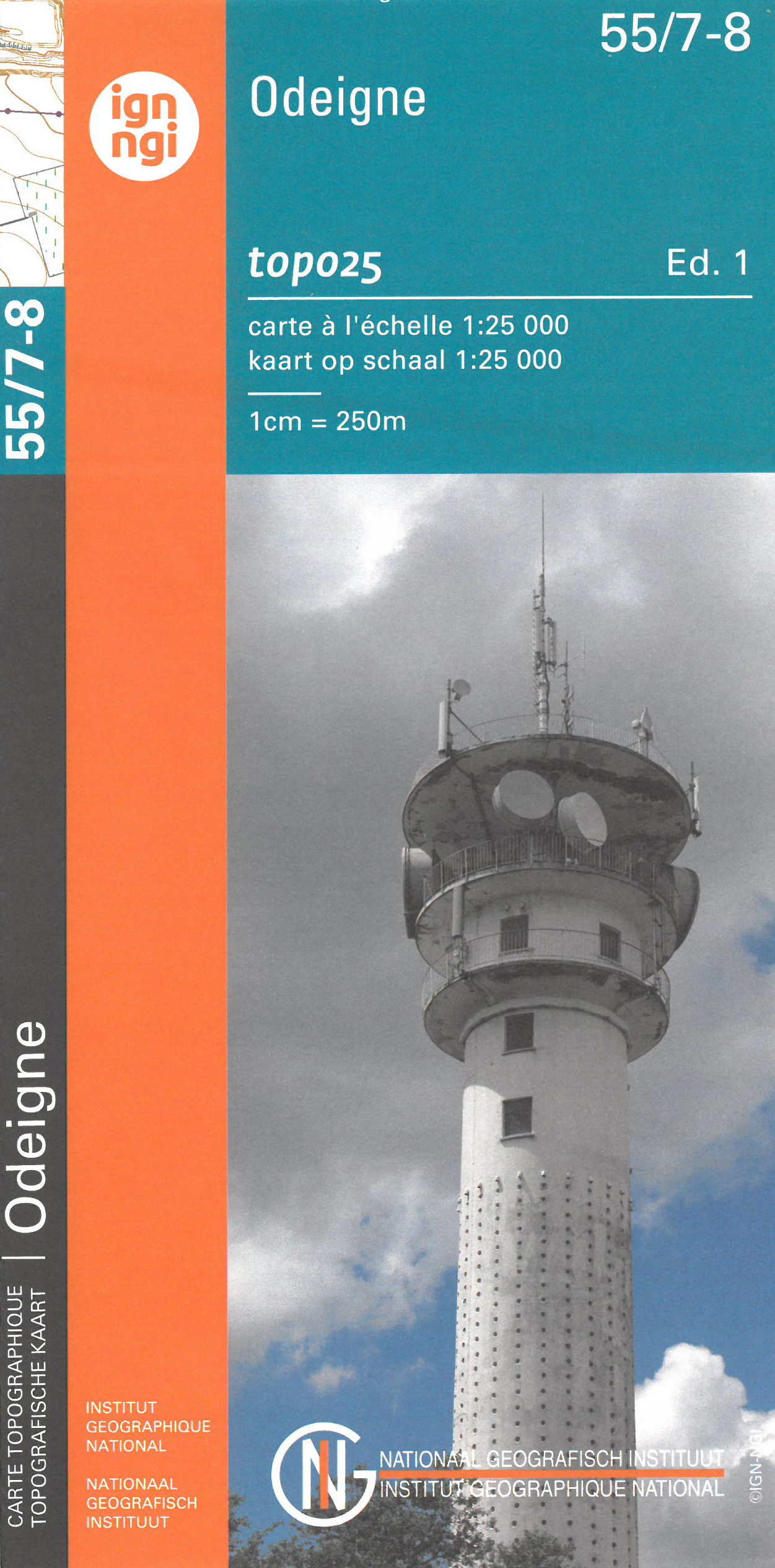
- Wandelkaart - Topografische kaart 55/7-8 Topo25 Odeigne | NGI - Nationaal Geografisch Instituut
- Zeer gedetailleerde topografische kaart van een deel van Belgie. Deze kaart is bijzonder geschikt voor wandeltochten, bijvoorbeeld in het heuvelachtige gebied van de Ardennen. Wel moet u bedenken dat op deze kaarten wandelroutes als zodanig niet staan ingetekend. Voorzien van alle topografische details als hoogtelijnen, waterlopen, bosgebieden,... Read more
Netherlands
- Also available from:
- Stanfords, United Kingdom

United Kingdom
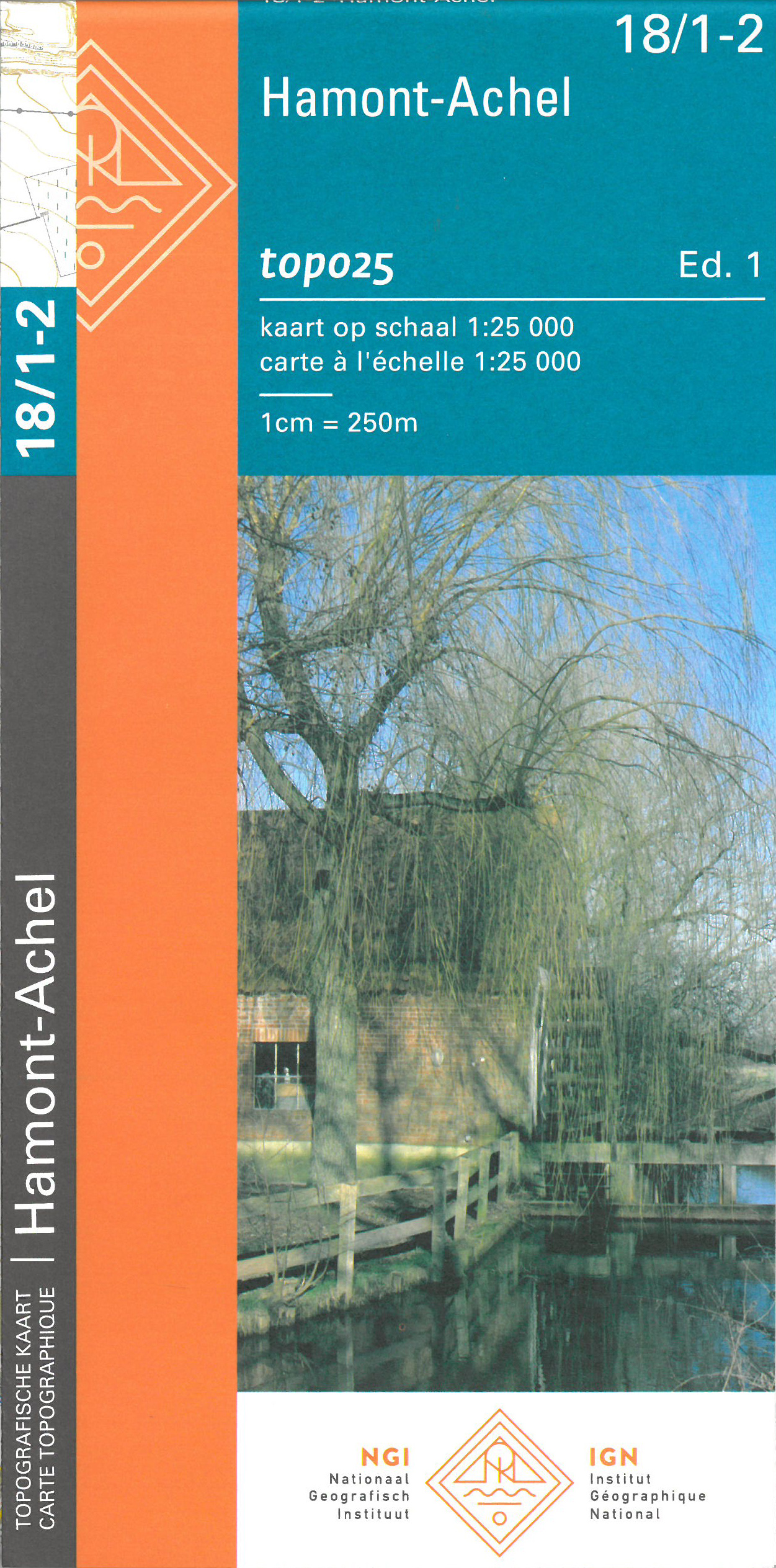
- Hamont-Achel NGI Topo 18/1-2
- Topographical survey of Belgium at 1:20,000 from Nationaal Geografisch Instituut / Institut Géographique National, the country’s national survey organization. Each 20K map covers one quarter of the corresponding 1:50,000 map (with adjustments in the border and coastal areas). The maps provide all the information expected of topographic mapping... Read more
Netherlands
- Also available from:
- Stanfords, United Kingdom

United Kingdom
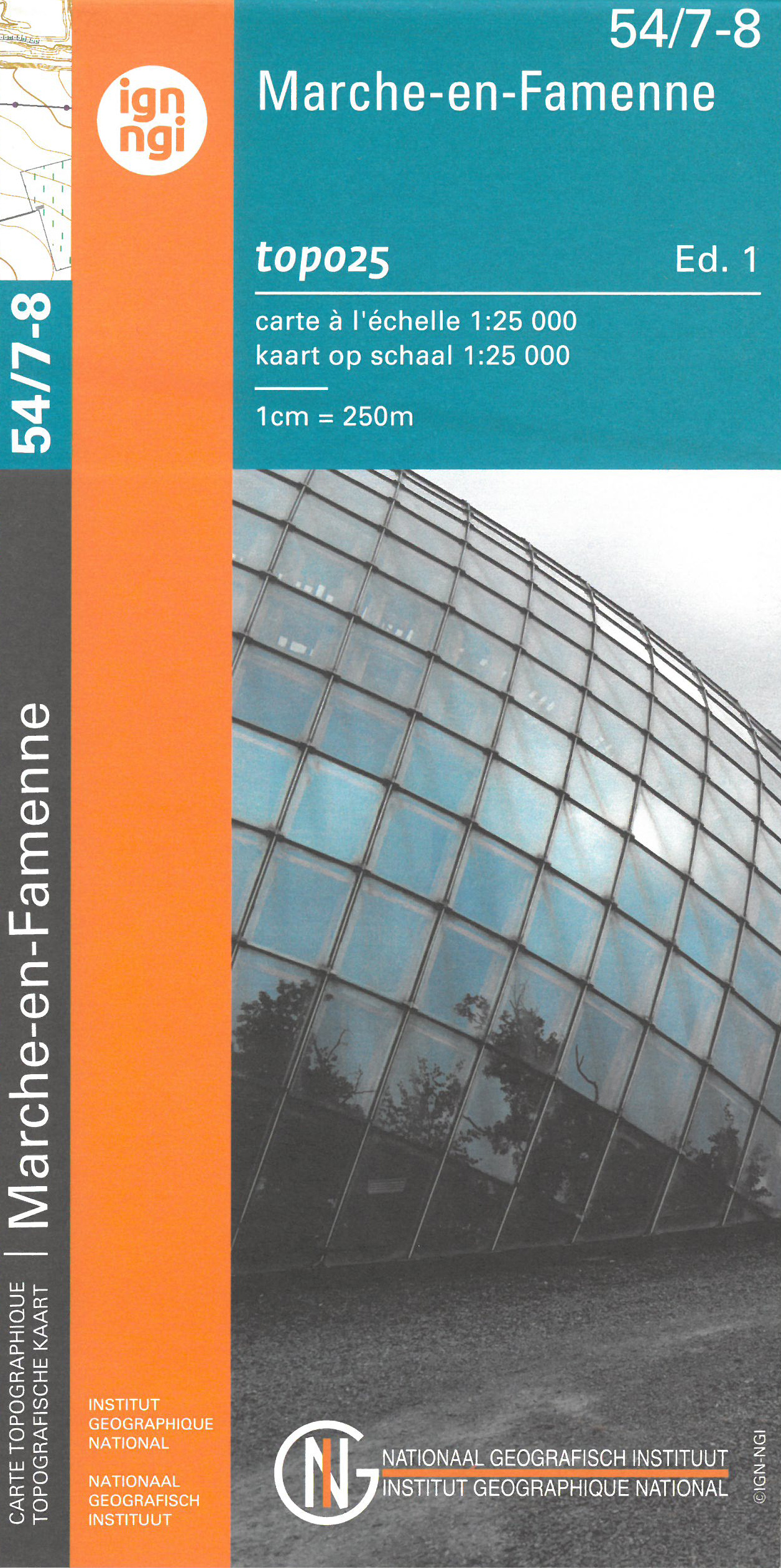
- Marche-en-Famenne NGI Topo 54/7-8
- Topographical survey of Belgium at 1:20,000 from Nationaal Geografisch Instituut / Institut Géographique National, the country’s national survey organization. Each 20K map covers one quarter of the corresponding 1:50,000 map (with adjustments in the border and coastal areas). The maps provide all the information expected of topographic mapping... Read more
Netherlands
- Also available from:
- Stanfords, United Kingdom
United Kingdom
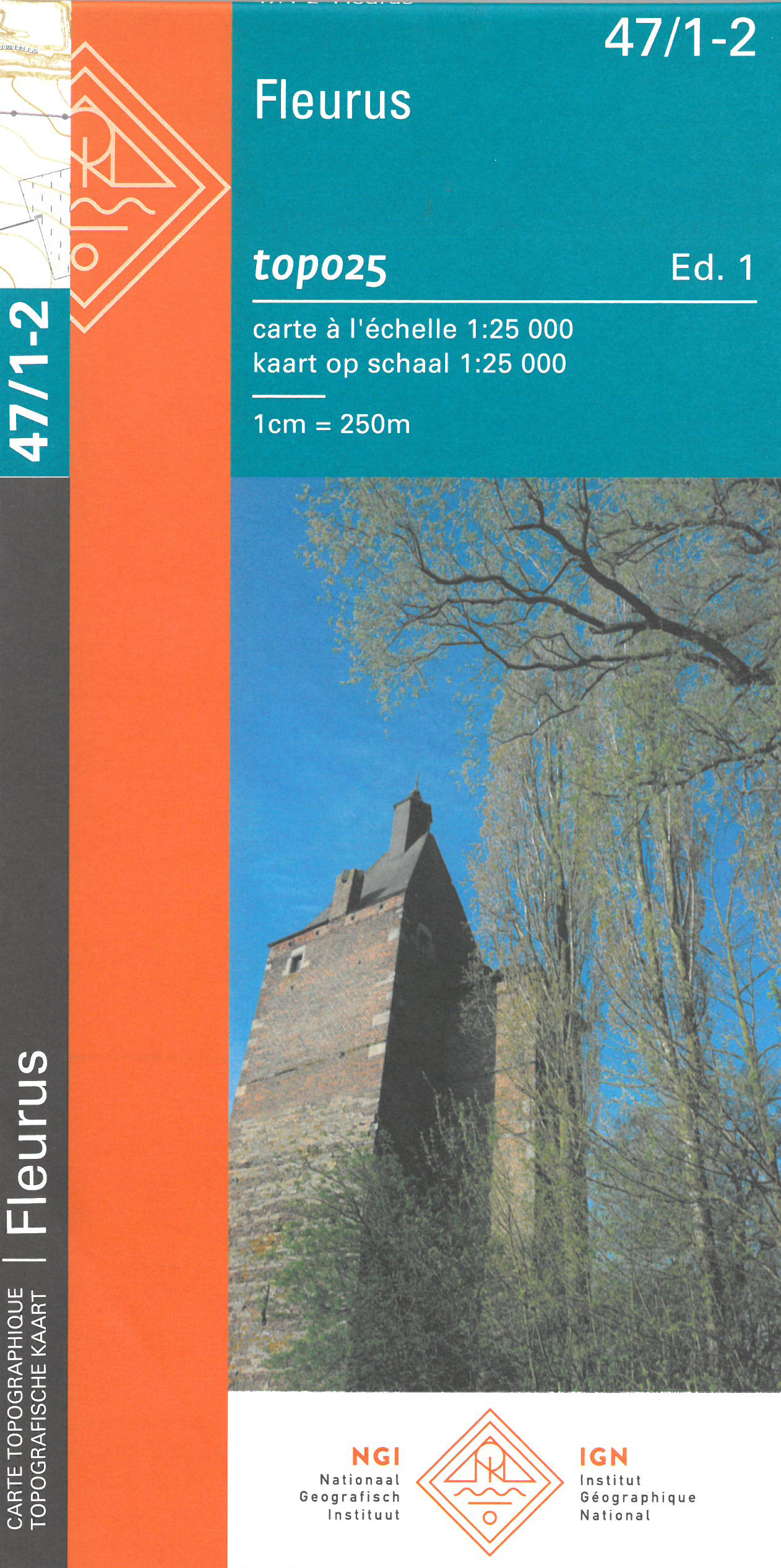
- Fleurus NGI Topo 47/1-2
- Topographical survey of Belgium at 1:20,000 from Nationaal Geografisch Instituut / Institut Géographique National, the country’s national survey organization. Each 20K map covers one quarter of the corresponding 1:50,000 map (with adjustments in the border and coastal areas). The maps provide all the information expected of topographic mapping... Read more
Netherlands
- Also available from:
- Stanfords, United Kingdom

United Kingdom
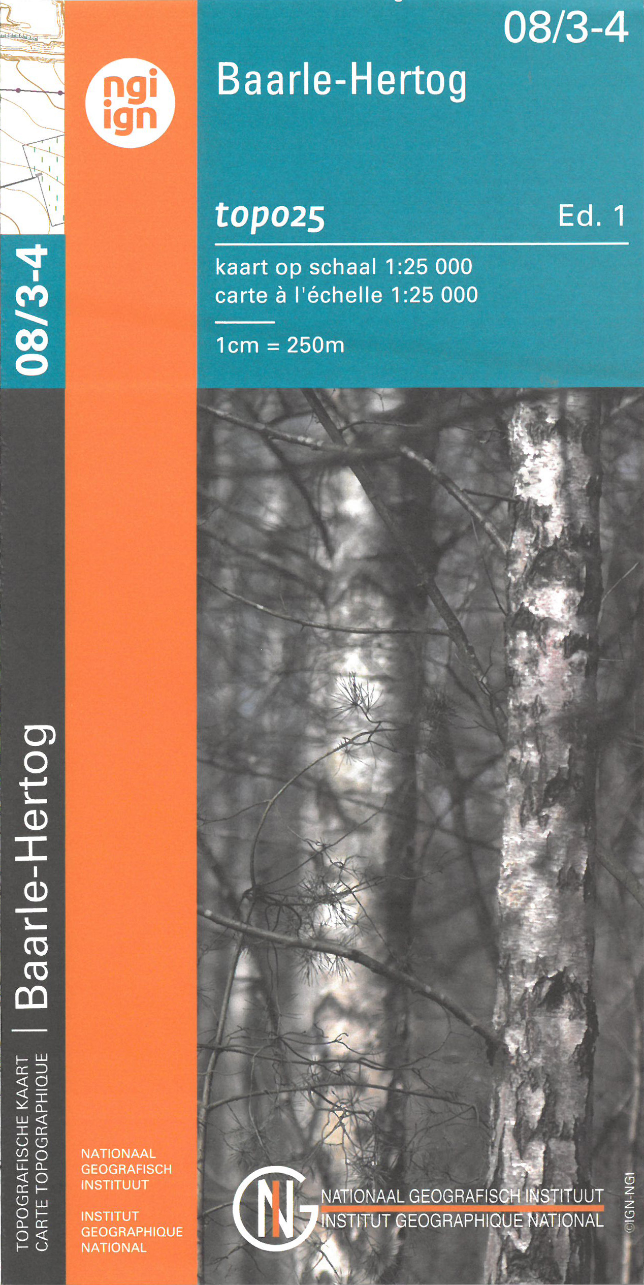
- Baarle-Hertog NGI Topo 08/3-4
- Topographical survey of Belgium at 1:20,000 from Nationaal Geografisch Instituut / Institut Géographique National, the country’s national survey organization. Each 20K map covers one quarter of the corresponding 1:50,000 map (with adjustments in the border and coastal areas). The maps provide all the information expected of topographic mapping... Read more
Netherlands
- Also available from:
- Stanfords, United Kingdom
United Kingdom
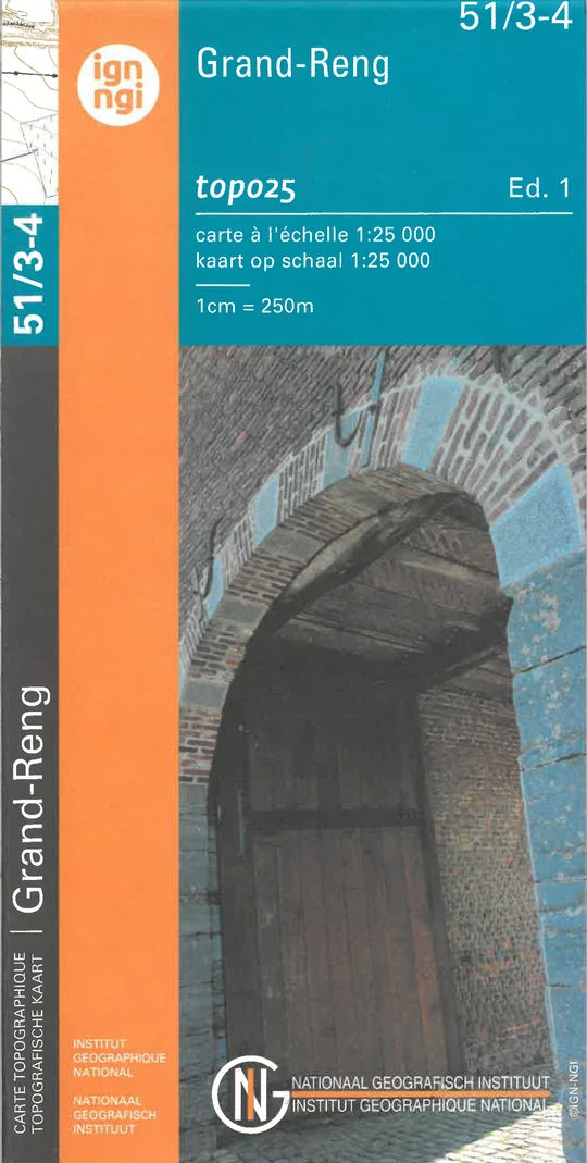
- Grand-Reng NGI Topo 51/3-4
- Topographical survey of Belgium at 1:20,000 from Nationaal Geografisch Instituut / Institut Géographique National, the country’s national survey organization. Each 20K map covers one quarter of the corresponding 1:50,000 map (with adjustments in the border and coastal areas). The maps provide all the information expected of topographic mapping... Read more

Netherlands
- Wandelkaart - Topografische kaart 13/1-2 Topo25 Brugge | NGI - Nationaal Geografisch Instituut
- Topographical survey of Belgium at 1:20,000 from Nationaal Geografisch Instituut / Institut Géographique National, the country’s national survey organization. Each 20K map covers one quarter of the corresponding 1:50,000 map (with adjustments in the border and coastal areas). The maps provide all the information expected of topographic mapping... Read more
- Also available from:
- Stanfords, United Kingdom

United Kingdom
- Brugge NGI Topo 13/1-2
- Topographical survey of Belgium at 1:20,000 from Nationaal Geografisch Instituut / Institut Géographique National, the country’s national survey organization. Each 20K map covers one quarter of the corresponding 1:50,000 map (with adjustments in the border and coastal areas). The maps provide all the information expected of topographic mapping... Read more
Netherlands
- Also available from:
- Stanfords, United Kingdom
United Kingdom
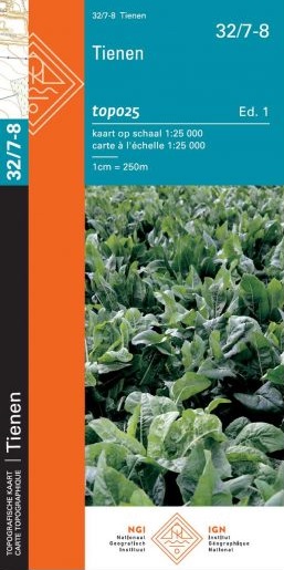
- Tienen NGI Topo 32/7-8
- Topographical survey of Belgium at 1:20,000 from Nationaal Geografisch Instituut / Institut Géographique National, the country’s national survey organization. Each 20K map covers one quarter of the corresponding 1:50,000 map (with adjustments in the border and coastal areas). The maps provide all the information expected of topographic mapping... Read more
Netherlands
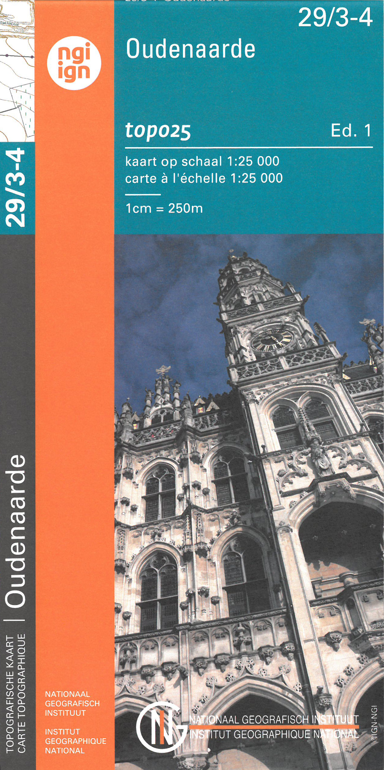
- Wandelkaart - Topografische kaart 29/3-4 Topo25 Oudenaarde | NGI - Nationaal Geografisch Instituut
- Topographical survey of Belgium at 1:20,000 from Nationaal Geografisch Instituut / Institut Géographique National, the country’s national survey organization. Each 20K map covers one quarter of the corresponding 1:50,000 map (with adjustments in the border and coastal areas). The maps provide all the information expected of topographic mapping... Read more
- Also available from:
- Stanfords, United Kingdom

United Kingdom
- Oudenaarde NGI Topo 29/3-4
- Topographical survey of Belgium at 1:20,000 from Nationaal Geografisch Instituut / Institut Géographique National, the country’s national survey organization. Each 20K map covers one quarter of the corresponding 1:50,000 map (with adjustments in the border and coastal areas). The maps provide all the information expected of topographic mapping... Read more
Netherlands
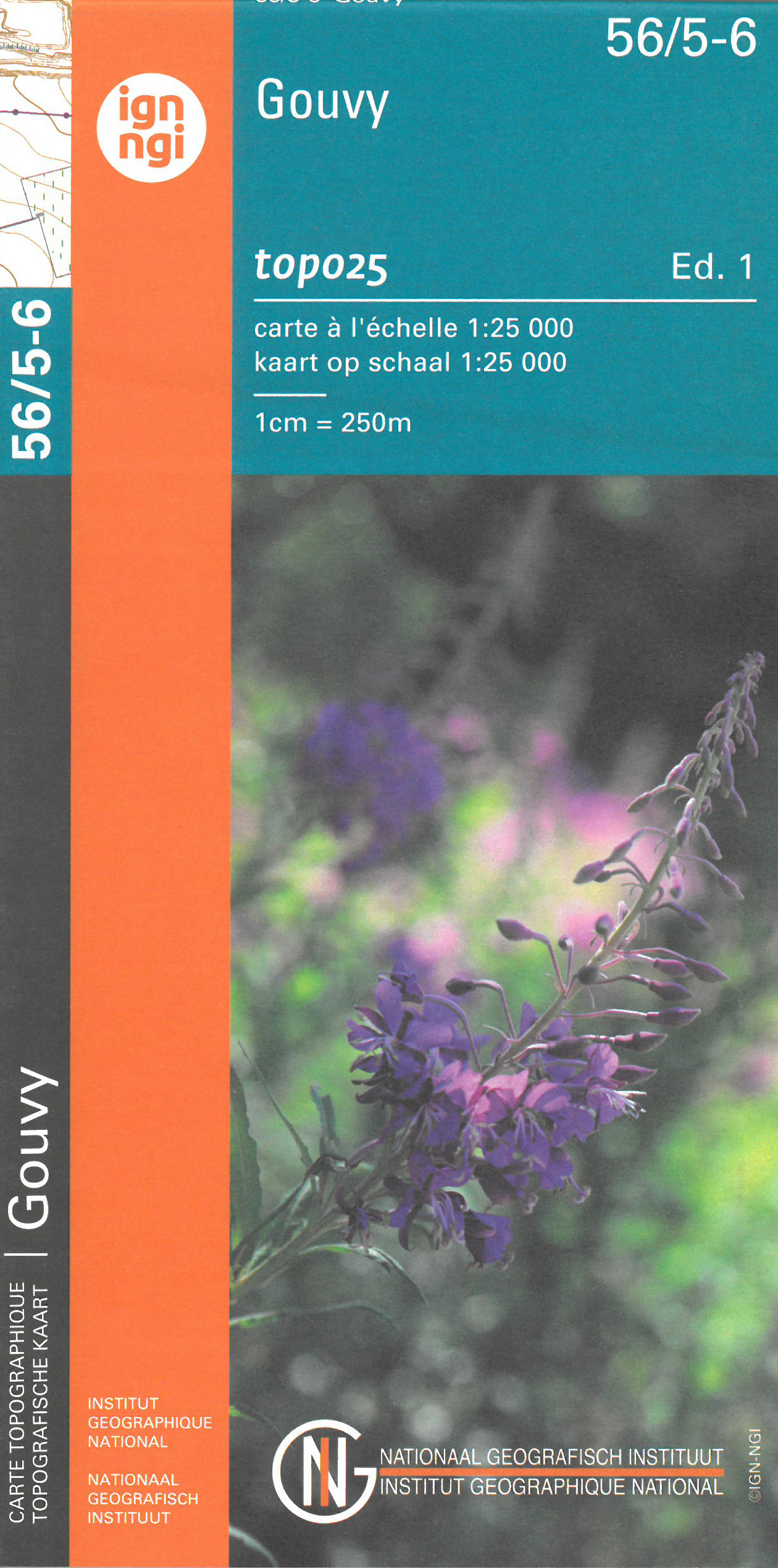
- Wandelkaart - Topografische kaart 56/5-6 Topo25 Gouvy | NGI - Nationaal Geografisch Instituut
- Zeer gedetailleerde topografische kaart van een deel van Belgie. Deze kaart is bijzonder geschikt voor wandeltochten in met name het heuvelachtige gebied van de Ardennen. Voorzien van alle topografische details als hoogtelijnen, waterlopen, bosgebieden, paden en brandgangen. Hoogtelijnen maken het mogelijk de moeilijkheidsgraad van een... Read more
Netherlands
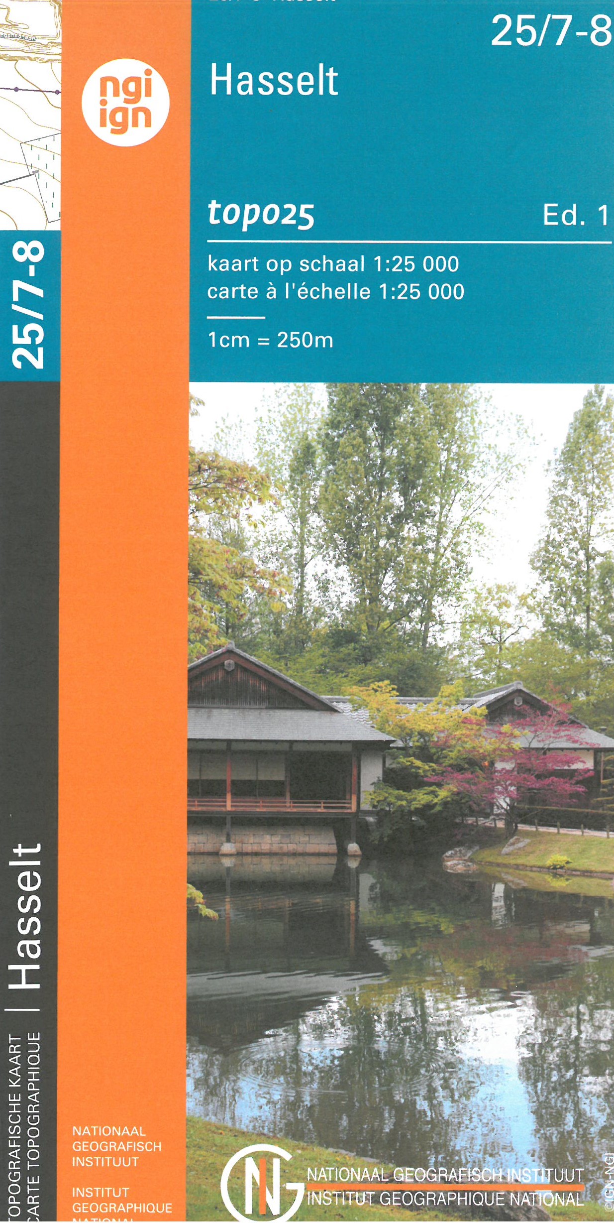
- Wandelkaart - Topografische kaart 25/7-8 Topo25 Hasselt | NGI - Nationaal Geografisch Instituut
- Topographical survey of Belgium at 1:20,000 from Nationaal Geografisch Instituut / Institut Géographique National, the country’s national survey organization. Each 20K map covers one quarter of the corresponding 1:50,000 map (with adjustments in the border and coastal areas). The maps provide all the information expected of topographic mapping... Read more
- Also available from:
- Stanfords, United Kingdom

United Kingdom
- Hasselt NGI Topo 25/7-8
- Topographical survey of Belgium at 1:20,000 from Nationaal Geografisch Instituut / Institut Géographique National, the country’s national survey organization. Each 20K map covers one quarter of the corresponding 1:50,000 map (with adjustments in the border and coastal areas). The maps provide all the information expected of topographic mapping... Read more
Netherlands
- Also available from:
- Stanfords, United Kingdom
United Kingdom
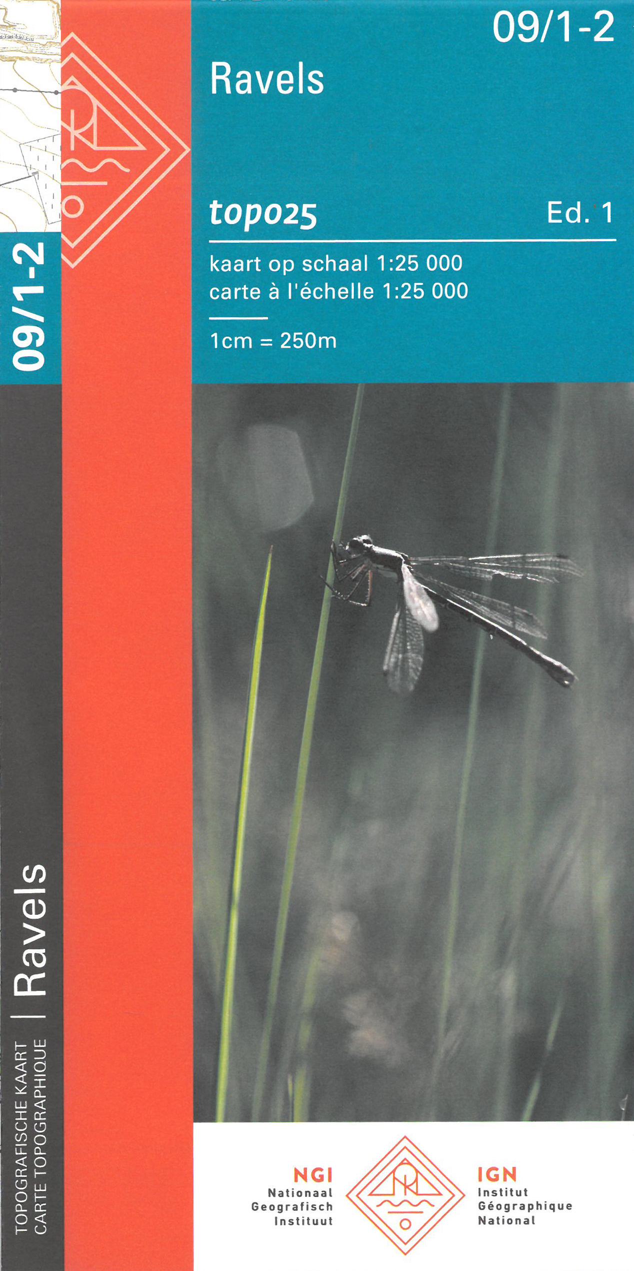
- Ravels NGI Topo 09/1-2
- Topographical survey of Belgium at 1:20,000 from Nationaal Geografisch Instituut / Institut Géographique National, the country’s national survey organization. Each 20K map covers one quarter of the corresponding 1:50,000 map (with adjustments in the border and coastal areas). The maps provide all the information expected of topographic mapping... Read more
Netherlands
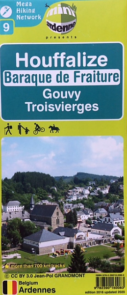
- Wandelkaart 09 Houffalize - Gouvy | Mini-Ardenne
- De wandelkaarten van Mini-Ardenne zijn volledig nieuw en op schaal 1/25000. De kaarten doen u belanden in een netwerk van honderden kilometers paden voor wandelaars, fietsers en ruiters. Door het gebruik van knooppunten (elk knooppunt is gelinkt aan een plaats), kunnen zowel de beginnende als de geoefende wandelaars de Ardennen en zijn... Read more
- Also available from:
- Stanfords, United Kingdom

United Kingdom
- Houffalize Mini-Ardenne
- Ardennes Recreational Maps at a scale of 1:25,000 enable you to discover the Ardennes from junction to junction, each associated with a locality, through a network of hiking, cycling or riding paths. The network of mini walks consists of suggested routes with kilometre distance marked showing field boundaries and urbanised built up areas.... Read more
Netherlands
- Also available from:
- Stanfords, United Kingdom
United Kingdom
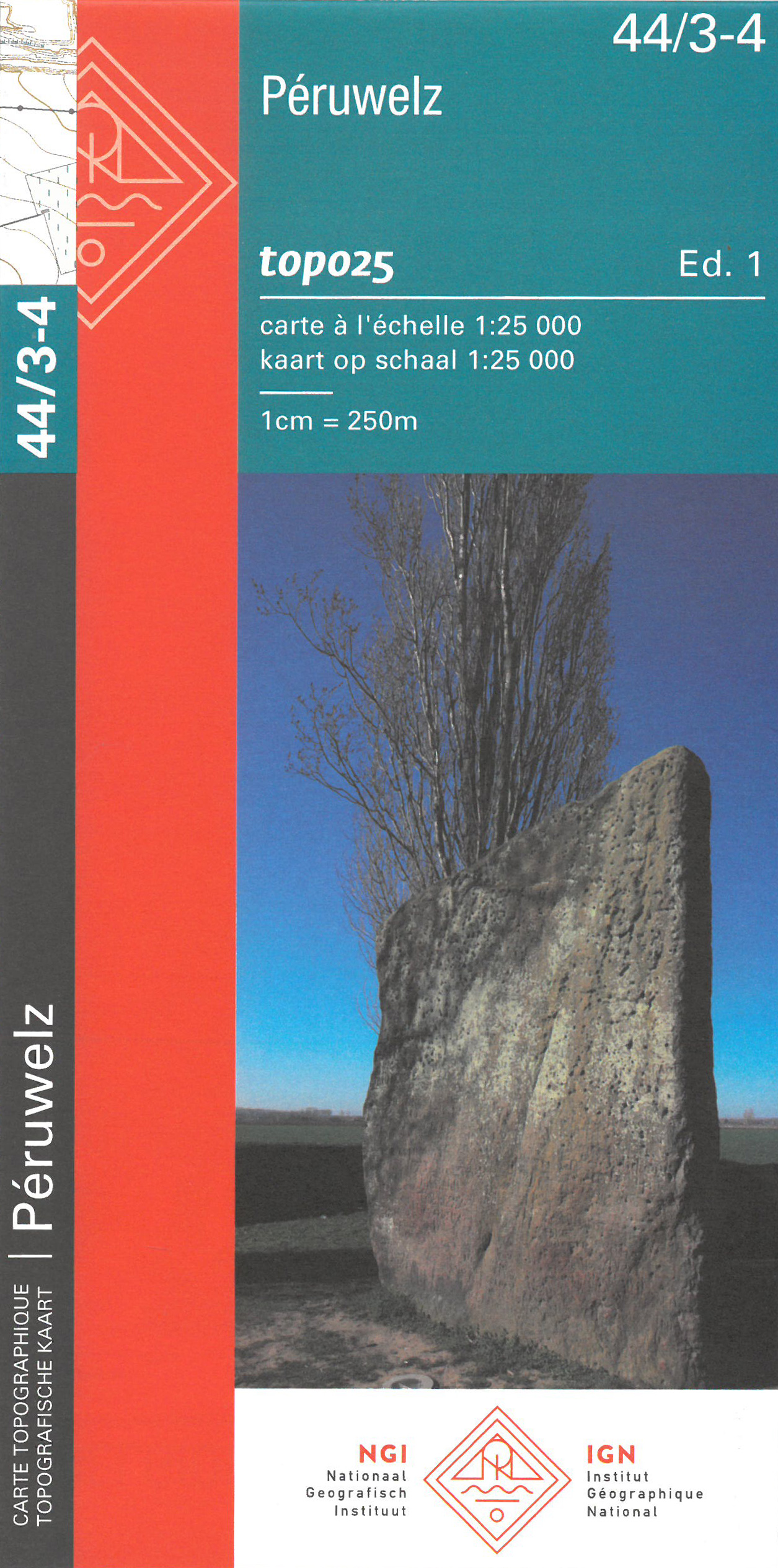
- Peruwelz NGI Topo 44/3-4
- Topographical survey of Belgium at 1:20,000 from Nationaal Geografisch Instituut / Institut Géographique National, the country’s national survey organization. Each 20K map covers one quarter of the corresponding 1:50,000 map (with adjustments in the border and coastal areas). The maps provide all the information expected of topographic mapping... Read more