
Luxembourg
Beschrijving
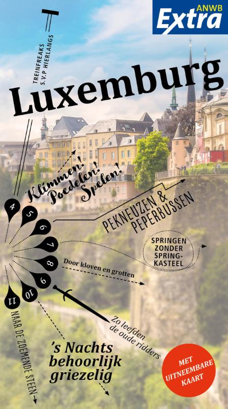
Province in southeastern Belgium (same name as the country Luxembourg, but different territory).
Kaart

Paden in deze landsdeel
Links
Feiten
Verslagen
Gidsen en kaarten
Overnachting
Organisaties
Reisorganisaties
GPS
Anders
Boeken
De Zwerver
Netherlands
2015
Netherlands
2015
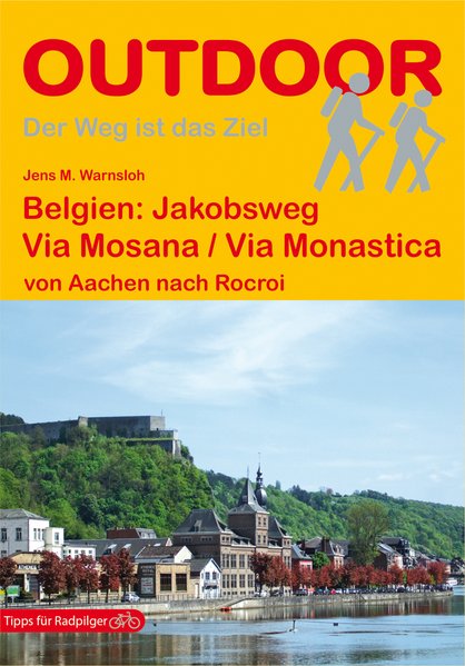
- Wandelgids - Pelgrimsroute 139 Belgien: Via Mosana / Via Monastica | Conrad Stein Verlag
- Handzaam boekje met de routebeschrijving inclusief een heleboel praktische informatie. De beschrijving is uitstekend, maar kaarten zijn beperkt en schetsmatig aanwezig. Duits. In diesem Buch wird mit der „Via Mosana“ einer der belgischen Jakobswege beschrieben. Der gut 300 km lange Weg führt vom Dom in Aachen über Lüttich bis nach Rocroi in... Read more
De Zwerver
Netherlands
2022
Netherlands
2022


De Zwerver
Netherlands
2021
Netherlands
2021
- Wandelgids 265 Vogesen - Durchquerung: GR53 GR5 | Rother Bergverlag
- In 37 etappes over de Lange Astands Wandelingen GR 53, GR 5 en GR 531 van Wissembourg naar Giromagny en Masevaux door de prachtige Vogezen. Goed alternatief voor de langverwachte maar nog steeds niet uitgekomen Crete des Vosges wandelgids van FFRP. Duitse samenvatting: Die Vogesen sind nicht nur eines der urwüchsigsten Mittelgebirge in unseren... Read more
De Zwerver
Netherlands
2022
Netherlands
2022
De Zwerver
Netherlands
2017
Netherlands
2017
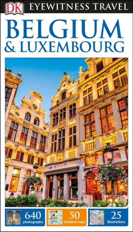
- Reisgids Eyewitness Travel Belgium and Luxembourg | Dorling Kindersley
- DK Eyewitness Travel Guide Belgium & Luxembourg ab 15.99 EURO DK Eyewitness Travel Guide. 2nd edition Read more
De Zwerver
Netherlands
2015
Netherlands
2015
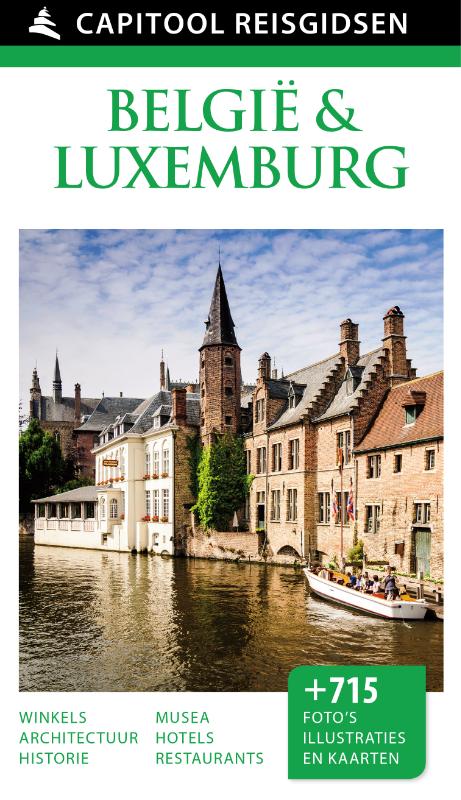
- Reisgids Capitool Reisgidsen België & Luxemburg | Unieboek
- Door de combinatie van visuele uitbundigheid in de vorm van driedimensionale tekeningen van bezienswaardigheden en heel veel kleurenfoto’s én praktische bruikbaarheid door middel van verhelderende kaarten en compacte teksten onderscheiden de Capitool reisgidsen zich van alle andere. Deze reisgids verschaft u alle bruikbare informatie om uw... Read more
De Zwerver
Netherlands
2023
Netherlands
2023
De Zwerver
Netherlands
2018
Netherlands
2018
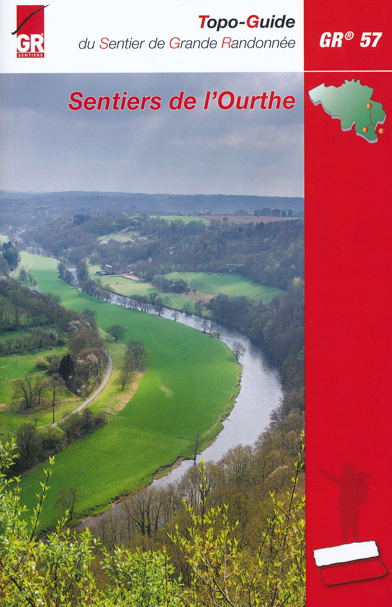
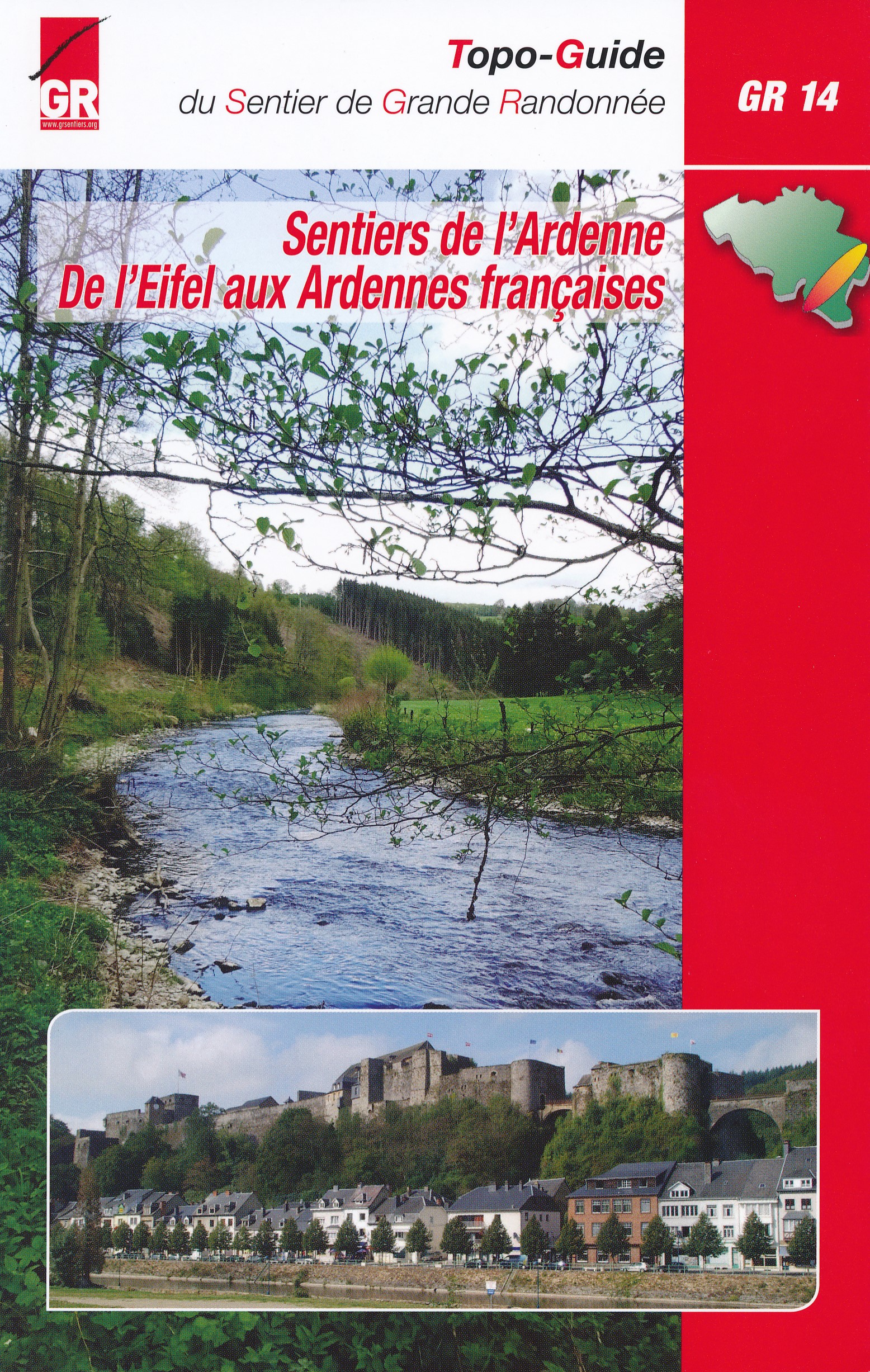
- Wandelgids GR14 Sentier de l'Ardenne | GR Sentiers
- GR 14 neemt je mee door uitgestrekte bossen; loopt langs betoverende rivieren zoals de Warche, Amblève; Liene, Ourthe, Lesse en de Semois en doet typische dorpjes en charmante kleine steden aan zoals Stavelot, Trois-Ponts, Lierneux, La Roche, Saint-Hubert enBouillon. De route is een onuitputtelijke bron van ontdekkingen voor de wandelaar die... Read more

De Zwerver
Netherlands
2021
Netherlands
2021

De Zwerver
Netherlands
2021
Netherlands
2021
De Zwerver
Netherlands
2023
Netherlands
2023

De Zwerver
Netherlands
2021
Netherlands
2021
Kaarten
De Zwerver
Netherlands
Netherlands
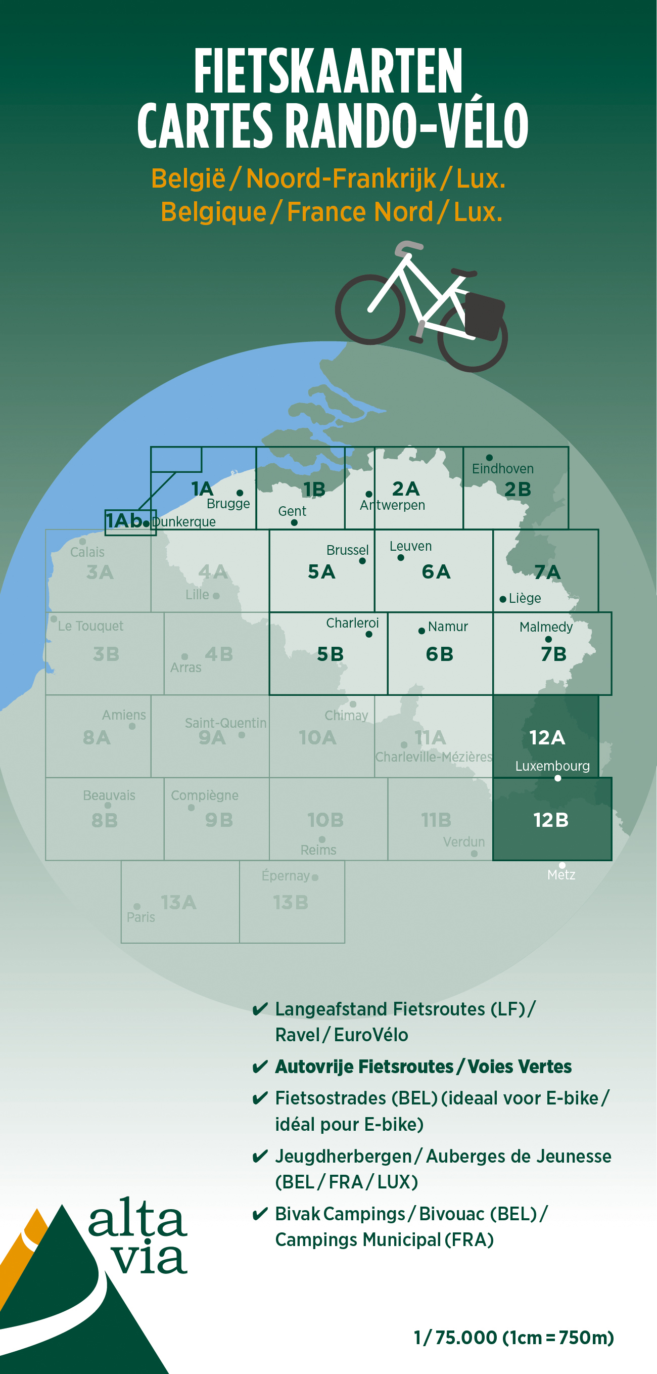
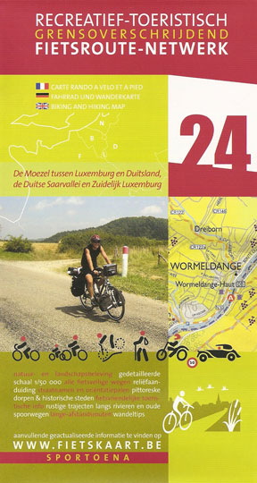
- Fietskaart 12 Luxemburg & Moezel | Alta Via
- Alta Via`s topographical cycling maps emphasize car-free cycling routes or the so-called Voies Vertes (Green Routes), a cycling network that runs through Belgium and Luxembourg. All LF and Ravel cycle routes are included, supplemented with old railways and towpaths that have been transformed into bike paths. The map also lists all youth... Read more


De Zwerver
Netherlands
2024
Netherlands
2024
De Zwerver
Netherlands
2023
Netherlands
2023
De Zwerver
Netherlands
2018
Netherlands
2018

De Zwerver
Netherlands
Netherlands
- Wandelkaart Strandzha - Bulgarije | Domino
- Strandzha Mountains in the south-eastern corner of Bulgaria between Burgas to the Turkish border on a contoured and GPS compatible map from Domino showing local hiking trails and highlighting various interesting sites, with three more detailed enlargements at 1:25,000. Most place names are in both Latin and Cyrillic alphabet; map legend... Read more
- Also available from:
- Stanfords, United Kingdom

Stanfords
United Kingdom
United Kingdom
- Strandzha Mountains: Burgas to the Turkish Border Domino Map
- Strandzha Mountains in the south-eastern corner of Bulgaria between Burgas to the Turkish border on a contoured and GPS compatible map from Domino showing local hiking trails and highlighting various interesting sites, with three more detailed enlargements at 1:25,000. Most place names are in both Latin and Cyrillic alphabet; map legend... Read more

De Zwerver
Netherlands
Netherlands
- Wandelkaart 5 Rila gebergte | Domino
- Rila Mountains at 1:50,000 on a large, double-sided, contoured map with GPS waypoints for shelters and chalets, peaks, etc. and highlighting hiking routes. Topography is shown by contours at 50m intervals with additional relief shading and graphics and colouring for scree, single rocks over 5m high, marshlands and pine scrub and forests. An... Read more
- Also available from:
- Stanfords, United Kingdom

Stanfords
United Kingdom
United Kingdom
- Rila Mountains Domino
- Rila Mountains at 1:50,000 on a large, double-sided, contoured map with GPS waypoints for shelters and chalets, peaks, etc. and highlighting hiking routes. Topography is shown by contours at 50m intervals with additional relief shading and graphics and colouring for scree, single rocks over 5m high, marshlands and pine scrub and forests. An... Read more