GR16 - Sentier de la Semois
Beschrijving
- Name GR16 - Sentier de la Semois (GR16)
- Lengte van pad 205 km, 127 mijl
- Lengte in dagen 10 dagen
- Start van pad Arlon (B)
- Einde van pad Montherme (F)
- Traildino graad EW, Makkelijke wandeling, natuurpad


16

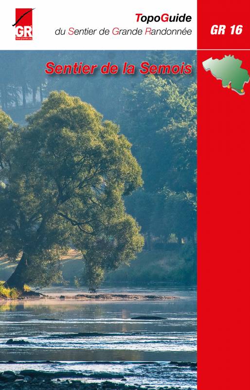
GR16, Sentier de la Semois, Arlon - Montherme, 205 km
The Semois or Semoy is a river meandering its way through the Ardennes, in the south of Belgium, near the French border. Its source is somewhere near Luxembourg. It's mouth in the river Meuse, in France. The trail follows the river through an attractive landscape, starting with light rolling fields to the higher hills and forests of the Ardennes. In France the trail connects to the GR12.
Kaart

Links
Feiten
Verslagen
Gidsen en kaarten
Overnachting
Organisaties
Reisorganisaties
GPS
Anders
Boeken
Meer boeken…