
Jylland
Beschrijving
Jylland or Jutland is the Danish "mainland", the head that rises up from Germany.
Kaart


Paden in deze regio
- Aarhus-SilkeborgGPX
- DrivvejenGPX
- E1GPX
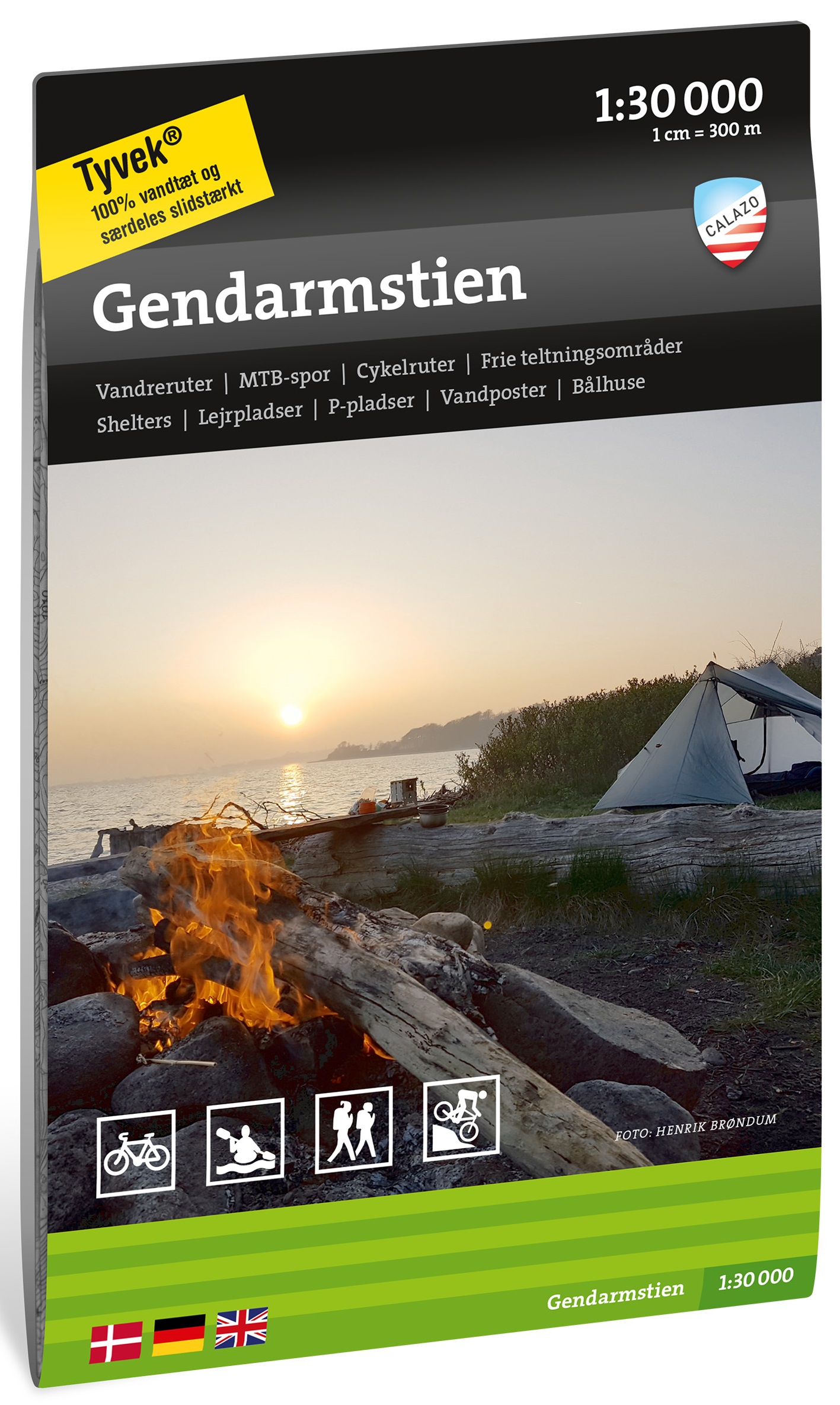
- GendarmstienGPX
- GjerrildbanestienGPX
- Hærvejen - OchsenwegGPX
- HimmerlandsstienGPX
- Hirtshals Circular Trails
- KlosterrutenGPX
- Kyst til Kyst StienGPX
- Lodsstien
- MolsrutenGPX
- Naturstien Horsens-Silkeborg GPX
- Naturstien Nibe-HvalpsundGPX
- NordsøstienGPX
- North Sea TrailGPX
- Trækstien Randers-Silkeborg
- VestkyststienGPX
Links
Feiten
Verslagen
Gidsen en kaarten
Overnachting
Organisaties
Reisorganisaties
GPS
Anders
Boeken

De Zwerver
Netherlands
2022
Netherlands
2022


De Zwerver
Netherlands
2017
Netherlands
2017
- Wandelgids 411 Kautokeino - Nordkap E1 | Conrad Stein Verlag
- Handzaam boekje met de routebeschrijving inclusief een heleboel praktische informatie. De beschrijving is uitstekend, maar kaarten zijn wat beperkt. Duits. Die 330 km lange Wanderung auf dem E1 von Kautokeino zum Nordkap ist ein unvergessliches Wanderabenteuer. In 15 Etappen laufen Sie durch die Wildnis Nordnorwegens und überqueren die... Read more
Bol.com
Netherlands
Netherlands
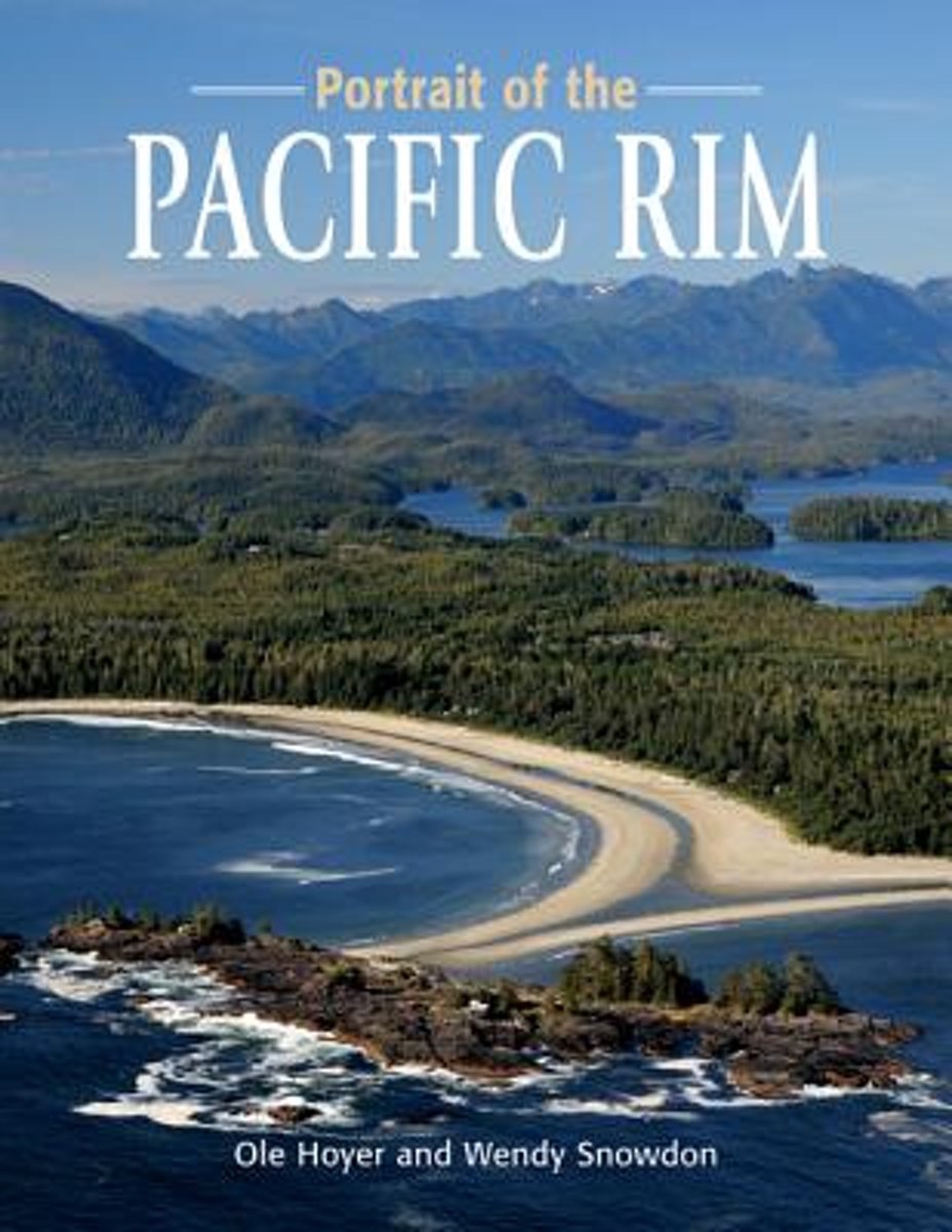
- Portrait of the Pacific Rim
- Portrait of the Pacific Rim is a photographic tour of the awe-inspiring sights and activities on the far edge of Canada. The wild, raw beauty of the Pacific Rim is captured in dozens of colour photographs, as accomplished photographers Ole Hoyer and Wendy Snowdon share some of the gorgeous sights the west coast offers.Pacific Rim National Park... Read more
- Also available from:
- Bol.com, Belgium
Bol.com
Belgium
Belgium
- Portrait of the Pacific Rim
- Portrait of the Pacific Rim is a photographic tour of the awe-inspiring sights and activities on the far edge of Canada. The wild, raw beauty of the Pacific Rim is captured in dozens of colour photographs, as accomplished photographers Ole Hoyer and Wendy Snowdon share some of the gorgeous sights the west coast offers.Pacific Rim National Park... Read more

Bol.com
Netherlands
Netherlands
- Hiking on the Edge
- The untamed splendor of the magnificent West Coast Trail. Read more
- Also available from:
- Bol.com, Belgium
Bol.com
Netherlands
2012
Netherlands
2012
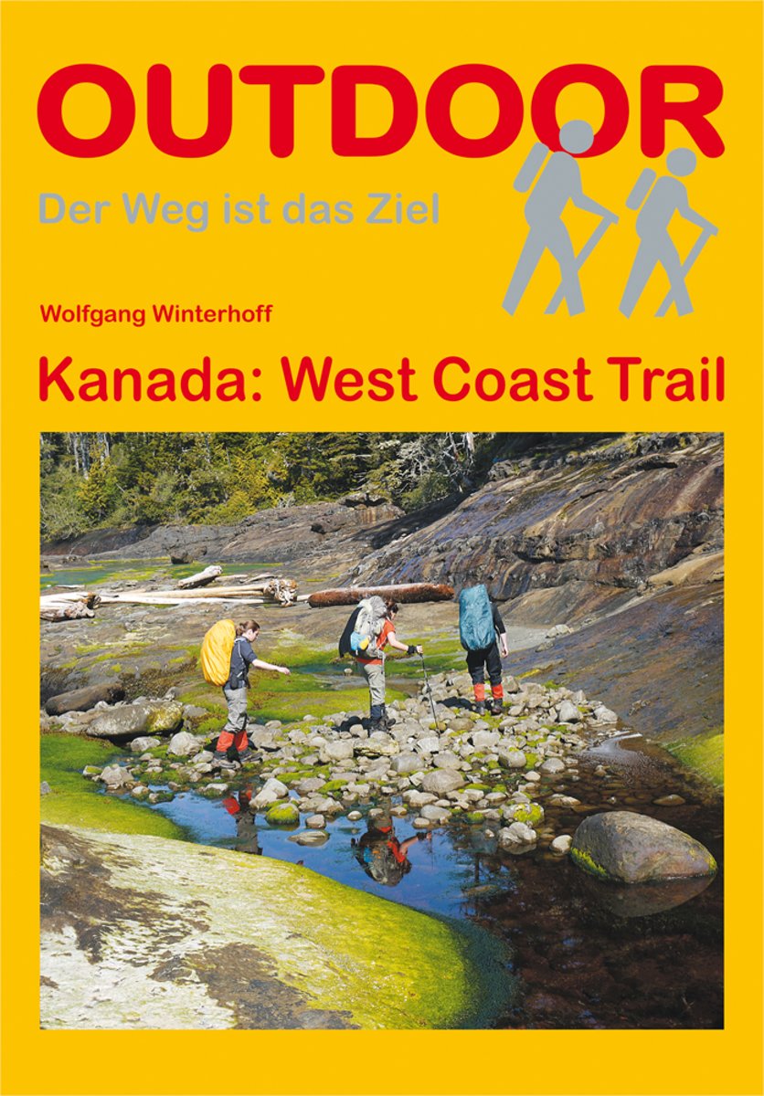
- Kanada: West Coast Trail
- Über 75 km verläuft der West Coast Trail auf Vancouver Island entlang einer einzigartigen, spektakulären Küste. Unter Trekkingfreunden ist der Trail berühmt-berüchtigt: Häufige Regenfälle, verschlammte Wege, steile Leitersysteme und dichter Urwald stellen Wanderer vor große psychische und physische Anforderungen. Dieses Buch informiert über... Read more
- Also available from:
- Bol.com, Belgium
Bol.com
Belgium
2012
Belgium
2012
- Kanada: West Coast Trail
- Über 75 km verläuft der West Coast Trail auf Vancouver Island entlang einer einzigartigen, spektakulären Küste. Unter Trekkingfreunden ist der Trail berühmt-berüchtigt: Häufige Regenfälle, verschlammte Wege, steile Leitersysteme und dichter Urwald stellen Wanderer vor große psychische und physische Anforderungen. Dieses Buch informiert über... Read more
Bol.com
Netherlands
Netherlands
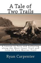
- A Tale of Two Trails
- It was the best of trails and the worst of trails. Each year, thousands of hikers from around the world make a pilgrimage to the West Coast Trail: a rough and tumble trail along the coast of Vancouver Island lurking with dangers and difficulties, home to hundreds of shipwrecks and rated as one of the most scenic trails in all of North... Read more
- Also available from:
- Bol.com, Belgium
Bol.com
Belgium
Belgium
- A Tale of Two Trails
- It was the best of trails and the worst of trails. Each year, thousands of hikers from around the world make a pilgrimage to the West Coast Trail: a rough and tumble trail along the coast of Vancouver Island lurking with dangers and difficulties, home to hundreds of shipwrecks and rated as one of the most scenic trails in all of North... Read more
Bol.com
Netherlands
Netherlands
- The West Coast Trail
- This life changing backpacking trip, on the West Coast Trail, begins with a wistful remark in a coffee shop and ends with a book full of belly laughs. The author takes us on the real life journey that challenges every part of himself and then sprinkles his book with enough insight and information to make the reader feel like they are on the... Read more
- Also available from:
- Bol.com, Belgium
Bol.com
Belgium
Belgium
- The West Coast Trail
- This life changing backpacking trip, on the West Coast Trail, begins with a wistful remark in a coffee shop and ends with a book full of belly laughs. The author takes us on the real life journey that challenges every part of himself and then sprinkles his book with enough insight and information to make the reader feel like they are on the... Read more
Bol.com
Netherlands
Netherlands
- Wad- en WierdenpadL LAW 5 Lauwersoog - Nieuweschans
- Wandelen in het zeekleigebied van Noord-Groningen. Deze wandeling biedt een kennismaking met de vele karakteristieke landschapselementen die herinneren aan de omgang met het water, o.a. dijken, restanten van oude zeegeulen, wierden en sluizen. Het Noord-Groningse landschap is voor wie niet uit deze omgeving komt verrassend. Vergezichten in het... Read more
- Also available from:
- Bol.com, Belgium
Bol.com
Belgium
Belgium
- Wad- en WierdenpadL LAW 5 Lauwersoog - Nieuweschans
- Wandelen in het zeekleigebied van Noord-Groningen. Deze wandeling biedt een kennismaking met de vele karakteristieke landschapselementen die herinneren aan de omgang met het water, o.a. dijken, restanten van oude zeegeulen, wierden en sluizen. Het Noord-Groningse landschap is voor wie niet uit deze omgeving komt verrassend. Vergezichten in het... Read more
Kaarten
De Zwerver
Netherlands
2019
Netherlands
2019

De Zwerver
Netherlands
2023
Netherlands
2023

De Zwerver
Netherlands
2021
Netherlands
2021

De Zwerver
Netherlands
Netherlands
- Wandelkaart 2.4 Nafpaktos - Panaitoliko - Karpenisi | Anavasi
- Prespa - Vitsi – Voras area of northern Greece at 1:50,000 on a light, waterproof and tear-resistant, GPS compatible, contoured map from Anavasi, with recommendations for three hiking trails and notes on the E4 and E6 cross-European trails. The map is double-sided; coverage in the west starts from the Prespa Lake on the border with Albania and... Read more
De Zwerver
Netherlands
2022
Netherlands
2022
De Zwerver
Netherlands
2023
Netherlands
2023
De Zwerver
Netherlands
2023
Netherlands
2023
Bol.com
Netherlands
Netherlands
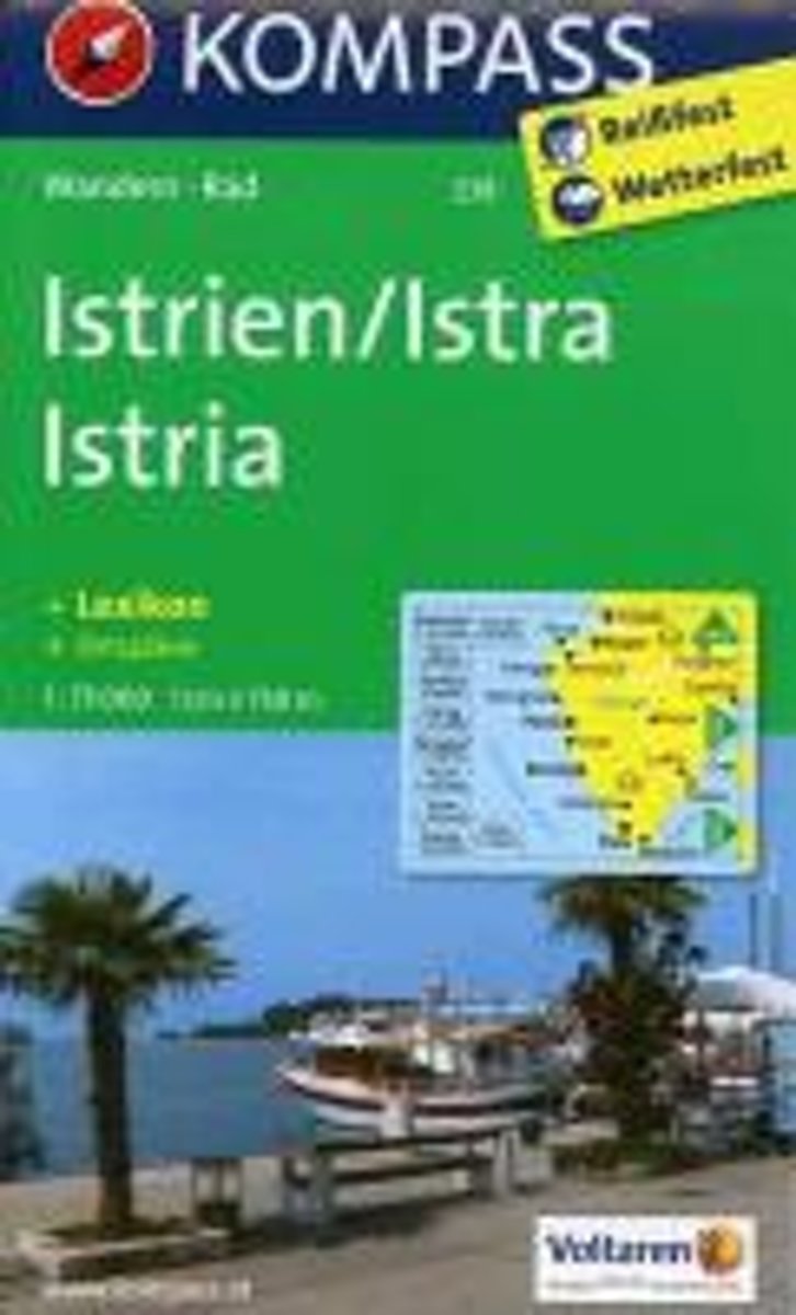
- Istrië WK238
- Toeristische kaart voor wandelen, fietsen en vrije tijd met activiteitengids en stadsplattegronden • goed leesbare schaal van 1:75 000 • te gebruiken met GPS • met praktische informatie over de regio • wandel- en fietspaden • aanbevolen routes • kastelen • uitzichtpunten • stranden en baaien • toeristische informatie • veel topografische... Read more
- Also available from:
- Bol.com, Belgium
Bol.com
Belgium
Belgium
- Istrië WK238
- Toeristische kaart voor wandelen, fietsen en vrije tijd met activiteitengids en stadsplattegronden • goed leesbare schaal van 1:75 000 • te gebruiken met GPS • met praktische informatie over de regio • wandel- en fietspaden • aanbevolen routes • kastelen • uitzichtpunten • stranden en baaien • toeristische informatie • veel topografische... Read more

Stanfords
United Kingdom
United Kingdom
- Alpe della Luna 17
- Map No. 16, Monte Carpegna - Sasso di Simone, in series of contoured, GPS compatible hiking maps at 1:25,000 from the Istituto Geografico Adriatico, covering mainly the spine of the Apennines along the borders of Tuscany, Emilia-Romagna, Umbria and the Marches.Map in this series have contours at 25m intervals with additional shading and... Read more