
Kerry
Beschrijving

County Kerry is one of the most popular tourist destinations. The mountains, lakes and shoreline are great for walking.
Paden in deze landsdeel
Links
Feiten
Verslagen
Gidsen en kaarten
Overnachting
Organisaties
Reisorganisaties
GPS
Anders
Boeken
De Zwerver
Netherlands
2020
Netherlands
2020
Bol.com
Netherlands
Netherlands
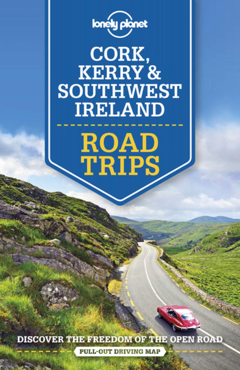
- Lonely Planet Spain
- Lonely Planet: The world's leading travel guide publisherLonely Planet Spainis your passport to the most relevant, up-to-date advice on what to see and skip, and what hidden discoveries await you. Marvel at the exquisite perfection of the Alhambra, hike the Pyrenean high country and laze on the Mediterranean's best beaches; all with your... Read more
- Also available from:
- Bol.com, Belgium
Bol.com
Belgium
Belgium
- Lonely Planet Spain
- Lonely Planet: The world's leading travel guide publisherLonely Planet Spainis your passport to the most relevant, up-to-date advice on what to see and skip, and what hidden discoveries await you. Marvel at the exquisite perfection of the Alhambra, hike the Pyrenean high country and laze on the Mediterranean's best beaches; all with your... Read more

Bol.com
Netherlands
Netherlands
- Fodor's Essential Ireland
- Written by locals, Fodor's travel guides have been offering expert advice for all tastes and budgets for 80 years. With an array of dazzling photographs, this book deftly guides the traveler through all the sights and experiences--from Connemara to Georgian Dublin to pub culture to Irish dance--that make the Emerald Isle one of Europe's most... Read more
- Also available from:
- Bol.com, Belgium
Bol.com
Belgium
Belgium
- Fodor's Essential Ireland
- Written by locals, Fodor's travel guides have been offering expert advice for all tastes and budgets for 80 years. With an array of dazzling photographs, this book deftly guides the traveler through all the sights and experiences--from Connemara to Georgian Dublin to pub culture to Irish dance--that make the Emerald Isle one of Europe's most... Read more
Bol.com
Netherlands
2010
Netherlands
2010
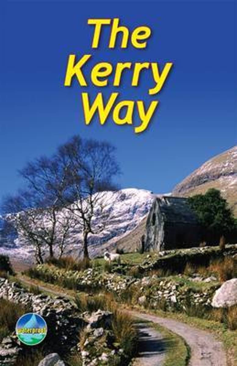
- The Kerry Way
- The Kerry Way runs around Ireland's most beautiful peninsula for 126 miles (203 km), starting from Killarney. It features mountain scenery and coastal panoramas, and is rich in geology and wildlife. The book contains clear mapping, 70 photographs and is robust and waterproof. It has a special feature on the ascent of Carrauntoohil, Ireland's... Read more
- Also available from:
- Bol.com, Belgium
Bol.com
Belgium
2010
Belgium
2010
- The Kerry Way
- The Kerry Way runs around Ireland's most beautiful peninsula for 126 miles (203 km), starting from Killarney. It features mountain scenery and coastal panoramas, and is rich in geology and wildlife. The book contains clear mapping, 70 photographs and is robust and waterproof. It has a special feature on the ascent of Carrauntoohil, Ireland's... Read more
Bol.com
Netherlands
Netherlands
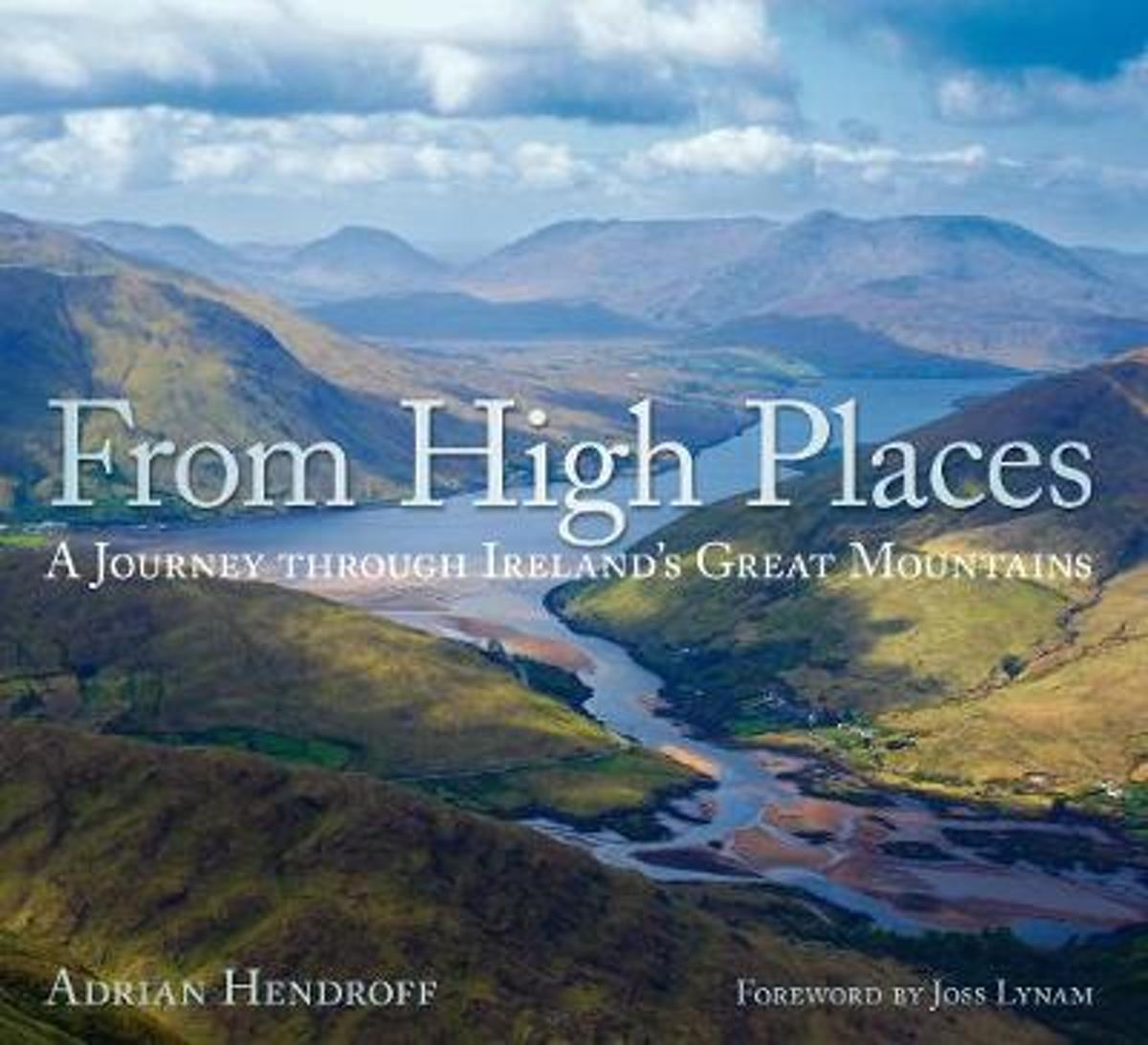
- From High Places
- The mountains of Ireland are wild and untrodden. There is a powerful and magnetic quality to Ireland's high places, a mix of mountains and sea that creates an indelible impression and inexorably draws one back. From High Places is a celebration of Ireland's great mountains. A collection of stunning images taken from the peaks of these... Read more
- Also available from:
- Bol.com, Belgium
Bol.com
Belgium
Belgium
- From High Places
- The mountains of Ireland are wild and untrodden. There is a powerful and magnetic quality to Ireland's high places, a mix of mountains and sea that creates an indelible impression and inexorably draws one back. From High Places is a celebration of Ireland's great mountains. A collection of stunning images taken from the peaks of these... Read more
Bol.com
Netherlands
Netherlands
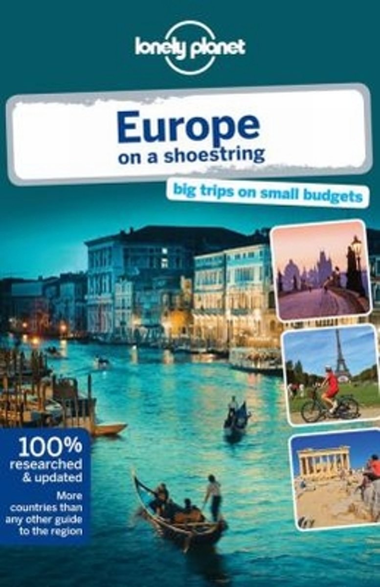
- Lonely Planet Europe on a Shoestring
- Lonely Planet: The world's leading travel guide publisher Lonely Planet Europe on a shoestring is your passport to the most relevant, up-to-date advice on what to see and skip, what hidden discoveries await you, and how to optimise your budget. Tour French chateaux, take boat trips to Greek beaches, hike past Bulgarian monasteries and glug... Read more
- Also available from:
- Bol.com, Belgium
Bol.com
Belgium
Belgium
- Lonely Planet Europe on a Shoestring
- Lonely Planet: The world's leading travel guide publisher Lonely Planet Europe on a shoestring is your passport to the most relevant, up-to-date advice on what to see and skip, what hidden discoveries await you, and how to optimise your budget. Tour French chateaux, take boat trips to Greek beaches, hike past Bulgarian monasteries and glug... Read more
- Also available from:
- Bol.com, Netherlands
- Bol.com, Belgium
- The Book Depository, United Kingdom

Bol.com
Netherlands
2015
Netherlands
2015
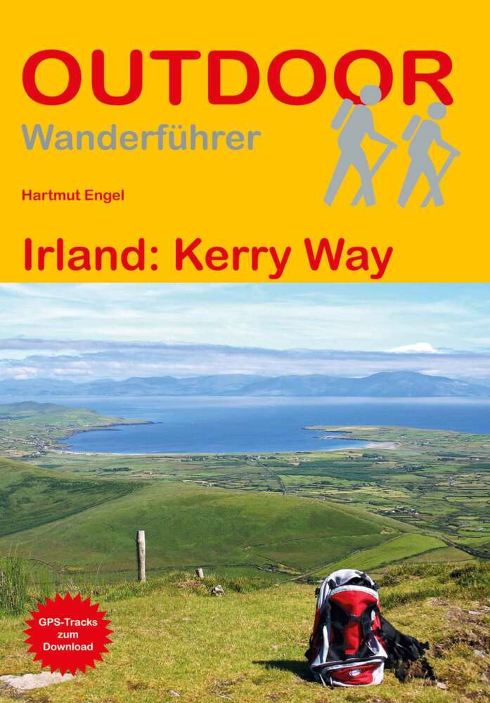
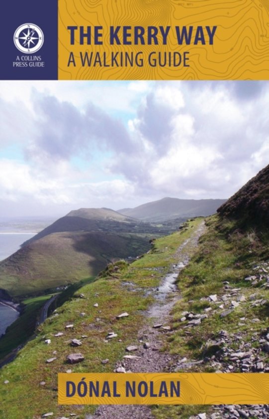
- The Kerry Way
- The Kerry Way is Ireland's longest waymarked trail and one of the most popular. Looping around the Iveragh Peninsula, it follows narrow country roads, forest paths, abandoned coach roads and mass paths, national park land and farmland. This clear and lively guide gives the prospective wayfarer enough information to plan and enjoy every step. It... Read more
Bol.com
Belgium
2015
Belgium
2015
- The Kerry Way
- The Kerry Way is Ireland's longest waymarked trail and one of the most popular. Looping around the Iveragh Peninsula, it follows narrow country roads, forest paths, abandoned coach roads and mass paths, national park land and farmland. This clear and lively guide gives the prospective wayfarer enough information to plan and enjoy every step. It... Read more

Bol.com
Netherlands
Netherlands
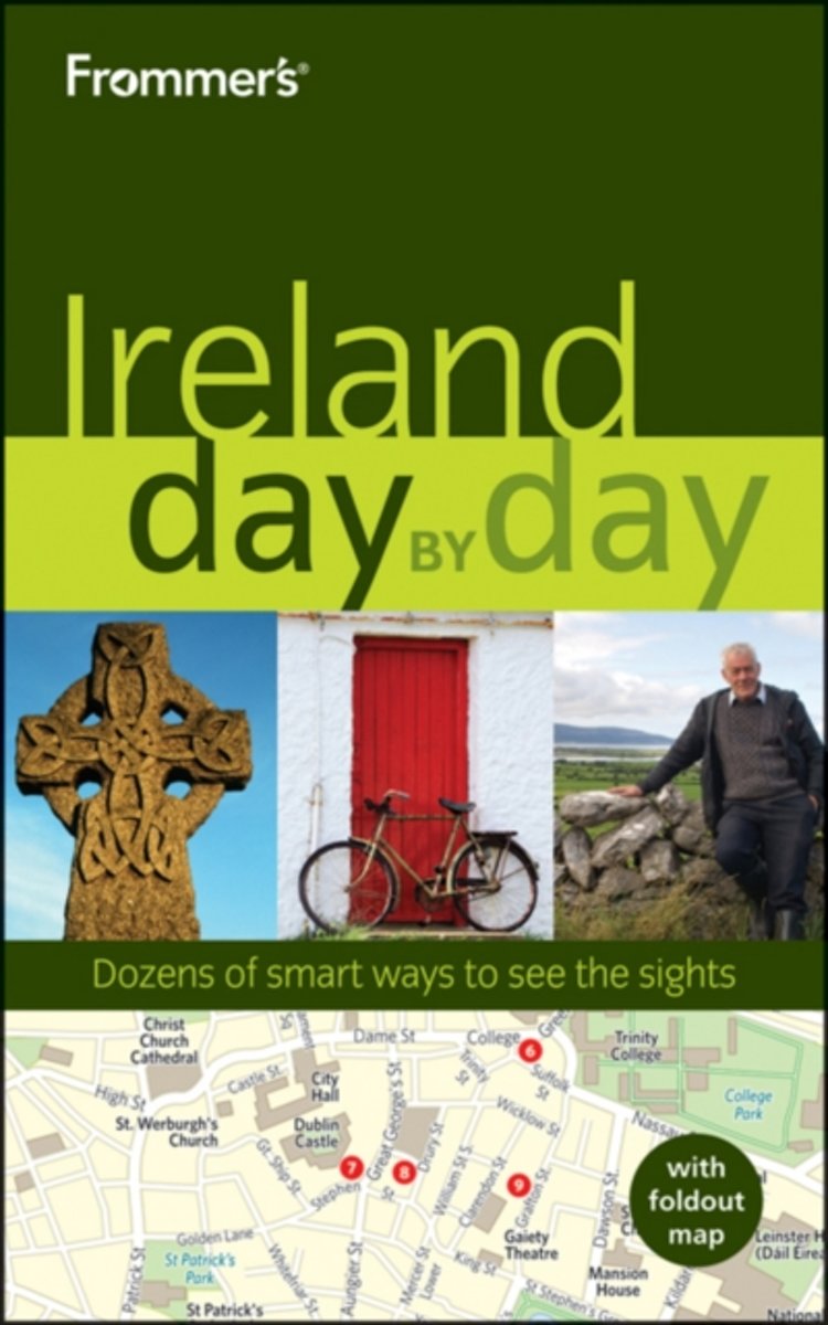
- Frommer's Ireland Day by Day
- Ireland is one of the most ancient and modern countries in Europe. Our London-based writers of Irish ancestry lead you to the best of the old and new on their beloved Emerald Isle. Under their guidance, you'll experience the cosmopolitan luxuries of Ireland's cities, learn the secrets of its ancient ruins, and figure out the smartest ways to... Read more
- Also available from:
- Bol.com, Belgium
Bol.com
Belgium
Belgium
- Frommer's Ireland Day by Day
- Ireland is one of the most ancient and modern countries in Europe. Our London-based writers of Irish ancestry lead you to the best of the old and new on their beloved Emerald Isle. Under their guidance, you'll experience the cosmopolitan luxuries of Ireland's cities, learn the secrets of its ancient ruins, and figure out the smartest ways to... Read more

Bol.com
Netherlands
Netherlands
- Fast Breaks, Finger Rolls, and Fisticuffs
- In 1979, Providence athletic director Dave Gavitt gifted the college basketball world a conference like no other. Much has been said about the unique brand of hoops played during the Big East's golden era, when football shared the entertainment throne and its specter had yet to hover over every other sport in America. However, very little of... Read more
- Also available from:
- Bol.com, Belgium
Bol.com
Belgium
Belgium
- Fast Breaks, Finger Rolls, and Fisticuffs
- In 1979, Providence athletic director Dave Gavitt gifted the college basketball world a conference like no other. Much has been said about the unique brand of hoops played during the Big East's golden era, when football shared the entertainment throne and its specter had yet to hover over every other sport in America. However, very little of... Read more
Bol.com
Netherlands
2011
Netherlands
2011
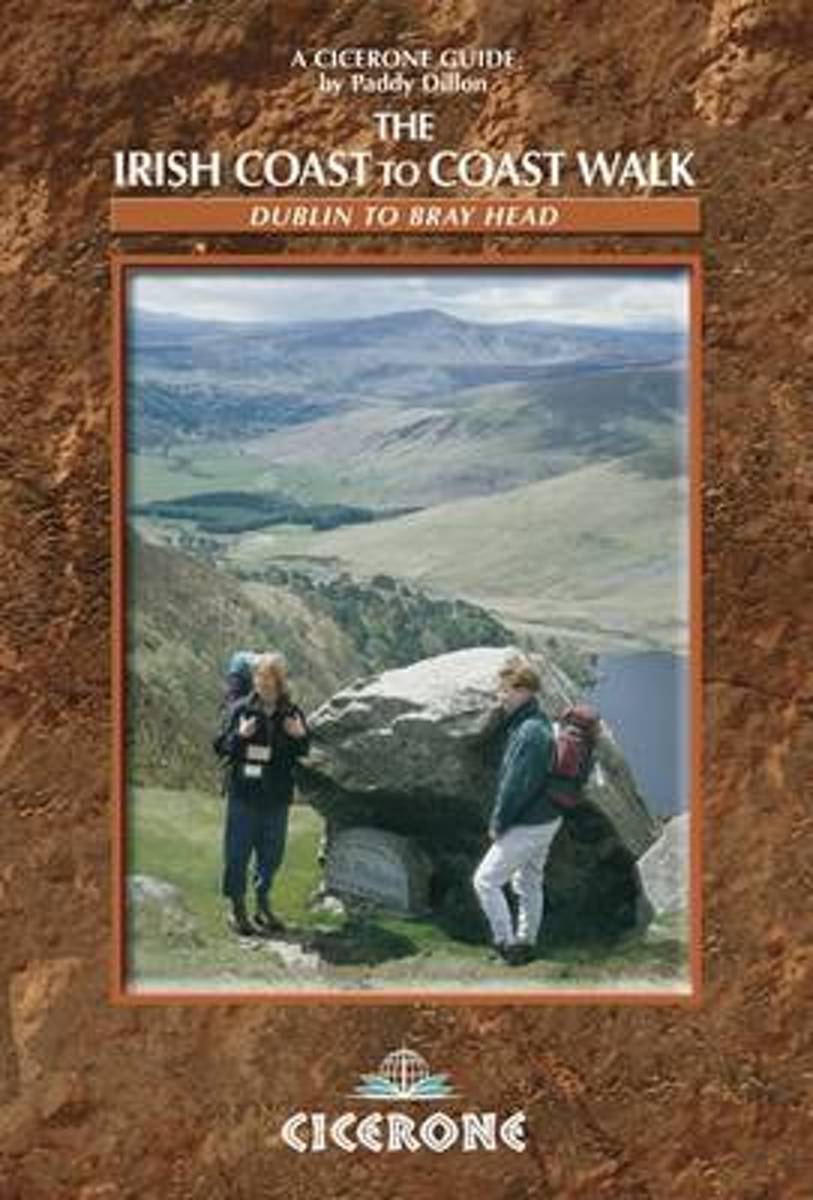
- The Irish Coast To Coast Walk
- The Coast to Coast route through Ireland, from Dublin to the Atlantic coast, passes through glorious mountain and river country, and offers an opportunity to discover the heart of the Emerald Isle. The walk links several waymarked routes - the Wicklow Way, South Leinster Way, East Munster Way, Blackwater Way and the Kerry Way. Whether you... Read more
- Also available from:
- Bol.com, Belgium
Bol.com
Belgium
2011
Belgium
2011
- The Irish Coast To Coast Walk
- The Coast to Coast route through Ireland, from Dublin to the Atlantic coast, passes through glorious mountain and river country, and offers an opportunity to discover the heart of the Emerald Isle. The walk links several waymarked routes - the Wicklow Way, South Leinster Way, East Munster Way, Blackwater Way and the Kerry Way. Whether you... Read more
Bol.com
Netherlands
Netherlands
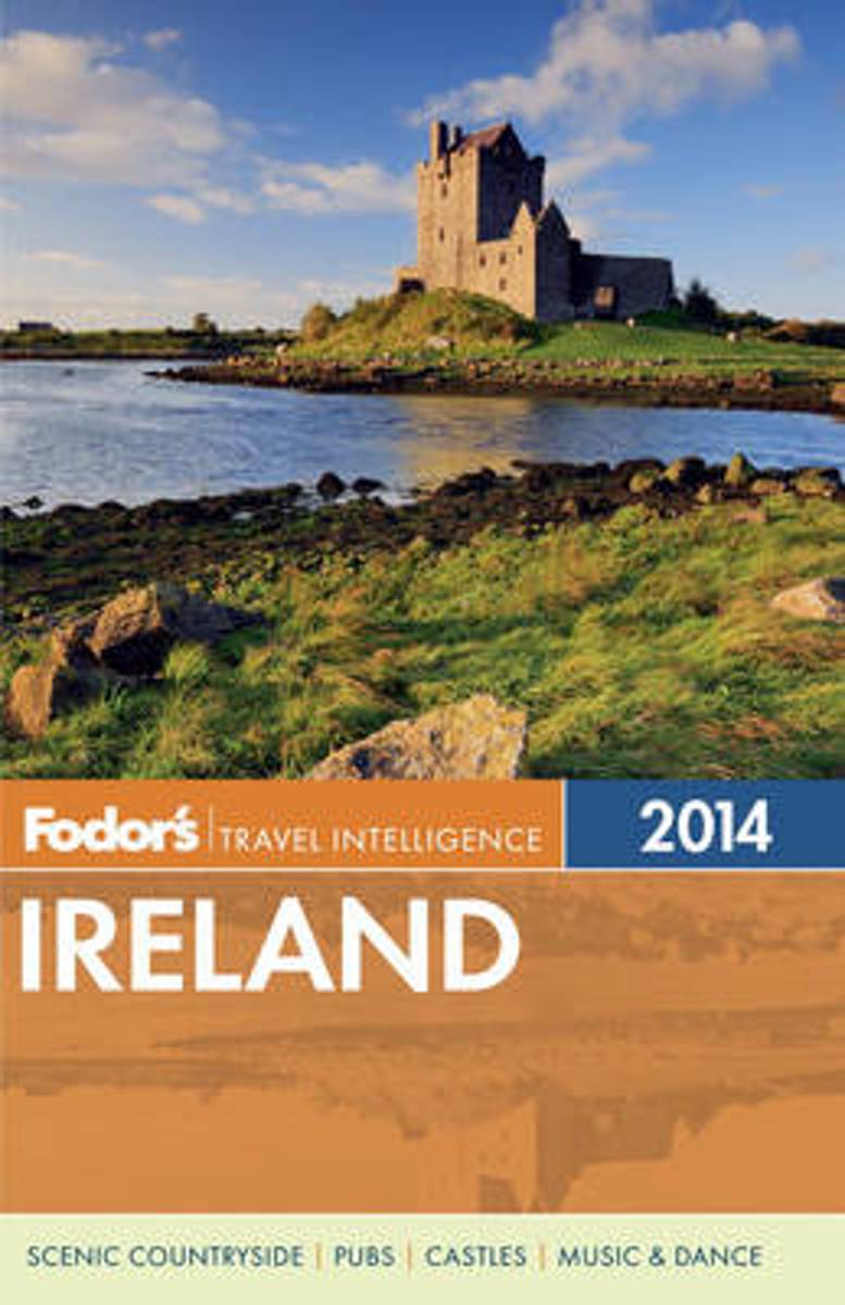
- Fodor's Ireland 2014
- With an array of dazzling photographs, this book deftly guides the traveler through all the sights and experiences from Belfast s Titanic Quarter to the Ring of Kerry to pub culture and Irish dance that make the Emerald Isle one of Europe's most popular destinations. Expanded Coverage: This edition features additional information on the country... Read more
- Also available from:
- Bol.com, Belgium
Bol.com
Belgium
Belgium
- Fodor's Ireland 2014
- With an array of dazzling photographs, this book deftly guides the traveler through all the sights and experiences from Belfast s Titanic Quarter to the Ring of Kerry to pub culture and Irish dance that make the Emerald Isle one of Europe's most popular destinations. Expanded Coverage: This edition features additional information on the country... Read more
Bol.com
Netherlands
Netherlands
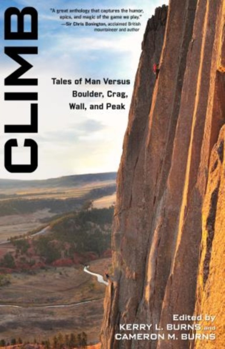
- Climb
- A cliffhanging collection of some of the world sgreatest climbing adventuresFrom straightforward narratives of ascents to meticulous self-examination to spiritual reveries, climbing prompts men and women to pour forth essays, articles, and books that are unlike any other field of literature. In Climb, editors Kerry L. Burns and Cameron M. Burns... Read more
- Also available from:
- Bol.com, Belgium
Bol.com
Belgium
Belgium
- Climb
- A cliffhanging collection of some of the world sgreatest climbing adventuresFrom straightforward narratives of ascents to meticulous self-examination to spiritual reveries, climbing prompts men and women to pour forth essays, articles, and books that are unlike any other field of literature. In Climb, editors Kerry L. Burns and Cameron M. Burns... Read more
Bol.com
Netherlands
2009
Netherlands
2009
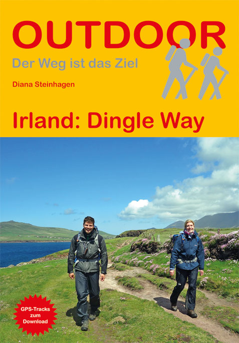
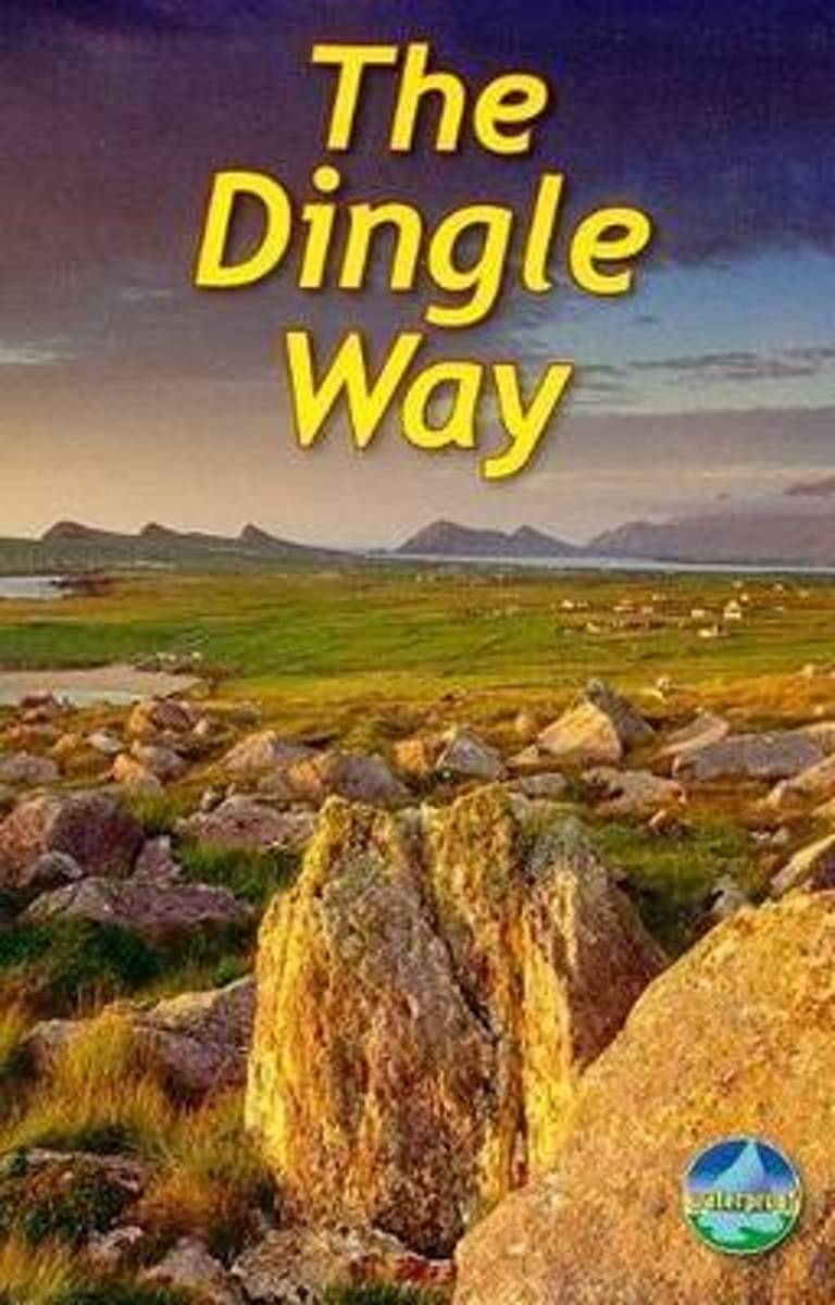
- The Dingle Way
- The Dingle Way runs 111 miles (179 km) around the beautiful Dingle Peninsula. It starts and finishes in Tralee, accessible by train or bus from Dublin and from Kerry Airport. The complete walk takes eight days, but it can easily be shortened. The Dingle Way follows country lanes, quiet roads and cliff-top paths, punctuated by long stretches of... Read more
- Also available from:
- Bol.com, Belgium
Bol.com
Belgium
2009
Belgium
2009
- The Dingle Way
- The Dingle Way runs 111 miles (179 km) around the beautiful Dingle Peninsula. It starts and finishes in Tralee, accessible by train or bus from Dublin and from Kerry Airport. The complete walk takes eight days, but it can easily be shortened. The Dingle Way follows country lanes, quiet roads and cliff-top paths, punctuated by long stretches of... Read more
Kaarten


De Zwerver
Netherlands
Netherlands
- Wandelkaart 6 Pirin gebergte | Domino
- Pirin Mountains at 1:50,000 on a large, double-sided, contoured map with GPS waypoints for shelters and chalets, peaks, etc. and highlighting hiking routes. Topography is shown by contours at 40m intervals with additional relief shading and graphics and colouring for sandstone stacks, single rocks over 5m high, marshlands and different types of... Read more
- Also available from:
- Stanfords, United Kingdom

Stanfords
United Kingdom
United Kingdom
- Pirin Mountains Domino
- Pirin Mountains at 1:50,000 on a large, double-sided, contoured map with GPS waypoints for shelters and chalets, peaks, etc. and highlighting hiking routes. Topography is shown by contours at 40m intervals with additional relief shading and graphics and colouring for sandstone stacks, single rocks over 5m high, marshlands and different types of... Read more
De Zwerver
Netherlands
Netherlands
De Zwerver
Netherlands
Netherlands
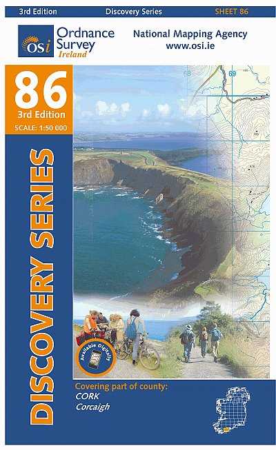
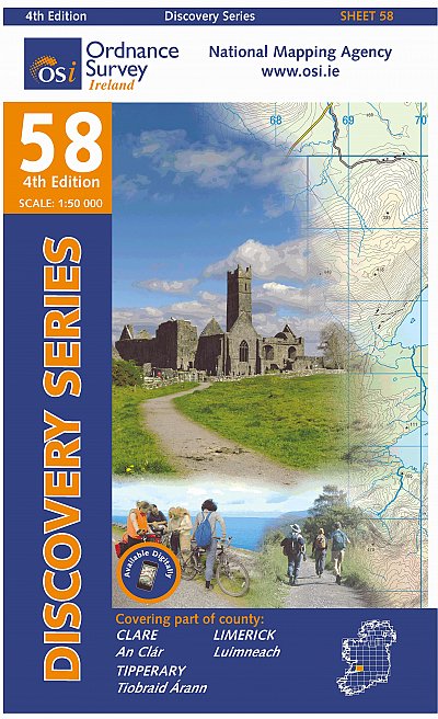
- Topografische kaart - Wandelkaart 86 Discovery Cork (Bandon) | Ordnance Survey Ireland
- Map No. 86, Cork Central in the Discovery series from the OSI, the Ordnance Survey of Ireland, which presents the country on detailed topographic maps at 1:50,000, with additional overprint highlighting campsites and caravan parks, youth hostels, etc. Current 3rd edition of this map was published in July 2010.Maps in the Discovery series have... Read more
- Also available from:
- Stanfords, United Kingdom

Stanfords
United Kingdom
United Kingdom
- Cork OSI Discovery 86
- Map No. 86, Cork Central in the Discovery series from the OSI, the Ordnance Survey of Ireland, which presents the country on detailed topographic maps at 1:50,000, with additional overprint highlighting campsites and caravan parks, youth hostels, etc. Current 4th edition of this map was published in October 2015.Maps in the Discovery series... Read more
De Zwerver
Netherlands
Netherlands
De Zwerver
Netherlands
Netherlands
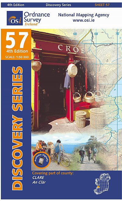
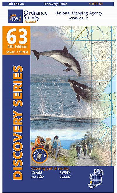
- Topografische kaart - Wandelkaart 63 Discovery Clare, Kerry | Ordnance Survey Ireland
- Map No. 63, Clare South-West - Kerry North in the Discovery series from the OSI, the Ordnance Survey of Ireland, which presents the country on detailed topographic maps at 1:50,000, with additional overprint highlighting campsites and caravan parks, youth hostels, etc. Current 4th edition of this map was published in January 2013.Maps in the... Read more
- Also available from:
- Stanfords, United Kingdom

Stanfords
United Kingdom
United Kingdom
- Clare - Kerry OSI Discovery 63
- Map No. 63, Clare South-West - Kerry North in the Discovery series from the OSI, the Ordnance Survey of Ireland, which presents the country on detailed topographic maps at 1:50,000, with additional overprint highlighting campsites and caravan parks, youth hostels, etc. Current 4th edition of this map was published in January 2013.Maps in the... Read more

De Zwerver
Netherlands
Netherlands
- Wandelkaart - Wegenkaart - landkaart 7 Westelijke Rhodopen - Western Rhodopes | Domino
- Western Rhodope Mountains at 1:100,000 on a contoured GPS compatible map from Domino extending from just west of the Pirin National Park to Asenovgrad in the north-east. The map is double-sided with a good overlap between the sides. Topography is shown by contours at 50m intervals with relief shading and spot heights, plus colouring for... Read more
- Also available from:
- Stanfords, United Kingdom

Stanfords
United Kingdom
United Kingdom
- Western Rhodope Mountains Domino Map
- Western Rhodope Mountains at 1:100,000 on a contoured GPS compatible map from Domino extending from just west of the Pirin National Park to Asenovgrad in the north-east. The map is double-sided with a good overlap between the sides. Topography is shown by contours at 50m intervals with relief shading and spot heights, plus colouring for... Read more
De Zwerver
Netherlands
Netherlands

De Zwerver
Netherlands
Netherlands
- Wandelkaart 1 Stara Planina gebergte | Domino
- Stara Planina Central: Zlatitsa to Kalofer map at 1:50,000 from Bulgarian publishers Domino, contoured and GPS compatible, with hiking trails, accommodation options including a list of local mountain refuges, etc. The map is double-sided and covers the mountains from just west of Ribaritsa and Zlatitsa eastwards beyond Kalofer to the peak of... Read more
- Also available from:
- Stanfords, United Kingdom

Stanfords
United Kingdom
United Kingdom
- Stara Planina Central: Zlatitsa to Kalofer Domino Map
- Stara Planina Central: Zlatitsa to Kalofer map at 1:50,000 from Bulgarian publishers Domino, contoured and GPS compatible, with hiking trails, accommodation options including a list of local mountain refuges, etc. The map is double-sided and covers the mountains from just west of Ribaritsa and Zlatitsa eastwards beyond Kalofer to the peak of... Read more

De Zwerver
Netherlands
Netherlands
- Wandelkaart 2 Stara Planina gebergte | Domino
- Stara Planina Central: Uzana to Vratnik map at 1:50,000 from Bulgarian publishers Domino, contoured and GPS compatible, with hiking trails, accommodation options including a list of local mountain refuges, etc. The map is double-sided and covers the mountains from just west of the Uzana massif, the geographical centre of Bulgaria, eastwards to... Read more
- Also available from:
- Stanfords, United Kingdom

Stanfords
United Kingdom
United Kingdom
- Stara Planina Central: Uzana to Vratnik Domino Map
- Stara Planina Central: Uzana to Vratnik map at 1:50,000 from Bulgarian publishers Domino, contoured and GPS compatible, with hiking trails, accommodation options including a list of local mountain refuges, etc. The map is double-sided and covers the mountains from just west of the Uzana massif, the geographical centre of Bulgaria, eastwards to... Read more