
Garda
Beschrijving
Kaart

Paden in deze regio
Links
Feiten
Verslagen
Gidsen en kaarten
Overnachting
Organisaties
Reisorganisaties
GPS
Anders
Boeken
De Zwerver
Netherlands
2011
Netherlands
2011
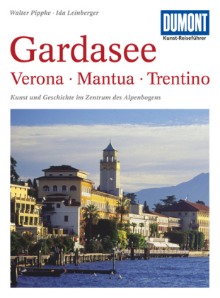
- Reisgids Kunstreiseführer Gardasee: Verona - Mantua - Trentino | Dumont
- Bis vor wenigen Jahrzehnten genossen der Lago Maggiore und der Comer See mit ihren Villen, Palästen und Gärten die ´´Kulturhoheit´´ unter den oberitalienischen Seen. Der Gardasee dagegen galt schon seit Goethes ´´Italienischer Reise´´ vorwiegend als beeindruckendes Landschaftserlebnis, als ´´Anblick der Südsee mitten im Gebirge´´. Der... Read more

De Zwerver
Netherlands
2024
Netherlands
2024
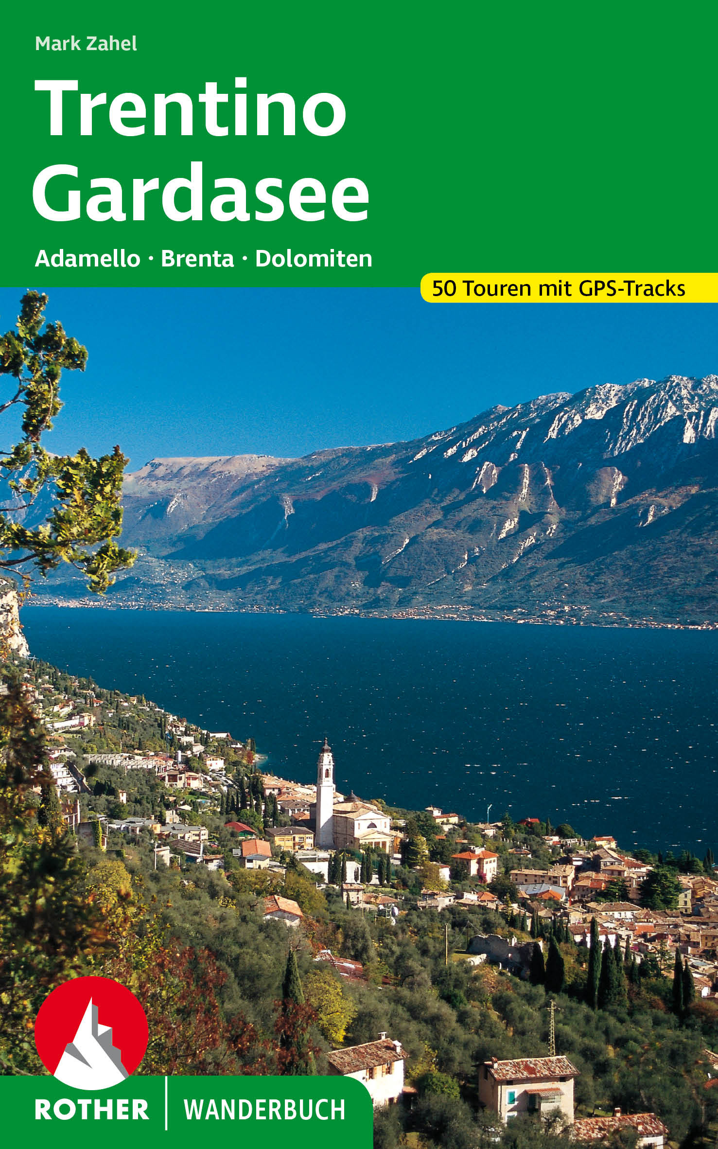
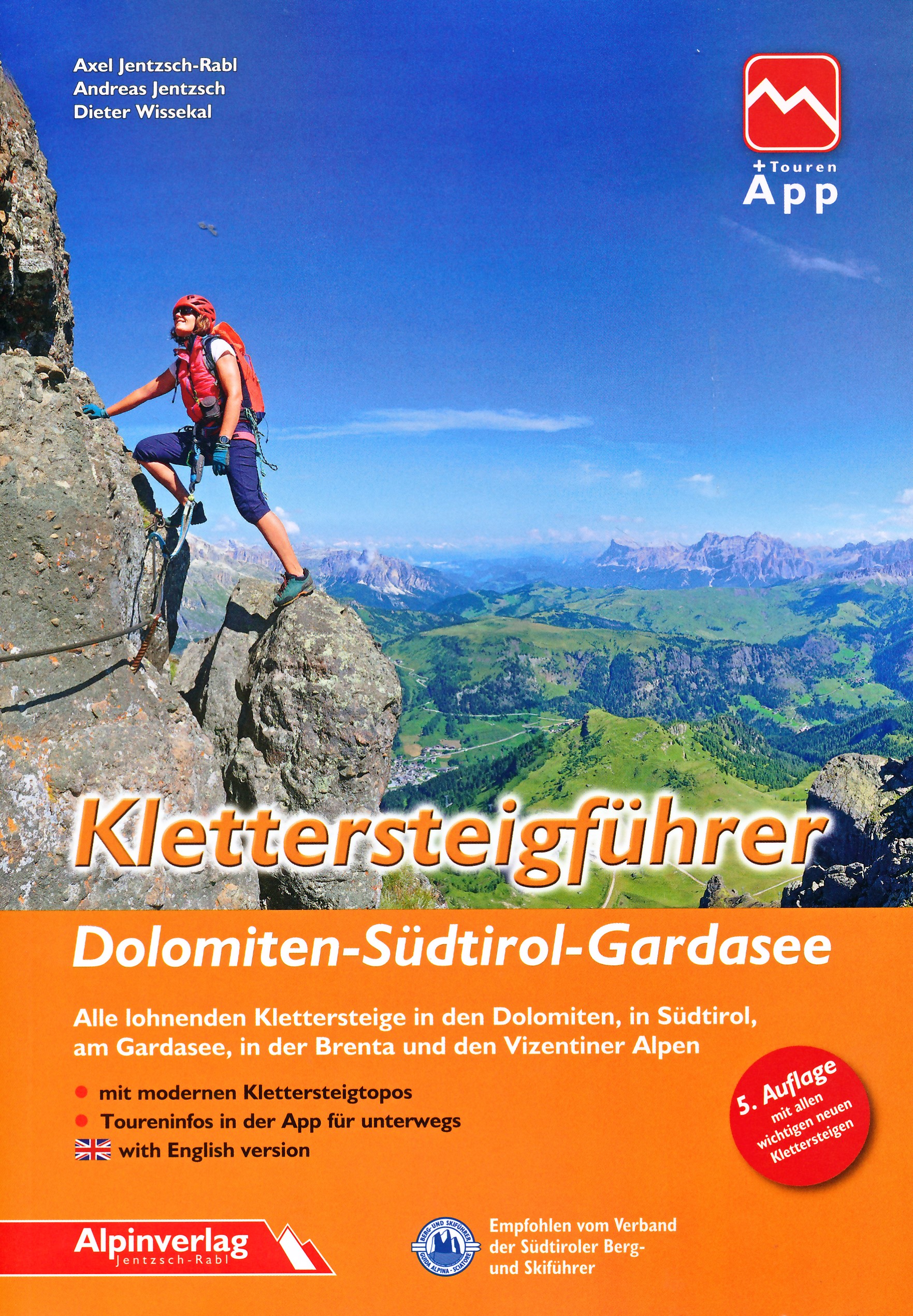
- Klimgids - Klettersteiggids Alpine Klettersteige Ostalpen | Rother Bergverlag
- 70 spannende Touren zwischen Wien, Bodensee und Gardasee Rother Selection. 1. Auflage. Read more
De Zwerver
Netherlands
2022
Netherlands
2022
De Zwerver
Netherlands
2017
Netherlands
2017
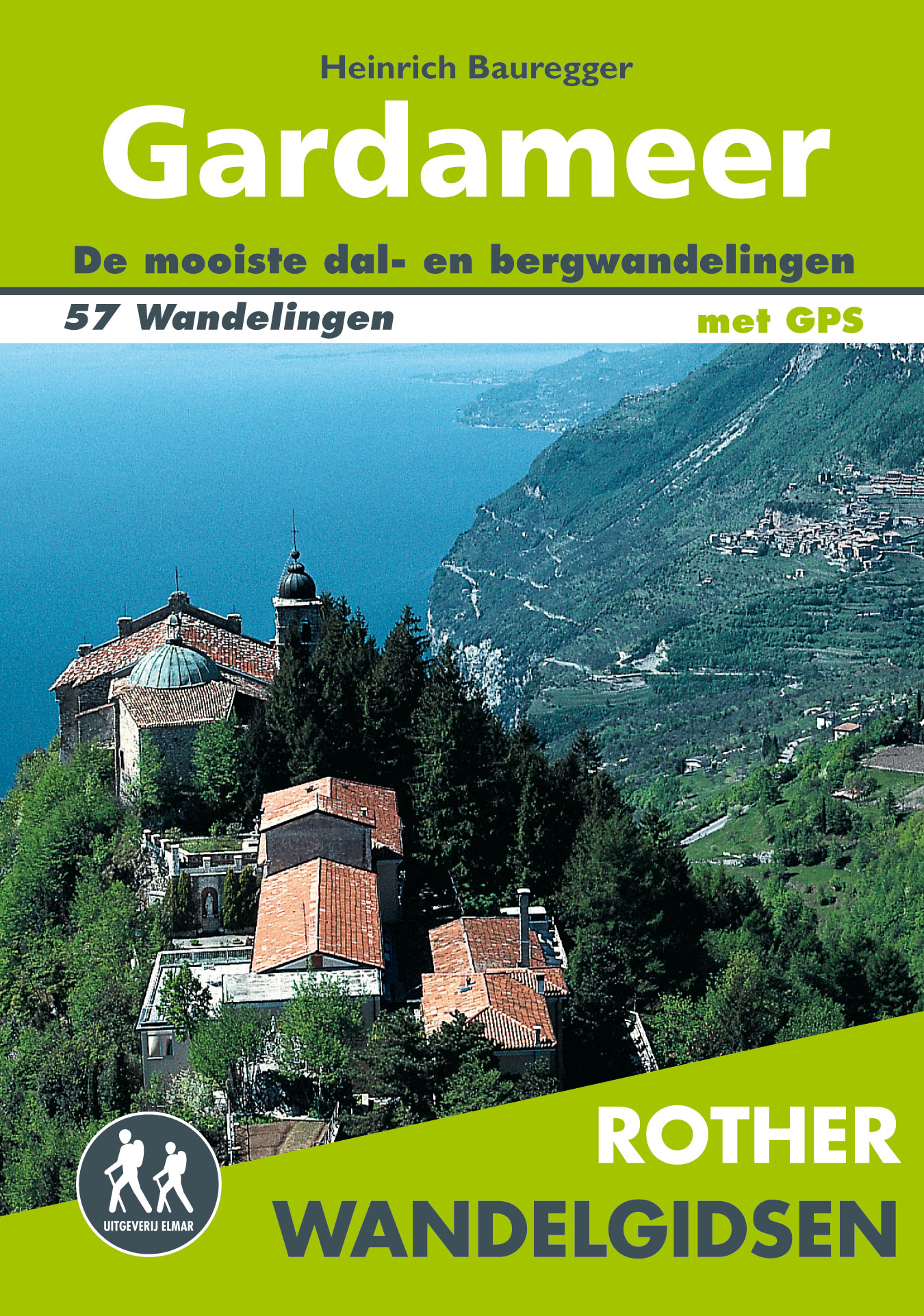
- Wandelgids Gardameer | Uitgeverij Elmar
- de mooiste dal- en bergwandelingen Read more
De Zwerver
Netherlands
2018
Netherlands
2018
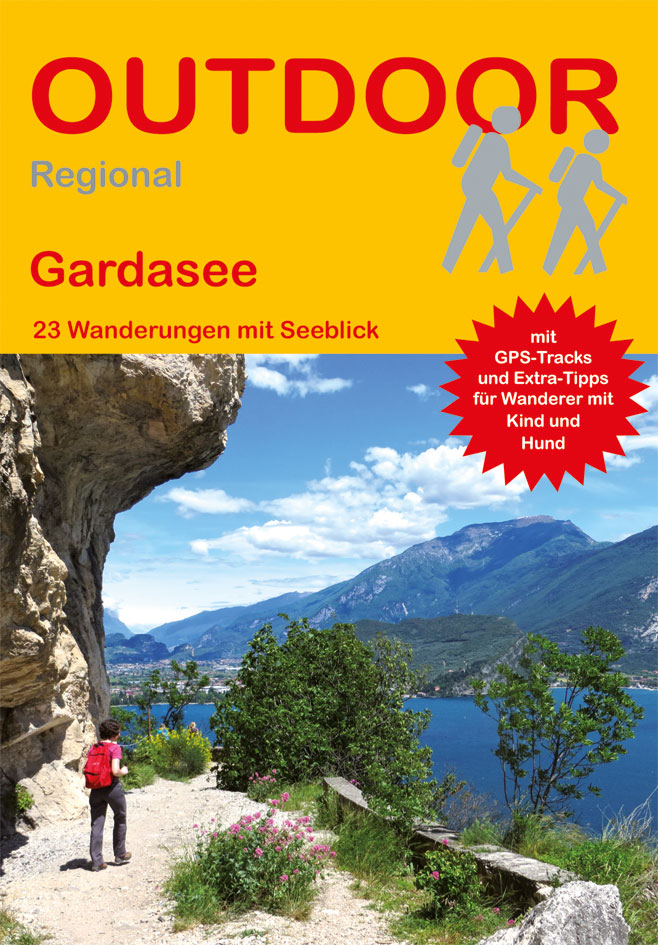
- Wandelgids Gardameer - Gardasee- Lago di Garda | Conrad Stein Verlag
- Handzaam boekje met de routebeschrijving inclusief een heleboel praktische informatie. De beschrijving is uitstekend, maar kaarten zijn beperkt en schetsmatig aanwezig. Duits.. Spektakul�re Wege, weite Ausblicke, alte Festungen, Str�nde � der Gardasee hat f�r Wanderer viel zu bieten. Das Buch stellt 23 der sch�nsten Tagestouren rund um den n�... Read more
De Zwerver
Netherlands
2022
Netherlands
2022
De Zwerver
Netherlands
2022
Netherlands
2022
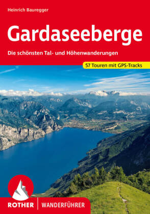
- Wandelgids 41 Gardaseegeberge - Gardameer | Rother Bergverlag
- Uitstekende wandelgids met 52 dagtochten in dal en hoger gelegen delen van het gebergte. Met praktische informatie en beperkt kaartmateriaal! Wandelingen in verschillende zwaarte weergegeven in rood/blauw/zwart. Deze wandelgidsen uitgever staat hoog aangeschreven en is een begrip onder de wandelaars! Eingebettet in steil aufragende Berge,... Read more
Kaarten
De Zwerver
Netherlands
2019
Netherlands
2019
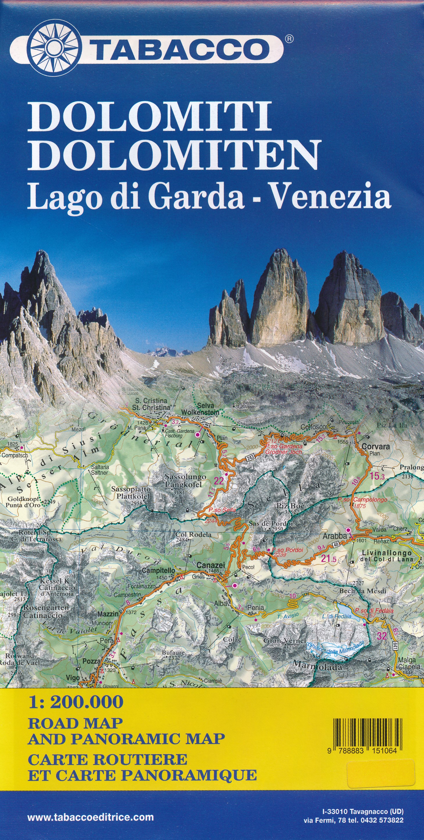
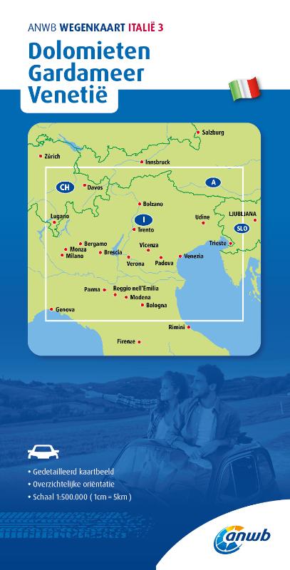
- Wegenkaart - landkaart Dolomiti - Dolomieten - Lago di Garda - Venezia | Tabacco Editrice
- Dolomites Road Panoramic Map 1 : 200 000 ab 8.99 EURO Panoramakarte und Strassenkarte Tabacco Editrice Straßenkarte. Neuauflage Read more
De Zwerver
Netherlands
2021
Netherlands
2021
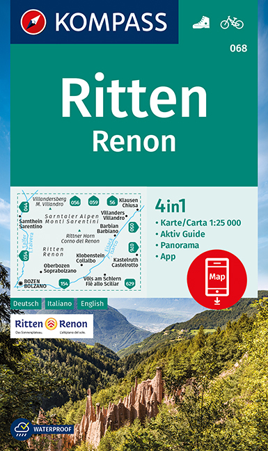
- Wandelkaart 068 Ritten - Renon | Kompass
- Map No. 068, Renon/Ritten - with a panorama map on the reverse, from Kompass in a series providing detailed coverage of the Dolomites and Lake Garda area and supplementing their main series of walking maps of Italy at 1:50,000. Maps in this series have a more detailed base and smaller contour interval than coverage at 1:50,000.*Cartography:*... Read more
- Also available from:
- Stanfords, United Kingdom

Stanfords
United Kingdom
2021
United Kingdom
2021
- Renon / Ritten Kompass 068
- Map No. 068, Renon/Ritten - with a panorama map on the reverse, from Kompass in a series providing detailed coverage of the Dolomites and Lake Garda area and supplementing their main series of walking maps of Italy at 1:50,000. Maps in this series have a more detailed base and smaller contour interval than coverage at 1:50,000.*Cartography:*... Read more
De Zwerver
Netherlands
2022
Netherlands
2022
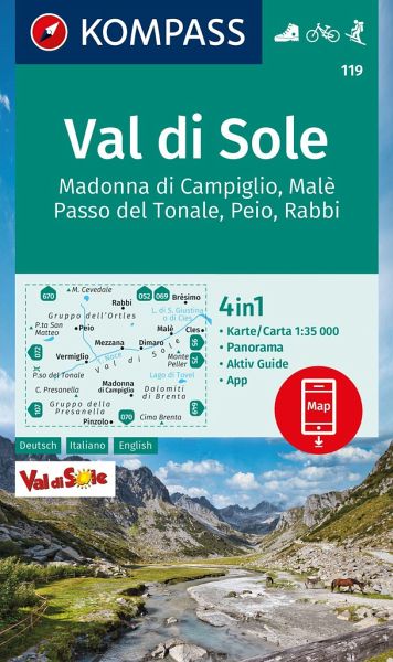
- Wandelkaart 119 Val di Sole | Kompass
- Map No. 119, Val di Sole - with a panorama map on the reverse, from Kompass in a series providing detailed coverage of the Dolomites and Lake Garda area and supplementing their main series of walking maps of Italy at 1:50,000. Maps in this series have a more detailed base and smaller contour interval than coverage at 1:50,000.*Cartography:*... Read more
- Also available from:
- Stanfords, United Kingdom
Stanfords
United Kingdom
2022
United Kingdom
2022
- Val di Sole - Madonna di Campiglio - Malè - Passo del Tonale Kompass 119
- Map No. 119, Val di Sole - with a panorama map on the reverse, from Kompass in a series providing detailed coverage of the Dolomites and Lake Garda area and supplementing their main series of walking maps of Italy at 1:50,000. Maps in this series have a more detailed base and smaller contour interval than coverage at 1:50,000.*Cartography:*... Read more
De Zwerver
Netherlands
2021
Netherlands
2021
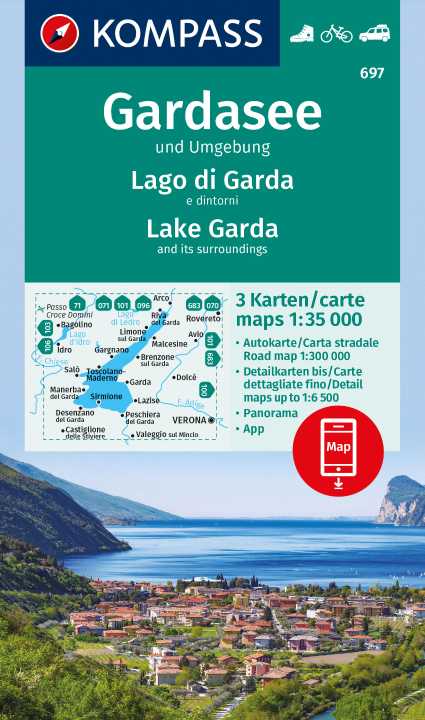
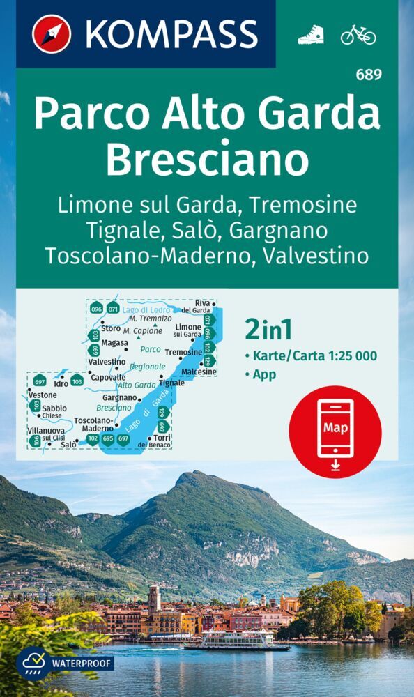
- Wandelkaart 096 Alto Garda - Ledro - Val di Sarca | Kompass
- The area around and north of the northern tip of Lake Garda, including Riva del Garda, on a double-sided, waterproof and tear-resistant, contoured and GPS compatible map at 1:25,000 from Kompass. Contour interval is 20m, with extensive overprint for hiking trails, cycle routes including a selection of mountain bike routes), ski routes,... Read more
- Also available from:
- Stanfords, United Kingdom
Stanfords
United Kingdom
2021
United Kingdom
2021
- Alto Garda - Ledro - Valle del Sacra Kompass 096
- The area around and north of the northern tip of Lake Garda, including Riva del Garda, on a double-sided, waterproof and tear-resistant, contoured and GPS compatible map at 1:25,000 from Kompass. Contour interval is 20m, with extensive overprint for hiking trails, cycle routes including a selection of mountain bike routes), ski routes,... Read more
De Zwerver
Netherlands
Netherlands
- Wandelkaart 687 Monte Stivo - Monte Bondone | Kompass
- Map No. 687, Monte Stivo - Monte Bondone - Rovereto, from Kompass in a series providing detailed coverage of the Dolomites and Lake Garda area and supplementing their main series of walking maps of Italy at 1:50,000. Maps in this series have a more detailed base and smaller contour interval than coverage at 1:50,000.Cartography: maps at... Read more
- Also available from:
- Stanfords, United Kingdom

Stanfords
United Kingdom
United Kingdom
- Monte Stivo - Monte Bondone - Rovereto Kompass 687
- Map No. 687, Monte Stivo - Monte Bondone - Rovereto, from Kompass in a series providing detailed coverage of the Dolomites and Lake Garda area and supplementing their main series of walking maps of Italy at 1:50,000. Maps in this series have a more detailed base and smaller contour interval than coverage at 1:50,000.*Cartography:* maps at... Read more
De Zwerver
Netherlands
2019
Netherlands
2019
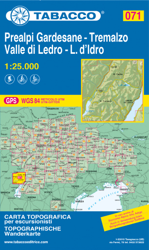
- Wandelkaart 071 Prealpi Gardesane - Tremalzo - Valle di Ledro - L. d'Idro | Tabacco Editrice
- Valle del Sacra – Arco – Riva del Garda area in a series of Tabacco maps at 1:25,000 covering the Dolomites and the mountains of north-eastern Italy - Stanfords’ most popular coverage for this region, with excellent cartography and extensive overprint for hiking routes and other recreational activities, local bus stops, etc. Additional... Read more
- Also available from:
- Stanfords, United Kingdom

Stanfords
United Kingdom
2019
United Kingdom
2019
- Prealpi Gardesane - Tremalzo - Valle di Ledro - L. d`Idro Tabacco 071
- Valle del Sacra – Arco – Riva del Garda area in a series of Tabacco maps at 1:25,000 covering the Dolomites and the mountains of north-eastern Italy - Stanfords’ most popular coverage for this region, with excellent cartography and extensive overprint for hiking routes and other recreational activities, local bus stops, etc. Additional... Read more
De Zwerver
Netherlands
2021
Netherlands
2021
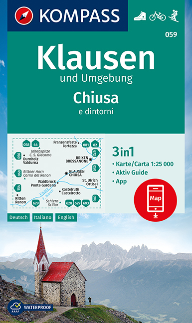
- Wandelkaart 059 Klausen und Umgebung - Chiusa e dintorni | Kompass
- Map No. 059, Chiusa/Klausen and the Surrounding Area, at 1:25,000 from Kompass printed on sturdy, waterproof and tear-resistant synthetic paper. The map is part of a series which provides detailed coverage of the Dolomites and Lake Garda area and supplements the publishers` main series of walking maps of Italy at 1:50,000. Maps in this series... Read more
- Also available from:
- Stanfords, United Kingdom
Stanfords
United Kingdom
2021
United Kingdom
2021
- Chiusa / Klausen and Environs Kompass 059
- Map No. 059, Chiusa/Klausen and the Surrounding Area, at 1:25,000 from Kompass printed on sturdy, waterproof and tear-resistant synthetic paper. The map is part of a series which provides detailed coverage of the Dolomites and Lake Garda area and supplements the publishers` main series of walking maps of Italy at 1:50,000. Maps in this series... Read more
De Zwerver
Netherlands
Netherlands
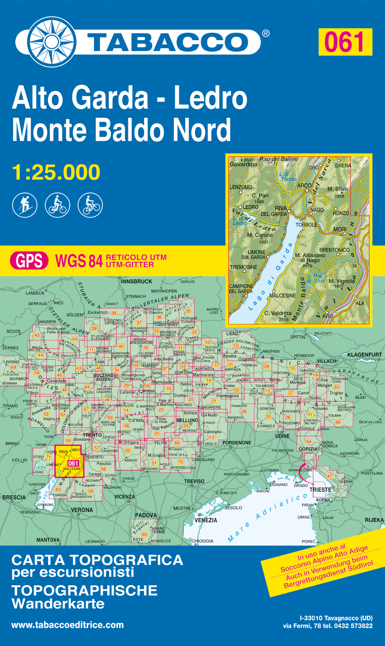
- Wandelkaart 061 Alto Garda - Ledro - Monte Baldo Nord | Tabacco Editrice
- De beste wandelkaarten voor de Dolomieten. Zeer veel topografische details met secure hoogtelijnen (25 meter interval), helder kleurgebruik en bijna alle Tabacco kaarten hebben een UTM grid (voor GPS toepasbaar). Daarnaast zijn op deze wandelkaarten wandelroutes ingetekend met nummering gelijk aan markering onderweg aangebracht door de lokale... Read more
- Also available from:
- Stanfords, United Kingdom

Stanfords
United Kingdom
United Kingdom
- Alto Garda - Ledro - Monte Baldo North Tabacco 061
- Valle del Sacra – Arco – Riva del Garda area in a series of Tabacco maps at 1:25,000 covering the Dolomites and the mountains of north-eastern Italy - Stanfords’ most popular coverage for this region, with excellent cartography and extensive overprint for hiking routes and other recreational activities, local bus stops, etc. Additional... Read more
De Zwerver
Netherlands
Netherlands
De Zwerver
Netherlands
2019
Netherlands
2019
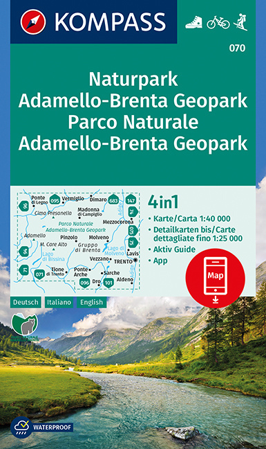
- Wandelkaart 070 Naturpark Adamello-Brenta Geopark - Parco Naturale Adamello-Brenta Geopark | Kompass
- Goede wandelkaart met vrijwel alle topografische details en ingetekende routes. Ook met symbolen voor toeristische bezienswaardigheden, register. Berghutten duidelijk weergegeven. Gevaarlijke wandelroutes zijn goed herkenbaar. Inclusief een Duitstalig boekje met informatie en routesuggesties. KOMPASS Karten enthalten alles Wissenswerte f�r den... Read more
- Also available from:
- Stanfords, United Kingdom
Stanfords
United Kingdom
2019
United Kingdom
2019
- Adamello-Brenta Geopark NP Kompass 070
- Map No. 070, Adamello-Brenta NP, from Kompass in a series providing detailed coverage of the Dolomites and Lake Garda area and supplementing their main series of walking maps of Italy at 1:50,000. Maps in this series have a more detailed base and smaller contour interval than coverage at 1:50,000.*Cartography:* maps at 1:25,000 have contours at... Read more