
Ardennes
Beschrijving
Kaart

Paden in deze regio
- Alzette PathGPX
- Attert PathGPX
- Charles Mathieu PathGPX
- Clervaux - Our
- E2GPX
- E3GPX
- Eisléck PathGPX
- Fred Welter Path
- GR122 - ScheldelandGPX
- GR125 - Tour de l'Entre-Sambre-et-MeuseGPX
- GR126 - Brussel-Namen-Membre sur SamoisGPX
- GR14 - Sentier de l'ArdenneGPX
- GR15 - AE - Ardennes-EifelGPX
- GR5GPX
- GR56 - Hautes Fagnes - EifelGPX
- GR57 - Vallée de l'OurtheGPX
- GR570 - Pays des Trois FrontièresGPX
- GR571 - Vallées des LégendesGPX
- GR575 - Tour du Condroz NamuroisGPX
- GR576 - Tour du Condroz LiégeoisGPX
- GR577 - Tour de la FamenneGPX
- GR579 - Brussels - LiègeGPX
- Little Switzerland PathGPX
- Lower-Sûre Path
- Mamer PathGPX
- Maurice Cosyn PathGPX
- Mëllerdall Path
- Müllerthal TrailGPX
- Moselle PathGPX
- North PathGPX
- Our PathGPX
- Panorama PathGPX
- Path of the MineworkersGPX
- Préizerdaul PathGPX
- Remerschen - HellangeGPX
- Rhine-Meuse Trail
- Schengen – Hellange
- South LuxembourgGPX
- South PathGPX
- Tour de la Vesdre
- Transardense Route
- Upper-Sûre Lake PathGPX
- Upper-Sûre PathGPX
- Valley of the 7 CastlesGPX
- Victor Hugo PathGPX
- Wiltz PathGPX
Links
Feiten
Verslagen
Gidsen en kaarten
Overnachting
Organisaties
Reisorganisaties
GPS
Anders
Boeken

De Zwerver
Netherlands
2022
Netherlands
2022
De Zwerver
Netherlands
Netherlands

De Zwerver
Netherlands
2021
Netherlands
2021
De Zwerver
Netherlands
2019
Netherlands
2019
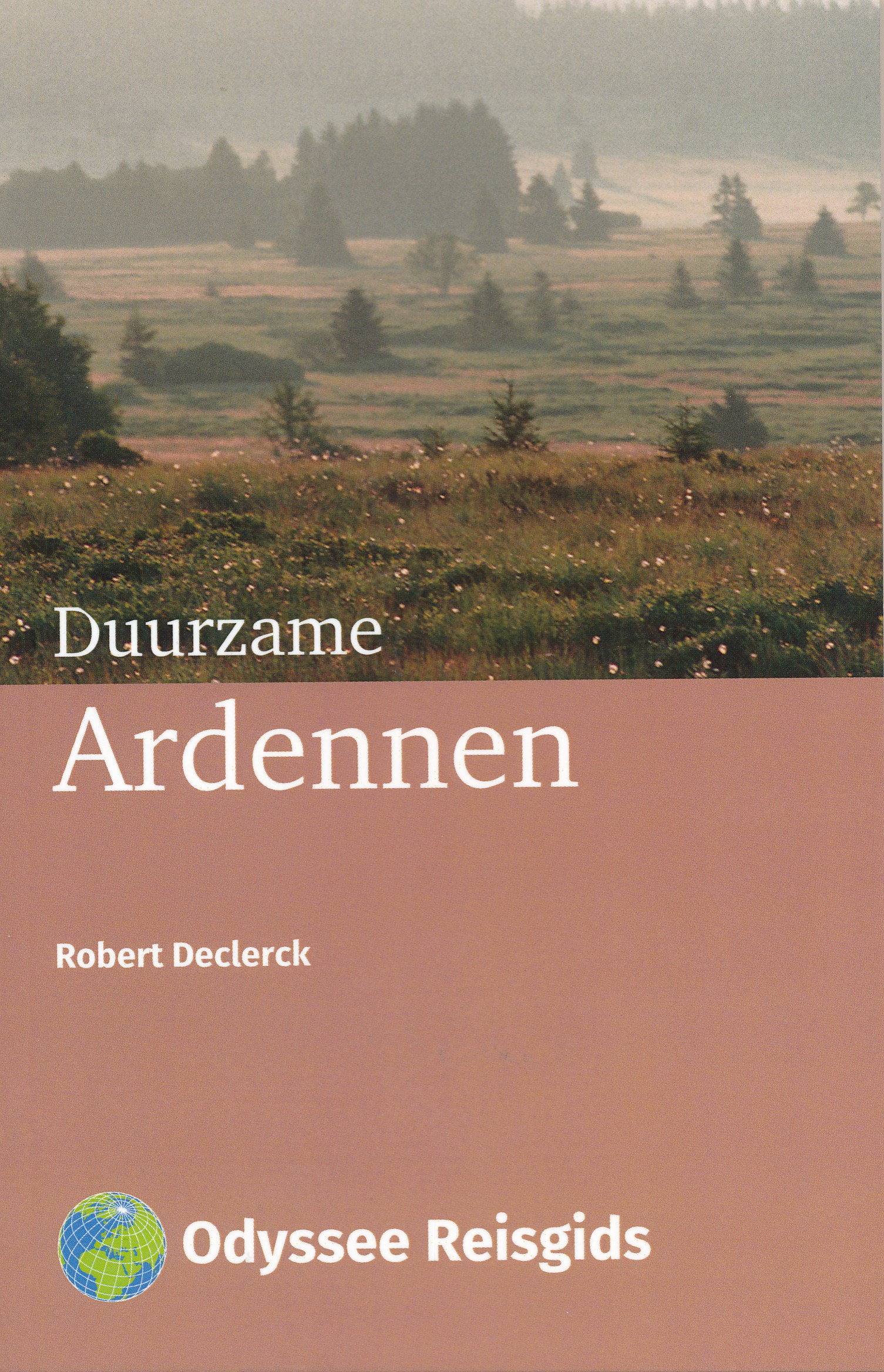
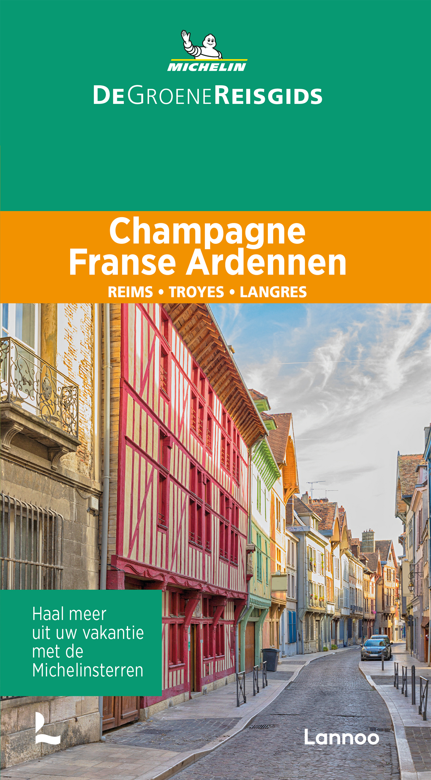
- Reisgids Duurzame Ardennen | Odyssee Reisgidsen
- Odyssee reisgidsen zijn inhoudelijk sterke reisgidsen geschreven door auteurs die daadwerkelijk iets met het land, stad of streek hebben: ze wonen er, werken er of zijn gids ter plekke. Dit staat garant voor goede degelijke informatie over alle aspecten van het gebied, achtergrondinformatie maar ook praktische zaken. Gedrukt in kleine... Read more

De Zwerver
Netherlands
2021
Netherlands
2021
De Zwerver
Netherlands
2018
Netherlands
2018
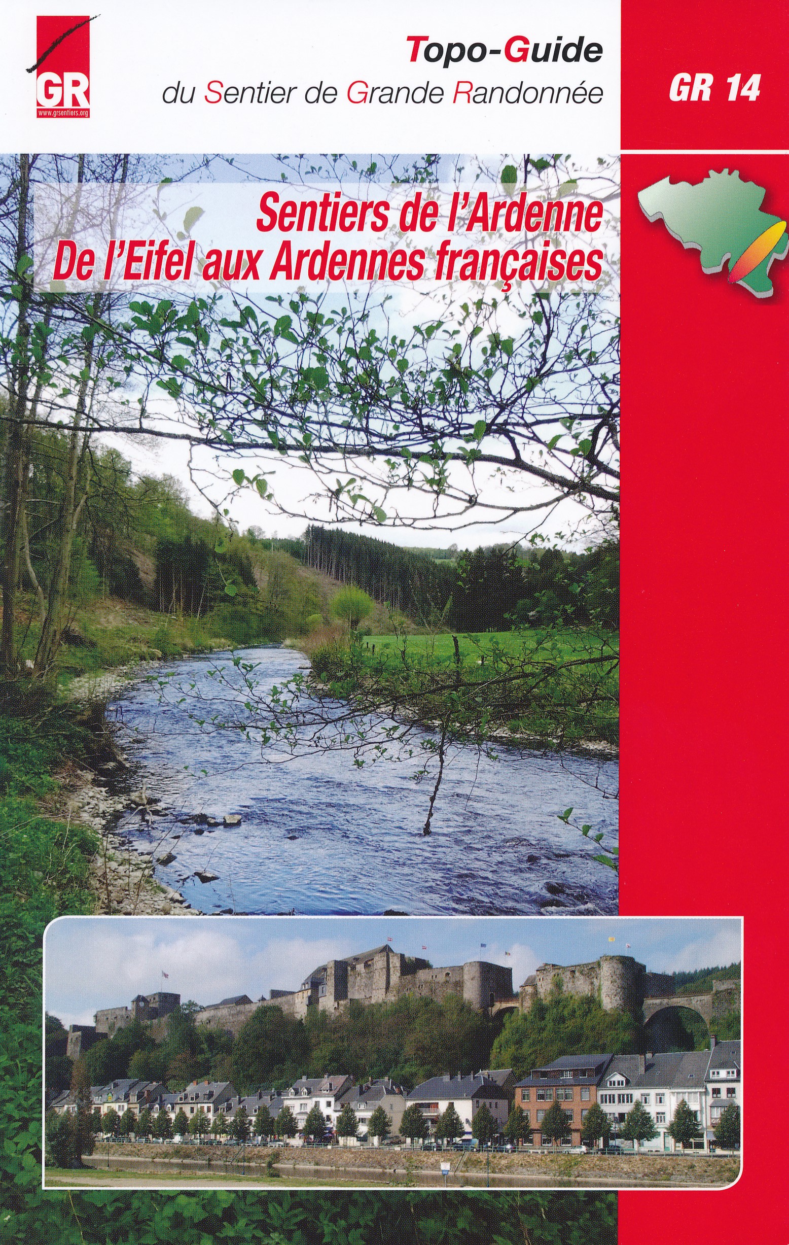
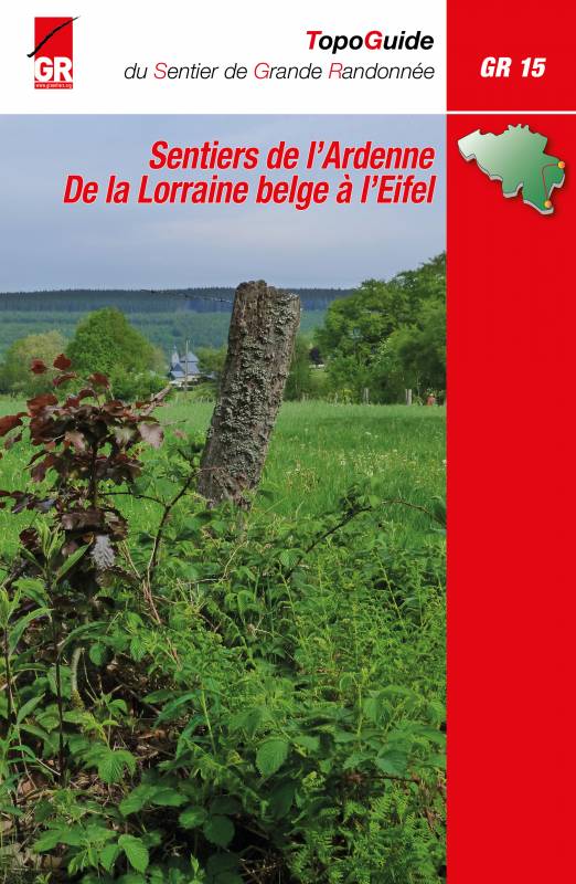
- Wandelgids GR14 Sentier de l'Ardenne | GR Sentiers
- GR 14 neemt je mee door uitgestrekte bossen; loopt langs betoverende rivieren zoals de Warche, Amblève; Liene, Ourthe, Lesse en de Semois en doet typische dorpjes en charmante kleine steden aan zoals Stavelot, Trois-Ponts, Lierneux, La Roche, Saint-Hubert enBouillon. De route is een onuitputtelijke bron van ontdekkingen voor de wandelaar die... Read more
De Zwerver
Netherlands
2022
Netherlands
2022
De Zwerver
Netherlands
2023
Netherlands
2023

De Zwerver
Netherlands
2019
Netherlands
2019

De Zwerver
Netherlands
2009
Netherlands
2009
- Wandelgids GR 5 Mer Du Nord-Mediterrannee Noordzee - Middellandse Zee deel Ardennen (Maastricht - Diekirch ) | GR Sentiers
- LET OP: deze wandelgids van dit deel van de GR5 is alleen nog maar in het Frans leverbaar. De Nederlandstalige versie is geheel uitverkocht, niet meer te bestellen en er komt naar alle waarschijnlijkheid geen nieuwe versie in het Nederlands! Uitstekende routegids met gedetailleerde kaarten en een routebeschrijving. Fout lopen wordt op deze... Read more
Meer boeken…

Kaarten
De Zwerver
Netherlands
Netherlands
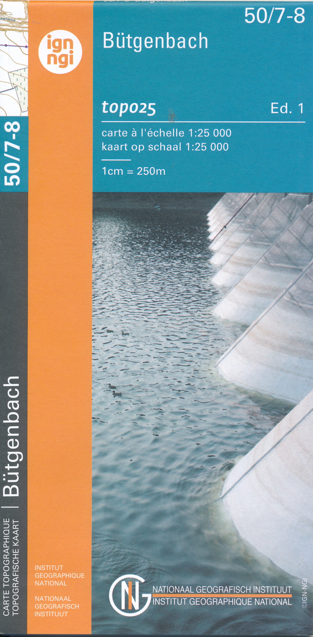
- Wandelkaart - Topografische kaart 50/7-8 Topo25 Bütgenbach - Büllingen,Bullange | NGI - Nationaal Geografisch Instituut
- Topographical survey of Belgium at 1:20,000 from Nationaal Geografisch Instituut / Institut Géographique National, the country’s national survey organization. Each 20K map covers one quarter of the corresponding 1:50,000 map (with adjustments in the border and coastal areas). The maps provide all the information expected of topographic mapping... Read more
- Also available from:
- Stanfords, United Kingdom

Stanfords
United Kingdom
United Kingdom
- Butgenbach NGI Topo 50/7-8
- Topographical survey of Belgium at 1:20,000 from Nationaal Geografisch Instituut / Institut Géographique National, the country’s national survey organization. Each 20K map covers one quarter of the corresponding 1:50,000 map (with adjustments in the border and coastal areas). The maps provide all the information expected of topographic mapping... Read more
De Zwerver
Netherlands
Netherlands
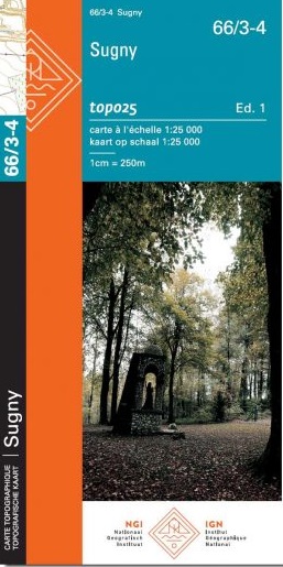
- Wandelkaart - Topografische kaart 56/3-4 Topo25 Sankt Vith - Schoenberg | NGI - Nationaal Geografisch Instituut
- Zeer gedetailleerde topografische kaart van een deel van Belgie. Deze kaart is bijzonder geschikt voor wandeltochten in met name het heuvelachtige gebied van de Ardennen. Voorzien van alle topografische details als hoogtelijnen, waterlopen, bosgebieden, paden en brandgangen. Hoogtelijnen maken het mogelijk de moeilijkheidsgraad van een... Read more
De Zwerver
Netherlands
Netherlands
- Also available from:
- Stanfords, United Kingdom

Stanfords
United Kingdom
United Kingdom
- Guignicourt - Bazancourt - Asfeld IGN 2811SB
- Between 2014 and 2019, the IGN renewed its entire Serie Bleue collection. A new map for optimal readability, with better geometric precision and enriched tourist information. A new format twice as large: the format of the new Serie Bleue is equivalent to that of the Top 25 and the number of references will thus be divided by 2. For most maps,... Read more
De Zwerver
Netherlands
Netherlands
De Zwerver
Netherlands
Netherlands
- Also available from:
- Stanfords, United Kingdom

Stanfords
United Kingdom
United Kingdom
- Fleurus NGI Topo 47/1-2
- Topographical survey of Belgium at 1:20,000 from Nationaal Geografisch Instituut / Institut Géographique National, the country’s national survey organization. Each 20K map covers one quarter of the corresponding 1:50,000 map (with adjustments in the border and coastal areas). The maps provide all the information expected of topographic mapping... Read more
De Zwerver
Netherlands
Netherlands
- Topografische kaart - Wandelkaart 30 Topo50 Geraardsbergen | NGI - Nationaal Geografisch Instituut
- Topographical survey of Belgium at 1:50,000 from the country’s national survey organization, Nationaal Geografisch Instituut / Institut Géographique National. Contour interval varies according to the terrain, from 2.5 metres in the coastal areas to 10 metres in the Ardennes. The maps provide all the information expected of topographic mapping... Read more
- Also available from:
- Stanfords, United Kingdom

Stanfords
United Kingdom
United Kingdom
- Geraardsbergen NGI Topo 30
- Topographical survey of Belgium at 1:50,000 from the country’s national survey organization, Nationaal Geografisch Instituut / Institut Géographique National. Contour interval varies according to the terrain, from 2.5 metres in the coastal areas to 10 metres in the Ardennes. The maps provide all the information expected of topographic mapping... Read more
De Zwerver
Netherlands
Netherlands
- Topografische kaart - Wandelkaart 69/5-6 Topo25 Autelbas | NGI - Nationaal Geografisch Instituut
- Topographical survey of Belgium at 1:20,000 from Nationaal Geografisch Instituut / Institut Géographique National, the country’s national survey organization. Each 20K map covers one quarter of the corresponding 1:50,000 map (with adjustments in the border and coastal areas). The maps provide all the information expected of topographic mapping... Read more
- Also available from:
- Stanfords, United Kingdom

Stanfords
United Kingdom
United Kingdom
- Autelbas NGI Topo 69/5-6
- Topographical survey of Belgium at 1:20,000 from Nationaal Geografisch Instituut / Institut Géographique National, the country’s national survey organization. Each 20K map covers one quarter of the corresponding 1:50,000 map (with adjustments in the border and coastal areas). The maps provide all the information expected of topographic mapping... Read more
De Zwerver
Netherlands
Netherlands
- Also available from:
- Stanfords, United Kingdom

Stanfords
United Kingdom
United Kingdom
- Quevy NGI Topo Map 51
- Topographical survey of Belgium at 1:50,000 from the country’s national survey organization, Nationaal Geografisch Instituut / Institut Géographique National. Contour interval varies according to the terrain, from 2.5 metres in the coastal areas to 10 metres in the Ardennes. The maps provide all the information expected of topographic mapping... Read more
De Zwerver
Netherlands
Netherlands
De Zwerver
Netherlands
Netherlands
- Also available from:
- Stanfords, United Kingdom
Stanfords
United Kingdom
United Kingdom
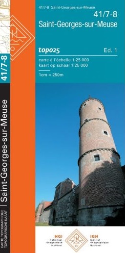
- Saint-Georges-sur-Meuse NGI Topo 41/7-8
- Topographical survey of Belgium at 1:20,000 from Nationaal Geografisch Instituut / Institut Géographique National, the country’s national survey organization. Each 20K map covers one quarter of the corresponding 1:50,000 map (with adjustments in the border and coastal areas). The maps provide all the information expected of topographic mapping... Read more
De Zwerver
Netherlands
Netherlands
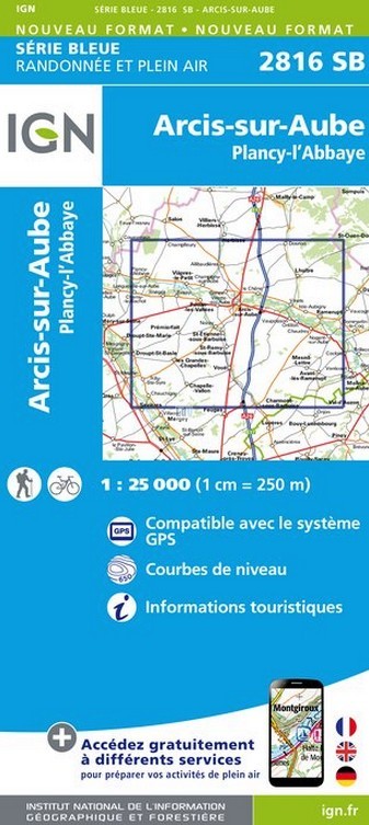
- Wandelkaart - Topografische kaart 2816SB Arcis-sur-Aube, Plancy-l'Abbaye | IGN - Institut Géographique National
- Topographic survey of France at 1:25,000 in IGN's excellent TOP25 / S Read more
- Also available from:
- Stanfords, United Kingdom

Stanfords
United Kingdom
United Kingdom
- Arcis-sur-Aube - Plancy-l`Abbaye IGN 2816SB
- Topographic survey of France at 1:25,000 in IGN`s excellent TOP25 / Série Bleue series. All the maps are GPS compatible, with a 1km UTM grid plus latitude and longitude lines at 5’ intervals. Contours are at 5m intervals except for mountainous areas where the maps have contours at 10m intervals, vividly enhanced by hill shading and graphics for... Read more
De Zwerver
Netherlands
2015
Netherlands
2015