
Amsterdam
Beschrijving
Capital of The Netherlands
Paden in deze regio
Links
Feiten
Verslagen
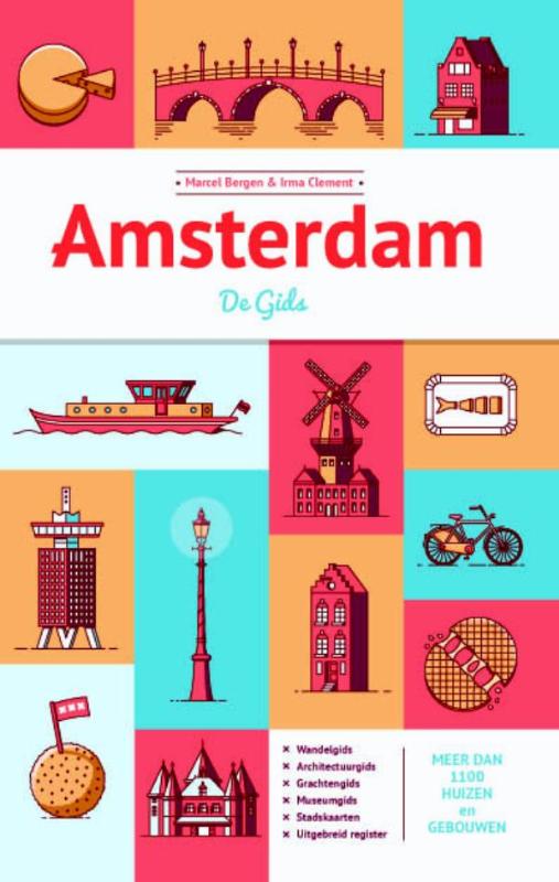
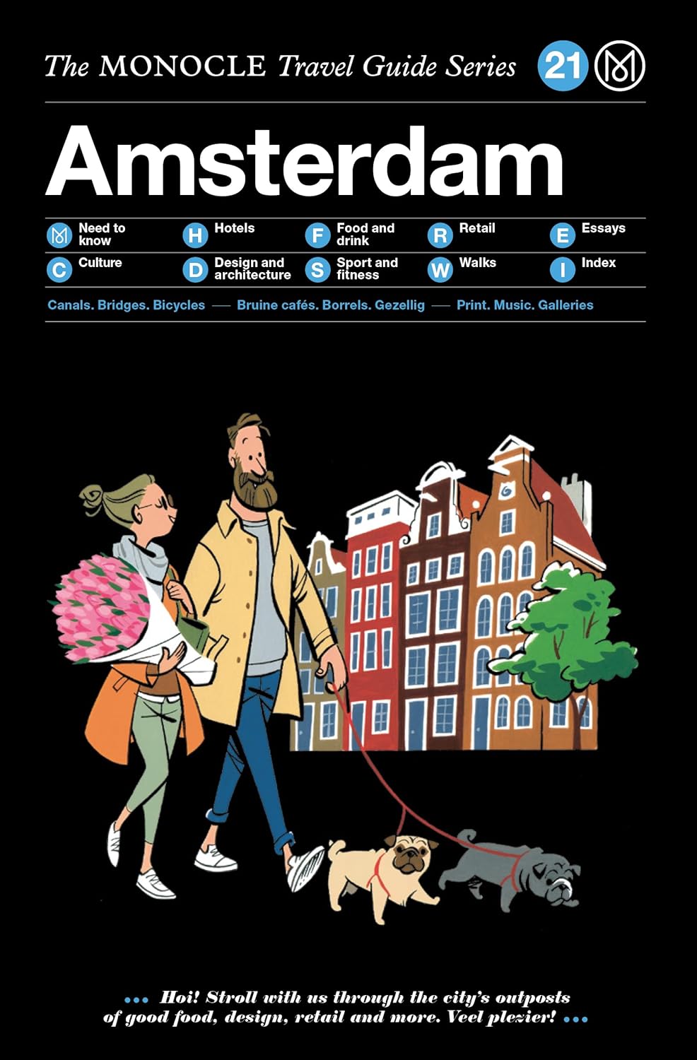
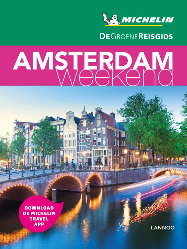
Gidsen en kaarten
Overnachting
Organisaties
Reisorganisaties
GPS
Anders
Boeken

De Zwerver
Netherlands
2016
Netherlands
2016
De Zwerver
Netherlands
2017
Netherlands
2017
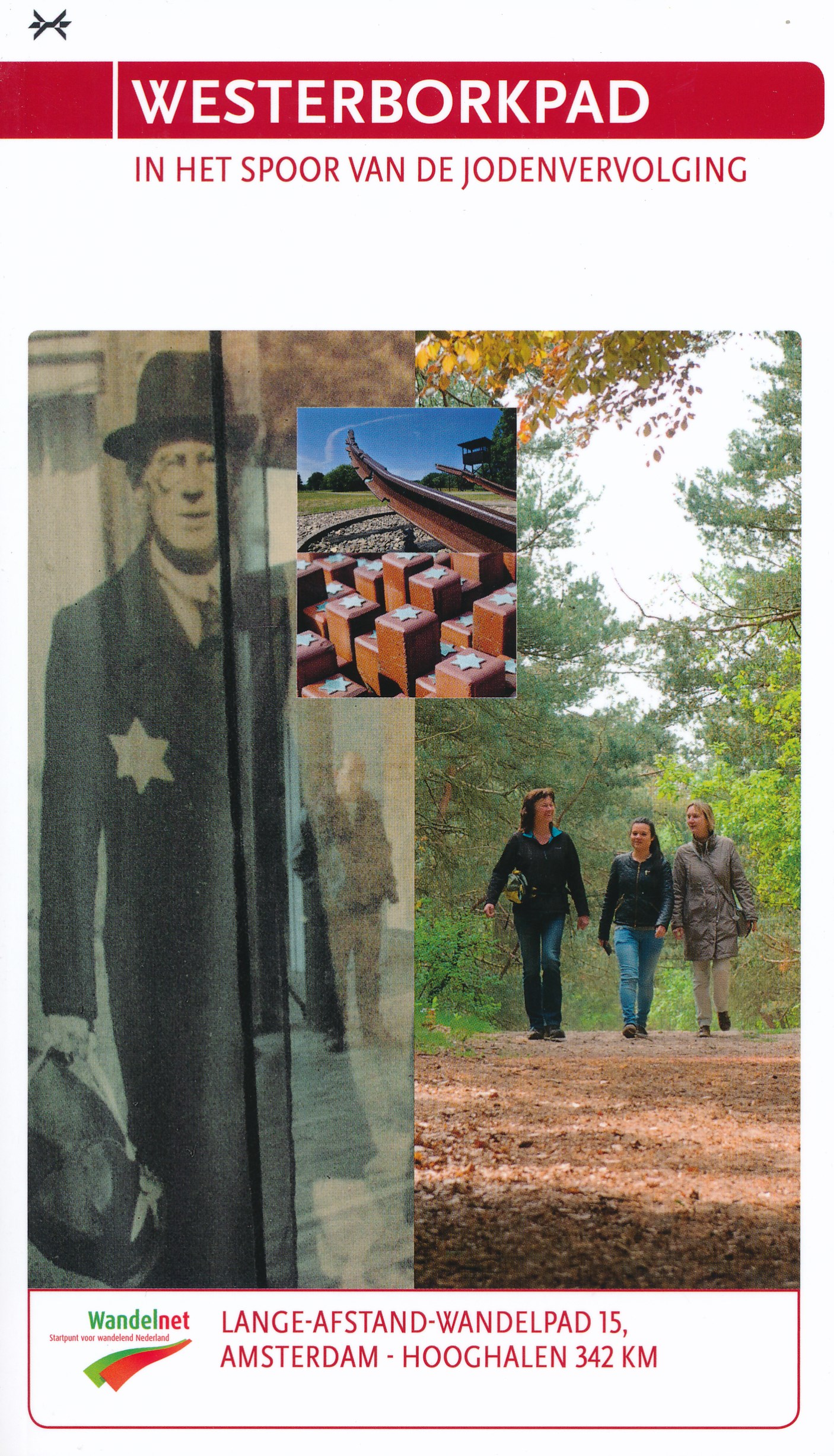
- Wandelgids 15 LAW Westerborkpad | Wandelnet
- In 2005 werd Jan Dokter uit Hoorn 70 jaar. Hij schreef in oktober van dat jaar: “Waarom wil ik 60 jaar na het vreselijke gebeuren met mijn eigen ogen de plaats zien vanwaar mijn familie is gedeporteerd naar vernietigingskampen?” Ter nagedachtenis aan zijn familieleden liep hij de route van de Hollandse Schouwburg in Amsterdam naar kamp... Read more


De Zwerver
Netherlands
2018
Netherlands
2018
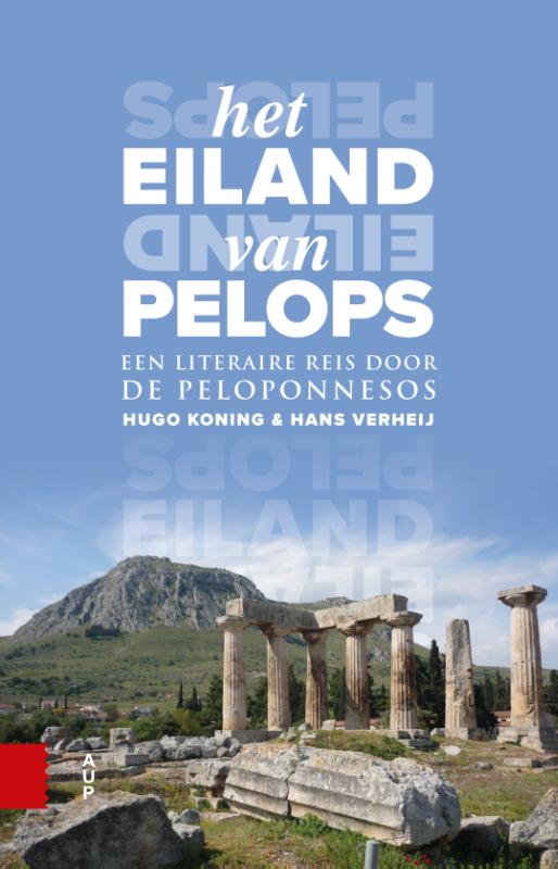
- Reisgids Het eiland van Pelops | Amsterdam University Press
- Het eiland van Pelops neemt je mee op een literaire (tijd)reis naar het grootste schiereiland van Griekenland: de Peloponnesos. Tekstfragmenten van auteurs en reizigers uit alle eeuwen — met name uit de Klassieke Oudheid maar ook uit latere tijden — bieden een authentieke blik op de bekende en minder bekende plaatsen van dit kleurrijke... Read more
De Zwerver
Netherlands
2009
Netherlands
2009
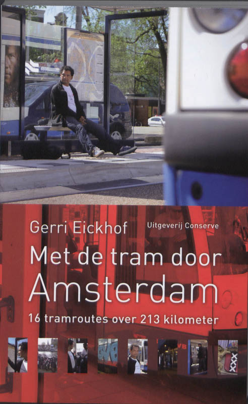
- Reisgids Met de tram door Amsterdam | Conserve
- Amsterdam is één van de kleinste hoofdsteden van Europa, maar heeft toch één van de meest uitgebreide tramnetwerken: 213 kilometer lang. Voor honderdduizenden vaste gebruikers dagelijks het aangewezen middel om hun bestemming in het centrum of aan de rand van de stad te bereiken. Voor de duizenden bezoekers is de tram als een... Read more
De Zwerver
Netherlands
2021
Netherlands
2021
De Zwerver
Netherlands
2023
Netherlands
2023

De Zwerver
Netherlands
2018
Netherlands
2018
- Reisgids De vereeuwigde stad | Amsterdam University Press
- Al sinds de Oudheid staat Rome bekend als de Eeuwige Stad. En terecht, want de stad herbergt talloze vroeg-Romeinse overblijfselen. Maar naast het fysieke Rome kennen we ook het Rome zoals dat is overgeleverd in de antieke literatuur. Talloze gebouwen die allang verloren zijn gegaan leven voort in deze teksten. In De vereeuwigde stad staan... Read more
Kaarten
De Zwerver
Netherlands
Netherlands
De Zwerver
Netherlands
Netherlands
De Zwerver
Netherlands
Netherlands
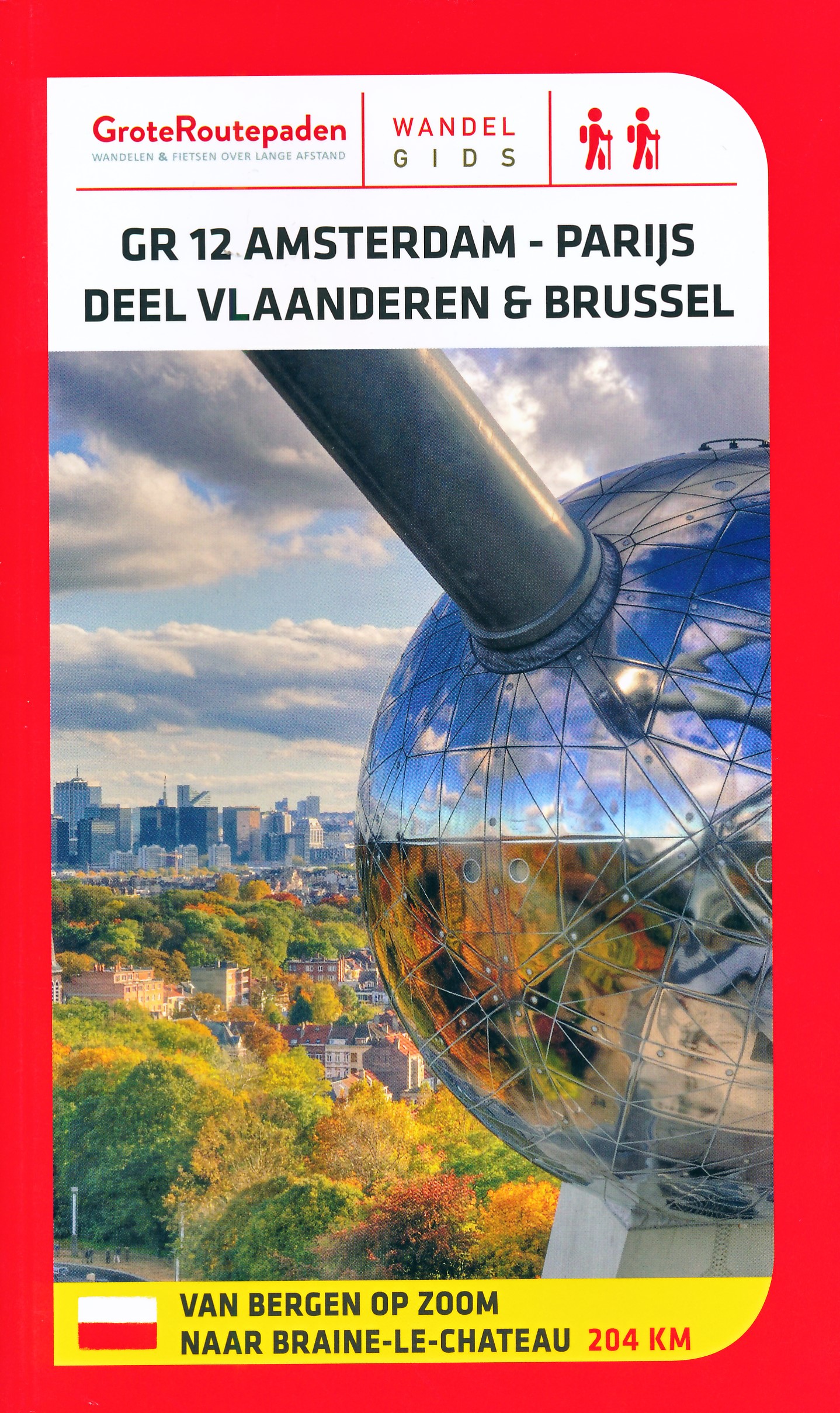
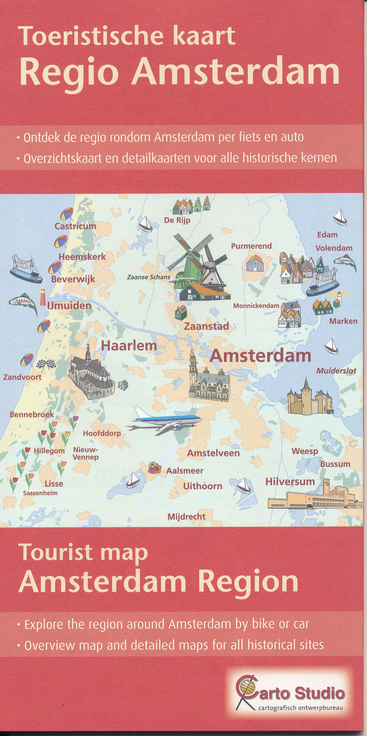
- Topografische kaart - Wandelkaart 25G Amsterdam | Kadaster
- De meest gedetailleerde kaart die via de verkoopkanalen verkrijgbaar is. Gemaakt door de Nederlandse Topografische dienst bevat deze kaart alle topografische elementen van het landschap en geeft daarmee een nauwkeurig beeld van het terrein. De meeste kaarten hebben een kaartbeeld dat overeenkomt met 12,5 x 10 kilometer in werkelijkheid. Naast... Read more

Stanfords
United Kingdom
United Kingdom
- NL4 Rijn en Maas Delta
- Passage ChartsC1 Zuidelijke Noordzeekust · Zeeland 1: 375.000 Coastal ChartsC2 West Schouwen tot Westhoofd 1 : 50.000 C3 Westhoofd tot Europoort 1 : 50.000 C4 Europoort · Maasgeul 1 : 30.000 C5 Nieuwe Waterweg · Maassluis 1 : 25.000 C6 Rotterdam West 1 : 25.000 C7 Rotterdam Oost 1 : 25.000 C8 Zwijndrecht · Dordrecht 1 : 20.000 C9 Brielsemeer... Read more

Stanfords
United Kingdom
2012
United Kingdom
2012
- Amsterdam Waterland
- Amsterdam Waterland on a waterproof, tear-resistant, GPS compatible walking map at 1:25,000 from Trage Paden, in a series of maps with extensive overprint for long-distance and local walking routes. GPS waypoints and route profiles are available for download from the publisher’s website.Contours used in this map series vary between 2,5 to 5m... Read more

Stanfords
United Kingdom
United Kingdom
- 2140 Rijn and Maas Delta Chart Atlas - 2018 edition SUPERCEDED
- Part of Imray’s popular small format chart coverage for the Netherlands, this atlas is a convenient A2 format, wirobound along one edge. Includes download code for more than 140 digital charts covering all of the Netherlands on the Imray Navigator charts app.Includes extensive coverage of Nieuwe Waterweg, Nieuwe- and Oude Maas, Brielse Meer,... Read more

Stanfords
United Kingdom
2012
United Kingdom
2012
- Amsterdam Amstelland
- Amsterdam Amstelland on a waterproof, tear-resistant, GPS compatible walking map at 1:25,000 from Trage Paden, in a series of maps with extensive overprint for long-distance and local walking routes. GPS waypoints and route profiles are available for download from the publisher’s website.Contours used in this map series vary between 2,5 to 5m... Read more

Stanfords
United Kingdom
United Kingdom
- 2140 Rijn and Maas Delta Chart Atlas - 2019 edition
- Part of Imray’s popular small format chart coverage for the Netherlands, this atlas is a convenient A2 format, wirobound along one edge. Includes extensive coverage of Nieuwe Waterweg, Nieuwe- and Oude Maas, Brielse Meer, Spui, Noord, Dortsche Kil, Hollandsch Diep, Haringvliet, Volkerak and Grevelingenmeer. Also included are approach charts to... Read more

Stanfords
United Kingdom
United Kingdom
- 2160 IJsselmeer Chart Atlas - 2019 edition
- Part of Imray’s popular small format chart coverage for the Netherlands, this atlas is a convenient A2 format, wirobound along one edge. Includes extensive coverage of the IJsselmeer, Markermeer and Randmeren, as well as the Nordzeekanaal from IJmuiden to Amsterdam.This 2019 edition has been fully updated throughout. The latest depth surveys... Read more

Stanfords
United Kingdom
United Kingdom
- Gooi & Vechtstreek: Hilversum - Amersfoort - Utrecht
- Gooi and Vechtstreek - a popular hiking area south-east of Amsterdam - on a light, double-sided, waterproof and tear-resistant, GPS-compatible maps at 1:25,000 from ANWB, the country’s main motoring and touring organization. Coverage on the northern side extends southwards from the historic town of Naarden, and west/east between the... Read more

Stanfords
United Kingdom
United Kingdom
- Netherlands Michelin
- Netherlands at 1:400,000 from Michelin, with information on driving regulations, a distance and journey time table, plus enlargements showing in greater detail road access to Amsterdam, The Hague and Rotterdam with the Europoort and Hoek Van Holland.Roads network includes local roads and is graded according to the number of lanes. Junctions... Read more

Stanfords
United Kingdom
United Kingdom
- Fen Rail (Vennbahn) Cycle Route
- The High Fens (Vennbahn) Cycle Route, a 230-km long cycle trail from Aachen across the Hoge Venen / Hautes Fagnes Natural Park in eastern Belgium and Luxembourg to Luxembourg City, presented by the Verlag Esterbauer in guide with maps at 1:50,000 showing the route and its variants. Extensive information is conveyed by symbols, indicating road... Read more