
Noord-Brabant
Beschrijving
Kaart

Paden in deze landsdeel
- Airbornepad Market GardenGPX
- Brabants GrensdijkjespadGPX
- Brabants VennenpadGPX
- Brabantse WalGPX
- E2GPX
- Floris V-padGPX
- GR12 - Amsterdam - ParisGPX
- GR5GPX
- GR561 - Kempen-MaaspadGPX
- GR565 - Renier SniederspadGPX
- GrenslandpadGPX
- Hertog HendrikpadGPX
- HertogenpadGPX
- Jacobsweg Amstelredam
- Jacobsweg Amsvorde
- Jacobsweg Nieumeghen
- Jacobsweg Thuredrecht
- KempenGPX
- Kempen-BroekGPX
- Maarten van RossumpadGPX
- Maas- en PeelliniepadGPX
- Peellandpad
- PelgrimspadGPX
- Rondom de Sint JanGPX
- Streekpad NijmegenGPX
- Via BrabanticaGPX
- Via MonasticaGPX
- WaterliniepadGPX
Links
Feiten
Verslagen
Gidsen en kaarten
Overnachting
Organisaties
Reisorganisaties
GPS
Anders
Boeken


De Zwerver
Netherlands
2012
Netherlands
2012
- Wandelgids S17 Streekpad Brabantse Wal | Wandelnet
- Als altijd weer een prachtig en helder uitgevoerde wandelgids met alle noodzakelijke informatie inclusief feiten als openbaar vervoer en accommodaties en andere nuttige adressen. Voorzien van de zeer goed leesbare topografische kaarten met schaal 1:25.000. Deze wandelgids van het regionale Lange Afstand Wandelpad door de provincie Brabant, van... Read more

De Zwerver
Netherlands
2021
Netherlands
2021

De Zwerver
Netherlands
2021
Netherlands
2021

De Zwerver
Netherlands
2014
Netherlands
2014
- Wandelgids 11 LAW Grenslandpad | Wandelnet
- Routegids met gedetailleerde topografische kaarten waar de route duidelijk op ingetekend is. Daarnaast alle noodzakelijke informatie als openbaar vervoer en overnachtingsadressen. Traject : Sluis-Thorn, lengte : 372 km Deze wandelgids van het Lange-Afstand-Wandelpad langs de grens met Belgie van Sluis naar Thorn (Zeeland, Noord-Brabant,... Read more

De Zwerver
Netherlands
2014
Netherlands
2014
- Wandelgids 901 Tours et traversées dans l'Ain GR9, GR9A, GR59 | FFRP
- Guide FFRandonnée Tours et Traversée dans l'ain. GR 59, 9, 9A. Etangs de la Dombes, monts et cluses du Revermont ou bocages de la Bresse. Plus de 50 jours de randonnée.Depuis les Monts du Jura, du Revermont ou du Bugey, ces itinéraires en boucle ou en ligne offrent aux randonneurs des vues imprenables. voici à l'est le Mont Blanc et les... Read more
- Also available from:
- Stanfords, United Kingdom

Stanfords
United Kingdom
2014
United Kingdom
2014
- GR59/GR9/GRP: Tours et Traversées de l`Ain FFRP Topo-guide No. 901
- Tours et Traversées de l`Ain, FFRP topoguide, Ref. No. 901, covering in all 949km of hiking trails in the French Jura between Lons-le-Saunier and the confluence of the Ain and the Rhône, including sections of GR 5, 9 and 9A. Current edition of this title was published in June 2014.ABOUT THE FFRP (Fédération française de la randonnée pédestre)... Read more
De Zwerver
Netherlands
2019
Netherlands
2019

De Zwerver
Netherlands
2015
Netherlands
2015
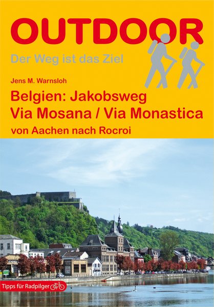
- Wandelgids - Pelgrimsroute 139 Belgien: Via Mosana / Via Monastica | Conrad Stein Verlag
- Handzaam boekje met de routebeschrijving inclusief een heleboel praktische informatie. De beschrijving is uitstekend, maar kaarten zijn beperkt en schetsmatig aanwezig. Duits. In diesem Buch wird mit der „Via Mosana“ einer der belgischen Jakobswege beschrieben. Der gut 300 km lange Weg führt vom Dom in Aachen über Lüttich bis nach Rocroi in... Read more
De Zwerver
Netherlands
2018
Netherlands
2018
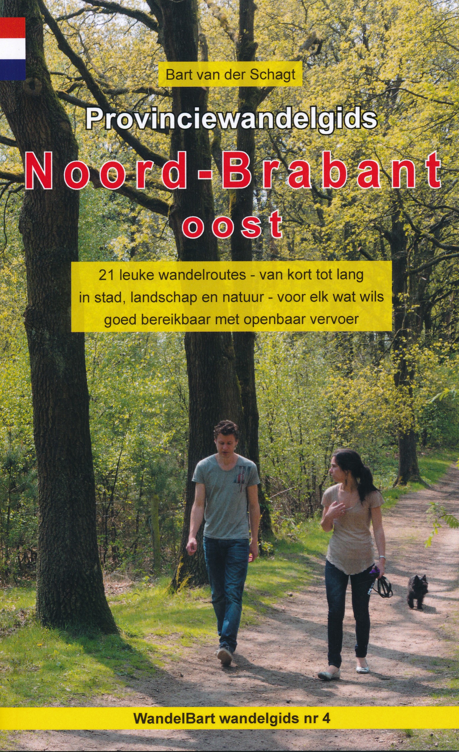
- Wandelgids 4 Provinciewandelgids Noord-Brabant oost | Anoda Publishing
- De 21 wandelroutes in dit boekje zijn zeer divers: een leuke groene stadswandeling door Eindhoven en talrijke wandeltochten door het zeer gevarieerde landschap van het oostelijk deel van Noord-Brabant. De wandelingen gaan door stille bossen, over uitgestrekte heidevelden, door het kleinschalige Brabantse boerenland en over leuke paadjes langs... Read more
De Zwerver
Netherlands
2018
Netherlands
2018
Meer boeken…
Kaarten
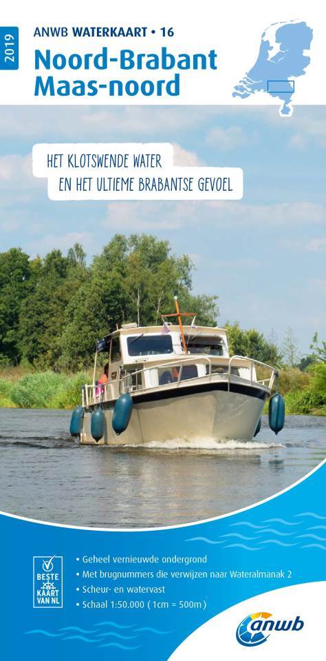
De Zwerver
Netherlands
Netherlands
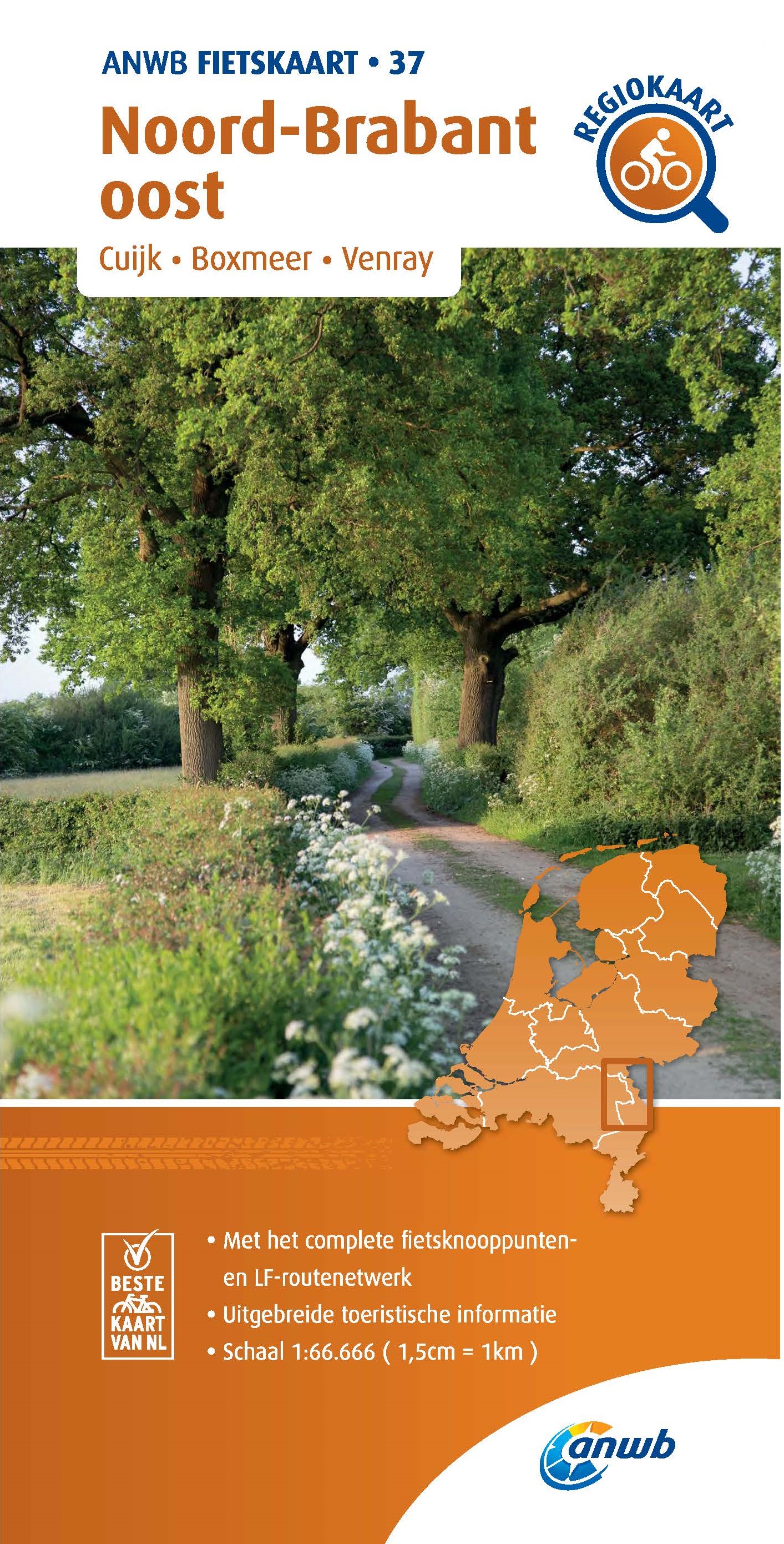
De Zwerver
Netherlands
Netherlands

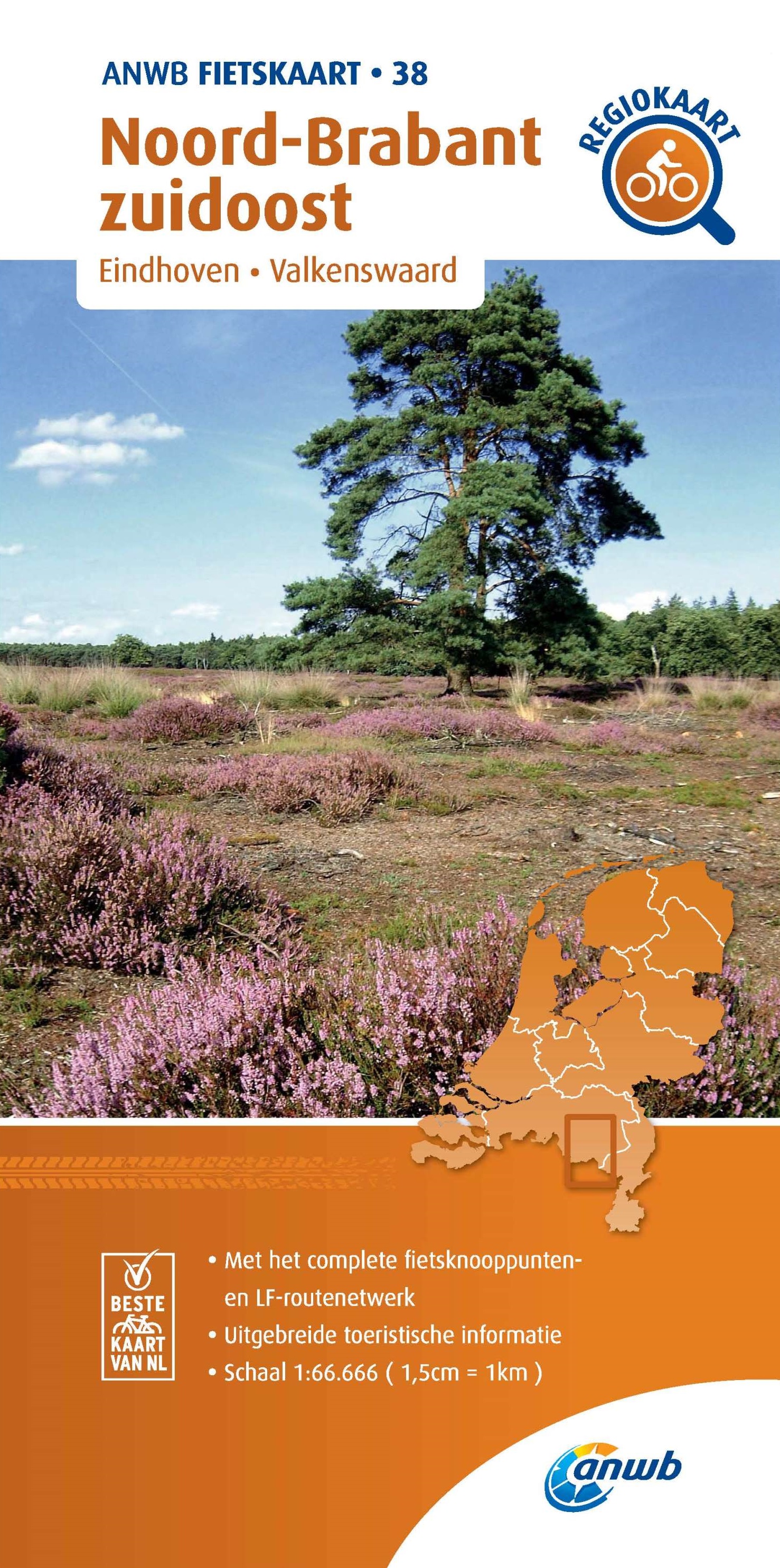
De Zwerver
Netherlands
Netherlands
- Wandelkaart 05 Outdoorkarte FR Elsass - Colmar - Sélestat - Elzas | Kümmerly & Frey
- The central part of Alsace around Colmar and Sélestat on a GPS compatible, double-sided map at 1:50,000 from Kümmerly+Frey printed on sturdy, waterproof and tear-resistant synthetic paper; contoured, with hiking and cycling routes, sites for other recreational activities, various accommodation options, restaurants and ferme-auberge locations,... Read more
- Also available from:
- Stanfords, United Kingdom

Stanfords
United Kingdom
United Kingdom
- Alsace - Colmar - Sélestat - Freiburg im Breisgau - Lahr K+F Outdoor Map 5
- The central part of Alsace around Colmar and Sélestat on a GPS compatible, double-sided map at 1:50,000 from Kümmerly+Frey printed on sturdy, waterproof and tear-resistant synthetic paper; contoured, with hiking and cycling routes, sites for other recreational activities, various accommodation options, restaurants and ferme-auberge locations,... Read more
De Zwerver
Netherlands
Netherlands

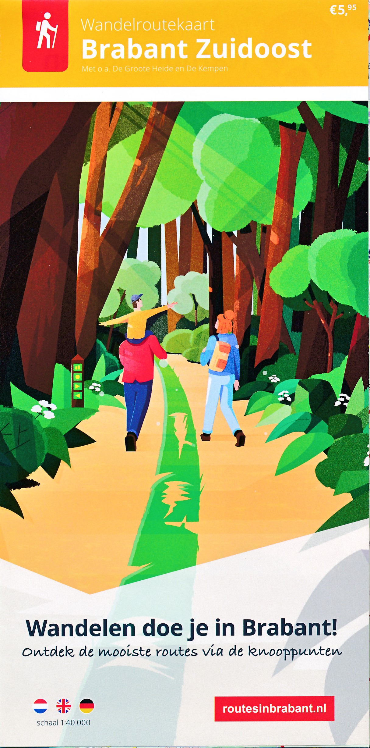
De Zwerver
Netherlands
Netherlands
- Wandelkaart 07 Outdoorkarte FR Elsass, Vogesen - Alsace, Strasbourg Elzas - Vogezen | Kümmerly & Frey
- The central part of Alsace around Strasbourg and Saverne on a GPS compatible, double-sided map at 1:50,000 from K Read more
- Also available from:
- Stanfords, United Kingdom

Stanfords
United Kingdom
United Kingdom
- Alsace - Strasbourg - Saverne - Barr - Offenburg K+F Outdoor Map 7
- The central part of Alsace around Strasbourg and Saverne on a GPS compatible, double-sided map at 1:50,000 from Kümmerly+Frey printed on sturdy, waterproof and tear-resistant synthetic paper; contoured, with hiking and cycling routes, sites for other recreational activities, various accommodation options, restaurants and ferme-auberge... Read more


De Zwerver
Netherlands
2014
Netherlands
2014
- Wandelkaart 07 Mercantour & Alpi-Maritieme | Didier Richard
- Mercantour National Park and the Maritime Alps on a large, double-sided, contoured and GPS compatible map from Editions Didier Richard highlighting local walking trails and long-distance hiking routes including the GR5. Coverage extends from well north of Col de Larch to Sospel, Levens and Roquestéron in the mountains north of the French... Read more
- Also available from:
- Stanfords, United Kingdom

Stanfords
United Kingdom
2014
United Kingdom
2014
- Mercantour & Alpi-Marittime Didier Richard 07
- Mercantour National Park and the Maritime Alps on a large, double-sided, contoured and GPS compatible map from Editions Didier Richard highlighting local walking trails and long-distance hiking routes including the GR5. Coverage extends from well north of Col de Larch to Sospel, Levens and Roquestéron in the mountains north of the French... Read more


De Zwerver
Netherlands
2016
Netherlands
2016
- Wandelkaart 04 Vanoise - Beaufortain | Didier Richard
- Vanoise National Park and the Beaufortain Massif in the French Alps at 1:60,000 on a contoured and GPS compatible map from Didier Richard with a base derived from IGN Read more
- Also available from:
- Stanfords, United Kingdom

Stanfords
United Kingdom
2016
United Kingdom
2016
- Vanoise National Park - Beaufortain Didier Richard 04
- Vanoise National Park and the Beaufortain Massif in the French Alps at 1:60,000 on a contoured and GPS compatible map from Didier Richard with a base derived from IGN’s topographic survey, highlighting both local hiking routes and the GR network of long-distance paths, gîtes and mountain refuges, interesting natural and cultural sites, etc. The... Read more
De Zwerver
Netherlands
2013
Netherlands
2013