
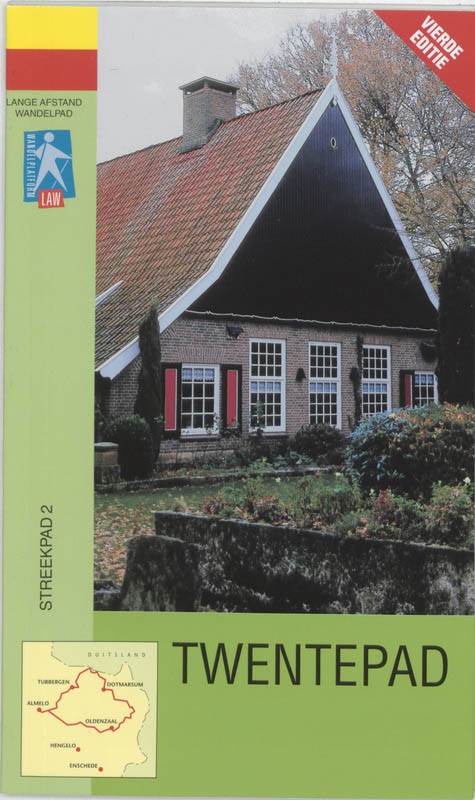
Twentepad
Beschrijving
- Name Twentepad (SP2)
- Lengte van pad 87 km, 54 mijl
- Lengte in dagen 4 dagen
- Start van pad Almelo
- Einde van pad Almelo
- Traildino graad LW, Lichte wandeling, landelijke wandeling
 SP2, Twentepad, Circular trail through North Eastern Twente, 87 km
A path in the east of the Netherlands. This circular and regional path is created by the Stichting Wandelnet and it is possible to walk it in four days. The walk is marked yellow-red.
The landscape of Twente is characterized by hedgerows, heathland, "esdorpen" (villages on raised sandgrounds with a system of common grounds and private fields) streams, old water mills and farms. In contrast to the open landscapes of the west of the Netherlands, the east of the country is more enclosed. The eastern loop of this hike runs through the scenically most attractive part between Oldenzaal and Denekamp. Here you can find some interesting heaths and moors. Accommodation can be found in the many villages one passes.
Kaart


Links
Feiten
Verslagen
Gidsen en kaarten
Overnachting
Organisaties
Reisorganisaties
GPS
Anders
Boeken
Netherlands
2005
- Wandelgids S2 Streekpad Twentepad | Wandelnet
- Routegids met gedetailleerde topografische kaarten waar de route duidelijk op ingetekend is. Daarnaast alle noodzakelijke informatie als openbaar vervoer en overnachtingsadressen. Traject : Noordoost-Twente / Lengte : 87 km Het Twentepad biedt een goed beeld van de gevarieerdheid van de Twentse noordoosthoek: havezathes en landgoederen als... Read more
Kaarten

United Kingdom
- La Spezia Province: Golfo della Spezia - Val di Marga 25K Ed. Multigraphic Map No. SP2
- The Gulf of La Spezia and Val di Magra, the eastern part of the La Spezia Province, presented at 1:25,000 on a contoured and GPS compatible map from Edizioni Multigraphic showing local paths with their official numbers, long distance routes, etc. Contours at 20m intervals with relief shading and plenty of spot heights show the topography. Local... Read more