
Breheimen
Beschrijving

Breheimen is a mountainous area west of Jotunheimen, and is a popular hiking destination. The region is very varied with great contrasts between the lush valleys and the mountain tops. It's wildness is comparable to that of Jotunheimen, even if the mountains do not raise to the same heights. Moreover, the region offers fjords, most notably the Sognefjord, marking the southern boundary of Breheimen.
The biggest asset of Breheimen is of course Europe's largest mainland glacier, the Jostedalsbreen. This glacier is that large that it even rises above the surrounding mountains. Impressive ice tongues tumble from its sides into the steep valleys and fjords; a main tourist attraction. It is possible to cross the glacier. Unless you are an experienced mountaineer with adequate equipment, you should not try to do this on your own. Better join a guided tour, available from the surrounding towns.
Around the glacier you will find several huts and hotels. The mountains between Jostedalsbreen and Jotunheimen – Breheimen proper – are serviced by a network of mainly DNT self-service huts. So, a small backpack suffices.
Kaart

Links
Feiten
Verslagen
Gidsen en kaarten
Overnachting
Organisaties
Reisorganisaties
GPS
Anders
Kaarten
Netherlands
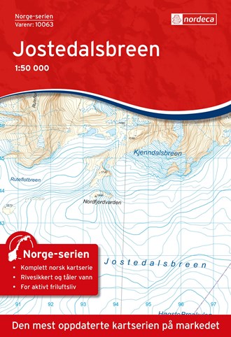
- Wandelkaart - Topografische kaart 10063 Norge Serien Jostedalsbreen | Nordeca
- Een compleet nieuwe serie topografische kaarten voor Noorwegen 1:50 000. Het heeft een moderne cartografie, ontwikkeld voor het actieve buitenleven. Deze kaarten zijn ideaal voor wandel-en recreatief gebruik in de bergen, bossen, langs de kust en voor de jacht en de visserij. Voor professionele organisaties bieden de kaarten de nodige kennis... Read more
Netherlands
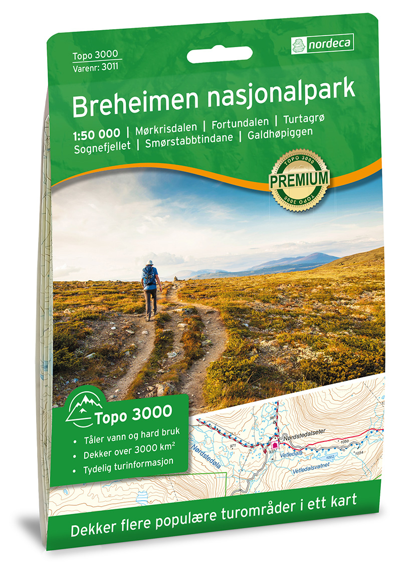
- Wandelkaart 3011 Topo 3000 Breheimen | Nordeca
- Een nieuwe serie van Nordeca. Een grote kaart op scheurvast papier. Het heldere kaartbeeld wat we van de andere series ook kennen is hier gebruikt wat de kaart goed leesbaar maakt. Topo 3000 is a detailed map covering an area of 64 x 47 km (over 3000 km2) Here you will find the hiking routes easily, over the mountains, through the forest and... Read more
Netherlands
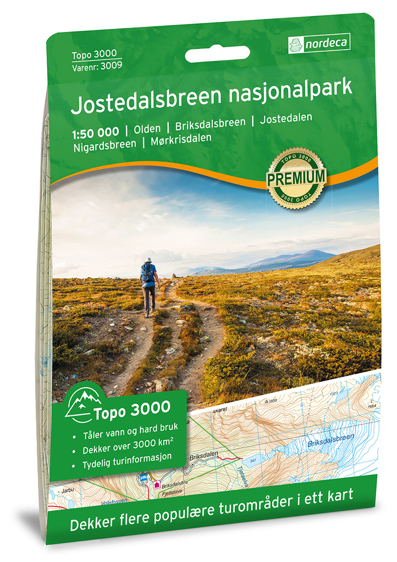
- Wandelkaart 3009 Topo 3000 Jostedalsbreen | Nordeca
- Een nieuwe serie van Nordeca. Een grote kaart op scheurvast papier. Het heldere kaartbeeld wat we van de andere series ook kennen is hier gebruikt wat de kaart goed leesbaar maakt. Topo 3000 is a detailed map covering an area of 64 x 47 km (over 3000 km2) Here you will find the hiking routes easily, over the mountains, through the forest and... Read more
Netherlands
2023

United Kingdom
- Jostedalsbreen Nordeca 10063
- Map No. 10062, Sandane, in the new topographic survey of Norway at 1:50,000 covering the country on 195 double-sided sheets and first published by Nordeca in 2011 - 2012; fully GPS compatible, indicating waymarked footpaths, campsites, tourist huts, illuminated ski runs, etc.The maps, now published by Nordeca, the successors to Statens Kartverk... Read more

United Kingdom
- Southern Norway North - Oslo - Bergen - Rondvassbu - Galdhopiggen Cappelen Sectional Road Map
- Southern Norway North: Oslo - Bergen - Sognefjord - Ålesund region at 1:335,000 from Cappelen, covering several national parks including Jotunheimen and Rondane (both also shown on contoured enlargements), plus city maps of central Oslo and the Bergen area.Coverage extends from Oslo and the Hardangervidda NP northwards to Ålesund and Røros and... Read more