
Hardangervidda
Beschrijving

Hardangervidda is a high altitude mountain plateau in the west of Norway. Its vast expanses – the largest such Alpine plateau in Europe – makes it a fantastic place for those who like to wander around endlessly. The area is one of the most popular hiking areas of Norway and should be mentioned along with Jotunheimen and Rondane.
The area differs from Jotunheimen, for instance, in the absence of deep valleys and high peaks. The majority of the area lies between 1000 and 1250 meters altitude. There are the occasional outliers, like Hårteigen (1681) and Hardangerjøkulen (1876, glacier). The ice left countless lakes.
For nature lovers, the Hardangervidda has a lot to offer: a special flora and many rare breeding birds. Another interesting feature is that the whole area lies above the tree line. Elsewhere in Norway, mountains are intersected by wooded valleys. But Hardangervidda is rather barren, only comparible to the tundra north of the Arctic Circle.
Walking in this area is facilitated by the dozens of huts - staffed and self-service - interspersed with well-marked trails. Apart from the DNT huts there are dozens of private cabins in and around the area. Membership in DNT is of course a must.
Anyone can plot his own route. Some pretty obvious routes start in Rjukan and then cross to the northwest in about a week time, finishing in Kinsarvik. A longer route of about 9 days starts in Finse (north of the plateau) and runs south to Haukeliseter or Røldal. There are many other possibilities.
Kaart

Links
Feiten
Verslagen
Gidsen en kaarten
Overnachting
Organisaties
Reisorganisaties
GPS
Anders
Boeken

Netherlands
2014
- Walking in Norway
- This book describes 20 walking routes in the mains mountain areas of Norway, ranging from the far south to the Arctic regions. Here you will find mountains relatively free from crowds, and few roads criss-crossing the remote landscape; within this ideal setting for walkers, cairned routes twist through splendid scenery and link up with... Read more
- Also available from:
- Bol.com, Belgium
Belgium
2014
- Walking in Norway
- This book describes 20 walking routes in the mains mountain areas of Norway, ranging from the far south to the Arctic regions. Here you will find mountains relatively free from crowds, and few roads criss-crossing the remote landscape; within this ideal setting for walkers, cairned routes twist through splendid scenery and link up with... Read more
Netherlands
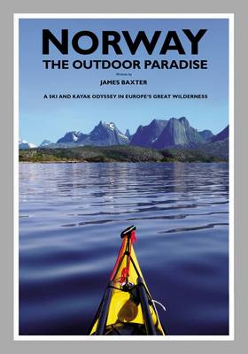
- Norway the Outdoor Paradise
- This book is the story of James Baxter's 2700 kilometre ski up the entire length of Norway, followed by his 3100 kilometre kayak down the whole of Norway's coast. This eight month journey took him through Europe's most pristine natural wonders; the empty snow-covered spine of Scandinavia's mountain chain, the Arctic taiga forests and tundra,... Read more
- Also available from:
- Bol.com, Belgium
Belgium
- Norway the Outdoor Paradise
- This book is the story of James Baxter's 2700 kilometre ski up the entire length of Norway, followed by his 3100 kilometre kayak down the whole of Norway's coast. This eight month journey took him through Europe's most pristine natural wonders; the empty snow-covered spine of Scandinavia's mountain chain, the Arctic taiga forests and tundra,... Read more
Kaarten
Netherlands
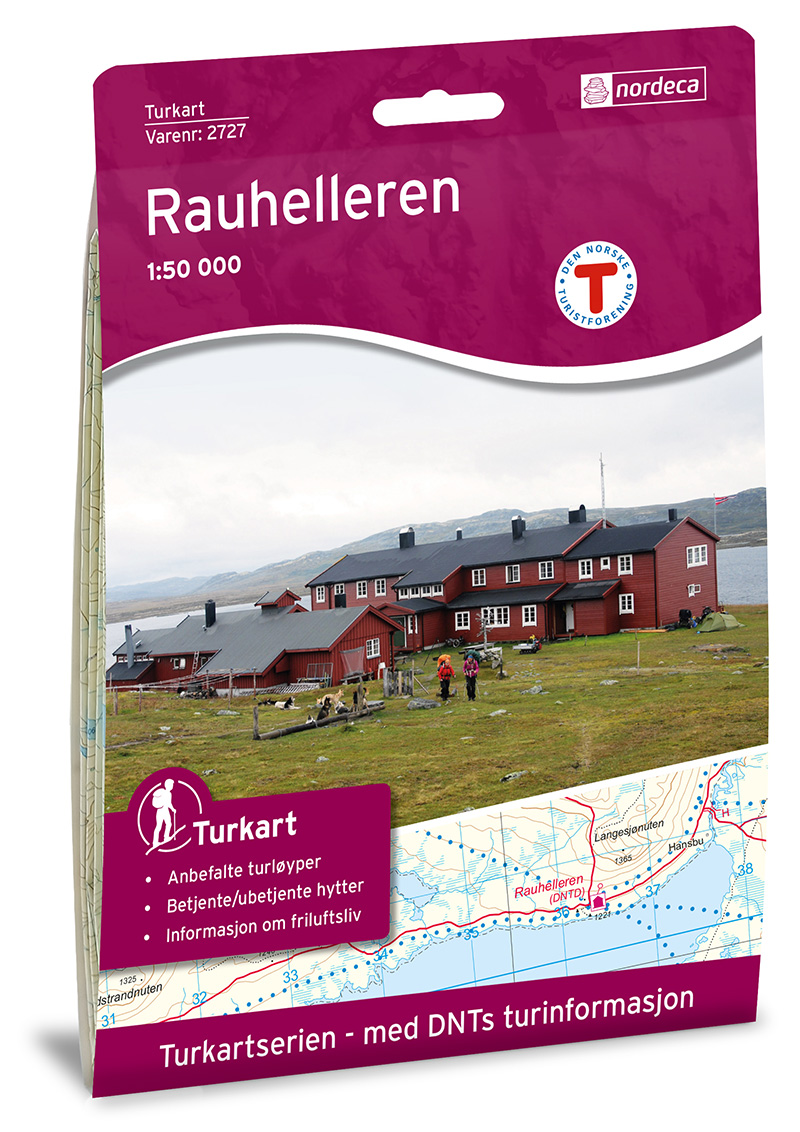
- Wandelkaart 2727 Turkart Rauhelleren | Nordeca
- Uitstekende wandelkaart van een deel van Noorwegen. De Noren zelf gebruiken deze kaarten ook voor hun wandeltochten in de berggebieden. Afhankelijk van de moeilijkheidsgraad van het gebied voldoet een 1:25.000, 1:50.000 of 1:100.000 kaart. Alle noodzakelijke informatie vind je er op terug: bemande en onbemande hutten, campings,... Read more
Netherlands
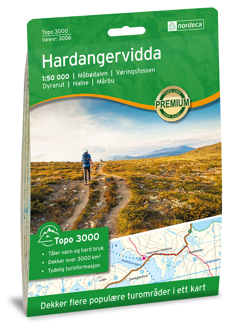
- Wandelkaart 3006 Topo 3000 Hardangervidda | Nordeca
- Een nieuwe serie van Nordeca. Een grote kaart op scheurvast papier. Het heldere kaartbeeld wat we van de andere series ook kennen is hier gebruikt wat de kaart goed leesbaar maakt. Topo 3000 is a detailed map covering an area of 64 x 47 km (over 3000 km2). Here you will find the hiking routes easily, over the mountains, through the forest and... Read more
Netherlands
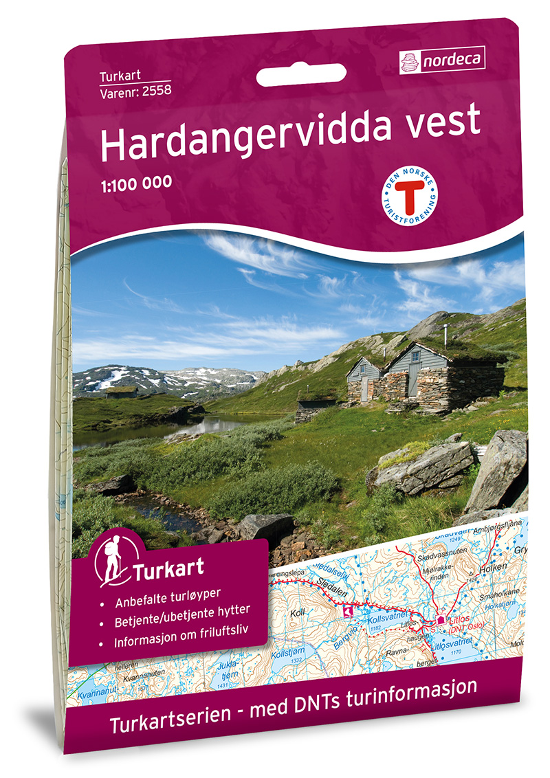
- Wandelkaart 2558 Turkart Hardangervidda Vest | Nordeca
- Uitstekende wandelkaart van een deel van Noorwegen. De Noren zelf gebruiken deze kaarten ook voor hun wandeltochten in de berggebieden. Afhankelijk van de moeilijkheidsgraad van het gebied voldoet een 1:25.000, 1:50.000 of 1:100.000 kaart. Alle noodzakelijke informatie vind je er op terug: bemande en onbemande hutten, campings,... Read more
Netherlands
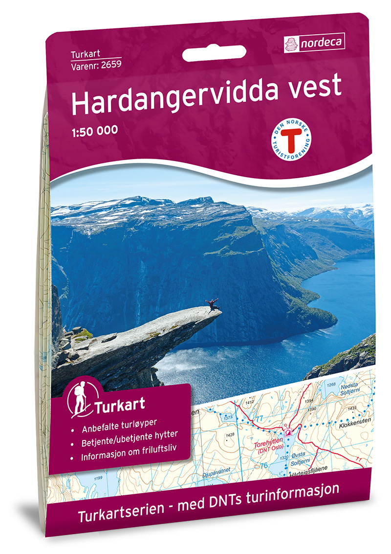
- Wandelkaart 2659 Turkart Hardangervidda Vest | Nordeca
- Uitstekende wandelkaart van een deel van Noorwegen. De Noren zelf gebruiken deze kaarten ook voor hun wandeltochten in de berggebieden. Afhankelijk van de moeilijkheidsgraad van het gebied voldoet een 1:25.000, 1:50.000 of 1:100.000 kaart. Alle noodzakelijke informatie vind je er op terug: bemande en onbemande hutten, campings,... Read more
Netherlands
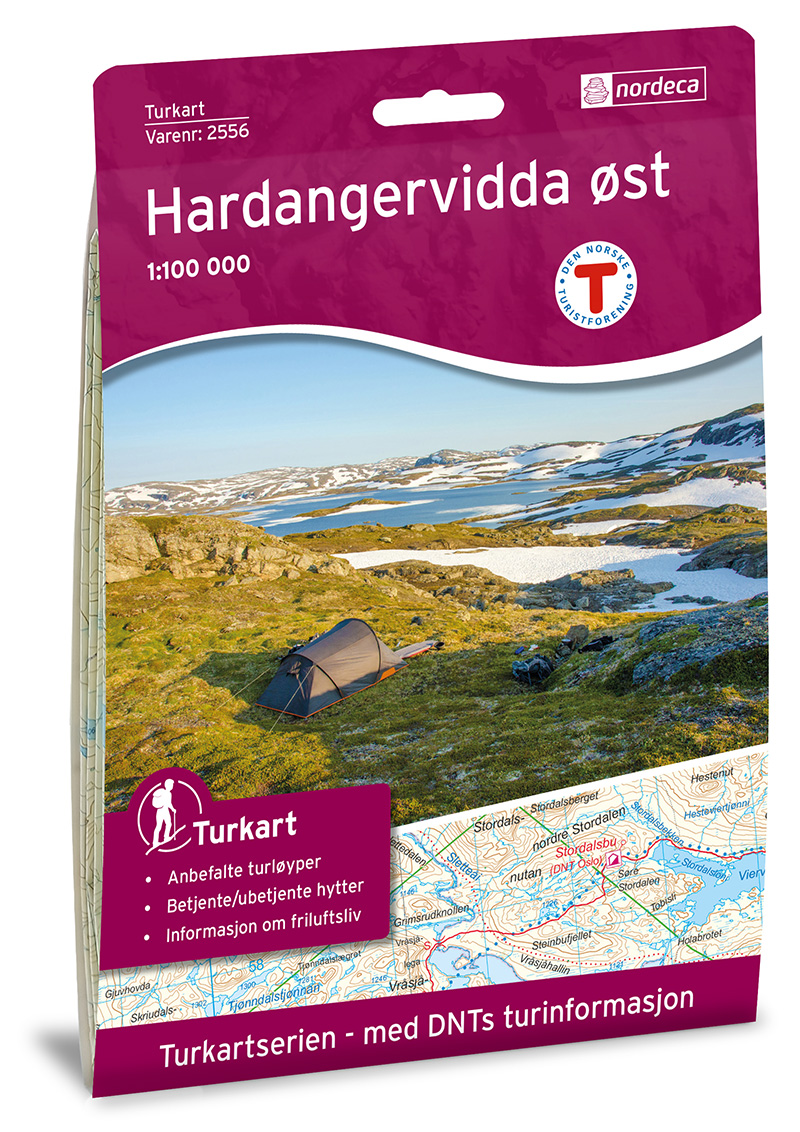
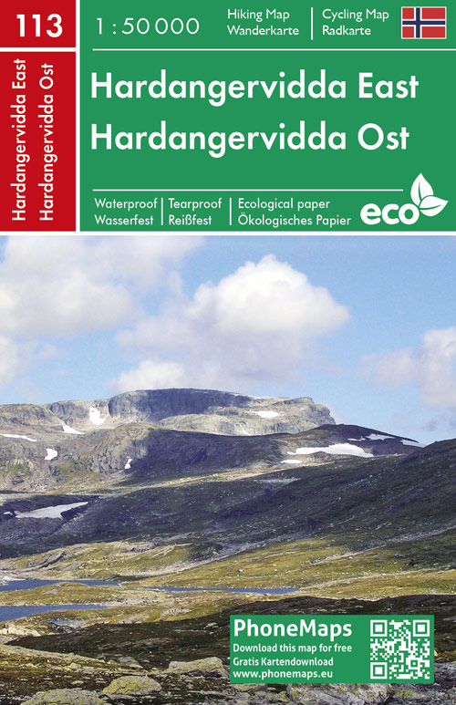
- Wandelkaart 2556 Turkart Hardangervidda Øst | Nordeca
- Uitstekende wandelkaart van een deel van Noorwegen. De Noren zelf gebruiken deze kaarten ook voor hun wandeltochten in de berggebieden. Afhankelijk van de moeilijkheidsgraad van het gebied voldoet een 1:25.000, 1:50.000 of 1:100.000 kaart. Alle noodzakelijke informatie vind je er op terug: bemande en onbemande hutten, campings,... Read more
Netherlands
Netherlands
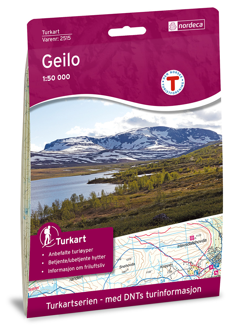
- Wandelkaart 2515 Turkart Geilo | Nordeca
- Gebied: Hardangervidda, Ål; Nore og Uvdal, Hol Uitstekende wandelkaart van een deel van Noorwegen. De Noren zelf gebruiken deze kaarten ook voor hun wandeltochten in de berggebieden. Afhankelijk van de moeilijkheidsgraad van het gebied voldoet een 1:25.000, 1:50.000 of 1:100.000 kaart. Alle noodzakelijke informatie vind je er op terug: bemande... Read more
Netherlands
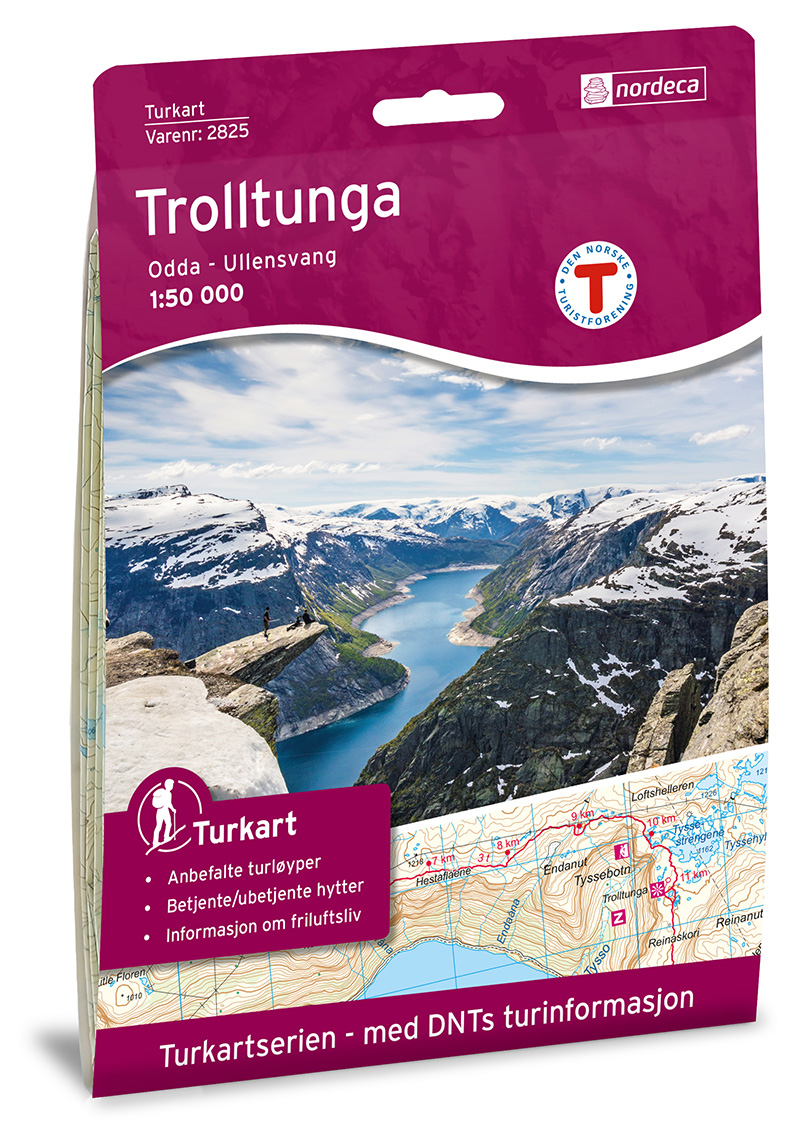
- Wandelkaart 2825 Turkart Trolltunga | Nordeca
- Uitstekende wandelkaart van een deel van Noorwegen. De Noren zelf gebruiken deze kaarten ook voor hun wandeltochten in de berggebieden. Afhankelijk van de moeilijkheidsgraad van het gebied voldoet een 1:25.000, 1:50.000 of 1:100.000 kaart. Alle noodzakelijke informatie vind je er op terug: bemande en onbemande hutten, campings,... Read more
Netherlands
2022
Netherlands
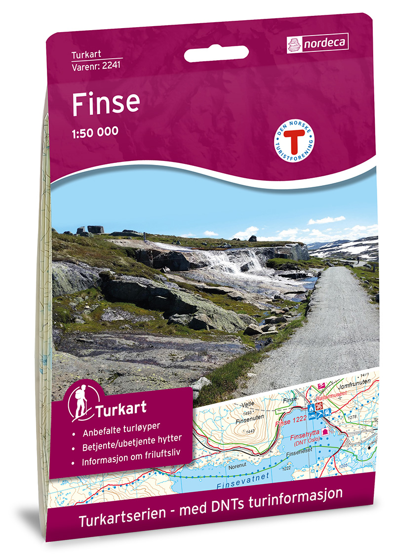
- Wandelkaart 2241 Turkart Finse | Nordeca
- Gebied: Hardangervidda Uitstekende wandelkaart van een deel van Noorwegen. De Noren zelf gebruiken deze kaarten ook voor hun wandeltochten in de berggebieden. Afhankelijk van de moeilijkheidsgraad van het gebied voldoet een 1:25.000, 1:50.000 of 1:100.000 kaart. Alle noodzakelijke informatie vind je er op terug: bemande en onbemande hutten,... Read more
Netherlands
2022
Netherlands
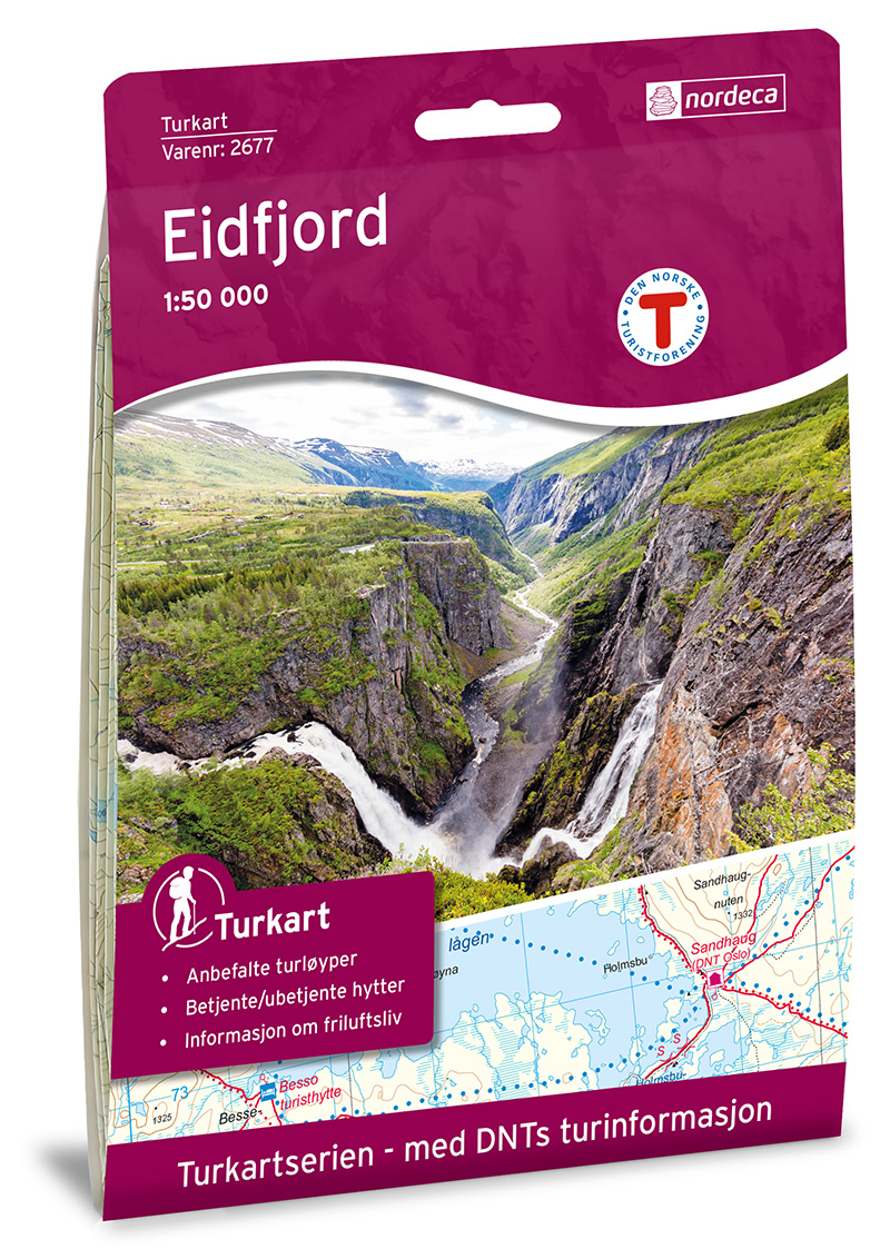
- Wandelkaart 2677 Turkart Eidfjord | Nordeca
- Gebied: Noord Hardangervidda met Nordmannslågen en Hardangerjøkulen Uitstekende wandelkaart van een deel van Noorwegen. De Noren zelf gebruiken deze kaarten ook voor hun wandeltochten in de berggebieden. Afhankelijk van de moeilijkheidsgraad van het gebied voldoet een 1:25.000, 1:50.000 of 1:100.000 kaart. Alle noodzakelijke informatie vind je... Read more
Netherlands
- Wandelkaart - Wegenkaart - landkaart Hardangervidda | Projekt Nord
- Een éénzijdige overzichtskaart van de hele Hardangervidda met alle doorgaande wandelpadne en berghutten duidelijk vermeld. Ondanks de grove schaal is deze kaart toch goed te gebruiken voor deze tochten. Topaktuelle detaillierte topographische touristische Landkarte der Hardangervidda in Norwegen (touristische topographische Landkarte). Mit... Read more
- Also available from:
- Bol.com, Netherlands
- Bol.com, Belgium
Netherlands
- Hardangervidda 1 : 150 000
- Een éénzijdige overzichtskaart van de hele Hardangervidda met alle doorgaande wandelpadne en berghutten duidelijk vermeld. Ondanks de grove schaal is deze kaart toch goed te gebruiken voor deze tochten. Topaktuelle detaillierte topographische touristische Landkarte der Hardangervidda in Norwegen (touristische topographische Landkarte). Mit... Read more
Belgium
- Hardangervidda 1 : 150 000
- Een éénzijdige overzichtskaart van de hele Hardangervidda met alle doorgaande wandelpadne en berghutten duidelijk vermeld. Ondanks de grove schaal is deze kaart toch goed te gebruiken voor deze tochten. Topaktuelle detaillierte topographische touristische Landkarte der Hardangervidda in Norwegen (touristische topographische Landkarte). Mit... Read more