
Rondane
Beschrijving

Rondane is one of the best known hiking areas in Norway. It lies to the north of Lillehammer and is easily accessible by train. Rondane National Park, established in 1962, counts 10 mountains over 2000 meters. Rondslottet (Round Castle) is the highest (2178m) and most famous one.
Due to the relatively infertile soils, the mountains of Rondane have a sparse vegetation The vastness and emptiness of these mountains is impressive. The effects of the last ice age are easily recognizable. It's a beautiful area.
Two hiking routes are obvious. The first route runs from east to west, from Alvdal to Hjerkinn. The second route starts at Lillehammer and runs north to Hjerkinn. During the first days, the threatening dark mountains of Rondane gradually grow. In both cases, the walk will take about a week. Many well marked trails offer plenty of variety. It is possible to climb some of the peaks without need for special materials.
Well known full service DNT huts are Rondvassbu, Bjørnhollia and Grymsdalshytta. In between are numerous self-service huts. Another 20 private huts are situated especially at the edges of the area.
Kaart


Links
Feiten
Verslagen
Gidsen en kaarten
Overnachting
Organisaties
Reisorganisaties
GPS
Anders
Boeken
Netherlands
2014
- Reisgids Norwegen: Nordkap-Route - Noorwegen Noordkaap | Conrad Stein Verlag
- Der Weg ist das Ziel OutdoorHandbuch. 6. Auflage. Read more
Netherlands
2023

Netherlands
2014
- Walking in Norway
- This book describes 20 walking routes in the mains mountain areas of Norway, ranging from the far south to the Arctic regions. Here you will find mountains relatively free from crowds, and few roads criss-crossing the remote landscape; within this ideal setting for walkers, cairned routes twist through splendid scenery and link up with... Read more
- Also available from:
- Bol.com, Belgium
Belgium
2014
- Walking in Norway
- This book describes 20 walking routes in the mains mountain areas of Norway, ranging from the far south to the Arctic regions. Here you will find mountains relatively free from crowds, and few roads criss-crossing the remote landscape; within this ideal setting for walkers, cairned routes twist through splendid scenery and link up with... Read more
- Also available from:
- Bol.com, Belgium
Netherlands
2017
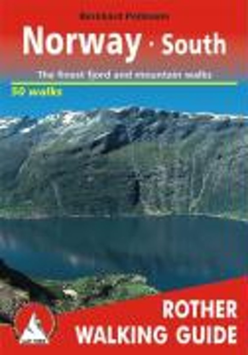
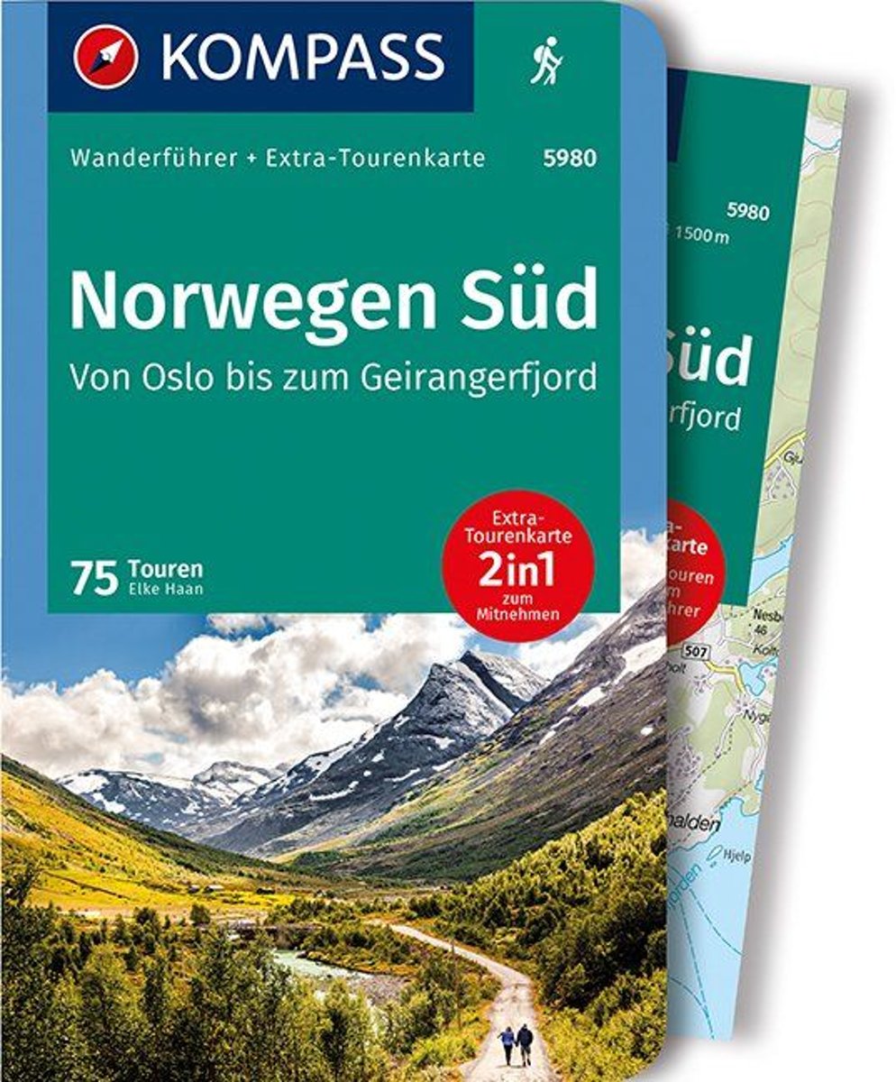
- WF5980 Norwegen Süd, von Oslo bis zum Geirangerfjord,mit Karte Kompass
- De Kompass wandelgids + kaart geeft een overzicht van alle wandelroutes in het gebied met nauwkeurige routeaanwijzingen en hoogteaanduidingen, De extra grote kaart, schaal 1:35 000, is ideaal om van te voren uw route uit te stippelen en om onderweg te gebruiken; naast de bekende bestemmingen, worden ook de minder bekende vermeld; openbaar... Read more
- Also available from:
- Bol.com, Belgium
Belgium
2017
- WF5980 Norwegen Süd, von Oslo bis zum Geirangerfjord,mit Karte Kompass
- De Kompass wandelgids + kaart geeft een overzicht van alle wandelroutes in het gebied met nauwkeurige routeaanwijzingen en hoogteaanduidingen, De extra grote kaart, schaal 1:35 000, is ideaal om van te voren uw route uit te stippelen en om onderweg te gebruiken; naast de bekende bestemmingen, worden ook de minder bekende vermeld; openbaar... Read more
Kaarten
Netherlands
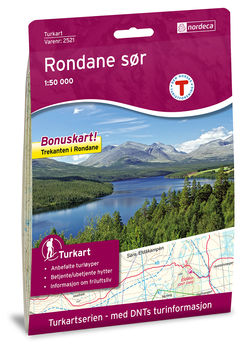
- Wandelkaart 2521 Turkart Rondane Sør | Nordeca
- Uitstekende wandelkaart van een deel van Noorwegen. De Noren zelf gebruiken deze kaarten ook voor hun wandeltochten in de berggebieden. Afhankelijk van de moeilijkheidsgraad van het gebied voldoet een 1:25.000, 1:50.000 of 1:100.000 kaart. Alle noodzakelijke informatie vind je er op terug: bemande en onbemande hutten, campings,... Read more
Netherlands
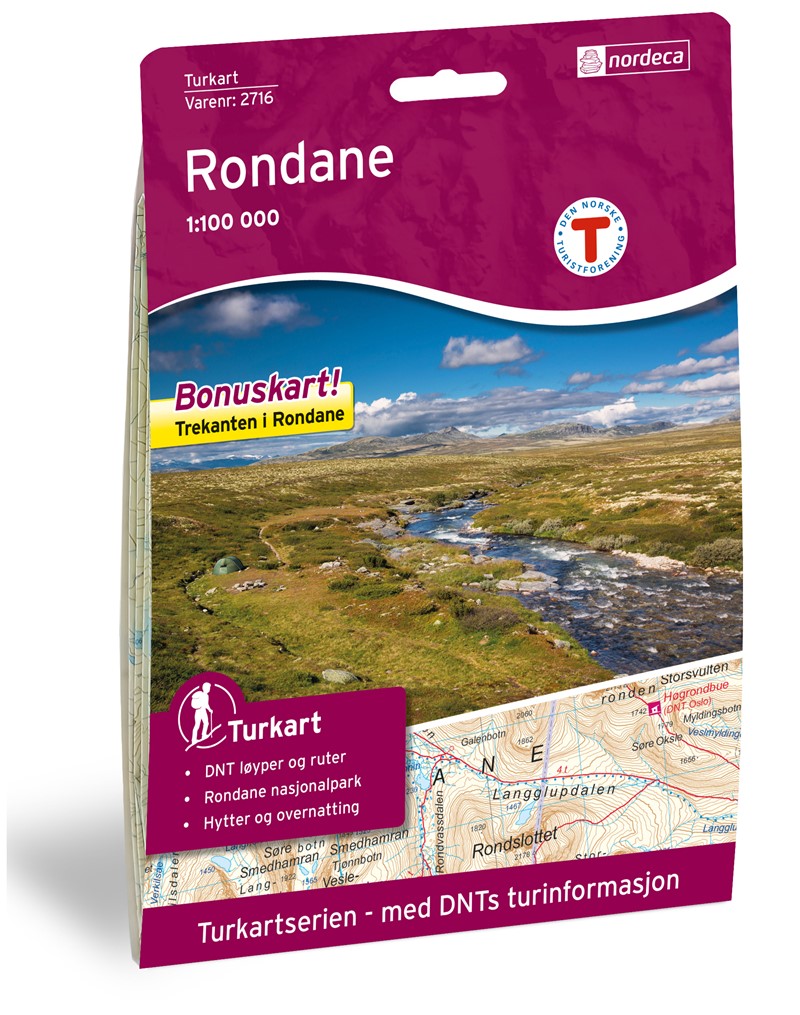
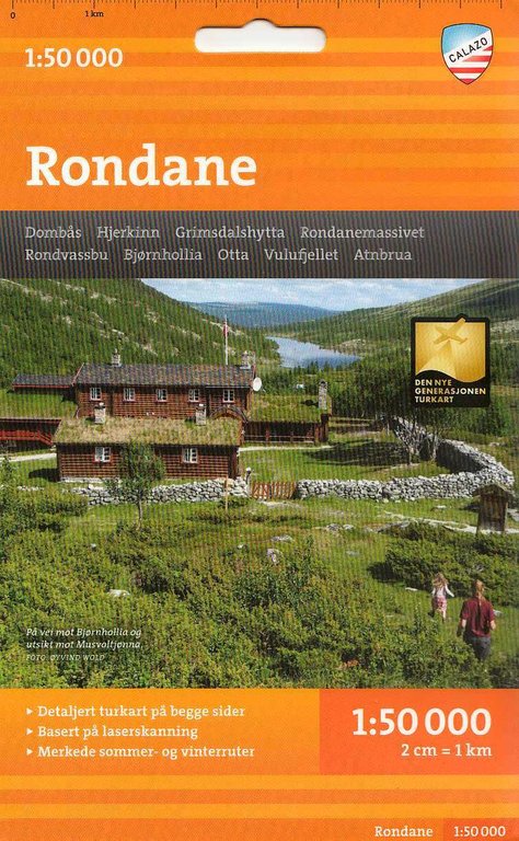
- Wandelkaart 2716 Turkart Rondane | Nordeca
- Gebied: Rondane Uitstekende wandelkaart van een deel van Noorwegen. De Noren zelf gebruiken deze kaarten ook voor hun wandeltochten in de berggebieden. Afhankelijk van de moeilijkheidsgraad van het gebied voldoet een 1:25.000, 1:50.000 of 1:100.000 kaart. Alle noodzakelijke informatie vind je er op terug: bemande en onbemande hutten, campings,... Read more
Netherlands
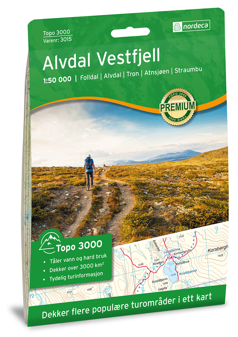
- Wandelkaart 3015 Topo 3000 Alvdal Vestfjell | Nordeca
- Een nieuwe serie van Nordeca. Een grote kaart op scheurvast papier. Het heldere kaartbeeld wat we van de andere series ook kennen is hier gebruikt wat de kaart goed leesbaar maakt. Topo 3000 is a detailed map covering an area of 64 x 47 km (over 3000 km2) Here you will find the hiking routes easily, over the mountains, through the forest and... Read more
Netherlands
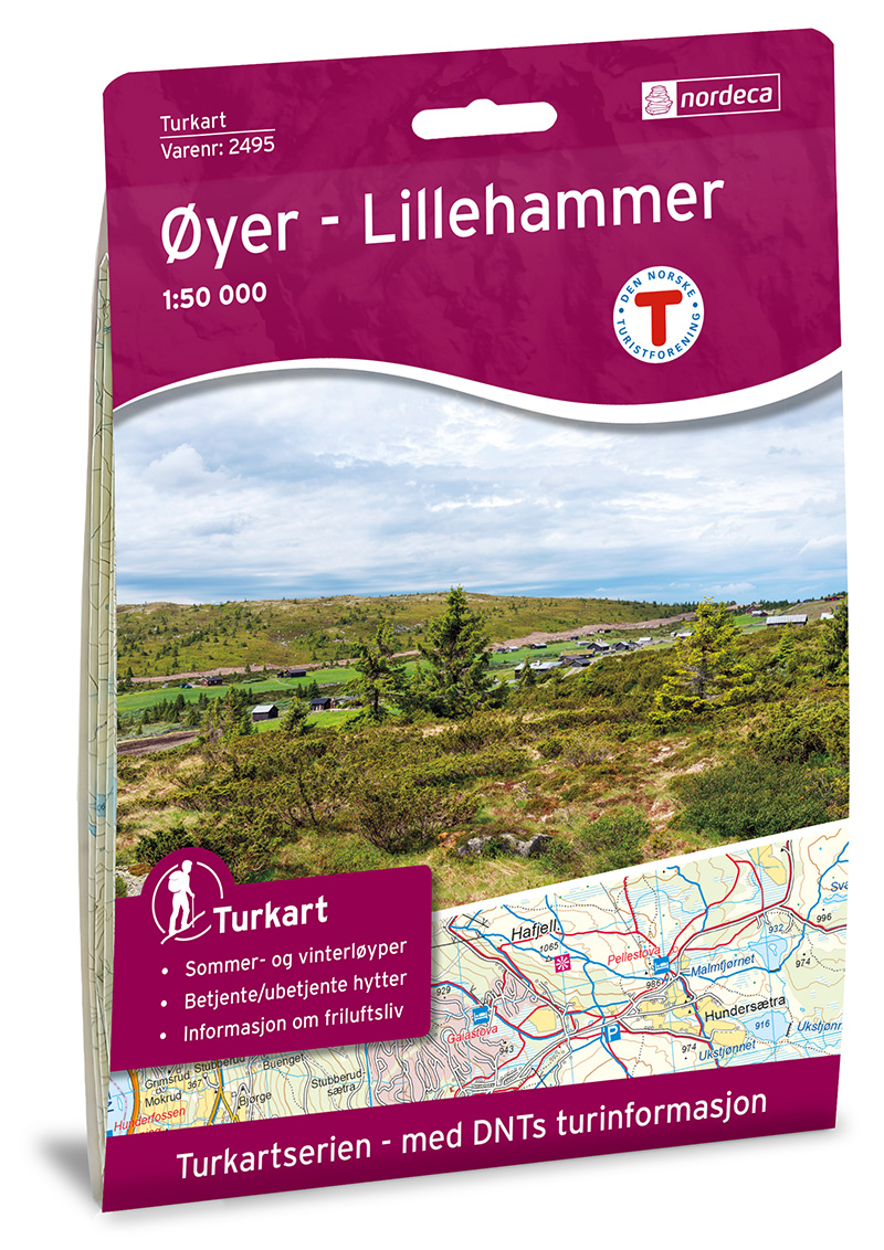
- Wandelkaart 2495 Turkart Øyer - Lillehammer | Nordeca
- Gebied: Lillehammer - Rondane Uitstekende wandelkaart van een deel van Noorwegen. De Noren zelf gebruiken deze kaarten ook voor hun wandeltochten in de berggebieden. Afhankelijk van de moeilijkheidsgraad van het gebied voldoet een 1:25.000, 1:50.000 of 1:100.000 kaart. Alle noodzakelijke informatie vind je er op terug: bemande en onbemande... Read more
Netherlands
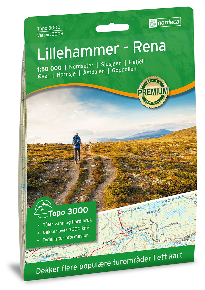
- Wandelkaart 3008 Topo 3000 Lillehammer - Rena | Nordeca
- Een nieuwe serie van Nordeca. Een grote kaart op scheurvast papier. Het heldere kaartbeeld wat we van de andere series ook kennen is hier gebruikt wat de kaart goed leesbaar maakt. Topo 3000 is a detailed map covering an area of 64 x 47 km (over 3000 km2) Here you will find the hiking routes easily, over the mountains, through the forest and... Read more
Netherlands
Netherlands
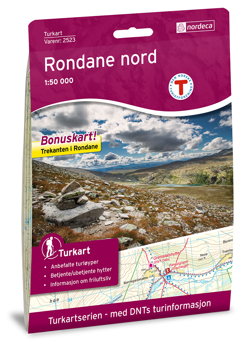
- Wandelkaart 2523 Turkart Rondane Nord | Nordeca
- Uitstekende wandelkaart van een deel van Noorwegen. De Noren zelf gebruiken deze kaarten ook voor hun wandeltochten in de berggebieden. Afhankelijk van de moeilijkheidsgraad van het gebied voldoet een 1:25.000, 1:50.000 of 1:100.000 kaart. Alle noodzakelijke informatie vind je er op terug: bemande en onbemande hutten, campings,... Read more

United Kingdom
- Southern Norway North - Oslo - Bergen - Rondvassbu - Galdhopiggen Cappelen Sectional Road Map
- Southern Norway North: Oslo - Bergen - Sognefjord - Ålesund region at 1:335,000 from Cappelen, covering several national parks including Jotunheimen and Rondane (both also shown on contoured enlargements), plus city maps of central Oslo and the Bergen area.Coverage extends from Oslo and the Hardangervidda NP northwards to Ålesund and Røros and... Read more

United Kingdom
- Øyer - Lillehammer Nordeca 2495
- Øyer – Lillehammer area in Norway in a series of GPS compatible recreational maps at 1:50,000 with cartography from Norway’s topographic survey and additional tourist information. Contours lines are drawn at 20m intervals. The overprint varies from title to title, but includes local footpaths, in some cases distinguishing between easy and more... Read more

United Kingdom
- Rondane South Nordeca 2521
- The southern part of the Rondane region of Norway in a series of GPS compatible recreational maps at 1:50,000 with cartography from Norway’s topographic survey and additional tourist information. Contours lines are drawn at 20m intervals. The overprint varies from title to title, but includes local footpaths, in some cases distinguishing... Read more

United Kingdom
- Rondane North Nordeca 2523
- The northern part of the Rondane region of Norway in a series of GPS compatible recreational maps at 1:50,000 with cartography from Norway’s topographic survey and additional tourist information. Contours lines are drawn at 20m intervals. The overprint varies from title to title, but includes local footpaths, in some cases distinguishing... Read more

United Kingdom
- Rondane Nordeca 2716
- Rondane area in Norway in a series of GPS compatible recreational Turkart maps at 1:100,000 with cartography from Norway’s topographic survey and additional tourist information. Contours lines are drawn at 20m intervals. The overprint varies from title to title, but includes local footpaths, in some cases distinguishing between easy and more... Read more