
Sylan
Beschrijving

The Sylan mountain range is located on the border with Sweden. Both countries share the huge, lumpish mountains, rising up from the eroded and rocky plains. These gabbro rock formations more or less survived the grinding forces of the glaciers in the ice age. The highest mountain – Helagsfjället, 1797 m - is located in Sweden. Storsylen (1762 m) is another fine mountain, with its peak just on the Norwegian side of the frontier.
Sylan also refers to a much wider area, reaching out to Trondheim in the west, Nord-Trøndelag in the north, Swedish Sylarna in the east and Femundsmarka in the south. The entire region is a large hikers paradise, with many staffed huts on the Swedish side, and some three staffed huts plus seven self-service huts in Norway. In winter, the area is popular as one of the largest cross-country skiing regions.
Walking is easy, because of the modest differences in height. Lakes and rivers can be fished, in spite of hydro-electrical works for which a nature reserve had to be flooded. Reindeer can be seen trotting over the barren fields. This is a spacious landscape.
Kaart

Paden in deze regio
Links
Feiten
Verslagen
Gidsen en kaarten
Overnachting
Organisaties
Reisorganisaties
GPS
Anders
Kaarten
Netherlands
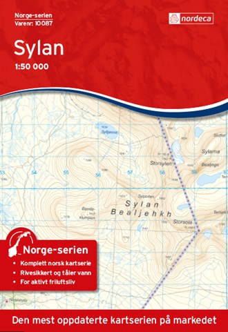
- Wandelkaart - Topografische kaart 10087 Norge Serien Sylan | Nordeca
- Een compleet nieuwe serie topografische kaarten voor Noorwegen 1:50 000. Het heeft een moderne cartografie, ontwikkeld voor het actieve buitenleven. Deze kaarten zijn ideaal voor wandel-en recreatief gebruik in de bergen, bossen, langs de kust en voor de jacht en de visserij. Voor professionele organisaties bieden de kaarten de nodige kennis... Read more
Netherlands
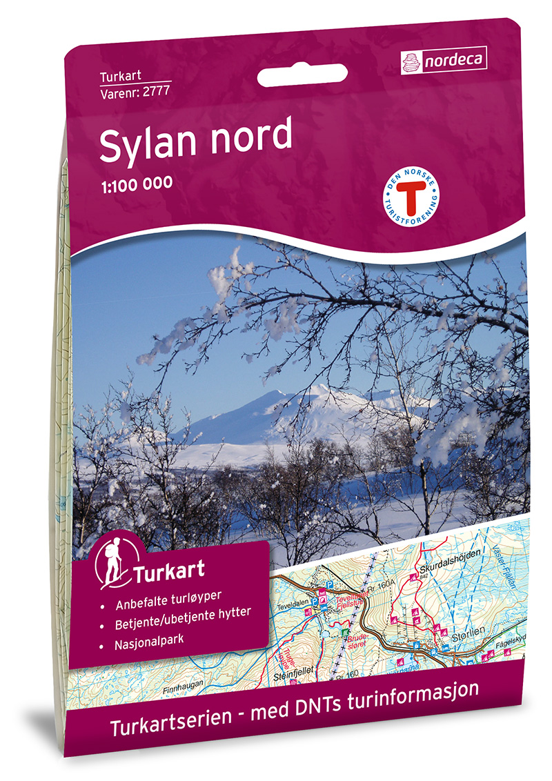
- Wandelkaart 2777 Turkart Sylan Nord | Nordeca
- Gebied: Sylan Uitstekende wandelkaart van een deel van Noorwegen. De Noren zelf gebruiken deze kaarten ook voor hun wandeltochten in de berggebieden. Afhankelijk van de moeilijkheidsgraad van het gebied voldoet een 1:25.000, 1:50.000 of 1:100.000 kaart. Alle noodzakelijke informatie vind je er op terug: bemande en onbemande hutten, campings,... Read more

United Kingdom
- Sylan Nordeca 10087
- Map No. 10087, Sylan, in the new topographic survey of Norway at 1:50,000 covering the country on 195 double-sided sheets and first published by Nordeca in 2011 - 2012; fully GPS compatible, indicating waymarked footpaths, campsites, tourist huts, illuminated ski runs, etc.The maps, now published by Nordeca, the successors to Statens Kartverk... Read more