
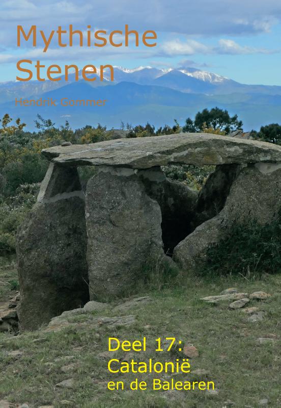
Islas Baleares
Beschrijving

The Balearic Islands a are well known holiday destination. Sun and beach are the keywords. Blessed with a benign subtropical climate, the islands are interesting for hiking too. The two largest islands - Majorca and Menorca - offer interesting long distance paths, not just by connecting some rural roads together, but by restoring old roads and landscapes. These trails - GR221, GR222, GR223 - are described in guidebooks, waymarked, and the Majorca authorities also put refuges in place.
Even with the Mediterranean nearby, summer is hot for hiking. Spring or autumn are better seasons. October can be wet.
The four main islands are, in order of size:
- Mallorca, 3.640 km2, mountains in the north, two great long distance trails
- Menorca, 695 km2, great coastal trail along the entire island
- Ibiza, 572 km2, rural interior and some hills, find your own hikes
- Formentera, 83 km2, small island with loooong beaches
Kaart

Paden in deze regio
Links
Feiten
Verslagen
Gidsen en kaarten
Overnachting
Organisaties
Reisorganisaties
GPS
Anders
Boeken
De Zwerver
Netherlands
2015
Netherlands
2015
- Wandelgids 73 Mallorca wandelkaarten met GR221 en GR222 | Editorial Alpina
- Wandelgids van Mallorca - gids met beschrijvingen van de routes en 7 gedetailleerde wandelkaarten. 60 wandelingen: wandelingen in natuurgebieden, cultuurwandelingen, GR 221 en GR222 Serra de Tramuntana, Llevant, Formentor, Sa Dragonera, Son Real, Planicia, Cap des Pinar. Taal: Engels / Duits kaart A: Andratx - Estellencs / GR 221 kaart B:... Read more
- Also available from:
- Stanfords, United Kingdom

Stanfords
United Kingdom
2015
United Kingdom
2015
- Mallorca - 60 Easy Hikes Editorial Alpina GR211-GR222 ENGLISH/GERMAN
- Northern Mallorca 7-Map Walking Set – ENGLISH/German version - at 1:50,000 from the hiking map specialists Editorial Alpina, presenting the northern half of the island on seven handy-size maps. Accompanying booklet, in this version in English and German, includes descriptions of 60 day hikes from different locations, plus the GR221 across the... Read more

De Zwerver
Netherlands
2016
Netherlands
2016
- Reisgids Michelin groene gids weekend Mallorca - De Balearen | Lannoo
- De 3-sterrengids voor een geslaagde citytrip - Met extra aandacht voor de must sees en must do's op de Balearen - De eilanden in 3 of 6 dagen: met een uitgewerkt reisplan - Meer dan 100 adressen om gezellig te tafelen, een glaasje te drinken, uit te gaan of te shoppen - De hoogtepunten op de Balearen, met de handige Michelin sterrenbeoordeling... Read more
De Zwerver
Netherlands
2022
Netherlands
2022
- Wandelgids Mallorca | Sunflower books
- The go-to Mallorca travel guide for over 30 years. Strap on your boots and discover Mallorca on foot with the Sunflower Mallorca travel guide. And on the days when your feet may have had enough, enjoy some spectacular scenery on one of our legendary car tours. The Sunflower Mallorca guide is indispensable for hiking in Mallorca or seeing... Read more
De Zwerver
Netherlands
2012
Netherlands
2012
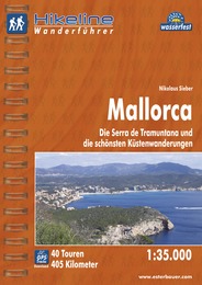
- Wandelgids Hikeline Mallorca | Esterbauer
- Handzame gids met een goede beschrijving van een groot aantal dagtochten in dit gebied. De gids is in spiraalbinding en elke pagina is op scheur- en watervast papier gedrukt. Daar is echt over nagedacht! Mallorca ist die größte Insel der Balearen, was in ihrem Namen schon abzulesen ist (lat. insula maior). Die Balearen liegen im westlichen... Read more
De Zwerver
Netherlands
2019
Netherlands
2019
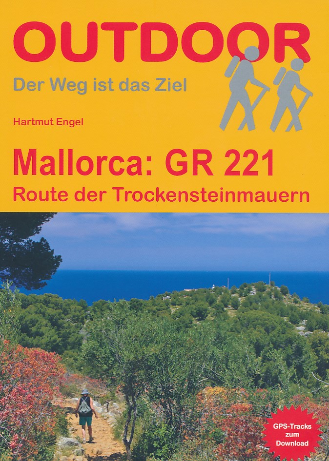
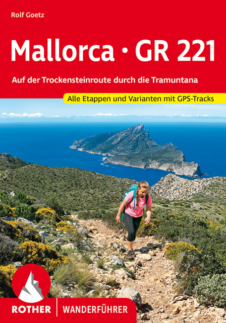
- Wandelgids Mallorca GR221 | Conrad Stein Verlag
- Handzaam boekje met de routebeschrijving inclusief een heleboel praktische informatie. De beschrijving is uitstekend, maar kaarten zijn beperkt en schetsmatig aanwezig. Duits. Auch auf Mallorca findet man noch unberührte Natur und abgeschiedene Wege: z. B. in der Serra de Tramuntana (Serra del Norte), dem Gebirge im Westen der Insel. Auf der... Read more
De Zwerver
Netherlands
2021
Netherlands
2021
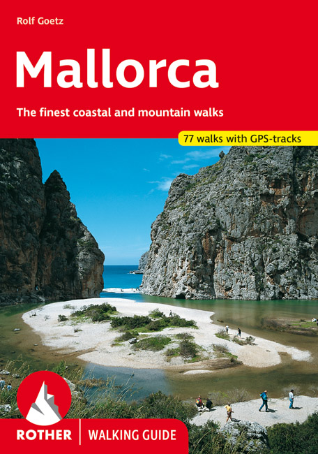
- Wandelgids Rother Wandefuhrer Spanje Mallorca | Rother Bergverlag
- The finest coastal and montain walks. 70 walks. With GPS Data. Rother Wanderführer. 4., completely revised edition 2015. Read more
- Also available from:
- Stanfords, United Kingdom

Stanfords
United Kingdom
2015
United Kingdom
2015
- Mallorca Rother Guide
- Rother’s handy little hiking book to Mallorca has 70 tour recommendations described in detail.Generously illustrated by photos and colour map excerpts (scale 1:50,000 and 1:75,000), there is also an overview map (at 1:500,000 scale) which is ideal for route planning. Thoroughly-researched introductory chapters with tips on interesting sights... Read more
De Zwerver
Netherlands
2023
Netherlands
2023
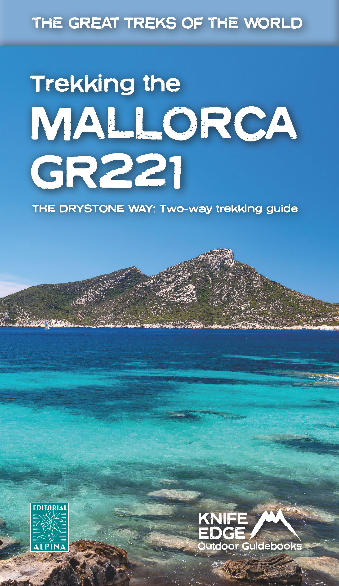
- Wandelgids Trekking the Mallorca GR221 | Knife Edge Outdoor
- 2022: Two-way guidebook with real 1:25k maps: 12 different itineraries Read more
De Zwerver
Netherlands
Netherlands
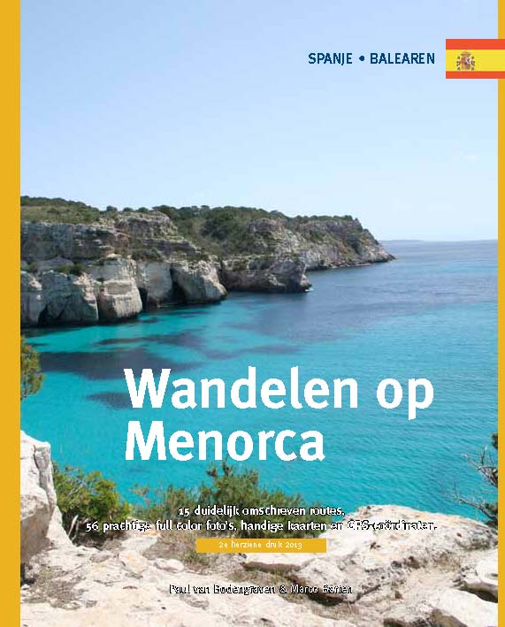
- Wandelgids Wandelen op Menorca | One Day Walks
- Menorca is één van de minst toeristische eilanden van de Balearen (Spanje). In deze eerste en enige Nederlandstalige wandelgids vind je 20 uitgebreid beschreven dagtochten en rondwandelingen van een paar uur. Met duidelijk omschreven routes, 70 prachtige full colour foto's van alle bezienswaardigheden, handige kaarten en GPS-coördinaten.... Read more
De Zwerver
Netherlands
2023
Netherlands
2023
De Zwerver
Netherlands
2019
Netherlands
2019
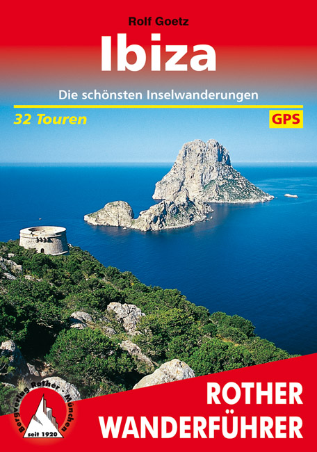
- Wandelgids 277 Rother Wandefuhrer Spanje Ibiza | Rother Bergverlag
- Uitstekende wandelgids met een groot aantal dagtochten in dal en hooggebergte. Met praktische informatie en beperkt kaartmateriaal! Wandelingen in verschillende zwaarte weergegeven in rood/blauw/zwart. Ibiza galt lange Zeit als ausgeflippte Szene-Insel für Hippies und Techno-Freaks, hat sich mittlerweile aber auch unter Naturfreunden und... Read more
De Zwerver
Netherlands
2023
Netherlands
2023
De Zwerver
Netherlands
Netherlands
- Also available from:
- Stanfords, United Kingdom

Stanfords
United Kingdom
2022
United Kingdom
2022
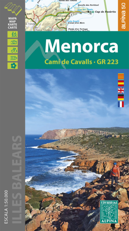
- Menorca - Camí de Cavalls - GR223 Editorial Alpina
- Menorca at 1:50,000 on a contoured, GPS compatible map from Editorial Alpina with a special overprint for the GR223 – Camí de Cavalls, a long-distance hiking path along the island’s coast, plus local trails, mountain bike routes, accommodation, sights, etc. Current edition of this title was published in May 2015.The map has contours at 20m... Read more
Kaarten
De Zwerver
Netherlands
2012
Netherlands
2012
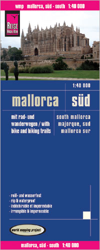
- Wandelkaart - Fietskaart - Wegenkaart - landkaart Mallorca Süd - Mallorca Zuid | Reise Know-How Verlag
- Southern Mallorca at 1:40,000 in a series of four GPS compatible, double-sided maps from Reise Know-How printed on light, waterproof and tear-resistant synthetic paper, with very clear presentation of the road network, plus selected hiking and cycling routes.Maps in this series have contours at 100m intervals, enhanced by altitude colouring,... Read more
- Also available from:
- Stanfords, United Kingdom

Stanfords
United Kingdom
2012
United Kingdom
2012
- Mallorca South Reise Know-How
- Southern Mallorca at 1:40,000 in a series of four GPS compatible, double-sided maps from Reise Know-How printed on light, waterproof and tear-resistant synthetic paper, with very clear presentation of the road network, plus selected hiking and cycling routes.Maps in this series have contours at 100m intervals, enhanced by altitude colouring,... Read more
De Zwerver
Netherlands
Netherlands
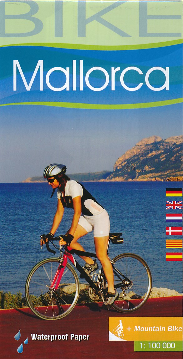
- Fietskaart 75 Bike Mallorca | Editorial Alpina
- Mallorca at 1:100,000 on a double-sided cycling map from Editorial Alpina printed on light, waterproof and tear-resistant plastic paper. Roads are classified according to density of traffic and six route profiles are included.The map is double-sided, dividing the island east-west with a small overlap between the sides. Topography is shown by... Read more
- Also available from:
- Stanfords, United Kingdom

Stanfords
United Kingdom
United Kingdom
- Mallorca Editorial Alpina Cycling Map
- Mallorca at 1:100,000 on a double-sided cycling map from Editorial Alpina printed on light, waterproof and tear-resistant plastic paper. Roads are classified according to density of traffic and six route profiles are included.The map is double-sided, dividing the island east-west with a small overlap between the sides. Topography is shown by... Read more
De Zwerver
Netherlands
2015
Netherlands
2015
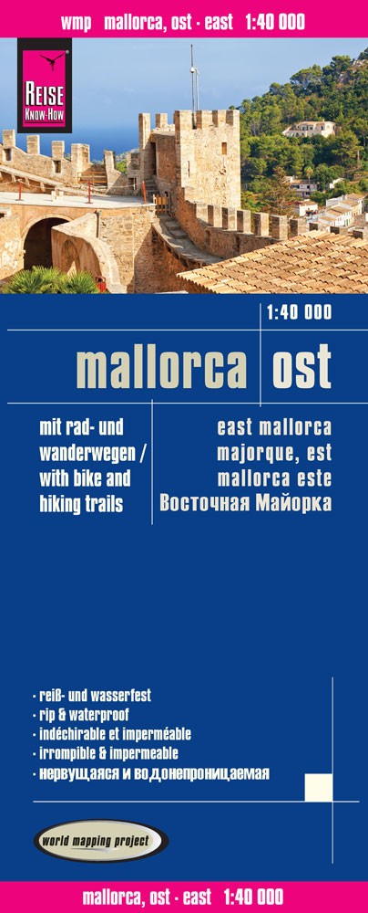
- Wandelkaart - Fietskaart - Wegenkaart - landkaart Mallorca Ost - Mallorca Oost | Reise Know-How Verlag
- Eastern Mallorca at 1:40,000 in a series of four GPS compatible, double-sided maps from Reise Know-How printed on light, waterproof and tear-resistant synthetic paper, with very clear presentation of the road network, plus selected hiking and cycling routes.Maps in this series have contours at 100m intervals, enhanced by altitude colouring,... Read more
- Also available from:
- Stanfords, United Kingdom

Stanfords
United Kingdom
2015
United Kingdom
2015
- Mallorca East Reise Know-How
- Eastern Mallorca at 1:40,000 in a series of four GPS compatible, double-sided maps from Reise Know-How printed on light, waterproof and tear-resistant synthetic paper, with very clear presentation of the road network, plus selected hiking and cycling routes.Maps in this series have contours at 100m intervals, enhanced by altitude colouring,... Read more
De Zwerver
Netherlands
Netherlands
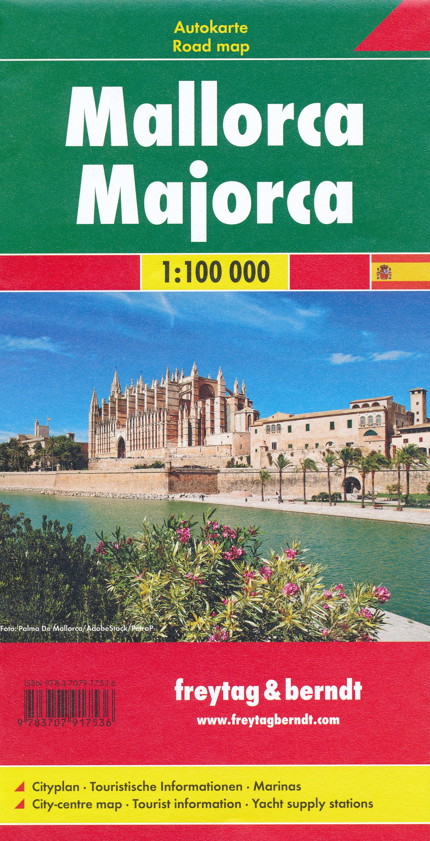
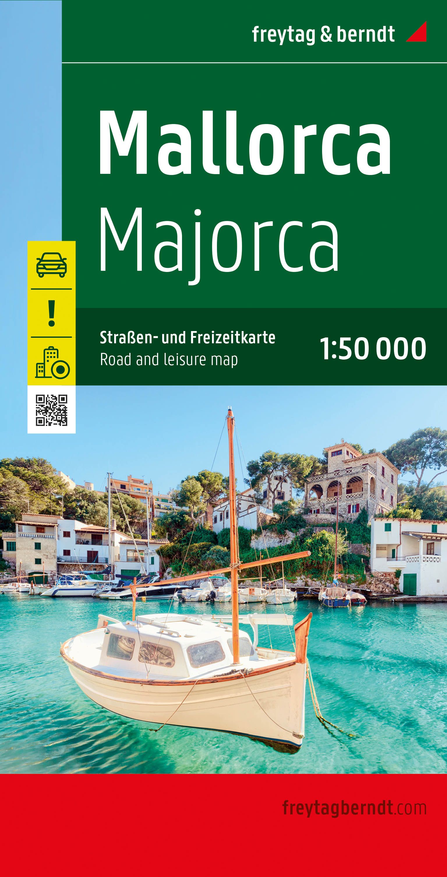
- Wegenkaart - landkaart Mallorca | Freytag & Berndt
- Majorca at 1:50,000 on a large, double-sided, contoured map from Freytag & Berndt, with highlighting for scenic roads and tourist routes, plus a booklet with a GPS-annotated index, street plan of central Palma, and multilingual descriptions of the island’s best sights.Topography is shown by contours at 100m intervals, with numerous spot height,... Read more
- Also available from:
- Stanfords, United Kingdom

Stanfords
United Kingdom
United Kingdom
- Mallorca F&B
- Majorca at 1:50,000 on a large, double-sided, contoured map from Freytag & Berndt, with highlighting for scenic roads and tourist routes, plus a booklet with a GPS-annotated index, street plan of central Palma, and multilingual descriptions of the island’s best sights.Topography is shown by contours at 100m intervals, with numerous spot height,... Read more
De Zwerver
Netherlands
Netherlands
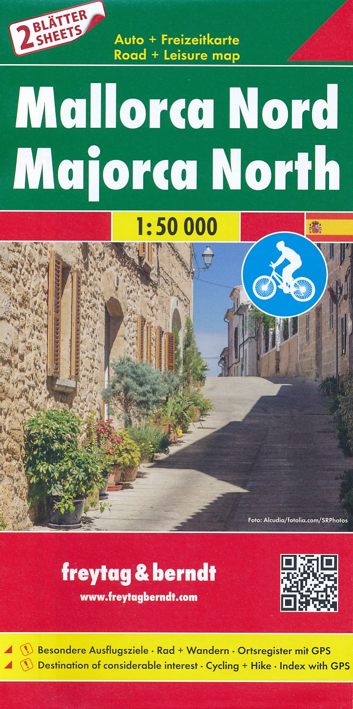
- Fietskaart - Wegenkaart - landkaart Mallorca Noord + Zuid | Freytag & Berndt
- Majorca at 1:50,000 in a set of two double-sided, contoured maps from Freytag & Berndt, with highlighting for scenic or tourist roads and recommended cycling routes, plus a booklet with a GPS-annotated index, a street plan of central Palma, and descriptions of the island’s best sights, the GR221 hiking trail, 10 cycling routes and four... Read more
- Also available from:
- Stanfords, United Kingdom

Stanfords
United Kingdom
United Kingdom
- Mallorca F&B 2-Map Set
- Majorca at 1:50,000 in a set of two double-sided, contoured maps from Freytag & Berndt, with highlighting for scenic or tourist roads and recommended cycling routes, plus a booklet with a GPS-annotated index, a street plan of central Palma, and descriptions of the island’s best sights, the GR221 hiking trail, 10 cycling routes and four... Read more
De Zwerver
Netherlands
2022
Netherlands
2022
- Wegenkaart - landkaart Mallorca | Freytag & Berndt
- Majorca at 1:50,000 on a large, double-sided, contoured map from Freytag & Berndt, with highlighting for scenic roads and tourist routes, plus a booklet with a GPS-annotated index, street plan of central Palma, and multilingual descriptions of the island’s best sights.Topography is shown by contours at 100m intervals, with numerous spot height,... Read more
- Also available from:
- Stanfords, United Kingdom

Stanfords
United Kingdom
2022
United Kingdom
2022
- Mallorca F&B Road and Leisure Map
- Majorca at 1:50,000 on a large, double-sided, contoured map from Freytag & Berndt, with highlighting for scenic roads and tourist routes, plus a booklet with a GPS-annotated index, street plan of central Palma, and multilingual descriptions of the island’s best sights.Topography is shown by contours at 100m intervals, with numerous spot height,... Read more
De Zwerver
Netherlands
Netherlands
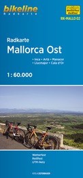
- Fietskaart MALLO02 Bikeline Radkarte Mallorca Ost | Esterbauer
- Inca - Artà - Manacor - Llucmajor - Cala d´Or Bikeline Radkarte. 1., Auflage. Read more
De Zwerver
Netherlands
Netherlands
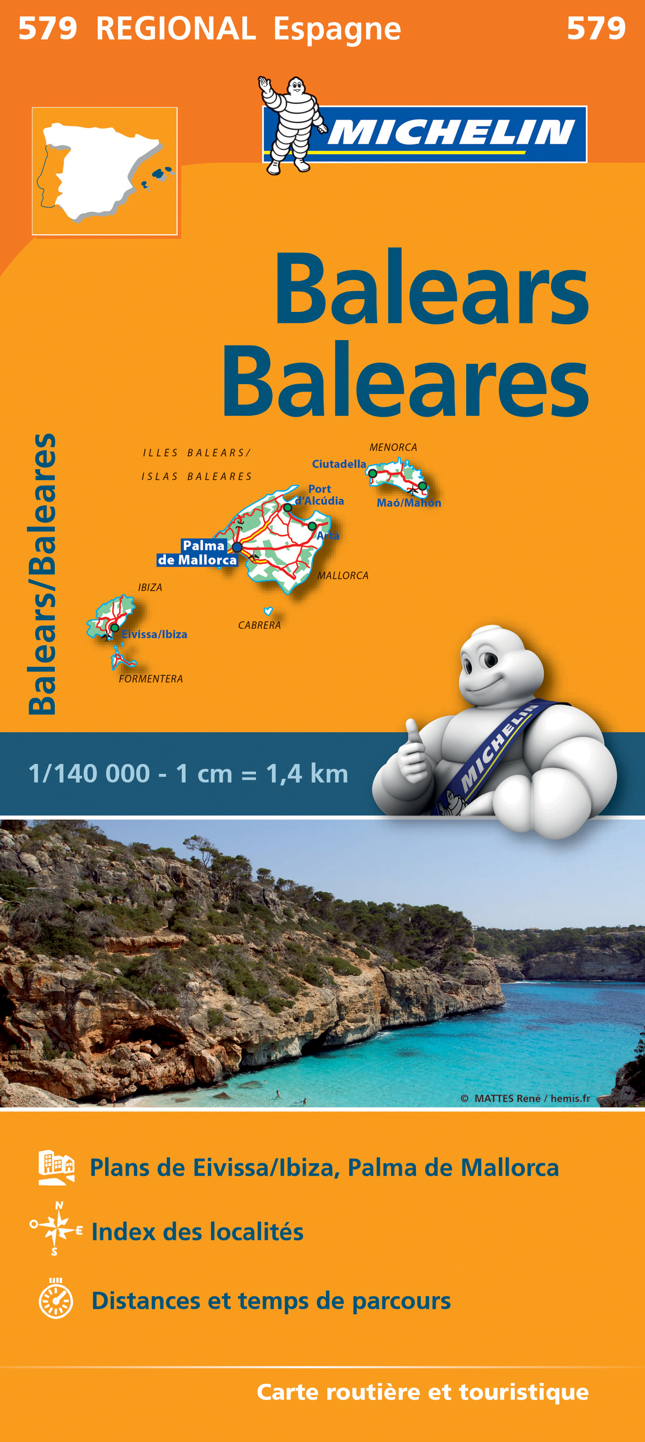
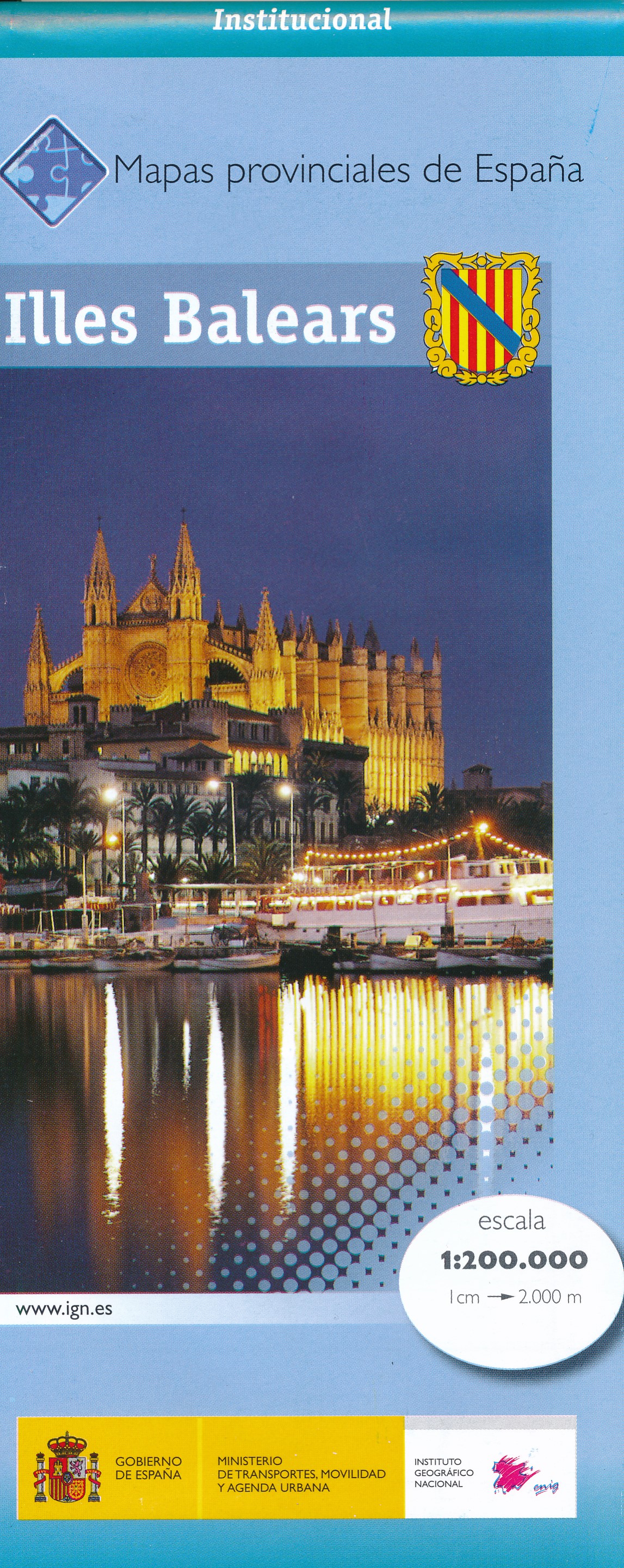
- Wegenkaart - landkaart Mapa Provincial Illes Balears - Balearen | CNIG - Instituto Geográfico Nacional
- Contoured, GPS-compatible, indexed road map at 1:200,000 from CNIG - Spain’s civilian survey organization, with exceptionally informative presentation of the landscape and highlighting for facilities and places of interest including campsites and paradors.Maps in CNIG’s 200K Provincial Series provide an excellent picture the topography through... Read more
- Also available from:
- Stanfords, United Kingdom

Stanfords
United Kingdom
United Kingdom
- Balearic Islands Province 200K CNIG Map No. 8
- Contoured, GPS-compatible, indexed road map at 1:200,000 from CNIG - Spain’s civilian survey organization, with exceptionally informative presentation of the landscape and highlighting for facilities and places of interest including campsites and paradors.Maps in CNIG’s 200K Provincial Series provide an excellent picture the topography through... Read more
De Zwerver
Netherlands
Netherlands
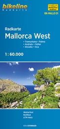
- Fietskaart MALLO01 Bikeline Radkarte Mallorca West | Esterbauer
- Tramuntana - Palma - Andratx - Sóller - Alcúdia - Inca Bikeline Radkarte. 1., Auflage. Read more
De Zwerver
Netherlands
Netherlands
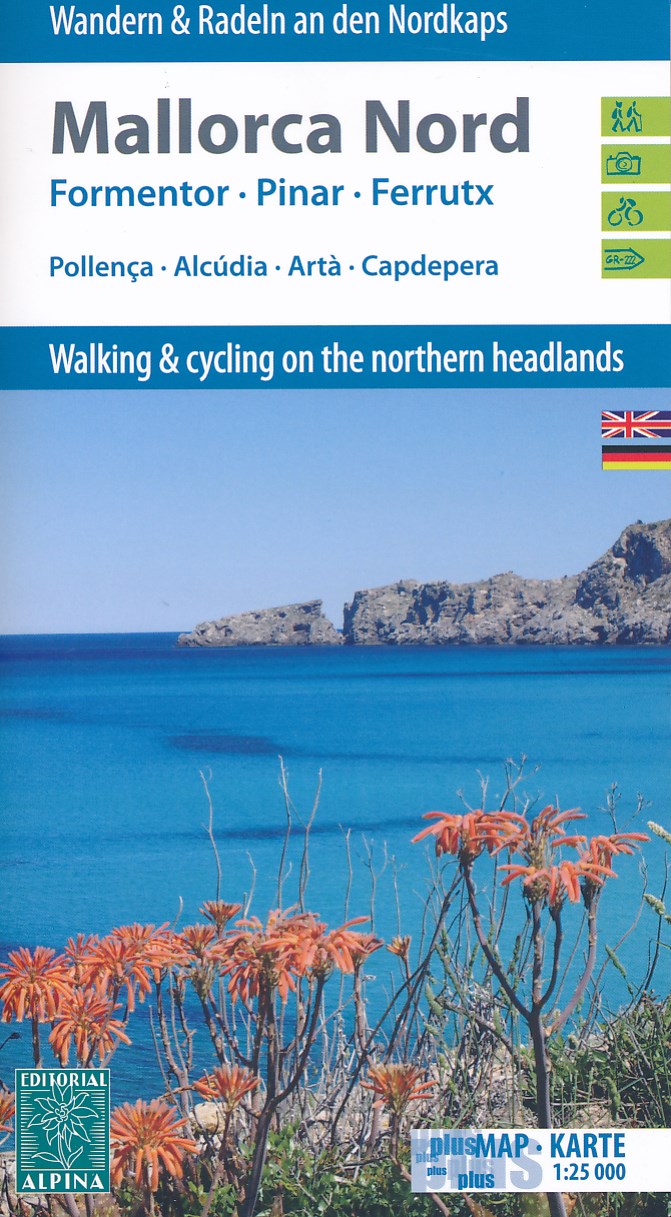
- Wandelkaart - Fietskaart 72 Noord Mallorca | Editorial Alpina
- Mallorca North Walking & Cycling Map & Guide set from Editorial Alpina, with a double-sided, contoured and GPS compatible map at 1:25,000, plus a booklet with English language descriptions of 90 hiking routes from various locations.The map covers two areas on the north-eastern coast of Mallorca: one side Cap de Formentor with Cap des Pinar... Read more
- Also available from:
- Stanfords, United Kingdom

Stanfords
United Kingdom
United Kingdom
- Mallorca North Walking & Cycling Map & Guide Editorial Alpina
- Mallorca North Walking & Cycling Map & Guide set from Editorial Alpina, with a double-sided, contoured and GPS compatible map at 1:25,000, plus a booklet with English language descriptions of 90 hiking routes from various locations.The map covers two areas on the north-eastern coast of Mallorca: one side Cap de Formentor with Cap des Pinar... Read more
De Zwerver
Netherlands
Netherlands
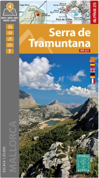
- Wandelkaart 66 Tramuntana Zuid - Mallorca | Editorial Alpina
- Zeer gedetailleerde wandelkaart van een deel van de Tramuntana op Mallorca. Met ingetekende wandelroutes en andere informatie. uitstekende kaart. Met symbolen voor campings, hutten. Let op: deze uitgever is traag met het vernieuwen van kaarten; het kan zo maar zijn dat een bepaalde kaart gedurende langere tijd niet beschikbaar is. Majorca:... Read more
- Also available from:
- Stanfords, United Kingdom

Stanfords
United Kingdom
United Kingdom
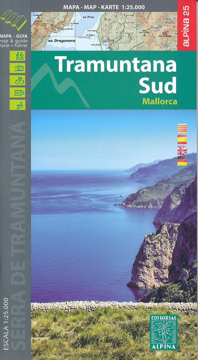
- Mallorca - Tramuntana South Editorial Alpina
- The southern part of Mallorca’s Serra de Tramuntana mountains on a contoured and GPS-compatible map at 1:25,000 from Editorial Alpina, highlighting numerous local hiking trails and the course of the GR221 long-distance trail, climbing and canyoning sites, refuges and campsites, etc. Accompanying booklet includes English-language descriptions of... Read more
De Zwerver
Netherlands
2014
Netherlands
2014
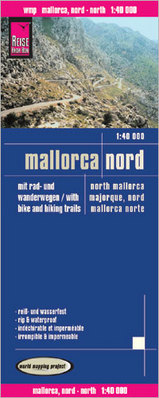
- Wandelkaart - Fietskaart - Wegenkaart - landkaart Mallorca Nord - Mallorca Noord | Reise Know-How Verlag
- Northern Mallorca at 1:40,000 in a series of four GPS compatible, double-sided maps from Reise Know-How printed on light, waterproof and tear-resistant synthetic paper, with very clear presentation of the road network, plus selected hiking and cycling routes.Maps in this series have contours at 100m intervals, enhanced by altitude colouring,... Read more
- Also available from:
- Stanfords, United Kingdom

Stanfords
United Kingdom
2014
United Kingdom
2014
- Mallorca North Reise Know-How
- Northern Mallorca at 1:40,000 in a series of four GPS compatible, double-sided maps from Reise Know-How printed on light, waterproof and tear-resistant synthetic paper, with very clear presentation of the road network, plus selected hiking and cycling routes.Maps in this series have contours at 100m intervals, enhanced by altitude colouring,... Read more
De Zwerver
Netherlands
Netherlands
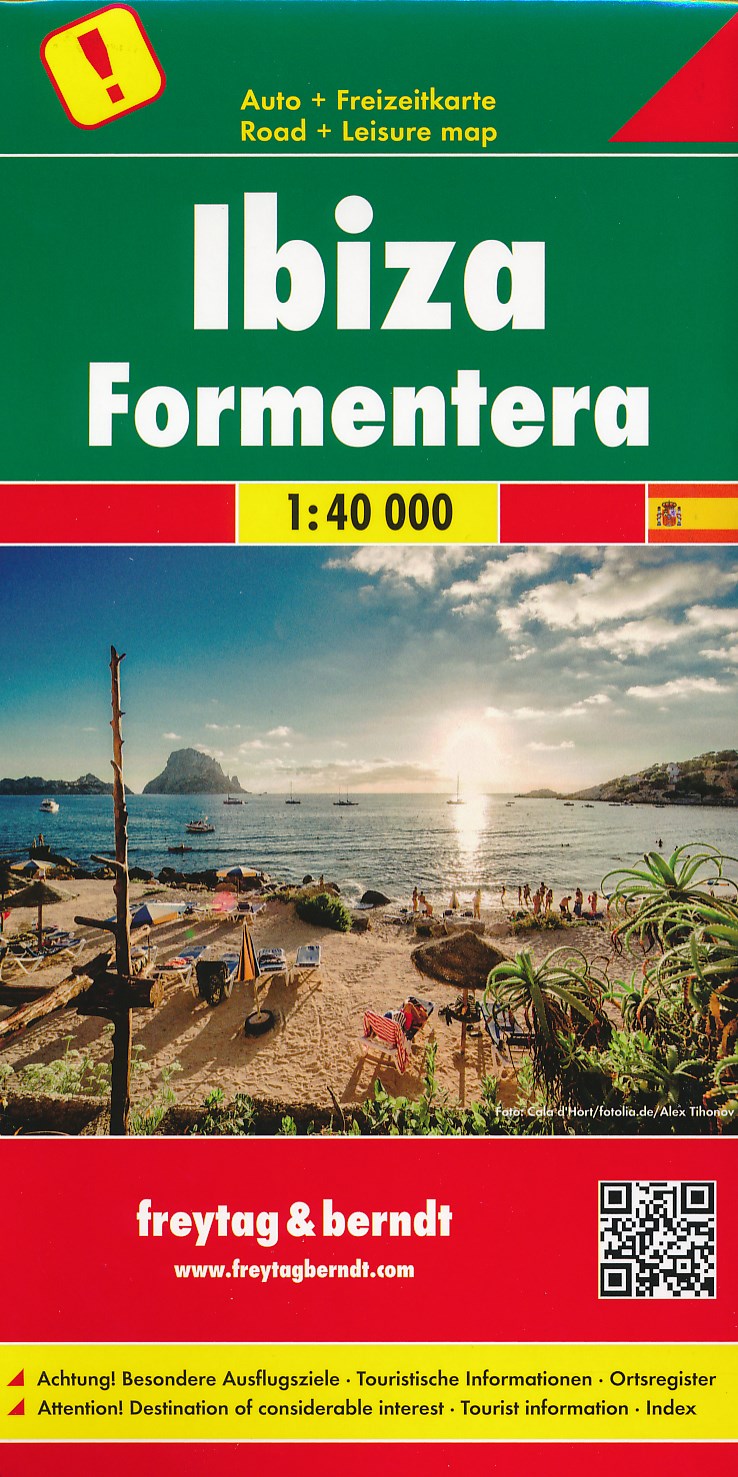
- Wandelkaart - Wegenkaart - landkaart Ibiza - Formentera | Freytag & Berndt
- Gedetailleerde wegenkaart van Ibiza en Formentera die ook als wandelkaart goed te gebruiken is. Er staan ook een aantal wandelingen ingetekend. Toeristisch belangrijke zaken als stranden, bezienswaardigheden, vuurtorens, maar ook zaken als benzinepompen staan met symbolen aangegeven op deze kaart. Nadeel is het feit dat deze niet... Read more
- Also available from:
- Stanfords, United Kingdom

Stanfords
United Kingdom
United Kingdom
- Ibiza - Formentera F&B
- Ibiza and Formentera at 1:40,000 on a road map from Freytag & Berndt prominently highlighting the two islands’ best sights which have multilingual descriptions in the index booklet attached to the map cover. Road network is shown on a base with topography indicated by relief shading with spot heights, plus colouring for woodlands. Driving... Read more