
GR131 Camino Natural Cumbres de La Gomera
Beschrijving
- Name GR131 Camino Natural Cumbres de La Gomera (GR131)
- Lengte van pad 37 km, 23 mijl
- Lengte in dagen 2 dagen
- Start van pad San Sebastián de la Gomera
- Einde van pad Vallehermoso
- Traildino graad MW, Gemiddelde wandeling, trektocht
- Huttentrektocht graad T1, Wandeling


 GR131 Camino Natural Cumbres de La Gomera, San Sebastián de la Gomera - Vallehermoso, 37 km, 2 days
La Gomera can be imagined as an egg: the yolk in the centre is its unique rain forest, only found on this island, made up from laurel trees. The trade winds create a moist climate in this hilly interior for most of the year.
The GR131 is one of the two GR’s on the island. The other GR encircles the island. This one climbs up from the harbour to the centre of the island where the rain forest thrives. It can be chilly here, bring warm clothes. The trail comes near the highest summit of La Gomera, Alto de Garajonay, 1.487 m. The trail ends in the attractive rural town Vallehermoso, surrounded by terraces and arid mountains.
The GR131 is part of the European long distance path E7.
Check the complete list of Canary Islands.
Kaart

Links
Feiten
Verslagen
Gidsen en kaarten
Overnachting
Organisaties
Reisorganisaties
GPS
Anders
Boeken
Netherlands
2018
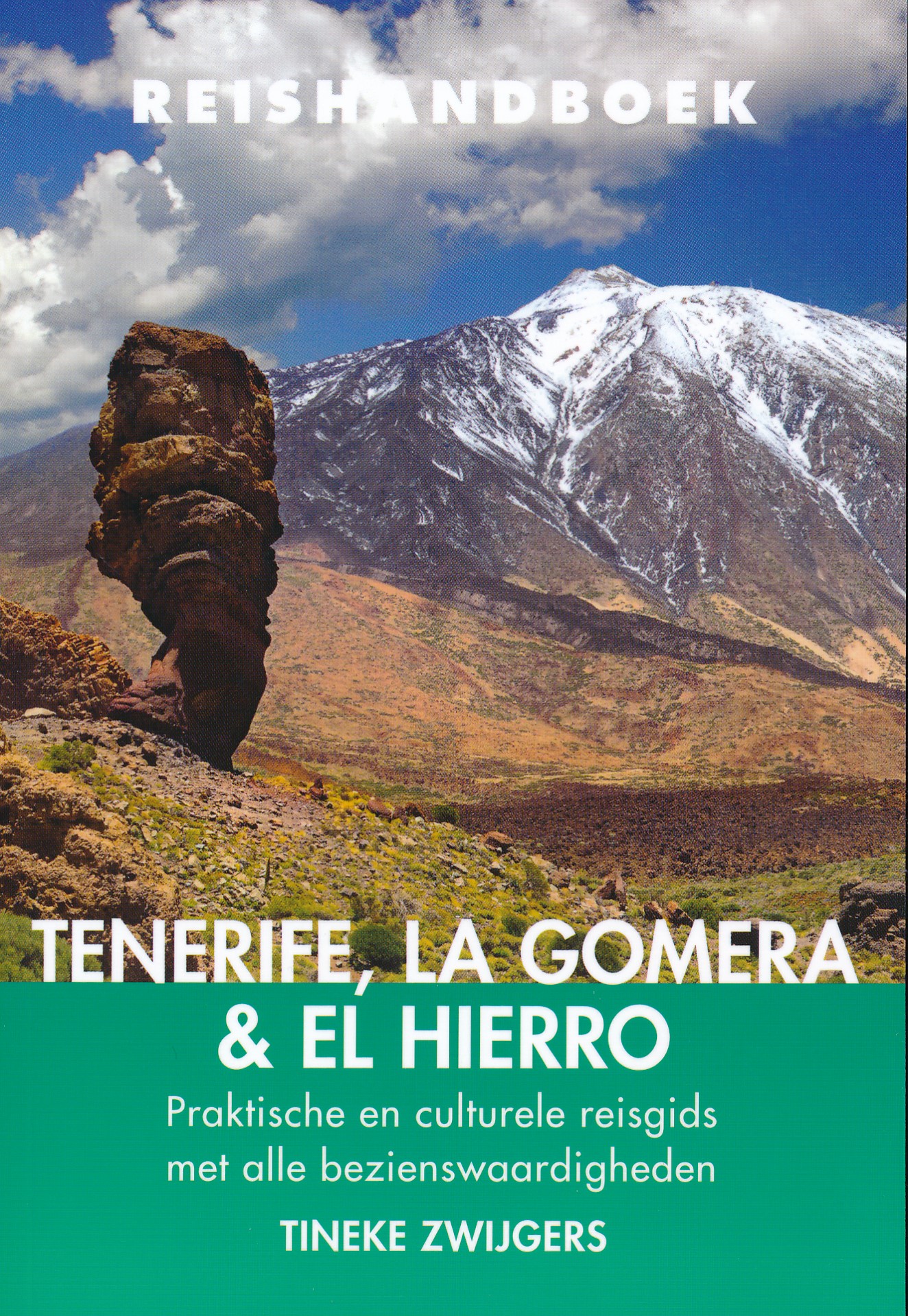
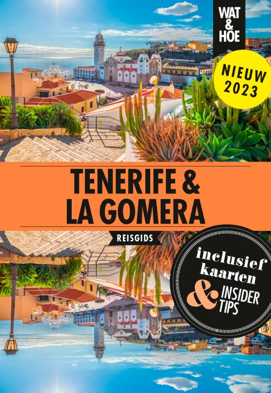
- Reisgids Reishandboek Tenerife, La Gomera, El Hierro | Uitgeverij Elmar
- Praktische en culturele reisgids met alle bezienswaardigheden * Veel achtergrondinformatie * Praktische informatie: onder andere accommodatie, vervoer, gezondheid, geldzaken etc. * Alle bezienswaardigheden * Kaarten en plattegronden in kleur Ruige bergen en mistige oerbossen. Kleurrijke koloniale steden. Natuurlijk gevormde zeebaden. En de geur... Read more
Netherlands
2024

Netherlands
2022
Netherlands
2023
Netherlands
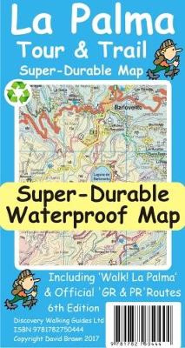
- La Palma Tour & Trail Super-Durable Map
- La Palma Tour & Trail Super-Durable Map 4th edition isbn 9781904946922. New 2013 4th Edition of our La Palma Tour & Trail Super-Durable Map is now available. Our large 1:40,000 scale, combined with splitting the island into a North (Landscape view) and South (Portrait view) with a generous overlap, produces double sided map whose total size is... Read more
- Also available from:
- Bol.com, Belgium
Belgium
- La Palma Tour & Trail Super-Durable Map
- La Palma Tour & Trail Super-Durable Map 4th edition isbn 9781904946922. New 2013 4th Edition of our La Palma Tour & Trail Super-Durable Map is now available. Our large 1:40,000 scale, combined with splitting the island into a North (Landscape view) and South (Portrait view) with a generous overlap, produces double sided map whose total size is... Read more
Netherlands
- Wandelkaart Tour & Trail Lanzarote | Discovery Walking Guides
- Travel & Languages Reference Maps & Road Atlases International Books Read more
- Also available from:
- Bol.com, Netherlands
- Bol.com, Belgium
- Stanfords, United Kingdom
Netherlands
- Lanzarote Tour & Trail Super-Durable Map
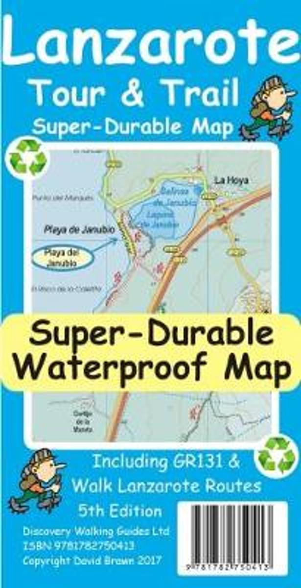
- This map is being replaced by a new 4th edition published on 9 May 2016 ISBN 9781782750277. Lanzarote Tour & Trail Map 3rd edition Super-Durable version covers this big island at a scale of 1:40,000 resulting in the most detailed and toughest map of Lanzarote that you can buy. All the country walking routes from our new 3rd edition of Walk!... Read more
Belgium
- Lanzarote Tour & Trail Super-Durable Map
- This map is being replaced by a new 4th edition published on 9 May 2016 ISBN 9781782750277. Lanzarote Tour & Trail Map 3rd edition Super-Durable version covers this big island at a scale of 1:40,000 resulting in the most detailed and toughest map of Lanzarote that you can buy. All the country walking routes from our new 3rd edition of Walk!... Read more

United Kingdom
- Lanzarote Tour & Trail Super-Durable Map
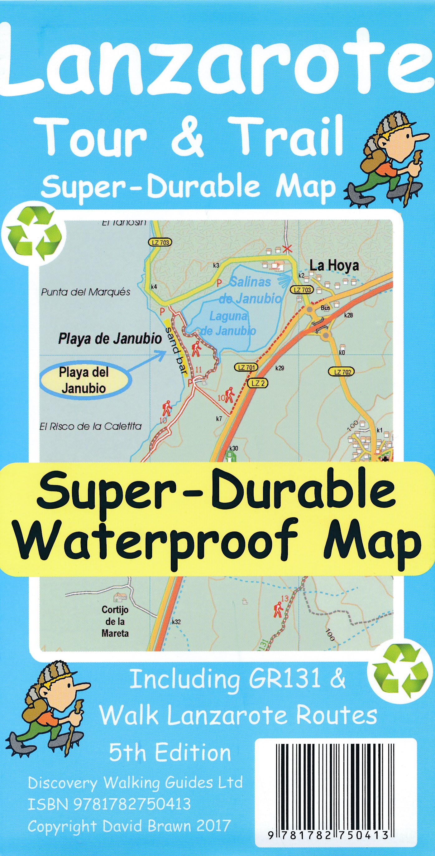
- Lanzarote Tour & Trail Super-Durable Map 5th edition covers this big island at a scale of 1:40,000 resulting in the most detailed and toughest map of Lanzarote that you can buy. Large 960mm by 700mm double sided map sheet with generous overlap, to reduce turning the map in use, folds to 235mm by 120mm pocket size using our special `concertina... Read more
Netherlands
2010
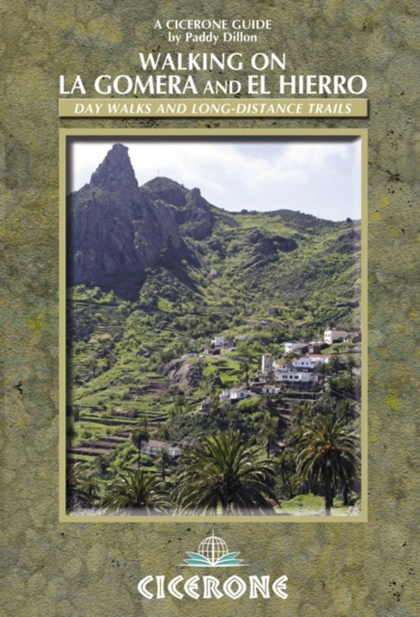
- Walking on La Gomera and El Hierro
- Walking guide to La Gomera and El Hierro, in the Canaries, with day walks and long-distance trails including Camino de La Virgen, GR132 around La Gomera and part of GR131 across the Canary Islands. Routes in Garajonay National Park and from San Sebastien and Valverde. Rugged mountain treks, coastal walks and easier expeditions. Read more
- Also available from:
- Bol.com, Belgium
Belgium
2010
- Walking on La Gomera and El Hierro
- Walking guide to La Gomera and El Hierro, in the Canaries, with day walks and long-distance trails including Camino de La Virgen, GR132 around La Gomera and part of GR131 across the Canary Islands. Routes in Garajonay National Park and from San Sebastien and Valverde. Rugged mountain treks, coastal walks and easier expeditions. Read more
Netherlands
2014
- Wandelgids Walking on Lanzarote and Fuerteventura | Cicerone
- One of Paddy Dillon's five-volume series to the Canaries, this book offers 45 walks on Lanzarote and Fuerteventura, including 14 walks on the long-distance GR 131 trail, which crosses both islands. Lanzarote has a fascinating volcanic national park; Fuerteventura has famous golden beaches. Both islands are crossed by new trails. Read more
- Also available from:
- Bol.com, Netherlands
- Bol.com, Belgium
- Stanfords, United Kingdom
- The Book Depository, United Kingdom

Netherlands
2014
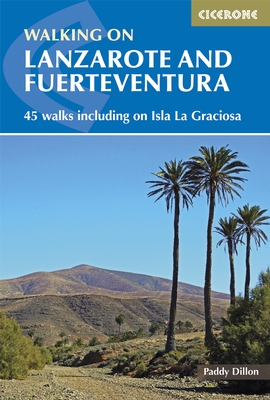
- Walking on Lanzarote and Fuerteventura
- This book describes 21 walks on Lanzarote, 2 on Isla La Graciosa (off Lanzarote's northern coast) and 22 on Fuerteventura, including 14 walks on the GR 131 trail, which crosses both islands including Isla de Lobos at the tip of Fuerteventura. These traditional routes span a range of arid, agricultural and natural areas. Walks feature hill and... Read more
Belgium
2014
- Walking on Lanzarote and Fuerteventura
- This book describes 21 walks on Lanzarote, 2 on Isla La Graciosa (off Lanzarote's northern coast) and 22 on Fuerteventura, including 14 walks on the GR 131 trail, which crosses both islands including Isla de Lobos at the tip of Fuerteventura. These traditional routes span a range of arid, agricultural and natural areas. Walks feature hill and... Read more

United Kingdom
2014
- Lanzarote and Fuerteventura - 45 Walks Including Isla La Graciosa
- Accomplished and renowned walker Paddy Dillon’s Cicerone guide to Walking in Lanzarote and Fuerteventura is the complete guide to walking one of Europe’s most popular island destinations. The seven Canary Islands seem to bask in everlasting sunshine and have been referred to as the Fortune Islands. Away from the bustling resort, walkers can... Read more

United Kingdom
2014
- Walking on Lanzarote and Fuerteventura
- Including sections of the GR131 long-distance trail Read more
Netherlands
2012
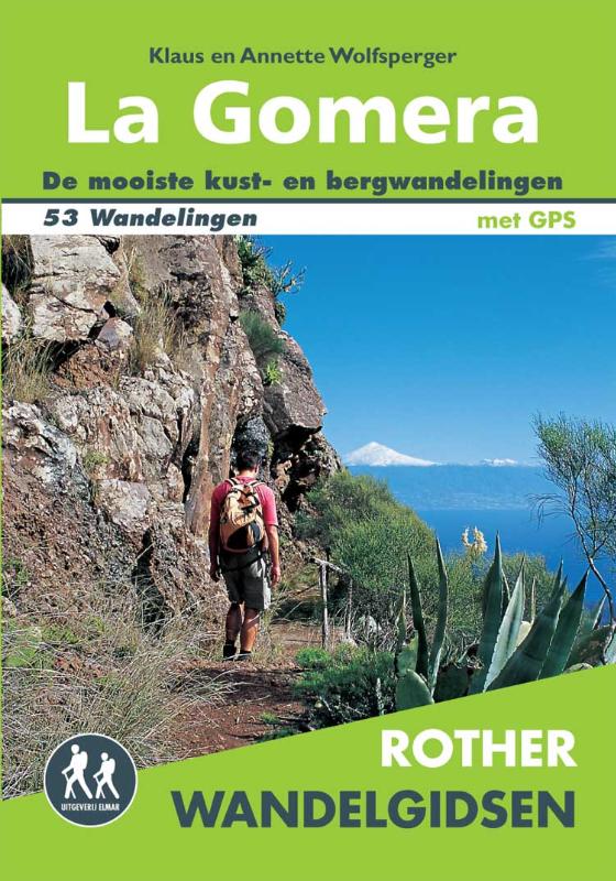
- Wandelgids La Gomera | Uitgeverij Elmar
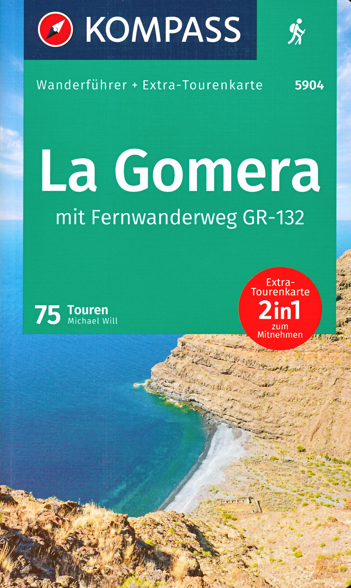
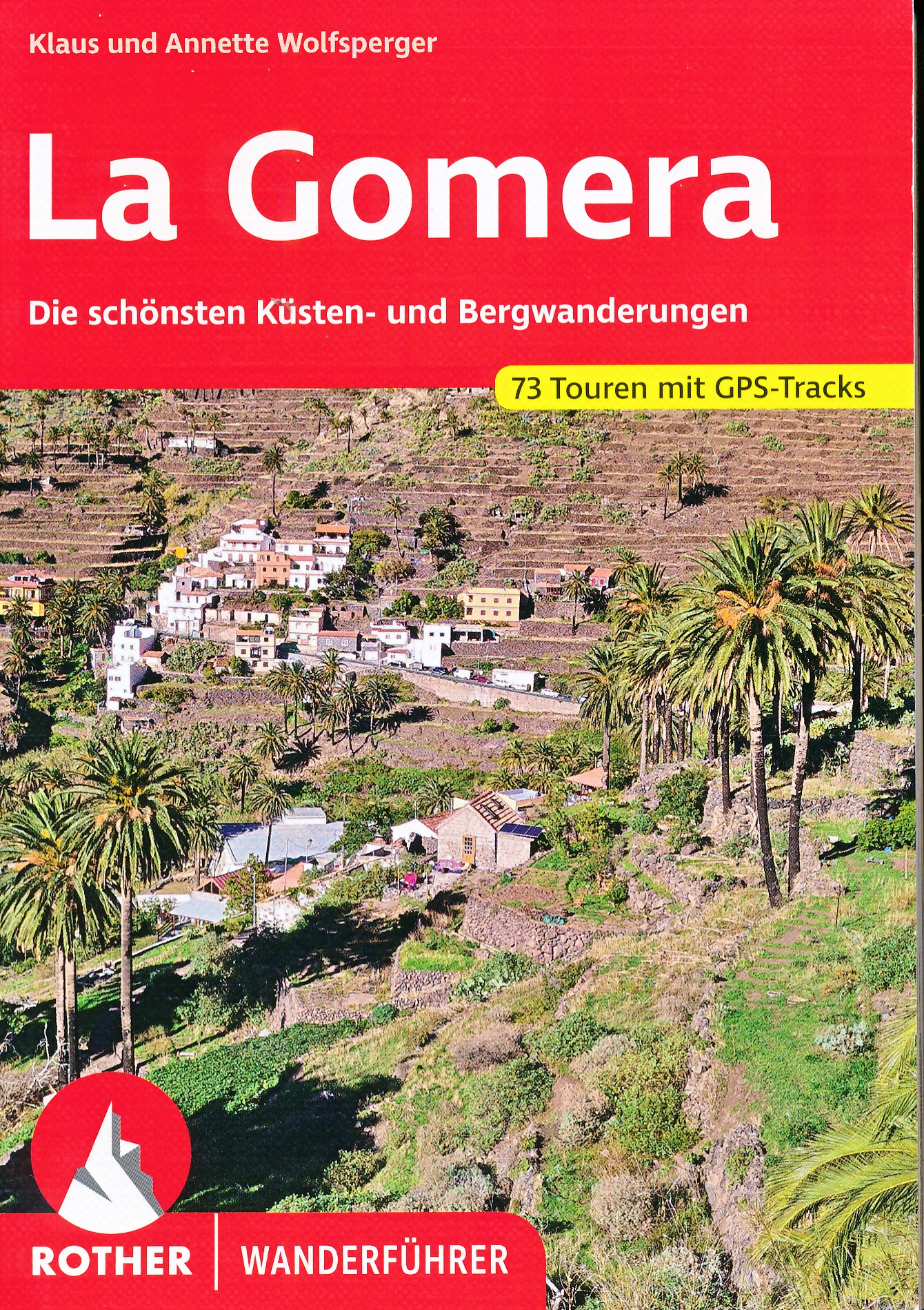
- De Rother Wandelgids La Gomera beschrijft 53 wandelroutes voor dit populaire Canarische Eiland. Wandel in de schaduw van de 1487 meter hoge Garajonay, geniet van de verbluffend mooie uitzichten en rust uit tussen de laurierbomen. Niet voor niets is Nationaal park Garajonay door UNESCO aangewezen als wereldnatuurerfgoed. Alle dagwandelingen... Read more
- Also available from:
- Bol.com, Netherlands
- Bol.com, Belgium
Netherlands
2012
- Rother Wandelgidsen - La Gomera
- De Rother Wandelgids La Gomera beschrijft 53 wandelroutes voor dit populaire Canarische Eiland.Wandel in de schaduw van de 1487 meter hoge Garajonay, geniet van de verbluffend mooie uitzichten en rust uit tussen de laurierbomen.Niet voor niets is Nationaal park Garajonay door UNESCO aangewezen als wereldnatuurerfgoed.Alle dagwandelingen hebben... Read more
Belgium
2012
- Rother Wandelgidsen - La Gomera
- De Rother Wandelgids La Gomera beschrijft 53 wandelroutes voor dit populaire Canarische Eiland.Wandel in de schaduw van de 1487 meter hoge Garajonay, geniet van de verbluffend mooie uitzichten en rust uit tussen de laurierbomen.Niet voor niets is Nationaal park Garajonay door UNESCO aangewezen als wereldnatuurerfgoed.Alle dagwandelingen hebben... Read more
Kaarten
Netherlands
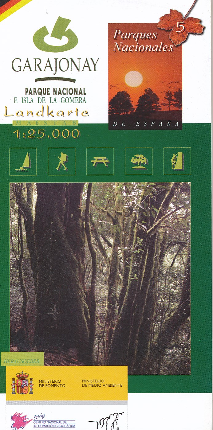
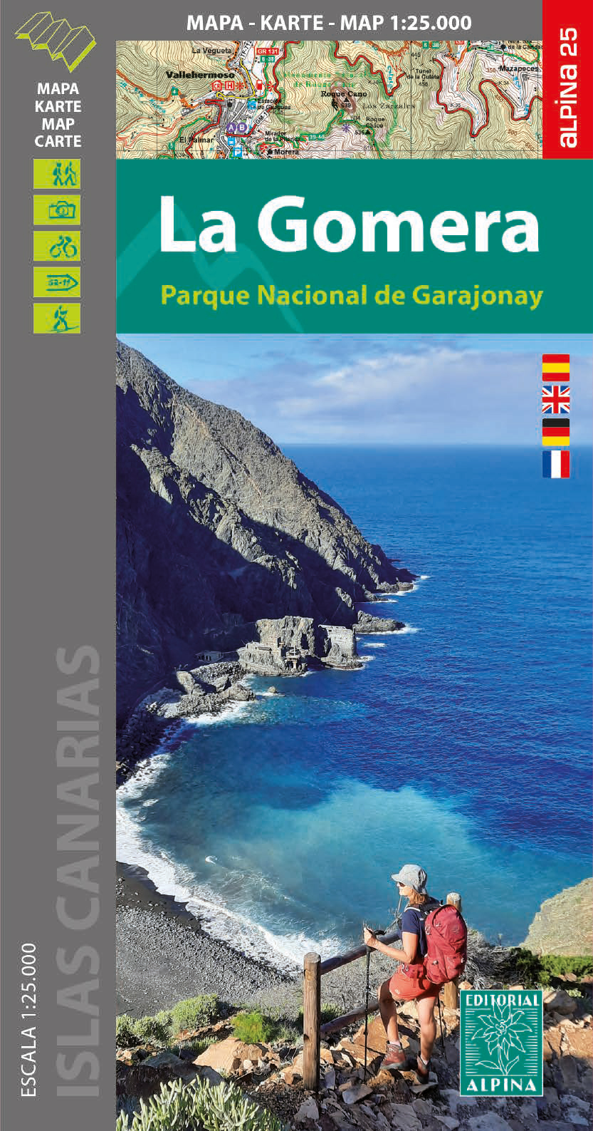
- Wandelkaart 5 Parques Nacionales Garajonay Parque Nacional e isla de la Gomera | CNIG - Instituto Geográfico Nacional
- Gedetailleerde wandelkaart 1:25.000. Met ingetekende wandelroutes, hutten en andere overnachtingsmogelijkheden, restaurants en bezienswaardigheden. Met begeleidend boekje met beschrijvingen van 13 wandelingen in het Duits Read more
Netherlands
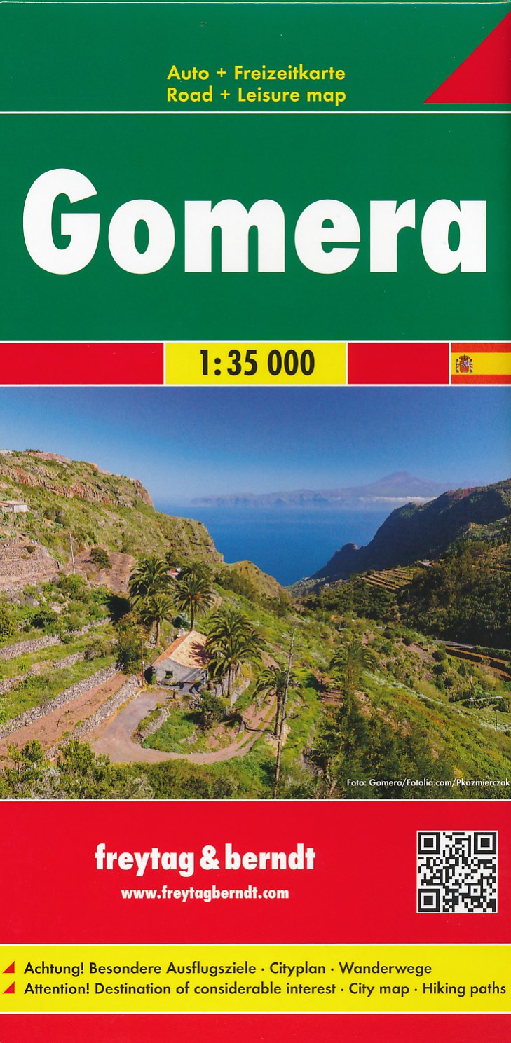
- Wandelkaart - Wegenkaart - landkaart La Gomera | Freytag & Berndt
- Zeer gedetailleerde wegen-wandelkaart van La Gomera. Schaal 1; 35.000. Stadsplattegrond van San Sebastian opgenomen in de kaart. Naast bezienswaardigheden en nationale parken staan er ook wandelroutes op deze kaart afgebeeld. Overigens vinden wij dat de Freytag & Berndt kaarten van de Spaanse en Portugese eilanden iets meer gericht zjin op... Read more

- Also available from:
- Stanfords, United Kingdom

United Kingdom
- Lanzarote Kompass 241
- Lanzarote at 1:50,000 on a contoured and GPS compatible map from Kompass, with extensive tourist overprint, plus street plans of Arrecife, Puerto del Carmen and Teguise. Coverage includes the nearby islands of Graciosa, Montaña Clara and Alwegranza.Topography is vividly presented by contours at 50m intervals, enhanced by relief shading plus... Read more

Netherlands
- Lanzarote WK241
- Toeristische kaart voor wandelen, fietsen en vrije tijd met activiteitengids en stadsplattegronden • goed leesbare schaal van 1:50 000 • te gebruiken met GPS • met praktische informatie over de regio • wandel- en fietspaden • aanbevolen routes • kastelen • uitzichtpunten • stranden en baaien • toeristische informatie • veel topografische... Read more
- Also available from:
- Bol.com, Belgium
Belgium
- Lanzarote WK241
- Toeristische kaart voor wandelen, fietsen en vrije tijd met activiteitengids en stadsplattegronden • goed leesbare schaal van 1:50 000 • te gebruiken met GPS • met praktische informatie over de regio • wandel- en fietspaden • aanbevolen routes • kastelen • uitzichtpunten • stranden en baaien • toeristische informatie • veel topografische... Read more

Netherlands
- Tenerife Hikers Maps
- Our latest hiking research on Tenerife has resulted in new editions of Walk! Tenerife and Tenerife Hikers' Super-Durable Maps being published in 2017. Thanks to Jan Kostura's 2016 research we have several new hiking adventures described in detail in Walk! Tenerife. Jan's gps records of his research for new routes and updating of current routes... Read more
- Also available from:
- Bol.com, Belgium
Belgium
- Tenerife Hikers Maps
- Our latest hiking research on Tenerife has resulted in new editions of Walk! Tenerife and Tenerife Hikers' Super-Durable Maps being published in 2017. Thanks to Jan Kostura's 2016 research we have several new hiking adventures described in detail in Walk! Tenerife. Jan's gps records of his research for new routes and updating of current routes... Read more
Netherlands
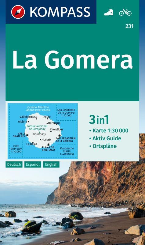
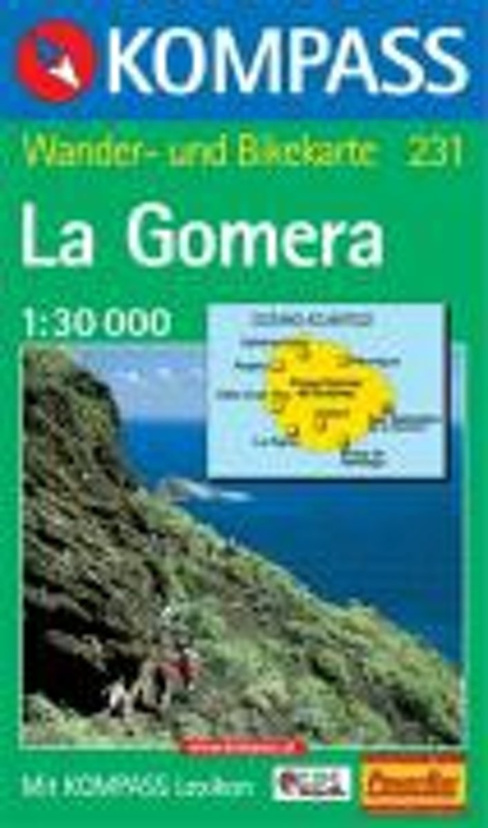
- Gomera WK231
- Toeristische kaart voor wandelen, fietsen en vrije tijd met activiteitengids en stadsplattegronden • goed leesbare schaal van 1:30 000 • te gebruiken met GPS • met praktische informatie over de regio • wandel- en fietspaden • aanbevolen routes • kastelen • uitzichtpunten • stranden en baaien • toeristische informatie • veel topografische... Read more
- Also available from:
- Bol.com, Belgium
Belgium
- Gomera WK231
- Toeristische kaart voor wandelen, fietsen en vrije tijd met activiteitengids en stadsplattegronden • goed leesbare schaal van 1:30 000 • te gebruiken met GPS • met praktische informatie over de regio • wandel- en fietspaden • aanbevolen routes • kastelen • uitzichtpunten • stranden en baaien • toeristische informatie • veel topografische... Read more

Netherlands
- Kanaren/DVD-ROM
- Deze digitale wandel-, fiets- en skiroute kaarten van Kompass op CD of DVD zijn bruikbaar met GPS • je kunt inzoomen op de kaart tot een schaal van 1: 10 000 • prima manier om je eigen route te plannen, met hoogteprofielen • zeer eenvoudig om de gekozen route te printen of te downloaden op mobiele telefoon of PDA • vlieg vogelvlucht over een... Read more
- Also available from:
- Bol.com, Belgium
Belgium
- Kanaren/DVD-ROM
- Deze digitale wandel-, fiets- en skiroute kaarten van Kompass op CD of DVD zijn bruikbaar met GPS • je kunt inzoomen op de kaart tot een schaal van 1: 10 000 • prima manier om je eigen route te plannen, met hoogteprofielen • zeer eenvoudig om de gekozen route te printen of te downloaden op mobiele telefoon of PDA • vlieg vogelvlucht over een... Read more

United Kingdom
- Agulo 25K La Gomera CNIG Topographic Survey Map No. 1095-I/II
- Topographic coverage of the Canary Islands at 1:25,000 published by the Instituto Geográfico Nacional – Centro Nacional de Información Geografica, the country’s civilian survey organization. The maps have contours at 10m intervals and colouring and/or graphics to show different types of vegetation or land use. Boundaries of national parks and... Read more
United Kingdom
- Vallehermoso 25K La Gomera CNIG Topographic Survey Map No. 1095-III
- Topographic coverage of the Canary Islands at 1:25,000 published by the Instituto Geográfico Nacional – Centro Nacional de Información Geografica, the country’s civilian survey organization. The maps have contours at 10m intervals and colouring and/or graphics to show different types of vegetation or land use. Boundaries of national parks and... Read more
United Kingdom
- Hermigua 25K La Gomera CNIG Topographic Survey Map No. 1095-IV
- Topographic coverage of the Canary Islands at 1:25,000 published by the Instituto Geográfico Nacional – Centro Nacional de Información Geografica, the country’s civilian survey organization. The maps have contours at 10m intervals and colouring and/or graphics to show different types of vegetation or land use. Boundaries of national parks and... Read more
United Kingdom
- Valle Gran Rey 25K La Gomera CNIG Topographic Survey Map No. 1101-I
- Topographic coverage of the Canary Islands at 1:25,000 published by the Instituto Geográfico Nacional – Centro Nacional de Información Geografica, the country’s civilian survey organization. The maps have contours at 10m intervals and colouring and/or graphics to show different types of vegetation or land use. Boundaries of national parks and... Read more

United Kingdom
- Gomera CNIG Topo 1095-1101
- La Gomera, map No. 1095/1101 in the topographic coverage of the Canary Islands at 1:50,000 from the Instituto Geográfico Nacional - Centro Nacional de Información Geograficá, Spain’s civilian survey organization. Maps in the MTN50 (Mapa Topográfico Nacional) series begun in late 1990s have contours at 20m intervals enhanced by relief shading,... Read more
United Kingdom
- San Sebastian de la Gomera 25K CNIG Topographic Survey Map No. 1101-II
- Topographic coverage of the Canary Islands at 1:25,000 published by the Instituto Geográfico Nacional – Centro Nacional de Información Geografica, the country’s civilian survey organization. The maps have contours at 10m intervals and colouring and/or graphics to show different types of vegetation or land use. Boundaries of national parks and... Read more