
GR5 Sendero de los Parques Naturales, Sender dels Miradors
Beschrijving
- Name GR5 Sendero de los Parques Naturales, Sender dels Miradors (GR5)
- Lengte van pad 214 km, 133 mijl
- Lengte in dagen 11 dagen
- Traildino graad MW, Gemiddelde wandeling, trektocht
- Huttentrektocht graad T1, Wandeling


5
Sendero de los Parques Naturales, Sender dels Miradors, GR 5. 214 km, 8 stages. Catalunya.
Select some tracks
☐GR 5 Sender dels Miradors, 207km
☐GR 5.2, 22km
☐Former GR5, 4.2km
☐GR 5 - Variante Kastelberg, 8.3km
☐GR5 Variante Belfort, 9.9km
☐GR5 Variante, 19km
☐Old GR 5. For some reason none of the GRs through GDL are waymarked excpt a small bit near Troisvierges., 111km
☐GR5-Var, 2.8km
☐GR 57 Liaison Barchon, 14km
☐GR 5 Bergen op Zoom-België, 8.8km
☐Streek-GR Kempen - Verbinding GR5-SGR Kempen, 3.4km
☐GR 5 Variante La Plantaz, 2.2km
☐Floris V-pad-GR5 - Verbinding, 0.7km
☐Grubria Anello GR5 Varedo Desio Nova Paderno, 18km
☐GR 5 Alpes Côte d'Azur Variant Canal des Chapelles, 2.3km
☐Grande Rota – Fojos, 31km
☐GR 5 Variante Modane Gare, 6.3km
☐GR 5.1 Sender dels Miradors. Variant Montserrat, 1.8km
☐(no name), 4km
☐(no name), 5.7km
☐(no name), 5km
☐(no name), 2.3km
☐(no name), 8.2km
☐(no name), 2.6km
☐(no name), 7.6km
☐(no name), 1.7km
☐(no name), 3.1km
☐(no name), 2.7km
☐(no name), 2.2km
☐(no name), 2.3km
☐(no name), 3.3km
☐(no name), 8.7km
☐(no name), 1.2km
☐(no name), 8.4km
☐(no name), 1.5km
☐(no name), 7km
☐(no name), 1.6km
☐(no name), 8.3km
☐(no name), 5.3km
☐Rothenbach - Col du Herrenberg vers GR5 "Rouge-blanc-rouge", 3km
☐(no name), 6.1km
☐(no name), 2.9km
☐Liaison Variante GR5, 2km
☐(no name)
☐(no name), 7.1km
☐(no name), 7.4km
☐(no name), 7.2km
☐(no name), 4.4km
☐(no name), 3.8km
☐(no name), 6.3km
☐(no name), 0.6km
☐(no name), 0.5km
☐(no name), 6.2km
☐(no name), 4.2km
☐(no name), 0.7km
☐(no name), 5.5km
☐(no name), 4.2km
☐(no name), 4.3km
☐(no name), 6.5km
☐(no name), 11km
☐(no name), 13km
☐(no name), 2.1km
☐(no name), 4.2km
☐(no name), 5.6km
☐(no name), 1.8km
☐(no name), 11km
☐(no name), 1.9km
☐(no name), 0.3km
☐(no name), 3.4km
☐(no name), 5.6km
☐(no name), 3.2km
☐(no name), 19km
☐(no name), 13km
☐(no name), 3km
☐(no name), 5.3km
☐(no name), 12km
☐(no name), 5.1km
☐(no name), 8.1km
☐(no name), 10km
☐(no name), 5.4km
☐(no name), 8.2km
☐(no name), 2.6km
☐(no name), 3.5km
☐(no name), 12km
☐(no name), 1.3km
☐(no name), 6.8km
☐(no name), 5.7km
☐(no name), 1.2km
☐(no name), 3.5km
☐(no name), 7.7km
☐(no name), 7.8km
☐(no name), 11km
☐(no name), 12km
☐(no name), 1.3km
☐(no name), 6.5km
☐(no name), 1.8km
☐(no name), 10km
☐(no name), 3.7km
☐(no name), 4.4km
☐(no name), 1.4km
☐(no name), 9.4km
☐(no name), 2.8km
☐GR 5 Belgie, Vlaanderen Zuid - Variant Maastricht (Hoge Fronten), 0.6km
☐(no name), 5.3km
☐(no name), 3.4km
☐GRP 573 Liaison GRP 573 - GR 5 - GRP 575 (Hautregard), 6.7km
☐(no name), 27km
☐(no name), 3.3km
☐(no name), 4.6km
☐(no name), 1.5km
☐(no name), 2.2km
☐(no name), 3.6km
☐GR 576 Liaison GR 5, 9.2km
☐GR5 Luxemburg
☐GR 5 Belgie, Vlaanderen Zuid, 182km
☐Grande Traversée des Alpes, 9.6km
☐GR 5 - Variante Belfort, 28km
☐Floris V-pad-GR 5 - Verbinding, 0.7km
Kaart

Links
Feiten
Verslagen
Gidsen en kaarten
Overnachting
Organisaties
Reisorganisaties
GPS
Anders
Boeken

De Zwerver
Netherlands
2021
Netherlands
2021

De Zwerver
Netherlands
2021
Netherlands
2021

De Zwerver
Netherlands
2023
Netherlands
2023

De Zwerver
Netherlands
2021
Netherlands
2021

De Zwerver
Netherlands
2024
Netherlands
2024

De Zwerver
Netherlands
2023
Netherlands
2023

De Zwerver
Netherlands
2021
Netherlands
2021

De Zwerver
Netherlands
2021
Netherlands
2021
- Wandelgids 265 Vogesen - Durchquerung: GR53 GR5 | Rother Bergverlag
- In 37 etappes over de Lange Astands Wandelingen GR 53, GR 5 en GR 531 van Wissembourg naar Giromagny en Masevaux door de prachtige Vogezen. Goed alternatief voor de langverwachte maar nog steeds niet uitgekomen Crete des Vosges wandelgids van FFRP. Duitse samenvatting: Die Vogesen sind nicht nur eines der urwüchsigsten Mittelgebirge in unseren... Read more

De Zwerver
Netherlands
2009
Netherlands
2009
- Wandelgids GR 5 Mer Du Nord-Mediterrannee Noordzee - Middellandse Zee deel Ardennen (Maastricht - Diekirch ) | GR Sentiers
- LET OP: deze wandelgids van dit deel van de GR5 is alleen nog maar in het Frans leverbaar. De Nederlandstalige versie is geheel uitverkocht, niet meer te bestellen en er komt naar alle waarschijnlijkheid geen nieuwe versie in het Nederlands! Uitstekende routegids met gedetailleerde kaarten en een routebeschrijving. Fout lopen wordt op deze... Read more


De Zwerver
Netherlands
2014
Netherlands
2014
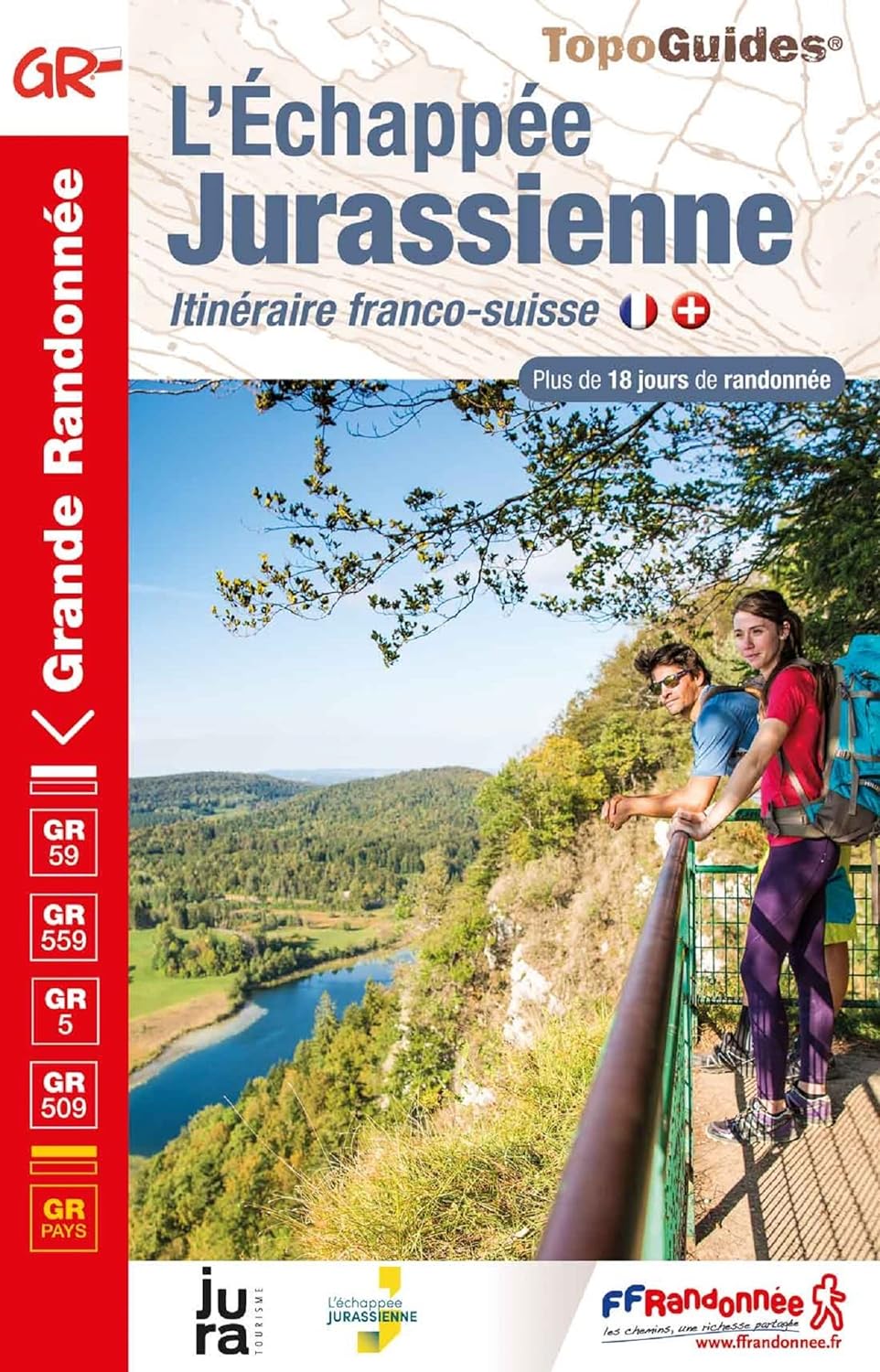
- Wandelgids 901 Tours et traversées dans l'Ain GR9, GR9A, GR59 | FFRP
- Guide FFRandonnée Tours et Traversée dans l'ain. GR 59, 9, 9A. Etangs de la Dombes, monts et cluses du Revermont ou bocages de la Bresse. Plus de 50 jours de randonnée.Depuis les Monts du Jura, du Revermont ou du Bugey, ces itinéraires en boucle ou en ligne offrent aux randonneurs des vues imprenables. voici à l'est le Mont Blanc et les... Read more
- Also available from:
- Stanfords, United Kingdom

Stanfords
United Kingdom
2014
United Kingdom
2014
- GR59/GR9/GRP: Tours et Traversées de l`Ain FFRP Topo-guide No. 901
- Tours et Traversées de l`Ain, FFRP topoguide, Ref. No. 901, covering in all 949km of hiking trails in the French Jura between Lons-le-Saunier and the confluence of the Ain and the Rhône, including sections of GR 5, 9 and 9A. Current edition of this title was published in June 2014.ABOUT THE FFRP (Fédération française de la randonnée pédestre)... Read more

De Zwerver
Netherlands
2021
Netherlands
2021
Meer boeken…

Kaarten

De Zwerver
Netherlands
Netherlands
- Wandelkaart 05 Outdoorkarte FR Elsass - Colmar - Sélestat - Elzas | Kümmerly & Frey
- The central part of Alsace around Colmar and Sélestat on a GPS compatible, double-sided map at 1:50,000 from Kümmerly+Frey printed on sturdy, waterproof and tear-resistant synthetic paper; contoured, with hiking and cycling routes, sites for other recreational activities, various accommodation options, restaurants and ferme-auberge locations,... Read more
- Also available from:
- Stanfords, United Kingdom

Stanfords
United Kingdom
United Kingdom
- Alsace - Colmar - Sélestat - Freiburg im Breisgau - Lahr K+F Outdoor Map 5
- The central part of Alsace around Colmar and Sélestat on a GPS compatible, double-sided map at 1:50,000 from Kümmerly+Frey printed on sturdy, waterproof and tear-resistant synthetic paper; contoured, with hiking and cycling routes, sites for other recreational activities, various accommodation options, restaurants and ferme-auberge locations,... Read more

De Zwerver
Netherlands
Netherlands
- Wandelkaart 07 Outdoorkarte FR Elsass, Vogesen - Alsace, Strasbourg Elzas - Vogezen | Kümmerly & Frey
- The central part of Alsace around Strasbourg and Saverne on a GPS compatible, double-sided map at 1:50,000 from K Read more
- Also available from:
- Stanfords, United Kingdom

Stanfords
United Kingdom
United Kingdom
- Alsace - Strasbourg - Saverne - Barr - Offenburg K+F Outdoor Map 7
- The central part of Alsace around Strasbourg and Saverne on a GPS compatible, double-sided map at 1:50,000 from Kümmerly+Frey printed on sturdy, waterproof and tear-resistant synthetic paper; contoured, with hiking and cycling routes, sites for other recreational activities, various accommodation options, restaurants and ferme-auberge... Read more
De Zwerver
Netherlands
Netherlands
- Also available from:
- Stanfords, United Kingdom

Stanfords
United Kingdom
United Kingdom
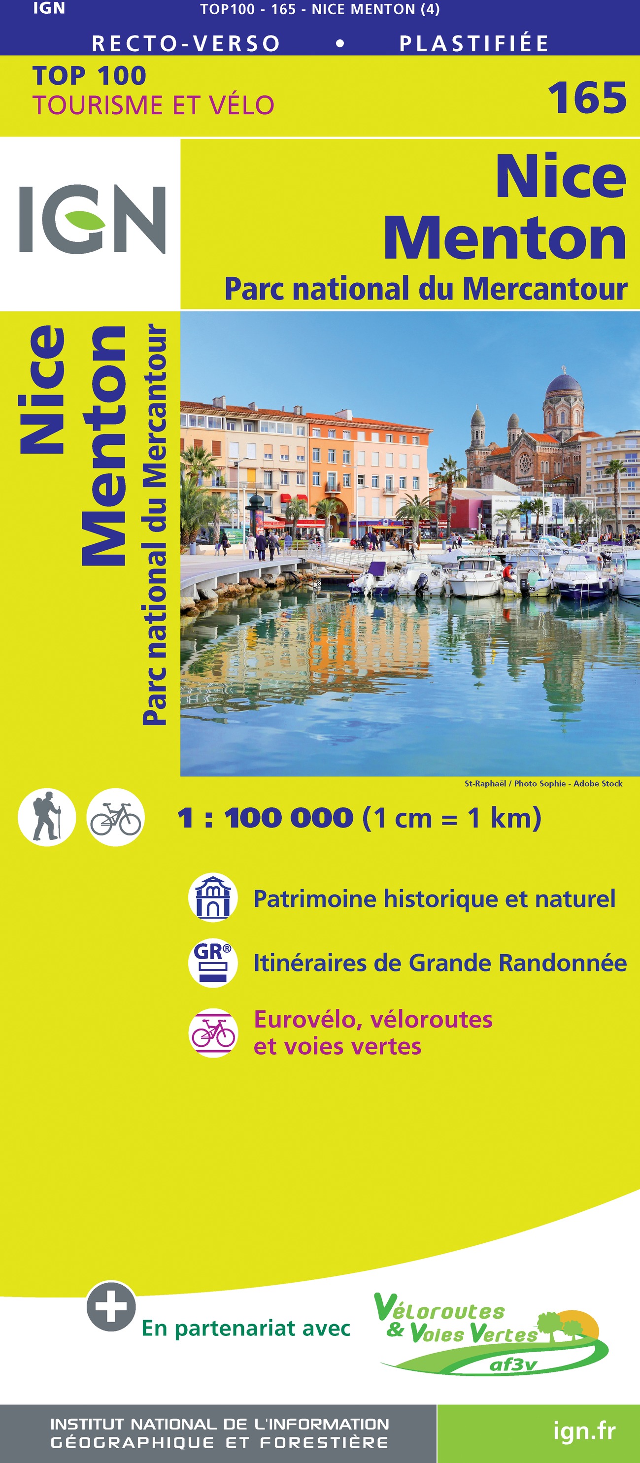
- Nice - Menton - PN du Mercantour IGN TOP100 165
- Discover the new double-sided laminated edition of TOP100 road maps of France from the Institut Géographique National (IGN); exceptionally detailed, contoured road maps which include the cycle paths and greenways of the AF3V (French Association for the Development of Cycle Paths and Greenways), ideal for exploring the French countryside by car,... Read more

De Zwerver
Netherlands
2014
Netherlands
2014
- Wandelkaart 07 Mercantour & Alpi-Maritieme | Didier Richard
- Mercantour National Park and the Maritime Alps on a large, double-sided, contoured and GPS compatible map from Editions Didier Richard highlighting local walking trails and long-distance hiking routes including the GR5. Coverage extends from well north of Col de Larch to Sospel, Levens and Roquestéron in the mountains north of the French... Read more
- Also available from:
- Stanfords, United Kingdom

Stanfords
United Kingdom
2014
United Kingdom
2014
- Mercantour & Alpi-Marittime Didier Richard 07
- Mercantour National Park and the Maritime Alps on a large, double-sided, contoured and GPS compatible map from Editions Didier Richard highlighting local walking trails and long-distance hiking routes including the GR5. Coverage extends from well north of Col de Larch to Sospel, Levens and Roquestéron in the mountains north of the French... Read more


Stanfords
United Kingdom
United Kingdom
- Luxembourg North
- One of two topographic survey maps of Luxembourg at 1:50,000, with contours at 10-metres intervals and additional relief shading. An overprint highlights long-distance footpaths, including the GR5 (E-2), cycle routes, and various places of interest, including campsites. The map covers an area of approximately 53 x 43 km / 33 x 27 miles. Map... Read more

Stanfords
United Kingdom
United Kingdom
- Luxembourg South
- One of two topographic survey maps of Luxembourg at 1:50,000, with contours at 10-metres intervals and additional relief shading. An overprint highlights long-distance footpaths, including the GR5 (E-2), cycle routes, and various places of interest, including campsites. The map covers an area of approximately 53 x 43 km / 33 x 27 miles. Map... Read more

Stanfords
United Kingdom
2016
United Kingdom
2016
- Vanoise National Park - Beaufortain Didier Richard 04
- Vanoise National Park and the Beaufortain Massif in the French Alps at 1:60,000 on a contoured and GPS compatible map from Didier Richard with a base derived from IGN’s topographic survey, highlighting both local hiking routes and the GR network of long-distance paths, gîtes and mountain refuges, interesting natural and cultural sites, etc. The... Read more

Stanfords
United Kingdom
United Kingdom
- Autour du Thabor: Modane - Bardonecchia - Briançon
- Mont Thabor area at 1:50,000 on a contoured and GPS compatible map from Editions Didier Richard in their series of walking maps of French Alps and other popular hiking regions of south-eastern France. Coverage extends from Modane in the north to Briançon in the south-east, and west to Valloire.The base map with cartography from the IGN has... Read more

Stanfords
United Kingdom
United Kingdom
- Alsace - Mulhouse - Basel - Altkirch K+F Outdoor Map 2
- The southern part of Alsace around Mulhouse and Guebwiller on a GPS compatible, double-sided map at 1:50,000 from Kümmerly+Frey printed on sturdy, waterproof and tear-resistant synthetic paper; contoured, with hiking and cycling routes, sites for other recreational activities, various accommodation options, restaurants and ferme-auberge... Read more

De Zwerver
Netherlands
2019
Netherlands
2019
- Also available from:
- The Book Depository, United Kingdom
