
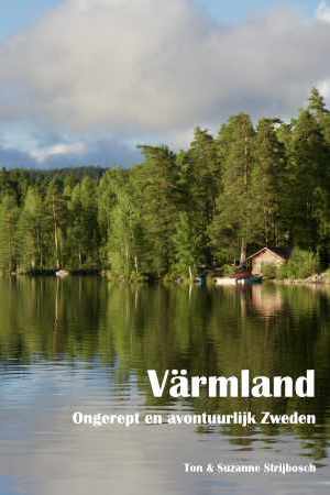
Värmland
Beschrijving
Paden in deze landsdeel
Links
Feiten
Verslagen
Gidsen en kaarten
Overnachting
Organisaties
Reisorganisaties
GPS
Anders
Boeken
De Zwerver
Netherlands
2022
Netherlands
2022

Stanfords
United Kingdom
United Kingdom
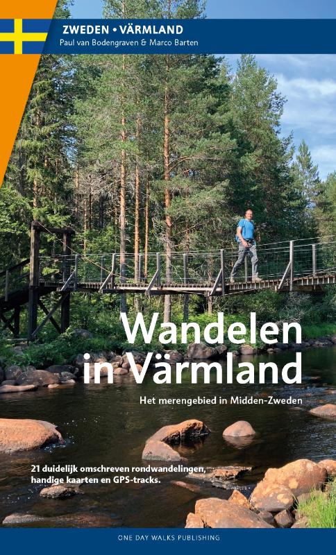
- Walking in Värmland - The Lake Region of Central Sweden
- Walking in Värmland is One Day Walks Publishing`s guide to walking in the picturesque lake region of Central Sweden. A total of 22 walks are included in the guide, ranging in length from 5.5 - 20 kilometres, thus being suitable for a wide range of walking standards. Each walk opens with an Information box detailing details about the walk,... Read more
Kaarten
De Zwerver
Netherlands
2022
Netherlands
2022
De Zwerver
Netherlands
Netherlands
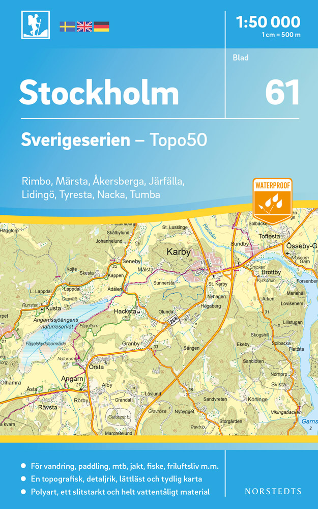
- Wandelkaart - Topografische kaart 61 Sverigeserien Stockholm | Norstedts
- Sverigeserien is an outdoor map series consisting of 116 sheets with coverage of southern and central Sweden and the northern coastline. The map is suitable for outdoor activities such as hiking, excursions, trail running, hunting, fishing, riding, cycling, mountain biking, paddling, skating and much more. Every sheet covers an area of... Read more
De Zwerver
Netherlands
Netherlands
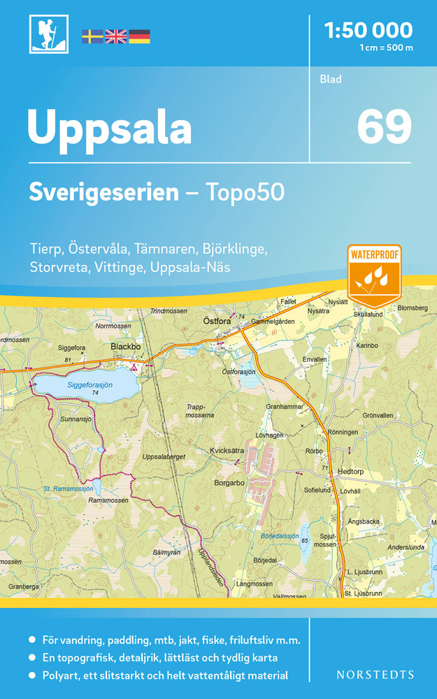
- Wandelkaart - Topografische kaart 69 Sverigeserien Uppsala | Norstedts
- Sverigeserien is an outdoor map series consisting of 116 sheets with coverage of southern and central Sweden and the northern coastline. The map is suitable for outdoor activities such as hiking, excursions, trail running, hunting, fishing, riding, cycling, mountain biking, paddling, skating and much more. Every sheet covers an area of... Read more
De Zwerver
Netherlands
Netherlands
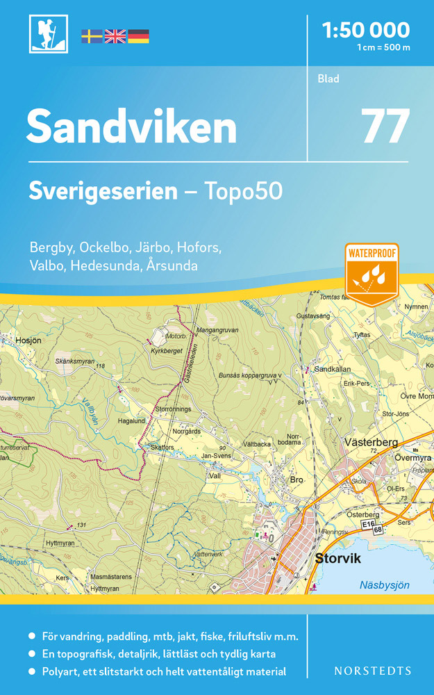
- Wandelkaart - Topografische kaart 77 Sverigeserien Sandviken | Norstedts
- Sverigeserien is an outdoor map series consisting of 116 sheets with coverage of southern and central Sweden and the northern coastline. The map is suitable for outdoor activities such as hiking, excursions, trail running, hunting, fishing, riding, cycling, mountain biking, paddling, skating and much more. Every sheet covers an area of... Read more
De Zwerver
Netherlands
Netherlands
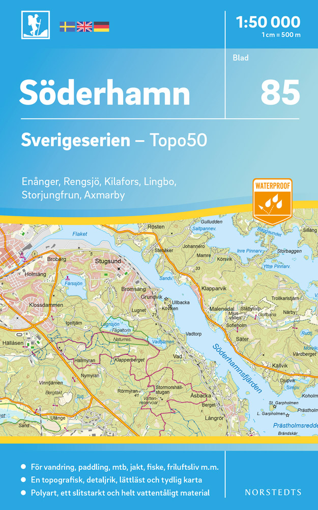
- Wandelkaart - Topografische kaart 85 Sverigeserien Söderhamn | Norstedts
- Sverigeserien is an outdoor map series consisting of 116 sheets with coverage of southern and central Sweden and the northern coastline. The map is suitable for outdoor activities such as hiking, excursions, trail running, hunting, fishing, riding, cycling, mountain biking, paddling, skating and much more. Every sheet covers an area of... Read more
De Zwerver
Netherlands
2017
Netherlands
2017
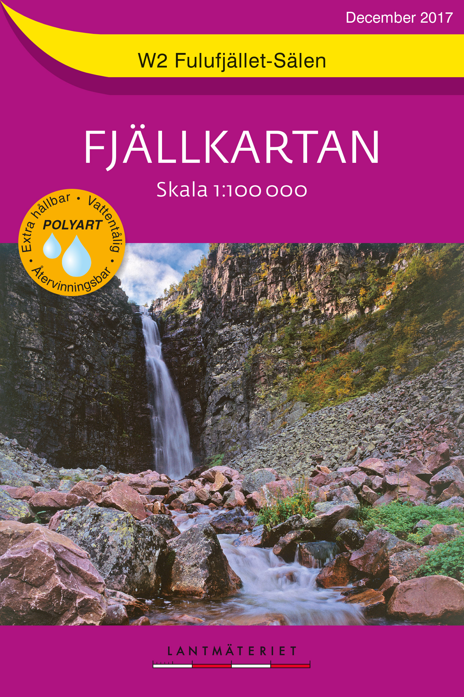
- Wandelkaart W2 Fjällkartan Fulufjället - Sälen | Lantmäteriet
- Mountain areas of central and northern Sweden on waterproof and tear-resistant, GPS compatible topographic �Fj�llkartan� maps at 1:100,000 and 1:50,000 from Lantm�teriet - the country�s national survey organization, with hiking and ski routes, campsites and youth hostels, etc. Relief is shown by contours at 20m intervals and enhanced by relief ... Read more
De Zwerver
Netherlands
Netherlands
De Zwerver
Netherlands
Netherlands
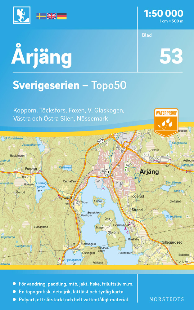
- Wandelkaart - Topografische kaart 53 Sverigeserien Årjäng | Norstedts
- Sverigeserien is an outdoor map series consisting of 116 sheets with coverage of southern and central Sweden and the northern coastline. The map is suitable for outdoor activities such as hiking, excursions, trail running, hunting, fishing, riding, cycling, mountain biking, paddling, skating and much more. Every sheet covers an area of... Read more
De Zwerver
Netherlands
2021
Netherlands
2021
De Zwerver
Netherlands
Netherlands
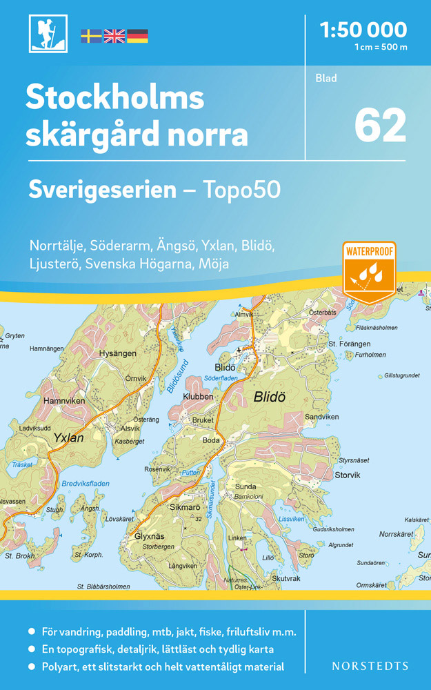
- Wandelkaart - Topografische kaart 62 Sverigeserien Stockholms Skärgård norra | Norstedts
- Sverigeserien is an outdoor map series consisting of 116 sheets with coverage of southern and central Sweden and the northern coastline. The map is suitable for outdoor activities such as hiking, excursions, trail running, hunting, fishing, riding, cycling, mountain biking, paddling, skating and much more. Every sheet covers an area of... Read more
De Zwerver
Netherlands
Netherlands
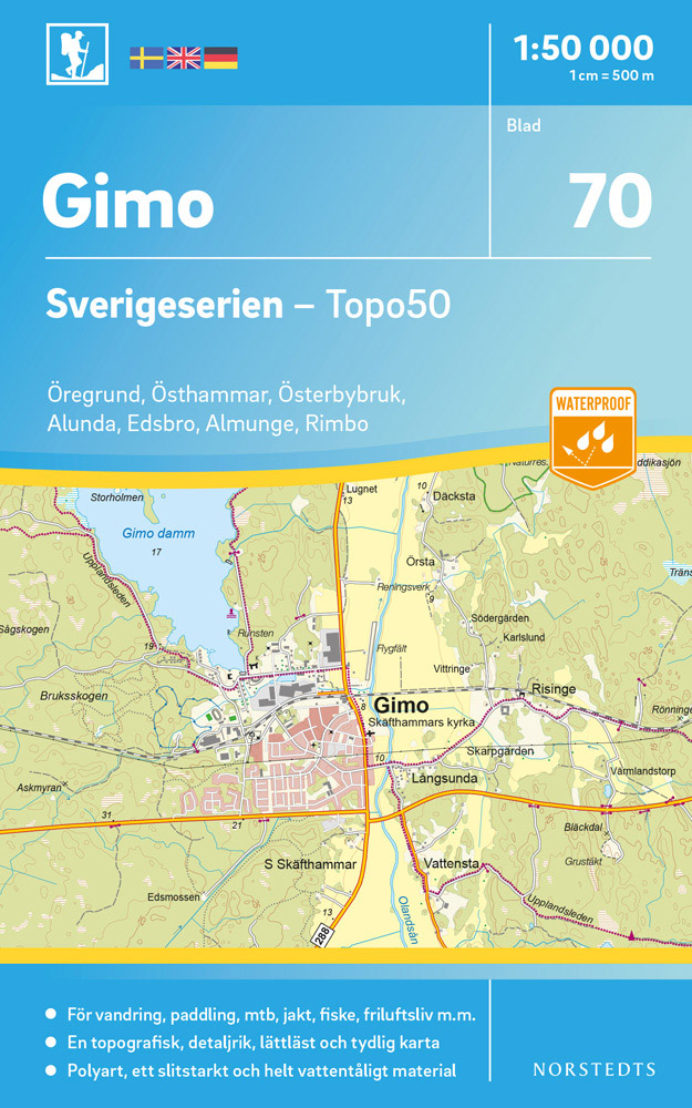
- Wandelkaart - Topografische kaart 70 Sverigeserien Gimo | Norstedts
- Sverigeserien is an outdoor map series consisting of 116 sheets with coverage of southern and central Sweden and the northern coastline. The map is suitable for outdoor activities such as hiking, excursions, trail running, hunting, fishing, riding, cycling, mountain biking, paddling, skating and much more. Every sheet covers an area of... Read more
De Zwerver
Netherlands
2022
Netherlands
2022