
Turkije
Beschrijving

This immense country owes its first two long distance hiking trails to Kate Clow and Terry Richardson: the Lycian Way and St. Paul's Trail. Both trails measure about 500km and lead through the southwest corner of the country, which is well-known among tourists. There are guidebooks and the trails are marked. The Lycian Way even has signposts to show the way. Lodging can be found in the villages en route, but a tent can come in handy. Both trails can be pretty demanding, climbing and descending. Avoid the scorching summer season. Early spring or late autumn are the best.
In recent years more hiking trails are being developed in Turkey. They are waymarked in red and white, and some are only just in the process of being documented. Take the northeastern Kaçkar mountains, an alpine range with lots of lakes and peaks reaching up to almost 4000m. More networks of trails have been set out in the forests of Yenice, in the mountains near Eskipazar, and in the Küre mountains, all to the north of Ankara and in areas of great natural beauty. Other new trails have emerged emphasizing Turkish cultural history: the Independence Way, the Evliya Celebi Way, the Phrygian Way and the Hittite Trails. One of the latest additions is the Sultan's Trail, all the way from Vienna to Istanbul.
A few mountains in Turkey are reasonably opened up for hiking. For instance the legendary Mount Ararat (5165m), where some still believe the Arc of Noah can be found. Climbing the mountain, actually a volcano, requires a small expedition and some daredevil clambering.
Many tourists visit the bizarre Cappadocia mountains, volcanic in origin. Some hiking possibilities have sprung up here. Of course there is much more to see and hike in Turkey, but most of it requires an adventurous mind and willingness to find your own way.
Paden
Regios
Bergen
Links
Feiten
Verslagen
Gidsen en kaarten
Overnachting
Organisaties
Reisorganisaties
GPS
Anders
Boeken
Netherlands
2015
- Reisgids Oost Turkije - Osttürkei | Trescher Verlag
- Goede Duitstalige reisgids over een nauwelijks bezocht oostelijk deel van Turkije. Veel beschrijvingen van cultuur, bevolking en bezienswaardigheden. Daarnaast ook praktische informatie. (Duitstalig) Der Osten ist der unbekanntere Teil der Türkei. Fernab üblicher Tourismuspfade gibt es hier eine faszinierende Welt zu entdecken: Die verblüffende... Read more
Netherlands
2017
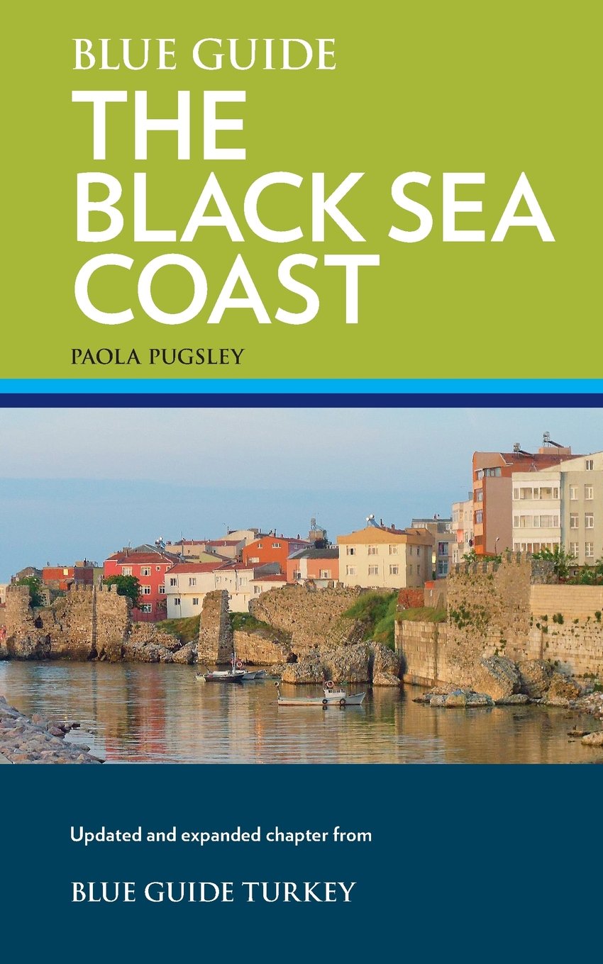
- Reisgids the Black Sea Coast - Zwarte Zeekust Turkije | Blue Guides
- Engelstalige cultuurgids, gericht op musea en culturele geschiedenis. Zeer goede beschrijvingen van hoog nivo. Voor de liefhebber de ware gids! Veel tekeningen en plattegronden. The Black Sea, hostile and hospitable by turns, a land of towering mountain peaks, green tea plantations and thick forests, has always attracted civilisation to its... Read more
Netherlands
2017
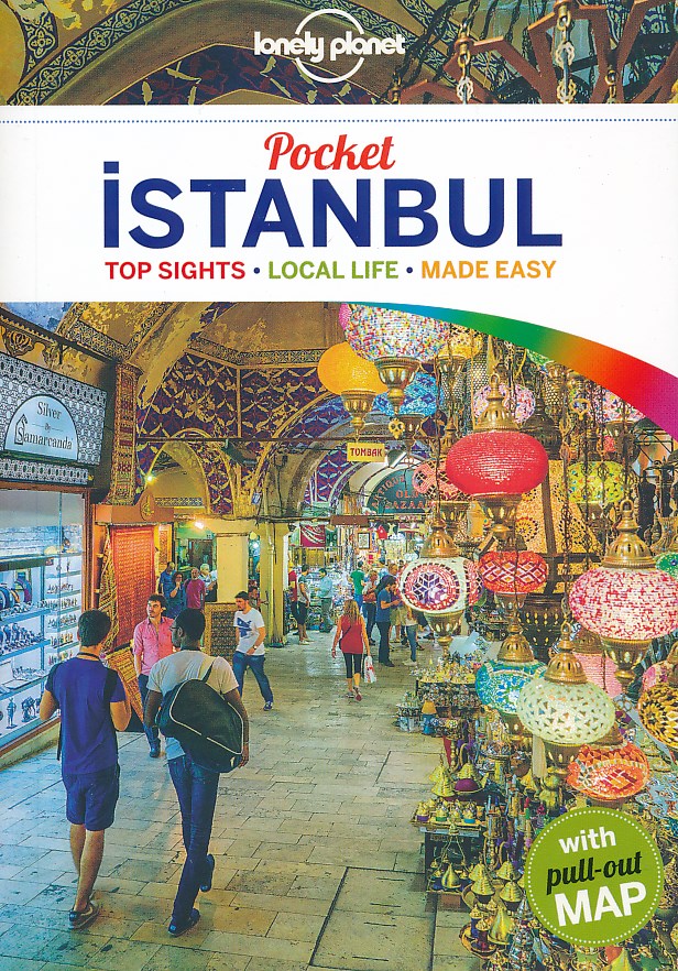
- Reisgids Pocket Istanbul | Lonely Planet
- Pocket reisgidsen van Lonely Planet zijn een kleinere versie dan de 'echte' Planets. Vaak echter van bijzondere bestemmingen binnen een bepaald land waardoor er meer aandacht is en uitgebreidere tips zijn voor die bepaalde streek i.v.m. de grote Planets. Handzaam formaat, makkelijk in de binnenzak! Tcoh ook deze vol met praktische informatie.... Read more
Netherlands
2015
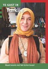
- Reisgids Te gast in Turkije | Informatie Verre Reizen
- Samengesteld door en voor reizigers: verhalen van mensen die er gewoond of gereisd hebben. Literatuurlijst, praktische tips, vooral veel achtergrond- en cultuur informatie. De vernieuwde TE GAST IN-pocket over Turkije bevat enkele opmerkelijke achtergrondverhalen en inspirerende reisreportages. De verhalen zijn geschreven door vijf vrouwelijke... Read more
Netherlands
2015
- Reisgids Türkei Mittelmeerküste - Turkije middellandse zeekust | Michael Müller Verlag
- Zeer gedegen duitse reisgids. Zowel achtergronden over cultuur, bevolking als landschap, maar ook veel praktische informatie over hoe je waar wat zou willen zien. Aandacht voor alle aspecten van de regio. Rund 2.500 km Küstenlinie trennen den Dardanellenort Çanakkale von Antakya an der syrischen Grenze. Wer die gesamte Strecke... Read more
Netherlands
2015
- Reisgids Türkische Riviera - Kappadokien | Michael Müller Verlag
- Een van de weinige gidsen die beduidend meer aandacht geeft aan Kappadocie. Veel informatie over cultuur en bevolking, daarnaast ook praktische info over slapen, eten en vervoer. Duitstalig. Kaum ein anderer Küstenabschnitt der Türkei wird von deutschen Urlaubern mehr geschätzt als der zwischen Antalya und Antakya: Die türkische Riviera lockt... Read more
Netherlands
2012
- Reisgids Kunstreiseführer Türkei - Zentralanatolien | Dumont
- Zwischen Phrygien, Ankara und Kappadokien DuMont Kunst-Reiseführer. 4. Auflage. Read more
Netherlands
- Travelling Rough on the Hippie Trail
- In 1967 Asta lives in Sydney's Kings Cross, famous for strip clubs, gambling dens, artists and beatniks. After a failed relationship she drops out of her office job, joins a band led by an Aborigine blues singer and is introduced to LSD by a mysterious older man at a teenage party.When she meets her new partner they decide toseek spiritual... Read more
- Also available from:
- Bol.com, Belgium
Belgium
- Travelling Rough on the Hippie Trail
- In 1967 Asta lives in Sydney's Kings Cross, famous for strip clubs, gambling dens, artists and beatniks. After a failed relationship she drops out of her office job, joins a band led by an Aborigine blues singer and is introduced to LSD by a mysterious older man at a teenage party.When she meets her new partner they decide toseek spiritual... Read more
Kaarten
Netherlands
- Wegenkaart - landkaart Turkije | Freytag & Berndt
- Türkei 1 : 800 000. Autokarte ab 10.9 EURO Cityplan, Touristische Informationen, Ortsregister. Ideal für Autofahrer und Urlauber, Informationss Freytag & Berndt Autokarte. Neuauflage, Laufzeit bis 2016 Read more
Netherlands
2012
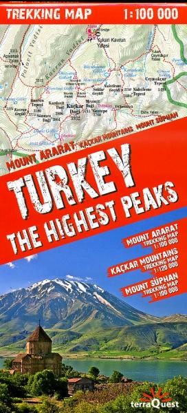
- Wandelkaart Trekking map Turkije - Turkey, the highest peaks | TerraQuest
- Geplastificeerde trekking map, goede cartografie, van de omgevingen van Mount Ararat, het Kaçkar massief en Mount Süphan (ten noorden van het meer van Van). Diverse routes ingetekend. Read more
- Also available from:
- Stanfords, United Kingdom

United Kingdom
2012
- Turkey`s Highest Peaks - Mount Ararat - Kackar Mountains - Mount Suphan terraQuest Trekking Map
- Three of Turkey’s most popular trekking regions: Mount Ararat, Kaçkar Mountains and Mount Süpan on a durable, waterproof and tear-resistant map from terraQuest, plus an overview road map of the eastern part of the country. On one side is a map the Kaçkar Mountains at 1:120,000 covering an area from Ipsir to Artvin and northwards to Ikizdere and... Read more
Netherlands
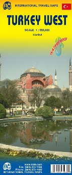
- Wegenkaart - landkaart West Turkije - Turkey west | ITMB
- Turkey West Travel Map 1 : 550 000 ab 10.49 EURO International Travel Map ITM. 1st edition Read more
Netherlands
Netherlands
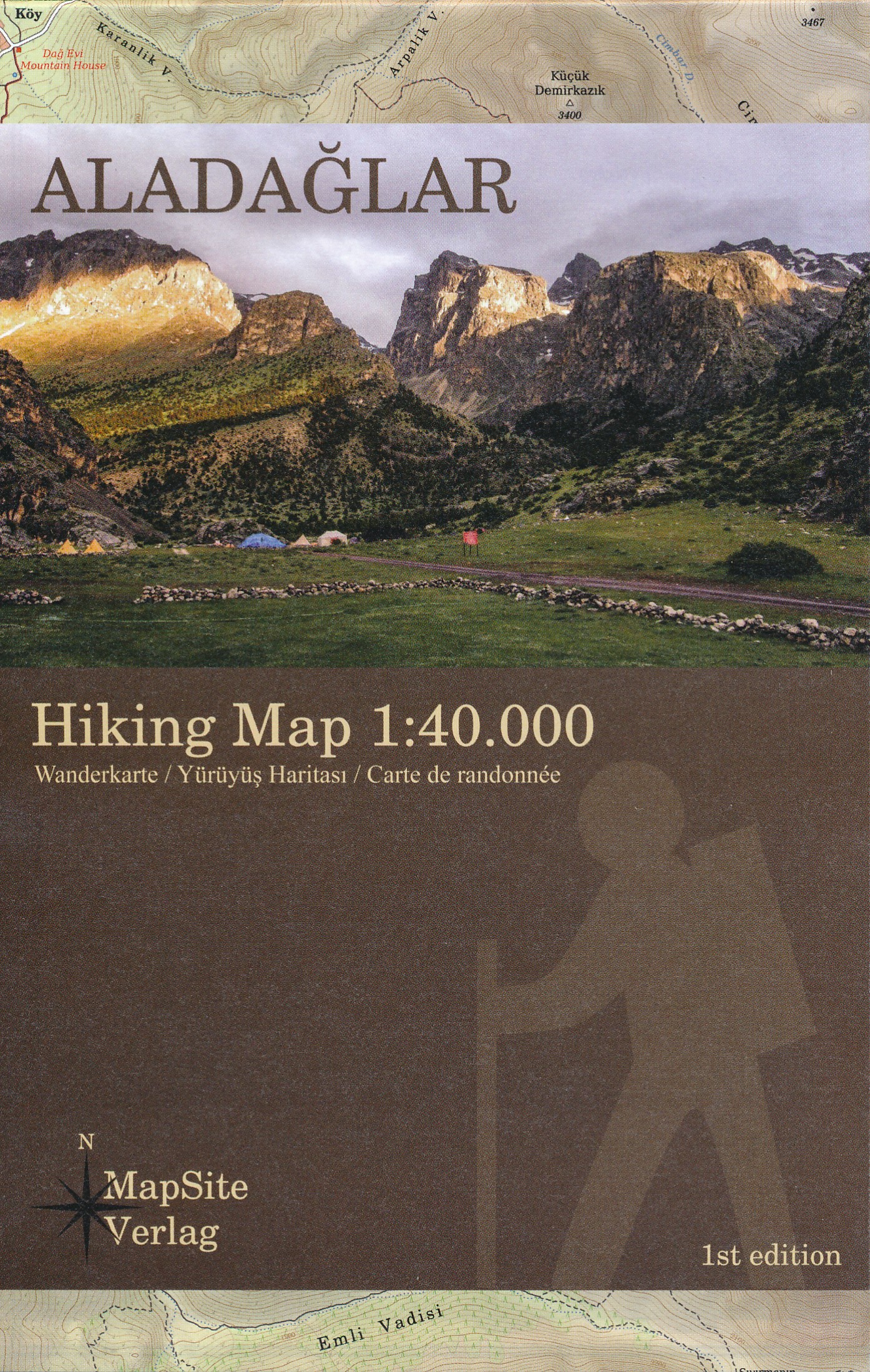
- Wandelkaart Aladaglar | MapSite Verlag
- Goede gedetailleerde wandelkaart van dit specifieke gebied in centraal Turkije. Deze kaart is ook de gebruiken als klimkaart. Veel wandelpaden staan ingeteknd op deze kaart, al dan niet gemarkeerd. ook is de meerdaagse bergtocht TA1 ingetekend. Met hoogtelijnen, reliëfschaduwing; symbolen voor campings en onderdak, bevoorrading, openbaar... Read more

United Kingdom
- G28 Nisos Khios & the Coast of Turkey
- Plans included: Approaches to Psara (Nisos Psara) (1:15,000) Approaches to Khios (Nisos Khios) (1:20,000) Ormos Mandraki (Nisos Oinoussa) (1:8,000) Cesme Korfezi (Turkey) (1:18,000) Foca Limani (Turkey) (1:20,000) Sigacik Limani (Turkey) (1:18,000) On this 2013 edition full details of the new TSS schemes are shown at Izmir Korfezi, Candarli... Read more

United Kingdom
- G27 Nisos Lesvos & the Coast of Turkey
- Imray’s series of charts of Greece and Turkey are comprehensive and easy-to-use sailing charts published on rip-proof, waterproof paper- ideal for use on small tables or in cockpits. They show detailed coastline and depth information, and are constantly corrected to reflect latest information. Designed primarily for yachtsmen, they are... Read more
United Kingdom
- Germany Marco Polo Road Atlas 2021/2022
- Germany Road Atlas at 1:300,000 from MairDumont in an A4 spiral-bound format, with 10 enlargements at 1:100,000 showing the Ruhr and other large urban conurbations in greater detail, street plans of 35 main cities, mapping of Europe for route planning, etc. A special feature of MairDumont’s range of “Marco Polo” maps and atlases is a set of... Read more

United Kingdom
- Lycia West Hiking 2-Map Set
- A set of two hiking maps for the western part of Lycia inclunding the Lycian Way. A scale of 1:50.000, hillshading, contous with a equidistance of 25m and a UTM-Grid (for GPS-usage) etc. makes this maps to an ideal guide for visitors and those, who walk the Lycian Way. Read more

United Kingdom
- Lycia East Hiking 2-Map Set
- A set of two hiking maps for the western part of Lycia inclunding the Lycian Way. A scale of 1:50.000, hillshading, contous with a equidistance of 25m and a UTM-Grid (for GPS-usage) etc. makes this maps to an ideal guide for visitors and those, who walk the Lycian Way. Read more