
Forest of Bowland
Beschrijving
Hills, moorland, gritstone fells, in northern England, north of Manchester. The central area is an Area of Outstanding Natural Beauty. The word "Forest" does not so much denote a collection of trees, but rather a royal hunting ground. The area is barren. The hills rise to 500 - 600 m. The Forest of Bowland is a good destination for those hikers who enjoy the more desolate areas.
Paden in deze regio
Links
Feiten
Verslagen
Gidsen en kaarten
Overnachting
Organisaties
Reisorganisaties
GPS
Anders
Boeken

De Zwerver
Netherlands
Netherlands
- Also available from:
- Stanfords, United Kingdom

Stanfords
United Kingdom
United Kingdom
- Reading & Windsor - Henley-on-Thames & Bracknell OS Landranger Map 175 (paper)
- Reading – Windsor area, including a section of the Thames Path / E2 European Long-distance Path, on a paper version of map No. 175 from the Ordnance Survey’s Landranger series at 1:50,000, with contoured and GPS compatible topographic mapping plus tourist information.MOBILE DOWNLOADS: As well as the physical edition of the map, each Landranger... Read more

De Zwerver
Netherlands
Netherlands
- Also available from:
- Stanfords, United Kingdom

Stanfords
United Kingdom
United Kingdom
- Kettering, Corby, Market Harborough & Stamford OS Landranger Map 141 (paper)
- The area around Kettering, Corby, Market Harborough and Stamford, including Rockingham Forest and part of the E2 European Long-distance Path, on a paper version of map No. 141 from the Ordnance Survey’s Landranger series at 1:50,000, with contoured and GPS compatible topographic mapping plus tourist information.MOBILE DOWNLOADS: As well as the... Read more

De Zwerver
Netherlands
Netherlands
- Also available from:
- Stanfords, United Kingdom

Stanfords
United Kingdom
United Kingdom
- Birmingham, Wolverhampton & The Black Country OS Landranger Map 139 (paper)
- Birmingham with the surrounding area including the Black Country, Wolverhampton, Walsall, Solihull, Stourbridge, Bromsgrove and a section of the E2 European Long-distance Path on a paper version of map No. 139 from the Ordnance Survey’s Landranger series at 1:50,000, with contoured and GPS compatible topographic mapping plus tourist... Read more
De Zwerver
Netherlands
2015
Netherlands
2015
- Also available from:
- Stanfords, United Kingdom

Stanfords
United Kingdom
2015
United Kingdom
2015
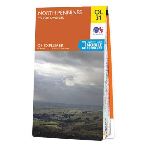
- North Pennines: Teesdale & Weardale OS Explorer Map OL31 (paper)
- The northern part of the Pennines including Teesdale and Weardale on a detailed topographic and GPS compatible map OL31, paper version, from the Ordnance Survey’s 1:25,000 Explorer series. Coverage include Barnard Castle, Middleton-in-Teesdale, Stanhope, Blagill, Gilderdale Forest, Milburn Forest, Hamsterley Forest, Middleton Common, the peaks... Read more
De Zwerver
Netherlands
2022
Netherlands
2022
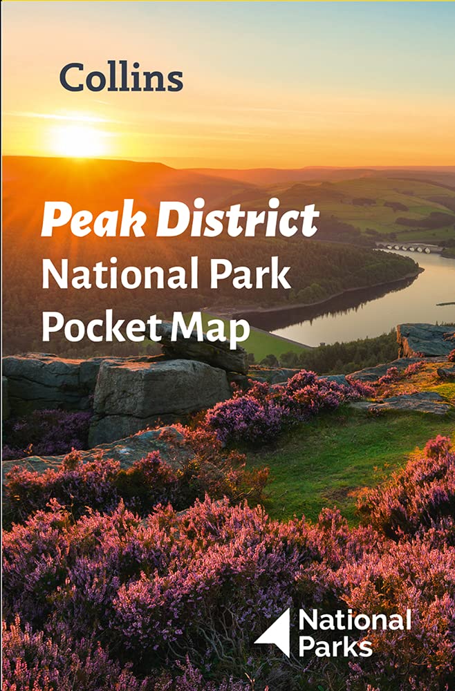
- Wegenkaart - landkaart National Park Pocket Map Peak District | Collins
- Handy little full colour map of Peak District National Park. Detailed mapping and visitor information to the National Park along with a selection of photographs. Map at a scale of 1:120 000 (1cm to 1.20km, 1.9 miles to 1 inch). This small map gives a great overview of the Peak District National Park, and is the perfect... Read more
De Zwerver
Netherlands
2015
Netherlands
2015
- Also available from:
- Stanfords, United Kingdom

Stanfords
United Kingdom
2015
United Kingdom
2015
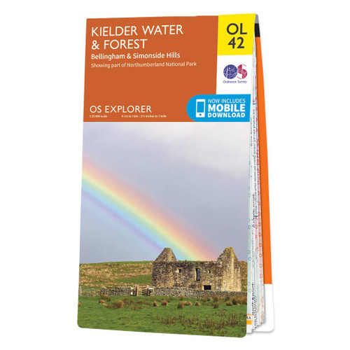
- Kielder Water & Forest - Bellingham & Simonside Hills OS Explorer Map OL42 (paper)
- Kielder Water and Kielder Forest on a detailed topographic and GPS compatible map OL42, paper version, from the Ordnance Survey’s 1:25,000 Explorer series. Coverage includes Simonside Hills, Kershope Forest, Liddesdale, Sweethope Loughs, the peaks of The Dodd, Muckle Knowe, Mid Fell, the lakeside circuit around the Kielder Water, a section of... Read more
Bol.com
Netherlands
Netherlands
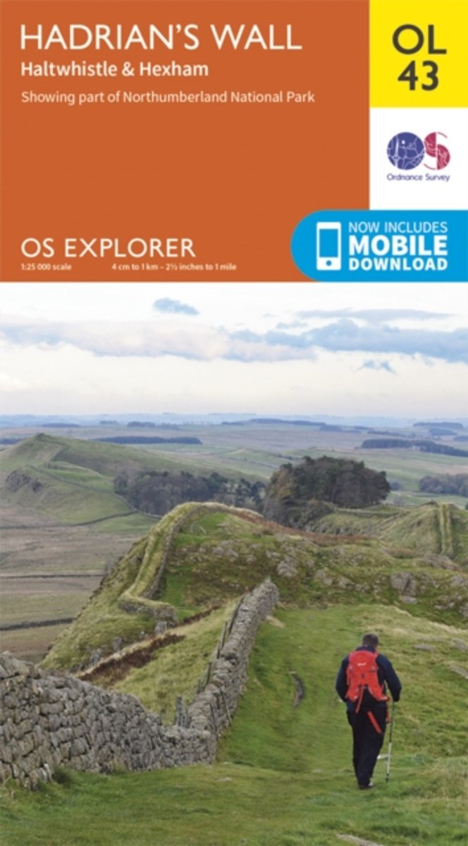
- Hadrian's Wall, Haltwhistle & Hexham
- OS Explorer is the Ordnance Survey's most detailed map and is recommended for anyone enjoying outdoor activities like walking, horse riding and off-road cycling. The OS Explorer range of OL maps now includes a digital version of the paper map, accessed through the OS smartphone app, OS Maps. Providing complete GB coverage the series details... Read more
- Also available from:
- Bol.com, Belgium
Bol.com
Belgium
Belgium
- Hadrian's Wall, Haltwhistle & Hexham
- OS Explorer is the Ordnance Survey's most detailed map and is recommended for anyone enjoying outdoor activities like walking, horse riding and off-road cycling. The OS Explorer range of OL maps now includes a digital version of the paper map, accessed through the OS smartphone app, OS Maps. Providing complete GB coverage the series details... Read more
Bol.com
Netherlands
Netherlands
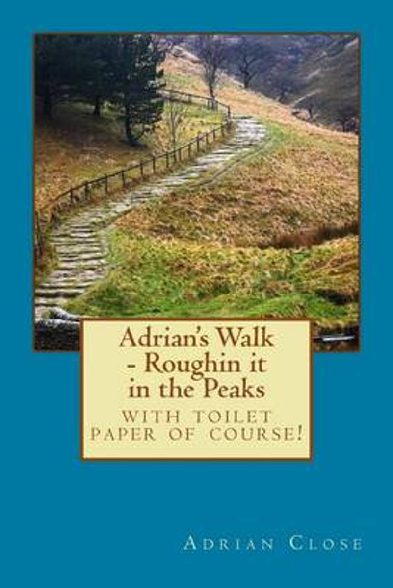
- Adrian's Walk
- Adrians Walk is an energising and energetic celebration of Britains most popular outdoor pastime. £1 from every sale of the guide will be donated to The Edale Mountain rescue Team.The route takes you from the meandering and peaceful country lanes of the White Peaks; to single dirt tracks and strenuous uphill slogs in the Dark Peaks. The... Read more
- Also available from:
- Bol.com, Belgium
- The Book Depository, United Kingdom
Bol.com
Belgium
Belgium
- Adrian's Walk
- Adrians Walk is an energising and energetic celebration of Britains most popular outdoor pastime. £1 from every sale of the guide will be donated to The Edale Mountain rescue Team.The route takes you from the meandering and peaceful country lanes of the White Peaks; to single dirt tracks and strenuous uphill slogs in the Dark Peaks. The... Read more


Bol.com
Netherlands
Netherlands
- In the Footprints of Wainwright
- Derry Brabbs spent the best part of a decade taking the photographs for the large-format illustrated walking guides which A. Wainwright wrote from 1984 to 1992, when his legendary series of Pictorial Guides to the Lakeland Fells was complete. This is a fascinating account of Derry's training and adventures from his early days as a photographer,... Read more
- Also available from:
- Bol.com, Belgium
Bol.com
Belgium
Belgium
- In the Footprints of Wainwright
- Derry Brabbs spent the best part of a decade taking the photographs for the large-format illustrated walking guides which A. Wainwright wrote from 1984 to 1992, when his legendary series of Pictorial Guides to the Lakeland Fells was complete. This is a fascinating account of Derry's training and adventures from his early days as a photographer,... Read more
De Zwerver
Netherlands
2022
Netherlands
2022
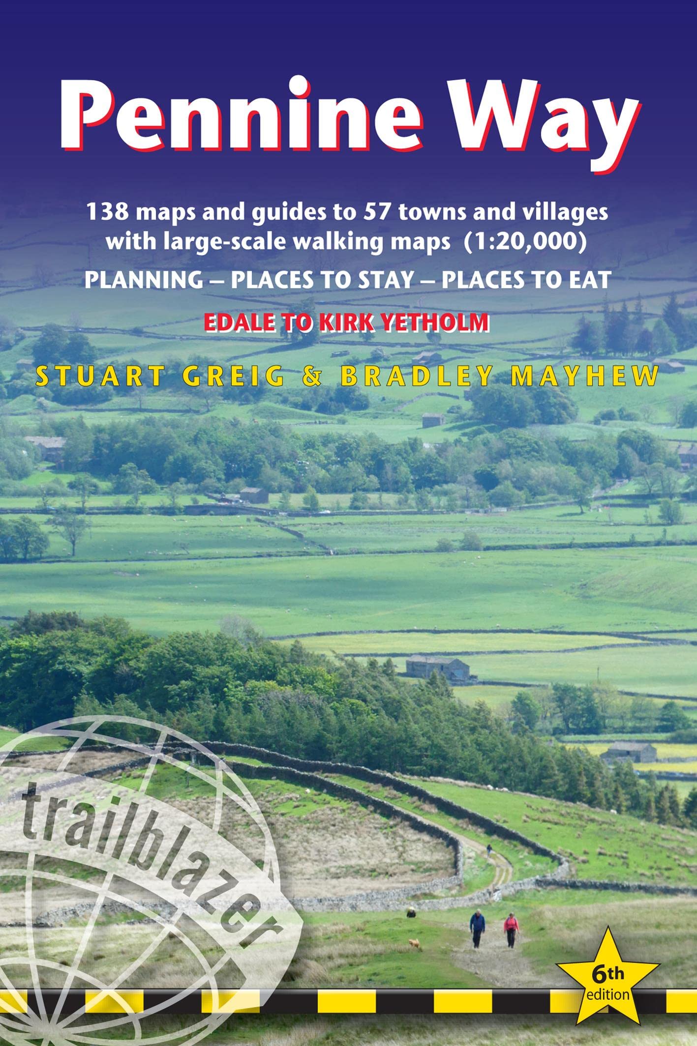
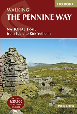
- Wandelgids The Pennine Way | Cicerone
- Guidebook to the Pennine Way National Trail with OS map booklet. The 270-mile route from Edale to Kirk Yetholm takes three weeks to walk and is suitable for fit and experienced long distance walkers. The route crosses the Peak District, Yorkshire Dales and North Pennines National Parks. Includes separate OS 1:25,000 map booklet of the route. Read more
- Also available from:
- Bol.com, Netherlands
- Bol.com, Belgium
- Stanfords, United Kingdom
- The Book Depository, United Kingdom

Bol.com
Netherlands
2017
Netherlands
2017
- The Pennine Way
- The Pennine Way is Britain's oldest, toughest long-distance footpath - and arguably its most iconic. Now a National Trail, the 427km (2651/2 mile) route from Edale in Derbyshire to Kirk Yetholm in the Scottish Borders offers wayfarers the opportunity to immerse themselves in wild beauty of the North. The Pennines boast rolling hills, sweeping... Read more
Bol.com
Belgium
2017
Belgium
2017
- The Pennine Way
- The Pennine Way is Britain's oldest, toughest long-distance footpath - and arguably its most iconic. Now a National Trail, the 427km (2651/2 mile) route from Edale in Derbyshire to Kirk Yetholm in the Scottish Borders offers wayfarers the opportunity to immerse themselves in wild beauty of the North. The Pennines boast rolling hills, sweeping... Read more

Stanfords
United Kingdom
2017
United Kingdom
2017
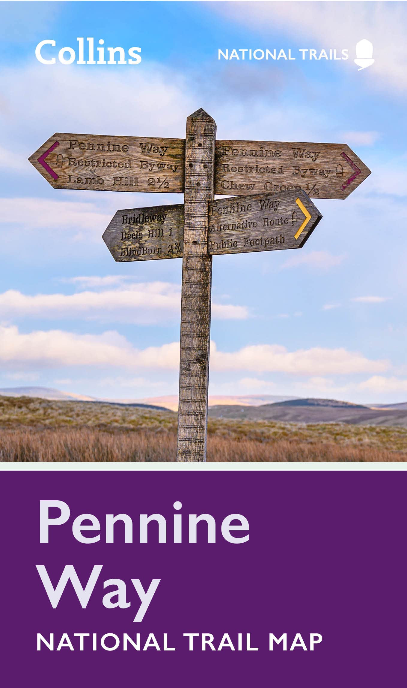
- The Pennine Way: From Edale to Kirk Yetholm
- The Pennine Way is Britain`s oldest, toughest long-distance footpath - and arguably its most iconic. Now a National Trail, the 427km (2651/2 mile) route from Edale in Derbyshire to Kirk Yetholm in the Scottish Borders offers wayfarers the opportunity to immerse themselves in wild beauty of the North. The Pennines boast rolling hills, sweeping... Read more

De Zwerver
Netherlands
2006
Netherlands
2006
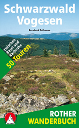
- Wandelgids Schwarzwald - Vogesen | Rother Bergverlag
- Uitstekende wandelgids van het Zwarte Woud en een deel van de Vogezen. Nauwkeurig beschreven met praktische info per tocht. De ‘Rother Wanderbücher’ behandelen telkens de 50 mooiste wandelingen, die variëren van eenvoudige kindvriendelijke wandelingen tot routes die aanzienlijk meer ervaring vereisen. Uitvoerige routebeschrijvingen, een... Read more
- Also available from:
- Bol.com, Netherlands
- Bol.com, Belgium
Bol.com
Netherlands
2006
Netherlands
2006
- Schwarzwald - Vogesen
- Die schönsten und spannendsten Wanderberge im Schwarzwald und in den Vogesen präsentiert dieser Führer in einer Auswahl von 50 Wandervorschlägen für jede Kondition. Vom alpinen Steig am Feldberg, der höchsten Erhebung der deutschen Mittelgebirge, spannt sich der Bogen bis zum Grand Ballon, dem höchsten Berg der Vogesen, vom Belchen als dem... Read more
Bol.com
Belgium
2006
Belgium
2006
- Schwarzwald - Vogesen
- Die schönsten und spannendsten Wanderberge im Schwarzwald und in den Vogesen präsentiert dieser Führer in einer Auswahl von 50 Wandervorschlägen für jede Kondition. Vom alpinen Steig am Feldberg, der höchsten Erhebung der deutschen Mittelgebirge, spannt sich der Bogen bis zum Grand Ballon, dem höchsten Berg der Vogesen, vom Belchen als dem... Read more
Bol.com
Netherlands
Netherlands
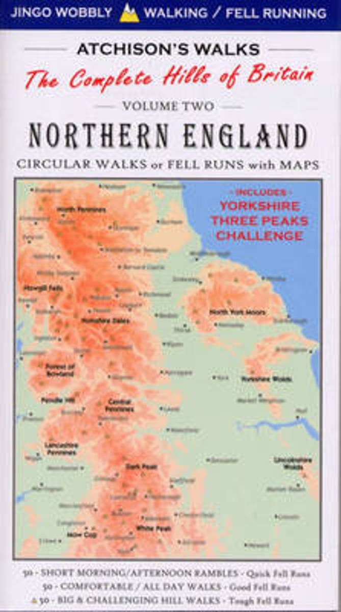
- Atchison's Walks
- Atchison's Walks - The Complete Hills of Britain Series - is a guidebook series in 10 volumes. Each book divides a region of Britain into 50 separate hill walking areas, and then illustrates 3 superb walks for each area; a short morning/afternoon ramble, an all day hill walk, and a challenging big circuit to either walk or fell run. Northern... Read more
- Also available from:
- Bol.com, Belgium
- Stanfords, United Kingdom
Bol.com
Belgium
Belgium
- Atchison's Walks
- Atchison's Walks - The Complete Hills of Britain Series - is a guidebook series in 10 volumes. Each book divides a region of Britain into 50 separate hill walking areas, and then illustrates 3 superb walks for each area; a short morning/afternoon ramble, an all day hill walk, and a challenging big circuit to either walk or fell run. Northern... Read more

Stanfords
United Kingdom
United Kingdom
- Atkinsons Walks V2 - Northern England
- ”Atchison`s Walks - The Complete Hills of Britain Series” - is a guidebook series in 10 volumes. Each book divides a region of Britain into 50 separate hill walking areas, and then illustrates 3 superb walks for each area; a short morning/afternoon ramble, an all day hill walk, and a challenging big circuit to either walk or fell run. ”Northern... Read more
Kaarten

De Zwerver
Netherlands
2020
Netherlands
2020
- Fietskaart Yorkshire Dales Touring / Nidderdale Area of NB | Harvey Maps
- Yorkshire Dales on a road map at 1:100,000 from Harvey Map Services with several enlargements showing main roads across local towns, plus descriptions of interesting locations, advice on public transport, etc. The map shows the Dales region with altitude colouring to indicate the region Read more
- Also available from:
- Stanfords, United Kingdom

Stanfords
United Kingdom
2020
United Kingdom
2020
- Yorkshire Dales Harvey Touring & Planning Map
- Yorkshire Dales on a road map at 1:100,000 from Harvey Map Services with several enlargements showing main roads across local towns, plus descriptions of interesting locations, advice on public transport, etc. The map shows the Dales region with altitude colouring to indicate the region’s topography. Long-distance trails such as the Dales Way,... Read more

De Zwerver
Netherlands
Netherlands
- Wandelkaart Pennine Way South | Harvey Maps
- The southern section of the Pennine Way between Edale and Horton in Ribblesdale on a waterproof and tear-resistant map at 1:40,000 from Harvey Map Services presenting the route accompanied by extensive additional tourist information.Divided into six panels, the route is shown on mapping with contours at 15m intervals enhanced by additional... Read more
- Also available from:
- Stanfords, United Kingdom

Stanfords
United Kingdom
United Kingdom
- Pennine Way South Harvey XT40 National Trail Map
- The southern section of the Pennine Way between Edale and Horton in Ribblesdale on a waterproof and tear-resistant map at 1:40,000 from Harvey Map Services presenting the route accompanied by extensive additional tourist information.Divided into six panels, the route is shown on mapping with contours at 15m intervals enhanced by additional... Read more

De Zwerver
Netherlands
2014
Netherlands
2014
- Fietskaart Dales Noord | Harvey Maps
- The northern part of the Yorkshire Dales on a waterproof and tear-resistant, contoured and GPS compatible map at 1:40,000 from Harvey Map Services showing local right of way paths, long-distance hiking routes, off road cycling routes, etc.Topography is shown by contours at 15m intervals, with spot heights plus colouring and graphics to show... Read more
Bol.com
Netherlands
Netherlands
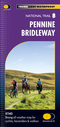
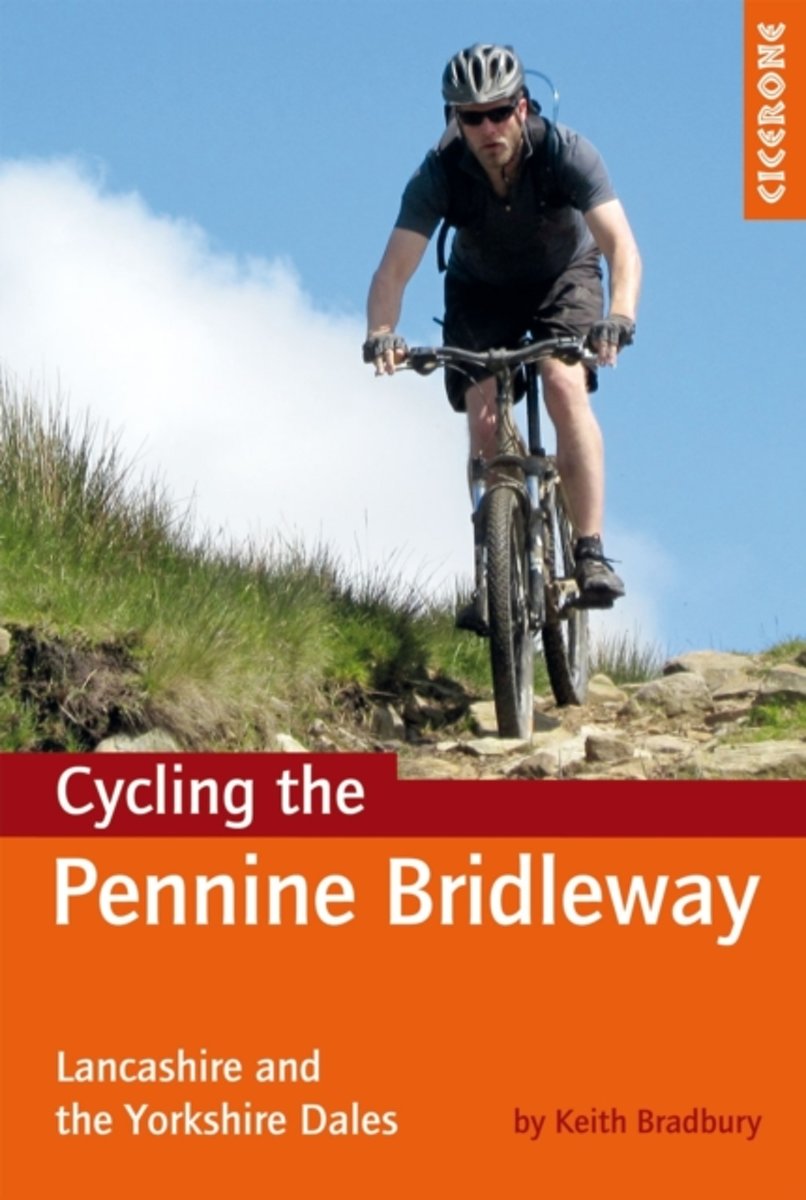
- Cycling the Pennine Bridleway
- This guidebook covers the northern stages of the Pennine Bridleway, through Lancashire, Yorkshire and Cumbria, a dedicated and waymarked mountain biking and horse-riding trail that opened in 2011. Using part of the Mary Towneley Loop, the route is described for mountain bikers from Summit, just outside Rochdale all the way to Ravenstonedale in... Read more
- Also available from:
- Bol.com, Belgium
- Stanfords, United Kingdom
Bol.com
Belgium
Belgium
- Cycling the Pennine Bridleway
- This guidebook covers the northern stages of the Pennine Bridleway, through Lancashire, Yorkshire and Cumbria, a dedicated and waymarked mountain biking and horse-riding trail that opened in 2011. Using part of the Mary Towneley Loop, the route is described for mountain bikers from Summit, just outside Rochdale all the way to Ravenstonedale in... Read more

Stanfords
United Kingdom
United Kingdom
- Pennine Bridleway Cycling: Lancashire and the Yorkshire Dales
- Cycling the Pennine Bridleway guide from Cicerone Press covering the 145-km / 90 mile route through Lancashire and the Yorkshire Dales, with stage-by-stage descriptions, OS Landranger map extracts, route profiles, information about local facilities and services, etc.The guide covers the current northern section of the Pennine Bridleway route,... Read more

De Zwerver
Netherlands
Netherlands
- Wandelkaart WKE2 La Palma | Freytag & Berndt
- Uitstekende wandelkaart van La Palma, tweezijdig, met ingetekende routes, hoogtelijnen en andere belangrijke informatie. Ook met fietsroutes, bovendien GPS geschikt! Read more
- Also available from:
- Bol.com, Netherlands
- Bol.com, Belgium
- The Book Depository, United Kingdom

Bol.com
Netherlands
Netherlands
- FB WKE2 La Palma
- Dubbelzijdige wandel- en vrijetijdskaart • toeristische tips • stadsplattegronden • fietspaden en mountainbikeroutes • GPS-punten • ski- en langlaufroutes Read more
Bol.com
Belgium
Belgium
- FB WKE2 La Palma
- Dubbelzijdige wandel- en vrijetijdskaart • toeristische tips • stadsplattegronden • fietspaden en mountainbikeroutes • GPS-punten • ski- en langlaufroutes Read more

The Book Depository
United Kingdom
United Kingdom
- La Palma Hiking + Leisure Map 1:30 000
- Uitstekende wandelkaart van La Palma, tweezijdig, met ingetekende routes, hoogtelijnen en andere belangrijke informatie. Ook met fietsroutes, bovendien GPS geschikt! Read more
Bol.com
Netherlands
2017
Netherlands
2017
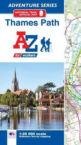
- Thames Path Adventure Atlas
- The A-Z Adventure series features the accuracy and quality of Ordnance Survey`s Explorer mapping in a convenient book, therefore eliminating the need to fold and re-fold a large sheet map to the desired area. OS Explorer is Ordnance Survey`s most detailed mapping at a scale of 1:25 000 showing public rights of way, open access land, national... Read more
- Also available from:
- Bol.com, Belgium
- Stanfords, United Kingdom
Bol.com
Belgium
2017
Belgium
2017
- Thames Path Adventure Atlas
- The A-Z Adventure series features the accuracy and quality of Ordnance Survey`s Explorer mapping in a convenient book, therefore eliminating the need to fold and re-fold a large sheet map to the desired area. OS Explorer is Ordnance Survey`s most detailed mapping at a scale of 1:25 000 showing public rights of way, open access land, national... Read more
Stanfords
United Kingdom
2017
United Kingdom
2017
- Thames Path A-Z Adventure Atlas
- The A-Z Adventure series features the accuracy and quality of Ordnance Survey`s Explorer mapping in a convenient book, therefore eliminating the need to fold and re-fold a large sheet map to the desired area. OS Explorer is Ordnance Survey`s most detailed mapping at a scale of 1:25 000 showing public rights of way, open access land, national... Read more

Bol.com
Netherlands
Netherlands
- England Coast Path Camber to Folkestone Adventure Map
- The A-Z Adventure Series of maps combines the best of OS and A-Z, creating the perfect companion for walkers, off-road cyclists, horse riders and anyone wishing to explore the great outdoors.This official Camber to Folkestone Adventure Map section of the England Coast Path, a new National Trail around England`s coast. More than just a path, it... Read more
- Also available from:
- Bol.com, Belgium
- Stanfords, United Kingdom
Bol.com
Belgium
Belgium
- England Coast Path Camber to Folkestone Adventure Map
- The A-Z Adventure Series of maps combines the best of OS and A-Z, creating the perfect companion for walkers, off-road cyclists, horse riders and anyone wishing to explore the great outdoors.This official Camber to Folkestone Adventure Map section of the England Coast Path, a new National Trail around England`s coast. More than just a path, it... Read more

Stanfords
United Kingdom
United Kingdom
- England Coast Path - Camber to Folkestone Adventure Map
- The A-Z Adventure Series of maps combines the best of OS and A-Z, creating the perfect companion for walkers, off-road cyclists, horse riders and anyone wishing to explore the great outdoors.This official Camber to Folkestone Adventure Map section of the England Coast Path, a new National Trail around England`s coast. More than just a path, it... Read more

Bol.com
Netherlands
Netherlands
- England Coast Path Folkestone to Ramsgate Adventure Map
- The A-Z Adventure Series of maps combines the best of OS and A-Z, creating the perfect companion for walkers, off-road cyclists, horse riders and anyone wishing to explore the great outdoors.This official Folkestone to Ramsgate Adventure Map section of the England Coast Path, a new National Trail around England`s coast. More than just a path,... Read more
- Also available from:
- Bol.com, Belgium
Bol.com
Belgium
Belgium
- England Coast Path Folkestone to Ramsgate Adventure Map
- The A-Z Adventure Series of maps combines the best of OS and A-Z, creating the perfect companion for walkers, off-road cyclists, horse riders and anyone wishing to explore the great outdoors.This official Folkestone to Ramsgate Adventure Map section of the England Coast Path, a new National Trail around England`s coast. More than just a path,... Read more

Stanfords
United Kingdom
United Kingdom
- Appleby-in-Westmorland 1903-1904
- Map No. 91, Appleby-in-Westmorland 1903-1904, in the Cassini Historical Series of old Ordnance Survey mapping of England and Wales at 1:50,000 in a format designed to offer a convenient comparison with the present day coverage from the OS, and most locations in three different editions. Old historical maps have been combined so that the sheet... Read more
Stanfords
United Kingdom
United Kingdom
- Wensleydale and Upper Wharfedale 1852-1925 (3-map set)
- Map No. 98, Wensleydale and Upper Wharfedale 1852-1925 (3-map set), in the Cassini Historical Series of old Ordnance Survey mapping of England and Wales at 1:50,000 in a format designed to offer a convenient comparison with the present day coverage from the OS, and most locations in three different editions. Old historical maps have been... Read more
Stanfords
United Kingdom
United Kingdom
- Manchester 1842-1844
- Map No. 109, Manchester 1842-1844, in the Cassini Historical Series of old Ordnance Survey mapping of England and Wales at 1:50,000 in a format designed to offer a convenient comparison with the present day coverage from the OS, and most locations in three different editions. Old historical maps have been combined so that the sheet lines... Read more

Stanfords
United Kingdom
United Kingdom
- Pennine Way North A-Z Adventure Atlas
- The Pennine Way North Adventure Atlas, presenting the northern section of the route between Kirk Yetholm in the Cheviot Hills and Bowes near Barnard Castle on mapping at 1:25,000 in a series of handy A5 size Adventure Atlases from Geographers` A-Z Map Company with cartography from the Ordnance Survey’s Explorer series. Coverage includes a large... Read more
Stanfords
United Kingdom
United Kingdom
- Wensleydale and Upper Wharfedale 1924-1925
- Map No. 98, Wensleydale and Upper Wharfedale 1924-1925, in the Cassini Historical Series of old Ordnance Survey mapping of England and Wales at 1:50,000 in a format designed to offer a convenient comparison with the present day coverage from the OS, and most locations in three different editions. Old historical maps have been combined so that... Read more
Stanfords
United Kingdom
United Kingdom
- Barnard Castle & Richmond 1925 - 92
- Map No. 92, Barnard Castle and Richmond 1925, in the Cassini Historical Series of old Ordnance Survey mapping of England and Wales at 1:50,000 in a format designed to offer a convenient comparison with the present day coverage from the OS, and most locations in three different editions. Old historical maps have been combined so that the sheet... Read more
Stanfords
United Kingdom
United Kingdom
- Wensleydale and Upper Wharfedale 1903-1904
- Map No. 98, Wensleydale and Upper Wharfedale 1903-1904, in the Cassini Historical Series of old Ordnance Survey mapping of England and Wales at 1:50,000 in a format designed to offer a convenient comparison with the present day coverage from the OS, and most locations in three different editions. Old historical maps have been combined so that... Read more