Lewis and Harris
Beschrijving
Lewis and Harris is the main islands of the Outer Hebrides. So, it's not two islands. Lewis is the northern part, pretty flat, and navigating over the moor requires map and compass. Harris is the mountainous south part of the island. There is no marked long distance trail on the island. But many shorter walks fan out into wild areas. Once you get all the way to this island, you will probably like to hop to the other islands too, each of which is very different in character.
Links
Feiten
Verslagen
Gidsen en kaarten
Overnachting
Organisaties
Reisorganisaties
GPS
Anders
Boeken
De Zwerver
Netherlands
2007
Netherlands
2007
- Reisgids Lewis and Harris - Pevensey Island Guides | Pevensey Island guides
- Meer fotoboek dan reisgids, maar wel eentje om perfect de sfeer te proeven van deze bijzonder eilanden. Suitable for the discerning tourist and island devotee, this work describes everything the visitor needs to know about the islands' heritage, landscape, climate, flora and fauna. It contains information on the key places of interest, from... Read more

Bol.com
Netherlands
Netherlands
- Land of Second Chances
- ** Winner of the British Sports Book Awards 2014 New Writer of the Year ** Where there is hope there can be redemption. Meet Adrien Niyonshuti, a member of the Rwandan cycling team. Adrien was seven years old when he lost his family in the 1994 genocide that tore Rwanda apart. Almost twenty years later he has a shot at representing his country... Read more
- Also available from:
- Bol.com, Belgium

Bol.com
Belgium
Belgium
- Land of Second Chances
- ** Winner of the British Sports Book Awards 2014 New Writer of the Year ** Where there is hope there can be redemption. Meet Adrien Niyonshuti, a member of the Rwandan cycling team. Adrien was seven years old when he lost his family in the 1994 genocide that tore Rwanda apart. Almost twenty years later he has a shot at representing his country... Read more

Bol.com
Netherlands
Netherlands
- Immortal Combat
- A complete overview of all aspects of combat, from the primitive to the cutting-edge, Immortal Combat uses Bruce Lees life and work as a martial artist to examine the crucial differences between the soldier and the warrior. It draws an analogy between the ambitions of the competitive, ego-driven martial sportsman, typified by the career of... Read more
- Also available from:
- Bol.com, Belgium

Bol.com
Belgium
Belgium
- Immortal Combat
- A complete overview of all aspects of combat, from the primitive to the cutting-edge, Immortal Combat uses Bruce Lees life and work as a martial artist to examine the crucial differences between the soldier and the warrior. It draws an analogy between the ambitions of the competitive, ego-driven martial sportsman, typified by the career of... Read more
Bol.com
Netherlands
Netherlands
- Roadside Falls of Northern New York Volume 1 the Tri-Counties
- For whatever reason, not everyone is interested in, or able to walk five or ten miles to view a waterfall. The pages of this book will guide you to 50 readily accessible locations in three counties in the extreme north-western corner of Northern New York. Many offer roadside views. The longest hike is within 1/2 mile of a highway. We do not... Read more
- Also available from:
- Bol.com, Belgium
Bol.com
Belgium
Belgium
- Roadside Falls of Northern New York Volume 1 the Tri-Counties
- For whatever reason, not everyone is interested in, or able to walk five or ten miles to view a waterfall. The pages of this book will guide you to 50 readily accessible locations in three counties in the extreme north-western corner of Northern New York. Many offer roadside views. The longest hike is within 1/2 mile of a highway. We do not... Read more
Bol.com
Netherlands
Netherlands
- Hidden New Mexico
- Combining unique travel choices, outdoor adventures, and little-known locales into guides where vacations meet adventures, each title in the Hidden series offers readers the comfort of detailed maps, internet information for each listing, suggested itineraries, and walking and driving tours. A resident of Santa Fe for over twenty years, travel... Read more
- Also available from:
- Bol.com, Belgium

Bol.com
Belgium
Belgium
- Hidden New Mexico
- Combining unique travel choices, outdoor adventures, and little-known locales into guides where vacations meet adventures, each title in the Hidden series offers readers the comfort of detailed maps, internet information for each listing, suggested itineraries, and walking and driving tours. A resident of Santa Fe for over twenty years, travel... Read more
Bol.com
Netherlands
Netherlands
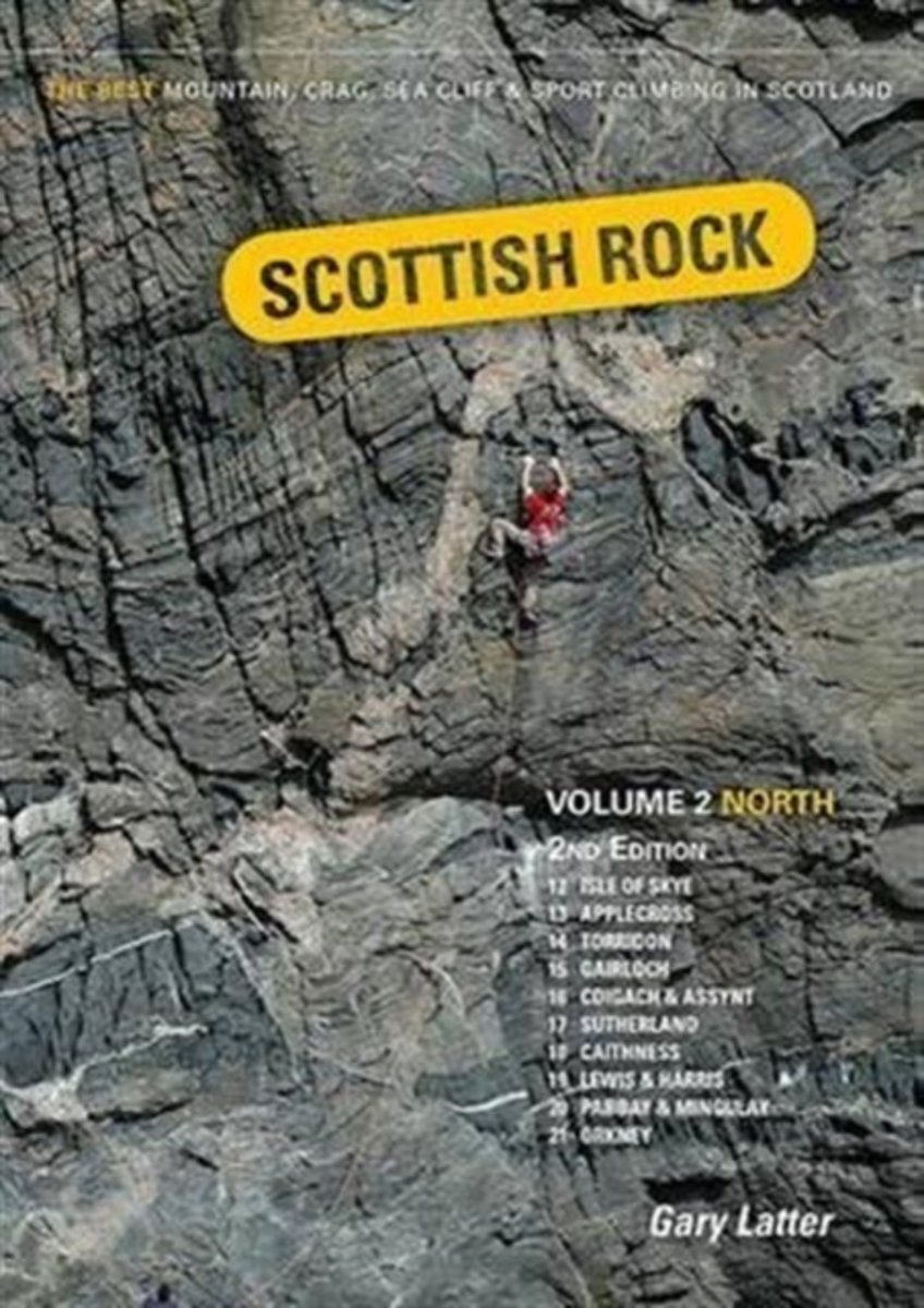
- Scottish Rock
- This is the 2nd edition of Scottish Rock: Volume 2 North, a selective rock climbing guide to over 2,400 routes in the North-West, the Far North, the Hebrides and Orkney. Volume 1 extends this area south of the great Glen. These guides will take you to some extraordinary places to experience some of the best rock climbing and scrambling around.... Read more
- Also available from:
- Bol.com, Belgium

Bol.com
Belgium
Belgium
- Scottish Rock
- This is the 2nd edition of Scottish Rock: Volume 2 North, a selective rock climbing guide to over 2,400 routes in the North-West, the Far North, the Hebrides and Orkney. Volume 1 extends this area south of the great Glen. These guides will take you to some extraordinary places to experience some of the best rock climbing and scrambling around.... Read more

Bol.com
Netherlands
Netherlands
- The Call of the South
- George Lewis Becke (or Louis Becke; 18 June 1855 18 February 1913) was an Australian short-story writer and novelist.Becke was born at Port Macquarie, New South Wales, son of Frederick Becke, Clerk of Petty Sessions and his wife Caroline Matilda, née Beilby. Both parents were born in England. Becke was the youngest of six children and had a... Read more
- Also available from:
- Bol.com, Belgium

Bol.com
Belgium
Belgium
- The Call of the South
- George Lewis Becke (or Louis Becke; 18 June 1855 18 February 1913) was an Australian short-story writer and novelist.Becke was born at Port Macquarie, New South Wales, son of Frederick Becke, Clerk of Petty Sessions and his wife Caroline Matilda, née Beilby. Both parents were born in England. Becke was the youngest of six children and had a... Read more
Bol.com
Netherlands
Netherlands
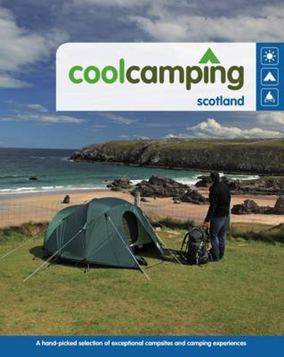
- Cool Camping Scotland
- Discover the best countryside and wilderness camping in Scotland, with the new, 100% updated edition of Cool Camping: Scotland. Featuring a total of 50 sites, with 20 brand new entries, this book reveals the pick of the loch-side campsites, sites with stunning mountain views, as well as a selection of truly remote island camping experiences.... Read more
- Also available from:
- Bol.com, Belgium

Bol.com
Belgium
Belgium
- Cool Camping Scotland
- Discover the best countryside and wilderness camping in Scotland, with the new, 100% updated edition of Cool Camping: Scotland. Featuring a total of 50 sites, with 20 brand new entries, this book reveals the pick of the loch-side campsites, sites with stunning mountain views, as well as a selection of truly remote island camping experiences.... Read more

Bol.com
Netherlands
Netherlands
- Tessa
- George Lewis Becke (or Louis Becke; 18 June 1855 18 February 1913) was an Australian short-story writer and novelist.Becke was born at Port Macquarie, New South Wales, son of Frederick Becke, Clerk of Petty Sessions and his wife Caroline Matilda, née Beilby. Both parents were born in England. Becke was the youngest of six children and had a... Read more
- Also available from:
- Bol.com, Belgium

Bol.com
Belgium
Belgium
- Tessa
- George Lewis Becke (or Louis Becke; 18 June 1855 18 February 1913) was an Australian short-story writer and novelist.Becke was born at Port Macquarie, New South Wales, son of Frederick Becke, Clerk of Petty Sessions and his wife Caroline Matilda, née Beilby. Both parents were born in England. Becke was the youngest of six children and had a... Read more

Bol.com
Netherlands
Netherlands
- Sarreo
- George Lewis Becke (or Louis Becke; 18 June 1855 18 February 1913) was an Australian short-story writer and novelist.Becke was born at Port Macquarie, New South Wales, son of Frederick Becke, Clerk of Petty Sessions and his wife Caroline Matilda, née Beilby. Both parents were born in England. Becke was the youngest of six children and had a... Read more
- Also available from:
- Bol.com, Belgium

Bol.com
Belgium
Belgium
- Sarreo
- George Lewis Becke (or Louis Becke; 18 June 1855 18 February 1913) was an Australian short-story writer and novelist.Becke was born at Port Macquarie, New South Wales, son of Frederick Becke, Clerk of Petty Sessions and his wife Caroline Matilda, née Beilby. Both parents were born in England. Becke was the youngest of six children and had a... Read more

Bol.com
Netherlands
Netherlands
- Ridan the Devil and Other Stories
- George Lewis Becke (or Louis Becke; 18 June 1855 18 February 1913) was an Australian short-story writer and novelist.Becke was born at Port Macquarie, New South Wales, son of Frederick Becke, Clerk of Petty Sessions and his wife Caroline Matilda, n e Beilby. Both parents were born in England. Becke was the youngest of six children and had a... Read more
- Also available from:
- Bol.com, Belgium

Bol.com
Belgium
Belgium
- Ridan the Devil and Other Stories
- George Lewis Becke (or Louis Becke; 18 June 1855 18 February 1913) was an Australian short-story writer and novelist.Becke was born at Port Macquarie, New South Wales, son of Frederick Becke, Clerk of Petty Sessions and his wife Caroline Matilda, n e Beilby. Both parents were born in England. Becke was the youngest of six children and had a... Read more
Bol.com
Netherlands
Netherlands
- A Tramp Abroad
- A Tramp Abroad is a work of non-fiction travel literature by American author Mark Twain, published in 1880. The book details a journey by the author, with his friend Harris (a character created for the book, and based on his closest friend, Joseph Twichell), through central and southern Europe. While the stated goal of the journey is to walk... Read more
- Also available from:
- Bol.com, Belgium

Bol.com
Belgium
Belgium
- A Tramp Abroad
- A Tramp Abroad is a work of non-fiction travel literature by American author Mark Twain, published in 1880. The book details a journey by the author, with his friend Harris (a character created for the book, and based on his closest friend, Joseph Twichell), through central and southern Europe. While the stated goal of the journey is to walk... Read more
Kaarten
De Zwerver
Netherlands
Netherlands
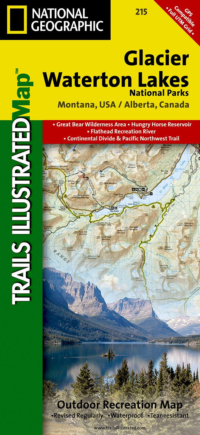
- Wandelkaart - Topografische kaart 215 Glacier - Waterton Lakes National Park | National Geographic
- Prachtige geplastificeerde kaart van het bekende nationaal park. Met alle recreatieve voorzieningen als campsites, maar ook met topografische details en wandelroutes ed. Door uitgekiend kleurgebruik zeer prettig in gebruik. Scheur en watervast! Waterton Lakes National Park, Canada includes Waterton Park, Upper and Middle Waterton Lakes, The... Read more
- Also available from:
- Bol.com, Netherlands
- Bol.com, Belgium
- Stanfords, United Kingdom
Bol.com
Netherlands
Netherlands
- Glacier/waterton Lakes National Parks
- Waterproof Tear-Resistant Topographic MapNational Geographic's Trails Illustrated map of Glacier and Waterton Lakes National Parks offers unparalleled detail for outdoor enthusiasts exploring the pristine landscape of forests, mountains, lakes, and meadows within these two spectacular parks. Created in partnership with local land... Read more

Bol.com
Belgium
Belgium
- Glacier/waterton Lakes National Parks
- Waterproof Tear-Resistant Topographic MapNational Geographic's Trails Illustrated map of Glacier and Waterton Lakes National Parks offers unparalleled detail for outdoor enthusiasts exploring the pristine landscape of forests, mountains, lakes, and meadows within these two spectacular parks. Created in partnership with local land... Read more

Stanfords
United Kingdom
United Kingdom
- Glacier - Waterton Lakes National Park MT
- Map No. 215, Glacier/Waterton Lakes National Park, MT, in an extensive series of GPS compatible, contoured hiking maps of USA’s national and state parks or forests and other popular recreational areas. Cartography based on the national topographic survey, with additional tourist information.The maps, with most titles now printed on light,... Read more
De Zwerver
Netherlands
Netherlands
- Wandelkaart - Topografische kaart 201 Trails Illustrated Yellowstone National Park | National Geographic
- Prachtige geplastificeerde kaart van het bekende nationaal park. Met alle recreatieve voorzieningen als campsites, maar ook met topografische details en wandelroutes ed. Door uitgekiend kleurgebruik zeer prettig in gebruik. Scheur en watervast! Detailed and accurate coverage for Yellowstone National Park. Includes a detailed road network and... Read more
- Also available from:
- Bol.com, Netherlands
- Bol.com, Belgium
- Stanfords, United Kingdom
- The Book Depository, United Kingdom
Bol.com
Netherlands
Netherlands
- Yellowstone National Park
- Waterproof Tear-Resistant Topographic MapNational Geographic's Trails Illustrated map of Yellowstone National Park is designed to meet the needs of outdoor enthusiasts by combining valuable information with unmatched detail of America's first national park. Expertly researched and created in partnership with local land management... Read more

Bol.com
Belgium
Belgium
- Yellowstone National Park
- Waterproof Tear-Resistant Topographic MapNational Geographic's Trails Illustrated map of Yellowstone National Park is designed to meet the needs of outdoor enthusiasts by combining valuable information with unmatched detail of America's first national park. Expertly researched and created in partnership with local land management... Read more

Stanfords
United Kingdom
United Kingdom
- Yellowstone National Park WY/MT NGS Trails Illustrated Map 201
- Map No. 201, Yellowstone National Park, WY/MT, in an extensive series of GPS compatible, contoured hiking maps of USA’s national and state parks or forests and other popular recreational areas. Cartography based on the national topographic survey, with additional tourist information.The maps, with most titles now printed on light, waterproof... Read more

The Book Depository
United Kingdom
United Kingdom
- Yellowstone National Park
- Trails Illustrated National Parks Read more
De Zwerver
Netherlands
Netherlands
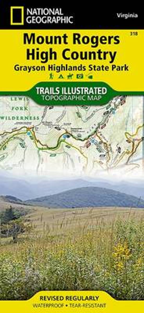
- Wandelkaart - Topografische kaart 318 Mount Rogers High Country - Grayson Highlands State Park | National Geographic
- Prachtige geplastificeerde kaart van het bekende nationaal park. Met alle recreatieve voorzieningen als campsites, maar ook met topografische details en wandelroutes ed. Door uitgekiend kleurgebruik zeer prettig in gebruik. Scheur en watervast! National Geographic's Trails Illustrated map of Mount Rogers High Country and Grayson Highlands... Read more
- Also available from:
- Bol.com, Netherlands
- Bol.com, Belgium
- Stanfords, United Kingdom
- The Book Depository, United Kingdom
Bol.com
Netherlands
Netherlands
- Mount Rogers High Country
- Waterproof Tear-Resistant Topographic MapNational Geographic's Trails Illustrated map of Mount Rogers High Country and Grayson Highlands State Park, Southwest Virginia, is a two-sided, waterproof, topographic trail map designed to meet the needs of outdoor enthusiasts with unmatched durability and detail. This map was created in... Read more

Bol.com
Belgium
Belgium
- Mount Rogers High Country
- Waterproof Tear-Resistant Topographic MapNational Geographic's Trails Illustrated map of Mount Rogers High Country and Grayson Highlands State Park, Southwest Virginia, is a two-sided, waterproof, topographic trail map designed to meet the needs of outdoor enthusiasts with unmatched durability and detail. This map was created in... Read more

Stanfords
United Kingdom
United Kingdom
- Mount Rogers High Country VA
- Map No. 318 - Mount Rogers High Country in Virginia in an extensive series of GPS compatible, contoured hiking maps of USA’s national and state parks or forests and other popular recreational areas. Cartography based on the national topographic survey, with additional tourist information.The maps, with most titles now printed on light,... Read more

The Book Depository
United Kingdom
United Kingdom
- Mount Rogers High Country
- Trails Illustrated Other Rec. Areas Read more

Stanfords
United Kingdom
United Kingdom
- C67 North Minch & Isle of Lewis
- Plans included:Loch Inchard (Kinlochbervie) (1:12 500)Loch Inver (1:15 000)Ullapool (1:10 000)Stornoway Harbour (1:15 000)Loch Carloway (1:20 000)On this 2017 edition the latest depth surveys have been included. The chart specification has been improved to show coloured light flashes. There has been general updating throughout. Read more


.jpg)
