
Loch Ness
Beschrijving
Famous lake in the Scottish Highlands, best known for it's monster. Nessie is real; and if anyone should know it, it's Traildino! The waters of Loch Ness are deep and murky. The total amount of freshwater - it may interest you - is larger than all lakes of Wales and England combined.
Since people get attracted to the legends and stories of the lake, it is no surprise that a trail has been created, the Great Glen Way. This trail is succesfully competing with other Big Names in Walking.
Paden in deze regio
Links
Feiten
Verslagen
Gidsen en kaarten
Overnachting
Organisaties
Reisorganisaties
GPS
Anders
Boeken
De Zwerver
Netherlands
2014
Netherlands
2014

De Zwerver
Netherlands
Netherlands
- Also available from:
- Stanfords, United Kingdom

Stanfords
United Kingdom
United Kingdom
- Birmingham, Wolverhampton & The Black Country OS Landranger Map 139 (paper)
- Birmingham with the surrounding area including the Black Country, Wolverhampton, Walsall, Solihull, Stourbridge, Bromsgrove and a section of the E2 European Long-distance Path on a paper version of map No. 139 from the Ordnance Survey’s Landranger series at 1:50,000, with contoured and GPS compatible topographic mapping plus tourist... Read more

De Zwerver
Netherlands
Netherlands
- Also available from:
- Stanfords, United Kingdom

Stanfords
United Kingdom
United Kingdom
- Reading & Windsor - Henley-on-Thames & Bracknell OS Landranger Map 175 (paper)
- Reading – Windsor area, including a section of the Thames Path / E2 European Long-distance Path, on a paper version of map No. 175 from the Ordnance Survey’s Landranger series at 1:50,000, with contoured and GPS compatible topographic mapping plus tourist information.MOBILE DOWNLOADS: As well as the physical edition of the map, each Landranger... Read more

De Zwerver
Netherlands
Netherlands
- Also available from:
- Stanfords, United Kingdom

Stanfords
United Kingdom
United Kingdom
- Kettering, Corby, Market Harborough & Stamford OS Landranger Map 141 (paper)
- The area around Kettering, Corby, Market Harborough and Stamford, including Rockingham Forest and part of the E2 European Long-distance Path, on a paper version of map No. 141 from the Ordnance Survey’s Landranger series at 1:50,000, with contoured and GPS compatible topographic mapping plus tourist information.MOBILE DOWNLOADS: As well as the... Read more
Bol.com
Netherlands
Netherlands
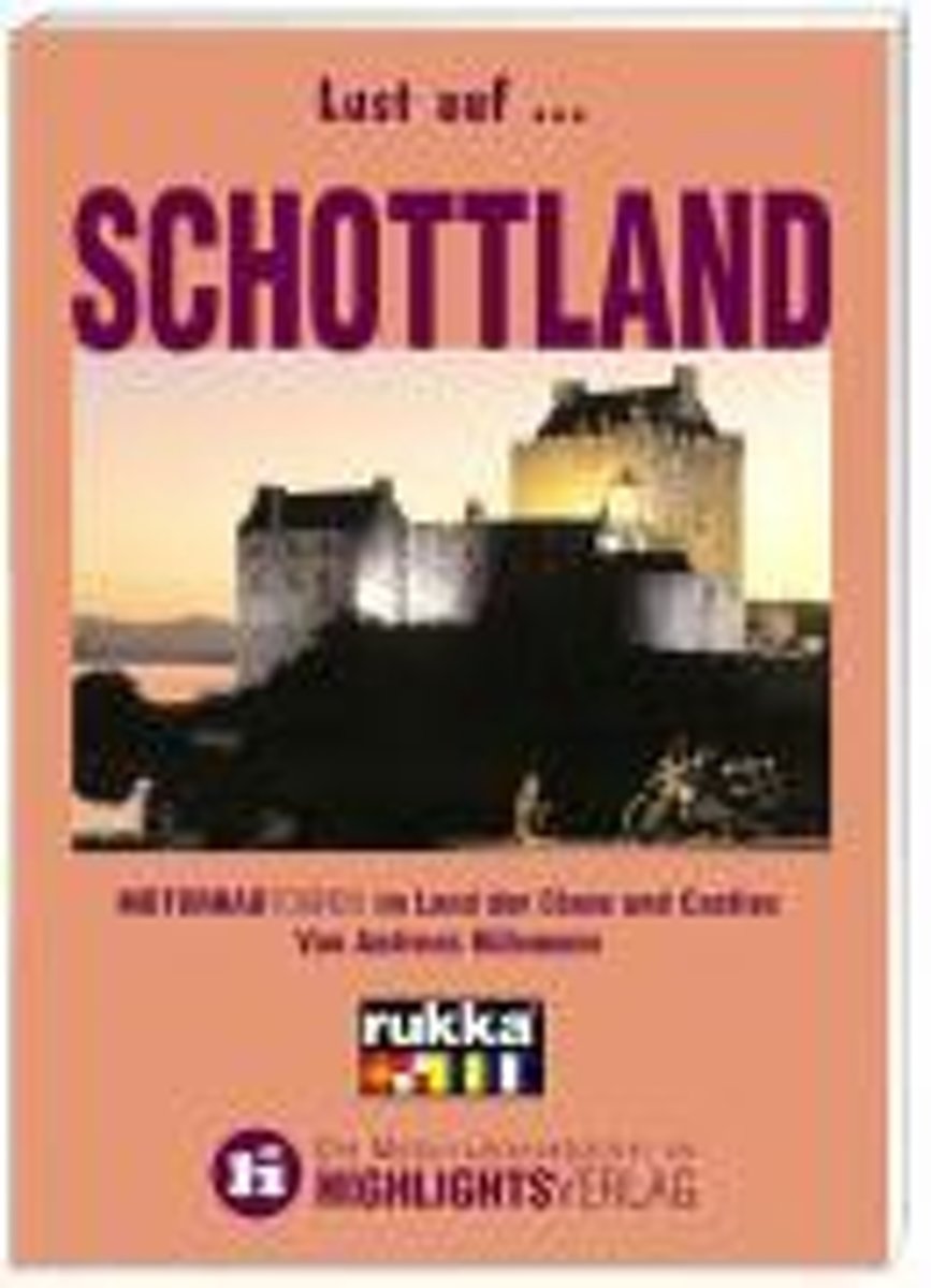
- Schottland
- Der Dudelsack, die karierten R cke, der Malt-Whisky, die Castles, das Ungeheuer von Loch Ness - wer von einer Reise nach Schottland zur ckkommt, kann einiges erz hlen. Vor allem als Motorradfahrer. Denn im Sattel eines Bikes erf hrt man im wahrsten Sinne des Wortes den Charakter dieser Region am intensivsten. Da gibt es die Highlands zu... Read more
- Also available from:
- Bol.com, Belgium
Bol.com
Belgium
Belgium
- Schottland
- Der Dudelsack, die karierten R cke, der Malt-Whisky, die Castles, das Ungeheuer von Loch Ness - wer von einer Reise nach Schottland zur ckkommt, kann einiges erz hlen. Vor allem als Motorradfahrer. Denn im Sattel eines Bikes erf hrt man im wahrsten Sinne des Wortes den Charakter dieser Region am intensivsten. Da gibt es die Highlands zu... Read more
Bol.com
Netherlands
2014
Netherlands
2014
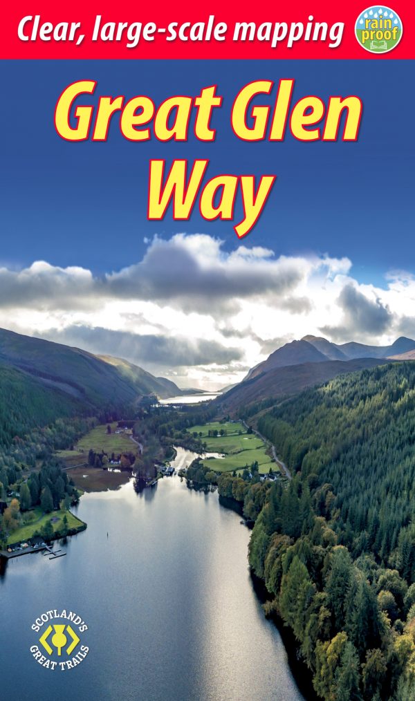
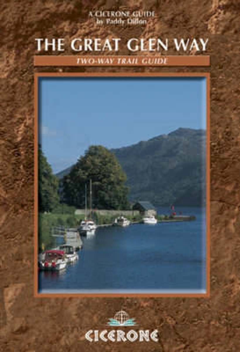
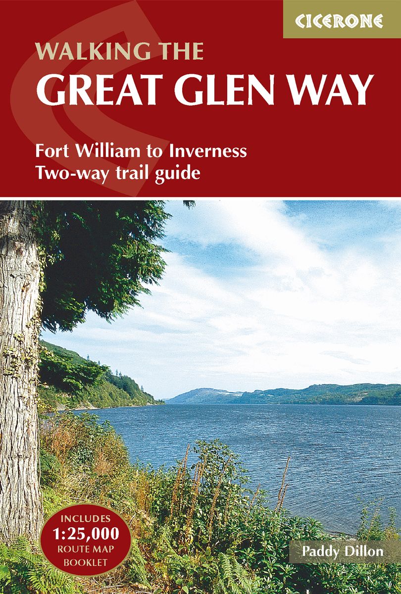
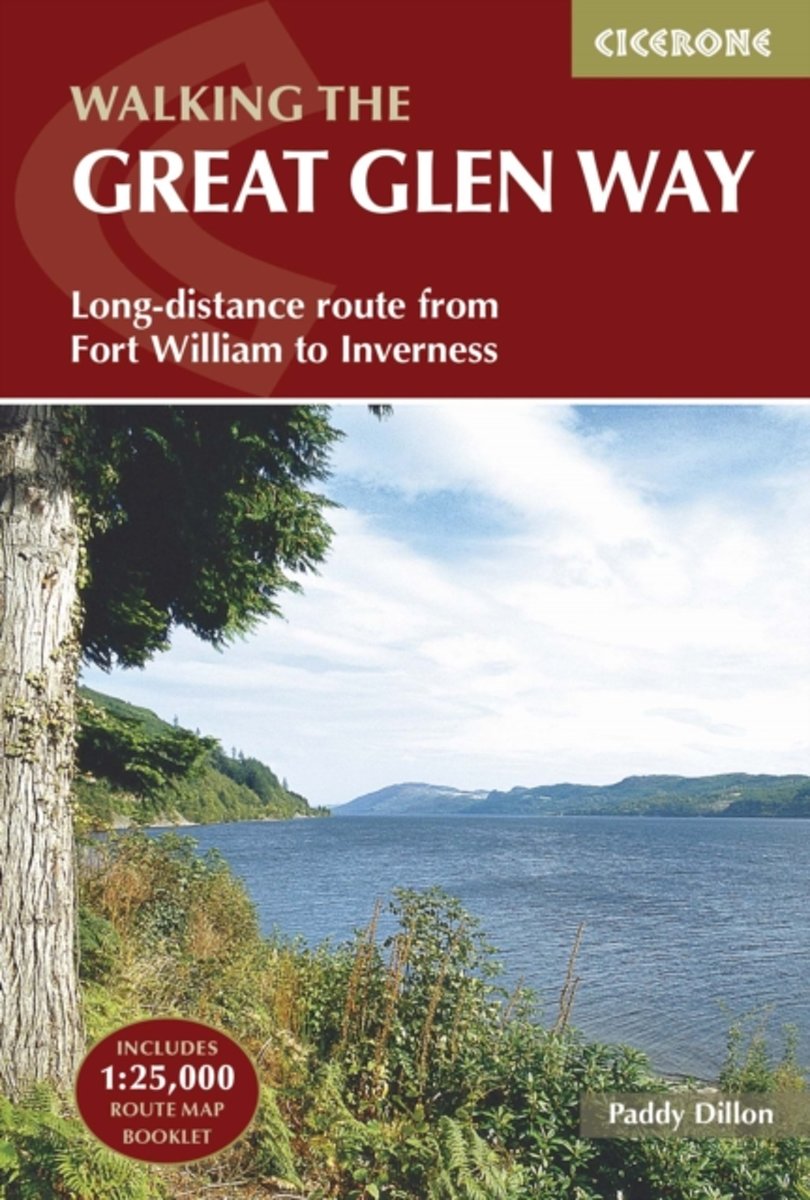
- The Great Glen Way
- Guidebook to walking the Great Glen Way, a 117km (73 mile) National Trail that runs along the Great Glen between Fort William and Inverness. The route is described in either direction, and most walkers will aim to complete the route in five or six days. The Great Glen Way stretches alongside the Caledonian Canal, passing several lochs,... Read more
- Also available from:
- Bol.com, Belgium
Bol.com
Belgium
2014
Belgium
2014
- The Great Glen Way
- Guidebook to walking the Great Glen Way, a 117km (73 mile) National Trail that runs along the Great Glen between Fort William and Inverness. The route is described in either direction, and most walkers will aim to complete the route in five or six days. The Great Glen Way stretches alongside the Caledonian Canal, passing several lochs,... Read more
Bol.com
Netherlands
Netherlands
- Rick Steves Scotland (Second Edition)
- Whether you take the high road or the low road, with Rick Steves on your side, Scotland can be yours!Inside Rick Steves Scotland you'll find:Comprehensive coverage for spending a week or more exploring ScotlandRick's strategic advice on how to get the most out of your time and money, with rankings of his must-see favoritesTop sights and hidden... Read more
- Also available from:
- Bol.com, Belgium
Bol.com
Belgium
Belgium
- Rick Steves Scotland (Second Edition)
- Whether you take the high road or the low road, with Rick Steves on your side, Scotland can be yours!Inside Rick Steves Scotland you'll find:Comprehensive coverage for spending a week or more exploring ScotlandRick's strategic advice on how to get the most out of your time and money, with rankings of his must-see favoritesTop sights and hidden... Read more
De Zwerver
Netherlands
2022
Netherlands
2022
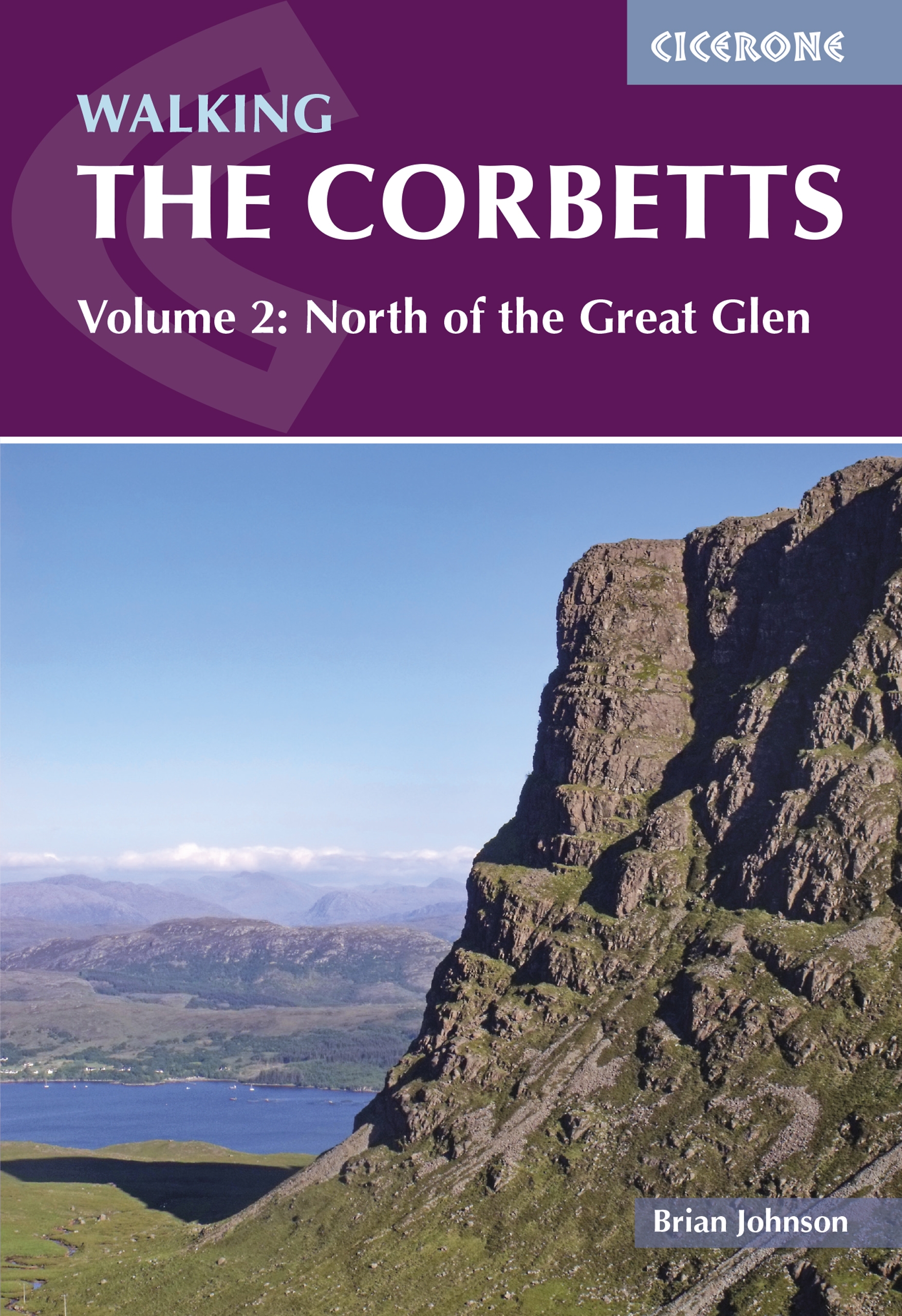
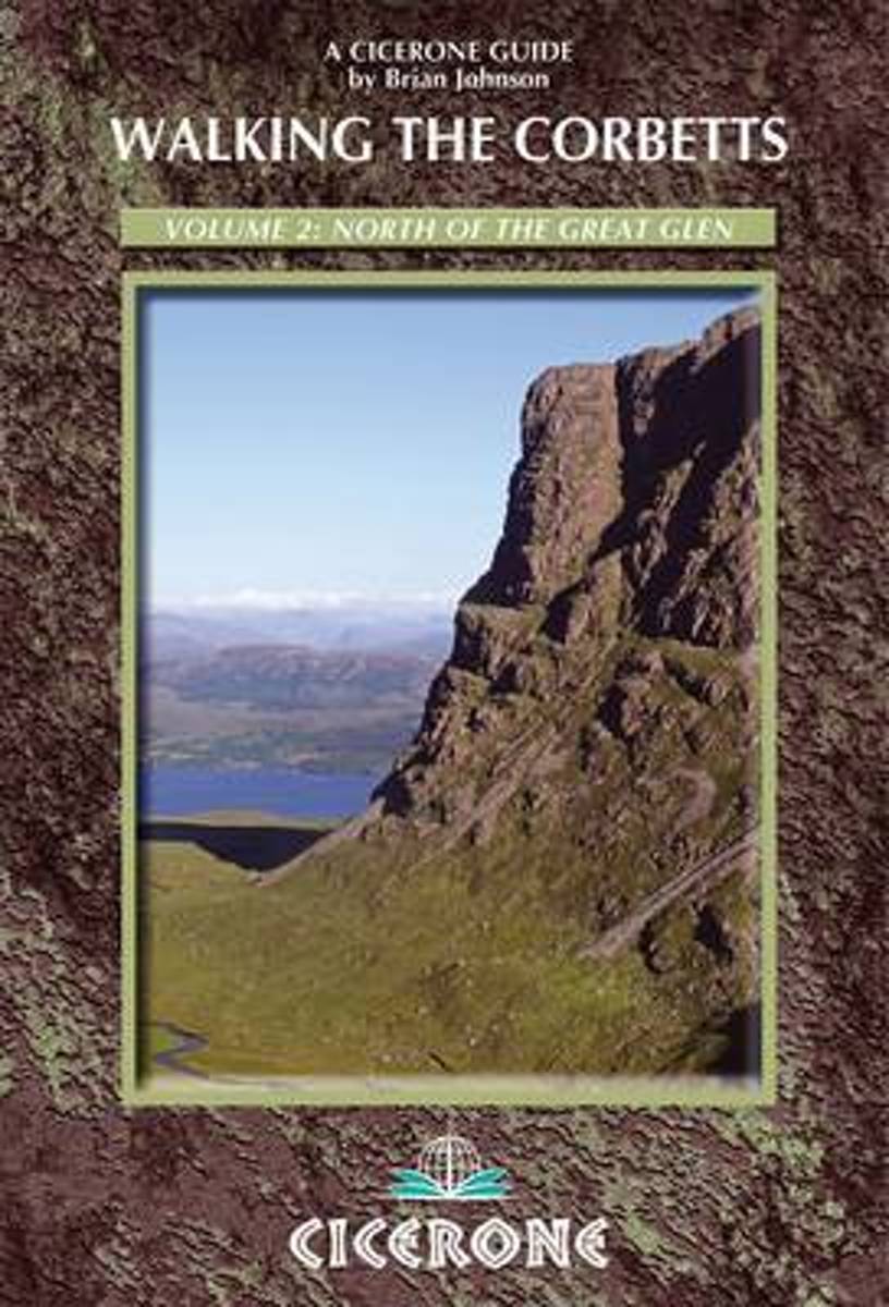
- Wandelgids Walking the Corbetts: Volume 2 | Cicerone
- The guidebook describes walking routes up all 109 Corbetts north of the Great Glen (Scotland's 2500-2999ft mountains). From Ardgour to Cape Wrath including Knoydart, Applecross and Torridon, as well as Mull, Rum, Harris and Skye. For walkers who want interesting routes up these spectacular and lesser-known hills. Part of a two-volume set. Read more
- Also available from:
- Bol.com, Netherlands
- Bol.com, Belgium
- The Book Depository, United Kingdom
Bol.com
Netherlands
2013
Netherlands
2013
- Walking the Corbetts Vol 2 North of the Great Glen
- The Corbetts (Scotland's 2500-2999ft mountains) are every bit as interesting as the Munros (3000ft and over), often clear when the Munros are in cloud, walkable on short winter days, free of the peak-bagging crowds of their taller neighbours. Volume 2 of this 2-part Cicerone guide covers the Corbetts to the north of the Great Glen, which runs... Read more
Bol.com
Belgium
2013
Belgium
2013
- Walking the Corbetts Vol 2 North of the Great Glen
- The Corbetts (Scotland's 2500-2999ft mountains) are every bit as interesting as the Munros (3000ft and over), often clear when the Munros are in cloud, walkable on short winter days, free of the peak-bagging crowds of their taller neighbours. Volume 2 of this 2-part Cicerone guide covers the Corbetts to the north of the Great Glen, which runs... Read more

The Book Depository
United Kingdom
2013
United Kingdom
2013
- Walking the Corbetts Vol 2 North of the Great Glen
- The guidebook describes walking routes up all 109 Corbetts north of the Great Glen (Scotland's 2500-2999ft mountains). From Ardgour to Cape Wrath including Knoydart, Applecross and Torridon, as well as Mull, Rum, Harris and Skye. For walkers who want interesting routes up these spectacular and lesser-known hills. Part of a two-volume set. Read more
De Zwerver
Netherlands
2016
Netherlands
2016
- Wandelgids The Great Glen Way | Cicerone
- Guidebook to walking the Great Glen Way, a 79-mile National Trail along the Caledonia Canal from Fort William to Inverness. Easily walked within a week in all seasons, the Great Glen Way is an ideal introduction to long-distance walking in Scotland. The route is described in both directions, and a separate OS 1:25K mapping booklet is included. Read more
- Also available from:
- Bol.com, Netherlands
- Bol.com, Belgium
- The Book Depository, United Kingdom
Bol.com
Netherlands
2016
Netherlands
2016
- The Great Glen Way
- Guidebook to walking the Great Glen Way, one of Scotland's Great Trails that runs along the Great Glen between Fort William and Inverness. The guidebook - which includes both a guide to the route and a separate OS map booklet - describes the route in both directions. Ideal as an introduction to long-distance walking, the 79-mile Great Glen Way... Read more
Bol.com
Belgium
2016
Belgium
2016
- The Great Glen Way
- Guidebook to walking the Great Glen Way, one of Scotland's Great Trails that runs along the Great Glen between Fort William and Inverness. The guidebook - which includes both a guide to the route and a separate OS map booklet - describes the route in both directions. Ideal as an introduction to long-distance walking, the 79-mile Great Glen Way... Read more

The Book Depository
United Kingdom
2016
United Kingdom
2016
- The Great Glen Way
- Fort William to Inverness Two-way trail guide Read more
Bol.com
Netherlands
Netherlands
- Rick Steves Snapshot Scottish Highlands (First Edition)
- You can count on Rick Steves to tell you what you really need to know when traveling in the Scottish Highlands. In this compact guide, Rick Steves covers the essential spots of the region, including Loch Ness, Balmoral Castle, and Inverness. Follow the Speyside Whisky trail, cut through the Cairngorms, spot kelpies in Falkirk, and admire Loch... Read more
- Also available from:
- Bol.com, Belgium
Bol.com
Belgium
Belgium
- Rick Steves Snapshot Scottish Highlands (First Edition)
- You can count on Rick Steves to tell you what you really need to know when traveling in the Scottish Highlands. In this compact guide, Rick Steves covers the essential spots of the region, including Loch Ness, Balmoral Castle, and Inverness. Follow the Speyside Whisky trail, cut through the Cairngorms, spot kelpies in Falkirk, and admire Loch... Read more
De Zwerver
Netherlands
Netherlands
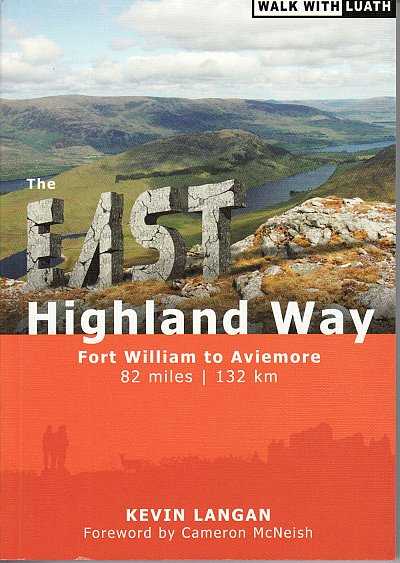
- Wandelgids The East Highland Way | Luath Press
- The East Highland Way is a detailed and descriptive guide to the route developed by Kevin Langan in 2007. Beginning in Fort William and culminating in Aviemore, the trail forms a new link route between the northern end of the West Highland Way and the southern end of the Speyside Way. In addition, the route joins with the Great Glen Way at its... Read more
- Also available from:
- Bol.com, Netherlands
- Bol.com, Belgium
Bol.com
Netherlands
Netherlands
- The East Highland Way
- The East Highland Way is a detailed and descriptive guide to the route developed by Kevin Langan in 2007. Beginning in Fort William and culminating in Aviemore, the trail forms a new link route between the northern end of the West Highland Way and the southern end of the Speyside Way. In addition, the route joins with the Great Glen Way at its... Read more
Bol.com
Belgium
Belgium
- The East Highland Way
- The East Highland Way is a detailed and descriptive guide to the route developed by Kevin Langan in 2007. Beginning in Fort William and culminating in Aviemore, the trail forms a new link route between the northern end of the West Highland Way and the southern end of the Speyside Way. In addition, the route joins with the Great Glen Way at its... Read more
De Zwerver
Netherlands
2017
Netherlands
2017
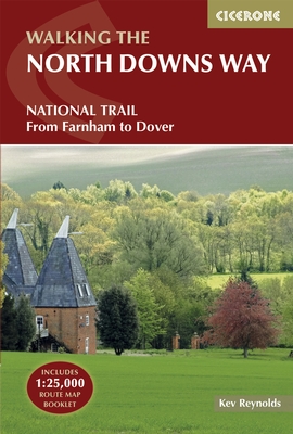
- Wandelgids The North Downs Way | Cicerone
- Guidebook to walking the North Downs Way National Trail, a 130 mile (208km) trail between Farnham and Dover, with an optional visit to Canterbury. Following the ancient Pilgrim's Way for much of the way, through pleasant countryside, this is one of the easier National Trails and the walk is described over 11 stages. With 1:25K OS map booklet. Read more
- Also available from:
- Bol.com, Netherlands
- Bol.com, Belgium
- Stanfords, United Kingdom
- The Book Depository, United Kingdom
Bol.com
Netherlands
2017
Netherlands
2017
- The North Downs Way
- The North Downs Way National Trail is a 130 mile (208km) between the high downland of Farnham and the historic city of Dover on the Kent coast. The route is described in 11 day stages from west to east with an optional detour via Canterbury. Step-by-step route descriptions are fully illustrated with colour photographs and extracts from OS... Read more
Bol.com
Belgium
2017
Belgium
2017
- The North Downs Way
- The North Downs Way National Trail is a 130 mile (208km) between the high downland of Farnham and the historic city of Dover on the Kent coast. The route is described in 11 day stages from west to east with an optional detour via Canterbury. Step-by-step route descriptions are fully illustrated with colour photographs and extracts from OS... Read more

Stanfords
United Kingdom
2017
United Kingdom
2017
- The North Downs Way
- A guidebook to walking the North Downs Way National Trail, a 130 mile (208km) walk between the high downland of Farnham and the historic city of Dover on the Kent coast, with an optional visit to Canterbury. The route is described in 11 stages, and is fully illustrated with colour photographs and OS map extracts. The North Downs Way is one of... Read more

The Book Depository
United Kingdom
2017
United Kingdom
2017
- The North Downs Way
- National Trail from Farnham to Dover Read more
Bol.com
Netherlands
Netherlands
- More Baskets And How To Make Them
- More Baskets AND How to Make Them MARY WHITE a Author of How to Make Baskets Illustrated from photographs, and drawings by the author GARDEN CITY NEW YORK DOUBLEDAY, PAGE COMPANY 1916 MORE BASKETS AND HOW TO MAKE THEM z - -2 1 r i c 5 Z c 2 L - L v 2 y T .C I n C C 2 2s - L M CLC g .E 2 Copyright. 1903, by Doubleday, Page Cornpant Publirhtd,... Read more
- Also available from:
- Bol.com, Belgium
Bol.com
Belgium
Belgium
- More Baskets And How To Make Them
- More Baskets AND How to Make Them MARY WHITE a Author of How to Make Baskets Illustrated from photographs, and drawings by the author GARDEN CITY NEW YORK DOUBLEDAY, PAGE COMPANY 1916 MORE BASKETS AND HOW TO MAKE THEM z - -2 1 r i c 5 Z c 2 L - L v 2 y T .C I n C C 2 2s - L M CLC g .E 2 Copyright. 1903, by Doubleday, Page Cornpant Publirhtd,... Read more
Bol.com
Netherlands
Netherlands
- North with the Spring
- What could be more fun than traveling with your family in Europe for five months? Not that it was all fun. There were cold, dreary days, illness, missed connections, a stolen wallet, gypsy attacks, and lost children. But looking back, "the Splat family" - as they called themselves when they went "Splat " - agreed that there were definitely more... Read more
- Also available from:
- Bol.com, Belgium
Bol.com
Belgium
Belgium
- North with the Spring
- What could be more fun than traveling with your family in Europe for five months? Not that it was all fun. There were cold, dreary days, illness, missed connections, a stolen wallet, gypsy attacks, and lost children. But looking back, "the Splat family" - as they called themselves when they went "Splat " - agreed that there were definitely more... Read more
Kaarten

Bol.com
Netherlands
2014
Netherlands
2014
- Great Glen Way
- This guidebook (fully updated 2014) contains all you need to plan and enjoy a holiday walking or cycling along Scotland's historic Great Glen (77 miles/125 km). The Way runs between Fort William and Inverness, beside Scotland's highest mountain, along the historic Caledonian Canal and past beautiful lochs, including Loch Ness with its famous... Read more
- Also available from:
- Bol.com, Belgium
Bol.com
Belgium
2014
Belgium
2014
- Great Glen Way
- This guidebook (fully updated 2014) contains all you need to plan and enjoy a holiday walking or cycling along Scotland's historic Great Glen (77 miles/125 km). The Way runs between Fort William and Inverness, beside Scotland's highest mountain, along the historic Caledonian Canal and past beautiful lochs, including Loch Ness with its famous... Read more

De Zwerver
Netherlands
2014
Netherlands
2014
- Wandelkaart Cape Wrath Trail North | Harvey Maps
- The northern section of the Cape Wrath Trail, from Strathcarron via Ullapool to Cape Wrath - the most north-westerly point in the mainland United Kingdom, presented at 1:40,000 on a light, waterproof and tear-resistant map from Harvey Map Services. The map covers this section of the trail on 12 overlapping panels. The whole Cape Wrath Trail is... Read more
- Also available from:
- Bol.com, Netherlands
- Bol.com, Belgium
- Stanfords, United Kingdom
- The Book Depository, United Kingdom

Bol.com
Netherlands
2014
Netherlands
2014
- Cape Wrath Trail North XT40
- The northern section of the Cape Wrath Trail, from Strathcarron via Ullapool to Cape Wrath - the most north-westerly point in the mainland United Kingdom, presented at 1:40,000 on a light, waterproof and tear-resistant map from Harvey Map Services. The map covers this section of the trail on 12 overlapping panels. The whole Cape Wrath Trail is... Read more
Bol.com
Belgium
2014
Belgium
2014
- Cape Wrath Trail North XT40
- The northern section of the Cape Wrath Trail, from Strathcarron via Ullapool to Cape Wrath - the most north-westerly point in the mainland United Kingdom, presented at 1:40,000 on a light, waterproof and tear-resistant map from Harvey Map Services. The map covers this section of the trail on 12 overlapping panels. The whole Cape Wrath Trail is... Read more

Stanfords
United Kingdom
2014
United Kingdom
2014
- Cape Wrath Trail North - Strathcarron to Cape Wrath Harvey National Trail XT40
- The northern section of the Cape Wrath Trail, from Strathcarron via Ullapool to Cape Wrath - the most north-westerly point in the mainland United Kingdom, presented at 1:40,000 on a light, waterproof and tear-resistant map from Harvey Map Services. The map covers this section of the trail on 12 overlapping panels. The whole Cape Wrath Trail is... Read more


De Zwerver
Netherlands
2014
Netherlands
2014
- Wandelkaart Cape Wrath Trail South | Harvey Maps
- The southern section of the Cape Wrath Trail, from Fort William to Strathcarron presented at 1:40,000 on a light, waterproof and tear-resistant map from Harvey Map Services. The map covers this section of the trail on eight panels, showing both the western variant via Inverie and Shiel Bridge, and inland route along Loch Lochy and Invegarry.... Read more
- Also available from:
- Bol.com, Netherlands
- Bol.com, Belgium
- Stanfords, United Kingdom
- The Book Depository, United Kingdom

Bol.com
Netherlands
2014
Netherlands
2014
- Cape Wrath Trail South XT40
- Cape Wrath Trail is a challenging route from Fort William to Cape Wrath. It is around 200 miles long and passes through some of Scotland's wildest and most spectacular scenery. The trail has evolved from use and is not an officially recognised National Trail. There is no single definitive route. There are various ways of tackling the traverse... Read more
Bol.com
Belgium
2014
Belgium
2014
- Cape Wrath Trail South XT40
- Cape Wrath Trail is a challenging route from Fort William to Cape Wrath. It is around 200 miles long and passes through some of Scotland's wildest and most spectacular scenery. The trail has evolved from use and is not an officially recognised National Trail. There is no single definitive route. There are various ways of tackling the traverse... Read more

Stanfords
United Kingdom
2014
United Kingdom
2014
- Cape Wrath Trail South - Fort William to Strathcarron Harvey National Trail XT40
- The southern section of the Cape Wrath Trail, from Fort William to Strathcarron presented at 1:40,000 on a light, waterproof and tear-resistant map from Harvey Map Services. The map covers this section of the trail on eight panels, showing both the western variant via Inverie and Shiel Bridge, and inland route along Loch Lochy and Invegarry.... Read more


De Zwerver
Netherlands
Netherlands
- Wandelkaart WKE2 La Palma | Freytag & Berndt
- Uitstekende wandelkaart van La Palma, tweezijdig, met ingetekende routes, hoogtelijnen en andere belangrijke informatie. Ook met fietsroutes, bovendien GPS geschikt! Read more
- Also available from:
- Bol.com, Netherlands
- Bol.com, Belgium
- The Book Depository, United Kingdom

Bol.com
Netherlands
Netherlands
- FB WKE2 La Palma
- Dubbelzijdige wandel- en vrijetijdskaart • toeristische tips • stadsplattegronden • fietspaden en mountainbikeroutes • GPS-punten • ski- en langlaufroutes Read more
Bol.com
Belgium
Belgium
- FB WKE2 La Palma
- Dubbelzijdige wandel- en vrijetijdskaart • toeristische tips • stadsplattegronden • fietspaden en mountainbikeroutes • GPS-punten • ski- en langlaufroutes Read more

The Book Depository
United Kingdom
United Kingdom
- La Palma Hiking + Leisure Map 1:30 000
- Uitstekende wandelkaart van La Palma, tweezijdig, met ingetekende routes, hoogtelijnen en andere belangrijke informatie. Ook met fietsroutes, bovendien GPS geschikt! Read more

Stanfords
United Kingdom
United Kingdom
- Luxembourg South
- One of two topographic survey maps of Luxembourg at 1:50,000, with contours at 10-metres intervals and additional relief shading. An overprint highlights long-distance footpaths, including the GR5 (E-2), cycle routes, and various places of interest, including campsites. The map covers an area of approximately 53 x 43 km / 33 x 27 miles. Map... Read more

Stanfords
United Kingdom
United Kingdom
- Luxembourg North
- One of two topographic survey maps of Luxembourg at 1:50,000, with contours at 10-metres intervals and additional relief shading. An overprint highlights long-distance footpaths, including the GR5 (E-2), cycle routes, and various places of interest, including campsites. The map covers an area of approximately 53 x 43 km / 33 x 27 miles. Map... Read more

De Zwerver
Netherlands
2013
Netherlands
2013
- Wandelkaart South Loch Ness Trail | Harvey Maps
- The South Loch Ness Trail, a 45km / 28 mile long hiking route from Loch Tarff near Fort Augustus on the southern tip of Loch Ness to Torbreck on the outskirts of Inverness at 1:40,000 on GPS compatible, light, waterproof and tear-resistant map from Harvey Map Services. The map also highlights the course of the Trail of the 7 Lochs, an 80km / 50... Read more
- Also available from:
- Stanfords, United Kingdom
- The Book Depository, United Kingdom

Stanfords
United Kingdom
2013
United Kingdom
2013
- South Loch Ness Trail Harvey National Trail XT40
- The South Loch Ness Trail, a 45km / 28 mile long hiking route from Loch Tarff near Fort Augustus on the southern tip of Loch Ness to Torbreck on the outskirts of Inverness at 1:40,000 on GPS compatible, light, waterproof and tear-resistant map from Harvey Map Services. The map also highlights the course of the Trail of the 7 Lochs, an 80km / 50... Read more

The Book Depository
United Kingdom
2013
United Kingdom
2013
- South Loch Ness Trail
- The South Loch Ness Trail, a 45km / 28 mile long hiking route from Loch Tarff near Fort Augustus on the southern tip of Loch Ness to Torbreck on the outskirts of Inverness at 1:40,000 on GPS compatible, light, waterproof and tear-resistant map from Harvey Map Services. The map also highlights the course of the Trail of the 7 Lochs, an 80km / 50... Read more
De Zwerver
Netherlands
Netherlands
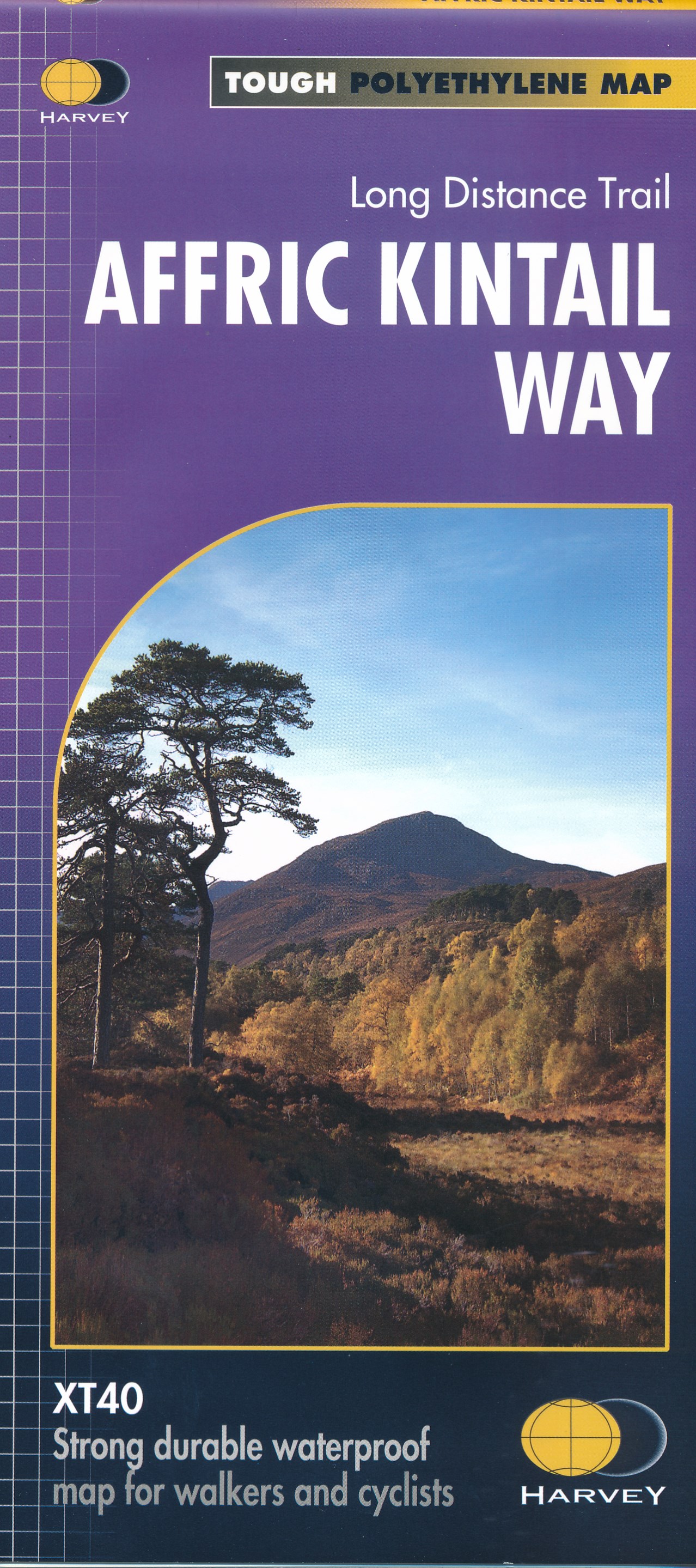
- Wandelkaart Affric Kintail Way | Harvey Maps
- The Affric Kintail Way in Scotland, a 71km / 44 mile long-distance trail leading westwards from Drumnadrochit by Loch Ness to Morvich in Kintail by Loch Duich, presented at 1:40,000 on a light, waterproof and tear-resistant map from Harvey Map Services. The route is shown on four panels.Maps in the Harvey Read more
- Also available from:
- Stanfords, United Kingdom
- The Book Depository, United Kingdom

Stanfords
United Kingdom
United Kingdom
- Affric Kintail Way Harvey National Trail XT40
- The Affric Kintail Way in Scotland, a 71km / 44 mile long-distance trail leading westwards from Drumnadrochit by Loch Ness to Morvich in Kintail by Loch Duich, presented at 1:40,000 on a light, waterproof and tear-resistant map from Harvey Map Services. The route is shown on four panels.Maps in the Harvey’s series covering Great Britain’s... Read more

The Book Depository
United Kingdom
United Kingdom
- Affric Kintail Way
- The Affric Kintail Way in Scotland, a 71km / 44 mile long-distance trail leading westwards from Drumnadrochit by Loch Ness to Morvich in Kintail by Loch Duich, presented at 1:40,000 on a light, waterproof and tear-resistant map from Harvey Map Services. The route is shown on four panels.Maps in the Harvey Read more

De Zwerver
Netherlands
2018
Netherlands
2018
- Wandelkaart East Highland Way | Harvey Maps
- East Highland Way, a 132km / 82 miles trail on a light, waterproof and tear-resistant map at 1:40,000 from Harvey Map Services presenting the route accompanied by extensive additional tourist information. The route links Fort Williams, the northern point of the West Highland Way and the southern point of the Great Glen Way, with Aviemore, the... Read more
- Also available from:
- Stanfords, United Kingdom
- The Book Depository, United Kingdom

Stanfords
United Kingdom
2018
United Kingdom
2018
- East Highland Way Harvey National Trail XT40
- East Highland Way, a 132km / 82 miles trail on a light, waterproof and tear-resistant map at 1:40,000 from Harvey Map Services presenting the route accompanied by extensive additional tourist information. The route links Fort Williams, the northern point of the West Highland Way and the southern point of the Great Glen Way, with Aviemore, the... Read more

The Book Depository
United Kingdom
2018
United Kingdom
2018
- East Highland Way
- East Highland Way, a 132km / 82 miles trail on a light, waterproof and tear-resistant map at 1:40,000 from Harvey Map Services presenting the route accompanied by extensive additional tourist information. The route links Fort Williams, the northern point of the West Highland Way and the southern point of the Great Glen Way, with Aviemore, the... Read more

De Zwerver
Netherlands
Netherlands
- Wandelkaart Great Glen Way | Harvey Maps
- Great Glen Way, a 126km/79 miles trail from Fort William along Loch Ness to Inverness, presented at 1:40,000 on a light, waterproof and tear-resistant map from Harvey Map Services. The whole route is covered on four overlapping panels, and includes street plans of Fort William (showing the start/end of the West Highland Way) and Inverness. Map... Read more
- Also available from:
- Stanfords, United Kingdom
- The Book Depository, United Kingdom

Stanfords
United Kingdom
United Kingdom
- Great Glen Way Harvey National Trail XT40
- Great Glen Way, a 126km/79 miles trail from Fort William along Loch Ness to Inverness, presented at 1:40,000 on a light, waterproof and tear-resistant map from Harvey Map Services. The whole route is covered on four overlapping panels, and includes street plans of Fort William (showing the start/end of the West Highland Way) and Inverness. Map... Read more

The Book Depository
United Kingdom
United Kingdom
- Great Glen Way
- Great Glen Way, a 126km/79 miles trail from Fort William along Loch Ness to Inverness, presented at 1:40,000 on a light, waterproof and tear-resistant map from Harvey Map Services. The whole route is covered on four overlapping panels, and includes street plans of Fort William (showing the start/end of the West Highland Way) and Inverness. Map... Read more