
Pennine Way
Beschrijving
- Name Pennine Way
- Lengte van pad 412 km, 256 mijl
- Lengte in dagen 21 dagen
- Start van pad Edale
- Einde van pad Kirk Yetholm
- Traildino graad SW, Inspannende wandeling, bergpad
- Huttentrektocht graad T2, Bergtocht

Pennine Way, Edale to Kirk Yetholm, 256 miles, 412 km, 21 days
National Trail
"A long green trail from the Peak to the Cheviots.", Tom Stephenson envisioned in 1935. The Pennine Way became the first National Trail to be opened, some fifty years ago, and it's still a major landmark on Britain's hiking map. Many people have enjoyed the hike, and the many reports on the web do bear witness of the beauty of the trail.
After the South West Coast Path, the Pennine Way is the longest path in the UK. It is part of the European E2. This is not an easy walk. The route runs through the highest and most desolate parts of the Pennines. In order to walk this trail, you must have a good physical condition, a healthy amount of perseverance, good rain gear and waterproof shoes.
The path picks the wildest and most beautiful parts of northern England, to the border with Scotland: the Pennines including the Peak District, the colourful Yorkshire Dales, the cheery Cheviots. Despite its popularity, hikers marvel the solitude encountered in this upland part of northern England. At night, in the pub, you will be sharing your pains and pleasures with other hikers and forget about your despair during daytime crossing another fell in rain and storm.
Do not underestimate this trail. The legs are long and often exposed. Be prepared for strong winds, rain and cold. Many people start, few finish. The bogs are reputed for by some and cursed by most, but the worst parts have now been slabbed to stop erosion. Older guidebooks point to the Peak District as a very greasy walk but that is no more. Accommodation options are diminishing. In Kirk Yetholm your Pennine Way Certificate and Free Half Pint is waiting for you in the Border Hotel.
Kaart

Links
Feiten
Verslagen
Gidsen en kaarten
Overnachting
Organisaties
Reisorganisaties
GPS
Anders
Boeken
Netherlands
2015
- Also available from:
- Stanfords, United Kingdom

United Kingdom
2015
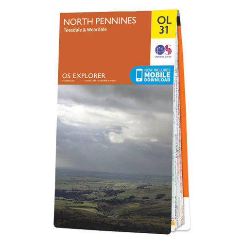
- North Pennines: Teesdale & Weardale OS Explorer Map OL31 (paper)
- The northern part of the Pennines including Teesdale and Weardale on a detailed topographic and GPS compatible map OL31, paper version, from the Ordnance Survey’s 1:25,000 Explorer series. Coverage include Barnard Castle, Middleton-in-Teesdale, Stanhope, Blagill, Gilderdale Forest, Milburn Forest, Hamsterley Forest, Middleton Common, the peaks... Read more
Netherlands
2015
- Also available from:
- Stanfords, United Kingdom

United Kingdom
2015
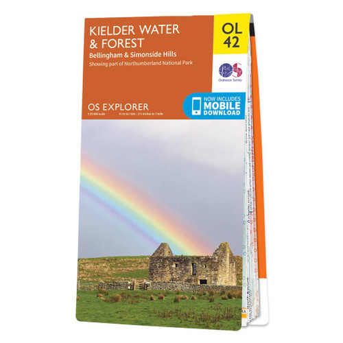
- Kielder Water & Forest - Bellingham & Simonside Hills OS Explorer Map OL42 (paper)
- Kielder Water and Kielder Forest on a detailed topographic and GPS compatible map OL42, paper version, from the Ordnance Survey’s 1:25,000 Explorer series. Coverage includes Simonside Hills, Kershope Forest, Liddesdale, Sweethope Loughs, the peaks of The Dodd, Muckle Knowe, Mid Fell, the lakeside circuit around the Kielder Water, a section of... Read more
Netherlands
2022
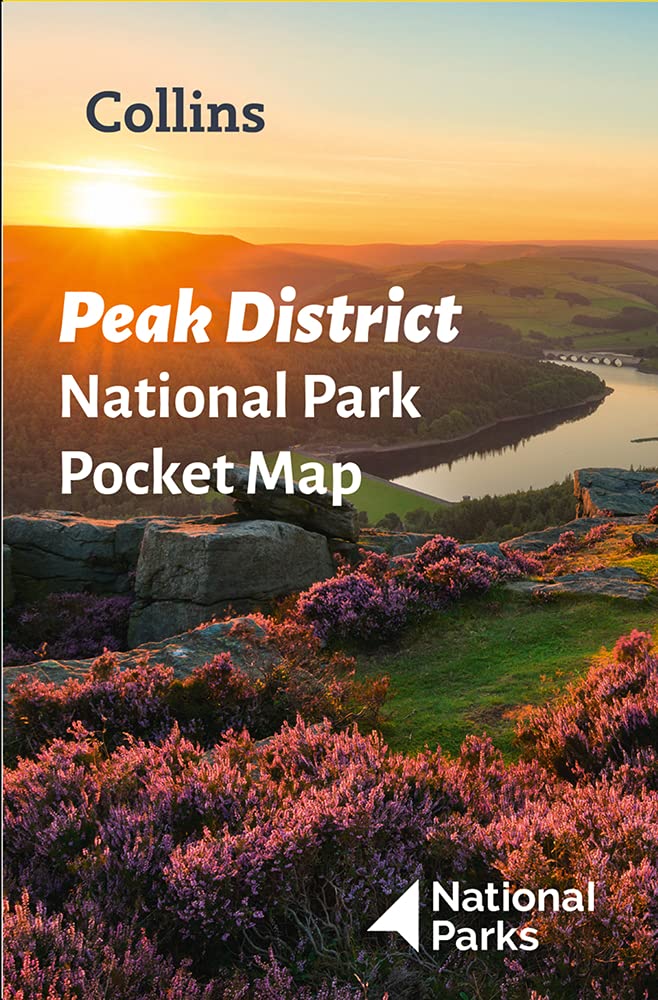
- Wegenkaart - landkaart National Park Pocket Map Peak District | Collins
- Handy little full colour map of Peak District National Park. Detailed mapping and visitor information to the National Park along with a selection of photographs. Map at a scale of 1:120 000 (1cm to 1.20km, 1.9 miles to 1 inch). This small map gives a great overview of the Peak District National Park, and is the perfect... Read more
Netherlands
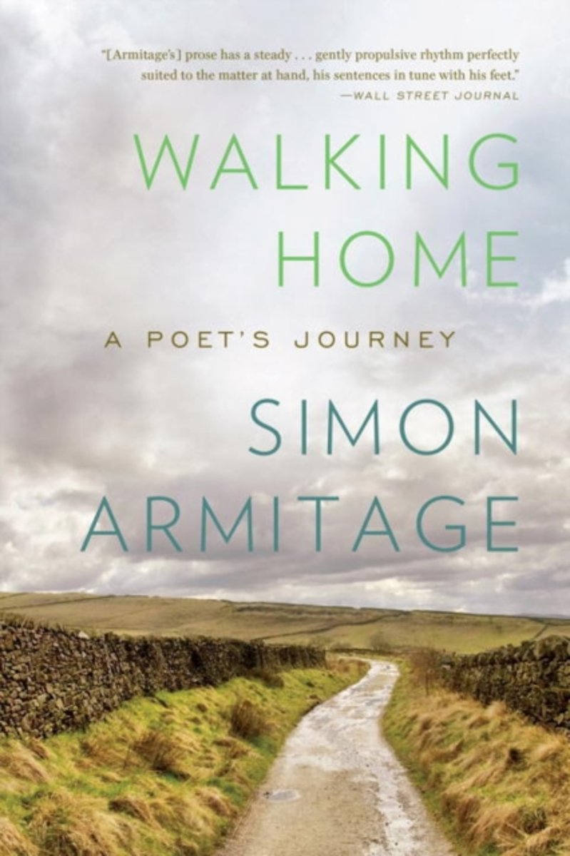
- Walking Home
- The wandering poet has always been a feature of our cultural imagination. Odysseus journeys home, his famous flair for storytelling seducing friend and foe. The Romantic poets tramped all over the Lake District searching for inspiration. Now Simon Armitage, with equal parts enthusiasm and trepidation, as well as a wry humor all his own, has... Read more
- Also available from:
- Bol.com, Belgium
Belgium
- Walking Home
- The wandering poet has always been a feature of our cultural imagination. Odysseus journeys home, his famous flair for storytelling seducing friend and foe. The Romantic poets tramped all over the Lake District searching for inspiration. Now Simon Armitage, with equal parts enthusiasm and trepidation, as well as a wry humor all his own, has... Read more
Netherlands
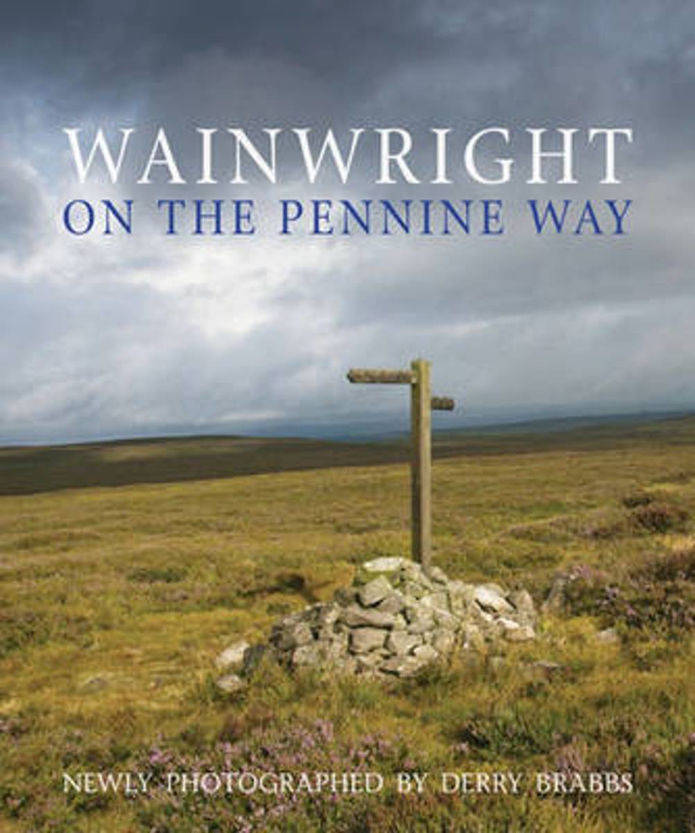
- Wainwright on the Pennine Way
- On 24 April 2015, it will have been exactly fifty years since a ceremony was held at Malham to mark the official opening of the Pennine Way Long Distance Footpath (now designated a National Trail), a trek of some 270 miles from Edale in Derbyshire's Peak District to Kirk Yetholm in the Scottish Borders. There are now 15 National Trails of... Read more
- Also available from:
- Bol.com, Belgium
Belgium
- Wainwright on the Pennine Way
- On 24 April 2015, it will have been exactly fifty years since a ceremony was held at Malham to mark the official opening of the Pennine Way Long Distance Footpath (now designated a National Trail), a trek of some 270 miles from Edale in Derbyshire's Peak District to Kirk Yetholm in the Scottish Borders. There are now 15 National Trails of... Read more

Netherlands
- Plan & Go Pennine Way
- Plan & Go - Pennine Way is the comprehensive guide to hiking one of Britain's best known and toughest trails. In a clear and concise manner, the book describes what to expect from the 268-mile journey along the 'backbone of England' and provides all the essential planning information to save you time and effort with your own preparations.... Read more
- Also available from:
- Bol.com, Belgium
Belgium
- Plan & Go Pennine Way
- Plan & Go - Pennine Way is the comprehensive guide to hiking one of Britain's best known and toughest trails. In a clear and concise manner, the book describes what to expect from the 268-mile journey along the 'backbone of England' and provides all the essential planning information to save you time and effort with your own preparations.... Read more
Netherlands
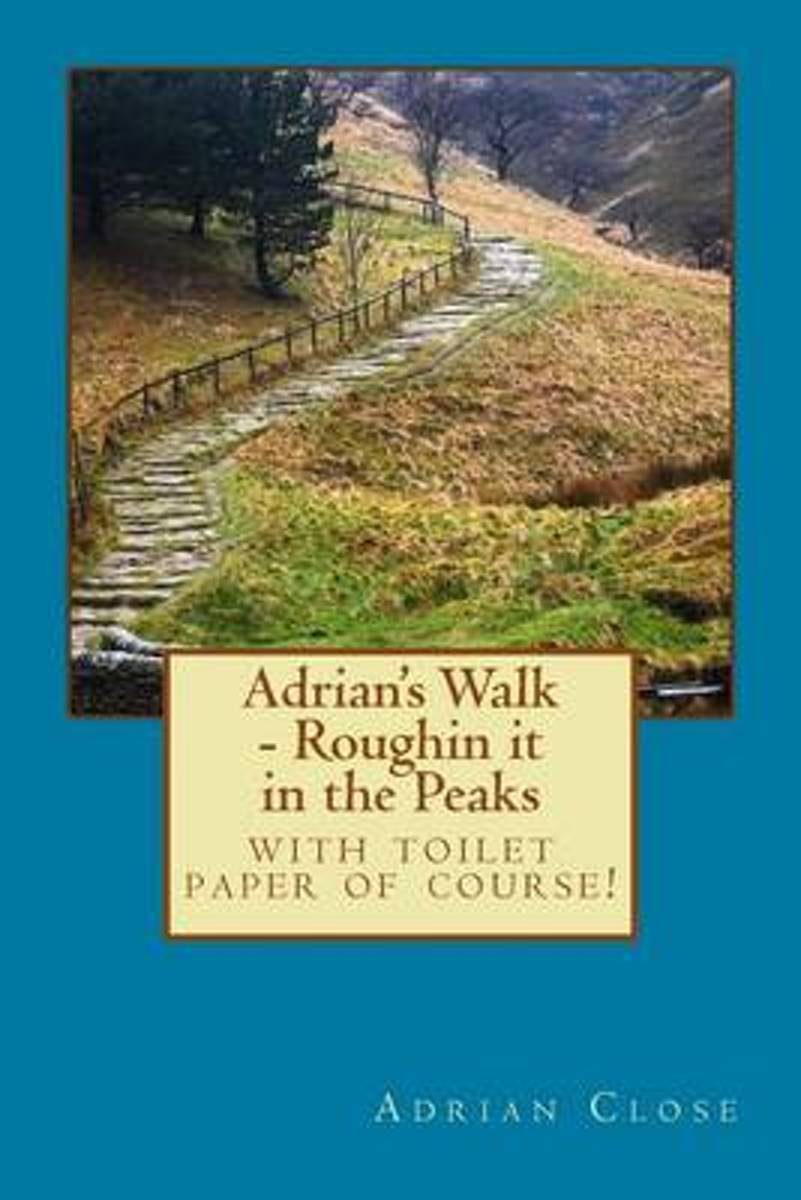
- Adrian's Walk
- Adrians Walk is an energising and energetic celebration of Britains most popular outdoor pastime. £1 from every sale of the guide will be donated to The Edale Mountain rescue Team.The route takes you from the meandering and peaceful country lanes of the White Peaks; to single dirt tracks and strenuous uphill slogs in the Dark Peaks. The... Read more
- Also available from:
- Bol.com, Belgium
- The Book Depository, United Kingdom
Belgium
- Adrian's Walk
- Adrians Walk is an energising and energetic celebration of Britains most popular outdoor pastime. £1 from every sale of the guide will be donated to The Edale Mountain rescue Team.The route takes you from the meandering and peaceful country lanes of the White Peaks; to single dirt tracks and strenuous uphill slogs in the Dark Peaks. The... Read more

Netherlands
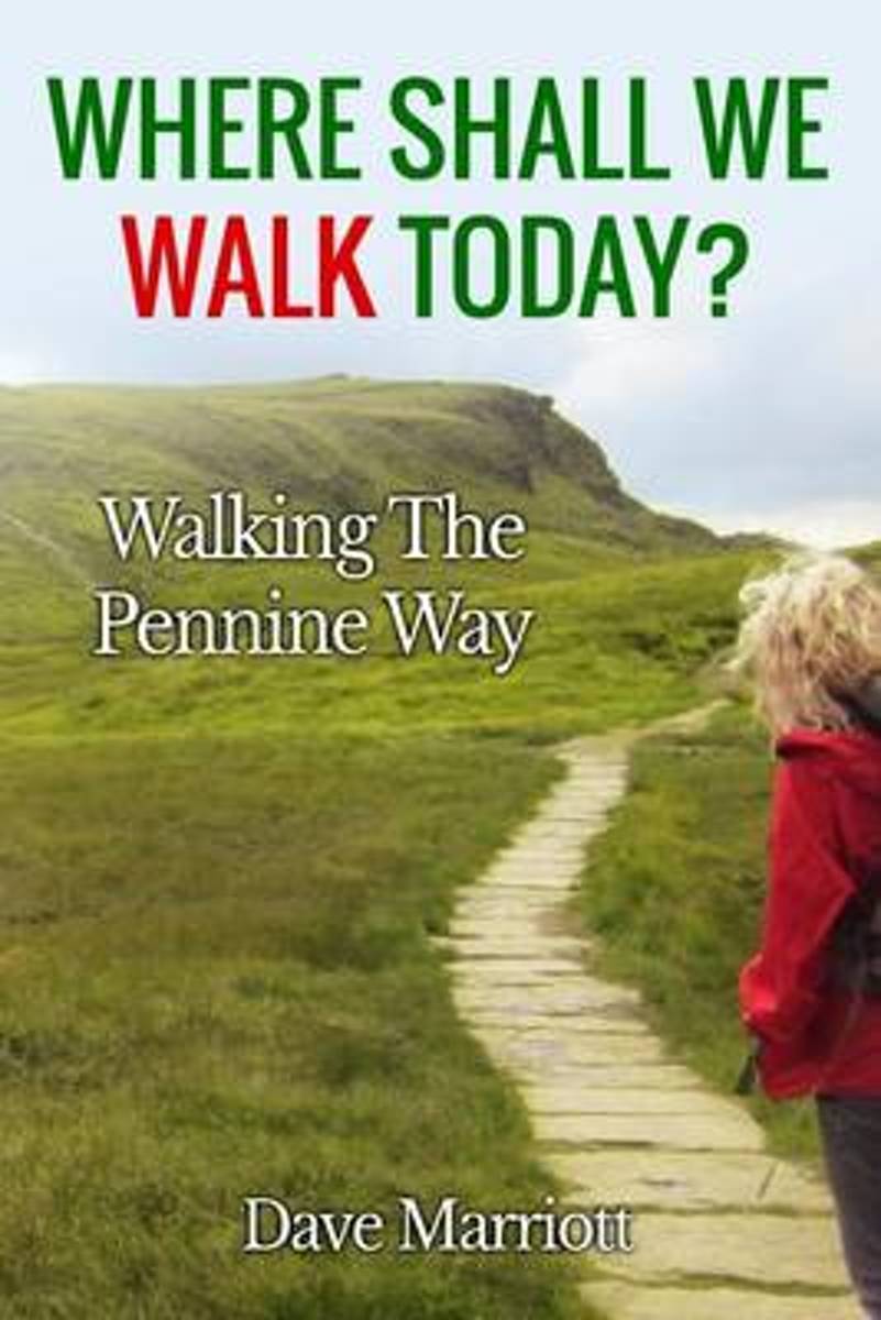
- Where Shall We Walk Today?
- Growing up in the 1960s in a small mining village in Derbyshire, trips to the countryside the great outdoors were a huge part of Dave Marriotts life. Leaving the village was an adventure in itself but the school trip that had the biggest effect on him was the day they visited Edale in the Derbyshire Peak District. As the noisy party of... Read more
- Also available from:
- Bol.com, Belgium
Belgium
- Where Shall We Walk Today?
- Growing up in the 1960s in a small mining village in Derbyshire, trips to the countryside the great outdoors were a huge part of Dave Marriotts life. Leaving the village was an adventure in itself but the school trip that had the biggest effect on him was the day they visited Edale in the Derbyshire Peak District. As the noisy party of... Read more
Netherlands
- Actually, I'm English
- Forty years is a long time to be away. Travelling on foot and by motorbike, Nick Adams discovers that while many things have changed, the things he loved; the hills, the pubs, the back roads and yes, even the weather, are undiminished. Join Nick as he hikes the length of Wales, hitting all the high spots. Then follow him up the spine of England... Read more
- Also available from:
- Bol.com, Belgium
Belgium
- Actually, I'm English
- Forty years is a long time to be away. Travelling on foot and by motorbike, Nick Adams discovers that while many things have changed, the things he loved; the hills, the pubs, the back roads and yes, even the weather, are undiminished. Join Nick as he hikes the length of Wales, hitting all the high spots. Then follow him up the spine of England... Read more
Netherlands
2022
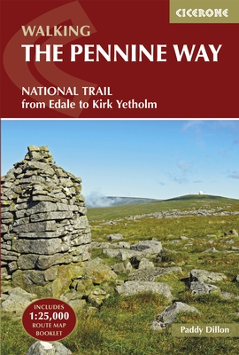
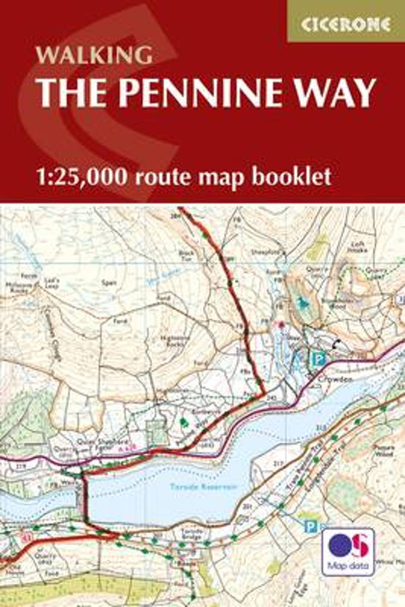
- Wandelgids The Pennine Way | Cicerone
- Guidebook to the Pennine Way National Trail with OS map booklet. The 270-mile route from Edale to Kirk Yetholm takes three weeks to walk and is suitable for fit and experienced long distance walkers. The route crosses the Peak District, Yorkshire Dales and North Pennines National Parks. Includes separate OS 1:25,000 map booklet of the route. Read more
- Also available from:
- Bol.com, Netherlands
- Bol.com, Belgium
- Stanfords, United Kingdom
- The Book Depository, United Kingdom

Netherlands
2017
- The Pennine Way
- The Pennine Way is Britain's oldest, toughest long-distance footpath - and arguably its most iconic. Now a National Trail, the 427km (2651/2 mile) route from Edale in Derbyshire to Kirk Yetholm in the Scottish Borders offers wayfarers the opportunity to immerse themselves in wild beauty of the North. The Pennines boast rolling hills, sweeping... Read more
Belgium
2017
- The Pennine Way
- The Pennine Way is Britain's oldest, toughest long-distance footpath - and arguably its most iconic. Now a National Trail, the 427km (2651/2 mile) route from Edale in Derbyshire to Kirk Yetholm in the Scottish Borders offers wayfarers the opportunity to immerse themselves in wild beauty of the North. The Pennines boast rolling hills, sweeping... Read more

United Kingdom
2017
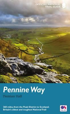
- The Pennine Way: From Edale to Kirk Yetholm
- The Pennine Way is Britain`s oldest, toughest long-distance footpath - and arguably its most iconic. Now a National Trail, the 427km (2651/2 mile) route from Edale in Derbyshire to Kirk Yetholm in the Scottish Borders offers wayfarers the opportunity to immerse themselves in wild beauty of the North. The Pennines boast rolling hills, sweeping... Read more

Netherlands
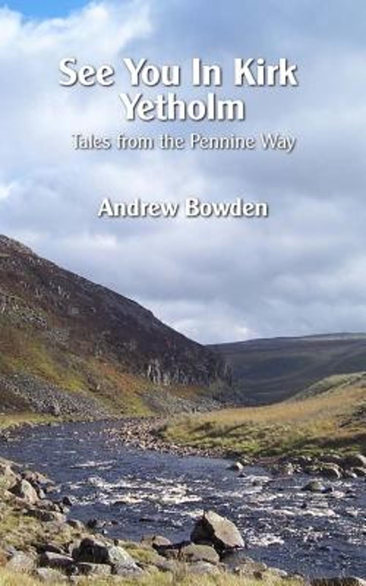
- See You in Kirk Yetholm
- The Pennine Way. The grandfather of walking trails in the UK. For over 60 years walkers have been drawn to its journey across wild and empty moorland, murky bogs, cloud covered summits and endless rain. Yet somehow it has a hypnotic charm that persuades people to walk it, even if they never intended to do so.People like Andrew Bowden. Despite... Read more
- Also available from:
- Bol.com, Belgium
Belgium
- See You in Kirk Yetholm
- The Pennine Way. The grandfather of walking trails in the UK. For over 60 years walkers have been drawn to its journey across wild and empty moorland, murky bogs, cloud covered summits and endless rain. Yet somehow it has a hypnotic charm that persuades people to walk it, even if they never intended to do so.People like Andrew Bowden. Despite... Read more
- Also available from:
- Bol.com, Netherlands
- Bol.com, Belgium
- Stanfords, United Kingdom
- The Book Depository, United Kingdom

Netherlands
2016
- Pennine Way
- To replace its previous two-volume guide to the Pennine Way, Aurum now publishes an entirely new one-volume guide for the 21st-century walker. The Pennine Way is Britain' s toughest long-distance path, running 268 miles from Derbyshire' s Peak District up through the Yorkshire Dales, Cumbria and Northumberland into the Scottish Borders. Until... Read more
Belgium
2016
- Pennine Way
- To replace its previous two-volume guide to the Pennine Way, Aurum now publishes an entirely new one-volume guide for the 21st-century walker. The Pennine Way is Britain' s toughest long-distance path, running 268 miles from Derbyshire' s Peak District up through the Yorkshire Dales, Cumbria and Northumberland into the Scottish Borders. Until... Read more

United Kingdom
2016
- Pennine Way National Trail
- The Pennine Way, the whole 431-km/268 mile route from Edale in the Peak District to Kirk Yetholm in the Scottish Borders, in a series of walking guides to the National Trails in England and Wales with colour extracts from the Ordnance Survey`s Explorer series at 1:25,000 showing points along the route cross-referenced to the text. The maps... Read more

Netherlands
2017
- Pennine Way Map Booklet
- Britain's oldest, toughest and best-known long-distance footpath, the Pennine Way stretches 427km (266 miles) from Edale in Derbyshire to Kirk Yetholm in the Scottish Borders. Showcasing the wild beauty of the North, it crosses three National Parks - the Peak District, Yorkshire Dales and Northumberland National Park - plus the North Pennines... Read more
- Also available from:
- Bol.com, Belgium
- Stanfords, United Kingdom
- The Book Depository, United Kingdom
Belgium
2017
- Pennine Way Map Booklet
- Britain's oldest, toughest and best-known long-distance footpath, the Pennine Way stretches 427km (266 miles) from Edale in Derbyshire to Kirk Yetholm in the Scottish Borders. Showcasing the wild beauty of the North, it crosses three National Parks - the Peak District, Yorkshire Dales and Northumberland National Park - plus the North Pennines... Read more

United Kingdom
2017
- Pennine Way Cicerone Map Booklet
- Britain`s oldest, toughest and best-known long-distance footpath, the Pennine Way stretches 427km (2651/2 miles) from Edale in Derbyshire to Kirk Yetholm in the Scottish Borders. Showcasing the wild beauty of the North, it crosses three National Parks - the Peak District, Yorkshire Dales and Northumberland National Park - plus the North... Read more

Kaarten

Netherlands
2020
- Fietskaart Yorkshire Dales Touring / Nidderdale Area of NB | Harvey Maps
- Yorkshire Dales on a road map at 1:100,000 from Harvey Map Services with several enlargements showing main roads across local towns, plus descriptions of interesting locations, advice on public transport, etc. The map shows the Dales region with altitude colouring to indicate the region Read more
- Also available from:
- Stanfords, United Kingdom

United Kingdom
2020
- Yorkshire Dales Harvey Touring & Planning Map
- Yorkshire Dales on a road map at 1:100,000 from Harvey Map Services with several enlargements showing main roads across local towns, plus descriptions of interesting locations, advice on public transport, etc. The map shows the Dales region with altitude colouring to indicate the region’s topography. Long-distance trails such as the Dales Way,... Read more

Netherlands
- Wandelkaart Pennine Way South | Harvey Maps
- The southern section of the Pennine Way between Edale and Horton in Ribblesdale on a waterproof and tear-resistant map at 1:40,000 from Harvey Map Services presenting the route accompanied by extensive additional tourist information.Divided into six panels, the route is shown on mapping with contours at 15m intervals enhanced by additional... Read more
- Also available from:
- Stanfords, United Kingdom

United Kingdom
- Pennine Way South Harvey XT40 National Trail Map
- The southern section of the Pennine Way between Edale and Horton in Ribblesdale on a waterproof and tear-resistant map at 1:40,000 from Harvey Map Services presenting the route accompanied by extensive additional tourist information.Divided into six panels, the route is shown on mapping with contours at 15m intervals enhanced by additional... Read more

Netherlands
2014
- Fietskaart Dales Noord | Harvey Maps
- The northern part of the Yorkshire Dales on a waterproof and tear-resistant, contoured and GPS compatible map at 1:40,000 from Harvey Map Services showing local right of way paths, long-distance hiking routes, off road cycling routes, etc.Topography is shown by contours at 15m intervals, with spot heights plus colouring and graphics to show... Read more
Netherlands
2017
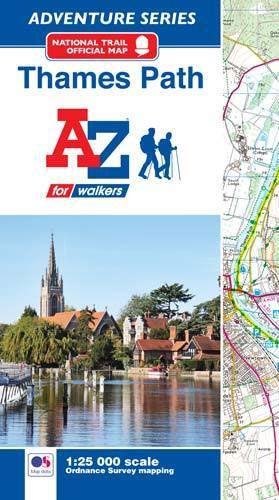
- Thames Path Adventure Atlas
- The A-Z Adventure series features the accuracy and quality of Ordnance Survey`s Explorer mapping in a convenient book, therefore eliminating the need to fold and re-fold a large sheet map to the desired area. OS Explorer is Ordnance Survey`s most detailed mapping at a scale of 1:25 000 showing public rights of way, open access land, national... Read more
- Also available from:
- Bol.com, Belgium
- Stanfords, United Kingdom
Belgium
2017
- Thames Path Adventure Atlas
- The A-Z Adventure series features the accuracy and quality of Ordnance Survey`s Explorer mapping in a convenient book, therefore eliminating the need to fold and re-fold a large sheet map to the desired area. OS Explorer is Ordnance Survey`s most detailed mapping at a scale of 1:25 000 showing public rights of way, open access land, national... Read more
United Kingdom
2017
- Thames Path A-Z Adventure Atlas
- The A-Z Adventure series features the accuracy and quality of Ordnance Survey`s Explorer mapping in a convenient book, therefore eliminating the need to fold and re-fold a large sheet map to the desired area. OS Explorer is Ordnance Survey`s most detailed mapping at a scale of 1:25 000 showing public rights of way, open access land, national... Read more

Netherlands
- England Coast Path Camber to Folkestone Adventure Map
- The A-Z Adventure Series of maps combines the best of OS and A-Z, creating the perfect companion for walkers, off-road cyclists, horse riders and anyone wishing to explore the great outdoors.This official Camber to Folkestone Adventure Map section of the England Coast Path, a new National Trail around England`s coast. More than just a path, it... Read more
- Also available from:
- Bol.com, Belgium
- Stanfords, United Kingdom
Belgium
- England Coast Path Camber to Folkestone Adventure Map
- The A-Z Adventure Series of maps combines the best of OS and A-Z, creating the perfect companion for walkers, off-road cyclists, horse riders and anyone wishing to explore the great outdoors.This official Camber to Folkestone Adventure Map section of the England Coast Path, a new National Trail around England`s coast. More than just a path, it... Read more

United Kingdom
- England Coast Path - Camber to Folkestone Adventure Map
- The A-Z Adventure Series of maps combines the best of OS and A-Z, creating the perfect companion for walkers, off-road cyclists, horse riders and anyone wishing to explore the great outdoors.This official Camber to Folkestone Adventure Map section of the England Coast Path, a new National Trail around England`s coast. More than just a path, it... Read more

Netherlands
- England Coast Path Folkestone to Ramsgate Adventure Map
- The A-Z Adventure Series of maps combines the best of OS and A-Z, creating the perfect companion for walkers, off-road cyclists, horse riders and anyone wishing to explore the great outdoors.This official Folkestone to Ramsgate Adventure Map section of the England Coast Path, a new National Trail around England`s coast. More than just a path,... Read more
- Also available from:
- Bol.com, Belgium
Belgium
- England Coast Path Folkestone to Ramsgate Adventure Map
- The A-Z Adventure Series of maps combines the best of OS and A-Z, creating the perfect companion for walkers, off-road cyclists, horse riders and anyone wishing to explore the great outdoors.This official Folkestone to Ramsgate Adventure Map section of the England Coast Path, a new National Trail around England`s coast. More than just a path,... Read more

United Kingdom
- Barnard Castle and Richmond 1903-1904
- Map No. 92, Barnard Castle and Richmond 1903-1904, in the Cassini Historical Series of old Ordnance Survey mapping of England and Wales at 1:50,000 in a format designed to offer a convenient comparison with the present day coverage from the OS, and most locations in three different editions. Old historical maps have been combined so that the... Read more
United Kingdom
- Manchester 1842-1844
- Map No. 109, Manchester 1842-1844, in the Cassini Historical Series of old Ordnance Survey mapping of England and Wales at 1:50,000 in a format designed to offer a convenient comparison with the present day coverage from the OS, and most locations in three different editions. Old historical maps have been combined so that the sheet lines... Read more
United Kingdom
- Manchester 1923-1925
- Map No. 109, Manchester 1923-1925, in the Cassini Historical Series of old Ordnance Survey mapping of England and Wales at 1:50,000 in a format designed to offer a convenient comparison with the present day coverage from the OS, and most locations in three different editions. Old historical maps have been combined so that the sheet lines... Read more
United Kingdom
- Manchester 1903
- Map No. 109, Manchester 1903, in the Cassini Historical Series of old Ordnance Survey mapping of England and Wales at 1:50,000 in a format designed to offer a convenient comparison with the present day coverage from the OS, and most locations in three different editions. Old historical maps have been combined so that the sheet lines correspond... Read more
United Kingdom
- Haltwhistle and Brampton 1866-1925 (3-map set)
- Map No. 86, Haltwhistle and Brampton 1866-1925 (3-map set), in the Cassini Historical Series of old Ordnance Survey mapping of England and Wales at 1:50,000 in a format designed to offer a convenient comparison with the present day coverage from the OS, and most locations in three different editions. Old historical maps have been combined so... Read more
United Kingdom
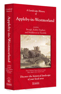
- Appleby-in-Westmorland 1860-1925 (3-map set)
- Map No. 91, Appleby-in-Westmorland 1860-1925 (3-map set), in the Cassini Historical Series of old Ordnance Survey mapping of England and Wales at 1:50,000 in a format designed to offer a convenient comparison with the present day coverage from the OS, and most locations in three different editions. Old historical maps have been combined so that... Read more
United Kingdom
- Sheffield and Huddersfield 1840-1841
- Map No. 110, Sheffield and Huddersfield 1840-1841, in the Cassini Historical Series of old Ordnance Survey mapping of England and Wales at 1:50,000 in a format designed to offer a convenient comparison with the present day coverage from the OS, and most locations in three different editions. Old historical maps have been combined so that the... Read more
United Kingdom
- Sheffield and Huddersfield 1923-1925
- Map No. 110, Sheffield and Huddersfield 1923-1925, in the Cassini Historical Series of old Ordnance Survey mapping of England and Wales at 1:50,000 in a format designed to offer a convenient comparison with the present day coverage from the OS, and most locations in three different editions. Old historical maps have been combined so that the... Read more
United Kingdom
- Sheffield and Huddersfield 1903
- Map No. 110, Sheffield and Huddersfield 1903, in the Cassini Historical Series of old Ordnance Survey mapping of England and Wales at 1:50,000 in a format designed to offer a convenient comparison with the present day coverage from the OS, and most locations in three different editions. Old historical maps have been combined so that the sheet... Read more