
Cape Wrath Trail
Beschrijving
- Name Cape Wrath Trail
- Lengte van pad 322 km, 200 mijl
- Lengte in dagen 20 dagen
- Start van pad Fort William
- Einde van pad Cape Wrath
- Traildino graad MW, Gemiddelde wandeling, trektocht
- Huttentrektocht graad T1, Wandeling
Cape Wrath Trail, Fort William - Cape Wrath, 200 miles, 3 weeks
Links
Feiten
Verslagen
Gidsen en kaarten
Overnachting
Organisaties
Reisorganisaties
GPS
Anders
Boeken
Bol.com
Netherlands
Netherlands
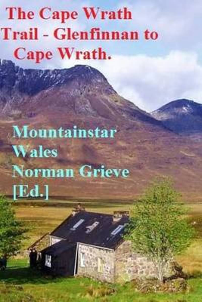
- The Cape Wrath Trail - Glenfinnan to Cape Wrath.
- P.3 Day 1. Glenfinnan to Sourlies Bothy. 16.5 miles.P.5 Day 2. Sourlies to Kinloch Hourn. 14 miles. P.9 Day 3. Kinloch Hourn to Ratagan. 10.4 miles. P.9 Day 4. Ratagan to Lochcarron. 18 miles.P.11 Day 5. Lochcarron to Torridon. 13.5 miles.P.12 Day 6. Torridon to Kinlochewe. 9.5 miles.P.12 Day 7. Kinlochewe to Shenavall bothy. 16 miles. P.16 Day... Read more
- Also available from:
- Bol.com, Belgium
Bol.com
Belgium
Belgium
- The Cape Wrath Trail - Glenfinnan to Cape Wrath.
- P.3 Day 1. Glenfinnan to Sourlies Bothy. 16.5 miles.P.5 Day 2. Sourlies to Kinloch Hourn. 14 miles. P.9 Day 3. Kinloch Hourn to Ratagan. 10.4 miles. P.9 Day 4. Ratagan to Lochcarron. 18 miles.P.11 Day 5. Lochcarron to Torridon. 13.5 miles.P.12 Day 6. Torridon to Kinlochewe. 9.5 miles.P.12 Day 7. Kinlochewe to Shenavall bothy. 16 miles. P.16 Day... Read more

Bol.com
Netherlands
Netherlands
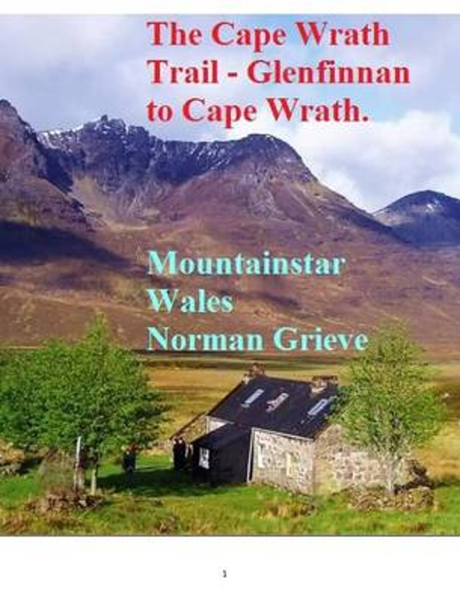
- The Cape Wrath Trail
- The Cape Wrath Trail, Glenfinnan to Cape Wrath.P.3 Day 1. Glenfinnan to Sourlies Bothy. 16.5 miles.P.5 Day 2. Sourlies to Kinloch Hourn. 14 miles. P.9 Day 3. Kinloch Hourn to Ratagan. 10.4 miles. P.9 Day 4. Ratagan to Lochcarron. 18 miles.P.11 Day 5. Lochcarron to Torridon. 13.5 miles.P.12 Day 6. Torridon to Kinlochewe. 9.5 miles.P.12 Day 7.... Read more
- Also available from:
- Bol.com, Belgium
Bol.com
Belgium
Belgium
- The Cape Wrath Trail
- The Cape Wrath Trail, Glenfinnan to Cape Wrath.P.3 Day 1. Glenfinnan to Sourlies Bothy. 16.5 miles.P.5 Day 2. Sourlies to Kinloch Hourn. 14 miles. P.9 Day 3. Kinloch Hourn to Ratagan. 10.4 miles. P.9 Day 4. Ratagan to Lochcarron. 18 miles.P.11 Day 5. Lochcarron to Torridon. 13.5 miles.P.12 Day 6. Torridon to Kinlochewe. 9.5 miles.P.12 Day 7.... Read more
Bol.com
Netherlands
Netherlands
- The Cape Wrath Trail
- P.3 Day 1. Glenfinnan to Sourlies Bothy. 16.5 miles.P.5 Day 2. Sourlies to Kinloch Hourn. 14 miles. P.9 Day 3. Kinloch Hourn to Ratagan. 10.4 miles. P.9 Day 4. Ratagan to Lochcarron. 18 miles.P.11 Day 5. Lochcarron to Torridon. 13.5 miles.P.12 Day 6. Torridon to Kinlochewe. 9.5 miles.P.12 Day 7. Kinlochewe to Shenavall bothy. 16 miles. P.16 Day... Read more
- Also available from:
- Bol.com, Belgium
Bol.com
Belgium
Belgium
- The Cape Wrath Trail
- P.3 Day 1. Glenfinnan to Sourlies Bothy. 16.5 miles.P.5 Day 2. Sourlies to Kinloch Hourn. 14 miles. P.9 Day 3. Kinloch Hourn to Ratagan. 10.4 miles. P.9 Day 4. Ratagan to Lochcarron. 18 miles.P.11 Day 5. Lochcarron to Torridon. 13.5 miles.P.12 Day 6. Torridon to Kinlochewe. 9.5 miles.P.12 Day 7. Kinlochewe to Shenavall bothy. 16 miles. P.16 Day... Read more
Bol.com
Netherlands
Netherlands
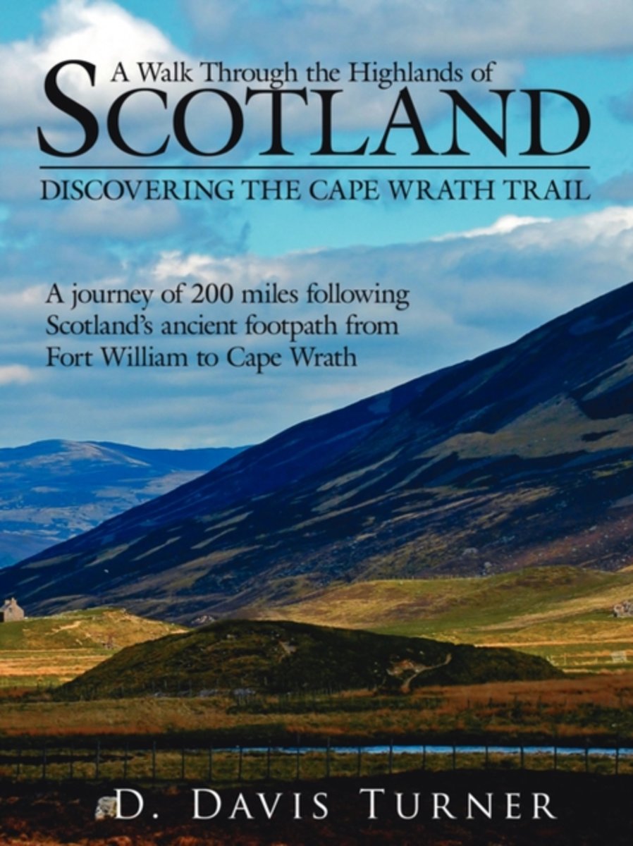
- A Walk Through the Highlands of Scotland
- Discovering the Cape Wrath Trail. a Journey of 200 Miles Following Scotlands Ancient Footpath from Fort William to Cape Wrath Read more
- Also available from:
- Bol.com, Belgium
Bol.com
Belgium
Belgium
- A Walk Through the Highlands of Scotland
- Discovering the Cape Wrath Trail. a Journey of 200 Miles Following Scotlands Ancient Footpath from Fort William to Cape Wrath Read more
Bol.com
Netherlands
2015
Netherlands
2015
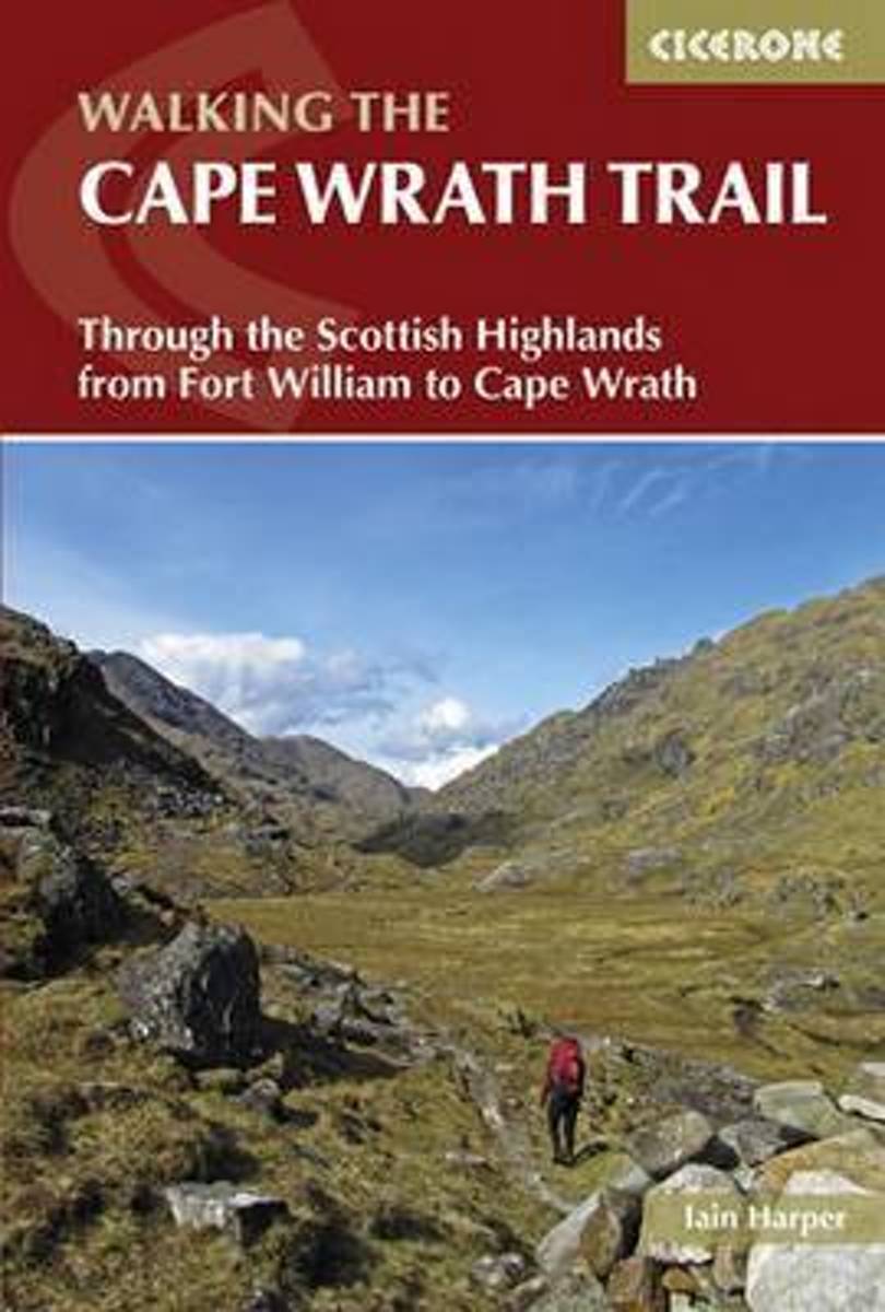
- The Cape Wrath trail
- This guidebook describes the Cape Wrath Trail, a long-distance trek from Fort William to Cape Wrath crossing the wild north west of the Scottish Highlands. The route is described from south to north in 14 stages, with 6 alternative stages along the way, allowing for a flexible itinerary of between two and three weeks. A long tough trek with no... Read more
- Also available from:
- Bol.com, Belgium
Bol.com
Belgium
2015
Belgium
2015
- The Cape Wrath trail
- This guidebook describes the Cape Wrath Trail, a long-distance trek from Fort William to Cape Wrath crossing the wild north west of the Scottish Highlands. The route is described from south to north in 14 stages, with 6 alternative stages along the way, allowing for a flexible itinerary of between two and three weeks. A long tough trek with no... Read more

The Book Depository
United Kingdom
United Kingdom
- The Farthest Shore
- Seeking solitude and nature on the Cape Wrath Trail in winter Read more
De Zwerver
Netherlands
2022
Netherlands
2022
- Wandelgids The Cape Wrath Trail | Cicerone
- Backpacking through the Scottish Highlands: Fort William to Cape Wrath Read more
- Also available from:
- The Book Depository, United Kingdom

The Book Depository
United Kingdom
2022
United Kingdom
2022
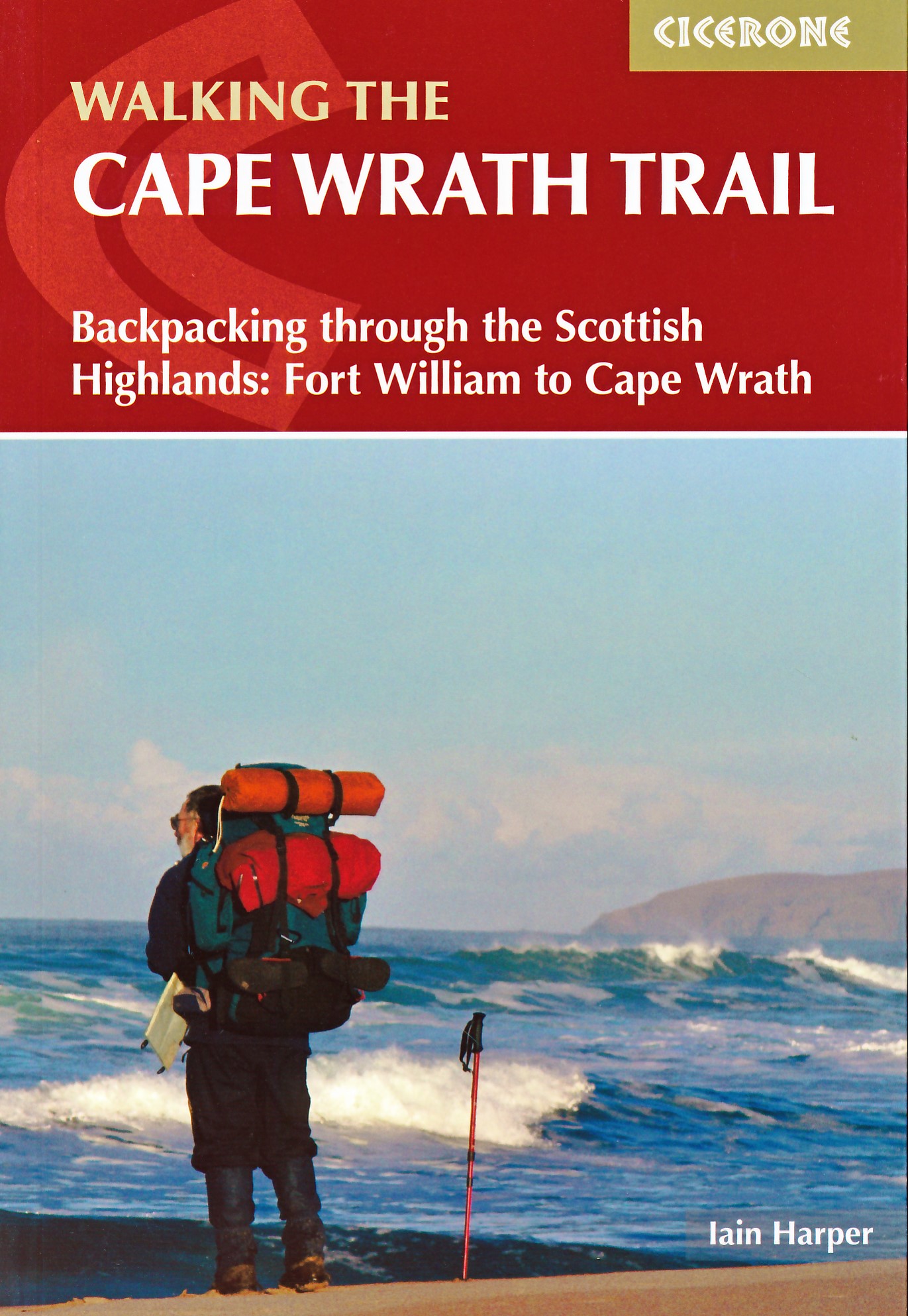
- Walking the Cape Wrath Trail
- Backpacking through the Scottish Highlands: Fort William to Cape Wrath Read more
Kaarten

De Zwerver
Netherlands
2014
Netherlands
2014
- Wandelkaart Cape Wrath Trail South | Harvey Maps
- The southern section of the Cape Wrath Trail, from Fort William to Strathcarron presented at 1:40,000 on a light, waterproof and tear-resistant map from Harvey Map Services. The map covers this section of the trail on eight panels, showing both the western variant via Inverie and Shiel Bridge, and inland route along Loch Lochy and Invegarry.... Read more
- Also available from:
- Bol.com, Netherlands
- Bol.com, Belgium
- Stanfords, United Kingdom
- The Book Depository, United Kingdom

Bol.com
Netherlands
2014
Netherlands
2014
- Cape Wrath Trail South XT40
- Cape Wrath Trail is a challenging route from Fort William to Cape Wrath. It is around 200 miles long and passes through some of Scotland's wildest and most spectacular scenery. The trail has evolved from use and is not an officially recognised National Trail. There is no single definitive route. There are various ways of tackling the traverse... Read more
Bol.com
Belgium
2014
Belgium
2014
- Cape Wrath Trail South XT40
- Cape Wrath Trail is a challenging route from Fort William to Cape Wrath. It is around 200 miles long and passes through some of Scotland's wildest and most spectacular scenery. The trail has evolved from use and is not an officially recognised National Trail. There is no single definitive route. There are various ways of tackling the traverse... Read more

Stanfords
United Kingdom
2014
United Kingdom
2014
- Cape Wrath Trail South - Fort William to Strathcarron Harvey National Trail XT40
- The southern section of the Cape Wrath Trail, from Fort William to Strathcarron presented at 1:40,000 on a light, waterproof and tear-resistant map from Harvey Map Services. The map covers this section of the trail on eight panels, showing both the western variant via Inverie and Shiel Bridge, and inland route along Loch Lochy and Invegarry.... Read more


De Zwerver
Netherlands
2014
Netherlands
2014
- Wandelkaart Cape Wrath Trail North | Harvey Maps
- The northern section of the Cape Wrath Trail, from Strathcarron via Ullapool to Cape Wrath - the most north-westerly point in the mainland United Kingdom, presented at 1:40,000 on a light, waterproof and tear-resistant map from Harvey Map Services. The map covers this section of the trail on 12 overlapping panels. The whole Cape Wrath Trail is... Read more
- Also available from:
- Bol.com, Netherlands
- Bol.com, Belgium
- Stanfords, United Kingdom
- The Book Depository, United Kingdom

Bol.com
Netherlands
2014
Netherlands
2014
- Cape Wrath Trail North XT40
- The northern section of the Cape Wrath Trail, from Strathcarron via Ullapool to Cape Wrath - the most north-westerly point in the mainland United Kingdom, presented at 1:40,000 on a light, waterproof and tear-resistant map from Harvey Map Services. The map covers this section of the trail on 12 overlapping panels. The whole Cape Wrath Trail is... Read more
Bol.com
Belgium
2014
Belgium
2014
- Cape Wrath Trail North XT40
- The northern section of the Cape Wrath Trail, from Strathcarron via Ullapool to Cape Wrath - the most north-westerly point in the mainland United Kingdom, presented at 1:40,000 on a light, waterproof and tear-resistant map from Harvey Map Services. The map covers this section of the trail on 12 overlapping panels. The whole Cape Wrath Trail is... Read more

Stanfords
United Kingdom
2014
United Kingdom
2014
- Cape Wrath Trail North - Strathcarron to Cape Wrath Harvey National Trail XT40
- The northern section of the Cape Wrath Trail, from Strathcarron via Ullapool to Cape Wrath - the most north-westerly point in the mainland United Kingdom, presented at 1:40,000 on a light, waterproof and tear-resistant map from Harvey Map Services. The map covers this section of the trail on 12 overlapping panels. The whole Cape Wrath Trail is... Read more
