
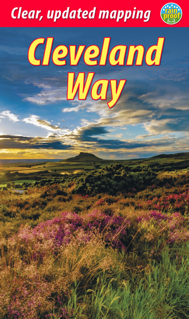
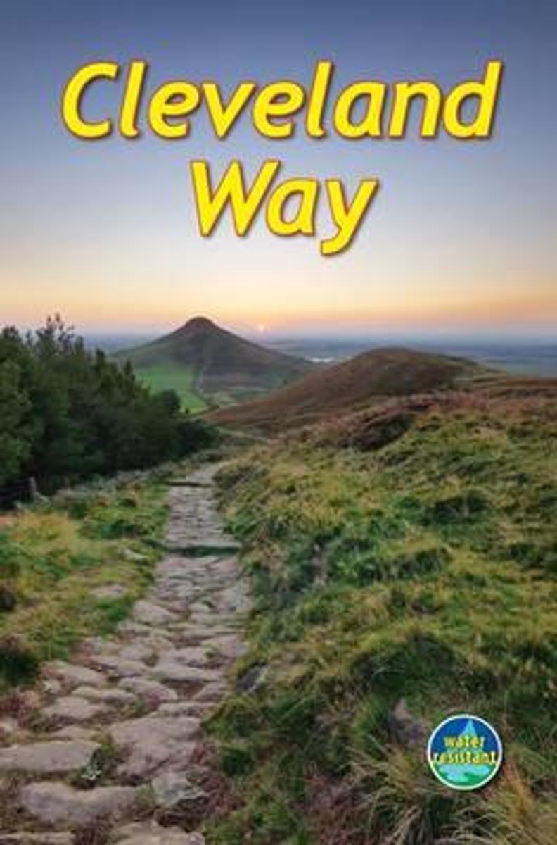
Cleveland Way
Beschrijving
- Name Cleveland Way
- Lengte van pad 175 km, 109 mijl
- Lengte in dagen 9 dagen
- Traildino graad EW, Makkelijke wandeling, natuurpad

109 miles, 175 km, 9 days
National Trail
The Cleveland Way is a popular National Trail, running for 109 miles, 175 km. It was the second National Trail to be opened, after the Pennine Way.
The Yorkshire Moors is one of the largest expanses of heather moorland in the country. The first part of the path traverses the inland part of the moors. Then it continues south along the cliff coast, untill reaching the village of Filey, where it connects to the Yorkshire Wolds Way. You will pass the Jurassic Coast, isolated villages, beaches, and the ruins of Whitby Abbey.
Kaart

Links
Feiten
Verslagen
Gidsen en kaarten
Overnachting
Organisaties
Reisorganisaties
GPS
Anders
Boeken

De Zwerver
Netherlands
2024
Netherlands
2024
De Zwerver
Netherlands
2011
Netherlands
2011
- Wandelkaart North York Moors | Harvey Maps
- North Yorkshire Moors National Park at 1:40,000 on a GPS compatible, contoured map from Harvey Map Services printed on light, waterproof and tear-resistant synthetic paper, with a geological map of the region on the reverse, advice on safety and first aid, etc.The map covers most of the area on one side, but with the northernmost and... Read more
- Also available from:
- Stanfords, United Kingdom

Stanfords
United Kingdom
2011
United Kingdom
2011
- North York Moors Harvey British Mountain Map XT40
- North Yorkshire Moors National Park at 1:40,000 on a GPS compatible, contoured map from Harvey Map Services printed on light, waterproof and tear-resistant synthetic paper, with a geological map of the region on the reverse, advice on safety and first aid, etc.The map covers most of the area on one side, but with the northernmost and... Read more
Bol.com
Netherlands
Netherlands
- Cleveland Way
- The Cleveland Way is one of England's oldest and best-loved National Trails. It runs for 110 miles (177 km) around the North York Moors National Park, starting inland at Helmsley, offering panoramic views over the vales of York and Mowbray and from the Cleveland Hills. After reaching the coast at Saltburn, it heads south along the dramatic sea... Read more
- Also available from:
- Bol.com, Belgium
- The Book Depository, United Kingdom
Bol.com
Belgium
Belgium
- Cleveland Way
- The Cleveland Way is one of England's oldest and best-loved National Trails. It runs for 110 miles (177 km) around the North York Moors National Park, starting inland at Helmsley, offering panoramic views over the vales of York and Mowbray and from the Cleveland Hills. After reaching the coast at Saltburn, it heads south along the dramatic sea... Read more

Bol.com
Netherlands
2010
Netherlands
2010
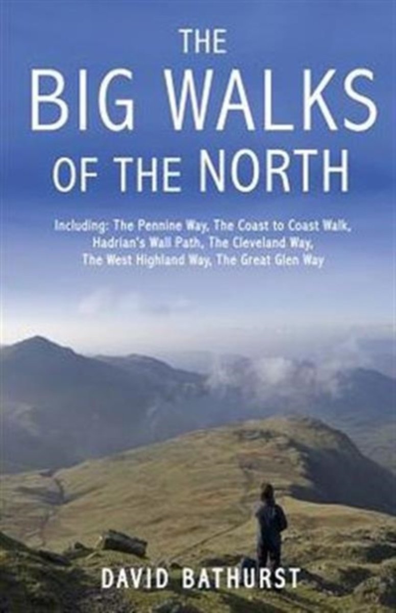
- The Big Walks of the North
- From the Great Glen Way to the Coast to Coast Path, there is no better way to discover the spectacular diversity of northern Britain's landscape than on foot. Whether you enjoy exploring green and gently rolling dales or tackling rugged mountain paths, there are walks here to keep you rambling all year round.An indefatigable walker, David... Read more
- Also available from:
- Bol.com, Belgium
Bol.com
Belgium
2010
Belgium
2010
- The Big Walks of the North
- From the Great Glen Way to the Coast to Coast Path, there is no better way to discover the spectacular diversity of northern Britain's landscape than on foot. Whether you enjoy exploring green and gently rolling dales or tackling rugged mountain paths, there are walks here to keep you rambling all year round.An indefatigable walker, David... Read more
Bol.com
Netherlands
2016
Netherlands
2016
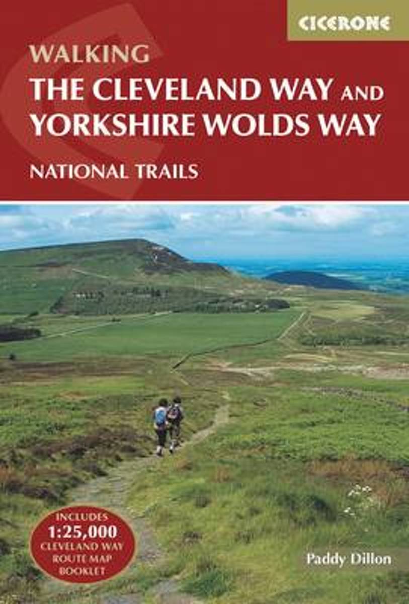
- The Cleveland Way and the Yorkshire Wolds Way
- Guidebook to the Cleveland Way and Yorkshire Wolds Way National Trails, plus the Tabular Hills Walk link route. The guidebook also contains a 1:25,000 scale OS route map booklet of the Cleveland Way. The Cleveland Way National Trail, described in seven day stages, is a fine 177km (110 miles) walk around the North York Moors National Park from... Read more
- Also available from:
- Bol.com, Belgium
- Stanfords, United Kingdom
- The Book Depository, United Kingdom
Bol.com
Belgium
2016
Belgium
2016
- The Cleveland Way and the Yorkshire Wolds Way
- Guidebook to the Cleveland Way and Yorkshire Wolds Way National Trails, plus the Tabular Hills Walk link route. The guidebook also contains a 1:25,000 scale OS route map booklet of the Cleveland Way. The Cleveland Way National Trail, described in seven day stages, is a fine 177km (110 miles) walk around the North York Moors National Park from... Read more

Stanfords
United Kingdom
2016
United Kingdom
2016
- Cleveland Way and Yorkshire Wolds Way
- The Cleveland Way National Trail offers a fine 110 mile walk around the North York Moors National Park, enjoying scenery that includes the open heather moorlands, gentle dales, interesting towns and villages, and dramatic cliff coastline. The Tabular Hills Walk is a 50 mile Regional Trail between Scalby Mills, near Scarborough and Hemsley, far... Read more

The Book Depository
United Kingdom
2016
United Kingdom
2016
- The Cleveland Way and the Yorkshire Wolds Way
- Includes 1:25,000 Cleveland Way route map booklet Read more
Bol.com
Netherlands
2016
Netherlands
2016
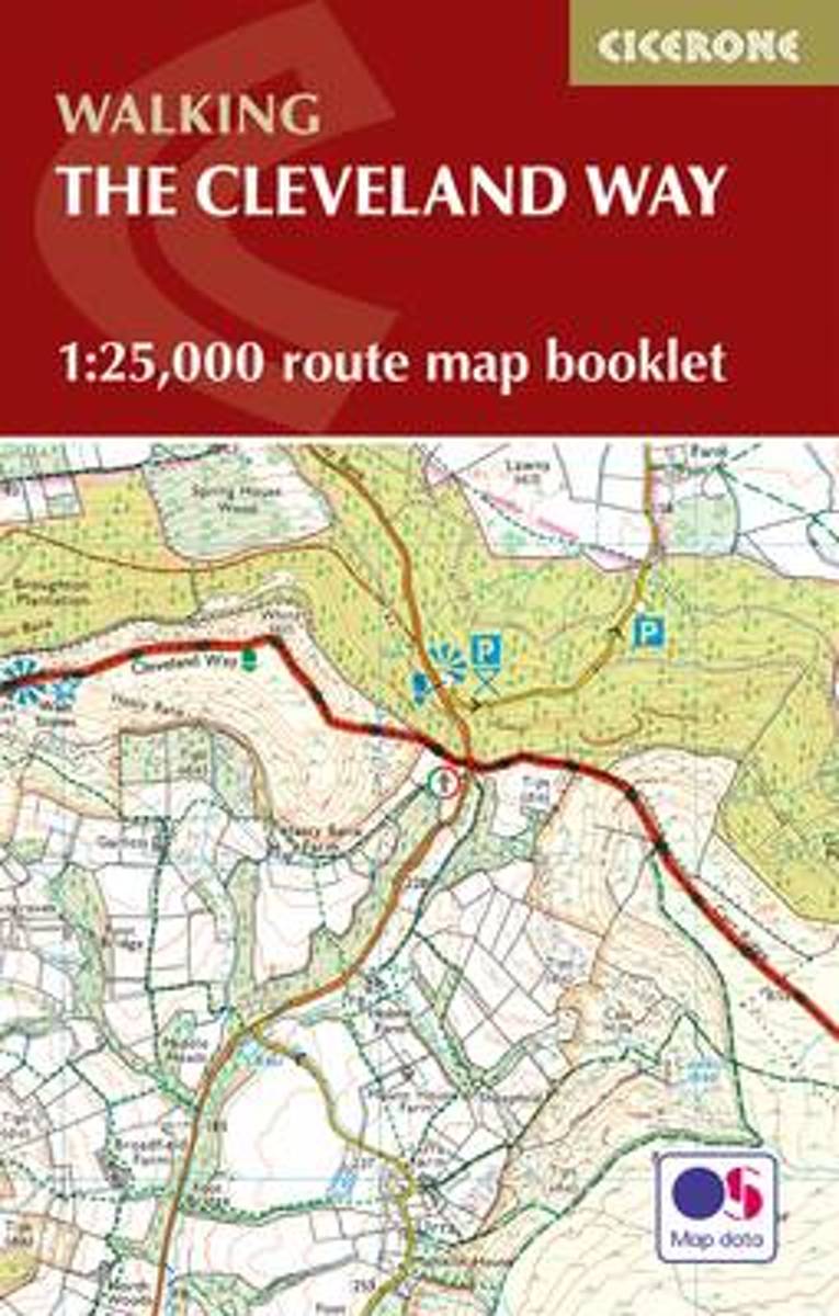
- The Cleveland Way Map Booklet
- All the mapping you need to complete the Cleveland Way national trail. A long-distance route of 177 km (110 miles), giving around 9 days of easy and enjoyable walking through the North York Moors National Park, taking in open heather moorlands, gentle dales, interesting towns and villages, and dramatic cliff coastlines. This booklet of Ordnance... Read more
- Also available from:
- Bol.com, Belgium
- Stanfords, United Kingdom
- The Book Depository, United Kingdom
Bol.com
Belgium
2016
Belgium
2016
- The Cleveland Way Map Booklet
- All the mapping you need to complete the Cleveland Way national trail. A long-distance route of 177 km (110 miles), giving around 9 days of easy and enjoyable walking through the North York Moors National Park, taking in open heather moorlands, gentle dales, interesting towns and villages, and dramatic cliff coastlines. This booklet of Ordnance... Read more

Stanfords
United Kingdom
2016
United Kingdom
2016
- The Cleveland Way Cicerone Map Booklet
- All the mapping you need to complete the Cleveland Way national trail. A long-distance route of 177 km (110 miles), giving around 9 days of easy and enjoyable walking through the North York Moors National Park, taking in open heather moorlands, gentle dales, interesting towns and villages, and dramatic cliff coastlines. This booklet of... Read more

The Book Depository
United Kingdom
2016
United Kingdom
2016
- The Cleveland Way Map Booklet
- 1:25,000 OS Route Mapping Read more

Stanfords
United Kingdom
United Kingdom
- North York Moors Western OS Explorer Active Map OL26 (waterproof)
- The western part of the North York Moors National Park on a detailed topographic and GPS compatible map OL26, waterproof version, from the Ordnance Survey’s 1:25,000 Explorer series. Coverage extends from Ampleforth in the south northwards to Saltburn-by-the-Sea, and from Ingleby Arncliffe to Danby, Castleton and Hutton-le-Hole, and includes... Read more
- Also available from:
- The Book Depository, United Kingdom

The Book Depository
United Kingdom
2019
United Kingdom
2019
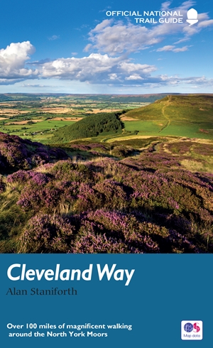
- The Cleveland Way
- Over 100 miles of magnificent walking around the North York Moors Read more

De Zwerver
Netherlands
2016
Netherlands
2016
- Also available from:
- Stanfords, United Kingdom
- The Book Depository, United Kingdom

Stanfords
United Kingdom
2016
United Kingdom
2016
- North York Moors Western OS Explorer Map OL26 (paper)
- The western part of the North York Moors National Park on a detailed topographic and GPS compatible map OL26, paper version, from the Ordnance Survey’s 1:25,000 Explorer series. Coverage extends from Ampleforth in the south northwards to Saltburn-by-the-Sea, and from Ingleby Arncliffe to Danby, Castleton and Hutton-le-Hole, and includes... Read more


Stanfords
United Kingdom
2019
United Kingdom
2019
- Cleveland Way: North York Moors - Helmsley to Filey
- All-in-one, practical guide to walking Cleveland Way National Trail, in the beautiful, wild countryside of the North York Moors National Park in northern England. The 110-mile route runs from Helmsley near Thirsk around the western edge of the park to reach the coast at Saltburn-by-the-Sea. It then continues along the eastern edge of the park... Read more
- Also available from:
- The Book Depository, United Kingdom

The Book Depository
United Kingdom
2019
United Kingdom
2019
- Cleveland Way (Trailblazer British Walking Guides) 2019
- 48 Large-Scale Walking Maps, Town Plans, Overview Maps - Planning, Places to Stay, Places to Eat: North York Moors - Helmsley to Filey (Trailblazer British Walking Guide) Read more
De Zwerver
Netherlands
2016
Netherlands
2016
- Also available from:
- Stanfords, United Kingdom
- The Book Depository, United Kingdom

Stanfords
United Kingdom
2016
United Kingdom
2016
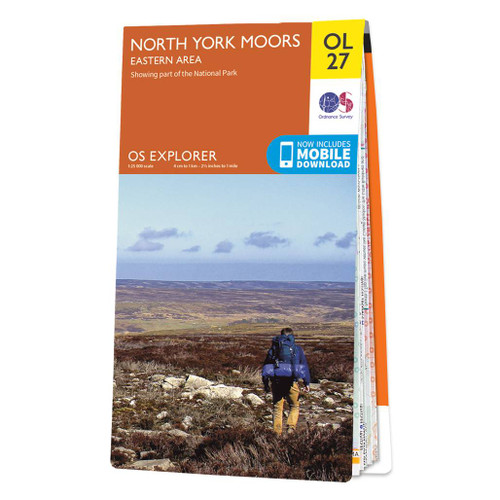
- North York Moors Eastern OS Explorer Map OL27 (paper)
- The eastern part of the North York Moors National Park on a detailed topographic and GPS compatible map OL27, paper version, from the Ordnance Survey’s 1:25,000 Explorer series. Coverage along the coast extends from Scarborough across Robin Hood’s Bay and Whitby to beyond Staithnes, inland to Danby, Rosedale Moor and Hartoft End, and includes... Read more


The Book Depository
United Kingdom
United Kingdom
- Cleveland Way National Trail Official Map
- With Ordnance Survey Mapping Read more
Kaarten

Stanfords
United Kingdom
United Kingdom
- Malton and Pickering 1857-1861
- Map No. 100, Malton and Pickering 1857-1861, in the Cassini Historical Series of old Ordnance Survey mapping of England and Wales at 1:50,000 in a format designed to offer a convenient comparison with the present day coverage from the OS, and most locations in three different editions. Old historical maps have been combined so that the sheet... Read more
Stanfords
United Kingdom
United Kingdom
- Whitby and Esk Dale 1857-1925 (3-map set)
- Map No. 94, Whitby and Esk Dale 1925, in the Cassini Historical Series of old Ordnance Survey mapping of England and Wales at 1:50,000 in a format designed to offer a convenient comparison with the present day coverage from the OS, and most locations in three different editions. Old historical maps have been combined so that the sheet lines... Read more
Stanfords
United Kingdom
United Kingdom
- Malton & Pickering 1924-1925
- Map No. 100, Malton and Pickering 1924-1925, in the Cassini Historical Series of old Ordnance Survey mapping of England and Wales at 1:50,000 in a format designed to offer a convenient comparison with the present day coverage from the OS, and most locations in three different editions.Old historical maps have been combined so that the sheet... Read more
Stanfords
United Kingdom
United Kingdom
- Malton and Pickering 1903-1904
- Map No. 100, Malton and Pickering 1903-1904, in the Cassini Historical Series of old Ordnance Survey mapping of England and Wales at 1:50,000 in a format designed to offer a convenient comparison with the present day coverage from the OS, and most locations in three different editions. Old historical maps have been combined so that the sheet... Read more
Stanfords
United Kingdom
United Kingdom
- Malton and Pickering 1857-1925 (3-map set)
- Map No. 100, Malton and Pickering 1857-1925 (3-map set), in the Cassini Historical Series of old Ordnance Survey mapping of England and Wales at 1:50,000 in a format designed to offer a convenient comparison with the present day coverage from the OS, and most locations in three different editions. Old historical maps have been combined so that... Read more
Stanfords
United Kingdom
United Kingdom
- Whitby and Esk Dale 1857-1861
- Map No. 94, Whitby and Esk Dale 1857-1861, in the Cassini Historical Series of old Ordnance Survey mapping of England and Wales at 1:50,000 in a format designed to offer a convenient comparison with the present day coverage from the OS, and most locations in three different editions. Old historical maps have been combined so that the sheet... Read more
Stanfords
United Kingdom
United Kingdom
- Whitby and Esk Dale 1925
- Map No. 94, Whitby and Esk Dale 1925, in the Cassini Historical Series of old Ordnance Survey mapping of England and Wales at 1:50,000 in a format designed to offer a convenient comparison with the present day coverage from the OS, and most locations in three different editions. Old historical maps have been combined so that the sheet lines... Read more
Stanfords
United Kingdom
United Kingdom
- Whitby and Esk Dale 1903-1904
- Map No. 94, Whitby and Esk Dale 1903-1904, in the Cassini Historical Series of old Ordnance Survey mapping of England and Wales at 1:50,000 in a format designed to offer a convenient comparison with the present day coverage from the OS, and most locations in three different editions. Old historical maps have been combined so that the sheet... Read more
De Zwerver
Netherlands
Netherlands
- Wandelkaart Cleveland Way | Harvey Maps
- Mooie, duidelijke kaart van de Cleveland Way in Noord-Engeland. Geplastificeerd met veel extra informatie en uitsnedes van de route. Leap forward in technical excellence. Tough, light and 100% waterproof Compact and light - the map itself weighs just 60gms - a third of the weight of a laminated map, and much less bulky. And you can fold or... Read more
- Also available from:
- Stanfords, United Kingdom
- The Book Depository, United Kingdom

Stanfords
United Kingdom
United Kingdom
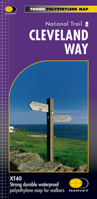
- Cleveland Way Harvey National Trail XT40
- Cleveland Way, established over 40 years ago as Britain’s second National Trail, presented at 1:40,000 on a GPS compatible, light, waterproof and tear-resistant map from Harvey Map Services. The 170km/109 miles route which starts in Helmsley, crosses the North York Moors National Park and sweeps southwards along the coast to Filey, is covered... Read more

The Book Depository
United Kingdom
United Kingdom
- Cleveland Way
- Mooie, duidelijke kaart van de Cleveland Way in Noord-Engeland. Geplastificeerd met veel extra informatie en uitsnedes van de route. Leap forward in technical excellence. Tough, light and 100% waterproof Compact and light - the map itself weighs just 60gms - a third of the weight of a laminated map, and much less bulky. And you can fold or... Read more