
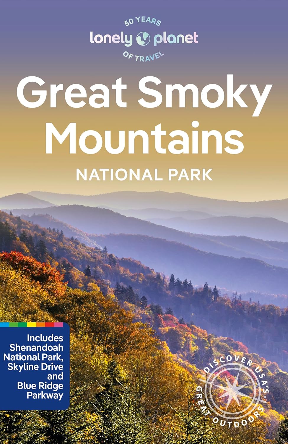
Great Smoky Mountains National Park
Beschrijving
Paden in deze regio
Links
Feiten
Verslagen
Gidsen en kaarten
Overnachting
Organisaties
Reisorganisaties
GPS
Anders
Boeken

De Zwerver
Netherlands
2024
Netherlands
2024

De Zwerver
Netherlands
2018
Netherlands
2018
- Wandelgids USA: Appalachian Trail | Conrad Stein Verlag
- Handzame overzichtsgids van deze geweldige en uitdagende lange afstands wandeling in het oosten van de USA: de Appalachian Trail. Het is een ideale gids om de hele tocht voor te bereiden en als basisgids bij je te hebben. Goede beschrijvingen van etappes en veel praktische informatie. Het enige wat mager is zijn dekaarten: goed voor overzicht... Read more

De Zwerver
Netherlands
Netherlands
- Also available from:
- Bol.com, Belgium
Bol.com
Netherlands
Netherlands
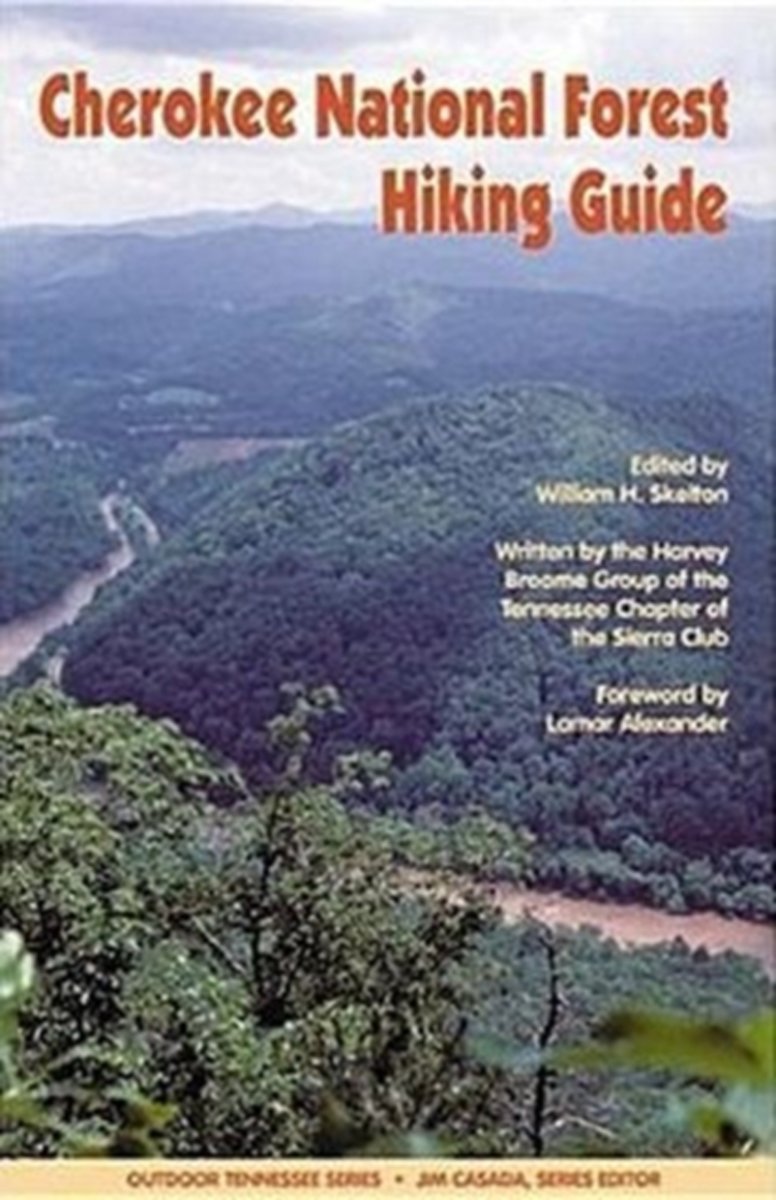
- Cherokee National Forest Hiking Guide
- First published in 1992, Cherokee National Forest Hiking Guide has been a vitalcompanion to thousands who have explored the 640,000-acre Cherokee National Forest. This second edition has been substantially expanded to cover all hiking trails in the forest as of 2003.Stretching across the Tennessee?North Carolina state line, the Cherokee... Read more
- Also available from:
- Bol.com, Belgium
Bol.com
Belgium
Belgium
- Cherokee National Forest Hiking Guide
- First published in 1992, Cherokee National Forest Hiking Guide has been a vitalcompanion to thousands who have explored the 640,000-acre Cherokee National Forest. This second edition has been substantially expanded to cover all hiking trails in the forest as of 2003.Stretching across the Tennessee?North Carolina state line, the Cherokee... Read more
Bol.com
Netherlands
Netherlands
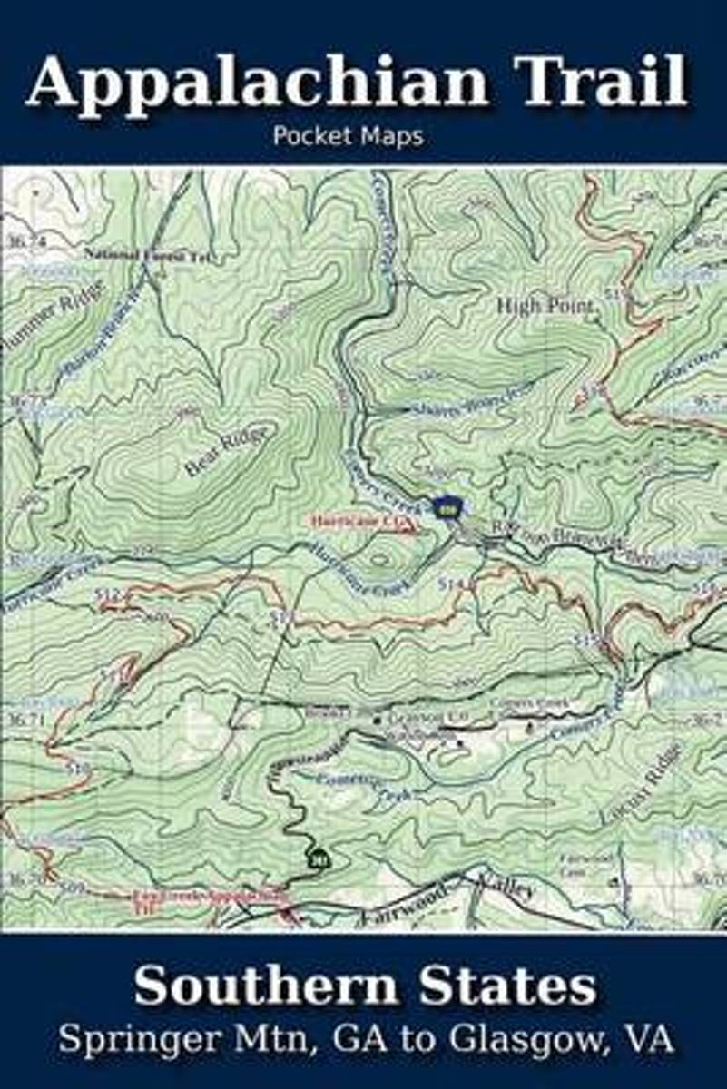
- Appalachian Trail Pocket Maps - Southern States
- Southern States - Springer Mtn, GA to Glasgow, VAOctober 1, 2014The Appalachian Trail Pocket Map Series is a complete and concise set of topographic maps created withdigitized base maps covering every step of the 2,180 mile trail from Georgia to Maine.These next generation maps are not created from 20-50 year old scanned topo maps. They are... Read more
- Also available from:
- Bol.com, Belgium
Bol.com
Belgium
Belgium
- Appalachian Trail Pocket Maps - Southern States
- Southern States - Springer Mtn, GA to Glasgow, VAOctober 1, 2014The Appalachian Trail Pocket Map Series is a complete and concise set of topographic maps created withdigitized base maps covering every step of the 2,180 mile trail from Georgia to Maine.These next generation maps are not created from 20-50 year old scanned topo maps. They are... Read more

Bol.com
Netherlands
Netherlands
- On Trails
- "Winner of the Pacific Northwest Book Award""The best outdoors book of the year"" —Sierra ClubA New York Times BestsellerA Best Book of the Year—as chosen by The Boston Globe, The Seattle Times, Amazon, National Post, New York magazine, The Telegraph, Booklist, The Guardian BookshopFrom a debut talent who's been compared to Annie Dillard,... Read more
- Also available from:
- Bol.com, Belgium
- The Book Depository, United Kingdom
Bol.com
Belgium
Belgium
- On Trails
- "Winner of the Pacific Northwest Book Award""The best outdoors book of the year"" —Sierra ClubA New York Times BestsellerA Best Book of the Year—as chosen by The Boston Globe, The Seattle Times, Amazon, National Post, New York magazine, The Telegraph, Booklist, The Guardian BookshopFrom a debut talent who's been compared to Annie Dillard,... Read more


Bol.com
Netherlands
Netherlands
- Best Easy Day Hiking Guide and Trail Map Bundle: Great Smoky Mountains National Park
- Best Easy Day Hiking Guide and Trail Map Bundle: Great Smoky Mountains National Park combines the expertise of FalconGuides with the incredible maps of National Geographic to give you everything you'll need to explore one of America's best and most popular national parks. Read more
- Also available from:
- Bol.com, Belgium
Bol.com
Belgium
Belgium
- Best Easy Day Hiking Guide and Trail Map Bundle: Great Smoky Mountains National Park
- Best Easy Day Hiking Guide and Trail Map Bundle: Great Smoky Mountains National Park combines the expertise of FalconGuides with the incredible maps of National Geographic to give you everything you'll need to explore one of America's best and most popular national parks. Read more

Bol.com
Netherlands
Netherlands
- A Walk in the Woods
- A wry account by the author of The Life and Times of the Thunderbolt Kid traces an adventurous and arduous trek past the Appalachian Trail's natural pleasures, human eccentrics, and offbeat comforts. Reprint. Read more
- Also available from:
- Bol.com, Belgium
Bol.com
Belgium
Belgium
- A Walk in the Woods
- A wry account by the author of The Life and Times of the Thunderbolt Kid traces an adventurous and arduous trek past the Appalachian Trail's natural pleasures, human eccentrics, and offbeat comforts. Reprint. Read more
Bol.com
Netherlands
Netherlands
- The Appalachian Trail Hiker
- The Appalachian Trail Hiker is a one-stop guide to preparing for and hiking the A.T. Although primarily geared to prepare and sustain the intrepid thru hiker, the book is also a must-have for anyone who wishes to experience the A.T., whether for an hour or for six months. Read more
- Also available from:
- Bol.com, Belgium
Bol.com
Belgium
Belgium
- The Appalachian Trail Hiker
- The Appalachian Trail Hiker is a one-stop guide to preparing for and hiking the A.T. Although primarily geared to prepare and sustain the intrepid thru hiker, the book is also a must-have for anyone who wishes to experience the A.T., whether for an hour or for six months. Read more

Bol.com
Netherlands
Netherlands
- 900 Miles and Then Some
- Some might wonder why anyone in their right mind would want to hike these mountains of trails? It's for the fun of friends being together and enjoying the wonder of nature in the Great Smoky Mountains National Park. Once you experience the sacredness of the park and learn its history it gets in your blood. This experience will be a part of my... Read more
- Also available from:
- Bol.com, Belgium
Bol.com
Belgium
Belgium
- 900 Miles and Then Some
- Some might wonder why anyone in their right mind would want to hike these mountains of trails? It's for the fun of friends being together and enjoying the wonder of nature in the Great Smoky Mountains National Park. Once you experience the sacredness of the park and learn its history it gets in your blood. This experience will be a part of my... Read more
Bol.com
Netherlands
Netherlands
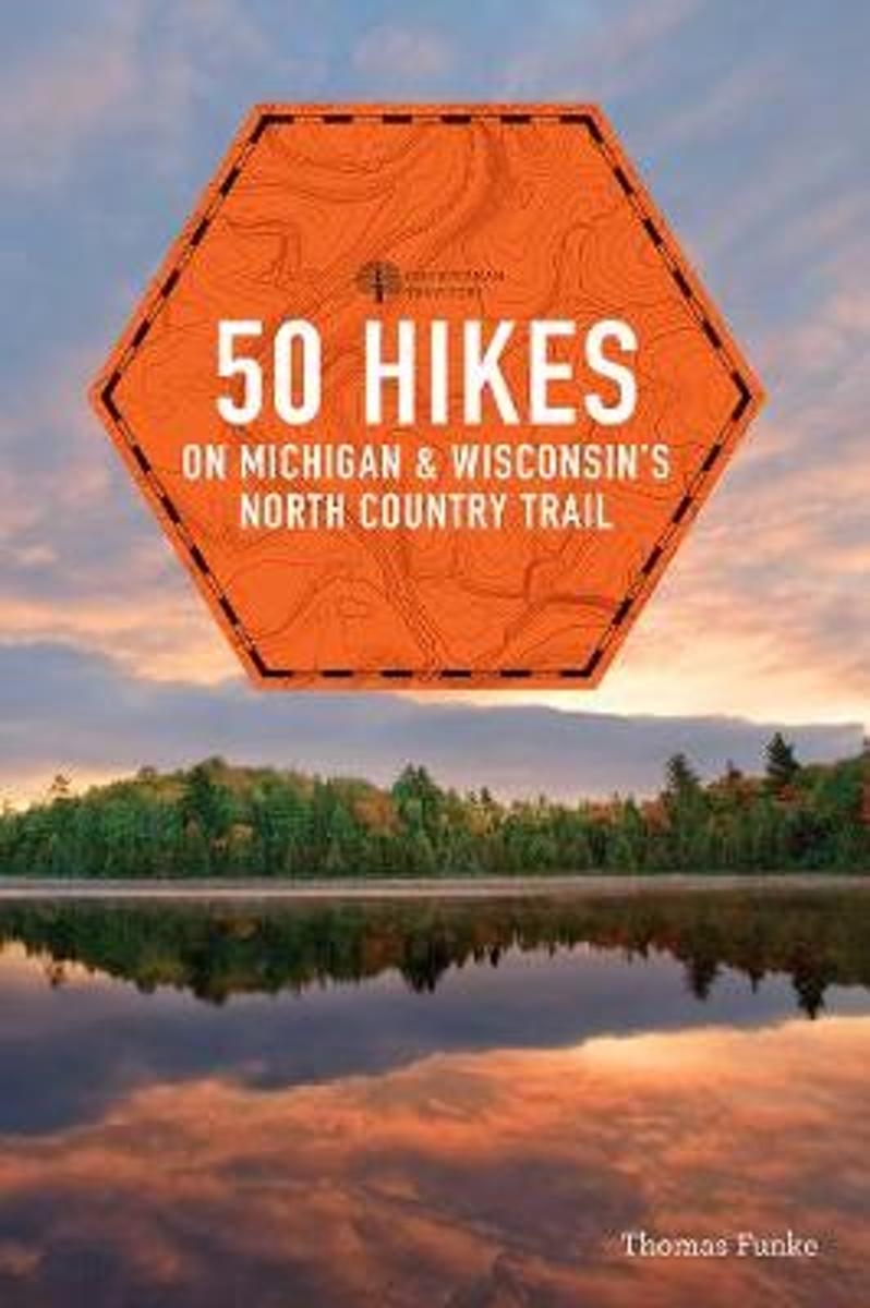
- 50 Hikes on Michigan & Wisconsin's North Country Trail
- In the same class as the Appalachian Trail, the North Country National Scenic Trail is over twice as long as its older cousin. 50 Hikes on Michigan & Wisconsin's North Country Trail is a guidebook for both the day hiker and the long-distance backpacker. With full-color maps and elevation profiles, it covers the certified trail on the ground as... Read more
- Also available from:
- Bol.com, Belgium
Bol.com
Belgium
Belgium
- 50 Hikes on Michigan & Wisconsin's North Country Trail
- In the same class as the Appalachian Trail, the North Country National Scenic Trail is over twice as long as its older cousin. 50 Hikes on Michigan & Wisconsin's North Country Trail is a guidebook for both the day hiker and the long-distance backpacker. With full-color maps and elevation profiles, it covers the certified trail on the ground as... Read more
Bol.com
Netherlands
Netherlands
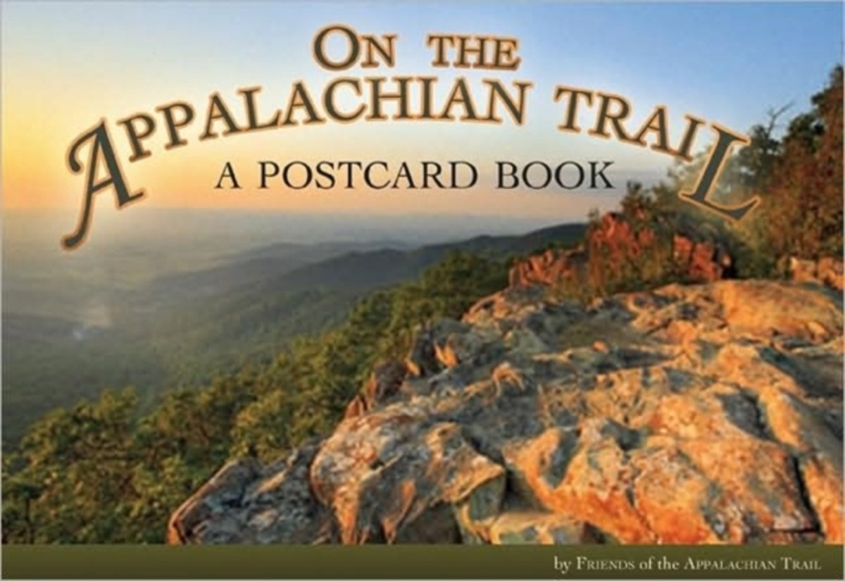
- On the Appalachian Trail
- Few areas of American wilderness are more impressive than the Appalachian Trail, with its extraordinary scenery stretching nearly 2,200 miles and covering 250,000 acres from Maine to Georgia. Maintenance of the trail depends in part on more than 6,000 volunteers who devote considerable time, energy, and personal resources to the task. These... Read more
- Also available from:
- Bol.com, Belgium
Bol.com
Belgium
Belgium
- On the Appalachian Trail
- Few areas of American wilderness are more impressive than the Appalachian Trail, with its extraordinary scenery stretching nearly 2,200 miles and covering 250,000 acres from Maine to Georgia. Maintenance of the trail depends in part on more than 6,000 volunteers who devote considerable time, energy, and personal resources to the task. These... Read more

Bol.com
Netherlands
Netherlands
- Hike/Bike America
- This social study illuminates 100 years of family history in Western Zimbabwe from the colonial period to the present day. It follows several generations of the Kalanaga family through the post-colonial heritage of guerrilla wars, large-scale eviction and resettlement, and near starvation. Read more
- Also available from:
- Bol.com, Belgium
Bol.com
Belgium
Belgium
- Hike/Bike America
- This social study illuminates 100 years of family history in Western Zimbabwe from the colonial period to the present day. It follows several generations of the Kalanaga family through the post-colonial heritage of guerrilla wars, large-scale eviction and resettlement, and near starvation. Read more
Kaarten
De Zwerver
Netherlands
2019
Netherlands
2019
De Zwerver
Netherlands
Netherlands
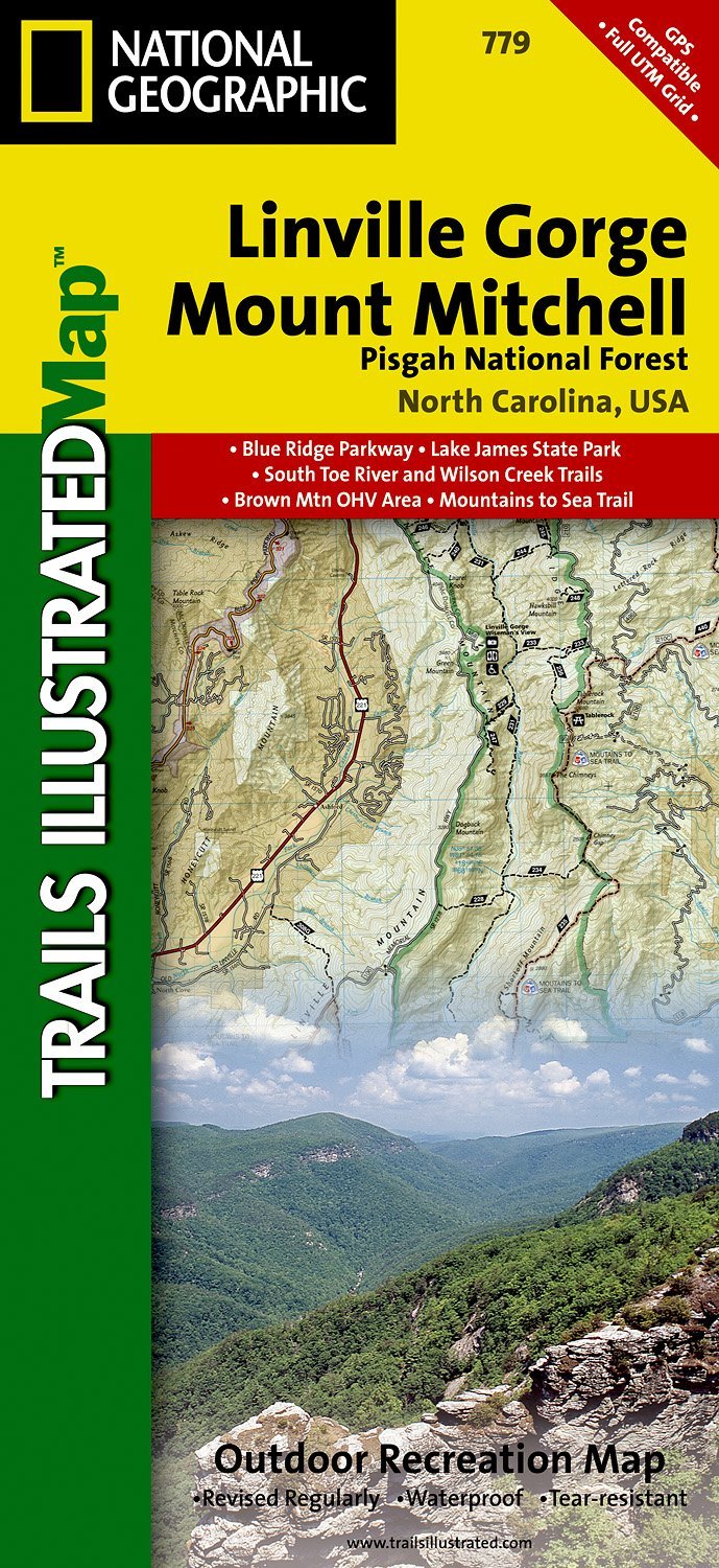
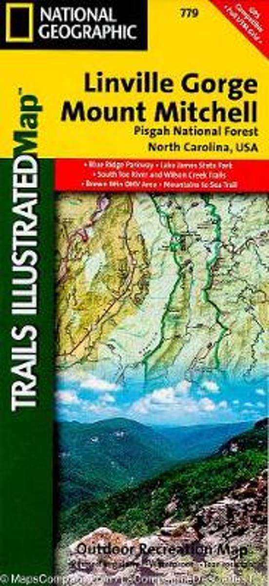
- Wandelkaart - Topografische kaart 779 Linville Gorge - Mount Mitchell - Pisgah National Forest | National Geographic
- Prachtige geplastificeerde kaart van het bekende nationaal park. Met alle recreatieve voorzieningen als campsites, maar ook met topografische details en wandelroutes ed. Door uitgekiend kleurgebruik zeer prettig in gebruik. Scheur en watervast! Coverage includes Pisgah National Forest, Grandfather Ranger District (complete) and Appalachian... Read more
- Also available from:
- Bol.com, Netherlands
- Bol.com, Belgium
- Stanfords, United Kingdom
- The Book Depository, United Kingdom
Bol.com
Netherlands
Netherlands
- Linville Gorge/mount Mitchell, Pisgah National Forest
- Waterproof Tear-Resistant Topographic MapExpertly researched and created in partnership with local land management agencies, National Geographic's Trails Illustrated map of Linville Gorge and Mount Mitchell provides an unparalleled tool for exploring these remarkable features within Pisgah National Forest. This map includes such key areas... Read more
Bol.com
Belgium
Belgium
- Linville Gorge/mount Mitchell, Pisgah National Forest
- Waterproof Tear-Resistant Topographic MapExpertly researched and created in partnership with local land management agencies, National Geographic's Trails Illustrated map of Linville Gorge and Mount Mitchell provides an unparalleled tool for exploring these remarkable features within Pisgah National Forest. This map includes such key areas... Read more

Stanfords
United Kingdom
United Kingdom
- Pisgah National Forest - Linville Gorge - Mt. Mitchell NC
- Map No. 779, Pisgah National Forest: Linville Gorge - Mt. Mitchell, NC, in an extensive series of GPS compatible, contoured hiking maps of USA’s national and state parks or forests and other popular recreational areas. Cartography based on the national topographic survey, with additional tourist information.The maps, with most titles now... Read more

The Book Depository
United Kingdom
United Kingdom
- Linville Gorge/mount Mitchell, Pisgah National Forest
- Trails Illustrated Other Rec. Areas Read more

De Zwerver
Netherlands
Netherlands
- Wandelkaart - Topografische kaart 747 Green Mountain National Forest North - Moosalamoo NRA - Rutland | National Geographic
- Prachtige geplastificeerde kaart van het bekende nationaal park. Met alle recreatieve voorzieningen als campsites, maar ook met topografische details en wandelroutes ed. Door uitgekiend kleurgebruik zeer prettig in gebruik. Scheur en watervast! National Geographic's Green Mountain National Forest North Trails Illustrated topographic map is... Read more
- Also available from:
- Bol.com, Netherlands
- Bol.com, Belgium
- Stanfords, United Kingdom
- The Book Depository, United Kingdom

Bol.com
Netherlands
Netherlands
- Green Mountains N.F., Moosalamoo NRA/Rutland
- Waterproof Tear-Resistant Topographic MapNational Geographic's Green Mountain National Forest North Trails Illustrated topographic map is the most comprehensive available for outdoor enthusiasts of all types. Designed to be easy-to-read, yet highly detailed this map includes a comprehensive road and trail network distinguishing between... Read more
Bol.com
Belgium
Belgium
- Green Mountains N.F., Moosalamoo NRA/Rutland
- Waterproof Tear-Resistant Topographic MapNational Geographic's Green Mountain National Forest North Trails Illustrated topographic map is the most comprehensive available for outdoor enthusiasts of all types. Designed to be easy-to-read, yet highly detailed this map includes a comprehensive road and trail network distinguishing between... Read more

Stanfords
United Kingdom
United Kingdom
- Green Mountain National Forest - Moosalamoo NRA - Rutland VT
- Map No. 747, Green Mountain National Forest: Moosalamoo NRA - Rutland area in Vermont, in an extensive series of GPS compatible, contoured hiking maps of USA’s national and state parks or forests and other popular recreational areas. Cartography based on the national topographic survey, with additional tourist information.The maps, with most... Read more

The Book Depository
United Kingdom
United Kingdom
- Green Mountains N.f., Moosalamoo Nra/rutland
- Trails Illustrated Other Rec. Areas Read more
De Zwerver
Netherlands
Netherlands
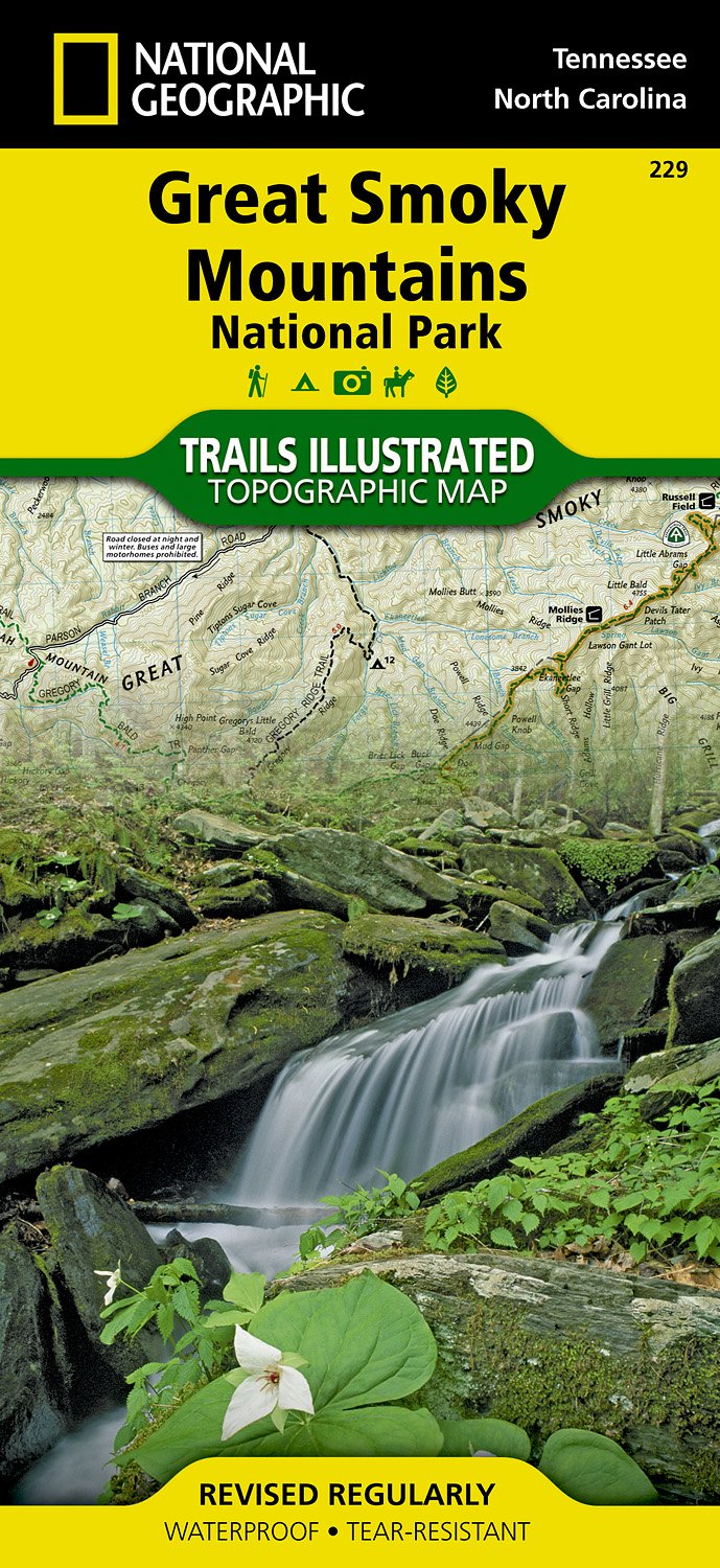
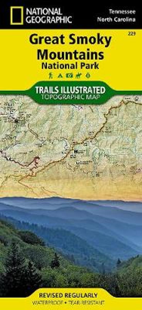
- Wandelkaart 229 Great Smoky Mountains National Park | National Geographic
- Prachtige geplastificeerde kaart van het bekende nationaal park. Met alle recreatieve voorzieningen als campsites, maar ook met topografische details en wandelroutes ed. Door uitgekiend kleurgebruik zeer prettig in gebruik. Scheur en watervast! Map No. 229, Great Smoky Mountains National Park, TN, in an extensive series of GPS compatible,... Read more
- Also available from:
- Bol.com, Netherlands
- Bol.com, Belgium
- Stanfords, United Kingdom
Bol.com
Netherlands
Netherlands
- Great Smoky Mountains National Park
- Waterproof Tear-Resistant Topographic MapAmerica's most visited national park and a UNESCO World Heritage Site, Great Smoky Mountains National Park is both renowned for its diversity of plant and animal life and rich in remnants of Southern Appalachian mountain culture. National Geographic's Trails Illustrated map of the park combines... Read more
Bol.com
Belgium
Belgium
- Great Smoky Mountains National Park
- Waterproof Tear-Resistant Topographic MapAmerica's most visited national park and a UNESCO World Heritage Site, Great Smoky Mountains National Park is both renowned for its diversity of plant and animal life and rich in remnants of Southern Appalachian mountain culture. National Geographic's Trails Illustrated map of the park combines... Read more

Stanfords
United Kingdom
United Kingdom
- Great Smoky Mountains National Park TN NGS Trails Illustrated Map 229
- Map No. 229, Great Smoky Mountains National Park, TN, in an extensive series of GPS compatible, contoured hiking maps of USA’s national and state parks or forests and other popular recreational areas. Cartography based on the national topographic survey, with additional tourist information.The maps, with most titles now printed on light,... Read more

De Zwerver
Netherlands
Netherlands
- Wandelkaart - Topografische kaart 316 Cades Cove - Elkmont - Great Smoky Mountains National Park | National Geographic
- Prachtige geplastificeerde kaart van het bekende nationaal park. Met alle recreatieve voorzieningen als campsites, maar ook met topografische details en wandelroutes ed. Door uitgekiend kleurgebruik zeer prettig in gebruik. Scheur en watervast! This title provides an increased scale of one of the most visited National Parks in the US, and one... Read more
- Also available from:
- Bol.com, Netherlands
- Bol.com, Belgium
- Stanfords, United Kingdom

Bol.com
Netherlands
Netherlands
- Cades Cove/elkmont, Great Smoky Mountains National Park
- Waterproof Tear-Resistant Topographic MapThis title provides an increased scale of one of the most visited National Parks in the US, and one of our more popular map titles. This increased scale will provide greater detail to the backcountry users and Appalachian Trail through-hikers.Park Introduction:Great Smoky Mountains National Park is... Read more
Bol.com
Belgium
Belgium
- Cades Cove/elkmont, Great Smoky Mountains National Park
- Waterproof Tear-Resistant Topographic MapThis title provides an increased scale of one of the most visited National Parks in the US, and one of our more popular map titles. This increased scale will provide greater detail to the backcountry users and Appalachian Trail through-hikers.Park Introduction:Great Smoky Mountains National Park is... Read more

Stanfords
United Kingdom
United Kingdom
- Cades Cove - Elkmont - Great Smoky Mountains National Park NC/TN
- Map No. 316, Great Smoky Mountains National Park: Cades Cove - Elkmont, NC/TN, in an extensive series of GPS compatible, contoured hiking maps of USA’s national and state parks or forests and other popular recreational areas. Cartography based on the national topographic survey, with additional tourist information.The maps, with most titles now... Read more

Bol.com
Netherlands
Netherlands
- Springer & Cohutta Mountains, Chattahoochee National Forest
- Waterproof Tear-Resistant Topographic MapLocated just north of Atlanta, the Chattahoochee National Forest contains the southern terminus of the Appalachian Trail along with an abundance of recreational opportunities for outdoor enthusiasts of all interests.This detailed recreation map contains carefully researched trails, campsites,... Read more
- Also available from:
- Bol.com, Belgium
- Stanfords, United Kingdom
Bol.com
Belgium
Belgium
- Springer & Cohutta Mountains, Chattahoochee National Forest
- Waterproof Tear-Resistant Topographic MapLocated just north of Atlanta, the Chattahoochee National Forest contains the southern terminus of the Appalachian Trail along with an abundance of recreational opportunities for outdoor enthusiasts of all interests.This detailed recreation map contains carefully researched trails, campsites,... Read more

Stanfords
United Kingdom
United Kingdom
- Chattahoochee National Forest - Springer and Cohutta Mountains GA/SC 777
- Map No. 777, Chattahoochee National Forest: Springer and Cohutta Mountains, GA/SC, in an extensive series of GPS compatible, contoured hiking maps of USA’s national and state parks or forests and other popular recreational areas. Cartography based on the national topographic survey, with additional tourist information.The maps, with most titles... Read more

De Zwerver
Netherlands
Netherlands
- Wandelkaart - Topografische kaart 318 Mount Rogers High Country - Grayson Highlands State Park | National Geographic
- Prachtige geplastificeerde kaart van het bekende nationaal park. Met alle recreatieve voorzieningen als campsites, maar ook met topografische details en wandelroutes ed. Door uitgekiend kleurgebruik zeer prettig in gebruik. Scheur en watervast! National Geographic's Trails Illustrated map of Mount Rogers High Country and Grayson Highlands... Read more
- Also available from:
- Bol.com, Netherlands
- Bol.com, Belgium
- Stanfords, United Kingdom
- The Book Depository, United Kingdom

Bol.com
Netherlands
Netherlands
- Mount Rogers High Country
- Waterproof Tear-Resistant Topographic MapNational Geographic's Trails Illustrated map of Mount Rogers High Country and Grayson Highlands State Park, Southwest Virginia, is a two-sided, waterproof, topographic trail map designed to meet the needs of outdoor enthusiasts with unmatched durability and detail. This map was created in... Read more
Bol.com
Belgium
Belgium
- Mount Rogers High Country
- Waterproof Tear-Resistant Topographic MapNational Geographic's Trails Illustrated map of Mount Rogers High Country and Grayson Highlands State Park, Southwest Virginia, is a two-sided, waterproof, topographic trail map designed to meet the needs of outdoor enthusiasts with unmatched durability and detail. This map was created in... Read more

Stanfords
United Kingdom
United Kingdom
- Mount Rogers High Country VA
- Map No. 318 - Mount Rogers High Country in Virginia in an extensive series of GPS compatible, contoured hiking maps of USA’s national and state parks or forests and other popular recreational areas. Cartography based on the national topographic survey, with additional tourist information.The maps, with most titles now printed on light,... Read more

The Book Depository
United Kingdom
United Kingdom
- Mount Rogers High Country
- Trails Illustrated Other Rec. Areas Read more
De Zwerver
Netherlands
Netherlands
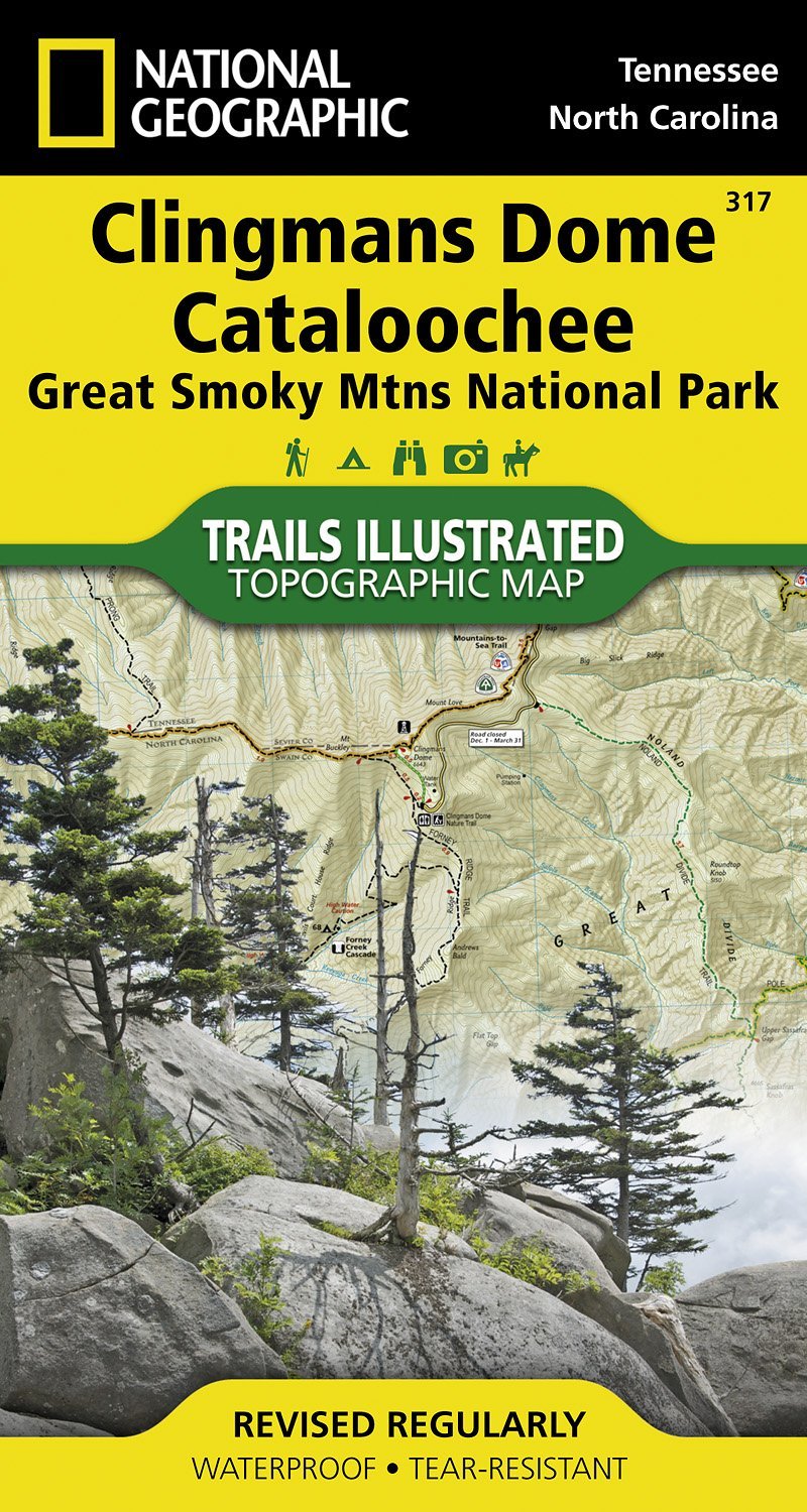
- Wandelkaart - Topografische kaart 317 Clingmans Dome Cataloochee - Great Smoky Mountains National Park | National Geographic
- Prachtige geplastificeerde kaart van het bekende nationaal park. Met alle recreatieve voorzieningen als campsites, maar ook met topografische details en wandelroutes ed. Door uitgekiend kleurgebruik zeer prettig in gebruik. Scheur en watervast! This title provides an increased scale of one of the most visited National Parks in the US, and one... Read more
- Also available from:
- Stanfords, United Kingdom
- The Book Depository, United Kingdom

Stanfords
United Kingdom
United Kingdom
- Clingman`s Dome - Catalooche - Great Smoky Mountains National Park NC/TN
- Map No. 317, Great Smoky Mountains National Park: Clingman`s Dome - Catalooche, NC/TN, in an extensive series of GPS compatible, contoured hiking maps of USA’s national and state parks or forests and other popular recreational areas. Cartography based on the national topographic survey, with additional tourist information.The maps, with most... Read more

The Book Depository
United Kingdom
United Kingdom
- Clingman's Dome/cataloochee, Great Smoky Mountains National Park
- Trails Illustrated National Parks Read more