
Pisgah National Forest
Beschrijving
Paden in deze regio
Links
Feiten
Verslagen
Gidsen en kaarten
Overnachting
Organisaties
Reisorganisaties
GPS
Anders
Boeken


De Zwerver
Netherlands
Netherlands

De Zwerver
Netherlands
2018
Netherlands
2018
- Wandelgids USA: Appalachian Trail | Conrad Stein Verlag
- Handzame overzichtsgids van deze geweldige en uitdagende lange afstands wandeling in het oosten van de USA: de Appalachian Trail. Het is een ideale gids om de hele tocht voor te bereiden en als basisgids bij je te hebben. Goede beschrijvingen van etappes en veel praktische informatie. Het enige wat mager is zijn dekaarten: goed voor overzicht... Read more

Bol.com
Netherlands
Netherlands
- Appalachian Trials
- "I really loved it...Appalachian Trials is full of specific tactical tips for mental preparation, which is key well beyond the AT." - Tim Ferriss, author of New York Times Best Selling The 4-Hour Workweek and The 4-Hour Body Each year, it is estimated that more than 2,000 people set out to thru-hike the Appalachian Trail, yet seven in ten... Read more
- Also available from:
- Bol.com, Belgium
- The Book Depository, United Kingdom
Bol.com
Belgium
Belgium
- Appalachian Trials
- "I really loved it...Appalachian Trials is full of specific tactical tips for mental preparation, which is key well beyond the AT." - Tim Ferriss, author of New York Times Best Selling The 4-Hour Workweek and The 4-Hour Body Each year, it is estimated that more than 2,000 people set out to thru-hike the Appalachian Trail, yet seven in ten... Read more

The Book Depository
United Kingdom
United Kingdom
- Appalachian Trials
- A Psychological and Emotional Guide To Thru-Hike the Appalachian Trail Read more
Bol.com
Netherlands
Netherlands
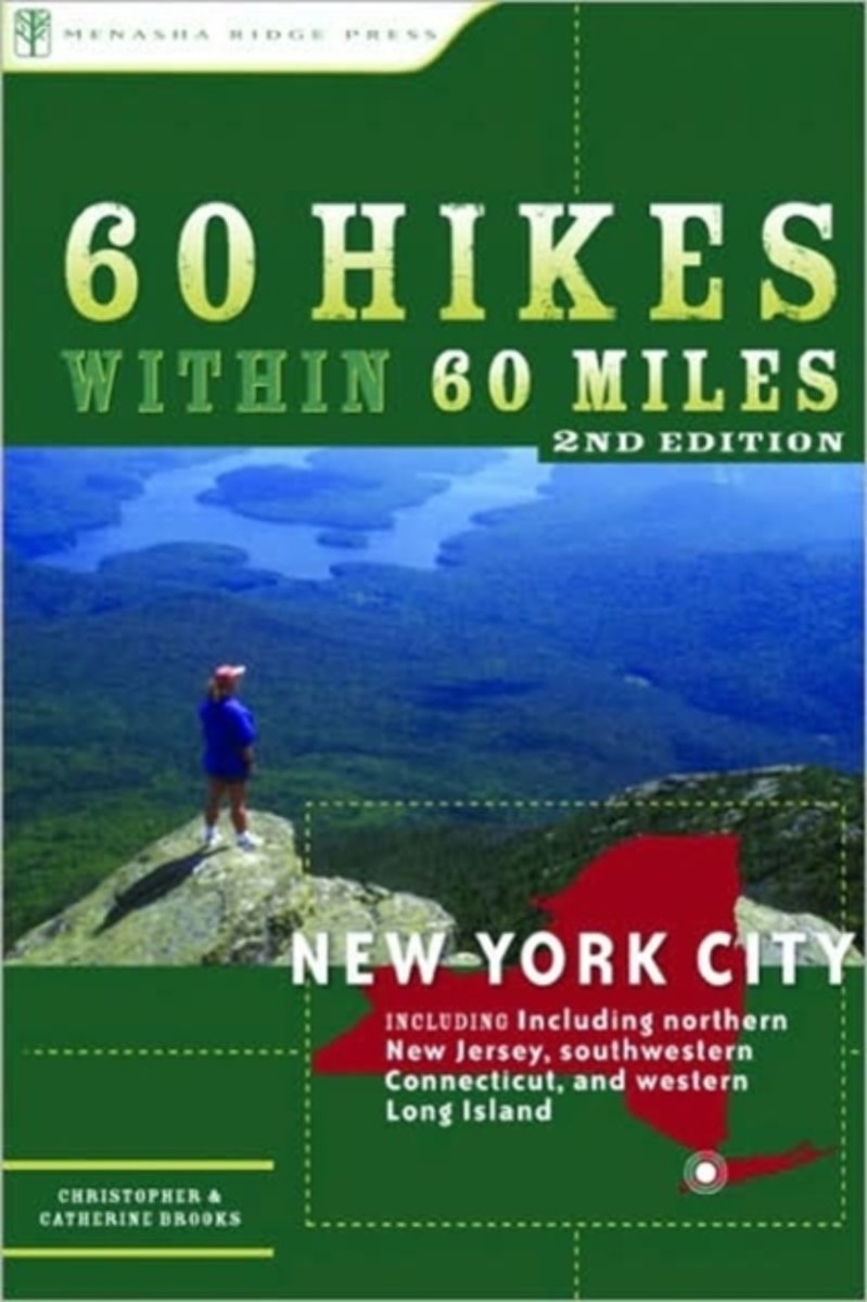
- 60 Hikes Within 60 Miles
- With so many superb trails in the New York City area, planning a hike can be a frustrating endeavor. Which one for an all-day outing? Where can I take my dog? Which are suitable for young children? 60 Hikes Within 60 Miles: New York City answers those questions with an array of classic trails and little-known gems, while guiding the reader... Read more
- Also available from:
- Bol.com, Belgium
Bol.com
Belgium
Belgium
- 60 Hikes Within 60 Miles
- With so many superb trails in the New York City area, planning a hike can be a frustrating endeavor. Which one for an all-day outing? Where can I take my dog? Which are suitable for young children? 60 Hikes Within 60 Miles: New York City answers those questions with an array of classic trails and little-known gems, while guiding the reader... Read more
Bol.com
Netherlands
Netherlands
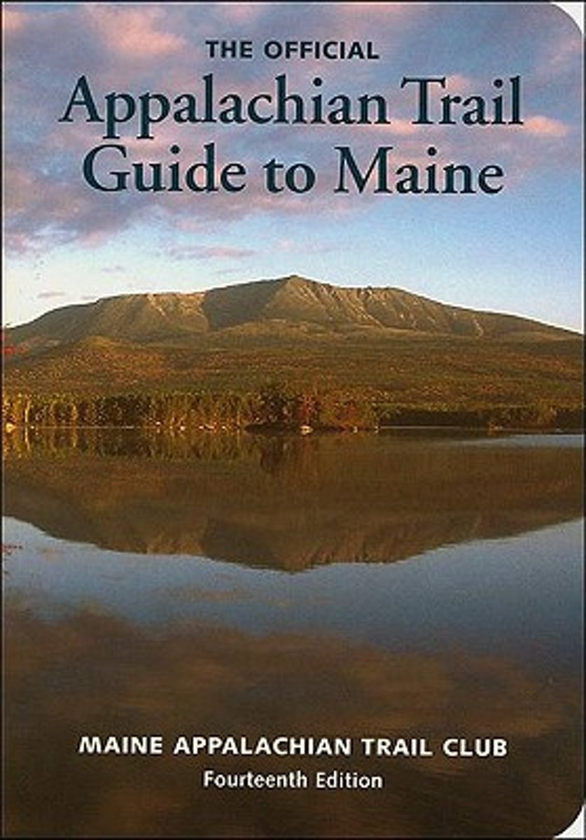
- Appalachian Trail Guide to Maine
- This is the official guide to the 281 miles of the Appalachian Trail in Maine, from the summit of Mt. Katahdin in Baxter State Park south and west to the New Hampshire border. This trail guide is a planning guide with rich historical background on the lands. The seven, four-color, topographic maps-at 1:62,500 scale with modified shaded... Read more
- Also available from:
- Bol.com, Belgium
Bol.com
Belgium
Belgium
- Appalachian Trail Guide to Maine
- This is the official guide to the 281 miles of the Appalachian Trail in Maine, from the summit of Mt. Katahdin in Baxter State Park south and west to the New Hampshire border. This trail guide is a planning guide with rich historical background on the lands. The seven, four-color, topographic maps-at 1:62,500 scale with modified shaded... Read more
Bol.com
Netherlands
Netherlands
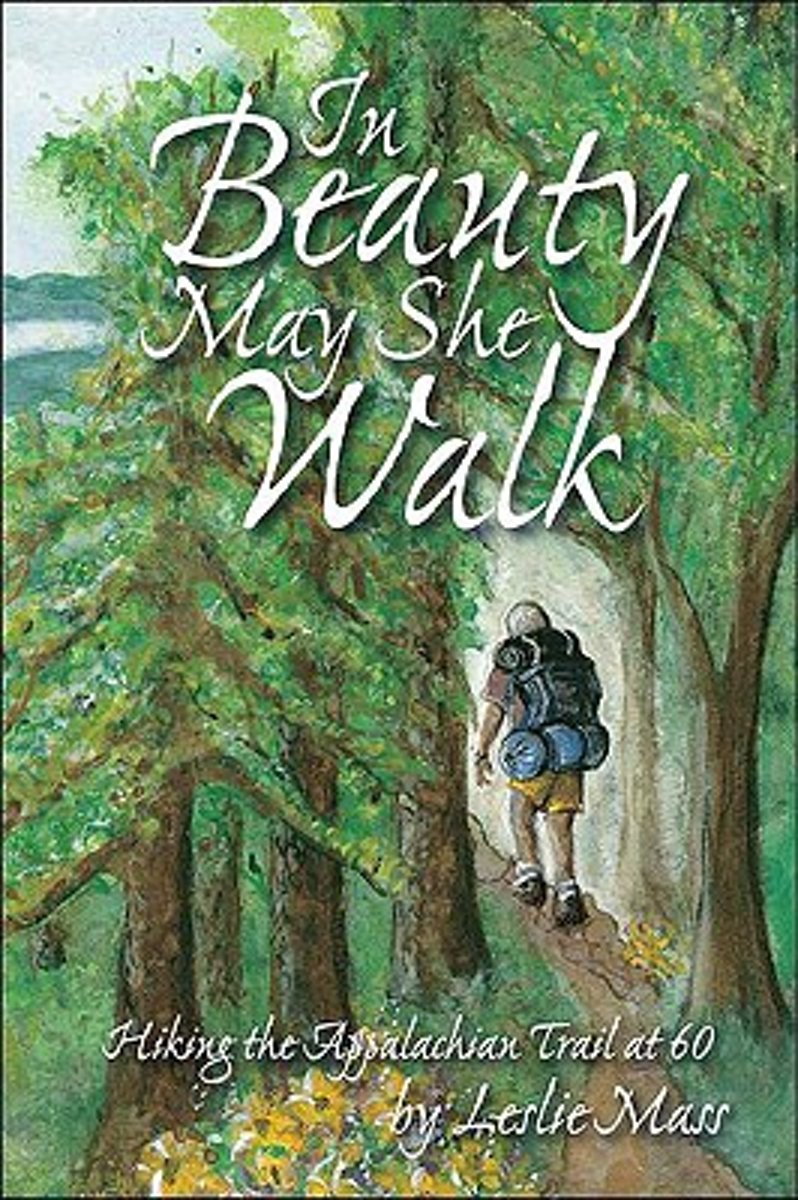
- In Beauty May She Walk
- In 2000, inspired by her father, Leslie Mass decided she would turn a lifelong fantasy into reality.At the age of 59, she began to train for a grueling journey, a thru-hike of the 2,000-mile Appalachian Trail. [i]In Beauty May She Walk[/i] chronicles Leslie's struggles and triumphs during her hike. On the trail, Leslie struggles with how to... Read more
- Also available from:
- Bol.com, Belgium
Bol.com
Belgium
Belgium
- In Beauty May She Walk
- In 2000, inspired by her father, Leslie Mass decided she would turn a lifelong fantasy into reality.At the age of 59, she began to train for a grueling journey, a thru-hike of the 2,000-mile Appalachian Trail. [i]In Beauty May She Walk[/i] chronicles Leslie's struggles and triumphs during her hike. On the trail, Leslie struggles with how to... Read more
Bol.com
Netherlands
Netherlands
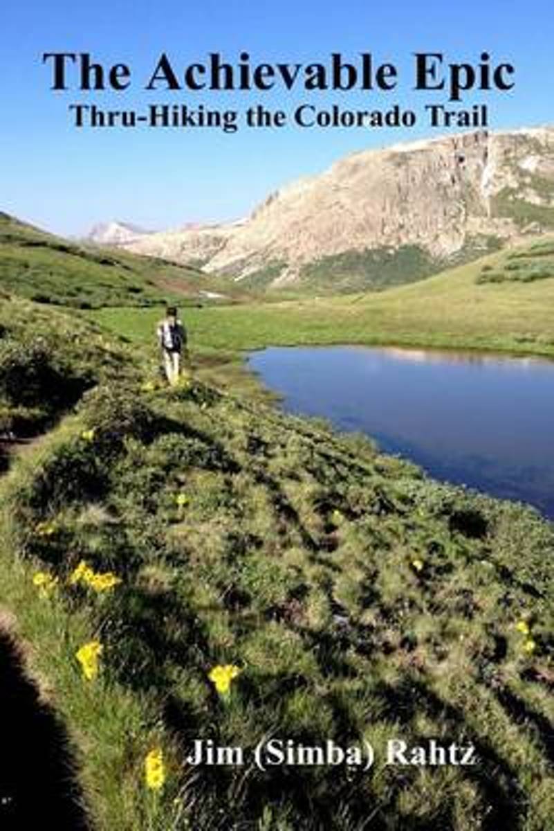
- The Achievable Epic
- Multiple Award Winner: 2015 Outdoor Writers of Ohio "Outstanding Media Achievement and Best Series of Photos."Inside many of us, there is a need, often suppressed, to accomplish something epic. For those that backpack, the dream is likely a thru-hike of the Appalachian Trail. Unfortunately, the reality is that spending six months on a hike is... Read more
- Also available from:
- Bol.com, Belgium
- The Book Depository, United Kingdom
Bol.com
Belgium
Belgium
- The Achievable Epic
- Multiple Award Winner: 2015 Outdoor Writers of Ohio "Outstanding Media Achievement and Best Series of Photos."Inside many of us, there is a need, often suppressed, to accomplish something epic. For those that backpack, the dream is likely a thru-hike of the Appalachian Trail. Unfortunately, the reality is that spending six months on a hike is... Read more

Bol.com
Netherlands
Netherlands
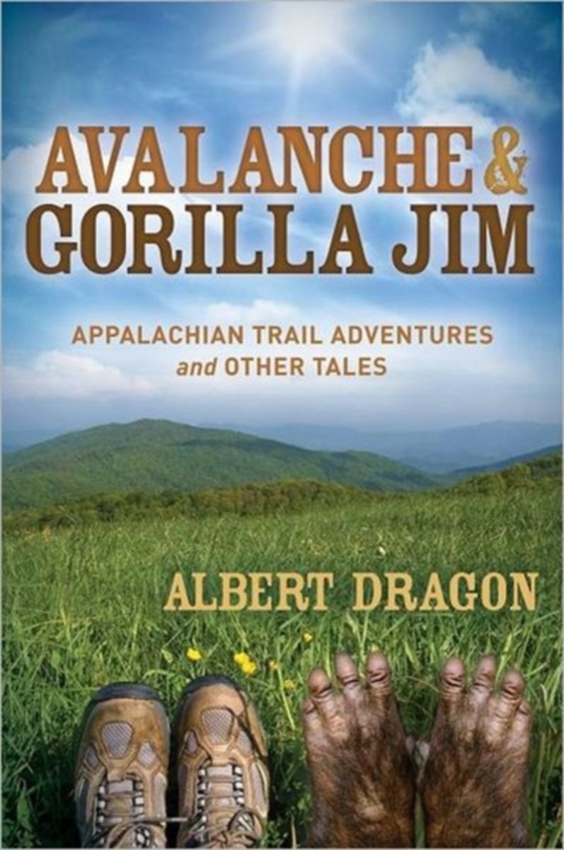
- Avalanche & Gorilla Jim
- This humorously different adventure makes you laugh, feel good, gives you some thrills and allows you to actually experience hiking the famous Appalachian Trail. A true picture of hiking over 1300 miles of fun-filled, gut wrenching, awe-inspiring mountainous trail. Stocked with the humor of two guys on a long trek over grueling terrain.The days... Read more
- Also available from:
- Bol.com, Belgium
Bol.com
Belgium
Belgium
- Avalanche & Gorilla Jim
- This humorously different adventure makes you laugh, feel good, gives you some thrills and allows you to actually experience hiking the famous Appalachian Trail. A true picture of hiking over 1300 miles of fun-filled, gut wrenching, awe-inspiring mountainous trail. Stocked with the humor of two guys on a long trek over grueling terrain.The days... Read more
- Also available from:
- Bol.com, Belgium

Bol.com
Netherlands
Netherlands
- Remember the Carrot
- After realizing that his life had lost its savor, Aaron dares to season it with adventure on the Appalachian Trail, where serendipity and toil would weave a path of self-discovery, a change of world view, and delightful (and some odd) characters and turns of events.Step into Aaron's boots for 2,167 miles of peaks and valleys-physically,... Read more
- Also available from:
- Bol.com, Belgium
- The Book Depository, United Kingdom
Bol.com
Belgium
Belgium
- Remember the Carrot
- After realizing that his life had lost its savor, Aaron dares to season it with adventure on the Appalachian Trail, where serendipity and toil would weave a path of self-discovery, a change of world view, and delightful (and some odd) characters and turns of events.Step into Aaron's boots for 2,167 miles of peaks and valleys-physically,... Read more

The Book Depository
United Kingdom
United Kingdom
- Remember The Carrot
- A Change Of Pace On The Appalachian Trail Read more
Bol.com
Netherlands
Netherlands
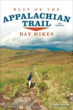
- Best of the Appalachian Trail
- A concise guide to the best day hikes along the entire Appalachian Trail.Summit the iconic Katahdin in Maine, explore Pennsylvania's Chimney Rocks, splash in Tennessee's Laurel Fork Gorge and Falls, and find out where Blood Mountain got its name in the new edition of Best of the Appalachian Trail: Day Hikes by Victoria and Frank Logue and ... Read more
- Also available from:
- Bol.com, Belgium
Bol.com
Belgium
Belgium
- Best of the Appalachian Trail
- A concise guide to the best day hikes along the entire Appalachian Trail.Summit the iconic Katahdin in Maine, explore Pennsylvania's Chimney Rocks, splash in Tennessee's Laurel Fork Gorge and Falls, and find out where Blood Mountain got its name in the new edition of Best of the Appalachian Trail: Day Hikes by Victoria and Frank Logue and ... Read more
De Zwerver
Netherlands
Netherlands
- Also available from:
- Bol.com, Netherlands
- Bol.com, Belgium
Bol.com
Netherlands
Netherlands
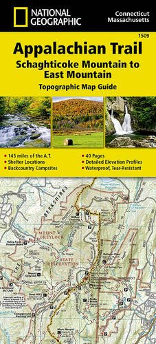
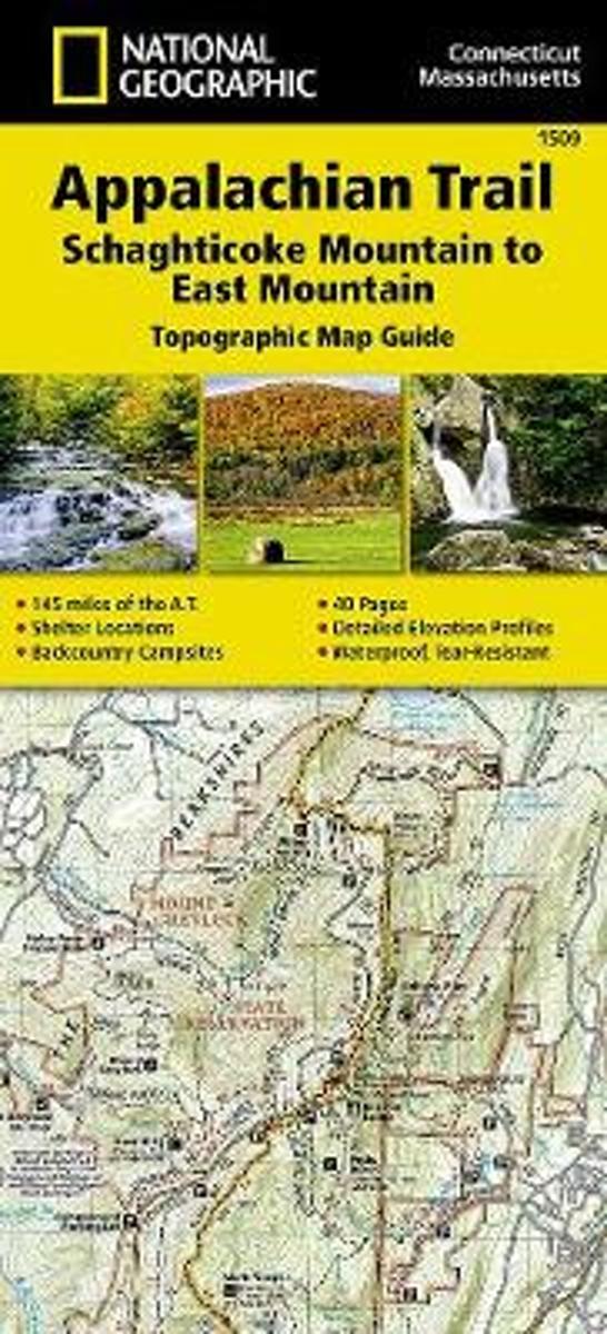
- Appalachian Trail, Schaghticoke Mountain To East Mountain, Connecticut, Massachusetts
- Waterproof Tear-Resistant Topographic Map GuideThe Schaghticoke Mountain to East MountainTopographic Map Guide makes a perfect traveling companion when traversing the Connecticut and Massachusetts sections of the Appalachian Trail (A.T.). The trail in this section of New England skirts the northwest corner of Connecticut and traverses... Read more
Bol.com
Belgium
Belgium
- Appalachian Trail, Schaghticoke Mountain To East Mountain, Connecticut, Massachusetts
- Waterproof Tear-Resistant Topographic Map GuideThe Schaghticoke Mountain to East MountainTopographic Map Guide makes a perfect traveling companion when traversing the Connecticut and Massachusetts sections of the Appalachian Trail (A.T.). The trail in this section of New England skirts the northwest corner of Connecticut and traverses... Read more
Bol.com
Netherlands
Netherlands
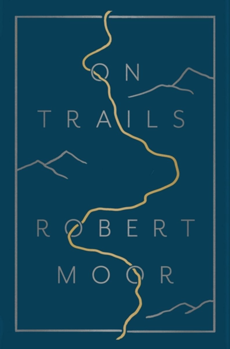
- On Trails
- A strikingly original debut from a tremendous new talent, Robert Moor explores how trails help us understand the world, from the biological phenomenon of how ant trails are formed to hiking paths that span continents and oceans, from migration routes to the Internet.In 2009, while thru-hiking the Appalachian Trail, Robert Moor began to wonder... Read more
- Also available from:
- Bol.com, Belgium
Bol.com
Belgium
Belgium
- On Trails
- A strikingly original debut from a tremendous new talent, Robert Moor explores how trails help us understand the world, from the biological phenomenon of how ant trails are formed to hiking paths that span continents and oceans, from migration routes to the Internet.In 2009, while thru-hiking the Appalachian Trail, Robert Moor began to wonder... Read more

Bol.com
Netherlands
Netherlands
- Leaving the Straight Path
- Back home after teaching in Orleans Parish a year after Katrina, a former biologist decides to hike the southern half of the Appalachian Trail. His journey takes him up steep, stony mountain pathways accompanied by the energetic tat-tat-tat of woodpeckers, onto high cliffs with grand, panoramic vistas and through tunnels of rhododendrons... Read more
- Also available from:
- Bol.com, Belgium
Bol.com
Belgium
Belgium
- Leaving the Straight Path
- Back home after teaching in Orleans Parish a year after Katrina, a former biologist decides to hike the southern half of the Appalachian Trail. His journey takes him up steep, stony mountain pathways accompanied by the energetic tat-tat-tat of woodpeckers, onto high cliffs with grand, panoramic vistas and through tunnels of rhododendrons... Read more
Kaarten

De Zwerver
Netherlands
Netherlands
- Wandelkaart - Topografische kaart 316 Cades Cove - Elkmont - Great Smoky Mountains National Park | National Geographic
- Prachtige geplastificeerde kaart van het bekende nationaal park. Met alle recreatieve voorzieningen als campsites, maar ook met topografische details en wandelroutes ed. Door uitgekiend kleurgebruik zeer prettig in gebruik. Scheur en watervast! This title provides an increased scale of one of the most visited National Parks in the US, and one... Read more
- Also available from:
- Bol.com, Netherlands
- Bol.com, Belgium
- Stanfords, United Kingdom

Bol.com
Netherlands
Netherlands
- Cades Cove/elkmont, Great Smoky Mountains National Park
- Waterproof Tear-Resistant Topographic MapThis title provides an increased scale of one of the most visited National Parks in the US, and one of our more popular map titles. This increased scale will provide greater detail to the backcountry users and Appalachian Trail through-hikers.Park Introduction:Great Smoky Mountains National Park is... Read more
Bol.com
Belgium
Belgium
- Cades Cove/elkmont, Great Smoky Mountains National Park
- Waterproof Tear-Resistant Topographic MapThis title provides an increased scale of one of the most visited National Parks in the US, and one of our more popular map titles. This increased scale will provide greater detail to the backcountry users and Appalachian Trail through-hikers.Park Introduction:Great Smoky Mountains National Park is... Read more

Stanfords
United Kingdom
United Kingdom
- Cades Cove - Elkmont - Great Smoky Mountains National Park NC/TN
- Map No. 316, Great Smoky Mountains National Park: Cades Cove - Elkmont, NC/TN, in an extensive series of GPS compatible, contoured hiking maps of USA’s national and state parks or forests and other popular recreational areas. Cartography based on the national topographic survey, with additional tourist information.The maps, with most titles now... Read more
De Zwerver
Netherlands
Netherlands
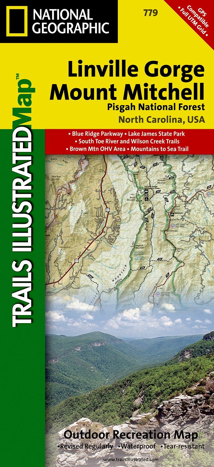
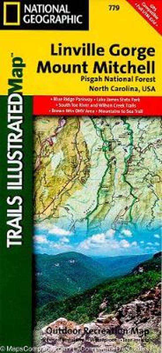
- Wandelkaart - Topografische kaart 779 Linville Gorge - Mount Mitchell - Pisgah National Forest | National Geographic
- Prachtige geplastificeerde kaart van het bekende nationaal park. Met alle recreatieve voorzieningen als campsites, maar ook met topografische details en wandelroutes ed. Door uitgekiend kleurgebruik zeer prettig in gebruik. Scheur en watervast! Coverage includes Pisgah National Forest, Grandfather Ranger District (complete) and Appalachian... Read more
- Also available from:
- Bol.com, Netherlands
- Bol.com, Belgium
- Stanfords, United Kingdom
- The Book Depository, United Kingdom
Bol.com
Netherlands
Netherlands
- Linville Gorge/mount Mitchell, Pisgah National Forest
- Waterproof Tear-Resistant Topographic MapExpertly researched and created in partnership with local land management agencies, National Geographic's Trails Illustrated map of Linville Gorge and Mount Mitchell provides an unparalleled tool for exploring these remarkable features within Pisgah National Forest. This map includes such key areas... Read more
Bol.com
Belgium
Belgium
- Linville Gorge/mount Mitchell, Pisgah National Forest
- Waterproof Tear-Resistant Topographic MapExpertly researched and created in partnership with local land management agencies, National Geographic's Trails Illustrated map of Linville Gorge and Mount Mitchell provides an unparalleled tool for exploring these remarkable features within Pisgah National Forest. This map includes such key areas... Read more

Stanfords
United Kingdom
United Kingdom
- Pisgah National Forest - Linville Gorge - Mt. Mitchell NC
- Map No. 779, Pisgah National Forest: Linville Gorge - Mt. Mitchell, NC, in an extensive series of GPS compatible, contoured hiking maps of USA’s national and state parks or forests and other popular recreational areas. Cartography based on the national topographic survey, with additional tourist information.The maps, with most titles now... Read more

The Book Depository
United Kingdom
United Kingdom
- Linville Gorge/mount Mitchell, Pisgah National Forest
- Trails Illustrated Other Rec. Areas Read more

Bol.com
Netherlands
Netherlands
- Springer & Cohutta Mountains, Chattahoochee National Forest
- Waterproof Tear-Resistant Topographic MapLocated just north of Atlanta, the Chattahoochee National Forest contains the southern terminus of the Appalachian Trail along with an abundance of recreational opportunities for outdoor enthusiasts of all interests.This detailed recreation map contains carefully researched trails, campsites,... Read more
- Also available from:
- Bol.com, Belgium
- Stanfords, United Kingdom
Bol.com
Belgium
Belgium
- Springer & Cohutta Mountains, Chattahoochee National Forest
- Waterproof Tear-Resistant Topographic MapLocated just north of Atlanta, the Chattahoochee National Forest contains the southern terminus of the Appalachian Trail along with an abundance of recreational opportunities for outdoor enthusiasts of all interests.This detailed recreation map contains carefully researched trails, campsites,... Read more

Stanfords
United Kingdom
United Kingdom
- Chattahoochee National Forest - Springer and Cohutta Mountains GA/SC 777
- Map No. 777, Chattahoochee National Forest: Springer and Cohutta Mountains, GA/SC, in an extensive series of GPS compatible, contoured hiking maps of USA’s national and state parks or forests and other popular recreational areas. Cartography based on the national topographic survey, with additional tourist information.The maps, with most titles... Read more

De Zwerver
Netherlands
Netherlands
- Wandelkaart - Topografische kaart 318 Mount Rogers High Country - Grayson Highlands State Park | National Geographic
- Prachtige geplastificeerde kaart van het bekende nationaal park. Met alle recreatieve voorzieningen als campsites, maar ook met topografische details en wandelroutes ed. Door uitgekiend kleurgebruik zeer prettig in gebruik. Scheur en watervast! National Geographic's Trails Illustrated map of Mount Rogers High Country and Grayson Highlands... Read more
- Also available from:
- Bol.com, Netherlands
- Bol.com, Belgium
- Stanfords, United Kingdom
- The Book Depository, United Kingdom

Bol.com
Netherlands
Netherlands
- Mount Rogers High Country
- Waterproof Tear-Resistant Topographic MapNational Geographic's Trails Illustrated map of Mount Rogers High Country and Grayson Highlands State Park, Southwest Virginia, is a two-sided, waterproof, topographic trail map designed to meet the needs of outdoor enthusiasts with unmatched durability and detail. This map was created in... Read more
Bol.com
Belgium
Belgium
- Mount Rogers High Country
- Waterproof Tear-Resistant Topographic MapNational Geographic's Trails Illustrated map of Mount Rogers High Country and Grayson Highlands State Park, Southwest Virginia, is a two-sided, waterproof, topographic trail map designed to meet the needs of outdoor enthusiasts with unmatched durability and detail. This map was created in... Read more

Stanfords
United Kingdom
United Kingdom
- Mount Rogers High Country VA
- Map No. 318 - Mount Rogers High Country in Virginia in an extensive series of GPS compatible, contoured hiking maps of USA’s national and state parks or forests and other popular recreational areas. Cartography based on the national topographic survey, with additional tourist information.The maps, with most titles now printed on light,... Read more

The Book Depository
United Kingdom
United Kingdom
- Mount Rogers High Country
- Trails Illustrated Other Rec. Areas Read more

De Zwerver
Netherlands
Netherlands
- Wandelkaart - Topografische kaart 747 Green Mountain National Forest North - Moosalamoo NRA - Rutland | National Geographic
- Prachtige geplastificeerde kaart van het bekende nationaal park. Met alle recreatieve voorzieningen als campsites, maar ook met topografische details en wandelroutes ed. Door uitgekiend kleurgebruik zeer prettig in gebruik. Scheur en watervast! National Geographic's Green Mountain National Forest North Trails Illustrated topographic map is... Read more
- Also available from:
- Bol.com, Netherlands
- Bol.com, Belgium
- Stanfords, United Kingdom
- The Book Depository, United Kingdom

Bol.com
Netherlands
Netherlands
- Green Mountains N.F., Moosalamoo NRA/Rutland
- Waterproof Tear-Resistant Topographic MapNational Geographic's Green Mountain National Forest North Trails Illustrated topographic map is the most comprehensive available for outdoor enthusiasts of all types. Designed to be easy-to-read, yet highly detailed this map includes a comprehensive road and trail network distinguishing between... Read more
Bol.com
Belgium
Belgium
- Green Mountains N.F., Moosalamoo NRA/Rutland
- Waterproof Tear-Resistant Topographic MapNational Geographic's Green Mountain National Forest North Trails Illustrated topographic map is the most comprehensive available for outdoor enthusiasts of all types. Designed to be easy-to-read, yet highly detailed this map includes a comprehensive road and trail network distinguishing between... Read more

Stanfords
United Kingdom
United Kingdom
- Green Mountain National Forest - Moosalamoo NRA - Rutland VT
- Map No. 747, Green Mountain National Forest: Moosalamoo NRA - Rutland area in Vermont, in an extensive series of GPS compatible, contoured hiking maps of USA’s national and state parks or forests and other popular recreational areas. Cartography based on the national topographic survey, with additional tourist information.The maps, with most... Read more

The Book Depository
United Kingdom
United Kingdom
- Green Mountains N.f., Moosalamoo Nra/rutland
- Trails Illustrated Other Rec. Areas Read more