
Sierra National Forest
Beschrijving
Paden in deze regio
Links
Feiten
Verslagen
Gidsen en kaarten
Overnachting
Organisaties
Reisorganisaties
GPS
Anders
Boeken

De Zwerver
Netherlands
2018
Netherlands
2018

De Zwerver
Netherlands
Netherlands
- Reisverhaal Six Months With Three Pairs Of Undies | André De Jel, Lian De Jel
- The Pacific Crest Trail Read more
Bol.com
Netherlands
Netherlands
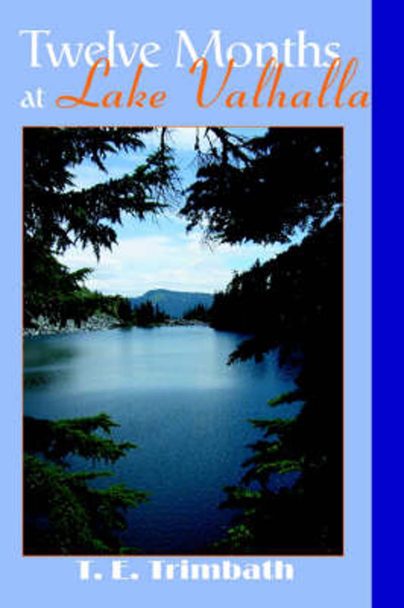
- Twelve Months at Lake Valhalla
- Twelve months of visits to a mountain lake tells more than twelve tales. The solitude found during a Wednesday in the winter is completely different than the chaos found on a Saturday in the summer. The seasons make one set of changes. We make the other. The combination produces a much more interesting set of experiences that can't be revealed... Read more
- Also available from:
- Bol.com, Belgium
Bol.com
Belgium
Belgium
- Twelve Months at Lake Valhalla
- Twelve months of visits to a mountain lake tells more than twelve tales. The solitude found during a Wednesday in the winter is completely different than the chaos found on a Saturday in the summer. The seasons make one set of changes. We make the other. The combination produces a much more interesting set of experiences that can't be revealed... Read more
Bol.com
Netherlands
Netherlands
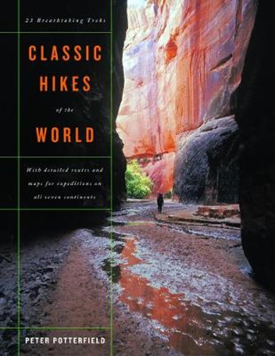
- Classic Hikes of the World
- This book will help you realize your dreams of hiking among the world's highest peaks and most scenic canyons, discovering wilderness far from the clamor of civilization, encountering rare birds and animals, glorying in sunsets over glacier-clad ranges, and feeling the joy and achievement of hiking some of the world's most spectacular trails.... Read more
- Also available from:
- Bol.com, Belgium
- The Book Depository, United Kingdom
Bol.com
Belgium
Belgium
- Classic Hikes of the World
- This book will help you realize your dreams of hiking among the world's highest peaks and most scenic canyons, discovering wilderness far from the clamor of civilization, encountering rare birds and animals, glorying in sunsets over glacier-clad ranges, and feeling the joy and achievement of hiking some of the world's most spectacular trails.... Read more

Bol.com
Netherlands
Netherlands
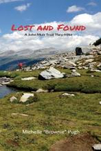
- Lost and Found
- When she found herself craving a new challenge, Michelle “Brownie” Pugh set her eyes on the John Muir Trail—a hiking trail traversing 211 miles from Yosemite Valley to Mount Whitney in California. Heralded by Backpacker Magazine as the best long-distance trail in the country, the John Muir Trail boasts scenic and demanding... Read more
- Also available from:
- Bol.com, Belgium
Bol.com
Belgium
Belgium
- Lost and Found
- When she found herself craving a new challenge, Michelle “Brownie” Pugh set her eyes on the John Muir Trail—a hiking trail traversing 211 miles from Yosemite Valley to Mount Whitney in California. Heralded by Backpacker Magazine as the best long-distance trail in the country, the John Muir Trail boasts scenic and demanding... Read more
Bol.com
Netherlands
Netherlands
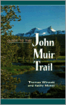
- Guide to the John Muir Trail
- Offers advice on planning a hiking or backpacking trip on the John Muir Trail, discussing supplies, permits, animal problems, and packing, with trail profiles and maps Read more
- Also available from:
- Bol.com, Belgium
Bol.com
Belgium
Belgium
- Guide to the John Muir Trail
- Offers advice on planning a hiking or backpacking trip on the John Muir Trail, discussing supplies, permits, animal problems, and packing, with trail profiles and maps Read more
Bol.com
Netherlands
Netherlands
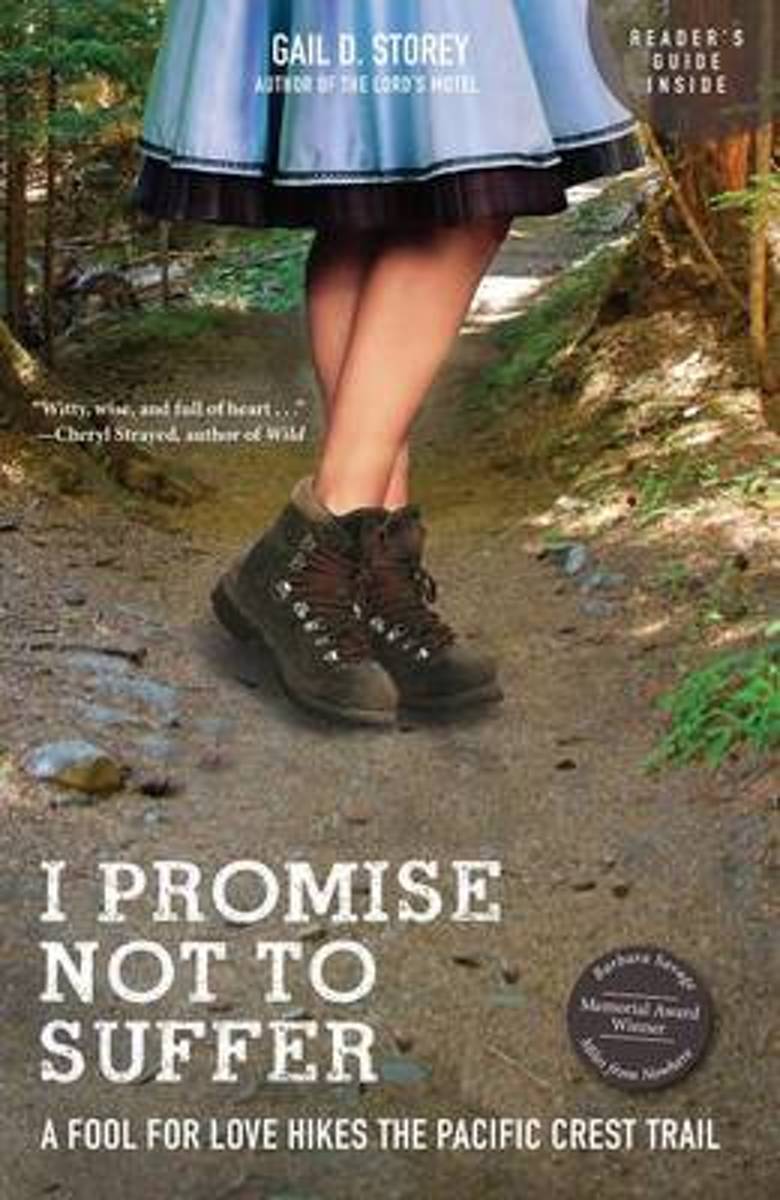
- I Promise Not to Suffer
- With comfortable urban lives in Houston, Texas, and career and life goals mostly accomplished, Gail D. Storey and her husband were in their fifties when they decided it was time to test themselves on a new path a 2,663-mile path known as the Pacific Crest Trail, which stretches from Mexico to Canada. "I Promise Not to Suffer" is Gail's... Read more
- Also available from:
- Bol.com, Belgium
Bol.com
Belgium
Belgium
- I Promise Not to Suffer
- With comfortable urban lives in Houston, Texas, and career and life goals mostly accomplished, Gail D. Storey and her husband were in their fifties when they decided it was time to test themselves on a new path a 2,663-mile path known as the Pacific Crest Trail, which stretches from Mexico to Canada. "I Promise Not to Suffer" is Gail's... Read more
Bol.com
Netherlands
Netherlands
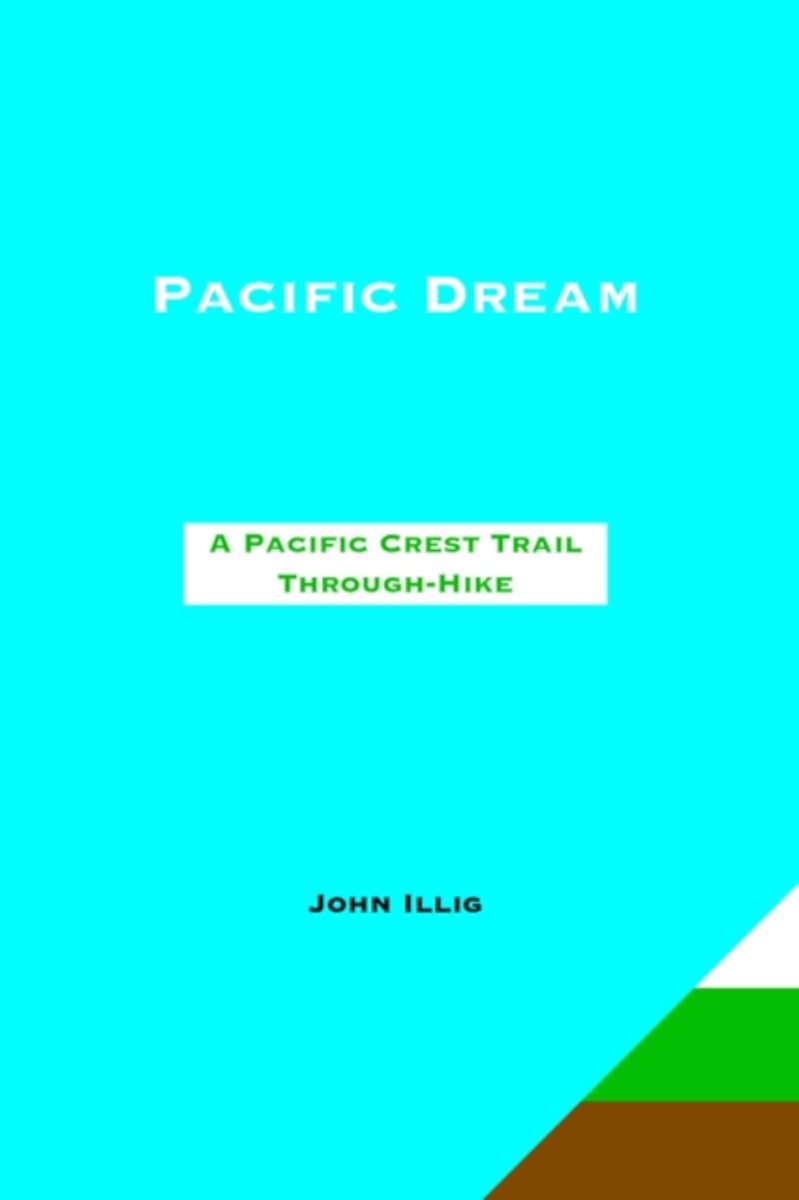
- Pacific Dream
- A PACIFIC CREST TRAIL THROUGH HIKE THIS VIVID ACCOUNT OF A MAN AND HIS WIFE HIKING FROM MEXICO TO CANADA AT ONE GO IS AMAZING. "Unflinchingly honest, vividly told, funny, true, fascinating, exciting - Pacific Dream is all these things. It's the best book I've read this year and I'll never forget it. John writes with a candor that's shockingly... Read more
- Also available from:
- Bol.com, Belgium
Bol.com
Belgium
Belgium
- Pacific Dream
- A PACIFIC CREST TRAIL THROUGH HIKE THIS VIVID ACCOUNT OF A MAN AND HIS WIFE HIKING FROM MEXICO TO CANADA AT ONE GO IS AMAZING. "Unflinchingly honest, vividly told, funny, true, fascinating, exciting - Pacific Dream is all these things. It's the best book I've read this year and I'll never forget it. John writes with a candor that's shockingly... Read more
Bol.com
Netherlands
Netherlands
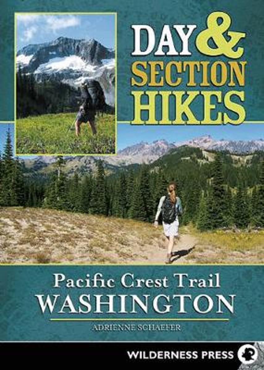
- Day & Section Hikes Pacific Crest Trail
- Discover the best segments of the Pacific Crest Trail in Washington with this succinct and portable guide. Instead of guiding hikers through the arduous task of hiking the entire Pacific Crest Trail, this guide helps travelers plan trips that incorporate hiking on the PCT. From the mighty waters of the Columbia River to the majestic peaks of... Read more
- Also available from:
- Bol.com, Belgium
Bol.com
Belgium
Belgium
- Day & Section Hikes Pacific Crest Trail
- Discover the best segments of the Pacific Crest Trail in Washington with this succinct and portable guide. Instead of guiding hikers through the arduous task of hiking the entire Pacific Crest Trail, this guide helps travelers plan trips that incorporate hiking on the PCT. From the mighty waters of the Columbia River to the majestic peaks of... Read more
Bol.com
Netherlands
Netherlands
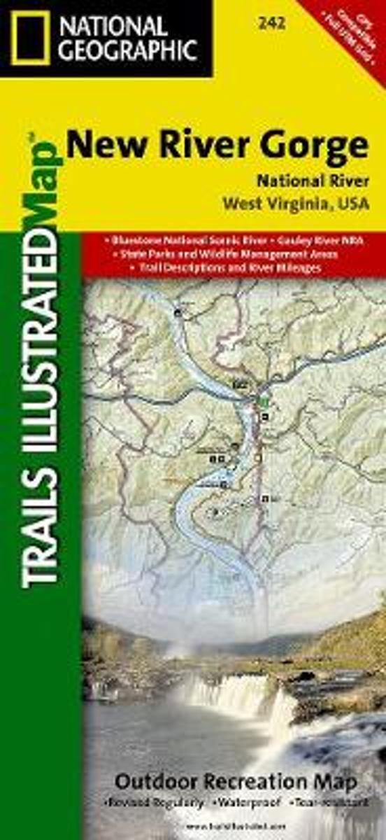
- New River Gorge National River
- Waterproof Tear-Resistant Topographic MapThis Trails Illustrated topographic map for Big South Fork National River and Recreation Area in southern Kentucky and northern Tennessee is the perfect map for hiking, biking, exploring, climbing, camping, and sightseeing in this stunning area.The map includes Daniel Boone National Forest, Big... Read more
- Also available from:
- Bol.com, Belgium
- Stanfords, United Kingdom
Bol.com
Belgium
Belgium
- New River Gorge National River
- Waterproof Tear-Resistant Topographic MapThis Trails Illustrated topographic map for Big South Fork National River and Recreation Area in southern Kentucky and northern Tennessee is the perfect map for hiking, biking, exploring, climbing, camping, and sightseeing in this stunning area.The map includes Daniel Boone National Forest, Big... Read more

Stanfords
United Kingdom
United Kingdom
- New River Gorge National River WV
- Map No. 242, New River Gorge National River, WV, in an extensive series of GPS compatible, contoured hiking maps of USA’s national and state parks or forests and other popular recreational areas. Cartography based on the national topographic survey, with additional tourist information.The maps, with most titles now printed on light, waterproof... Read more

Bol.com
Netherlands
Netherlands
- The Pacific Crest Trail Photo Journal
- This book describes the first 110 miles of the Pacific Crest Trail through the San Diego backcountry, from the US - Mexico border to Warner Springs, California. It includes over 300 color photos taken along the trail during a hike by the author in March 2013, including a picture of the PCT at every milepoint. The book combines elements of a... Read more
- Also available from:
- Bol.com, Belgium
Bol.com
Belgium
Belgium
- The Pacific Crest Trail Photo Journal
- This book describes the first 110 miles of the Pacific Crest Trail through the San Diego backcountry, from the US - Mexico border to Warner Springs, California. It includes over 300 color photos taken along the trail during a hike by the author in March 2013, including a picture of the PCT at every milepoint. The book combines elements of a... Read more
Bol.com
Netherlands
Netherlands
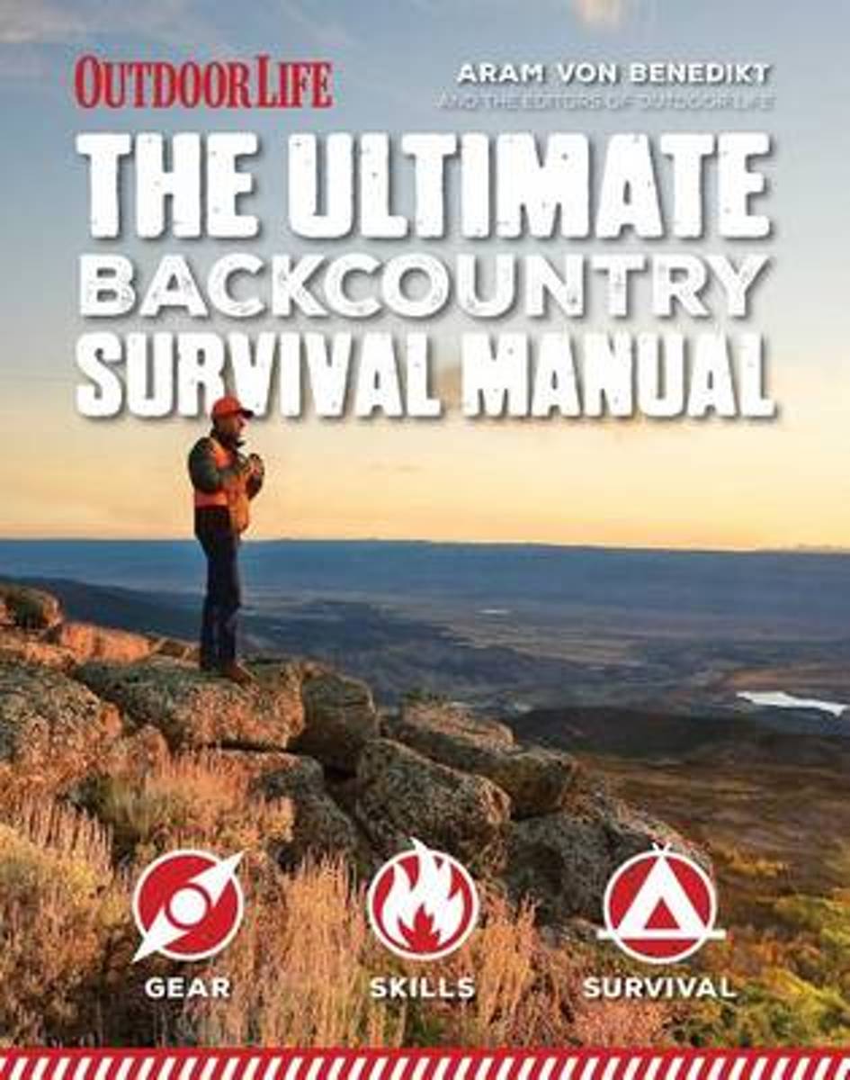
- Ultimate Backcountry Survival Manual
- When it s you against the wilderness, you need to be prepared for whatever life can throw at you. Whether you re planning to hike the Pacific Crest Trail or camping off the beaten path in your nearby state park, being out in the wild comes with inherent risks. From the everyday disruptions to the extreme circumstances, the "Total Backcountry... Read more
- Also available from:
- Bol.com, Belgium
Bol.com
Belgium
Belgium
- Ultimate Backcountry Survival Manual
- When it s you against the wilderness, you need to be prepared for whatever life can throw at you. Whether you re planning to hike the Pacific Crest Trail or camping off the beaten path in your nearby state park, being out in the wild comes with inherent risks. From the everyday disruptions to the extreme circumstances, the "Total Backcountry... Read more
Bol.com
Netherlands
Netherlands
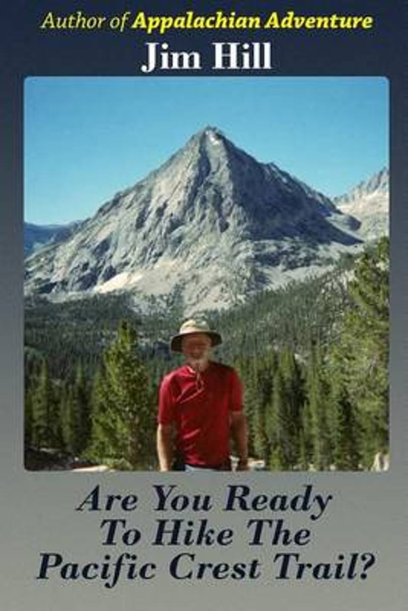
- Are You Ready to Hike the Pacific Crest Trail?
- When I finished hiking the Appalachian Trail in 2009 I wrote about my adventure for my family and friends. A number of them told me they felt like they were hiking the Appalachian Trail with me from the comfort of home. I hiked the Pacific Crest Trail in 2012. They wanted me to write about that adventure, too. When I finished writing the book,... Read more
- Also available from:
- Bol.com, Belgium
Bol.com
Belgium
Belgium
- Are You Ready to Hike the Pacific Crest Trail?
- When I finished hiking the Appalachian Trail in 2009 I wrote about my adventure for my family and friends. A number of them told me they felt like they were hiking the Appalachian Trail with me from the comfort of home. I hiked the Pacific Crest Trail in 2012. They wanted me to write about that adventure, too. When I finished writing the book,... Read more
Bol.com
Netherlands
Netherlands
- Hiking the Pacific Crest Trail
- Section Hiking from Tuolumne Meadows to Donomore Pass Read more
- Also available from:
- Bol.com, Belgium
- The Book Depository, United Kingdom
Bol.com
Belgium
Belgium
- Hiking the Pacific Crest Trail
- Section Hiking from Tuolumne Meadows to Donomore Pass Read more

The Book Depository
United Kingdom
United Kingdom
- Hiking the Pacific Crest Trail: Southern California
- Section Hiking from Campo to Tuolumne Meadows Read more
Bol.com
Netherlands
Netherlands
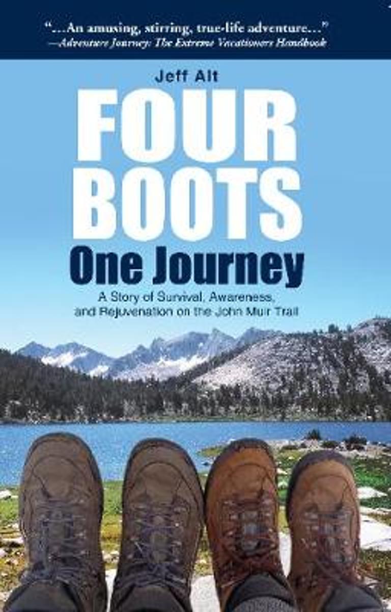
- Four Boots-One Journey
- Originally published as an award-winning paperback: A Hike for Mike. Jeff Alt takes you vicariously along the John Muir Trail, on an entertaining adventure, with his new wife, Beth. Jeff convinces Beth, a woman who prefers hotels, hot showers and warm beds to chuck her domesticated ways and hike over 218-miles which leads to lots of humorous... Read more
- Also available from:
- Bol.com, Belgium
Bol.com
Belgium
Belgium
- Four Boots-One Journey
- Originally published as an award-winning paperback: A Hike for Mike. Jeff Alt takes you vicariously along the John Muir Trail, on an entertaining adventure, with his new wife, Beth. Jeff convinces Beth, a woman who prefers hotels, hot showers and warm beds to chuck her domesticated ways and hike over 218-miles which leads to lots of humorous... Read more
Kaarten

De Zwerver
Netherlands
Netherlands
- Wandelkaart - Topografische kaart 809 Mammoth Lakes - Mono Divide - Inyo and Sierra National Forests | National Geographic
- Prachtige geplastificeerde kaart van het bekende nationaal park. Met alle recreatieve voorzieningen als campsites, maar ook met topografische details en wandelroutes ed. Door uitgekiend kleurgebruik zeer prettig in gebruik. Scheur en watervast! Trails Illustrated Mammoth Lakes / Mono Divide is the first of five exciting new maps for the... Read more
- Also available from:
- Bol.com, Netherlands
- Bol.com, Belgium
- Stanfords, United Kingdom

Bol.com
Netherlands
Netherlands
- Mammoth Lakes/mono Divide
- Waterproof Tear-Resistant Topographic MapTrails Illustrated Mammoth Lakes / Mono Divide is the first of five exciting new maps for the California Sierra Nevadas that will combine to form seamless coverage of the high-use National Forest areas between Sequoia / Kings Canyon National Parks and Lake Tahoe. This region contains some of the... Read more
Bol.com
Belgium
Belgium
- Mammoth Lakes/mono Divide
- Waterproof Tear-Resistant Topographic MapTrails Illustrated Mammoth Lakes / Mono Divide is the first of five exciting new maps for the California Sierra Nevadas that will combine to form seamless coverage of the high-use National Forest areas between Sequoia / Kings Canyon National Parks and Lake Tahoe. This region contains some of the... Read more

Stanfords
United Kingdom
United Kingdom
- Mammoth Lakes - Mono Divide CA
- Map No. 809, Mammoth Lakes / Mono Divide, CA, in an extensive series of GPS compatible, contoured hiking maps of USA’s national and state parks or forests and other popular recreational areas. Cartography based on the national topographic survey, with additional tourist information.The maps, with most titles now printed on light, waterproof and... Read more

Bol.com
Netherlands
Netherlands
- Carson-iceberg/emigrant/mokleumne Wilderness Areas
- Waterproof Tear-Resistant Topographic MapPart of our exciting new coverage for California's Sierra Nevada, our Carson-Iceberg, Emigrant and Mokelumne Wilderness Trails Illustrated map details the high use recreation areas of Stanislaus and Humboldt-Toiyabe National Forests from Yosemite National Park north to Caples Lake and Markleeville.... Read more
- Also available from:
- Bol.com, Belgium
- Stanfords, United Kingdom
Bol.com
Belgium
Belgium
- Carson-iceberg/emigrant/mokleumne Wilderness Areas
- Waterproof Tear-Resistant Topographic MapPart of our exciting new coverage for California's Sierra Nevada, our Carson-Iceberg, Emigrant and Mokelumne Wilderness Trails Illustrated map details the high use recreation areas of Stanislaus and Humboldt-Toiyabe National Forests from Yosemite National Park north to Caples Lake and Markleeville.... Read more

Stanfords
United Kingdom
United Kingdom
- Carson-Iceberg - Emigrant and Mokleumne Wilderness Areas CA
- Map No. 807, Carson-Iceberg / Emigrant / Mokleumne Wilderness Areas, CA, in an extensive series of GPS compatible, contoured hiking maps of USA’s national and state parks or forests and other popular recreational areas. Cartography based on the national topographic survey, with additional tourist information.The maps, with most titles now... Read more

Bol.com
Netherlands
Netherlands
- Goat Rocks & Norse Peak Wilderness Area, Gifford-pinchot & Okanogan-wenatchee National Forests
- Waterproof Tear-Resistant Topographic MapGifford-Pinchot and Okanogan-Wenatchee National Forests Washington, USAOne of five new Trails Illustrated maps for the Washington Cascades region offers the most detailed and up-to-date map for the forest, carefully researched and developed in co-operation with local land managers and agencies.... Read more
- Also available from:
- Bol.com, Belgium
- Stanfords, United Kingdom
Bol.com
Belgium
Belgium
- Goat Rocks & Norse Peak Wilderness Area, Gifford-pinchot & Okanogan-wenatchee National Forests
- Waterproof Tear-Resistant Topographic MapGifford-Pinchot and Okanogan-Wenatchee National Forests Washington, USAOne of five new Trails Illustrated maps for the Washington Cascades region offers the most detailed and up-to-date map for the forest, carefully researched and developed in co-operation with local land managers and agencies.... Read more

Stanfords
United Kingdom
United Kingdom
- Goat Rocks - Norse Peak William O. Douglas Wilderness Area WA
- Map No. 823, Goat Rocks and Norse Peak Wilderness Area - Gifford-Pinchot and Okanogan-Wenatchee National Forests, WA, in an extensive series of GPS compatible, contoured hiking maps of USA’s national and state parks or forests and other popular recreational areas. Cartography based on the national topographic survey, with additional tourist... Read more

Bol.com
Netherlands
Netherlands
- Alpine Lakes Wilderness Area, Mount Baker-snoqualmie & Okanogan-wenatchee National Forests
- Waterproof Tear-Resistant Topographic MapMount Baker-Snoqualmie and Okanogan-Wenatchee National Forests Washington, USAOne of five new Trails Illustrated maps for the Washington Cascades region offering the most detailed and up-to-date map for the forest, carefully researched and developed in co-operation with local land managers and... Read more
- Also available from:
- Bol.com, Belgium
- Stanfords, United Kingdom
Bol.com
Belgium
Belgium
- Alpine Lakes Wilderness Area, Mount Baker-snoqualmie & Okanogan-wenatchee National Forests
- Waterproof Tear-Resistant Topographic MapMount Baker-Snoqualmie and Okanogan-Wenatchee National Forests Washington, USAOne of five new Trails Illustrated maps for the Washington Cascades region offering the most detailed and up-to-date map for the forest, carefully researched and developed in co-operation with local land managers and... Read more

Stanfords
United Kingdom
United Kingdom
- Alpine Lakes Wilderness - Mt Baker-Snoqualmie and Okanogan-Wenatchee National Forests WA
- Map No. 825, Alpine Lakes Wilderness Area - Mount Baker-Snoqualmie Wilderness Areas and Okanogan-Wenatchee National Forests, WA, in an extensive series of GPS compatible, contoured hiking maps of USA’s national and state parks or forests and other popular recreational areas. Cartography based on the national topographic survey, with additional... Read more
De Zwerver
Netherlands
Netherlands
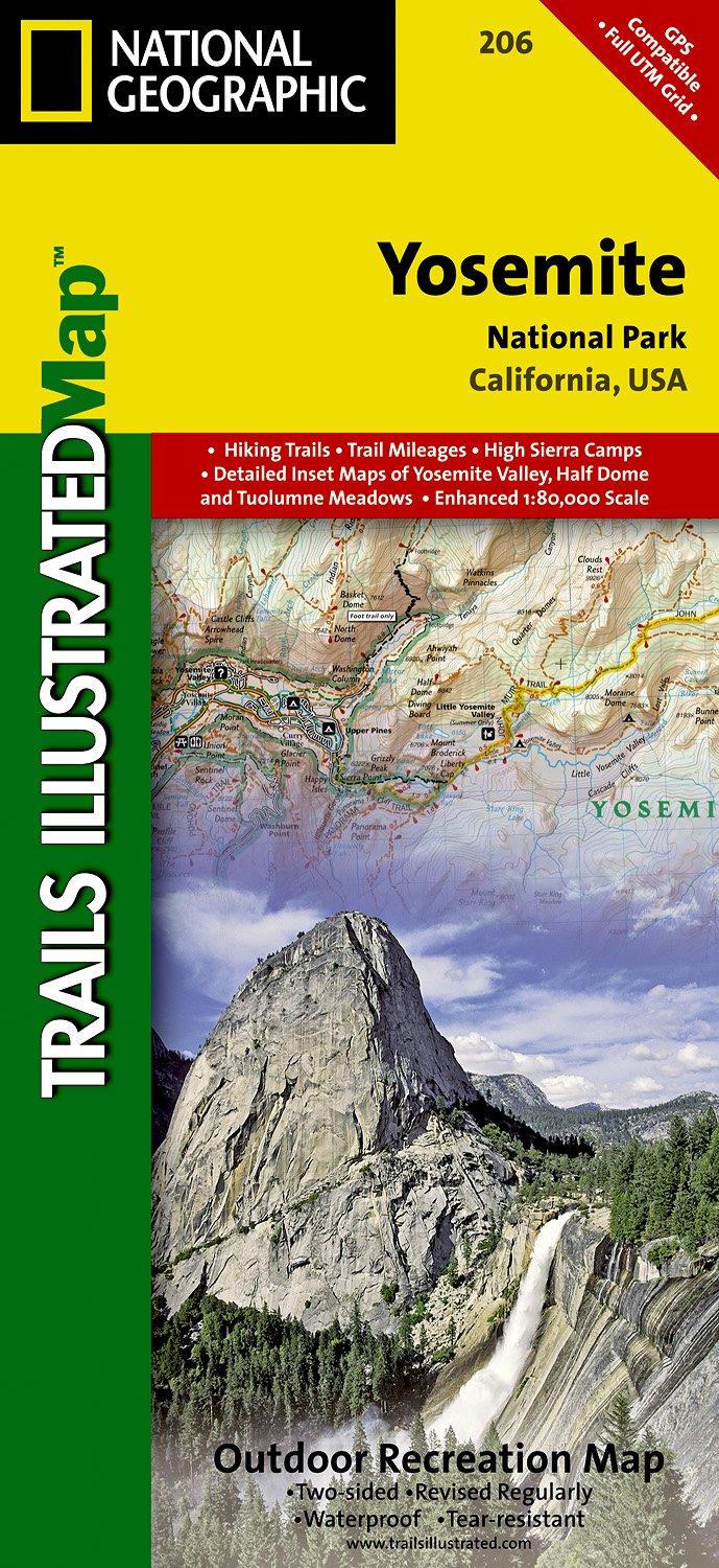
- Wandelkaart - Topografische kaart 206 Yosemite National Park | National Geographic
- Prachtige geplastificeerde kaart van het bekende nationaal park. Met alle recreatieve voorzieningen als campsites, maar ook met topografische details en wandelroutes ed. Door uitgekiend kleurgebruik zeer prettig in gebruik. Scheur en watervast! Coverage includes Stanislaus National Forest, Emigrant Wilderness, Carson Iceberg Wilderness, Toiyabe... Read more
- Also available from:
- Bol.com, Netherlands
- Bol.com, Belgium
- Stanfords, United Kingdom
- The Book Depository, United Kingdom
Bol.com
Netherlands
Netherlands
- Yosemite National Park
- Waterproof Tear-Resistant Topographic MapExplore the majesty of Yosemite National Park with National Geographic's Trails Illustrated map. Loaded with helpful information on camping, hiking, lodging, transportation, regulations, and safety, this map is an invaluable tool for casual park visitors and avid adventurers alike. Expertly... Read more
Bol.com
Belgium
Belgium
- Yosemite National Park
- Waterproof Tear-Resistant Topographic MapExplore the majesty of Yosemite National Park with National Geographic's Trails Illustrated map. Loaded with helpful information on camping, hiking, lodging, transportation, regulations, and safety, this map is an invaluable tool for casual park visitors and avid adventurers alike. Expertly... Read more

Stanfords
United Kingdom
United Kingdom
- Yosemite National Park CA NGS Trails Illustrated Map 206
- Map No. 206, Yosemite National Park, CA, in an extensive series of GPS compatible, contoured hiking maps of USA’s national and state parks or forests and other popular recreational areas. Cartography based on the national topographic survey, with additional tourist information.The maps, with most titles now printed on light, waterproof and... Read more


Bol.com
Netherlands
Netherlands
- Mount Whitney
- Waterproof Tear-Resistant Topographic MapMount Whitney is universally famous as the highest mountain in the United State outside of Alaska, as well as the highest point in California. National Geographic's Trails Illustrated map of Mount Whitney is a two-sided, waterproof map designed to meet the needs of Whitney visitors with unmatched... Read more
- Also available from:
- Bol.com, Belgium
- Stanfords, United Kingdom
Bol.com
Belgium
Belgium
- Mount Whitney
- Waterproof Tear-Resistant Topographic MapMount Whitney is universally famous as the highest mountain in the United State outside of Alaska, as well as the highest point in California. National Geographic's Trails Illustrated map of Mount Whitney is a two-sided, waterproof map designed to meet the needs of Whitney visitors with unmatched... Read more

Stanfords
United Kingdom
United Kingdom
- Mount Whitney CA NGS Trails Illustrated Map 322
- Map No. 322, Mount Whitney in California at 1:40,000, in an extensive series of GPS compatible, contoured hiking maps of USA’s national and state parks or forests and other popular recreational areas. Cartography is based on the national topographic survey, with additional tourist information.The maps, with most titles now printed on light,... Read more

De Zwerver
Netherlands
Netherlands
- Wandelkaart - Topografische kaart 205 Sequoia - Kings Canyon National Parks | National Geographic
- Prachtige geplastificeerde kaart van het nationaal park. Met alle recreatieve voorzieningen als campsites, maar ook met topografische details en wandelroutes ed. Door uitgekiend kleurgebruik zeer prettig in gebruik. Scheur en watervast! Trails Illustrated maps are the most trusted and popular recreation maps available. Continually setting the... Read more
- Also available from:
- Bol.com, Netherlands
- Bol.com, Belgium
- Stanfords, United Kingdom
- The Book Depository, United Kingdom

Bol.com
Netherlands
Netherlands
- Sequoia/kings Canyon National Park
- Waterproof Tear-Resistant Topographic MapIn Sequioa and Kings Canyon National Parks you can walk among the world's largest trees, hike the alpine landscape of the Sierra Crest, and marvel at the towering granite cliffs of one of the deepest canyons in the United States. National Geographic's Trails Illustrated map of Sequoia and Kings... Read more
Bol.com
Belgium
Belgium
- Sequoia/kings Canyon National Park
- Waterproof Tear-Resistant Topographic MapIn Sequioa and Kings Canyon National Parks you can walk among the world's largest trees, hike the alpine landscape of the Sierra Crest, and marvel at the towering granite cliffs of one of the deepest canyons in the United States. National Geographic's Trails Illustrated map of Sequoia and Kings... Read more

Stanfords
United Kingdom
United Kingdom
- Sequoia - Kings Canyon National Parks CA NGS Trails Illustrated Map 205
- Map No. 205, Sequoia/Kings Canyon National Park, CA, in an extensive series of GPS compatible, contoured hiking maps of USA’s national and state parks or forests and other popular recreational areas. Cartography based on the national topographic survey, with additional tourist information.The maps, with most titles now printed on light,... Read more

The Book Depository
United Kingdom
United Kingdom
- Sequoia/kings Canyon National Park
- Trails Illustrated National Parks Read more
De Zwerver
Netherlands
Netherlands
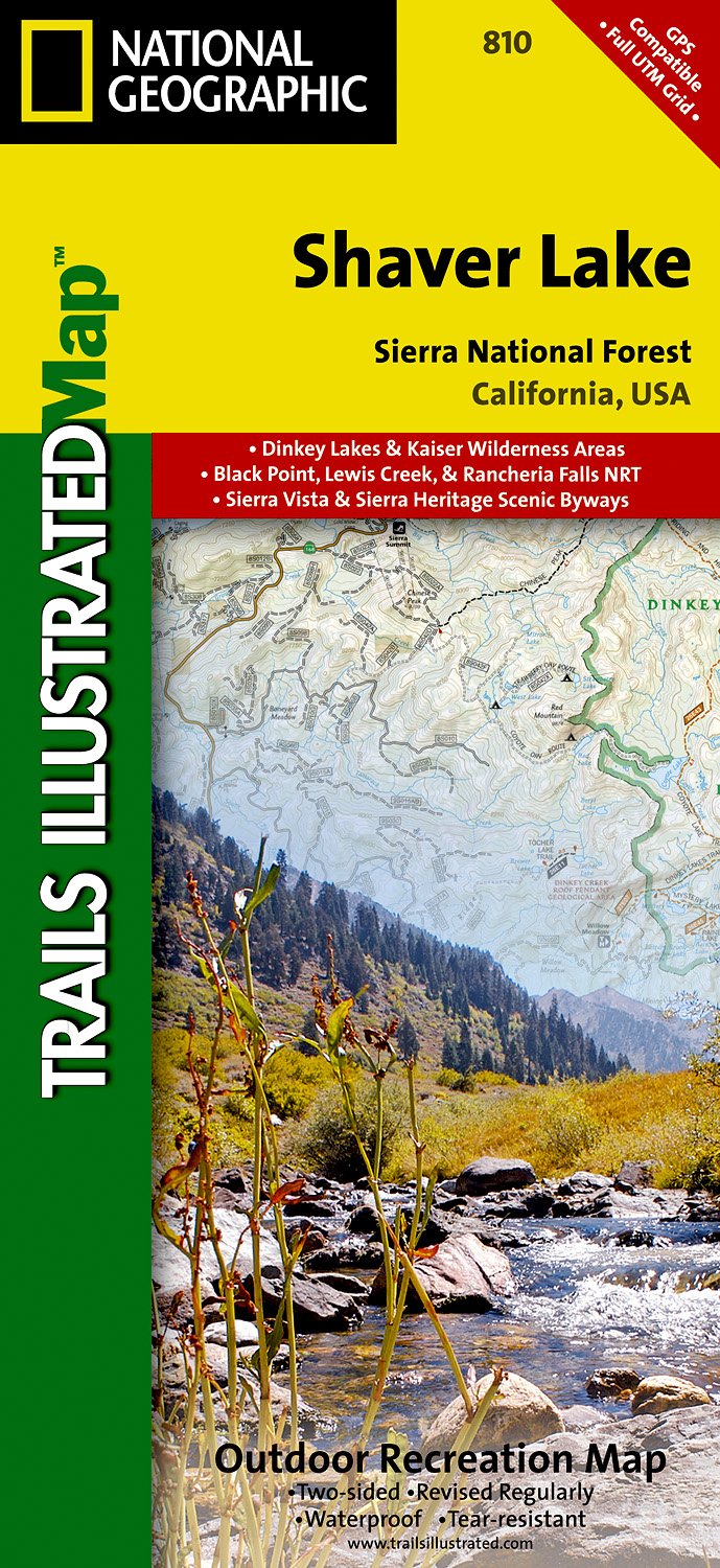
- Wandelkaart - Topografische kaart 810 Shaver Lake - Sierra National Forest | National Geographic
- Prachtige geplastificeerde kaart van het bekende nationaal park. Met alle recreatieve voorzieningen als campsites, maar ook met topografische details en wandelroutes ed. Door uitgekiend kleurgebruik zeer prettig in gebruik. Scheur en watervast! Trails Illustrated Shaver Lake / Sierra National Forest is the second of five exciting new maps for... Read more
- Also available from:
- Stanfords, United Kingdom
- The Book Depository, United Kingdom

Stanfords
United Kingdom
United Kingdom
- Shaver Lake - Sierra National Forest CA
- Map No. 810, Shaver Lake / Sierra National Forest, CA, in an extensive series of GPS compatible, contoured hiking maps of USA’s national and state parks or forests and other popular recreational areas. Cartography based on the national topographic survey, with additional tourist information.The maps, with most titles now printed on light,... Read more

The Book Depository
United Kingdom
United Kingdom
- Shaver Lake/sierra National Forest
- Trails Illustrated Other Rec. Areas Read more