
North Carolina
Beschrijving
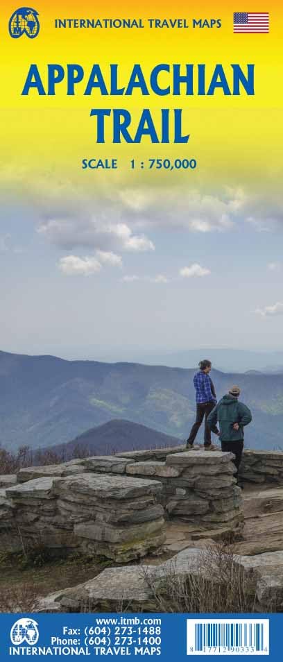
North Carolina, with its coast on the Atlantic and its Western Tip in the Appalachians, hosts the famous and busy Great Smoky Mountains National Park. South of this park lies the Nantahala National Forest. And north is the Pisgah National Forest. You will find some 2000 miles of trails in these areas.
The Appalachian Trail goes through the heart of the Great Smoky Mountains. The Mountains-to-Sea Trail will take you (when it is ready) from the Great Smoky Mountains to the Croatan National Forest and Cape Hatteras National Seashore, some 900 miles.
Interesting is the 300 mile Benton MacKaye Trail, in the remote backcountry of North Carolina, Georgia and Tennesse.
The long East Coast Greenway and Eastern Continental Trail also cross the state.
Kaart

Paden in deze landsdeel
Links
Feiten
Verslagen
Gidsen en kaarten
Overnachting
Organisaties
Reisorganisaties
GPS
Anders
Boeken

De Zwerver
Netherlands
Netherlands


De Zwerver
Netherlands
2018
Netherlands
2018
- Wandelgids USA: Appalachian Trail | Conrad Stein Verlag
- Handzame overzichtsgids van deze geweldige en uitdagende lange afstands wandeling in het oosten van de USA: de Appalachian Trail. Het is een ideale gids om de hele tocht voor te bereiden en als basisgids bij je te hebben. Goede beschrijvingen van etappes en veel praktische informatie. Het enige wat mager is zijn dekaarten: goed voor overzicht... Read more
Bol.com
Netherlands
Netherlands
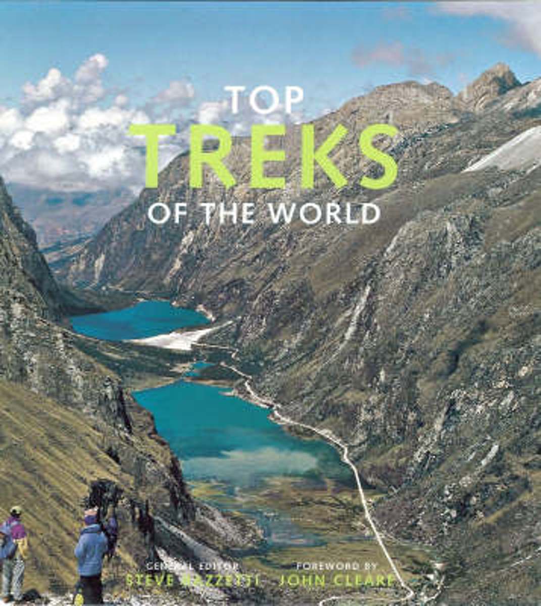
- Top Treks of the World
- Top Treks of the World is a beautifully illustrated, inspirational guide to the best long walks in the world. It uses wonderful mountain and wilderness photography to cover 29 of the best treks in the world, each piece written by an expert on the route. A trek is a walk that takes people away from civilization into a place they could not reach... Read more
- Also available from:
- Bol.com, Belgium
Bol.com
Belgium
Belgium
- Top Treks of the World
- Top Treks of the World is a beautifully illustrated, inspirational guide to the best long walks in the world. It uses wonderful mountain and wilderness photography to cover 29 of the best treks in the world, each piece written by an expert on the route. A trek is a walk that takes people away from civilization into a place they could not reach... Read more

Bol.com
Netherlands
Netherlands
- Natural Reflections
- "My first experiences of the natural world were with my grandfather in the woodlands of Appalachia. Those experiences sparked a lifelong curiosity of and connection to nature that set in motion a process of discovery that continues to this day."Johnson invites the reader on a personal journey into the natural world through his and other's... Read more
- Also available from:
- Bol.com, Belgium
Bol.com
Belgium
Belgium
- Natural Reflections
- "My first experiences of the natural world were with my grandfather in the woodlands of Appalachia. Those experiences sparked a lifelong curiosity of and connection to nature that set in motion a process of discovery that continues to this day."Johnson invites the reader on a personal journey into the natural world through his and other's... Read more
Bol.com
Netherlands
Netherlands
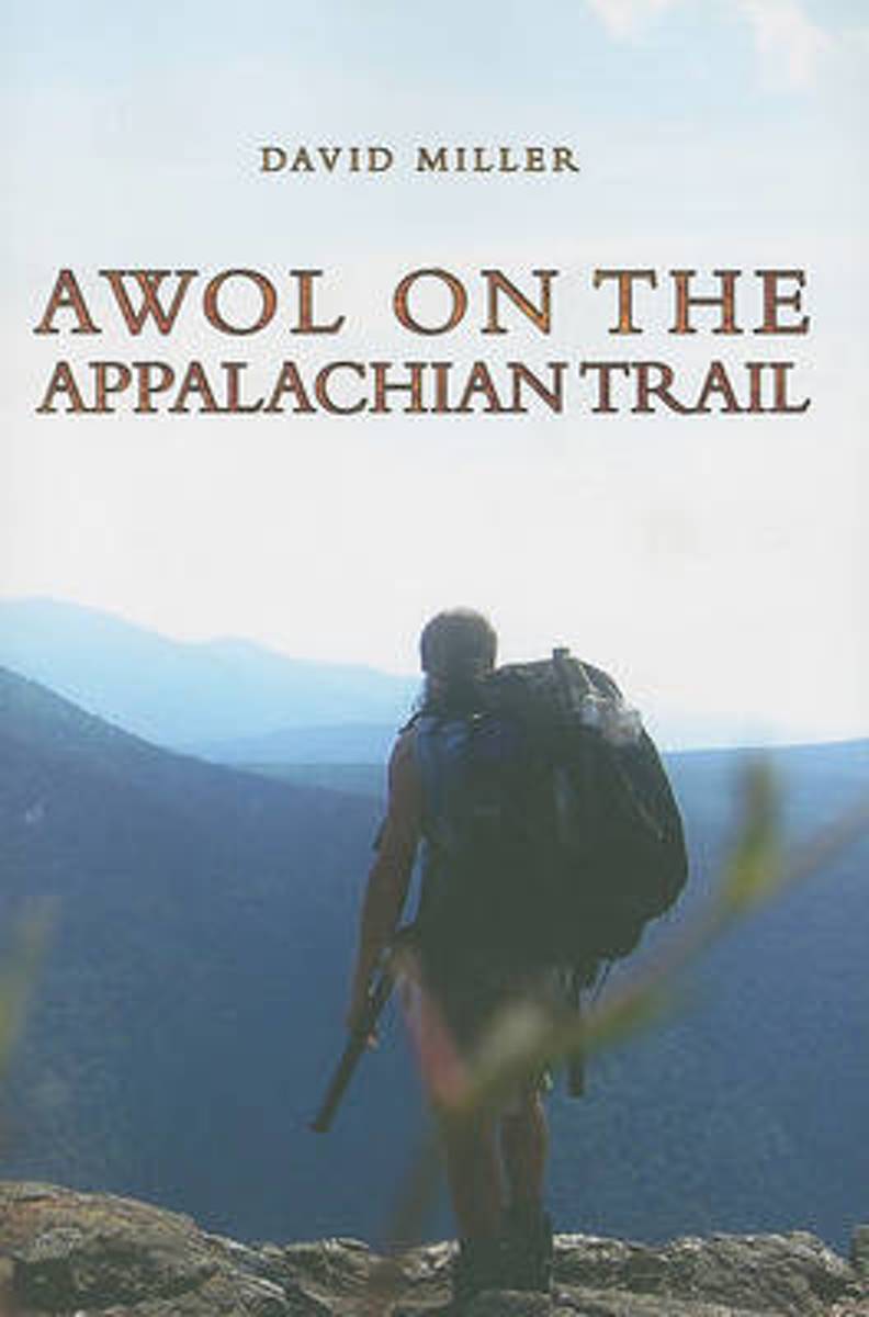
- AWOL on the Appalachian Trail
- In 2003, software engineer David Miller left his job, family, and friends to hike 2,172 miles of the Appalachian Trail. AWOL on the Appalachian Trail is Miller's account of this thru-hike from Georgia to Maine. Listeners are treated to rich descriptions of the Appalachian Mountains, the isolation and reverie, the inspiration that fueled his... Read more
- Also available from:
- Bol.com, Belgium
- The Book Depository, United Kingdom
Bol.com
Belgium
Belgium
- AWOL on the Appalachian Trail
- In 2003, software engineer David Miller left his job, family, and friends to hike 2,172 miles of the Appalachian Trail. AWOL on the Appalachian Trail is Miller's account of this thru-hike from Georgia to Maine. Listeners are treated to rich descriptions of the Appalachian Mountains, the isolation and reverie, the inspiration that fueled his... Read more

Bol.com
Netherlands
Netherlands
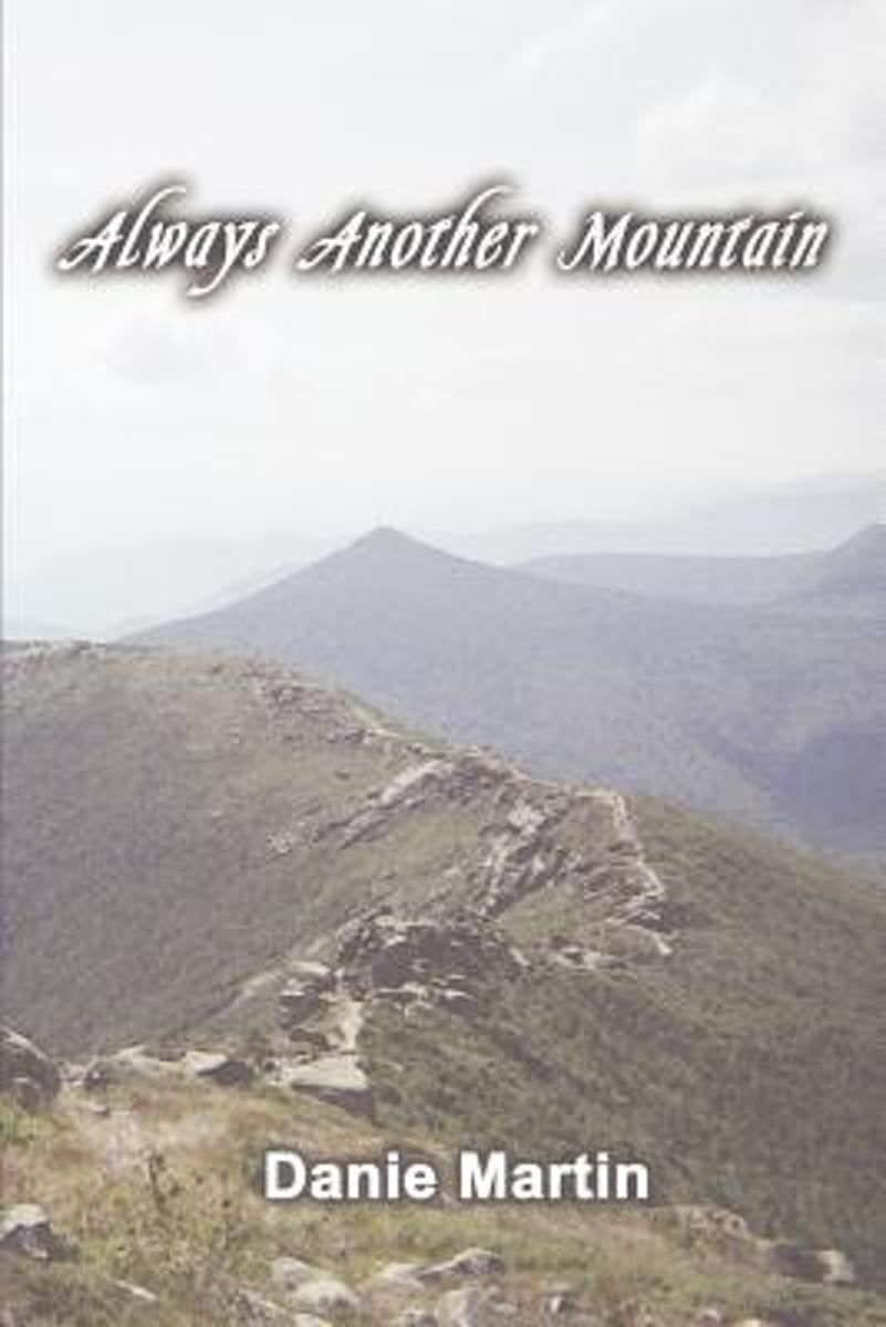
- Always Another Mountain
- This is the author's daily journal as she backpacked the Appalachian Trail in 2004. Hundreds of hikers attempt this challenging trek every year and fewer than one in five succeed. Starting alone from Springer Mountain Georgia in late winter, she faces cold, snow, injury, lightning, heat, three topical storms, and over 2000 miles of rugged... Read more
- Also available from:
- Bol.com, Belgium
Bol.com
Belgium
Belgium
- Always Another Mountain
- This is the author's daily journal as she backpacked the Appalachian Trail in 2004. Hundreds of hikers attempt this challenging trek every year and fewer than one in five succeed. Starting alone from Springer Mountain Georgia in late winter, she faces cold, snow, injury, lightning, heat, three topical storms, and over 2000 miles of rugged... Read more

Bol.com
Netherlands
Netherlands
- Of Moose and Men
- After landing the perfect job, Wellman drives to Maine where she spends five months living off grid, teaching Leave No Trace and confronting both men and moose in hilarious, behind the scene stories of what being a Ridgerunner on the Appalachian Trail really means. Known to the hiking community by her trail name 'Brawny', she has thru hiked the... Read more
- Also available from:
- Bol.com, Belgium
Bol.com
Belgium
Belgium
- Of Moose and Men
- After landing the perfect job, Wellman drives to Maine where she spends five months living off grid, teaching Leave No Trace and confronting both men and moose in hilarious, behind the scene stories of what being a Ridgerunner on the Appalachian Trail really means. Known to the hiking community by her trail name 'Brawny', she has thru hiked the... Read more
Bol.com
Netherlands
Netherlands
- A Walk in the Woods
- In the company of his friend Stephen Katz (last seen in the bestselling Neither Here nor There), Bill Bryson set off to hike the Appalachian Trail, the longest continuous footpath in the world. Ahead lay almost 2,200 miles of remote mountain wilderness filled with bears, moose, bobcats, rattlesnakes, poisonous plants, disease-bearing tics, the... Read more
- Also available from:
- Bol.com, Belgium
Bol.com
Belgium
Belgium
- A Walk in the Woods
- In the company of his friend Stephen Katz (last seen in the bestselling Neither Here nor There), Bill Bryson set off to hike the Appalachian Trail, the longest continuous footpath in the world. Ahead lay almost 2,200 miles of remote mountain wilderness filled with bears, moose, bobcats, rattlesnakes, poisonous plants, disease-bearing tics, the... Read more
Bol.com
Netherlands
Netherlands
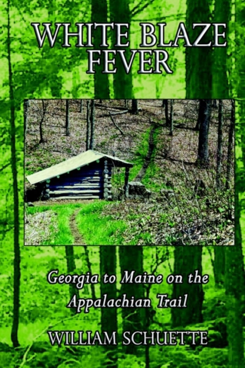
- White Blaze Fever
- It's called "White Blaze Fever" and although you will not find the fever mentioned in any medical journal, have no doubt in your mind - it does exist and no one is immune. Only the most casual, most minute contact with the Appalachian Trail is needed to catch the fever. I now welcome you to be my vicarious hiking partner as we pursue the... Read more
- Also available from:
- Bol.com, Belgium
Bol.com
Belgium
Belgium
- White Blaze Fever
- It's called "White Blaze Fever" and although you will not find the fever mentioned in any medical journal, have no doubt in your mind - it does exist and no one is immune. Only the most casual, most minute contact with the Appalachian Trail is needed to catch the fever. I now welcome you to be my vicarious hiking partner as we pursue the... Read more

Bol.com
Netherlands
Netherlands
- LE Americhe in Scala 1
- In viaggio: da New York a Buenos Aires. Prima tappa: Penn Station. Ultima tappa: Retiro. Ma mica diretto, no. Molte tappe di approssimazione successiva collegate da treni autobus e traghetti, tutti mezzi pubblici sia ben chiaro, magari anche qualche tratta a piedi. Perche se e l'Altra America che voglio conoscere, tanto vale che cominci da... Read more
- Also available from:
- Bol.com, Belgium
Bol.com
Belgium
Belgium
- LE Americhe in Scala 1
- In viaggio: da New York a Buenos Aires. Prima tappa: Penn Station. Ultima tappa: Retiro. Ma mica diretto, no. Molte tappe di approssimazione successiva collegate da treni autobus e traghetti, tutti mezzi pubblici sia ben chiaro, magari anche qualche tratta a piedi. Perche se e l'Altra America che voglio conoscere, tanto vale che cominci da... Read more

Bol.com
Netherlands
Netherlands
- Five Years on the Appalachian Trail
- Springer Mountain, Georgia, April Fools Day, 2007. Rain fell lightly as I took my first steps along this footpath leading to Mt. Katahdin, Maine. I read some books about the trail. This may have been my biggest misconception of the trail but certainly not my last. That night would be the first ever sleeping in a tent. My backpack weighed in... Read more
- Also available from:
- Bol.com, Belgium
- The Book Depository, United Kingdom
Bol.com
Belgium
Belgium
- Five Years on the Appalachian Trail
- Springer Mountain, Georgia, April Fools Day, 2007. Rain fell lightly as I took my first steps along this footpath leading to Mt. Katahdin, Maine. I read some books about the trail. This may have been my biggest misconception of the trail but certainly not my last. That night would be the first ever sleeping in a tent. My backpack weighed in... Read more


Bol.com
Netherlands
Netherlands
- Over the Top & Back Again
- Book of the Year Bronze Award 2010 (travel essays category), ForeWord Magazine After hiking some of the world's great trails, Brandon Wilson was excited to hear about the Via Alpina, paths running across eight countries on the backbone of the Alps. Besides promising immersion into Alpine life and wilderness, it was the ultimate adventure. It... Read more
- Also available from:
- Bol.com, Belgium
Bol.com
Belgium
Belgium
- Over the Top & Back Again
- Book of the Year Bronze Award 2010 (travel essays category), ForeWord Magazine After hiking some of the world's great trails, Brandon Wilson was excited to hear about the Via Alpina, paths running across eight countries on the backbone of the Alps. Besides promising immersion into Alpine life and wilderness, it was the ultimate adventure. It... Read more
Bol.com
Netherlands
Netherlands
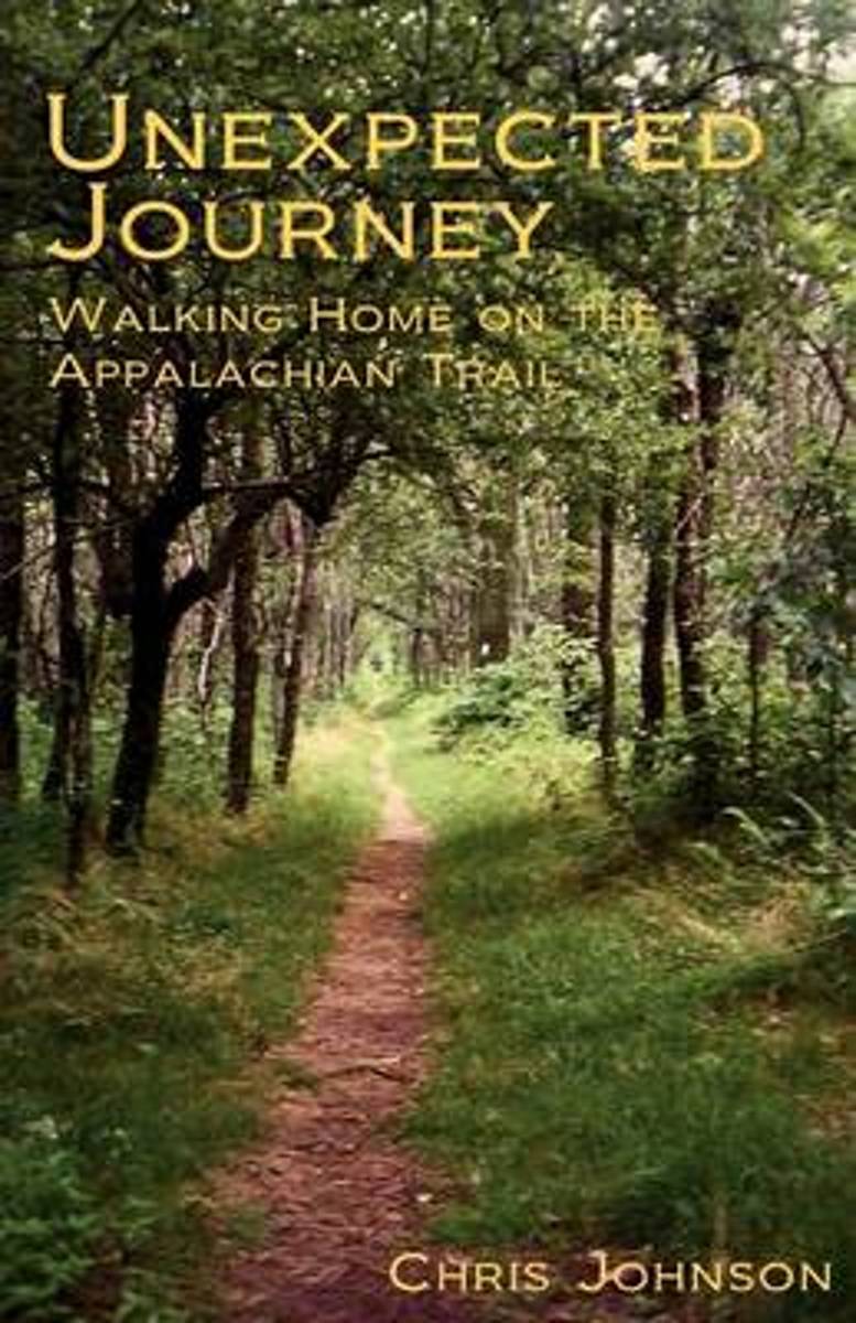
- Unexpected Journey
- At a major turning point in his life, Chris Johnson dares to throw it all away to hike the Appalachian Trail. Along the way he is met with friendships, hardships, beauty, suffering, struggle and gain, confrontations with demons both old and new, and ultimately triumph. An honest account, told from the heart, of the life-altering events... Read more
- Also available from:
- Bol.com, Belgium
Bol.com
Belgium
Belgium
- Unexpected Journey
- At a major turning point in his life, Chris Johnson dares to throw it all away to hike the Appalachian Trail. Along the way he is met with friendships, hardships, beauty, suffering, struggle and gain, confrontations with demons both old and new, and ultimately triumph. An honest account, told from the heart, of the life-altering events... Read more
Bol.com
Netherlands
Netherlands
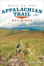
- Best of the Appalachian Trail
- A concise guide to the best day hikes along the entire Appalachian Trail.Summit the iconic Katahdin in Maine, explore Pennsylvania's Chimney Rocks, splash in Tennessee's Laurel Fork Gorge and Falls, and find out where Blood Mountain got its name in the new edition of Best of the Appalachian Trail: Day Hikes by Victoria and Frank Logue and ... Read more
- Also available from:
- Bol.com, Belgium
Bol.com
Belgium
Belgium
- Best of the Appalachian Trail
- A concise guide to the best day hikes along the entire Appalachian Trail.Summit the iconic Katahdin in Maine, explore Pennsylvania's Chimney Rocks, splash in Tennessee's Laurel Fork Gorge and Falls, and find out where Blood Mountain got its name in the new edition of Best of the Appalachian Trail: Day Hikes by Victoria and Frank Logue and ... Read more
Kaarten
De Zwerver
Netherlands
Netherlands
De Zwerver
Netherlands
Netherlands
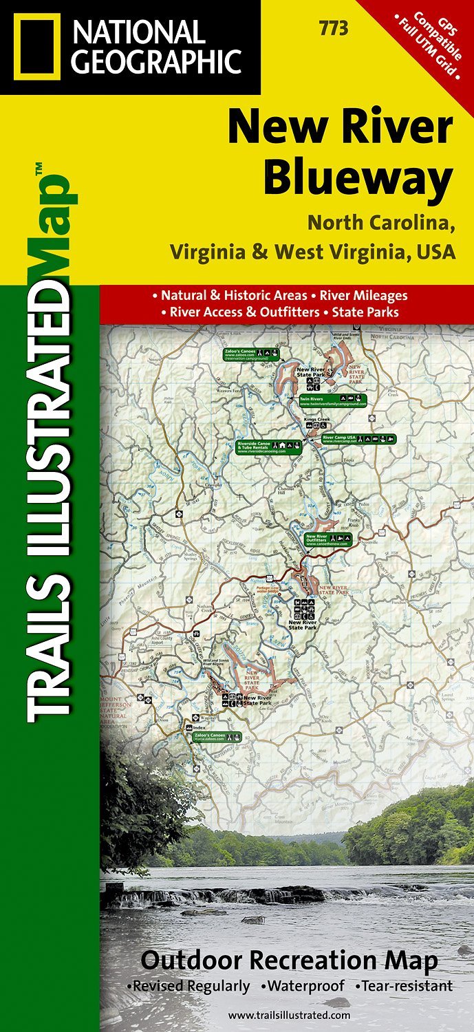
- Wandelkaart - Topografische kaart 773 New River Blueway | National Geographic
- Prachtige geplastificeerde kaart van het bekende nationaal park. Met alle recreatieve voorzieningen als campsites, maar ook met topografische details en wandelroutes ed. Door uitgekiend kleurgebruik zeer prettig in gebruik. Scheur en watervast! George Washington Nat. Forest, Jefferson Nat. Forest, New River Canoe Trail, Claytor Lake State Park,... Read more
- Also available from:
- Stanfords, United Kingdom

Stanfords
United Kingdom
United Kingdom
- New River Blueway NC/VA/WV
- Map No. 773, New River Blueway, NC/VA/WV, in an extensive series of GPS compatible, contoured hiking maps of USA’s national and state parks or forests and other popular recreational areas. Cartography based on the national topographic survey, with additional tourist information.The maps, with most titles now printed on light, waterproof and... Read more

De Zwerver
Netherlands
Netherlands
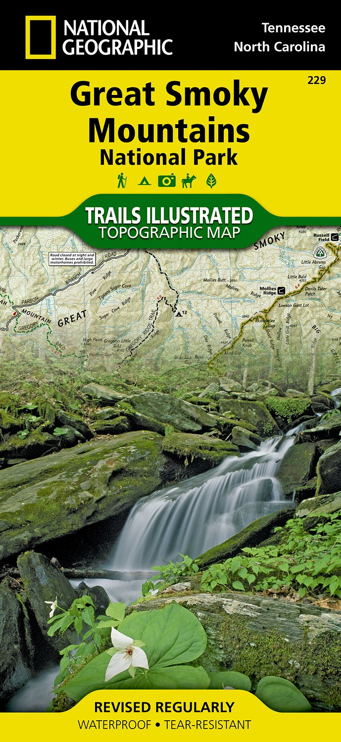
- Wandelkaart - Topografische kaart 316 Cades Cove - Elkmont - Great Smoky Mountains National Park | National Geographic
- Prachtige geplastificeerde kaart van het bekende nationaal park. Met alle recreatieve voorzieningen als campsites, maar ook met topografische details en wandelroutes ed. Door uitgekiend kleurgebruik zeer prettig in gebruik. Scheur en watervast! This title provides an increased scale of one of the most visited National Parks in the US, and one... Read more
- Also available from:
- Bol.com, Netherlands
- Bol.com, Belgium
- Stanfords, United Kingdom

Bol.com
Netherlands
Netherlands
- Cades Cove/elkmont, Great Smoky Mountains National Park
- Waterproof Tear-Resistant Topographic MapThis title provides an increased scale of one of the most visited National Parks in the US, and one of our more popular map titles. This increased scale will provide greater detail to the backcountry users and Appalachian Trail through-hikers.Park Introduction:Great Smoky Mountains National Park is... Read more
Bol.com
Belgium
Belgium
- Cades Cove/elkmont, Great Smoky Mountains National Park
- Waterproof Tear-Resistant Topographic MapThis title provides an increased scale of one of the most visited National Parks in the US, and one of our more popular map titles. This increased scale will provide greater detail to the backcountry users and Appalachian Trail through-hikers.Park Introduction:Great Smoky Mountains National Park is... Read more

Stanfords
United Kingdom
United Kingdom
- Cades Cove - Elkmont - Great Smoky Mountains National Park NC/TN
- Map No. 316, Great Smoky Mountains National Park: Cades Cove - Elkmont, NC/TN, in an extensive series of GPS compatible, contoured hiking maps of USA’s national and state parks or forests and other popular recreational areas. Cartography based on the national topographic survey, with additional tourist information.The maps, with most titles now... Read more
De Zwerver
Netherlands
Netherlands
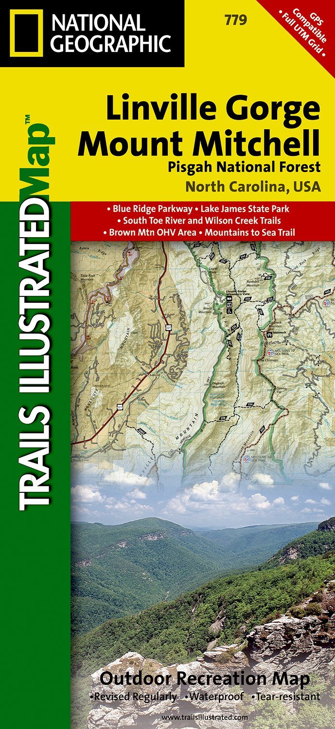
- Wandelkaart - Topografische kaart 779 Linville Gorge - Mount Mitchell - Pisgah National Forest | National Geographic
- Prachtige geplastificeerde kaart van het bekende nationaal park. Met alle recreatieve voorzieningen als campsites, maar ook met topografische details en wandelroutes ed. Door uitgekiend kleurgebruik zeer prettig in gebruik. Scheur en watervast! Coverage includes Pisgah National Forest, Grandfather Ranger District (complete) and Appalachian... Read more
- Also available from:
- Bol.com, Netherlands
- Bol.com, Belgium
- Stanfords, United Kingdom
- The Book Depository, United Kingdom
Bol.com
Netherlands
Netherlands
- Linville Gorge/mount Mitchell, Pisgah National Forest
- Waterproof Tear-Resistant Topographic MapExpertly researched and created in partnership with local land management agencies, National Geographic's Trails Illustrated map of Linville Gorge and Mount Mitchell provides an unparalleled tool for exploring these remarkable features within Pisgah National Forest. This map includes such key areas... Read more
Bol.com
Belgium
Belgium
- Linville Gorge/mount Mitchell, Pisgah National Forest
- Waterproof Tear-Resistant Topographic MapExpertly researched and created in partnership with local land management agencies, National Geographic's Trails Illustrated map of Linville Gorge and Mount Mitchell provides an unparalleled tool for exploring these remarkable features within Pisgah National Forest. This map includes such key areas... Read more

Stanfords
United Kingdom
United Kingdom
- Pisgah National Forest - Linville Gorge - Mt. Mitchell NC
- Map No. 779, Pisgah National Forest: Linville Gorge - Mt. Mitchell, NC, in an extensive series of GPS compatible, contoured hiking maps of USA’s national and state parks or forests and other popular recreational areas. Cartography based on the national topographic survey, with additional tourist information.The maps, with most titles now... Read more

The Book Depository
United Kingdom
United Kingdom
- Linville Gorge/mount Mitchell, Pisgah National Forest
- Trails Illustrated Other Rec. Areas Read more

Bol.com
Netherlands
Netherlands
- Springer & Cohutta Mountains, Chattahoochee National Forest
- Waterproof Tear-Resistant Topographic MapLocated just north of Atlanta, the Chattahoochee National Forest contains the southern terminus of the Appalachian Trail along with an abundance of recreational opportunities for outdoor enthusiasts of all interests.This detailed recreation map contains carefully researched trails, campsites,... Read more
- Also available from:
- Bol.com, Belgium
- Stanfords, United Kingdom
Bol.com
Belgium
Belgium
- Springer & Cohutta Mountains, Chattahoochee National Forest
- Waterproof Tear-Resistant Topographic MapLocated just north of Atlanta, the Chattahoochee National Forest contains the southern terminus of the Appalachian Trail along with an abundance of recreational opportunities for outdoor enthusiasts of all interests.This detailed recreation map contains carefully researched trails, campsites,... Read more

Stanfords
United Kingdom
United Kingdom
- Chattahoochee National Forest - Springer and Cohutta Mountains GA/SC 777
- Map No. 777, Chattahoochee National Forest: Springer and Cohutta Mountains, GA/SC, in an extensive series of GPS compatible, contoured hiking maps of USA’s national and state parks or forests and other popular recreational areas. Cartography based on the national topographic survey, with additional tourist information.The maps, with most titles... Read more

De Zwerver
Netherlands
Netherlands
- Wandelkaart - Topografische kaart 318 Mount Rogers High Country - Grayson Highlands State Park | National Geographic
- Prachtige geplastificeerde kaart van het bekende nationaal park. Met alle recreatieve voorzieningen als campsites, maar ook met topografische details en wandelroutes ed. Door uitgekiend kleurgebruik zeer prettig in gebruik. Scheur en watervast! National Geographic's Trails Illustrated map of Mount Rogers High Country and Grayson Highlands... Read more
- Also available from:
- Bol.com, Netherlands
- Bol.com, Belgium
- Stanfords, United Kingdom
- The Book Depository, United Kingdom

Bol.com
Netherlands
Netherlands
- Mount Rogers High Country
- Waterproof Tear-Resistant Topographic MapNational Geographic's Trails Illustrated map of Mount Rogers High Country and Grayson Highlands State Park, Southwest Virginia, is a two-sided, waterproof, topographic trail map designed to meet the needs of outdoor enthusiasts with unmatched durability and detail. This map was created in... Read more
Bol.com
Belgium
Belgium
- Mount Rogers High Country
- Waterproof Tear-Resistant Topographic MapNational Geographic's Trails Illustrated map of Mount Rogers High Country and Grayson Highlands State Park, Southwest Virginia, is a two-sided, waterproof, topographic trail map designed to meet the needs of outdoor enthusiasts with unmatched durability and detail. This map was created in... Read more

Stanfords
United Kingdom
United Kingdom
- Mount Rogers High Country VA
- Map No. 318 - Mount Rogers High Country in Virginia in an extensive series of GPS compatible, contoured hiking maps of USA’s national and state parks or forests and other popular recreational areas. Cartography based on the national topographic survey, with additional tourist information.The maps, with most titles now printed on light,... Read more

The Book Depository
United Kingdom
United Kingdom
- Mount Rogers High Country
- Trails Illustrated Other Rec. Areas Read more
De Zwerver
Netherlands
Netherlands
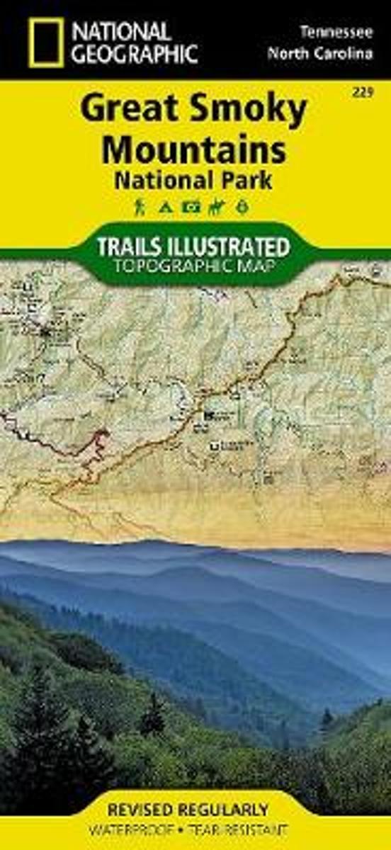
- Wandelkaart 229 Great Smoky Mountains National Park | National Geographic
- Prachtige geplastificeerde kaart van het bekende nationaal park. Met alle recreatieve voorzieningen als campsites, maar ook met topografische details en wandelroutes ed. Door uitgekiend kleurgebruik zeer prettig in gebruik. Scheur en watervast! Map No. 229, Great Smoky Mountains National Park, TN, in an extensive series of GPS compatible,... Read more
- Also available from:
- Bol.com, Netherlands
- Bol.com, Belgium
- Stanfords, United Kingdom
Bol.com
Netherlands
Netherlands
- Great Smoky Mountains National Park
- Waterproof Tear-Resistant Topographic MapAmerica's most visited national park and a UNESCO World Heritage Site, Great Smoky Mountains National Park is both renowned for its diversity of plant and animal life and rich in remnants of Southern Appalachian mountain culture. National Geographic's Trails Illustrated map of the park combines... Read more
Bol.com
Belgium
Belgium
- Great Smoky Mountains National Park
- Waterproof Tear-Resistant Topographic MapAmerica's most visited national park and a UNESCO World Heritage Site, Great Smoky Mountains National Park is both renowned for its diversity of plant and animal life and rich in remnants of Southern Appalachian mountain culture. National Geographic's Trails Illustrated map of the park combines... Read more

Stanfords
United Kingdom
United Kingdom
- Great Smoky Mountains National Park TN NGS Trails Illustrated Map 229
- Map No. 229, Great Smoky Mountains National Park, TN, in an extensive series of GPS compatible, contoured hiking maps of USA’s national and state parks or forests and other popular recreational areas. Cartography based on the national topographic survey, with additional tourist information.The maps, with most titles now printed on light,... Read more

De Zwerver
Netherlands
Netherlands
- Wandelkaart - Topografische kaart 747 Green Mountain National Forest North - Moosalamoo NRA - Rutland | National Geographic
- Prachtige geplastificeerde kaart van het bekende nationaal park. Met alle recreatieve voorzieningen als campsites, maar ook met topografische details en wandelroutes ed. Door uitgekiend kleurgebruik zeer prettig in gebruik. Scheur en watervast! National Geographic's Green Mountain National Forest North Trails Illustrated topographic map is... Read more
- Also available from:
- Bol.com, Netherlands
- Bol.com, Belgium
- Stanfords, United Kingdom
- The Book Depository, United Kingdom

Bol.com
Netherlands
Netherlands
- Green Mountains N.F., Moosalamoo NRA/Rutland
- Waterproof Tear-Resistant Topographic MapNational Geographic's Green Mountain National Forest North Trails Illustrated topographic map is the most comprehensive available for outdoor enthusiasts of all types. Designed to be easy-to-read, yet highly detailed this map includes a comprehensive road and trail network distinguishing between... Read more
Bol.com
Belgium
Belgium
- Green Mountains N.F., Moosalamoo NRA/Rutland
- Waterproof Tear-Resistant Topographic MapNational Geographic's Green Mountain National Forest North Trails Illustrated topographic map is the most comprehensive available for outdoor enthusiasts of all types. Designed to be easy-to-read, yet highly detailed this map includes a comprehensive road and trail network distinguishing between... Read more

Stanfords
United Kingdom
United Kingdom
- Green Mountain National Forest - Moosalamoo NRA - Rutland VT
- Map No. 747, Green Mountain National Forest: Moosalamoo NRA - Rutland area in Vermont, in an extensive series of GPS compatible, contoured hiking maps of USA’s national and state parks or forests and other popular recreational areas. Cartography based on the national topographic survey, with additional tourist information.The maps, with most... Read more

The Book Depository
United Kingdom
United Kingdom
- Green Mountains N.f., Moosalamoo Nra/rutland
- Trails Illustrated Other Rec. Areas Read more