
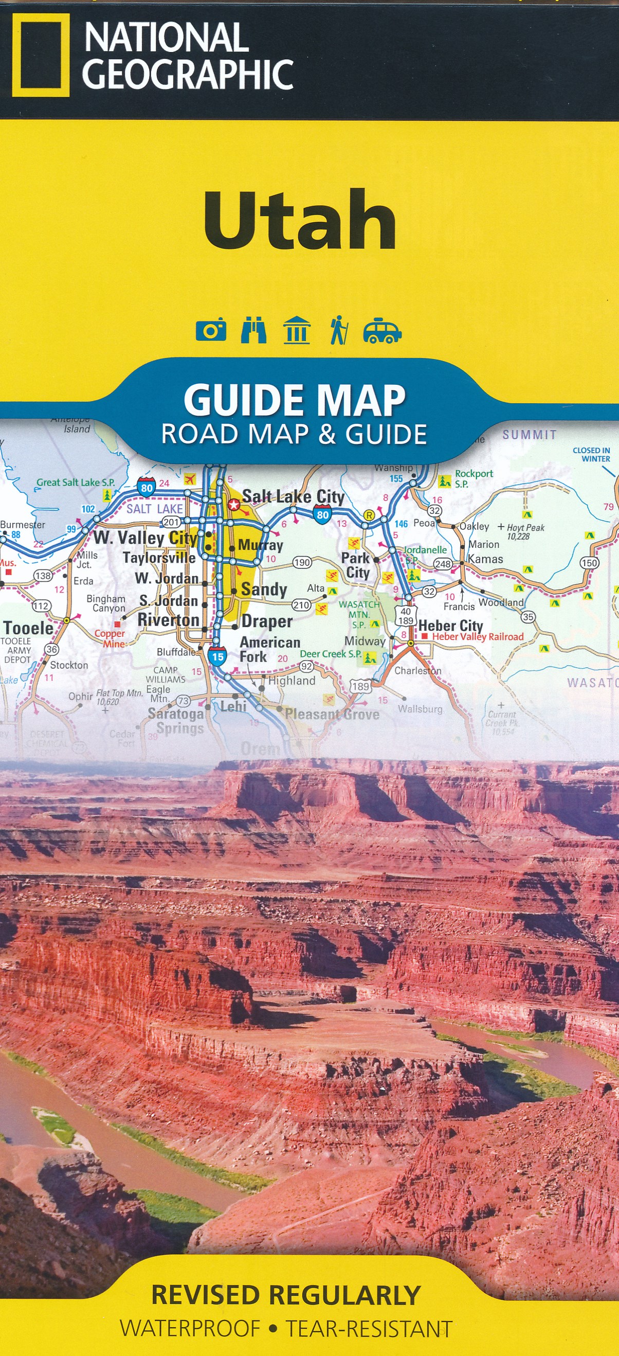
Utah
Beschrijving
Utah is a beautiful state and very good for hiking, since over 60 percent is public land. Utah offers desert, deep canyons and arches, and for those who want to escape the dry land there are the high mountains.
It's main hiking asset is the Great Western Trail, running from north to south from Canada to Mexico. The trail hits a number of national parks and forests which offer good for hiking in their own right: Wasatch-Cache National Forest close to Salt Lake City. Uinta National Forest, Manti-LaSal National Forest, Fishlake National Forest, Capitol Reef National Park, Dixie National Forest, Bryce Canyon National Park and Canyonlands National Park.
The American Discovery Trail crosses Utah. The Bonneville Shoreline Trail (90 miles) follows the shoreline of an ancient lake.
Kaart

Paden in deze landsdeel
Links
Feiten
Verslagen
Gidsen en kaarten
Overnachting
Organisaties
Reisorganisaties
GPS
Anders
Boeken

Netherlands
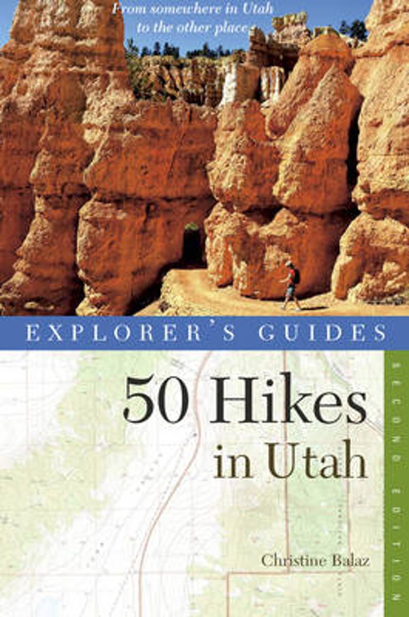
- Explorer's Guide 50 Hikes in Utah
- Lace up your boots, grab this guide, and explore the great outdoors!For first-time visitors and longtime residents alike, here is Utah's ultimate day-hike companion. Experience the fullness of Utah's magnificent outdoors, on hikes designed to be completed within a few hours. Complete with photographs, descriptions of local flora, fauna,... Read more
- Also available from:
- Bol.com, Belgium
- The Book Depository, United Kingdom
Belgium
- Explorer's Guide 50 Hikes in Utah
- Lace up your boots, grab this guide, and explore the great outdoors!For first-time visitors and longtime residents alike, here is Utah's ultimate day-hike companion. Experience the fullness of Utah's magnificent outdoors, on hikes designed to be completed within a few hours. Complete with photographs, descriptions of local flora, fauna,... Read more

United Kingdom
- Explorer's Guide 50 Hikes in Utah
- Day Hikes from the Red Rocks Deserts to the Unita and Wasatch Mountains Read more

Netherlands
- Consider the Lilies
- CONSIDER THE LILIES is Moody L Hobson's first novel which takes the reader to the arrid, fascinating land of Utah and into Mormon country. As an outsider of this exclusive community, Lillian Fleming who is a mental health therapist, exists in her own tortured world. While providing counsel for others, she is plagued by memories of her childhood... Read more
- Also available from:
- Bol.com, Belgium
Belgium
- Consider the Lilies
- CONSIDER THE LILIES is Moody L Hobson's first novel which takes the reader to the arrid, fascinating land of Utah and into Mormon country. As an outsider of this exclusive community, Lillian Fleming who is a mental health therapist, exists in her own tortured world. While providing counsel for others, she is plagued by memories of her childhood... Read more
Netherlands
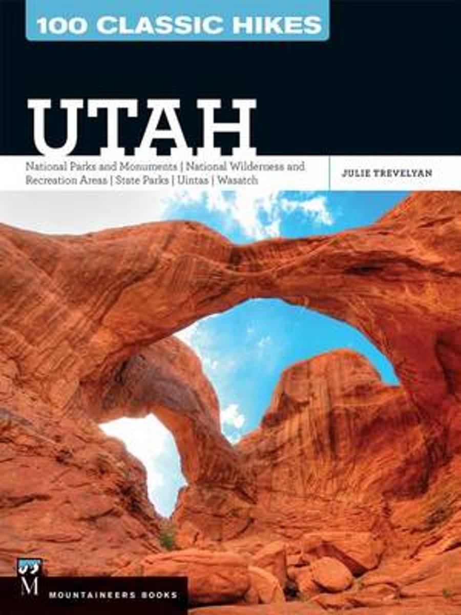
- 100 Classic Hikes Utah
- Only the best hikes selected from a state with an abundance of trail riches Utah is a national destination for hikers Hikes range from easy day hikes to more challenging backpacking trips 100 Classic Hikes: Utah expands Mountaineers Books' most popular hiking guidebook series. Like the other titles in the series, this new addition is... Read more
- Also available from:
- Bol.com, Belgium
Belgium
- 100 Classic Hikes Utah
- Only the best hikes selected from a state with an abundance of trail riches Utah is a national destination for hikers Hikes range from easy day hikes to more challenging backpacking trips 100 Classic Hikes: Utah expands Mountaineers Books' most popular hiking guidebook series. Like the other titles in the series, this new addition is... Read more
Netherlands
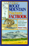
- The Great Rocky Mountain Nature Factbook
- Discover the amazing natural world of the Rocky Mountains in this engaging, in-depth guide that covers animals, plants and natural features including geography and geology. The Rocky Mountains are an immense 10,000 mile-long assemblage of mountain ranges stretching all the way from Alaska through South America. This informative book encompasses... Read more
- Also available from:
- Bol.com, Belgium
Belgium
- The Great Rocky Mountain Nature Factbook
- Discover the amazing natural world of the Rocky Mountains in this engaging, in-depth guide that covers animals, plants and natural features including geography and geology. The Rocky Mountains are an immense 10,000 mile-long assemblage of mountain ranges stretching all the way from Alaska through South America. This informative book encompasses... Read more
Netherlands
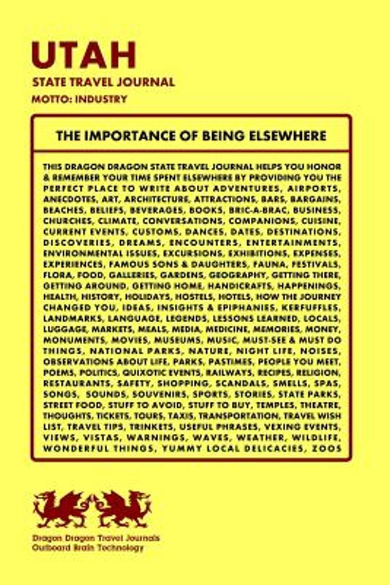
- Utah State Travel Journal, Motto
- Here s the Dragon Dragon Travel Journal deal.You wander the world having adventures, and such. Dragon Dragon offers you 200 pages to document your travels, and such. That s it. Simple. Beautiful. True.To help keep things organized, we ve given each journal a unique continent, country or city name.Wherever you go in this life, a Dragon Dragon... Read more
- Also available from:
- Bol.com, Belgium
Belgium
- Utah State Travel Journal, Motto
- Here s the Dragon Dragon Travel Journal deal.You wander the world having adventures, and such. Dragon Dragon offers you 200 pages to document your travels, and such. That s it. Simple. Beautiful. True.To help keep things organized, we ve given each journal a unique continent, country or city name.Wherever you go in this life, a Dragon Dragon... Read more
Netherlands
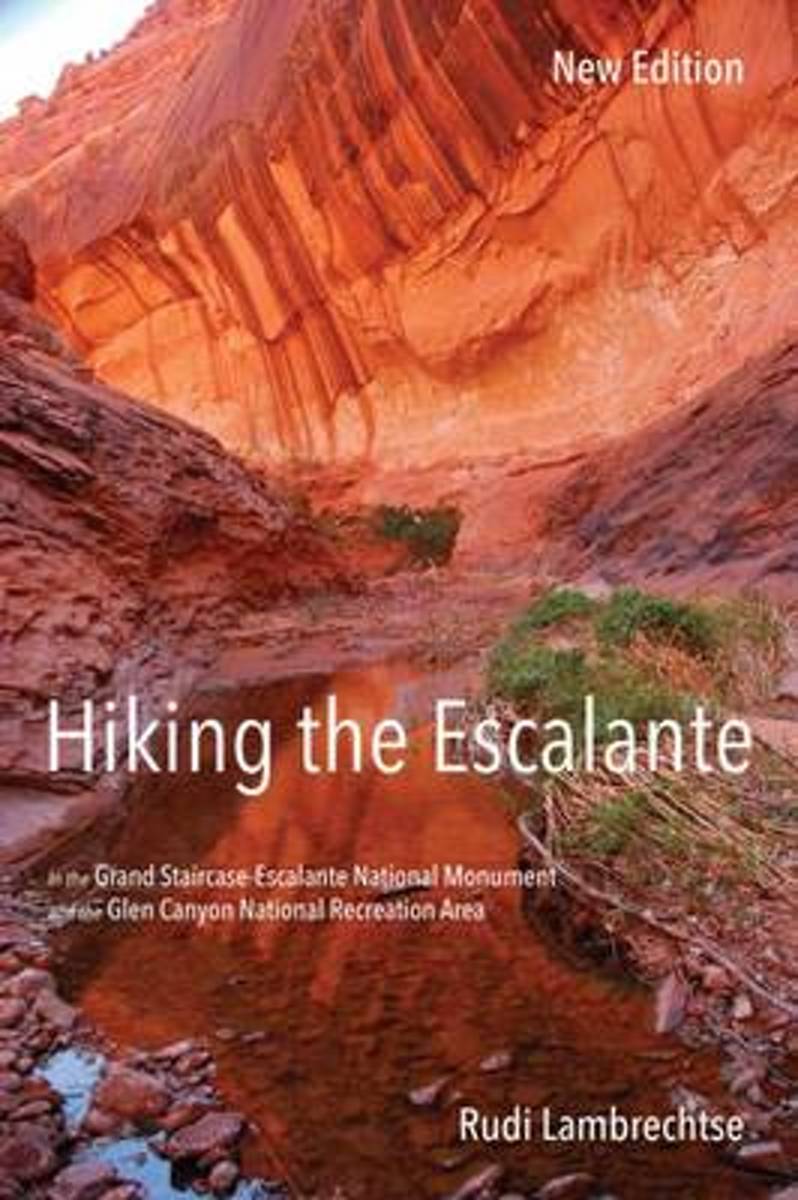
- Hiking the Escalante
- The Grand Staircase-Escalante National Monument covers 1.7 million acres in southern Utah, offering the hiker an experience of deep solitude surrounded by a wealth of geological, biological, and archaeological treasures. Hiking the Escalante opens the door to exploration of this highly scenic area of meandering canyons with relatively few... Read more
- Also available from:
- Bol.com, Belgium
Belgium
- Hiking the Escalante
- The Grand Staircase-Escalante National Monument covers 1.7 million acres in southern Utah, offering the hiker an experience of deep solitude surrounded by a wealth of geological, biological, and archaeological treasures. Hiking the Escalante opens the door to exploration of this highly scenic area of meandering canyons with relatively few... Read more
Netherlands
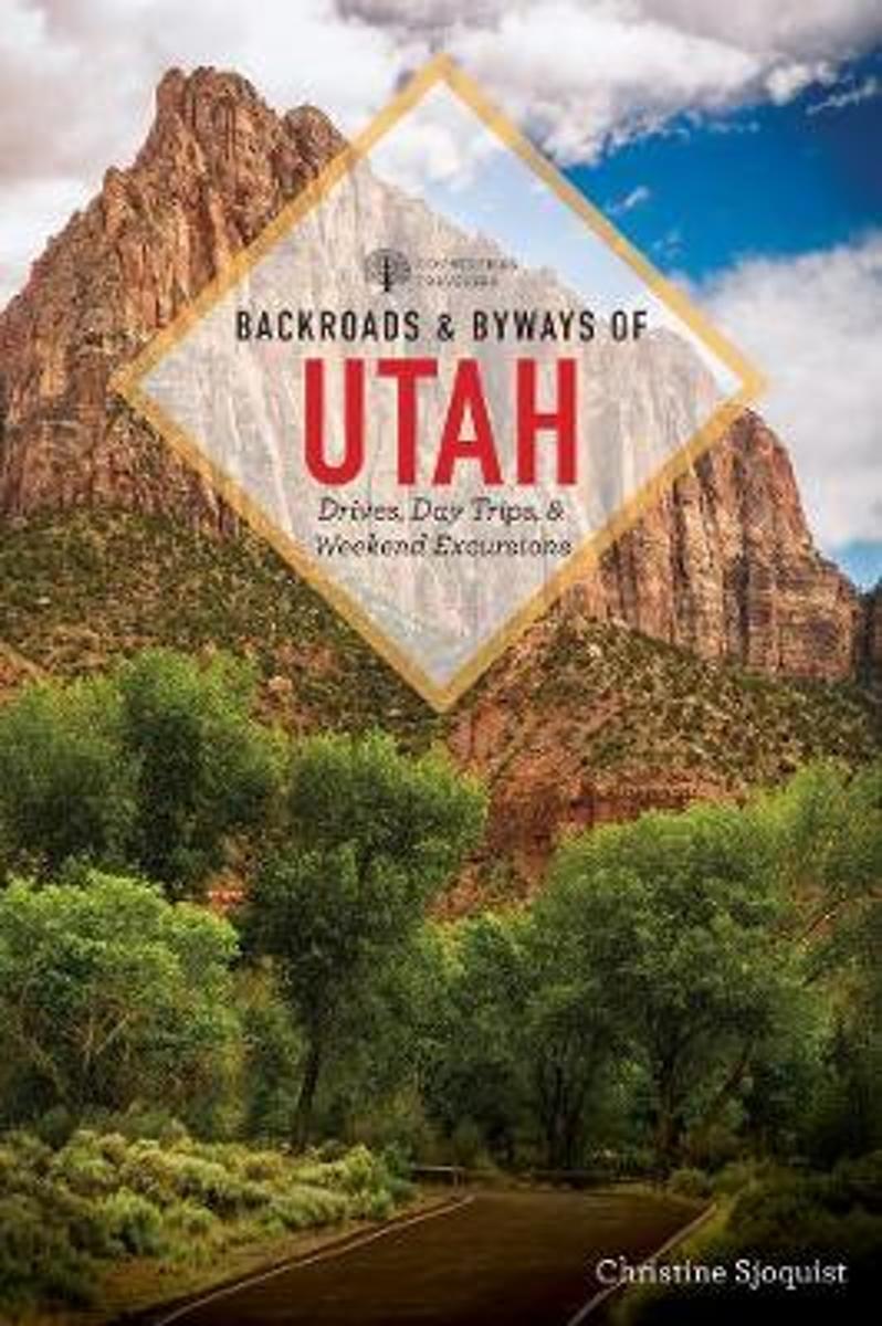
- Backroads and Byways of Utah 2e
- Visit the vast open lands and widely varied terrain of Utah. These routes are some of the most interesting, beautiful, visually diverse, and historically and culturally relevant sections of road and points of interest in this great state. Tall mountain peaks, broad valleys, high plains, many varieties of desert-Utah's landscapes are as dynamic... Read more
- Also available from:
- Bol.com, Belgium
Belgium
- Backroads and Byways of Utah 2e
- Visit the vast open lands and widely varied terrain of Utah. These routes are some of the most interesting, beautiful, visually diverse, and historically and culturally relevant sections of road and points of interest in this great state. Tall mountain peaks, broad valleys, high plains, many varieties of desert-Utah's landscapes are as dynamic... Read more
Netherlands
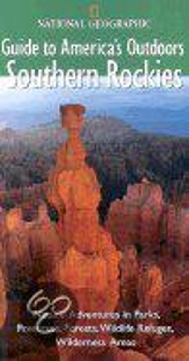
- National Geographics Guide to Americas Outdoors Southern Rockies
- National Geographic Guide to America's Outdoors Southern Rockies Colorado Utah With Northern Arizona, northern New Mexico, and southwestern Wyoming In this practical, informative, richly illustrated guide, National Geographic takes you to the best nature sites in the southern Rockies and tells you what you need to know -- about the landscape,... Read more
- Also available from:
- Bol.com, Belgium
Belgium
- National Geographics Guide to Americas Outdoors Southern Rockies
- National Geographic Guide to America's Outdoors Southern Rockies Colorado Utah With Northern Arizona, northern New Mexico, and southwestern Wyoming In this practical, informative, richly illustrated guide, National Geographic takes you to the best nature sites in the southern Rockies and tells you what you need to know -- about the landscape,... Read more
Netherlands
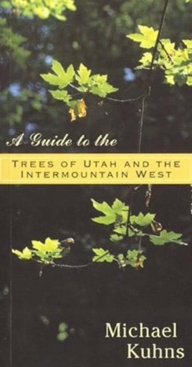
- Guide to the Trees of Utah & the Intermountain West
- Accessible and informative, this comprehensive guide to the all native and introduced trees of the Intermountain West is a welcome addition to the library of the homeowner, landscaper, recreationist, traveler, or student in this large and unique region of the American Rocky Mountain West. Includes identification keys and hundreds of... Read more
- Also available from:
- Bol.com, Belgium
Belgium
- Guide to the Trees of Utah & the Intermountain West
- Accessible and informative, this comprehensive guide to the all native and introduced trees of the Intermountain West is a welcome addition to the library of the homeowner, landscaper, recreationist, traveler, or student in this large and unique region of the American Rocky Mountain West. Includes identification keys and hundreds of... Read more

Netherlands
- When Man Becomes Prey
- Sam Ives s family set up camp in a Utah campground, cooked dinner, cleaned up and packed their gear away, and climbed into their multi-chambered tent to sleep. It was a great end to Father s Day. Eleven-year-old Sam crawled into the smaller compartment of the two-room tent. Without his parents knowing it, Sam ate a granola bar and placed the... Read more
- Also available from:
- Bol.com, Belgium
Belgium
- When Man Becomes Prey
- Sam Ives s family set up camp in a Utah campground, cooked dinner, cleaned up and packed their gear away, and climbed into their multi-chambered tent to sleep. It was a great end to Father s Day. Eleven-year-old Sam crawled into the smaller compartment of the two-room tent. Without his parents knowing it, Sam ate a granola bar and placed the... Read more
Kaarten
Netherlands
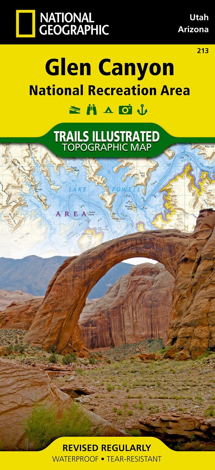
- Wandelkaart - Topografische kaart 213 Glen Canyon National Recreation Area | National Geographic
- Prachtige geplastificeerde kaart van het nationaal park. Met alle recreatieve voorzieningen als campsites, maar ook met topografische details en wandelroutes ed. Door uitgekiend kleurgebruik zeer prettig in gebruik. Scheur en watervast! Our Glen Canyon NRA and Rainbow Bridge NM Trails Illustrated map provides detailed topographic coverage,... Read more
- Also available from:
- Stanfords, United Kingdom

United Kingdom
- Glen Canyon NRA - Capitol Reef NP UT/AZ
- Map No. 213, Glen Canyon National Recreation Area/Capitol Reef National Park, UT/AZ, in an extensive series of GPS compatible, contoured hiking maps of USA’s national and state parks or forests and other popular recreational areas. Cartography based on the national topographic survey, with additional tourist information.The maps, with most... Read more
Netherlands
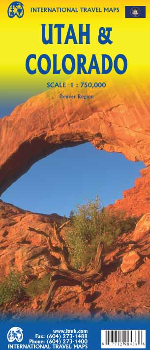
- Wegenkaart - landkaart Utah & Colorado | ITMB
- Colorado/Utah 1:750.000 ab 10.49 EURO International Travel Map ITM. 1st edition Read more

Netherlands
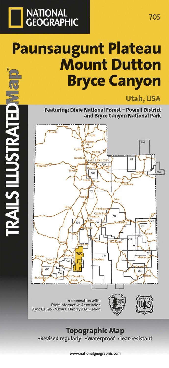
- Wandelkaart - Topografische kaart 705 Paunsaugunt Plateau - Mount Dutton - Bryce Canyon | National Geographic
- Prachtige geplastificeerde kaart van het bekende nationaal park. Met alle recreatieve voorzieningen als campsites, maar ook met topografische details en wandelroutes ed. Door uitgekiend kleurgebruik zeer prettig in gebruik. Scheur en watervast! Coverage includes Dixie National Forest. Bryce Canyon National Park; Paunsaugunt Plateau; Red Canyon,... Read more
- Also available from:
- Stanfords, United Kingdom

United Kingdom
- Paunsaugunt Plateau - Mount Dutton - Bryce Canyon UT NGS Trails Illustrated Map 705
- Map No. 705, Paunsaugunt Plateau - Mount Dutton - Bryce Canyon in Utah in an extensive series of GPS compatible, contoured hiking maps of USA’s national and state parks or forests and other popular recreational areas. Cartography based on the national topographic survey, with additional tourist information.The maps, with most titles now printed... Read more
Netherlands
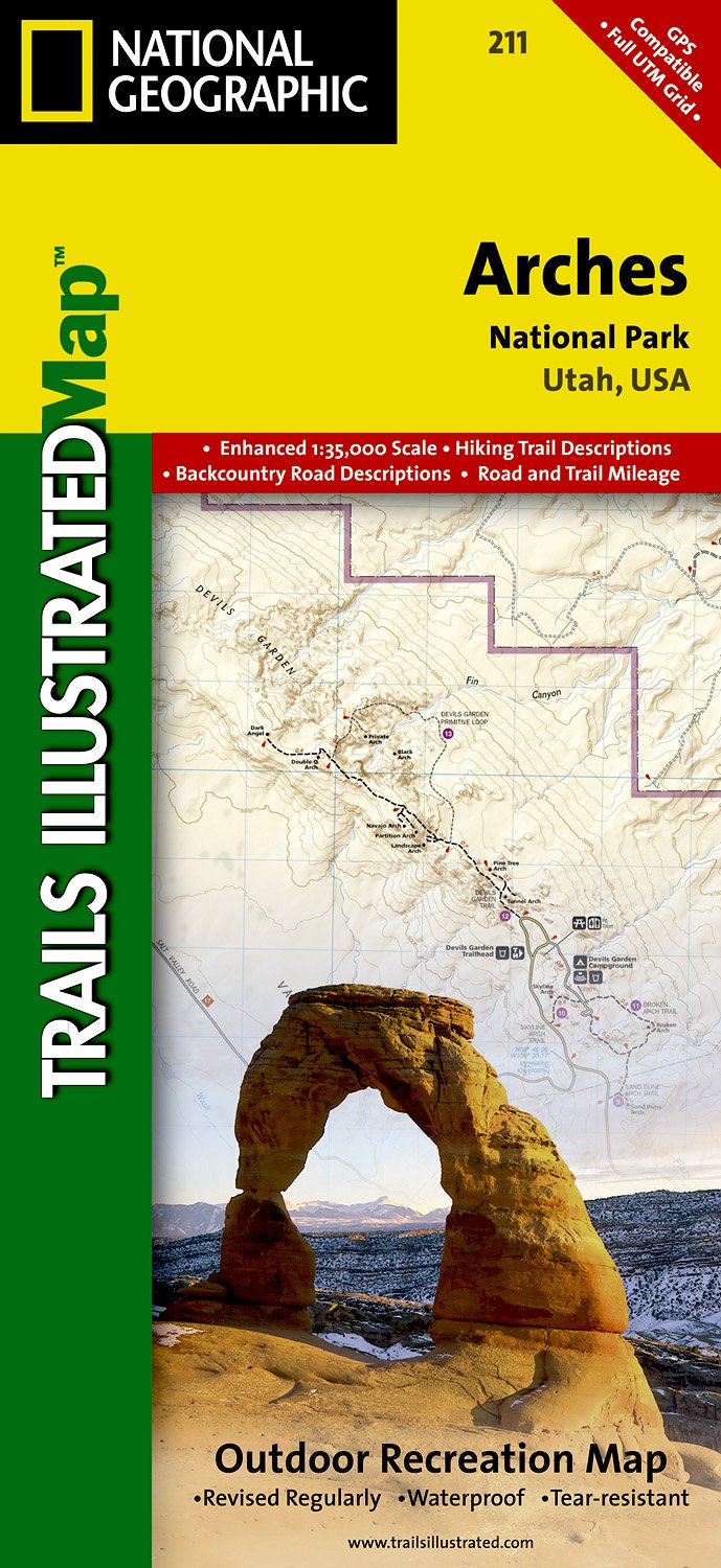
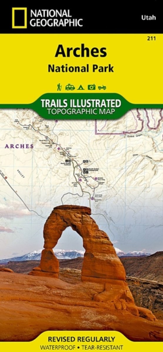
- Wandelkaart - Topografische kaart 211 Arches National Park | National Geographic
- Prachtige geplastificeerde kaart van het nationaal park. Met alle recreatieve voorzieningen als campsites, maar ook met topografische details en wandelroutes ed. Door uitgekiend kleurgebruik zeer prettig in gebruik. Scheur en watervast! Trails Illustrated maps are the most trusted and popular recreation maps available. Continually setting the... Read more
- Also available from:
- Bol.com, Netherlands
- Bol.com, Belgium
- Stanfords, United Kingdom
Netherlands
- Arches National Park
- Waterproof Tear-Resistant Topographic MapThis map is updated to reflect road closings, new trails, and campground relocation, and includes detailed trail information, points of interest, trailheads, picnic areas, facilities, and more. Included on the map are Arches National Park, The Highlands, Little Valley, Devils Garden, Lost Spring... Read more
Belgium
- Arches National Park
- Waterproof Tear-Resistant Topographic MapThis map is updated to reflect road closings, new trails, and campground relocation, and includes detailed trail information, points of interest, trailheads, picnic areas, facilities, and more. Included on the map are Arches National Park, The Highlands, Little Valley, Devils Garden, Lost Spring... Read more

United Kingdom
- Arches National Park UT NGS Trails Illustrated Map 211
- Map No. 211, Arches National Park, UT, in an extensive series of GPS compatible, contoured hiking maps of USA’s national and state parks or forests and other popular recreational areas. Cartography based on the national topographic survey, with additional tourist information.The maps, with most titles now printed on light, waterproof and... Read more
Netherlands
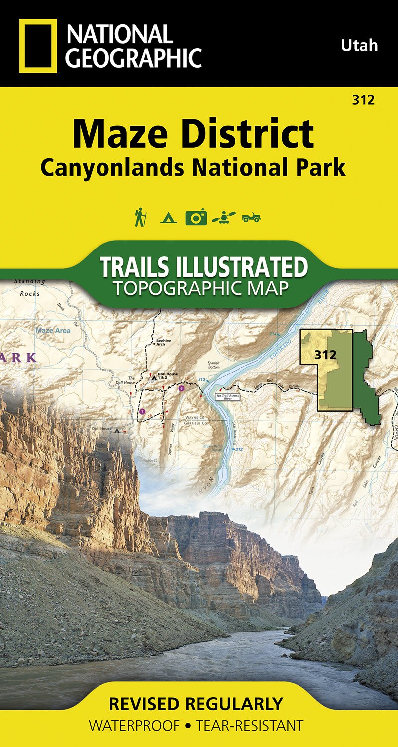
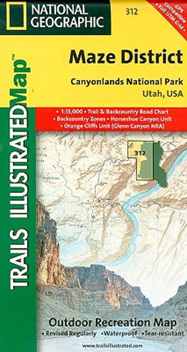
- Wandelkaart - Topografische kaart 312 Maze District - Canyonlands National Park | National Geographic
- Prachtige geplastificeerde kaart van het bekende nationaal park. Met alle recreatieve voorzieningen als campsites, maar ook met topografische details en wandelroutes ed. Door uitgekiend kleurgebruik zeer prettig in gebruik. Scheur en watervast! This sectional map of Canyonlands National Park zooms in on the Maze District in the western area of... Read more
- Also available from:
- Bol.com, Netherlands
- Bol.com, Belgium
- Stanfords, United Kingdom
Netherlands
- Maze District Canyonlands National Park
- Waterproof Tear-Resistant Topographic MapThis sectional map of Canyonlands National Park zooms in on the Maze District in the western area of the park. This map provides more detail of this area than the full Canyonlands National Park map with an enhanced scale. The map includes trail and backcountry road charts, backcountry zones and... Read more
Belgium
- Maze District Canyonlands National Park
- Waterproof Tear-Resistant Topographic MapThis sectional map of Canyonlands National Park zooms in on the Maze District in the western area of the park. This map provides more detail of this area than the full Canyonlands National Park map with an enhanced scale. The map includes trail and backcountry road charts, backcountry zones and... Read more

United Kingdom
- Maze District - Canyonlands UT
- Map No. 312, Canyonlands: Maze District, UT, in an extensive series of GPS compatible, contoured hiking maps of USA’s national and state parks or forests and other popular recreational areas. Cartography based on the national topographic survey, with additional tourist information.The maps, with most titles now printed on light, waterproof and... Read more
Netherlands
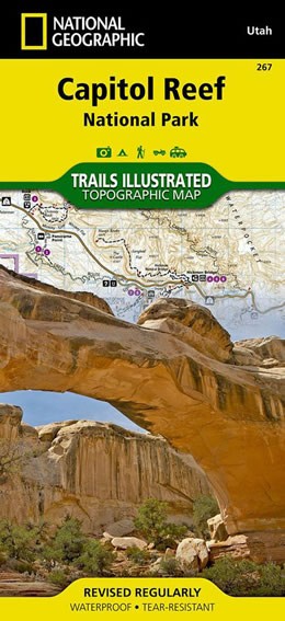
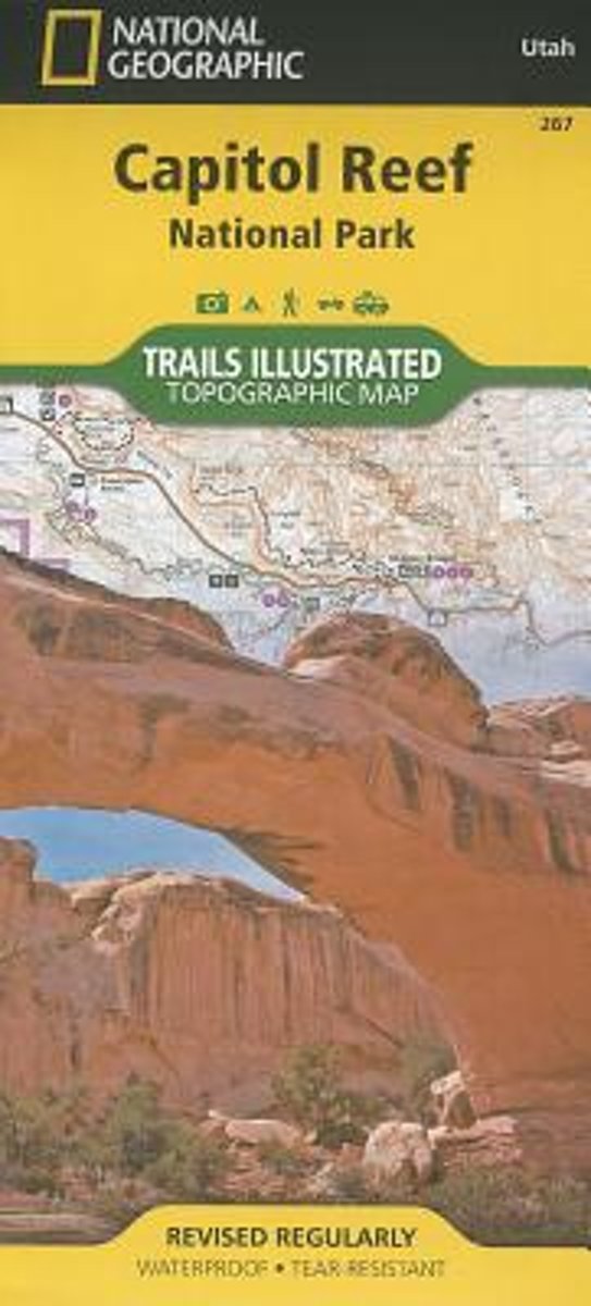
- Wandelkaart 267 Capitol Reef National Park | National Geographic
- Map No. 267, Capitol Reef National Park in Utah at 1:75,000 in an extensive series of GPS compatible, contoured hiking maps of USA Read more
- Also available from:
- Bol.com, Netherlands
- Bol.com, Belgium
- Stanfords, United Kingdom
Netherlands
- Capitol Reef National Park
- Waterproof Tear-Resistant Topographic MapNational Geographic's Trails Illustrated map of Capitol Reef National Park is a two-sided, waterproof map designed to meet the needs of outdoor enthusiasts with unmatched durability, detail, and up-to-date recreation information.The front side of the map details the topography, four wheel drive... Read more
Belgium
- Capitol Reef National Park
- Waterproof Tear-Resistant Topographic MapNational Geographic's Trails Illustrated map of Capitol Reef National Park is a two-sided, waterproof map designed to meet the needs of outdoor enthusiasts with unmatched durability, detail, and up-to-date recreation information.The front side of the map details the topography, four wheel drive... Read more

United Kingdom
- Capitol Reef National Park UT NGS Trails Illustrated Map 267
- Map No. 267, Capitol Reef National Park in Utah at 1:75,000 in an extensive series of GPS compatible, contoured hiking maps of USA’s national and state parks or forests and other popular recreational areas. Cartography based on the national topographic survey, with additional tourist information.The maps, with most titles now printed on light,... Read more
.jpg)
Netherlands
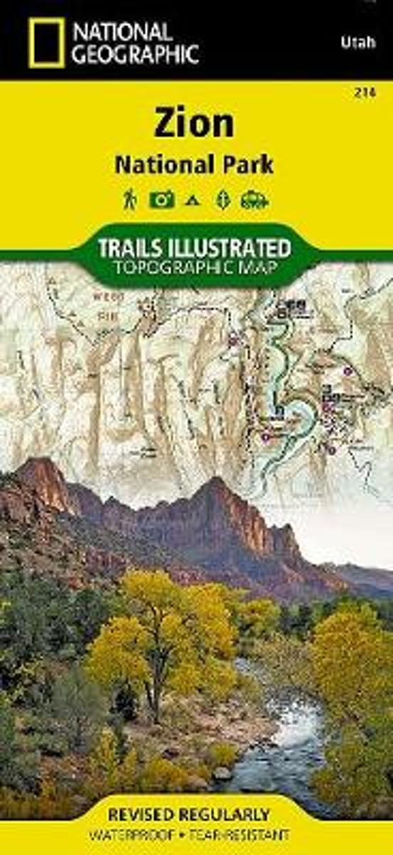
- Wandelkaart - Topografische kaart 214 Zion National Park | National Geographic
- Prachtige geplastificeerde kaart van het bekende nationaal park. Met alle recreatieve voorzieningen als campsites, maar ook met topografische details en wandelroutes ed. Door uitgekiend kleurgebruik zeer prettig in gebruik. Scheur en watervast! This National Geographic Trails Illustrated folded map offers comprehensive coverage of Zion National... Read more
- Also available from:
- Bol.com, Netherlands
- Bol.com, Belgium
- Stanfords, United Kingdom
- The Book Depository, United Kingdom
Netherlands
- Zion National Park
- Waterproof Tear-Resistant Topographic MapExplore the beauty and geological wonder of Utah's first national park with National Geographic's Trails Illustrated map of Zion National Park. Created in partnership with local land management agencies, this expertly researched map combines unmatched detail with useful information to help you get... Read more
Belgium
- Zion National Park
- Waterproof Tear-Resistant Topographic MapExplore the beauty and geological wonder of Utah's first national park with National Geographic's Trails Illustrated map of Zion National Park. Created in partnership with local land management agencies, this expertly researched map combines unmatched detail with useful information to help you get... Read more

United Kingdom
- Zion National Park UT NGS Trails Illustrated Map 214
- Map No. 214, Zion National Park, UT, in an extensive series of GPS compatible, contoured hiking maps of USA’s national and state parks or forests and other popular recreational areas. Cartography based on the national topographic survey, with additional tourist information.The maps, with most titles now printed on light, waterproof and... Read more


Netherlands
- Wandelkaart - Topografische kaart 219 Bryce Canyon National Park | National Geographic
- Prachtige geplastificeerde kaart van het bekende nationaal park. Met alle recreatieve voorzieningen als campsites, maar ook met topografische details en wandelroutes ed. Door uitgekiend kleurgebruik zeer prettig in gebruik. Scheur en watervast! This informative Trails Illustrated map will help you plan trips and explore the area in and around... Read more
- Also available from:
- Bol.com, Netherlands
- Bol.com, Belgium
- Stanfords, United Kingdom
- The Book Depository, United Kingdom

Netherlands
- Bryce Canyon National Park
- Waterproof Tear-Resistant Topographic MapNational Geographic's Trails Illustrated map of Bryce Canyon National Park is designed to meet the needs of outdoor enthusiasts by combining valuable information with unmatched detail of this unique landscape of hoodoos and forest. Created in partnership with local land management agencies, this... Read more
Belgium
- Bryce Canyon National Park
- Waterproof Tear-Resistant Topographic MapNational Geographic's Trails Illustrated map of Bryce Canyon National Park is designed to meet the needs of outdoor enthusiasts by combining valuable information with unmatched detail of this unique landscape of hoodoos and forest. Created in partnership with local land management agencies, this... Read more

United Kingdom
- Bryce Canyon National Park UT NGS Trails Illustrated Map 219
- Map No. 219, Bryce Canyon National Park, UT, in an extensive series of GPS compatible, contoured hiking maps of USA’s national and state parks or forests and other popular recreational areas. Cartography based on the national topographic survey, with additional tourist information.The maps, with most titles now printed on light, waterproof and... Read more

United Kingdom
- Bryce Canyon National Park
- Trails Illustrated National Parks Read more

Netherlands
- Wandelkaart 262 Grand Canyon East - Oost | National Geographic
- Prachtige geplastificeerde kaart van het nationaal park. Met alle recreatieve voorzieningen als campsites, maar ook met topografische details en wandelroutes ed. Door uitgekiend kleurgebruik zeer prettig in gebruik. Scheur en watervast! Grand Canyon East (#262) and Grand Canyon West (#263) combine to cover the entire Grand Canyon National Park... Read more
- Also available from:
- Bol.com, Netherlands
- Bol.com, Belgium

Netherlands
- Grand Canyon East
- Waterproof Tear-Resistant Topographic MapGrand Canyon East (#262) and Grand Canyon West (#263) combine to cover the entire Grand Canyon National Park and its bordering public lands. Both maps contain detailed and easy-to-read trail and road networks, locations of facilities, points of interest, and highly accurate terrain with thousands... Read more
Belgium
- Grand Canyon East
- Waterproof Tear-Resistant Topographic MapGrand Canyon East (#262) and Grand Canyon West (#263) combine to cover the entire Grand Canyon National Park and its bordering public lands. Both maps contain detailed and easy-to-read trail and road networks, locations of facilities, points of interest, and highly accurate terrain with thousands... Read more
Netherlands
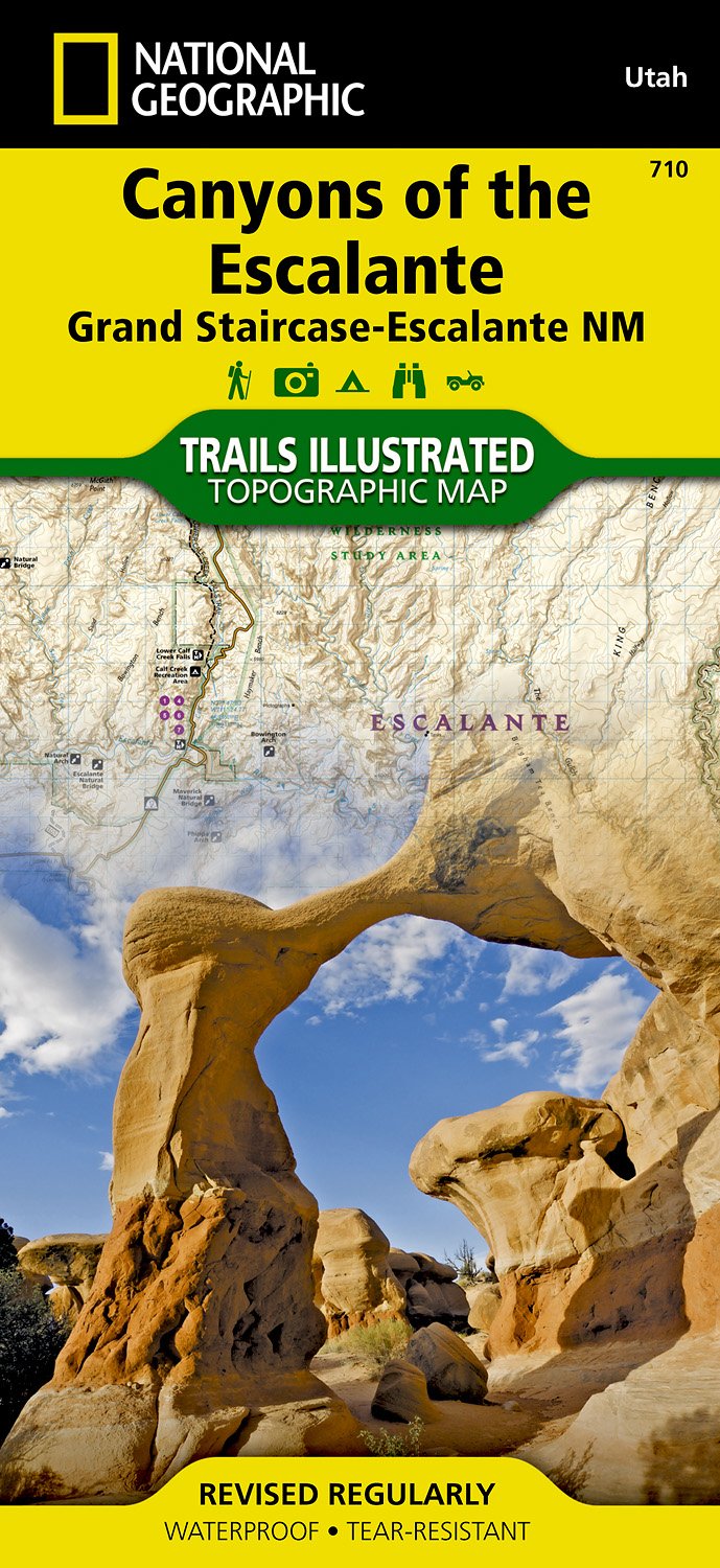
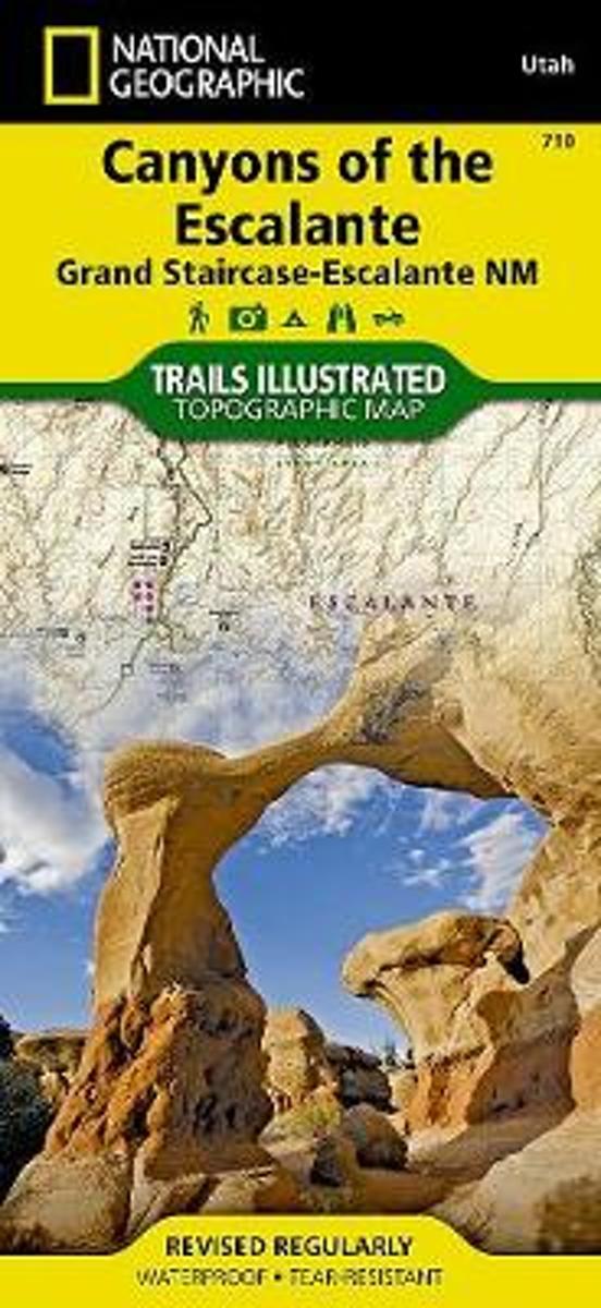
- Wandelkaart - Topografische kaart 710 Canyons of the Escalante - Grand Staircase-Escalante National Monument | National Geographic
- Prachtige geplastificeerde kaart van het bekende nationaal park. Met alle recreatieve voorzieningen als campsites, maar ook met topografische details en wandelroutes ed. Door uitgekiend kleurgebruik zeer prettig in gebruik. Scheur en watervast! Coverage includes BLM - Escalante Resource Area, Dixie National Forest, Glen Canyon National... Read more
- Also available from:
- Bol.com, Netherlands
- Bol.com, Belgium
- Stanfords, United Kingdom
Netherlands
- Canyons Of The Escalante
- Waterproof Tear-Resistant Topographic MapAt over 1.7 million acres, Grand Staircase-Escalante National Monument encompasses the largest land area of all national monuments in the United States. National Geographic's Trails Illustrated map of Canyons of the Escalante delivers unmatched detail and valuable information to assist you in your... Read more
Belgium
- Canyons Of The Escalante
- Waterproof Tear-Resistant Topographic MapAt over 1.7 million acres, Grand Staircase-Escalante National Monument encompasses the largest land area of all national monuments in the United States. National Geographic's Trails Illustrated map of Canyons of the Escalante delivers unmatched detail and valuable information to assist you in your... Read more

United Kingdom
- Canyons of the Escalante UT
- Map No. 710, Canyons of the Escalante, UT, in an extensive series of GPS compatible, contoured hiking maps of USA’s national and state parks or forests and other popular recreational areas. Cartography based on the national topographic survey, with additional tourist information.The maps, with most titles now printed on light, waterproof and... Read more

United Kingdom
- Fish Lake - Manti UT
- Map No. 707, Fish Lake - Capitol Reef are un Utah at 1:90,000 in an extensive series of GPS compatible, contoured hiking maps of USA’s national and state parks or forests and other popular recreational areas. Cartography based on the national topographic survey, with additional tourist information.The maps, with most titles now printed on... Read more

United Kingdom
2014
- Normandy D-Day - 6 June 1944 IGN Map
- Commemorative map from the IGN for the 70th anniversary of the D-Day landings in Normandy on 6th June 1944, presenting in three large panels various grouping of the Allied Armies and the defending German forces, the changes in the front lines between 6th June and 18th August, and present day commemorative sites and monuments, plus additional... Read more

United Kingdom
- Las Vegas Borch
- Very clear, indexed tourist street plan of the city on durable, laminated paper, with additional maps of the surrounding area and the Grand Canyon. The main map includes the Strip, Interstate 15 to the west, Downtown, the international airport, and much of the Winchester district east of the Strip. Detail includes one-way streets, casinos,... Read more