
Appalachian Trail
Beschrijving
- Name Appalachian Trail (AT)
- Lengte van pad 3,476 km, 2,160 mijl
- Lengte in dagen 180 dagen
- Traildino graad SW, Inspannende wandeling, bergpad
- Huttentrektocht graad T2, Bergtocht
 The Appalachian Trail is the oldest and most famous long distance hike in the U.S. It follows the Appalachian mountain range through 14 eastern states. An estimated 10,000 thru-hikers have finished the Appalachian Trail. It is possible to thru-hike it in one season. The 2160 miles (3480 km) can be completed in 47 days, 13 hours and 31 minutes (Andrew Thompson did it in 2005).
Kaart


Links
Feiten
Verslagen
Gidsen en kaarten
Overnachting
Organisaties
Reisorganisaties
GPS
Anders
Boeken

De Zwerver
Netherlands
Netherlands


De Zwerver
Netherlands
2018
Netherlands
2018
- Wandelgids USA: Appalachian Trail | Conrad Stein Verlag
- Handzame overzichtsgids van deze geweldige en uitdagende lange afstands wandeling in het oosten van de USA: de Appalachian Trail. Het is een ideale gids om de hele tocht voor te bereiden en als basisgids bij je te hebben. Goede beschrijvingen van etappes en veel praktische informatie. Het enige wat mager is zijn dekaarten: goed voor overzicht... Read more

Bol.com
Netherlands
Netherlands
- Walkin' with the Ghost Whisperers
- Three-time thru-hiker J. R. Tate explores the traditions and lore of the Appalachian Trail. Read more
- Also available from:
- Bol.com, Belgium
- The Book Depository, United Kingdom
Bol.com
Belgium
Belgium
- Walkin' with the Ghost Whisperers
- Three-time thru-hiker J. R. Tate explores the traditions and lore of the Appalachian Trail. Read more

The Book Depository
United Kingdom
United Kingdom
- Walkin' with the Ghost Whisperers
- Lore and Legends of the Appalachian Trail Read more
Bol.com
Netherlands
Netherlands
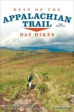
- Best of the Appalachian Trail
- A concise guide to the best day hikes along the entire Appalachian Trail.Summit the iconic Katahdin in Maine, explore Pennsylvania's Chimney Rocks, splash in Tennessee's Laurel Fork Gorge and Falls, and find out where Blood Mountain got its name in the new edition of Best of the Appalachian Trail: Day Hikes by Victoria and Frank Logue and ... Read more
- Also available from:
- Bol.com, Belgium
Bol.com
Belgium
Belgium
- Best of the Appalachian Trail
- A concise guide to the best day hikes along the entire Appalachian Trail.Summit the iconic Katahdin in Maine, explore Pennsylvania's Chimney Rocks, splash in Tennessee's Laurel Fork Gorge and Falls, and find out where Blood Mountain got its name in the new edition of Best of the Appalachian Trail: Day Hikes by Victoria and Frank Logue and ... Read more

Bol.com
Netherlands
Netherlands
- Walking Home
- The wandering poet has always been a feature of our cultural imagination. Odysseus journeys home, his famous flair for storytelling seducing friend and foe. The Romantic poets tramped all over the Lake District searching for inspiration. Now Simon Armitage, with equal parts enthusiasm and trepidation, as well as a wry humor all his own, has... Read more
- Also available from:
- Bol.com, Belgium
Bol.com
Belgium
Belgium
- Walking Home
- The wandering poet has always been a feature of our cultural imagination. Odysseus journeys home, his famous flair for storytelling seducing friend and foe. The Romantic poets tramped all over the Lake District searching for inspiration. Now Simon Armitage, with equal parts enthusiasm and trepidation, as well as a wry humor all his own, has... Read more
Bol.com
Netherlands
Netherlands
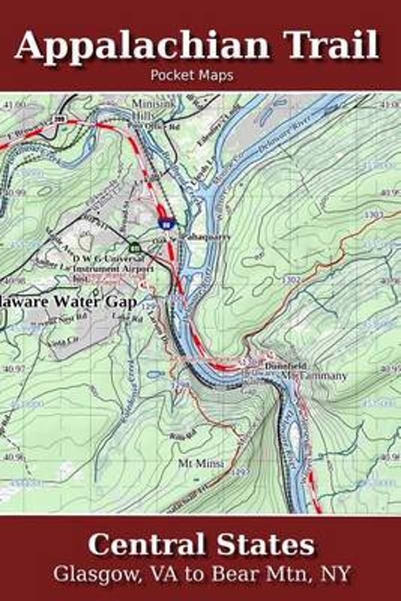
- Appalachian Trail Pocket Maps - Central States
- Major Update for 2018Central States - Glasgow, VA to Bear Mtn, NYThe Appalachian Trail Pocket Map Series is a complete and concise set of topographic maps created with digitized base maps covering every step of the 2,180 mile trail from Georgia to Maine.These are not 40 year old scanned USGS topo maps. They are created digitally with the most... Read more
- Also available from:
- Bol.com, Belgium
Bol.com
Belgium
Belgium
- Appalachian Trail Pocket Maps - Central States
- Major Update for 2018Central States - Glasgow, VA to Bear Mtn, NYThe Appalachian Trail Pocket Map Series is a complete and concise set of topographic maps created with digitized base maps covering every step of the 2,180 mile trail from Georgia to Maine.These are not 40 year old scanned USGS topo maps. They are created digitally with the most... Read more
Bol.com
Netherlands
Netherlands
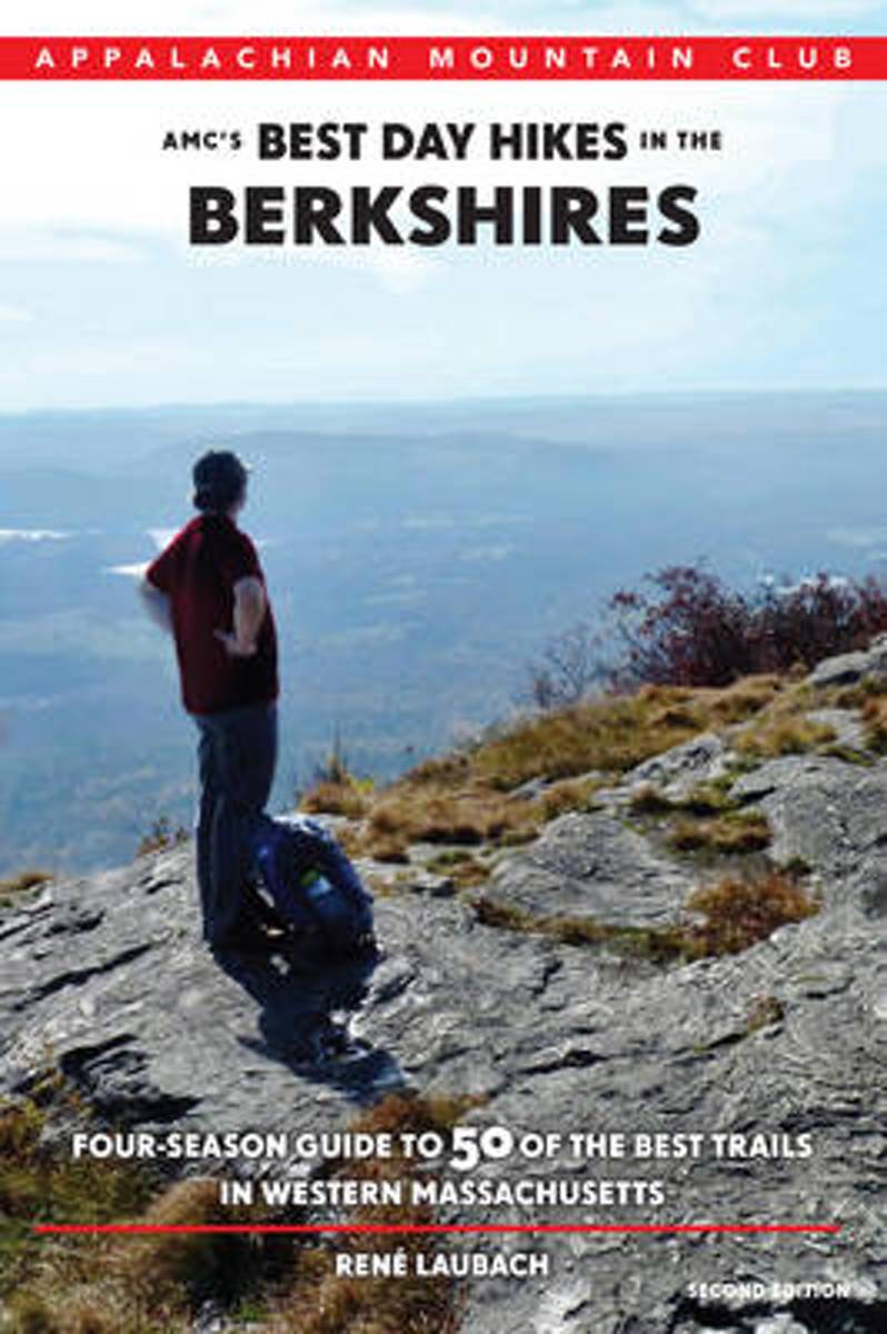
- Amc's Best Day Hikes in the Berkshires
- Discover 50 of the most impressive trails in the Berkshires, home of the Appalachian Trail in Massachusetts. Ideal for families, nature lovers, and hiking enthusiasts, this fully revised and updated guide will lead you through the region s scenic natural areas, past historic landmarks, and up to some of the state s best vistas. The hikes... Read more
- Also available from:
- Bol.com, Belgium
Bol.com
Belgium
Belgium
- Amc's Best Day Hikes in the Berkshires
- Discover 50 of the most impressive trails in the Berkshires, home of the Appalachian Trail in Massachusetts. Ideal for families, nature lovers, and hiking enthusiasts, this fully revised and updated guide will lead you through the region s scenic natural areas, past historic landmarks, and up to some of the state s best vistas. The hikes... Read more

Bol.com
Netherlands
Netherlands
- Wildflowers of the Appalachian Trail
- Wildflowers of the Appalachian Trail is the go-to resource for anyone interested in the wildflowers found along the 2,175-mile-long Appalachian National Scenic Trail. Stunning full-page color photos by Joe Cook and Monica Cook accompany the detailed descriptions by author Leonard Adkins. Also included for many of the 94 flowers profiled in the... Read more
- Also available from:
- Bol.com, Belgium
Bol.com
Belgium
Belgium
- Wildflowers of the Appalachian Trail
- Wildflowers of the Appalachian Trail is the go-to resource for anyone interested in the wildflowers found along the 2,175-mile-long Appalachian National Scenic Trail. Stunning full-page color photos by Joe Cook and Monica Cook accompany the detailed descriptions by author Leonard Adkins. Also included for many of the 94 flowers profiled in the... Read more

Bol.com
Netherlands
Netherlands
- Living a Dream
- This astonishing story chronicles Paralees amazing hike, from a womans prospective, as she puts one foot in front of the other, day-after-day, challenging herself beyond her comfort zone. You can share the mental and physical challenges she experienced as she would hike continually, without any contact with civilization, for days or months at... Read more
- Also available from:
- Bol.com, Belgium
- The Book Depository, United Kingdom
Bol.com
Belgium
Belgium
- Living a Dream
- This astonishing story chronicles Paralees amazing hike, from a womans prospective, as she puts one foot in front of the other, day-after-day, challenging herself beyond her comfort zone. You can share the mental and physical challenges she experienced as she would hike continually, without any contact with civilization, for days or months at... Read more

The Book Depository
United Kingdom
United Kingdom
- Living a Dream
- Laughter, Pain and Life on the Appalachian Trail Read more
Bol.com
Netherlands
Netherlands
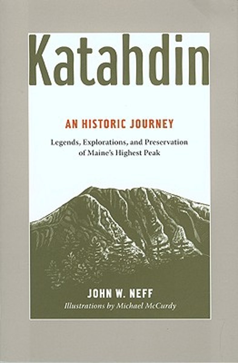
- Katahdin
- For millennia, Mount Katahdin has loomed over the changing landscape we now call Maine's North Woods, inspiring and challenging people, from the Native Americans whose trade routes rounded its base; to Henry David Thoreau and Governor Percival P. Baxter, who forged new approaches to nature and conservation; to the hundreds of outdoorspeople who... Read more
- Also available from:
- Bol.com, Belgium
Bol.com
Belgium
Belgium
- Katahdin
- For millennia, Mount Katahdin has loomed over the changing landscape we now call Maine's North Woods, inspiring and challenging people, from the Native Americans whose trade routes rounded its base; to Henry David Thoreau and Governor Percival P. Baxter, who forged new approaches to nature and conservation; to the hundreds of outdoorspeople who... Read more

Bol.com
Netherlands
Netherlands
- To the Woods
- The Appalachian Trail is a long-distance hiking trail from Georgia to Maine in the USA. It passes through 14 States and is typically completed in 4-6 months. Those who seek to do it all in one shot are known as thru hikers. Some 15-20% of those who start will finish.I hiked the 2,160 Trail over 6 months to celebrate an important birthday and to... Read more
- Also available from:
- Bol.com, Belgium
Bol.com
Belgium
Belgium
- To the Woods
- The Appalachian Trail is a long-distance hiking trail from Georgia to Maine in the USA. It passes through 14 States and is typically completed in 4-6 months. Those who seek to do it all in one shot are known as thru hikers. Some 15-20% of those who start will finish.I hiked the 2,160 Trail over 6 months to celebrate an important birthday and to... Read more
Bol.com
Netherlands
Netherlands
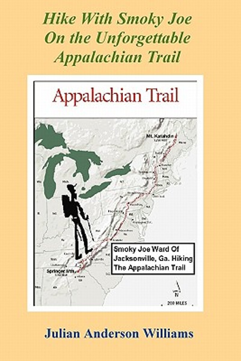
- Hike with Smoky Joe on the Unforgettable Appalachian Trail
- Williams chronicles Smoky Joe Ward's adventures along the Appalachian Trail. 186 pp. Read more
- Also available from:
- Bol.com, Belgium
Bol.com
Belgium
Belgium
- Hike with Smoky Joe on the Unforgettable Appalachian Trail
- Williams chronicles Smoky Joe Ward's adventures along the Appalachian Trail. 186 pp. Read more
Bol.com
Netherlands
Netherlands
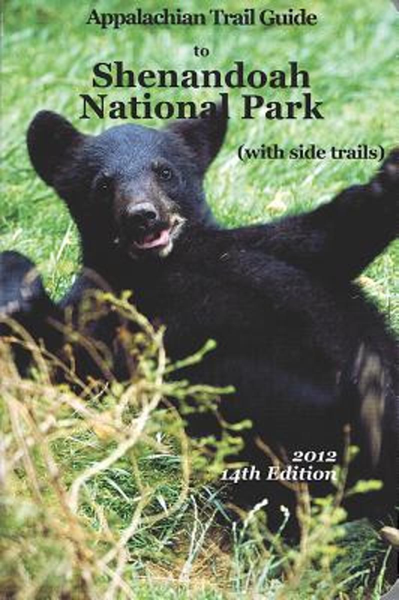
- Appalachian Trail Guide to Shenandoah National Park
- This is the official guide to the 107 miles of the Appalachian Trail that bisect Shenandoah National Park (the route of Skyline Drive, renowned for fall drives, was the original route of the A.T.). This book includes background information and trail-route descriptions for the A.T., as well as descriptions for about 400 miles of popular side... Read more
- Also available from:
- Bol.com, Belgium
Bol.com
Belgium
Belgium
- Appalachian Trail Guide to Shenandoah National Park
- This is the official guide to the 107 miles of the Appalachian Trail that bisect Shenandoah National Park (the route of Skyline Drive, renowned for fall drives, was the original route of the A.T.). This book includes background information and trail-route descriptions for the A.T., as well as descriptions for about 400 miles of popular side... Read more

Bol.com
Netherlands
Netherlands
- Pacific Crest Trials
- Thru-hiking the Pacific Crest Trail is 90% mental. Each year, thousands of backpackerstake to the Pacific Crest Trail with the intention of successfully thru-hiking the 2,650-mile footpath that extends fromMexico toCanada. Despite months of research, thousands of dollars poured into their gear, and countless hours dedicated to grinding away on... Read more
- Also available from:
- Bol.com, Belgium
- The Book Depository, United Kingdom
Bol.com
Belgium
Belgium
- Pacific Crest Trials
- Thru-hiking the Pacific Crest Trail is 90% mental. Each year, thousands of backpackerstake to the Pacific Crest Trail with the intention of successfully thru-hiking the 2,650-mile footpath that extends fromMexico toCanada. Despite months of research, thousands of dollars poured into their gear, and countless hours dedicated to grinding away on... Read more

The Book Depository
United Kingdom
United Kingdom
- Pacific Crest Trials
- A Psychological and Emotional Guide to Successfully Thru-Hiking the Pacific Crest Trail Read more
Kaarten

Bol.com
Netherlands
Netherlands
- Springer & Cohutta Mountains, Chattahoochee National Forest
- Waterproof Tear-Resistant Topographic MapLocated just north of Atlanta, the Chattahoochee National Forest contains the southern terminus of the Appalachian Trail along with an abundance of recreational opportunities for outdoor enthusiasts of all interests.This detailed recreation map contains carefully researched trails, campsites,... Read more
- Also available from:
- Bol.com, Belgium
- Stanfords, United Kingdom
Bol.com
Belgium
Belgium
- Springer & Cohutta Mountains, Chattahoochee National Forest
- Waterproof Tear-Resistant Topographic MapLocated just north of Atlanta, the Chattahoochee National Forest contains the southern terminus of the Appalachian Trail along with an abundance of recreational opportunities for outdoor enthusiasts of all interests.This detailed recreation map contains carefully researched trails, campsites,... Read more

Stanfords
United Kingdom
United Kingdom
- Chattahoochee National Forest - Springer and Cohutta Mountains GA/SC 777
- Map No. 777, Chattahoochee National Forest: Springer and Cohutta Mountains, GA/SC, in an extensive series of GPS compatible, contoured hiking maps of USA’s national and state parks or forests and other popular recreational areas. Cartography based on the national topographic survey, with additional tourist information.The maps, with most titles... Read more

De Zwerver
Netherlands
Netherlands
- Wandelkaart - Topografische kaart 318 Mount Rogers High Country - Grayson Highlands State Park | National Geographic
- Prachtige geplastificeerde kaart van het bekende nationaal park. Met alle recreatieve voorzieningen als campsites, maar ook met topografische details en wandelroutes ed. Door uitgekiend kleurgebruik zeer prettig in gebruik. Scheur en watervast! National Geographic's Trails Illustrated map of Mount Rogers High Country and Grayson Highlands... Read more
- Also available from:
- Bol.com, Netherlands
- Bol.com, Belgium
- Stanfords, United Kingdom
- The Book Depository, United Kingdom

Bol.com
Netherlands
Netherlands
- Mount Rogers High Country
- Waterproof Tear-Resistant Topographic MapNational Geographic's Trails Illustrated map of Mount Rogers High Country and Grayson Highlands State Park, Southwest Virginia, is a two-sided, waterproof, topographic trail map designed to meet the needs of outdoor enthusiasts with unmatched durability and detail. This map was created in... Read more
Bol.com
Belgium
Belgium
- Mount Rogers High Country
- Waterproof Tear-Resistant Topographic MapNational Geographic's Trails Illustrated map of Mount Rogers High Country and Grayson Highlands State Park, Southwest Virginia, is a two-sided, waterproof, topographic trail map designed to meet the needs of outdoor enthusiasts with unmatched durability and detail. This map was created in... Read more

Stanfords
United Kingdom
United Kingdom
- Mount Rogers High Country VA
- Map No. 318 - Mount Rogers High Country in Virginia in an extensive series of GPS compatible, contoured hiking maps of USA’s national and state parks or forests and other popular recreational areas. Cartography based on the national topographic survey, with additional tourist information.The maps, with most titles now printed on light,... Read more

The Book Depository
United Kingdom
United Kingdom
- Mount Rogers High Country
- Trails Illustrated Other Rec. Areas Read more

De Zwerver
Netherlands
Netherlands
- Wandelkaart - Topografische kaart 747 Green Mountain National Forest North - Moosalamoo NRA - Rutland | National Geographic
- Prachtige geplastificeerde kaart van het bekende nationaal park. Met alle recreatieve voorzieningen als campsites, maar ook met topografische details en wandelroutes ed. Door uitgekiend kleurgebruik zeer prettig in gebruik. Scheur en watervast! National Geographic's Green Mountain National Forest North Trails Illustrated topographic map is... Read more
- Also available from:
- Bol.com, Netherlands
- Bol.com, Belgium
- Stanfords, United Kingdom
- The Book Depository, United Kingdom

Bol.com
Netherlands
Netherlands
- Green Mountains N.F., Moosalamoo NRA/Rutland
- Waterproof Tear-Resistant Topographic MapNational Geographic's Green Mountain National Forest North Trails Illustrated topographic map is the most comprehensive available for outdoor enthusiasts of all types. Designed to be easy-to-read, yet highly detailed this map includes a comprehensive road and trail network distinguishing between... Read more
Bol.com
Belgium
Belgium
- Green Mountains N.F., Moosalamoo NRA/Rutland
- Waterproof Tear-Resistant Topographic MapNational Geographic's Green Mountain National Forest North Trails Illustrated topographic map is the most comprehensive available for outdoor enthusiasts of all types. Designed to be easy-to-read, yet highly detailed this map includes a comprehensive road and trail network distinguishing between... Read more

Stanfords
United Kingdom
United Kingdom
- Green Mountain National Forest - Moosalamoo NRA - Rutland VT
- Map No. 747, Green Mountain National Forest: Moosalamoo NRA - Rutland area in Vermont, in an extensive series of GPS compatible, contoured hiking maps of USA’s national and state parks or forests and other popular recreational areas. Cartography based on the national topographic survey, with additional tourist information.The maps, with most... Read more

The Book Depository
United Kingdom
United Kingdom
- Green Mountains N.f., Moosalamoo Nra/rutland
- Trails Illustrated Other Rec. Areas Read more

De Zwerver
Netherlands
Netherlands
- Wandelkaart - Topografische kaart 316 Cades Cove - Elkmont - Great Smoky Mountains National Park | National Geographic
- Prachtige geplastificeerde kaart van het bekende nationaal park. Met alle recreatieve voorzieningen als campsites, maar ook met topografische details en wandelroutes ed. Door uitgekiend kleurgebruik zeer prettig in gebruik. Scheur en watervast! This title provides an increased scale of one of the most visited National Parks in the US, and one... Read more
- Also available from:
- Bol.com, Netherlands
- Bol.com, Belgium
- Stanfords, United Kingdom

Bol.com
Netherlands
Netherlands
- Cades Cove/elkmont, Great Smoky Mountains National Park
- Waterproof Tear-Resistant Topographic MapThis title provides an increased scale of one of the most visited National Parks in the US, and one of our more popular map titles. This increased scale will provide greater detail to the backcountry users and Appalachian Trail through-hikers.Park Introduction:Great Smoky Mountains National Park is... Read more
Bol.com
Belgium
Belgium
- Cades Cove/elkmont, Great Smoky Mountains National Park
- Waterproof Tear-Resistant Topographic MapThis title provides an increased scale of one of the most visited National Parks in the US, and one of our more popular map titles. This increased scale will provide greater detail to the backcountry users and Appalachian Trail through-hikers.Park Introduction:Great Smoky Mountains National Park is... Read more

Stanfords
United Kingdom
United Kingdom
- Cades Cove - Elkmont - Great Smoky Mountains National Park NC/TN
- Map No. 316, Great Smoky Mountains National Park: Cades Cove - Elkmont, NC/TN, in an extensive series of GPS compatible, contoured hiking maps of USA’s national and state parks or forests and other popular recreational areas. Cartography based on the national topographic survey, with additional tourist information.The maps, with most titles now... Read more