
Everest Trek
Beschrijving
- Name Everest Trek
- Lengte in dagen 9 dagen
- Start van pad Lukla
- Einde van pad Basecamp
- Traildino graad SW, Inspannende wandeling, bergpad
- Huttentrektocht graad T2, Bergtocht

From Jiri 16 days to Basecamp, from Lukla 9 days.
Nepal is home to the highest mountain in the world, which sits right on the border with Tibet. Mount Everest, associated with ever so many famous names and stories, is within easy reach of the ordinary hiker. Not the 8840 m high summit, of course. But at 3500 m lower down, at the foot of the mountain, is Everest Base-camp, achievable for any backpacker with a down-filled jacket and a strong constitution.
Giving this trail in Khumbu region extra cachet, is the feeling of walking in the footsteps of the renowned pioneers who mapped this area and finally conquered Everest. And it was no hit and run for these adventurers. The first climbers and their company of porters started out from Dharan, and later from Jiri. Even today, Jiri is a starting point of the Everest Basecamp Trek, although it is not the easiest place to start. The hike from Jiri to Lukla means climbing up and down a lot. Definitely excellent to test your fit-ness.
Many hikers these days choose to fly to Lukla, shortening the trek by a week. Lukla airport is not exactly spacious. If the weather is bad, there is no flight and you may have to wait for a day or more.
From Lukla it takes one day to walk to Namche Bazaar, and an-other seven days to reach the viewpoint summits of Kala Patar. From its low (5545 m) or the high (5623 m) summit you will enjoy spectacular views of Mount Everest, the nearby Nuptse, Lhotse, and the splendid double dome of Ama Dablam. Another day's hike will take you to Everest Basecamp at 5300 m, Khumbu Icefall and the towering massif behind (but Everest itself is out of sight).
Thanks to a huge choice of lodges all along the trail, this classic trek poses no difficulties for the strong and experienced hiker. Most risky are the altitude and the change of diet. Please keep in mind this trek is very popular, just like the Annapurna Circuit. October, but also April and September are busiest. During the monsoon (June, July, August) hikers are few, but views are limited. Winter months are quiet, but dreadfully cold. Spring is beautiful, but along with rising temperatures, humidity gradually builds up to culminate during monsoon.
Times are changing. Meanwhile the Chinese on the other side of the border have their own Everest Basecamp at the foot of the Everest. The good news: you can drive all the way up there in your 4WD, so no need to walk anymore.
Kaart


Links
Feiten
Verslagen
Gidsen en kaarten
Overnachting
Organisaties
Reisorganisaties
GPS
Anders
Boeken
Netherlands
- Ghosts of Everest
- On May 1, 1999, the Mallory & Irvine Research Expedition found George Mallory's body - astonishingly well preserved - high on the wind-swept North Face of Everest. But that is not all they found. In Mallory's pockets, and elsewhere on the mountain, the researchers found answers to the question that has plagued historians and mountaineers alike:... Read more
- Also available from:
- Bol.com, Belgium
Belgium
- Ghosts of Everest
- On May 1, 1999, the Mallory & Irvine Research Expedition found George Mallory's body - astonishingly well preserved - high on the wind-swept North Face of Everest. But that is not all they found. In Mallory's pockets, and elsewhere on the mountain, the researchers found answers to the question that has plagued historians and mountaineers alike:... Read more

Netherlands
- Two Hours
- WINNER OF THE CROSS SPORTS BOOK AWARD FOR NEW WRITER OF THE YEAR 2016Two Hours by Ed Caesar - the quest to run the impossible marathon 'The marathon tethers runners to their own personal narratives. It is a question of how you grow. Nothing but your own body will sustain you; everything you have done in your life until the moment you cross the... Read more
- Also available from:
- Bol.com, Belgium
Belgium
- Two Hours
- WINNER OF THE CROSS SPORTS BOOK AWARD FOR NEW WRITER OF THE YEAR 2016Two Hours by Ed Caesar - the quest to run the impossible marathon 'The marathon tethers runners to their own personal narratives. It is a question of how you grow. Nothing but your own body will sustain you; everything you have done in your life until the moment you cross the... Read more
Netherlands
- Trekking in the Everest Region
- Ranging from lush terraced fields to the highest mountain on earth, the scenery is breath-taking. There are trekking possibilities to suit all budgets--from independent trekkers on a shoestring staying in simple lodges with Sherpa families to travelers on all-inclusive guided treks with every luxury provided.Fully revised fourth edition of this... Read more
- Also available from:
- Bol.com, Belgium
Belgium
- Trekking in the Everest Region
- Ranging from lush terraced fields to the highest mountain on earth, the scenery is breath-taking. There are trekking possibilities to suit all budgets--from independent trekkers on a shoestring staying in simple lodges with Sherpa families to travelers on all-inclusive guided treks with every luxury provided.Fully revised fourth edition of this... Read more
Netherlands
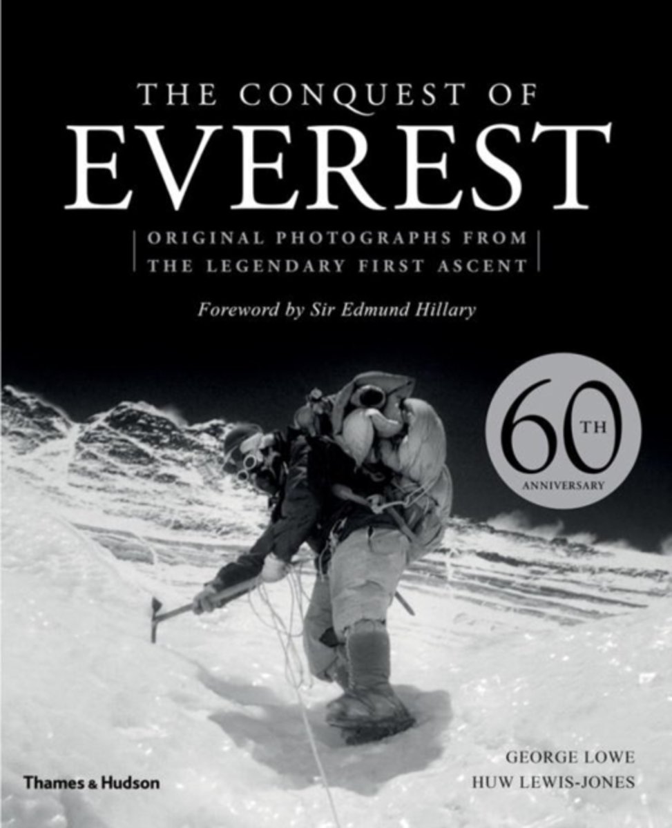
- Conquest of Everest
- 29 May 2013 is the sixtieth anniversary of the first ascent of Mount Everest. The allure of Everest remains undimmed, and the publication of this unique book celebrates this most majestic of mountains, with exclusive access to the photographic imagery and private archives of celebrated climber and photographer George Lowe, the last surviving... Read more
- Also available from:
- Bol.com, Belgium
Belgium
- Conquest of Everest
- 29 May 2013 is the sixtieth anniversary of the first ascent of Mount Everest. The allure of Everest remains undimmed, and the publication of this unique book celebrates this most majestic of mountains, with exclusive access to the photographic imagery and private archives of celebrated climber and photographer George Lowe, the last surviving... Read more
Netherlands
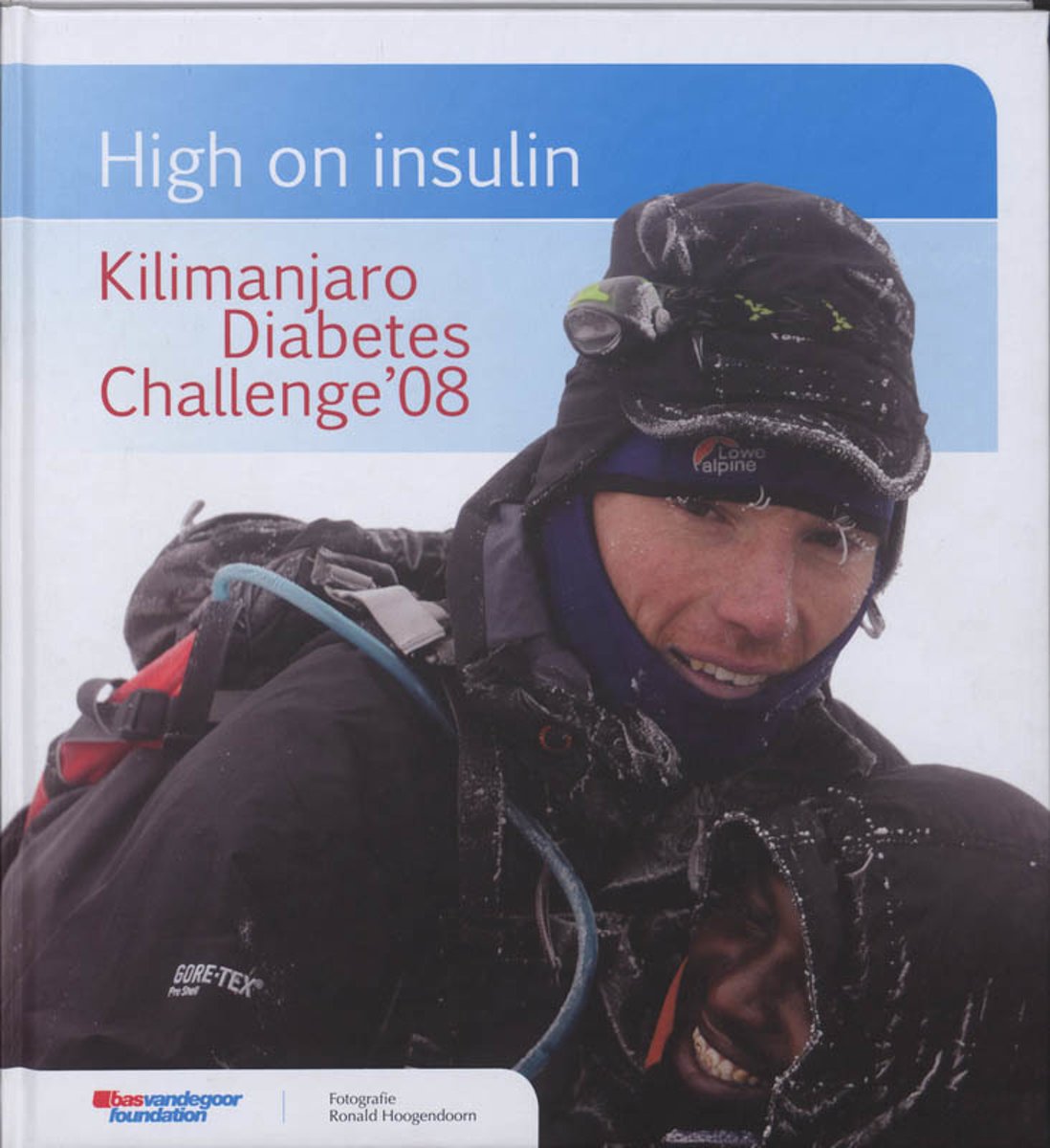
- High on insulin
- In 2003 krijgt Bas van de Goor te horen dat hij diabetes type 1 heeft. Tijdens zijn volleybalcarri re ontdekt hij dat diabetes en sport elkaar niet in de weg zitten. Sport blijkt een uitstekend middel om mensen met diabetes te helpen hun bloedsuikers te organiseren. Acht mensen met diabetes gaan onder leiding van de eerste Nederlander die de... Read more
- Also available from:
- Bol.com, Belgium
Belgium
- High on insulin
- In 2003 krijgt Bas van de Goor te horen dat hij diabetes type 1 heeft. Tijdens zijn volleybalcarri re ontdekt hij dat diabetes en sport elkaar niet in de weg zitten. Sport blijkt een uitstekend middel om mensen met diabetes te helpen hun bloedsuikers te organiseren. Acht mensen met diabetes gaan onder leiding van de eerste Nederlander die de... Read more
Netherlands
2004
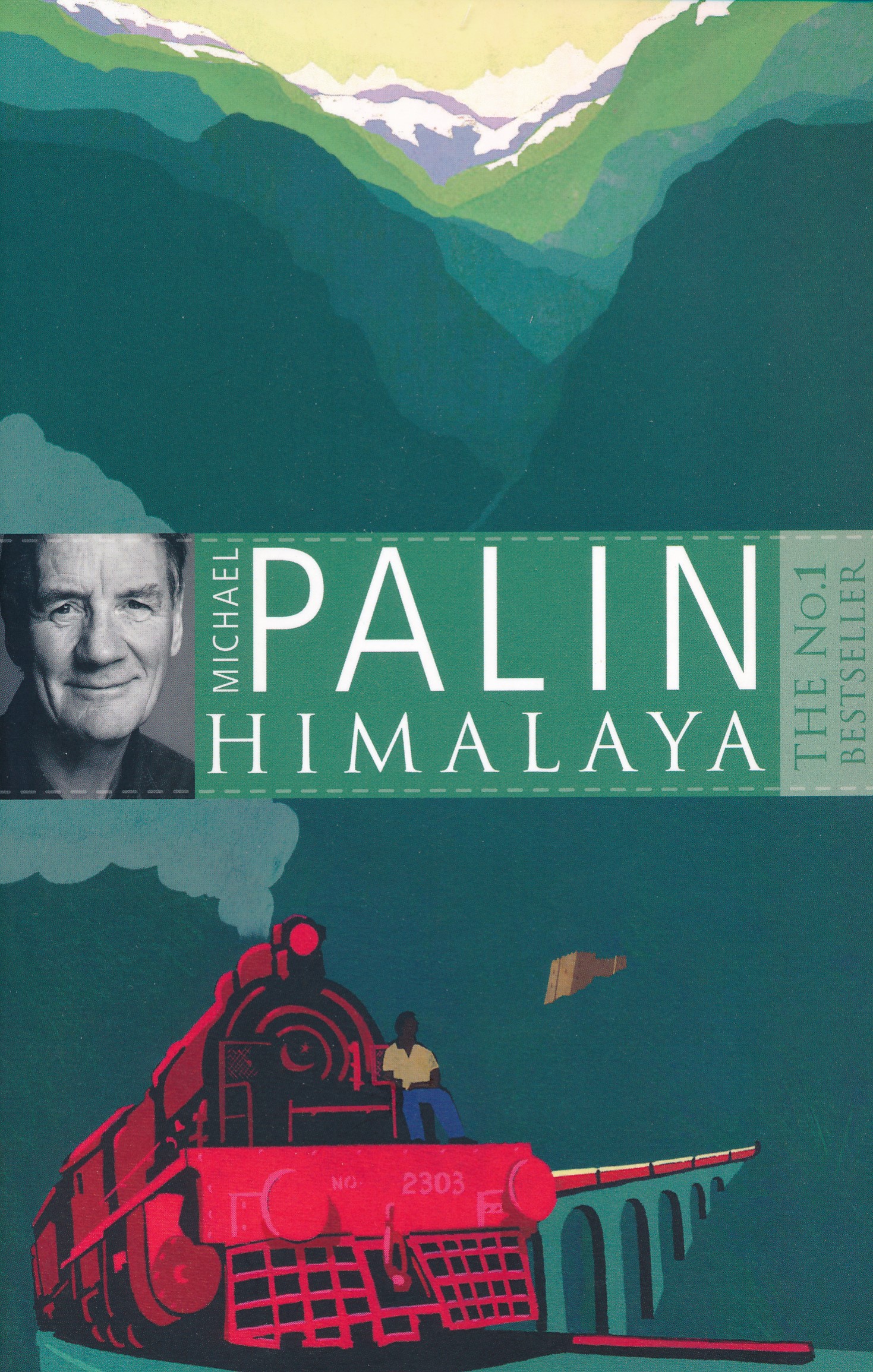
- Reisverhaal Himalaya | Michael Palin
- In this his most challenging journey, Michael Palin tackles the Himalaya, the greatest mountain range on earth, a virtually unbroken wall of rock stretching 1800 miles from the borders of Afghanistan to south-west China. Penetrated but never conquered, it remains the world's most majestic natural barrier, a magnificent wilderness that shapes... Read more
- Also available from:
- Bol.com, Netherlands
- Bol.com, Belgium
Netherlands
2004
- Himalaya
- In this his most challenging journey, Michael Palin tackles the Himalaya, the greatest mountain range on earth, a virtually unbroken wall of rock stretching 1800 miles from the borders of Afghanistan to south-west China. Penetrated but never conquered, it remains the world's most majestic natural barrier, a magnificent wilderness that shapes... Read more
Belgium
2004
- Himalaya
- In this his most challenging journey, Michael Palin tackles the Himalaya, the greatest mountain range on earth, a virtually unbroken wall of rock stretching 1800 miles from the borders of Afghanistan to south-west China. Penetrated but never conquered, it remains the world's most majestic natural barrier, a magnificent wilderness that shapes... Read more
Netherlands
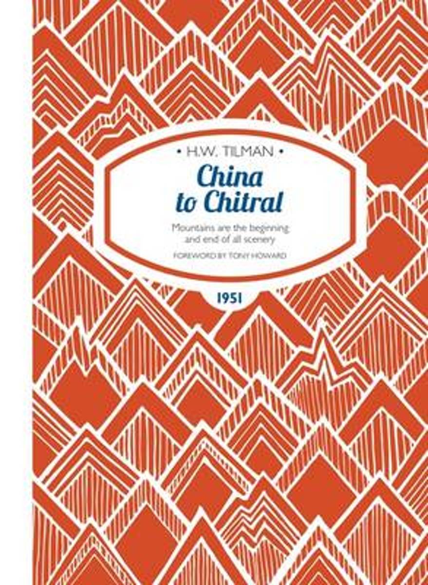
- China to Chitral
- In China to Chitral H.W. "Bill' Tilman completes one of his great post-war journeys. He travels from Central China, crossing Sinkiang, the Gobi and Takla Makan Deserts, before escaping to a crumbling British Empire with a crossing of the Karakoram to the new nation of Pakistan.In 1951 there still persisted a legend that a vast mountain, higher... Read more
- Also available from:
- Bol.com, Belgium
Belgium
- China to Chitral
- In China to Chitral H.W. "Bill' Tilman completes one of his great post-war journeys. He travels from Central China, crossing Sinkiang, the Gobi and Takla Makan Deserts, before escaping to a crumbling British Empire with a crossing of the Karakoram to the new nation of Pakistan.In 1951 there still persisted a legend that a vast mountain, higher... Read more
Netherlands
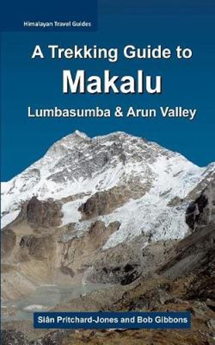
- A Trekking Guide to Makalu
- The trek to Makalu Base Camp is a sensational experience that has been ignored for so long by so many. Where else in the Himalaya can one stand just a few hundred metres below 3800m of soaring rock, ice and glaciers? Unlike Everest and Kanchenjunga, which are both viewed from a few kilometres away from the actual faces, Makalu towers directly... Read more
- Also available from:
- Bol.com, Belgium
Belgium
- A Trekking Guide to Makalu
- The trek to Makalu Base Camp is a sensational experience that has been ignored for so long by so many. Where else in the Himalaya can one stand just a few hundred metres below 3800m of soaring rock, ice and glaciers? Unlike Everest and Kanchenjunga, which are both viewed from a few kilometres away from the actual faces, Makalu towers directly... Read more
Netherlands
- Vermist Op De Mount Everest
- De verdwijning van de bergbeklimmer George Mallory op de Mount Everest op 8 juni 1924 is een van de grootste drama's uit de geschiedenis van het bergbeklimmen.De eerste bedwinger van de top die zijn verhaal aan de wereld kon openbaren, Edmund Hillary, heeft nooit geweten of hij nu echt de eerste was voorgegaan.Pas op 1 mei 1999 ontdeke Conrad... Read more
- Also available from:
- Bol.com, Belgium
Belgium
- Vermist Op De Mount Everest
- De verdwijning van de bergbeklimmer George Mallory op de Mount Everest op 8 juni 1924 is een van de grootste drama's uit de geschiedenis van het bergbeklimmen.De eerste bedwinger van de top die zijn verhaal aan de wereld kon openbaren, Edmund Hillary, heeft nooit geweten of hij nu echt de eerste was voorgegaan.Pas op 1 mei 1999 ontdeke Conrad... Read more
Netherlands
- Everest ; The Mammoth Book Of How It Happened
- Begining with the 1921 attempt on the summit of Everest through to the disasters of the 1990s, this work features 30 white-knuckle accounts of climbing endeavour on the world's highest mountain, with all the tragedy and triumph of humankind's striving for the top of the world, by those who know the "Death Zone" best - the climbers of Everest... Read more
- Also available from:
- Bol.com, Belgium
Belgium
- Everest ; The Mammoth Book Of How It Happened
- Begining with the 1921 attempt on the summit of Everest through to the disasters of the 1990s, this work features 30 white-knuckle accounts of climbing endeavour on the world's highest mountain, with all the tragedy and triumph of humankind's striving for the top of the world, by those who know the "Death Zone" best - the climbers of Everest... Read more
Netherlands
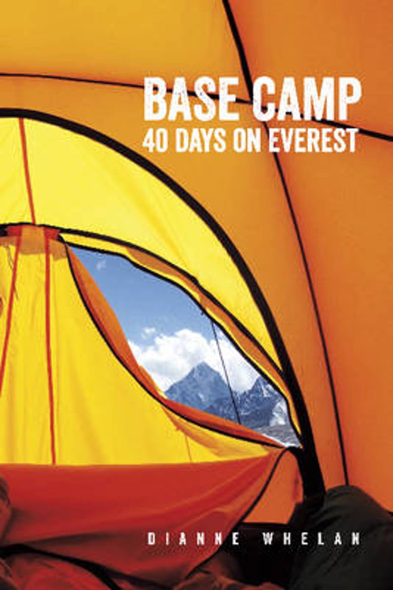
- Base Camp
- It takes forty days to know the mountain. Each spring, over eight hundred climbers attempt to reach the summit of Mt. Everest. The conditions are challenging, and without warning can become life-threatening. Some make it to the top of what is considered the world's most majestic mountain, but others are not so lucky, and in the attempt to reach... Read more
- Also available from:
- Bol.com, Belgium
Belgium
- Base Camp
- It takes forty days to know the mountain. Each spring, over eight hundred climbers attempt to reach the summit of Mt. Everest. The conditions are challenging, and without warning can become life-threatening. Some make it to the top of what is considered the world's most majestic mountain, but others are not so lucky, and in the attempt to reach... Read more
Netherlands
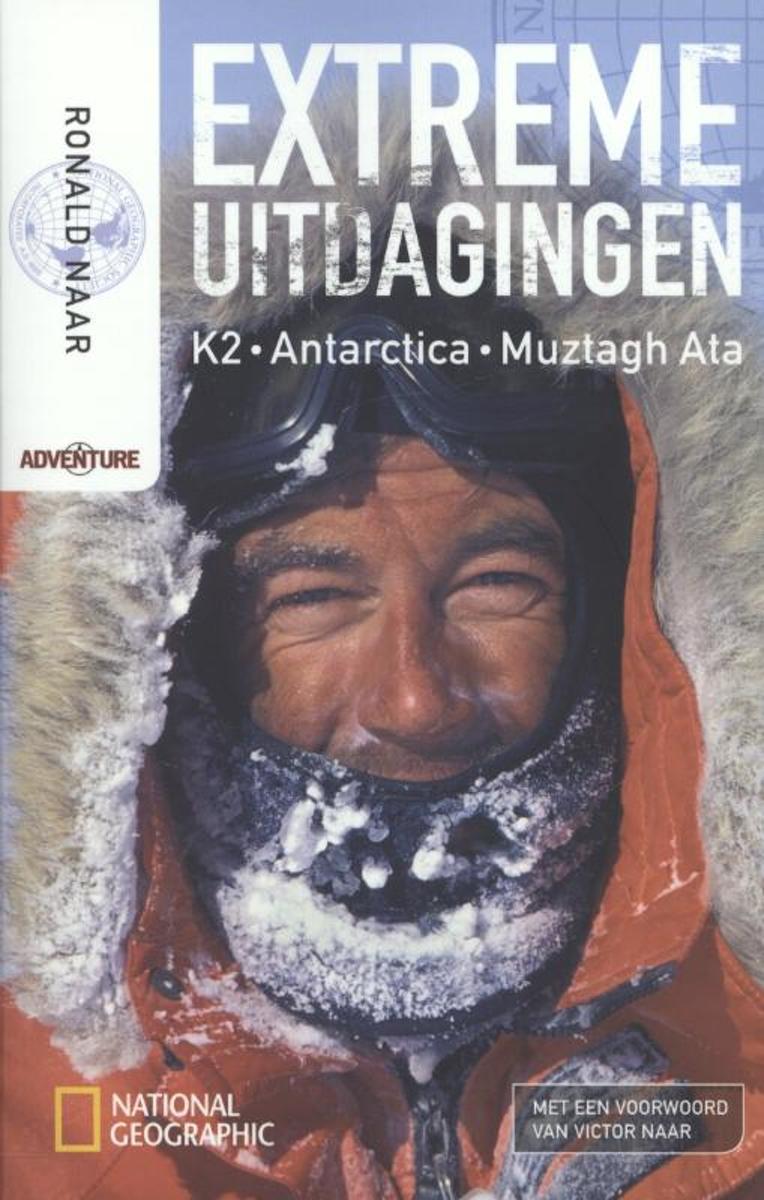
- Extreme uitdagingen
- Op 22 mei 2011 overleed onverwacht de Nederlandse beroepsavonturier en National Geographic-auteur Ronald Naar. Tijdens een expeditie naar de Cho Oyu in Tibet raakte hij onwel en stierf ter plekke. De bergbeklimmer maakte deel uit van de Nederlandse ht Cho Oyu Expeditie 2011. De slechte weersomstandigheden maakten dat het team de beklimming een... Read more
- Also available from:
- Bol.com, Belgium
Belgium
- Extreme uitdagingen
- Op 22 mei 2011 overleed onverwacht de Nederlandse beroepsavonturier en National Geographic-auteur Ronald Naar. Tijdens een expeditie naar de Cho Oyu in Tibet raakte hij onwel en stierf ter plekke. De bergbeklimmer maakte deel uit van de Nederlandse ht Cho Oyu Expeditie 2011. De slechte weersomstandigheden maakten dat het team de beklimming een... Read more
Netherlands
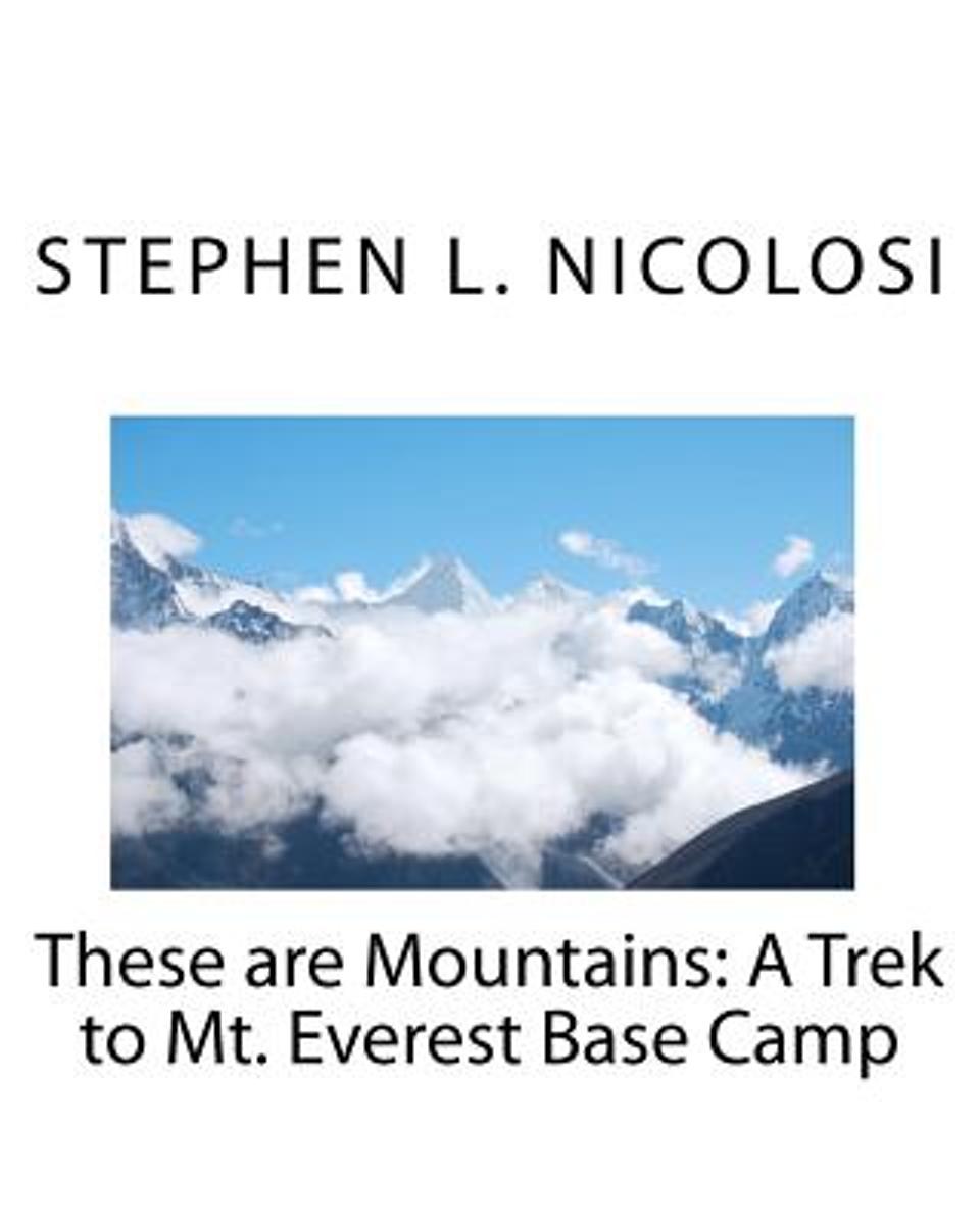
- These Are Mountains
- Narrative with color photos describing the day to day experiences of a trek to the Mt. Everest Base Camp and Kala Patthar. Includes Kathmandu experiences, daily experiences of trekking about 70 miles, heath issues, preparation notes, and exit issues. Read more
- Also available from:
- Bol.com, Belgium
Belgium
- These Are Mountains
- Narrative with color photos describing the day to day experiences of a trek to the Mt. Everest Base Camp and Kala Patthar. Includes Kathmandu experiences, daily experiences of trekking about 70 miles, heath issues, preparation notes, and exit issues. Read more
Kaarten
Netherlands
- Wandelkaart Khumbu - Jiri to Everest pocket map | Himalayan Maphouse
- Handige pocket map voor het hele gebied voor de Everest trek naar het Base Camp vanaf zowel Jiri als ook vanaf Phaplu of Lukla. Een beetje grove schaal, maar juist voor het overzicht een ideale kaart. Ook de trekkings in Rolwaling vind je hier op terug. Read more
Netherlands
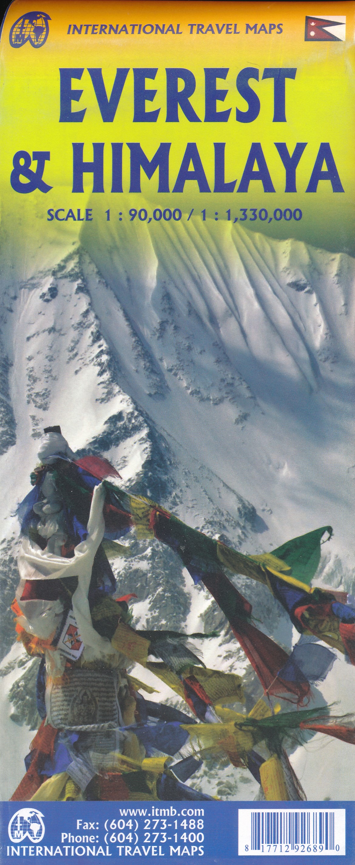
- Wandelkaart Mount Everest - Himalaya | ITMB
- Mt Everest region at 1:100,000 from ITMB on a contoured map with tourist information but with somewhat unusual choice of colouring which makes the whole area appear more like a desert rather the highest mountain range covered in glaciers!Coverage extends from Lukla to beyond the North Base Camp on the Tibetan side. The map has contour lines at... Read more
Netherlands
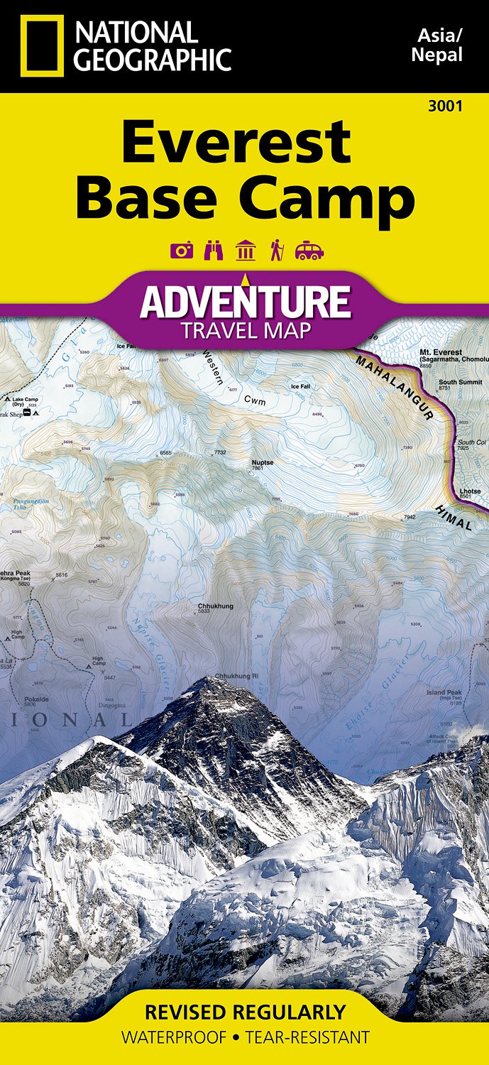
- Wandelkaart 3001 Adventure Map trekking map Everest Base Camp | National Geographic
- Everest Base Camp area at 1:50,000 approx. on indexed, light, waterproof and tear-resistant hiking map, with a plan of the Kathmandu/Patan area including an enlargement of the Thamel district, plus an overview map of the whole country.The map is part of a series covering Nepal Read more
- Also available from:
- Stanfords, United Kingdom

United Kingdom
- Everest Base Camp NGS Adventure Map 3001
- Everest Base Camp area at 1:50,000 approx. on indexed, light, waterproof and tear-resistant hiking map, with a plan of the Kathmandu/Patan area including an enlargement of the Thamel district, plus an overview map of the whole country.The map is part of a series covering Nepal’s four most popular trekking areas. The maps were prepared by the... Read more

Netherlands
- Wandelkaart The Great Himalaya Trail | GHT
- Prachtige kaartenserie van één van 'swerelds mooiste wandeltochten. The Far West is one of the least explored areas of Nepal. Its area is bounded to the east by mighty, turquoise Karnali river which flows from Tibet’s sacred Mount Kailash. Myth and superstition remain part of the fabric of life here. Though the Nepali language originated... Read more
Netherlands
2005
- Wandelkaart Mount Everest | Swisstopo
- Prachtige zeer gedetailleerde klimkaart van de Mount Everest en andere toppen in de directe omgeving als Lhotse en Nuptse. Het basiskamp aan de Nepal-kant staat er nog net op. Op deze kaart staan alle routes ingetekend die als eerstbeklimming gelden, deze beklimmingen worden elders op de kaart nog eens nader gspecificeerd. Read more
Netherlands
2023
Netherlands
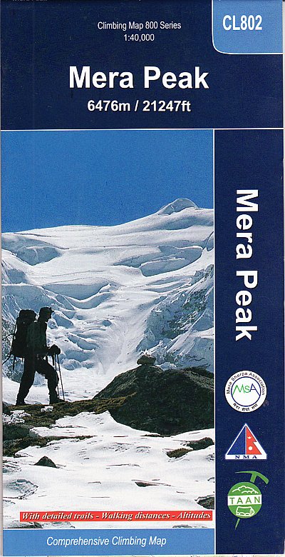
- Wandelkaart CL802 Mera Peak climbing map | Himalayan Maphouse
- Trekking route to the Mera peaks at 1:40,000 in the Nepa Maps series which provides extensive coverage of trekking areas of Nepal on detailed contoured maps with trekking routes and hiking trails, huts and camp sites, local places of interest and other tourist information.The map shows a section of the main Everest trek between Taksindu and... Read more
- Also available from:
- Stanfords, United Kingdom

United Kingdom
- Mera Peak
- Trekking route to the Mera peaks at 1:40,000 in the Nepa Maps series which provides extensive coverage of trekking areas of Nepal on detailed contoured maps with trekking routes and hiking trails, huts and camp sites, local places of interest and other tourist information.The map shows a section of the main Everest trek between Taksindu and... Read more
Netherlands
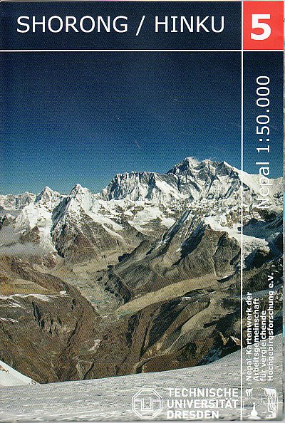
- Wandelkaart 05 Nepal Shorong - Hinku | Nepal Kartenwerk
- Shorong - Hinku region of Nepal at 1:50,000 on a waterproof and tear-resistant map in the famous Schneider series, revised in 2013 to include extensive tourist information for trekking routes in the area directly south of the Sagarmatha National Park. Centered on Lukla, coverage extends north to Namche Bazaar and south just beyond Kharikhola... Read more
- Also available from:
- Stanfords, United Kingdom

United Kingdom
- Shorong - Hinku
- Shorong - Hinku region of Nepal at 1:50,000 on a waterproof and tear-resistant map in the famous Schneider series, revised in 2013 to include extensive tourist information for trekking routes in the area directly south of the Sagarmatha National Park. Centered on Lukla, coverage extends north to Namche Bazaar and south just beyond Kharikhola... Read more
Netherlands
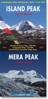
- Wandelkaart trekkingmap Island Peak - Mera Peak | Climbing-map
- Topographic climbing maps from Island & Mera Peak 1:25'000; village maps of Lukla and Namche Bazar, description of climbing routes, Khumbu general map 1:200'000; Panorama view, vegetation illustrations, climatic diagram, GPS information Read more
- Also available from:
- Stanfords, United Kingdom

United Kingdom
- Island Peak - Mera Peak
- Two peaks of Nepal’s western Himalayas, Island Peak (Imja Tse) and Mera Peak, presented by Swiss publishers Climbing Map on separate contoured and GPS compatible panels at 1:25,000; plus drawings showing approach routes to each peak, plans of Lukla and Namche Bazar, an overview map of the Khumbu Himal region, etc.On one side the main panel is... Read more
Netherlands
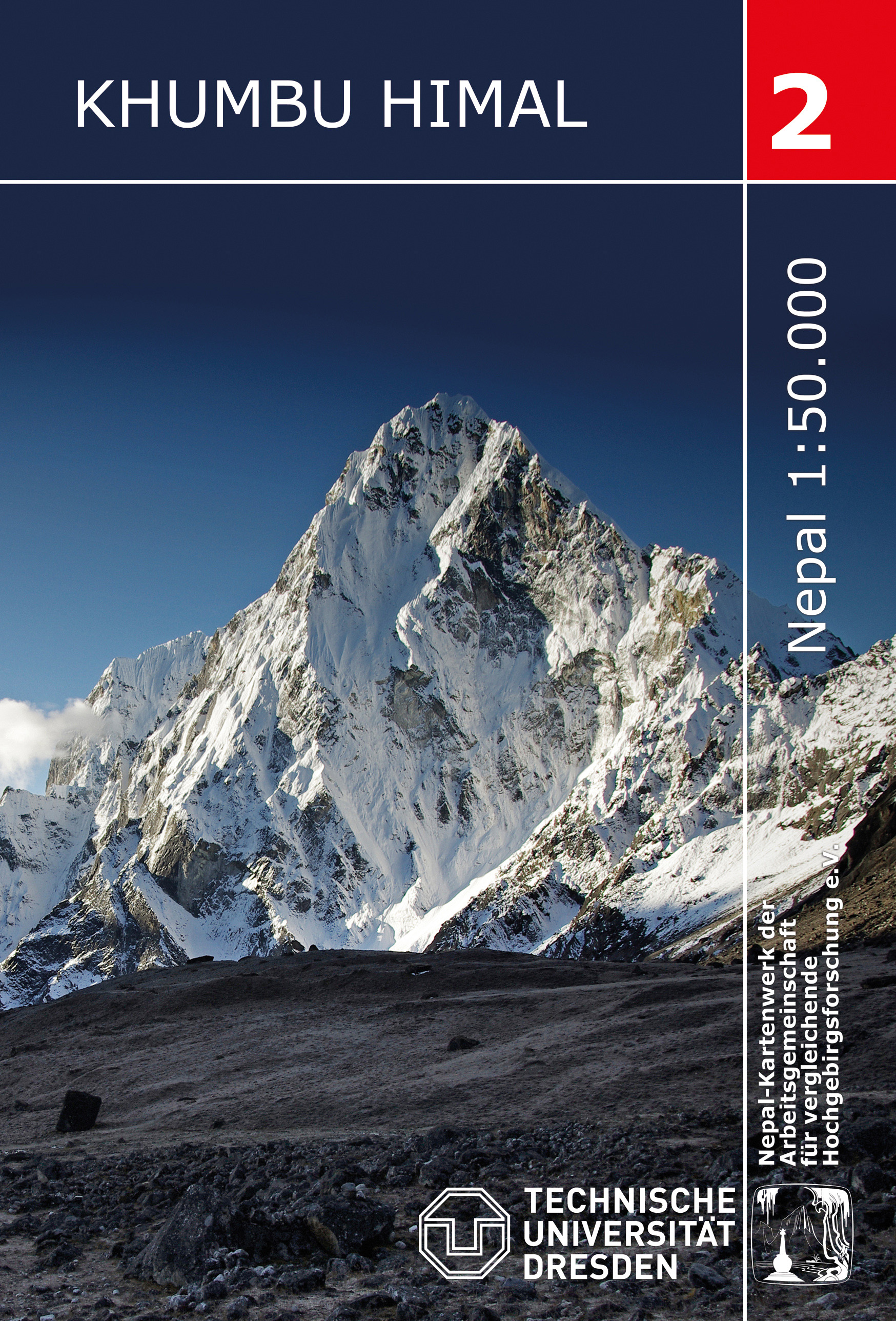
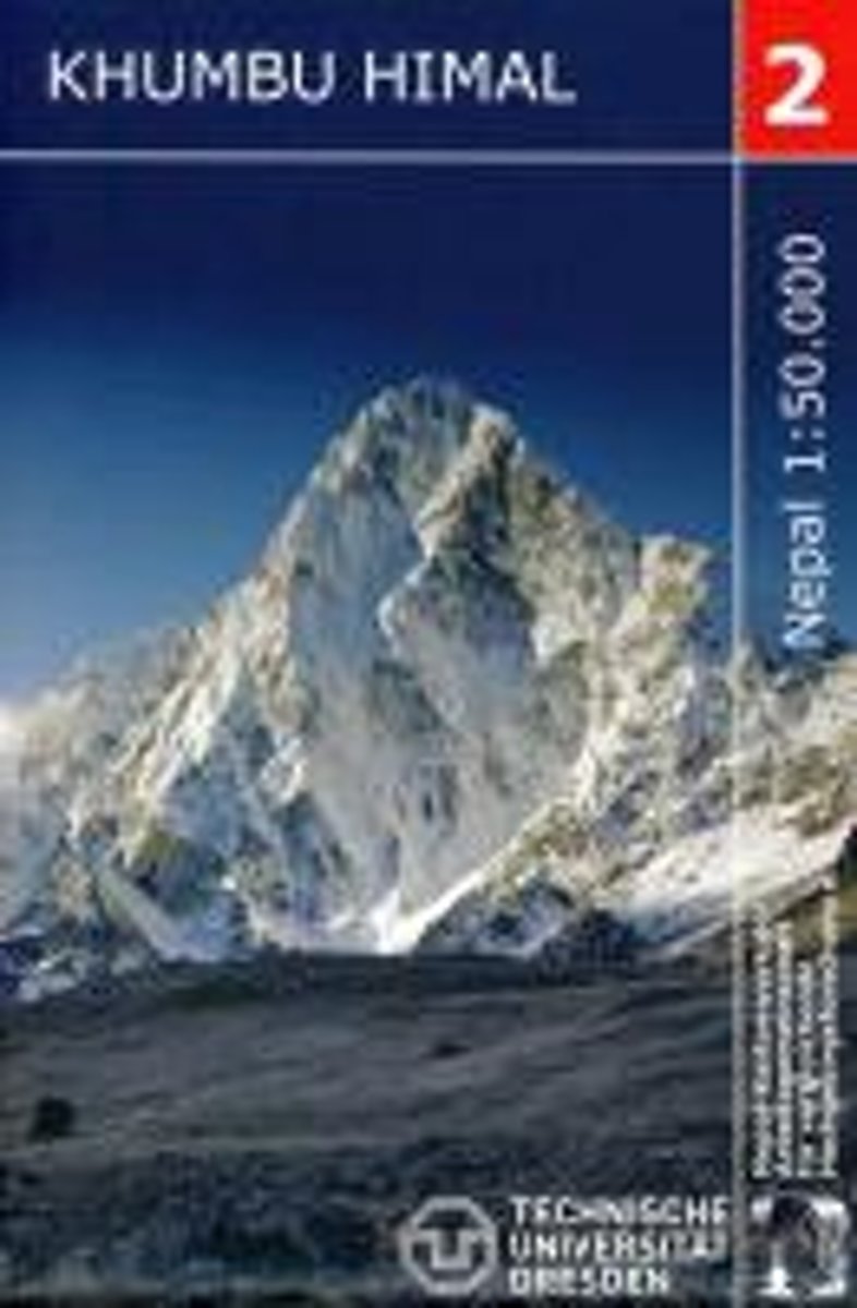
- Wandelkaart 02 Nepal Khumbu Himal | Nepal Kartenwerk
- Khumbu Himal area at 1:50,000 on a waterproof and tear-resistant map in the famous Schneider series, revised in 2013 to include extensive tourist information for trekking routes to the Mount Everest Base Camp, Gokyo Lakes, Island Peak, Makalu Base Camp, etc. Coverage extends north from Namche Bazaar and along the Tibetan border from the Lunag... Read more
- Also available from:
- Stanfords, United Kingdom

United Kingdom
- Khumbu Himal Schneider Nepal Map 02
- Khumbu Himal area at 1:50,000 on a waterproof and tear-resistant map in the famous Schneider series, revised in 2013 to include extensive tourist information for trekking routes to the Mount Everest Base Camp, Gokyo Lakes, Island Peak, Makalu Base Camp, etc. Coverage extends north from Namche Bazaar and along the Tibetan border from the Lunag... Read more
Netherlands
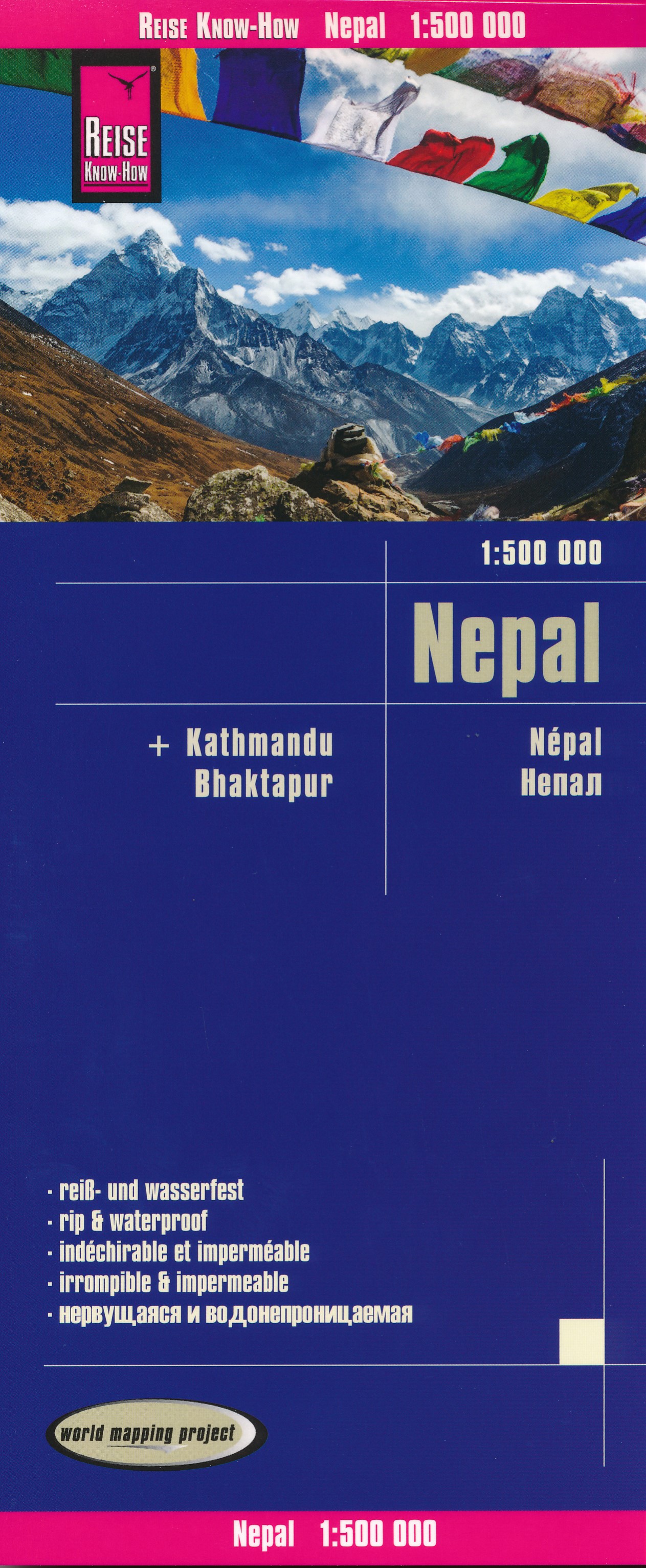
- Wegenkaart - landkaart Nepal | Reise Know-How Verlag
- Nepal on an indexed, waterproof and tear-resistant road map, ideal for locating the country`s numerous famous peaks, with topographic and tourist information, and enlargements for Kathmandu, Pokhara, and Chitwan regions, plus Bhaktapur. The map, published by Reise Know-How as part of their highly acclaimed World Mapping Project, is double-sided... Read more
- Also available from:
- Stanfords, United Kingdom

United Kingdom
- Nepal Reise Know-How
- Nepal on an indexed, waterproof and tear-resistant road map, ideal for locating the country`s numerous famous peaks, with topographic and tourist information, and enlargements for Kathmandu, Pokhara, and Chitwan regions, plus Bhaktapur. The map, published by Reise Know-How as part of their highly acclaimed World Mapping Project, is double-sided... Read more
Netherlands
- Khumbu Himal Trekking-Karte 1 : 50 000
- Khumbu Himal area at 1:50,000 on a waterproof and tear-resistant map in the famous Schneider series, revised in 2013 to include extensive tourist information for trekking routes to the Mount Everest Base Camp, Gokyo Lakes, Island Peak, Makalu Base Camp, etc. Coverage extends north from Namche Bazaar and along the Tibetan border from the Lunag... Read more
- Also available from:
- Bol.com, Belgium
Belgium
- Khumbu Himal Trekking-Karte 1 : 50 000
- Khumbu Himal area at 1:50,000 on a waterproof and tear-resistant map in the famous Schneider series, revised in 2013 to include extensive tourist information for trekking routes to the Mount Everest Base Camp, Gokyo Lakes, Island Peak, Makalu Base Camp, etc. Coverage extends north from Namche Bazaar and along the Tibetan border from the Lunag... Read more
Netherlands
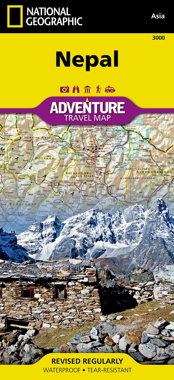
- Wegenkaart - landkaart 3000 Adventure Map Nepal | National Geographic
- Nepal Adventure Map from the National Geographic presenting the country at 1:625,000 on light, waterproof and tear-resistant synthetic paper, with a large panel showing the main sights and facilities in the Kathmandu – Patan area.The map is double-sided, dividing the country east/west with a good overlap between the sides. Topography is... Read more
- Also available from:
- Bol.com, Netherlands
- Bol.com, Belgium
- Stanfords, United Kingdom
Netherlands
- Nepal
- Waterproof Tear-Resistant Travel MapNational Geographic's Nepal AdventureMap is the most authoritative map for touring the country. Each waterproof and tear-resistant map provides travelers with the perfect combination of detail and perspective, highlighting points of interest for those venturing outside city centers.This durable, folded... Read more
Belgium
- Nepal
- Waterproof Tear-Resistant Travel MapNational Geographic's Nepal AdventureMap is the most authoritative map for touring the country. Each waterproof and tear-resistant map provides travelers with the perfect combination of detail and perspective, highlighting points of interest for those venturing outside city centers.This durable, folded... Read more

United Kingdom
- Nepal Adventure Map
- Nepal Adventure Map from the National Geographic presenting the country at 1:625,000 on light, waterproof and tear-resistant synthetic paper, with a large panel showing the main sights and facilities in the Kathmandu – Patan area.The map is double-sided, dividing the country east/west with a good overlap between the sides. Topography is... Read more

United Kingdom
- Ama Dablam
- Mt. Everest area on a contoured and GPS-compatible map at 1:40,000 from Nepa Maps, designed to show trekking routes from Namche, Tengboche and Pangboche towards the Ama Dablam and Imja Tse (Island Peak) Base Camps, and the continuation climbing routes towards these two peaks, Lhotse and Lhotse Star.With Thamo and Namche Bazar in the... Read more

United Kingdom
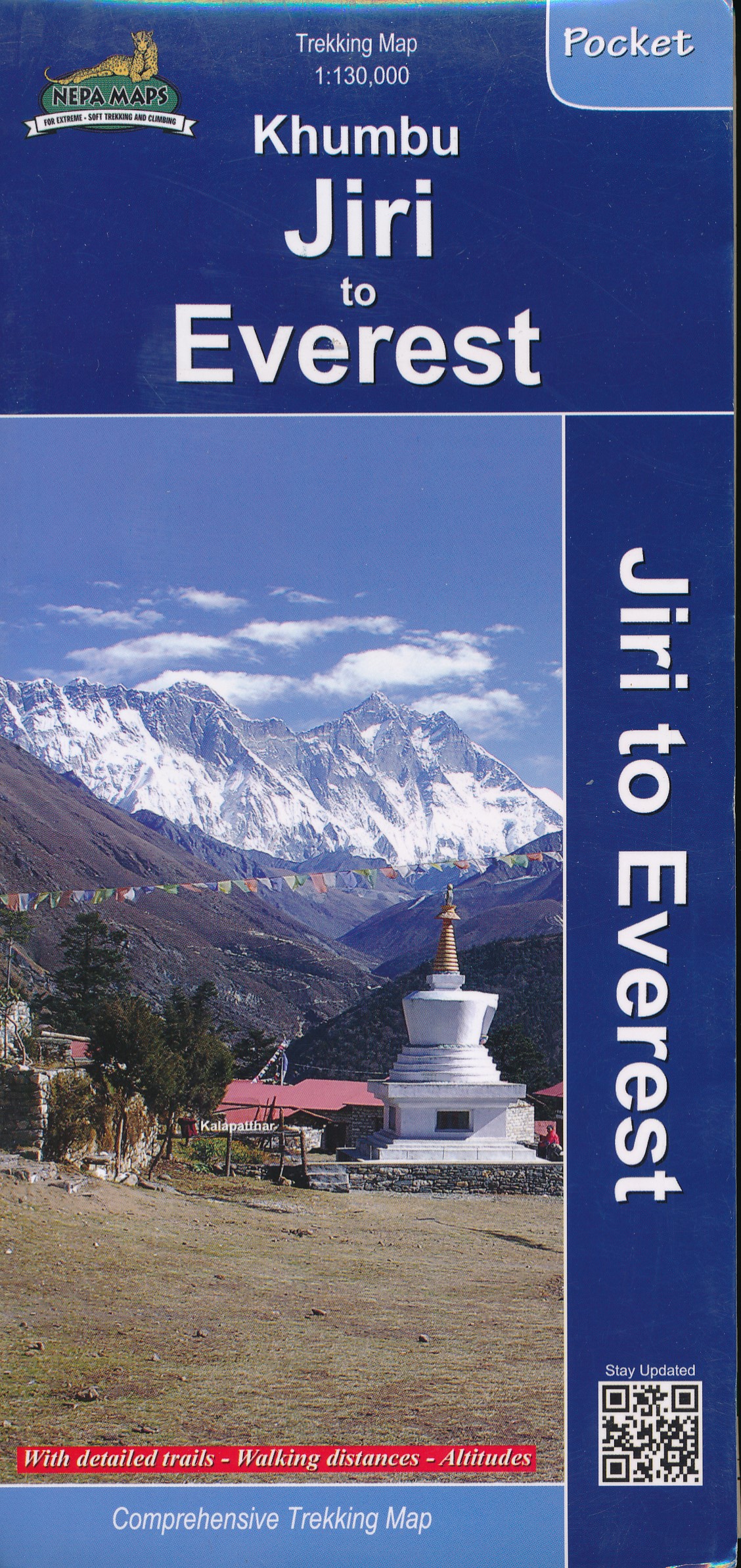
- Khumbu - Jiri to Everest Nepa Maps Trekking Map
- Trekking route from Juri to Lukla and Namche Bazaar, and then on to the Everest Base Camp presented on a map at 1:100,000 from Nepa Maps. In addition to the main trekking route from Jiri to Mt Everest the map also highlights several other routes in the Khumbu region including treks to Gokyo Lakes, Island Peak (Imja Tse), Mera Peak, Amphu Labsta... Read more